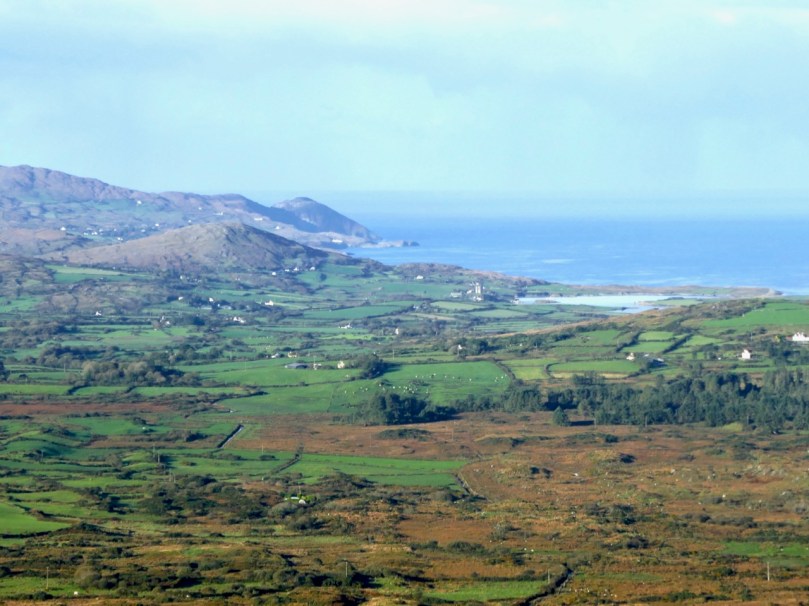
Wending the Boreens

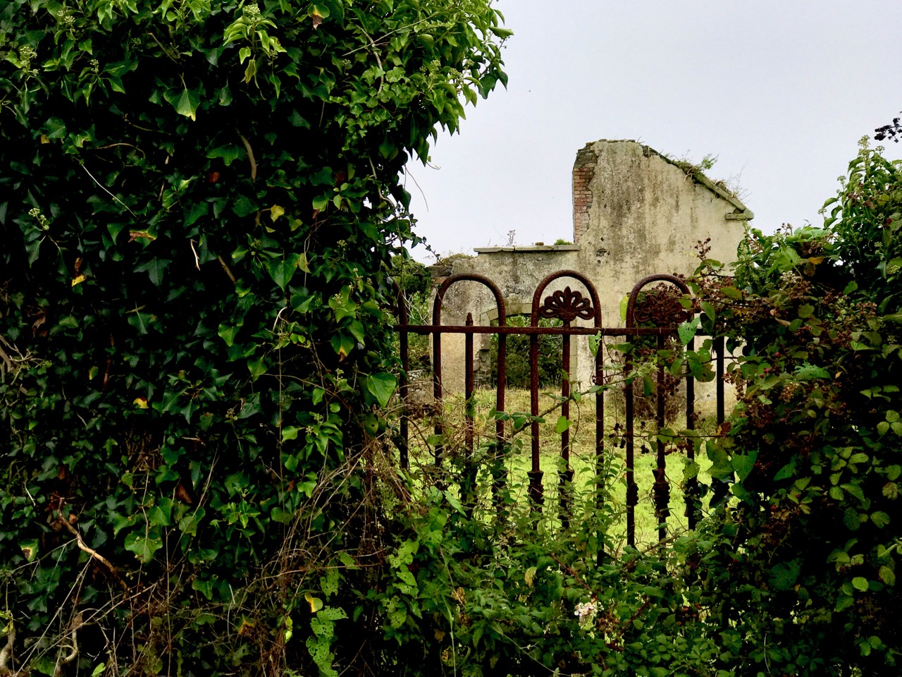
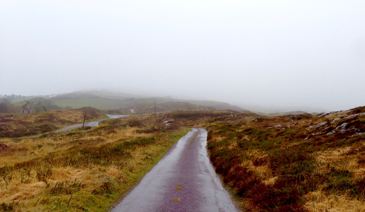
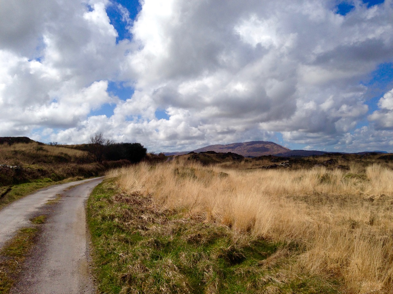
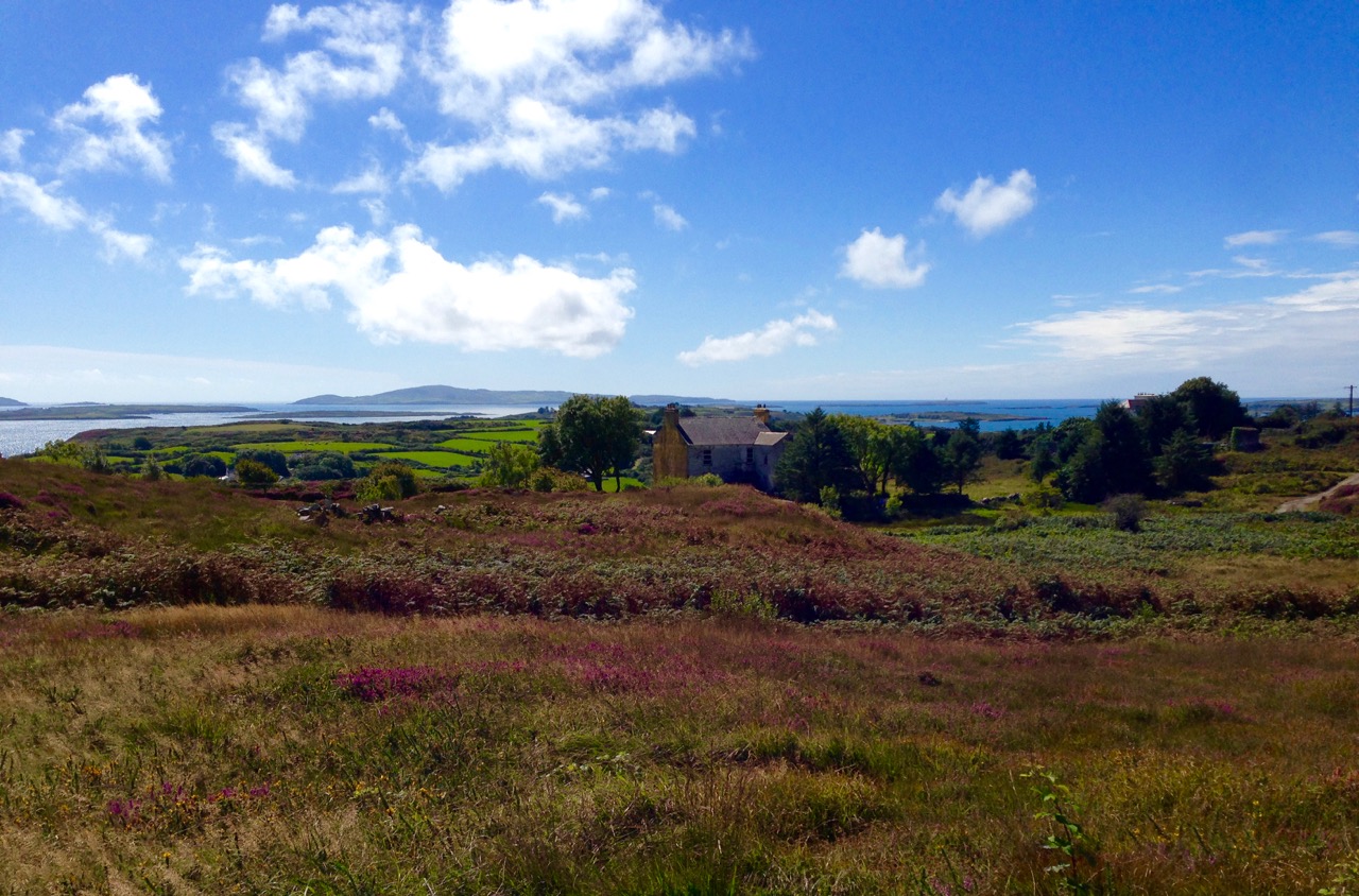
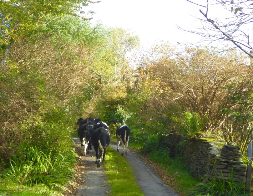
Only in Ireland can you wend your way along boreens. The Irish word is bóithrín, – a small bóthar (road). We are surrounded by them in our West Cork townlands. In these days of Covid19 restrictions, they are our whole world. With a maximum walk of 5 kilometres allowed, we can only ever be on boreens. But that’s no hardship – mostly they are beautiful (in fact they are all beautiful), and we enjoy every step we can take. So today’s post is simply a celebration of what is around us. But I have also combed the RWJ archives to look for boreens outside of our local area, for a bit of variety and comparison. Rest assured that any illustrations beyond our present limits were taken in other – normal – times!

Of course a ‘boreen’ or small road doesn’t have to be in a rural location, This fine boreen in Eyries, on the Beara Peninsula, is in fact a well used highway through the town, but you can’t deny that it is as atmospheric and picturesque as many of the rural byways shown here. It’s a moment in time captured for all time.
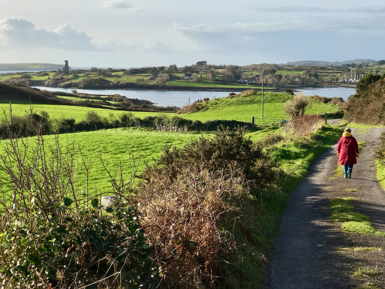
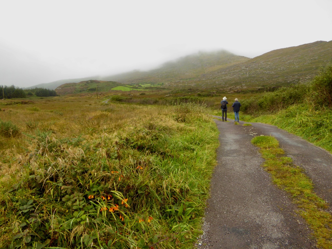
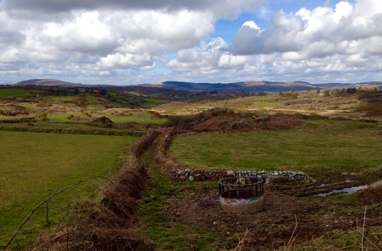
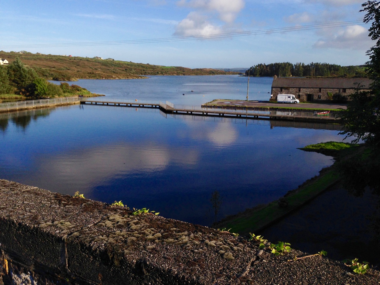
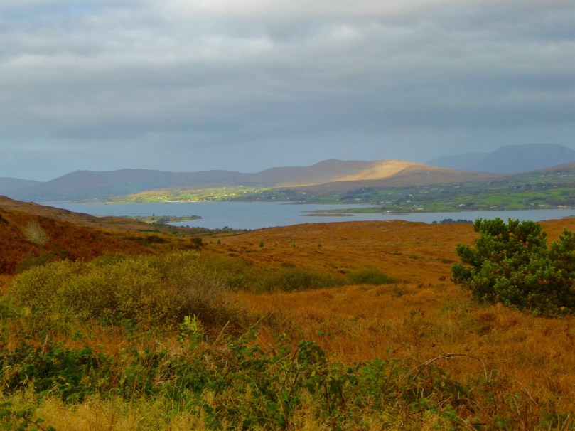
The photo at the top of the page is special for us: it’s the view we get when we turn out of Nead an Iolair, heading down towards Rossbrin Cove. And there (above) is our first glimpse of the sheltered harbour, overlooked by the medieval castle that was the home of Clan Chieftain Fininn O’Mahony in the 15th century. Not only do we have all the wonders of West Cork’s landscape on our doorstep, but we also have deep history as well…
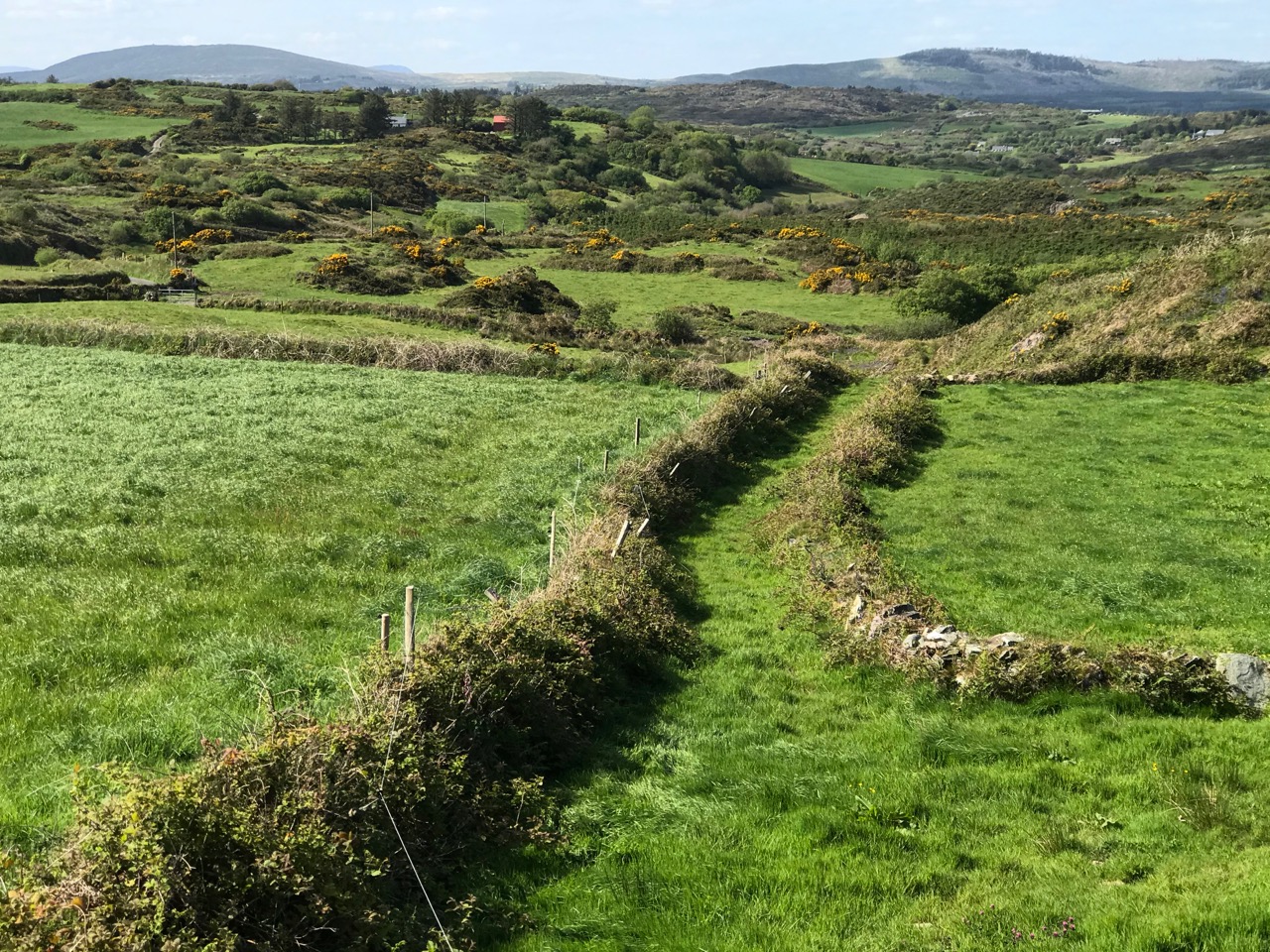
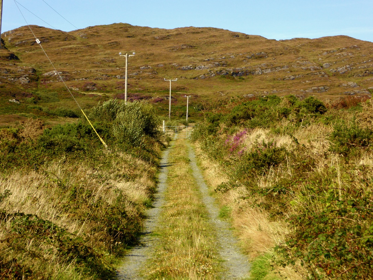
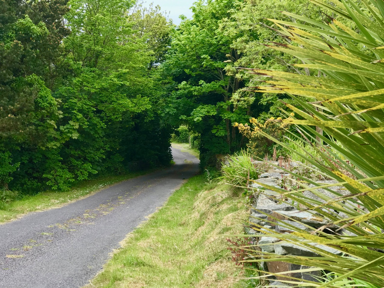
How much closer can you get to nature than this ‘green’ boreen just a short walk up the road from where we live in Cappaghglass? The stone hedge banks have become completely assimilated into the surroundings, and are a haven for so many native species of wildflowers, as Finola will readily point out to us!
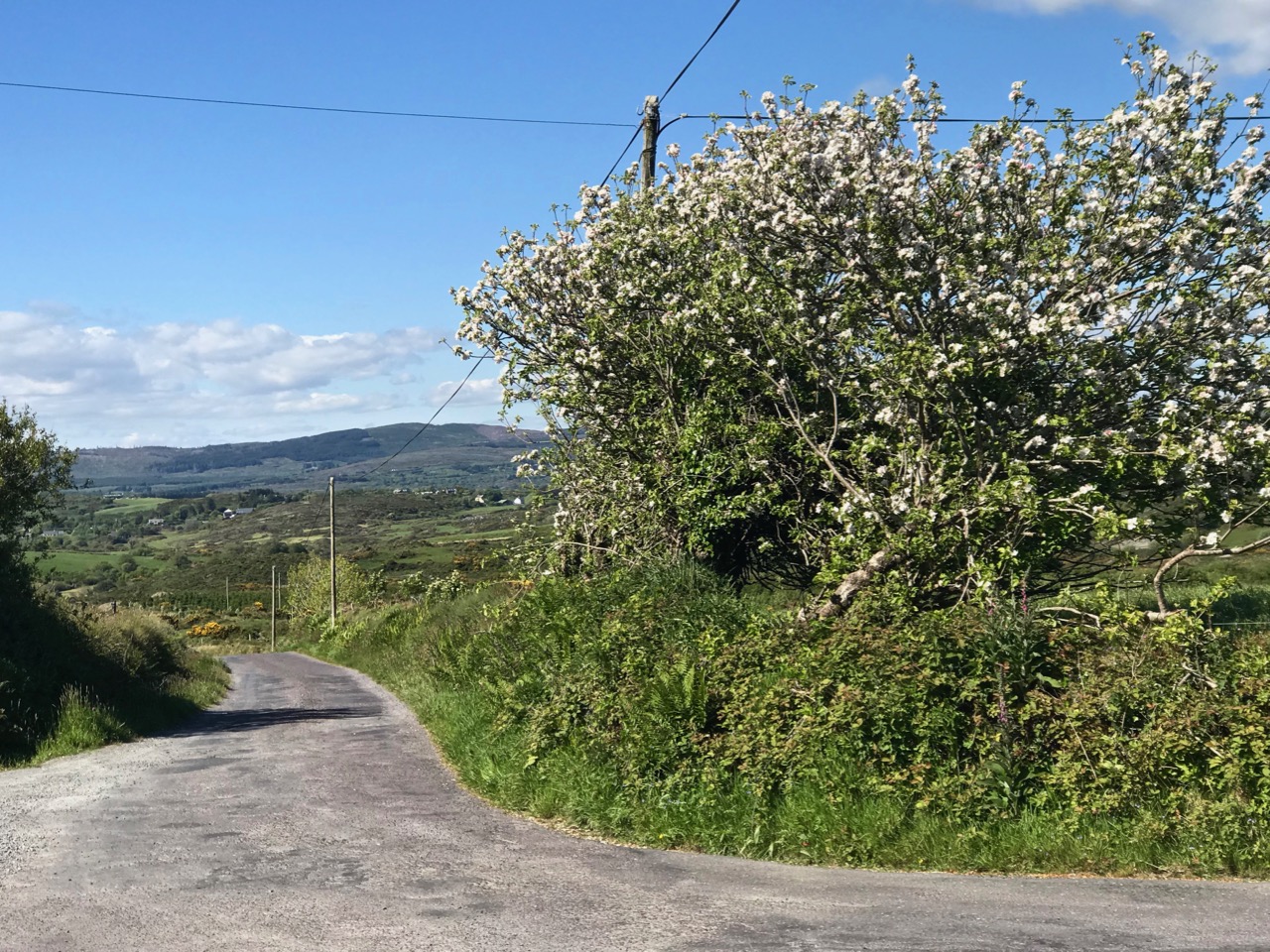
And just a few yards from that last green trackway is the boreen that takes us down into our village of Ballydehob. Those are apple trees flourishing as part of the natural hedgerow.
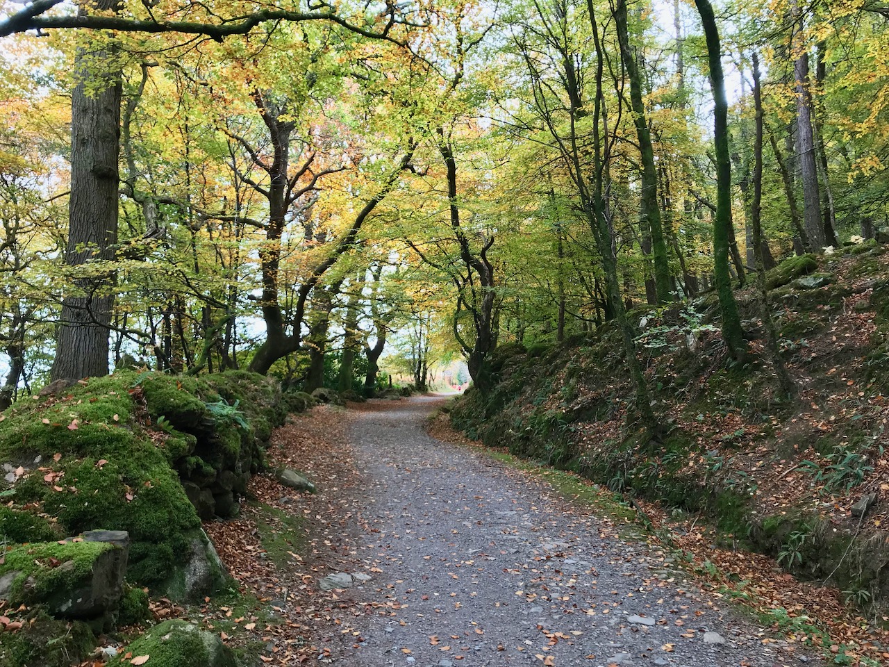
We have very little woodland around us here. This slightly mysterious tree-lined boreen was found on our travels near Glendalough, in County Wicklow, last year.

Close by the little harbour of Glandore (in Irish Cuan D’Ór – Harbour of Gold) in West Cork, we found a secluded boreen which pointed us towards an oddity: a pyramid in a graveyard – well worth a visit. Read about it in this post from two years ago.
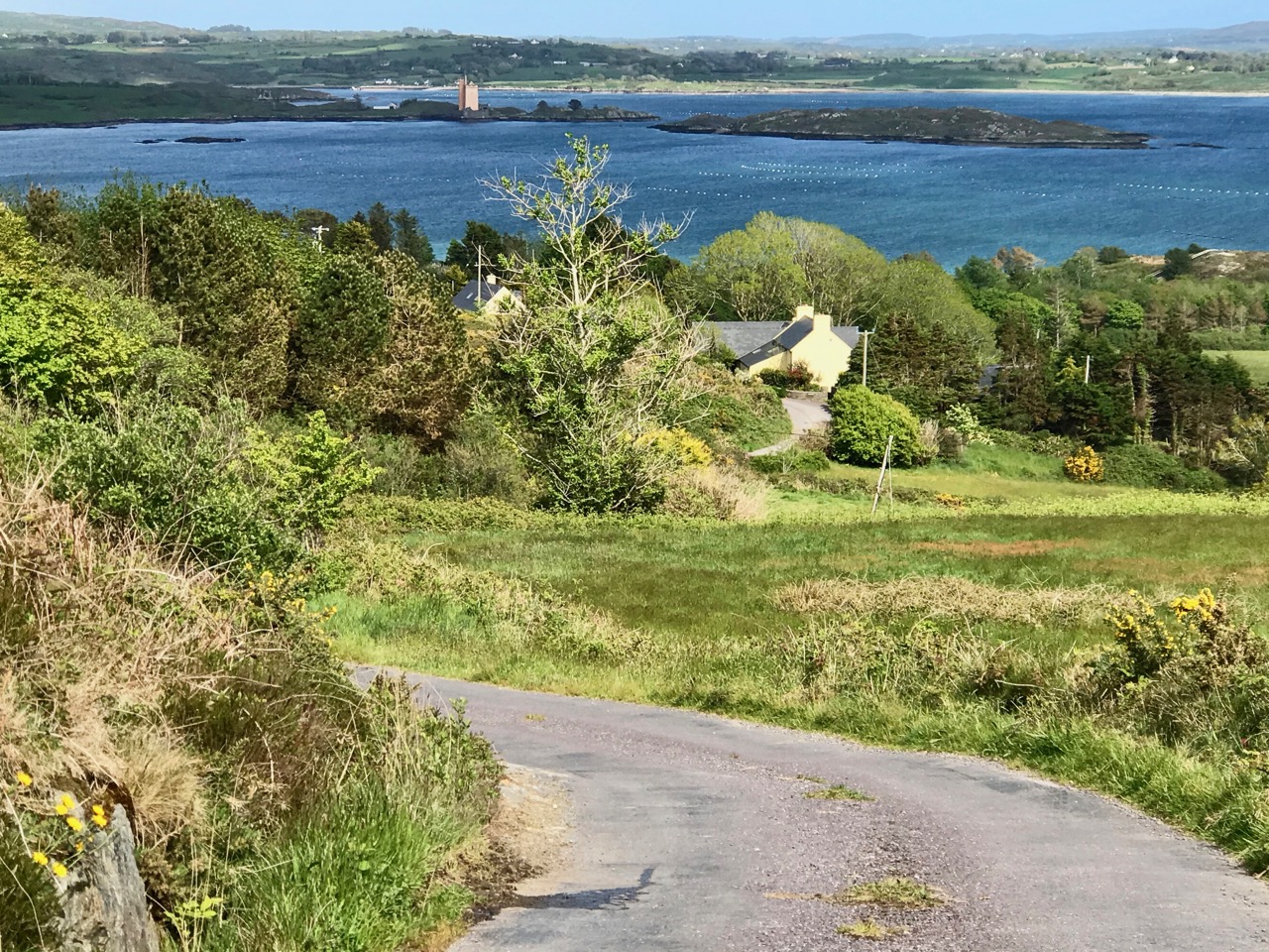
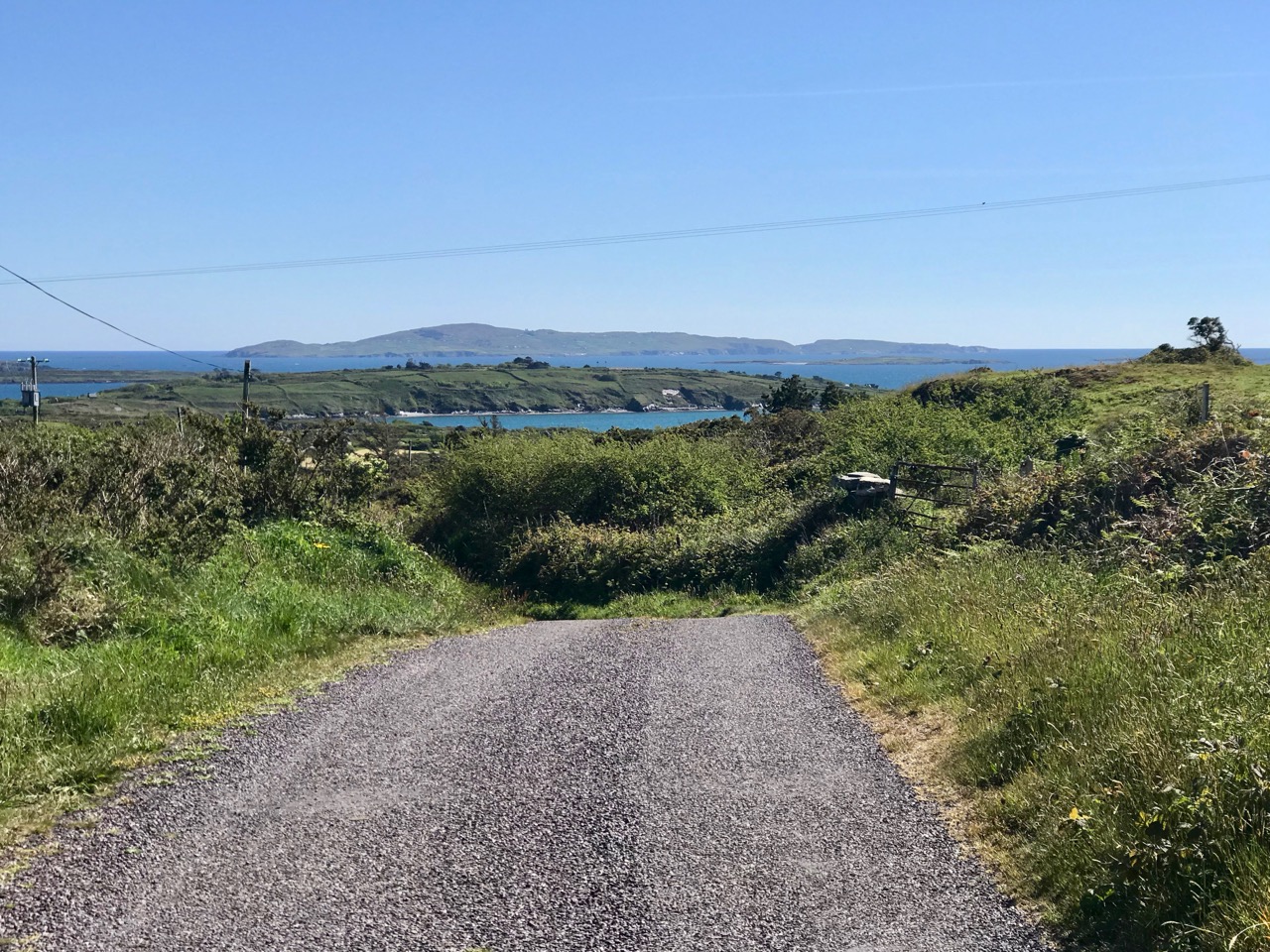
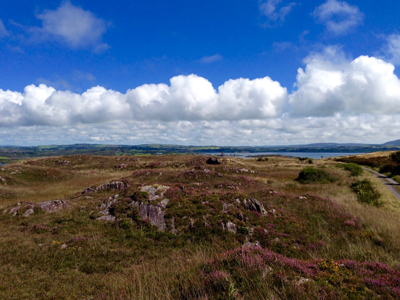
Returning to our own neighbourhood these two recent photos, taken only a couple of days ago, show how you can never quite know what you are going to find just around the corner or over the brow of the next hill. That’s Jeremy Irons’ Kilcoe Castle in the upper picture, and Cape Clear Island (on the horizon) in the lower one.
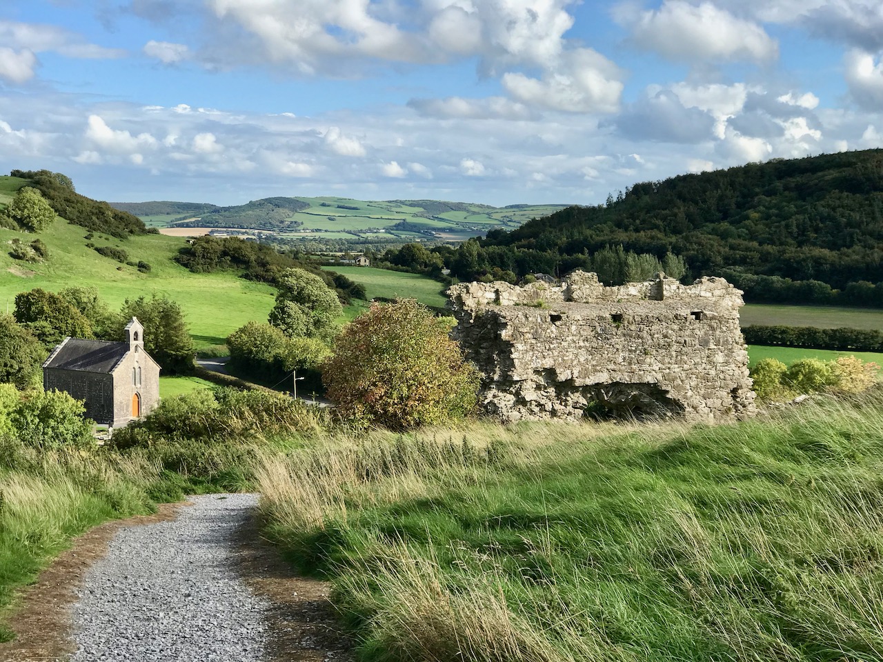
In contrast, here’s a little trackway that takes you up to the summit of the Rock of Dunamase in County Laois. This historic site with a view is associated with momentous events in the history of this country: in the painting by Daniel Maclise that hangs in the National Gallery of Ireland, The Marriage of Strongbow and Aoife is depicted as taking place at the now ruined Great Hall on the Rock. You can find the whole story of this most critical juncture in Ireland’s history in Finola’s post here.

Even further afield – in Ballymoney, Co Antrim – is this spectacular avenue of beech trees planted on the entrance driveway leading to an eighteenth century Georgian mansion, Gracehill House. This boreen – open to pedestrians – is known as the Dark Hedges, and we visited it when we explored the North of Ireland three years ago.

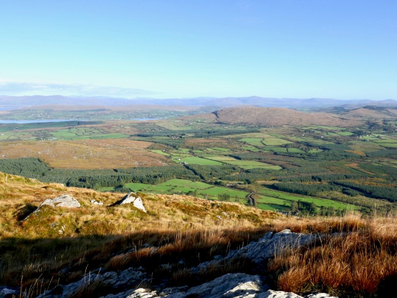
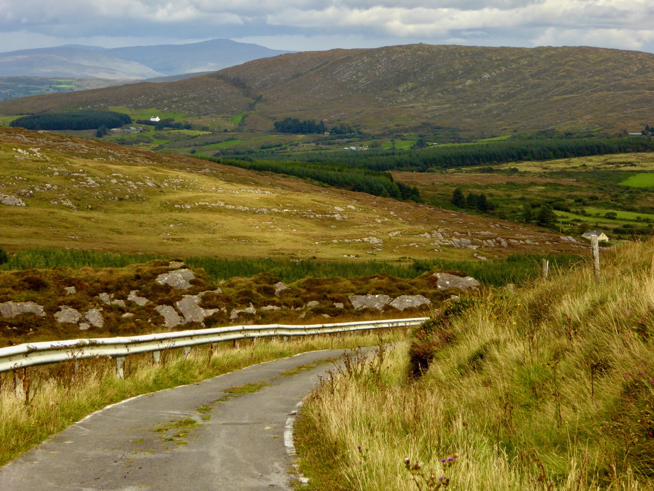
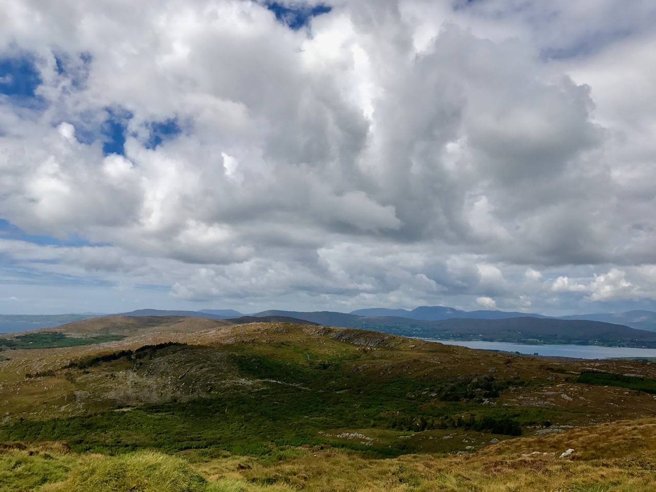
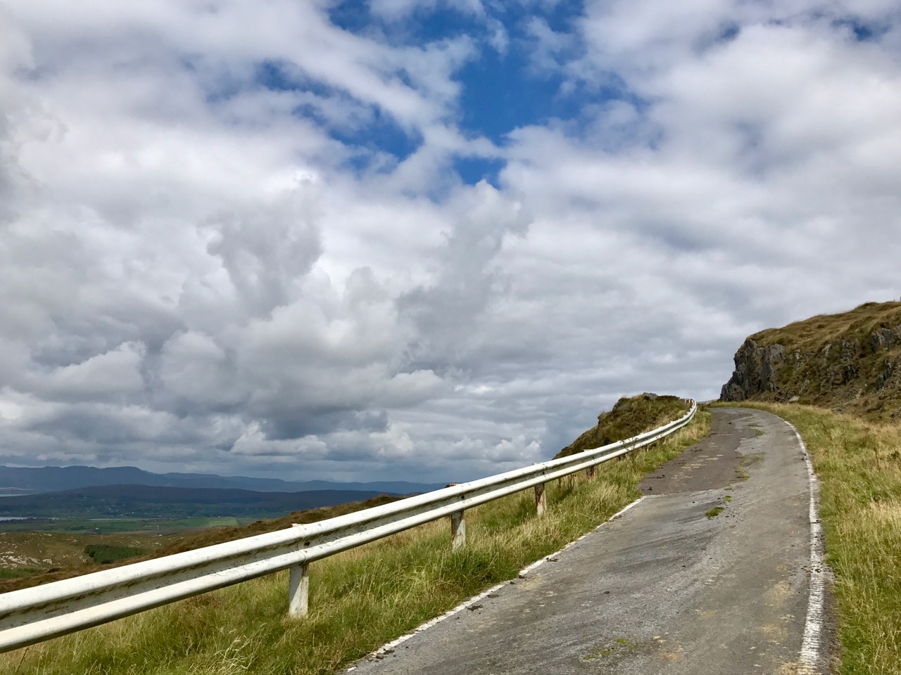
Although in normal times we travel a lot – on major roads and motorways, as well as boreens – the places we like the best are near to home. How could we not be impressed by the winding boreen that climbs to the top of Mount Gabriel, the highest point on the Mizen? Look at the spectacular views (above). The preacher Caeser Otway travelling in this area in 1822 wrote:

. . . On my way to Bantry I passed the dark and lofty Mount Gabriel and took my way over a dreary, comfortless tract of country. Let no one say after looking at these moors , studded over with cabins crowded with children, pigs, goats, cocks and hens that an Irishman is not an industrious creature . . . Men, women, boys and girls toiling up the mountainside with seaweed and sea sand in baskets on their backs . . . See them reclaiming from amidst rocks and bogs, patches of ground on which to cultivate their only food, the potato; and no one witnessing this struggle of human industry against nature, but must acknowledge that the Irish are a most industrious race . . .
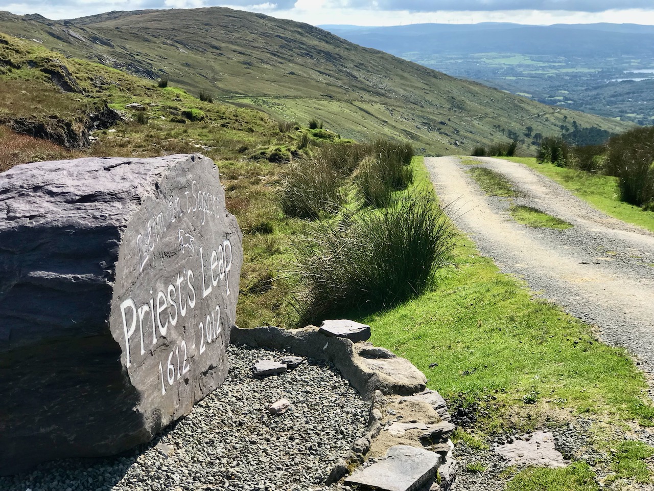
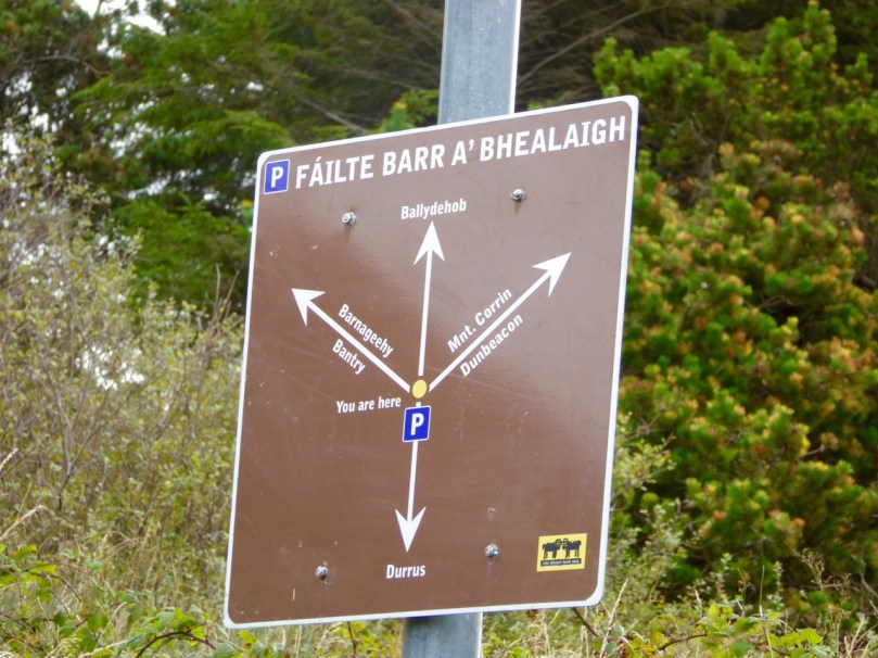
The 400 year old road that crosses the mountains from Cork into Kerry north of Bantry has to count as a boreen, as it’s single track for much of the way. The Priest’s Leap sign (above) marks the point at which the two counties meet. Although we have travelled all over Ireland in our explorations, this is still one of our favourite routes, and always will be. We so look forward to being able to go there again, when the present ‘lockdown’ is lifted.
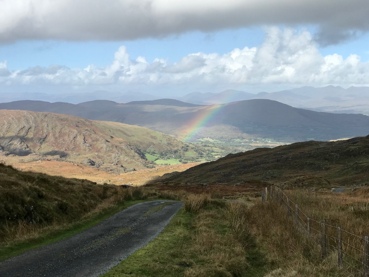
Another glimpse of the Priest’s Leap ‘boreen’.
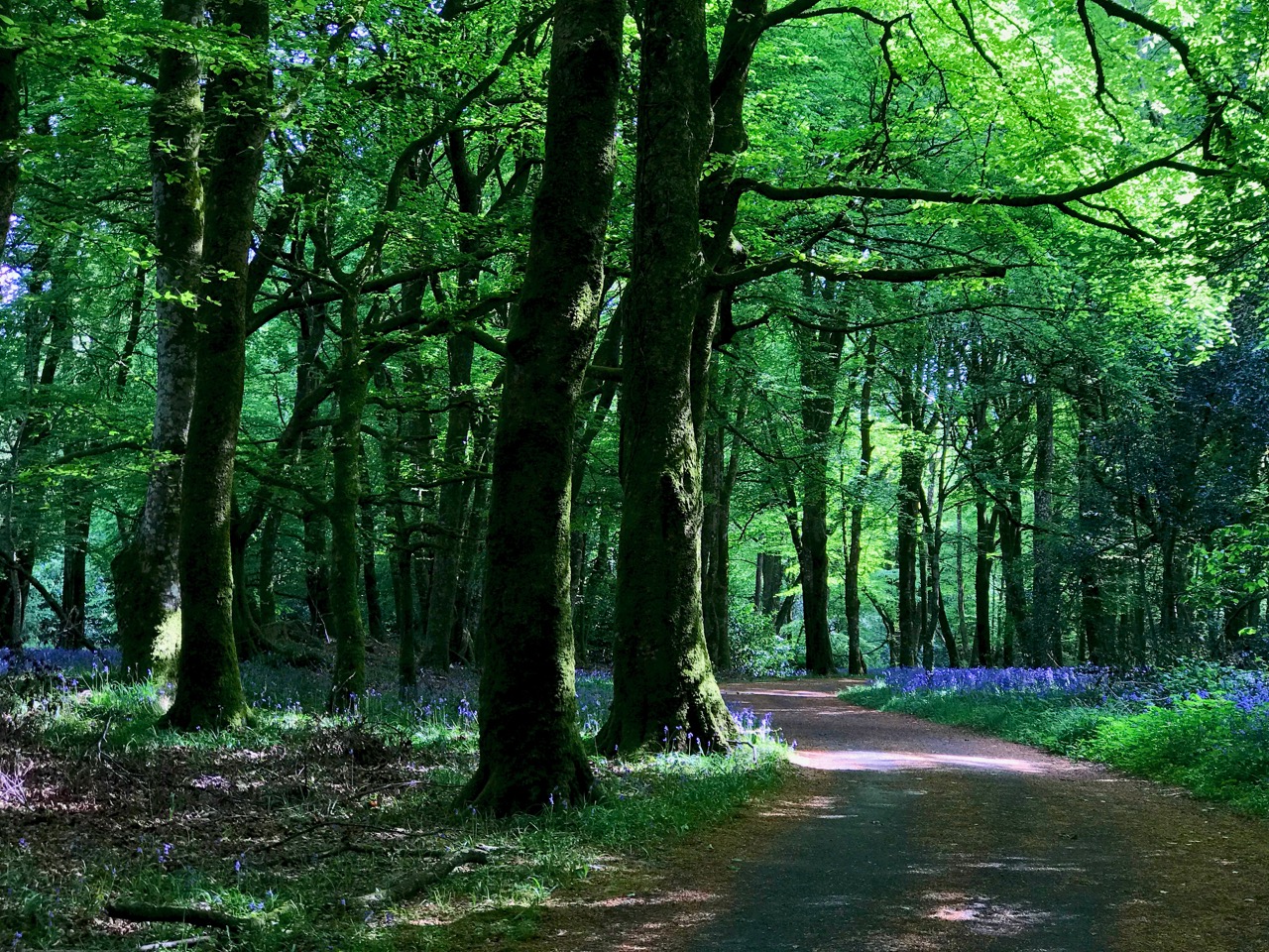
This elegant woodland boreen is a fine example of regency landscaping, being part of the Ballyfin Demesne in Co Laois. Like so many of Ireland’s fine luxury hotels, Ballyfin remains closed until the Covid19 restrictions are lifted.

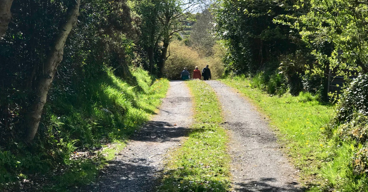
We’ll finish this post where we started – near to home in West Cork, with happy memories of unrestricted rambles with friends along the quietest and most beautiful of Ireland’s boreens . . .
Mizen Mountains 4 – Corrin

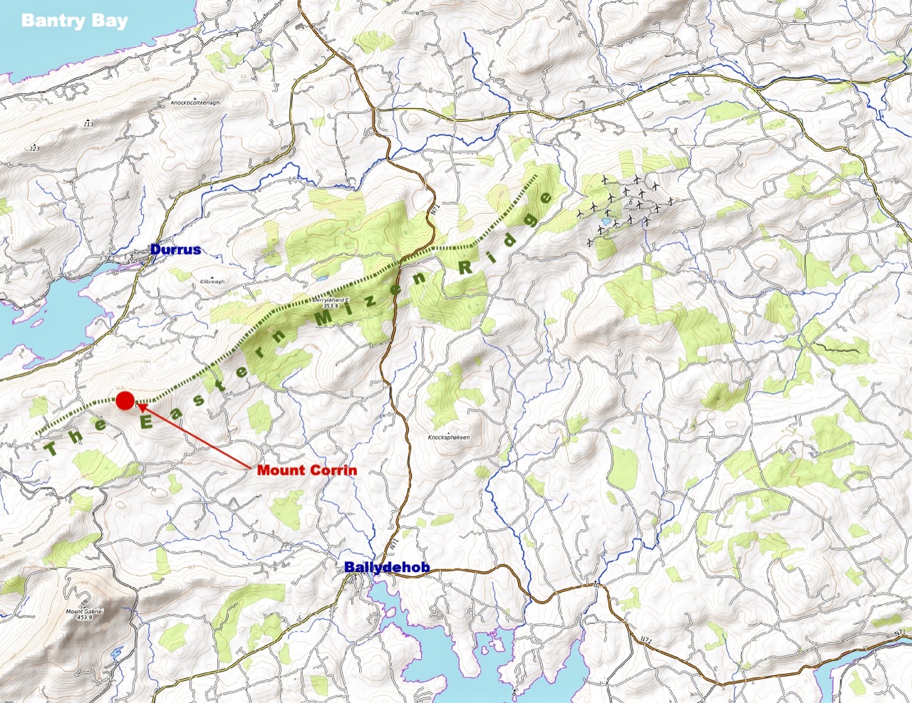
The world is in trouble – but in our tiny corner of it we find ourselves taking the time to get out into the open air, lapping up any chance of sunlight, and bracing ourselves against the bitter east winds that seem to prevail at the moment. Following last week’s escapades, when we discovered new territory just beyond the boundaries of the Mizen, we decided to take up the challenge of one of the most significant Mizen peaks – Mount Corrin.

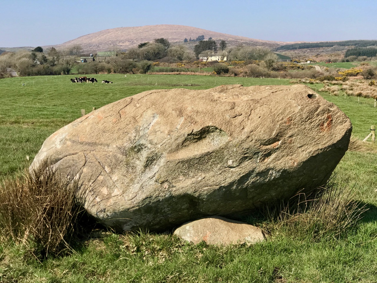
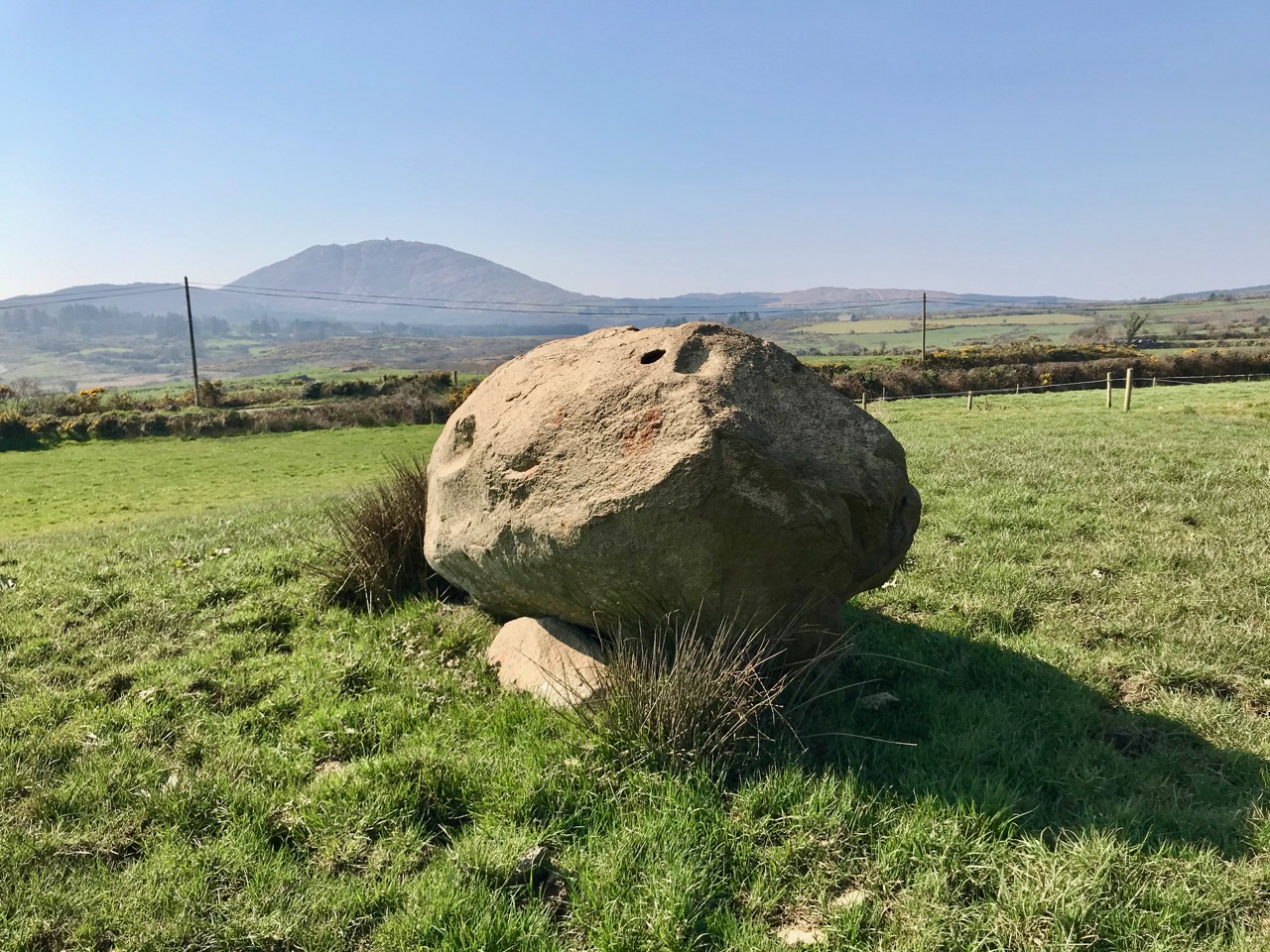
Upper – the elevated boulder burial at Rathruane – probably Bronze Age – seems to echo the profile of Mount Corrin – a perfect peak – away to the west, while – lower – the same monument also stands in context with Mizen’s highest mountain – Gabriel – to the south

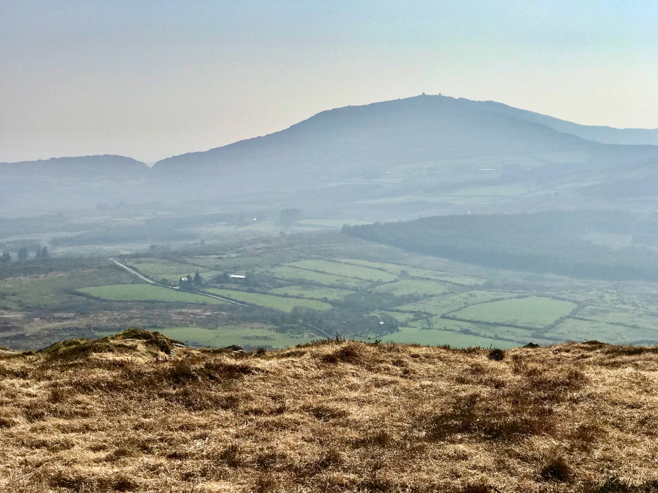
We have passed the spring equinox, and days are now longer than nights. It’s a good time to consider seriously exploring the high ridges again. Corrin – 284 metres – is not the highest summit on the Mizen, but its profile is one of the most distinctive as it rises from lower ground on all sides – a ‘proper’ mountain! in this respect it is  surpassed only by the Mizen giant – Mount Gabriel. We’ll tackle that one later on. We notice that Gabriel is always visible to us, from whatever elevated ground we traverse.

Last time we tackled Letterlicky, which is at the furthest edge of the eastern Mizen Ridge: today’s summit is on the west side of the same ridge  We have, of course, been to the top of Corrin before: Finola’s post of October 2015 describes previous expeditions. Then, the light was magnificent and the skies were clear blue – such a contrast to the beginning of this week, when the landscape has been pallid – all washed-out browns and yellows: spring  still hiding its face in West Cork.

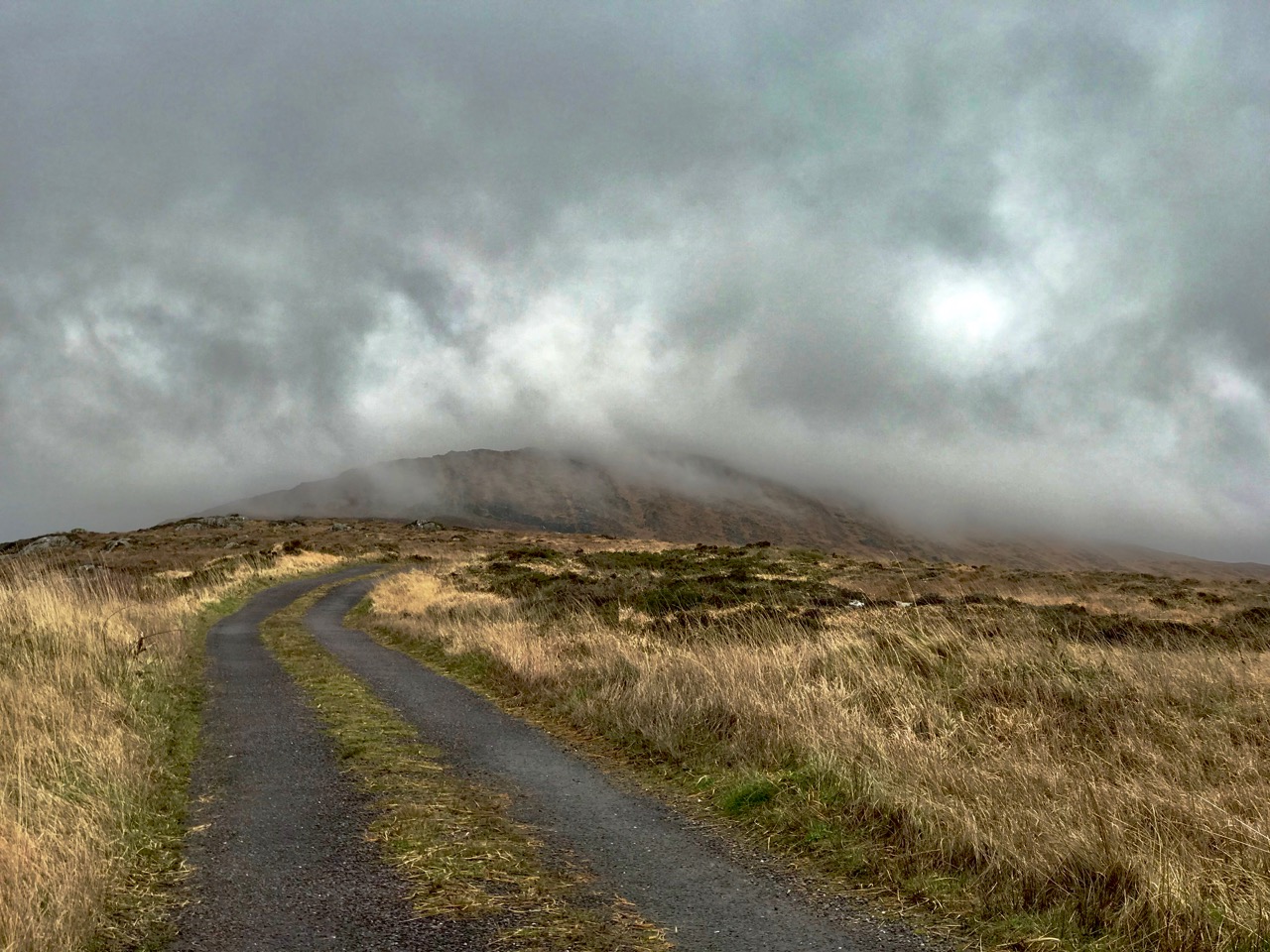
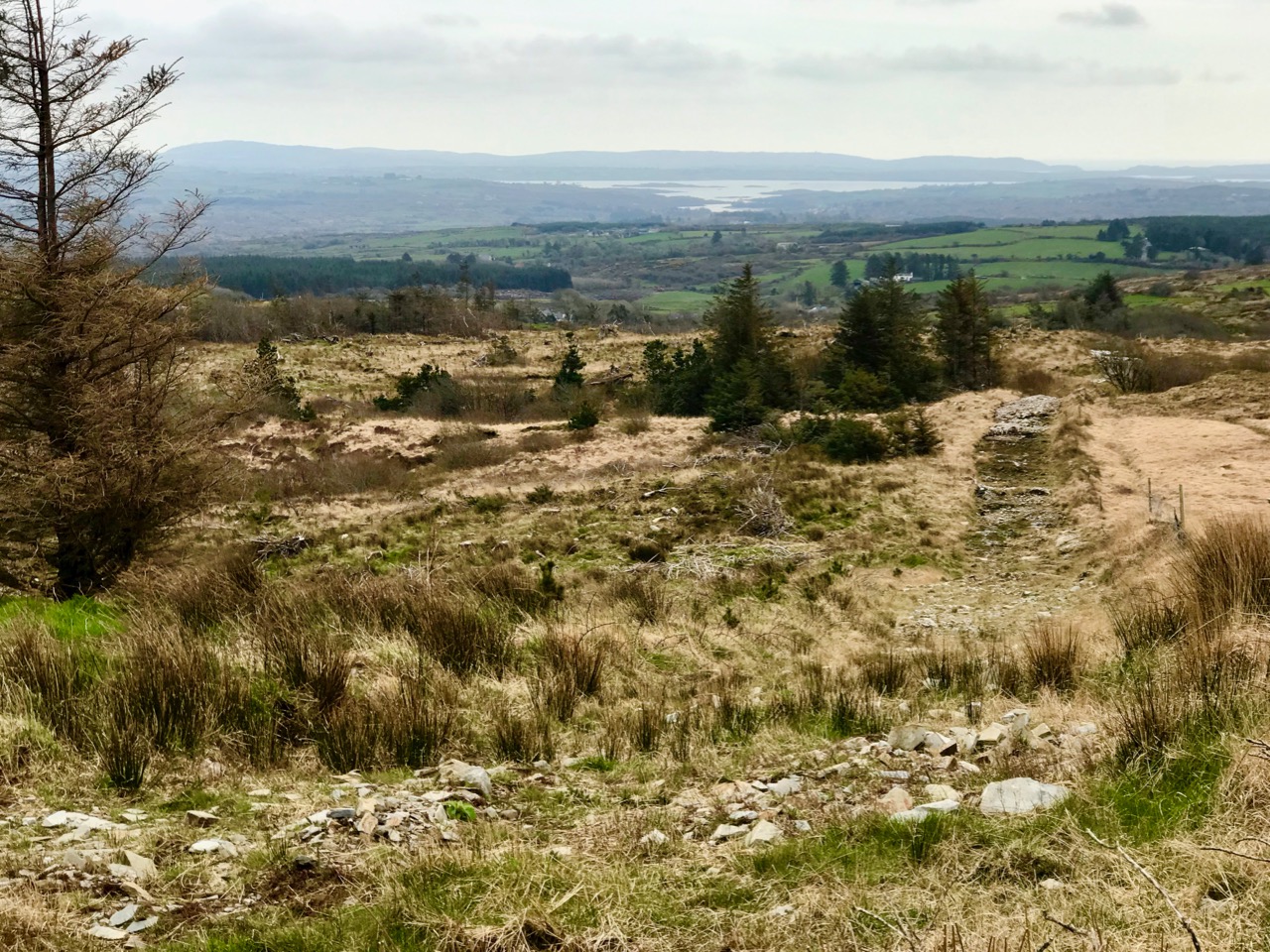
Upper – approaching Corrin on a challenging day. Lower – on the ascent, good distant views can be got to Ballydehob Bay, in spite of poor weather

We were the only souls on the mountain: it’s a good way of being self-isolated. But any walk in a natural environment in these strange times is exhilarating. In fact, we made two journeys to Corrin in the week: the first had to be abandoned in haste when halfway up due to waterlogged footwear and a biting cold easterly.

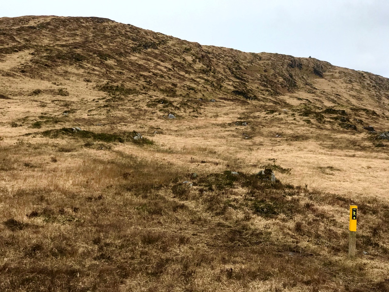
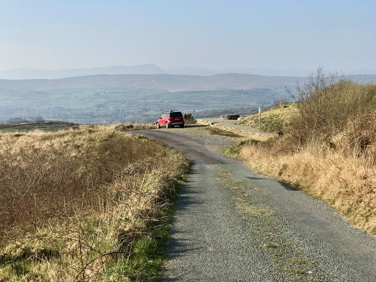
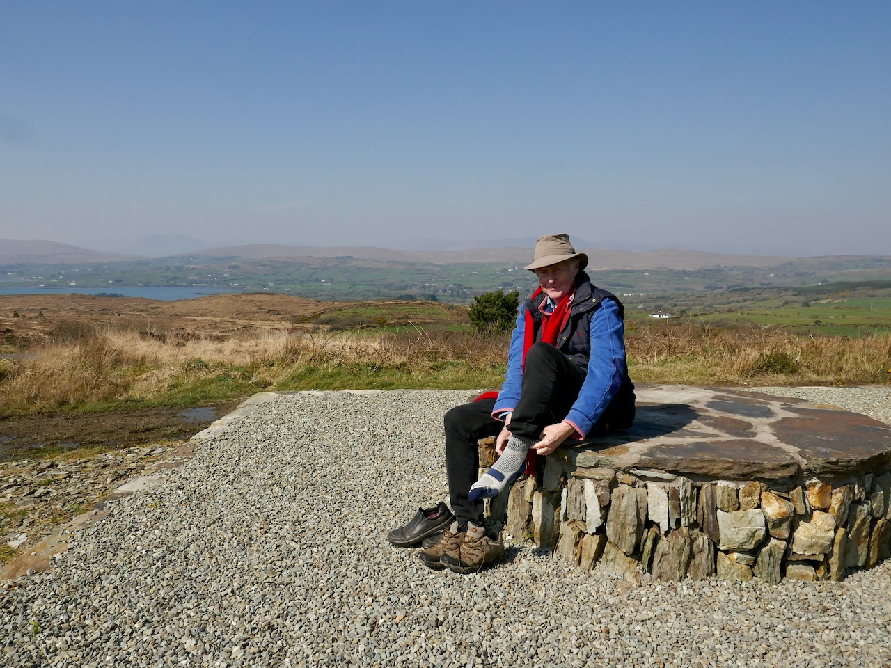
Upper – on our first attempt on Corrin we got as far as this wilderness before turning back. Centre – park here for the Corrin trail! It’s well marked and accessible from the east side. Lower – a convenient seat for donning the right footwear! This is on our second attempt, in much improved conditions

Suddenly – on Friday – everything changed. Out of nowhere came a bright, clear and windless day. We hurried out to complete our journey to the summit, revelling in the light. It was as though, for the first time in the year, there was a sense of expectant renewal. When we arrived home, it was to discover that Ireland had been plunged into lockdown: we (the ‘elderly and vulnerable’) have to stay in our homes unless needs are urgent (food and medicine) although we are permitted to exercise close to home, always keeping a safe distance from others.

Upper – Finola looks back along the ridge towards our previous goals (Lisheennacreagh and Letterlicky). Centre – spectacular views of Gabriel and the Barnaclleeve Gap are had from Corrin. Lower – the track is well marked: we are approaching the summit cairn

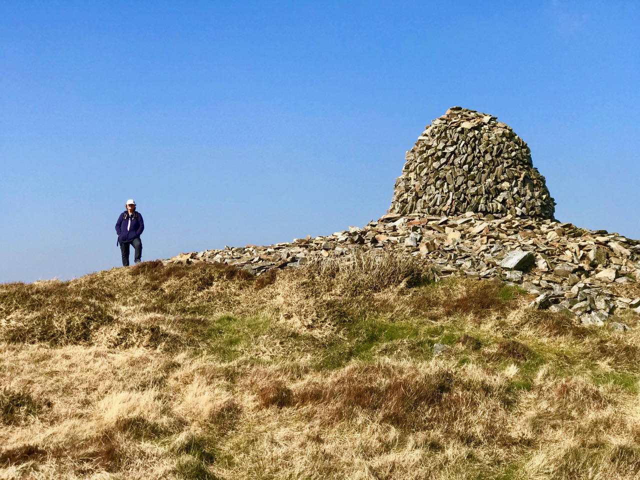
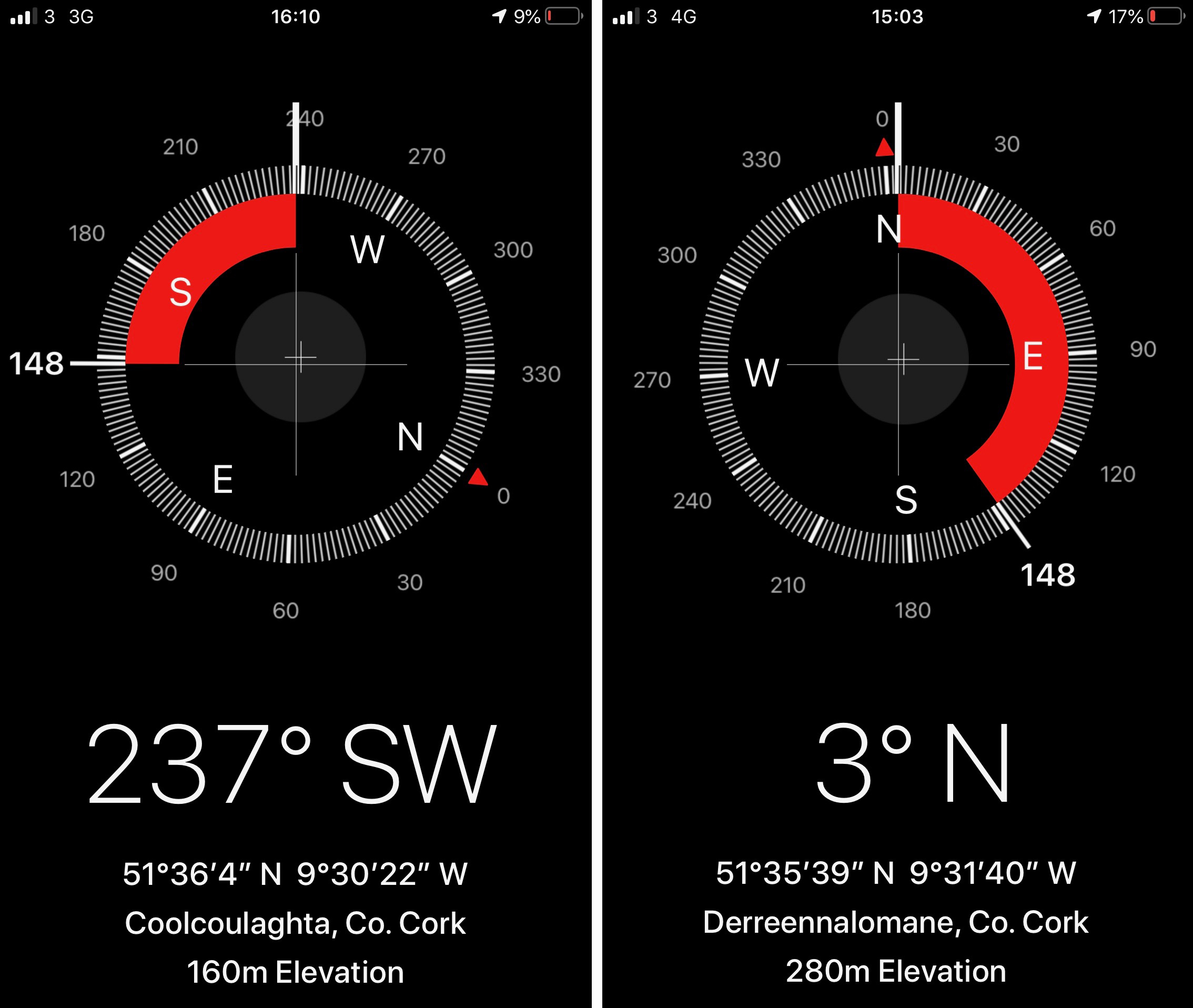
There is history on this mountain. The summit is crowned by a significant cairn. If the peak is named from the cairn – which seems likely (West Cork folk would pronounce ‘cairn’ corrin), it must have had ancient roots going back through many generations. The National Monuments Record makes brief mention of it: Class: Cairn – unclassified – Townland: Coolcoulaghta, Derreennalomane – On top of  Mount Corrin, commanding view. Sub-circular cairn (H 0.7m; 13.6m E-W; 15m N-S); modern cairn built in centre (H 2.7m; circ. 10.9m). On the way up from the east side, the path passes directly over some large prostrate slabs which look very much like a broken wedge tomb. The NMR says only this: Megalithic structure. There are also, near the summit, three substantial stones in an alignment. The NMR is silent on these.

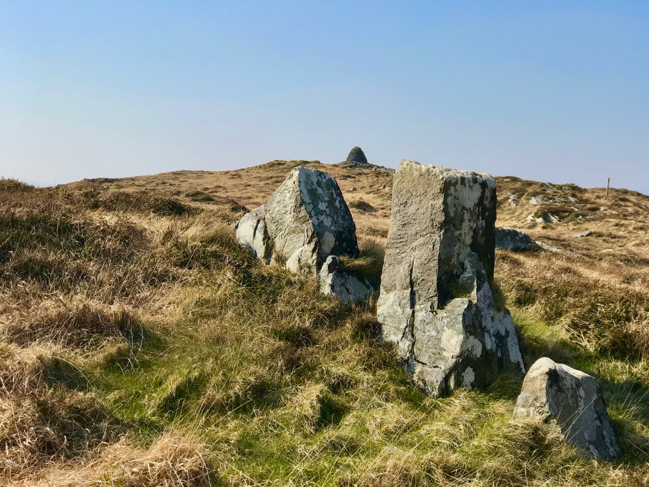
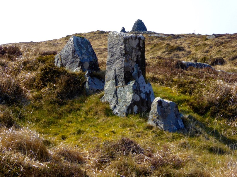
Upper and centre – a possible broken wedge tomb on the slopes of the mountain. Lower – a convincing three-stone alignment which doesn’t get a mention in the Scheduled Monuments Record

Duchas has a far more exciting mention of Mount Corrin, with this ‘True Old Story’ recorded in 1936 from Dreenlomane School:

A True Old Story

. . . About eighty years ago where there was no talk of anyone being able to fly there lived in Screathan Uí Laoghaire [Scrathanleary] a very clever man named Julian Camier. He had a house built, and quarried slate on the other side of Cnoc an Chairn at a place called Leaca Dhubh, and then he made a pair of wings. He told all the people that he would fly if each one of them brought a couple of slates home for him. When the day came crowds of people ascended on Mount Corrin to see him fly. He went on top of a high cliff and put on his wings but they failed to work when he spread them out and he jumped into the air and he fell off the cliff and hurt his leg. All the people took pity on him and each one brought a couple of slates down to his house so he got the slate brought home easy, and after that he was known as “Fly away Julian” . . . 
 

Patrick Donovan, Dreenlomane, Ballydehob, Skibbereen

Obtained from my father, Patrick Donovan 52 yrs

The Duchas Schools Folklore Collection also mentions folktales told about the mountain:

It is said that there is a chieftain buried under a heap of stones in Mount Corrin and there are other chieftains buried in Coolcoulachta . . .  There is a cairn on the top of ‘Corrin’ hill and it is said that a giant Mc Gun and his horse were buried there . . .
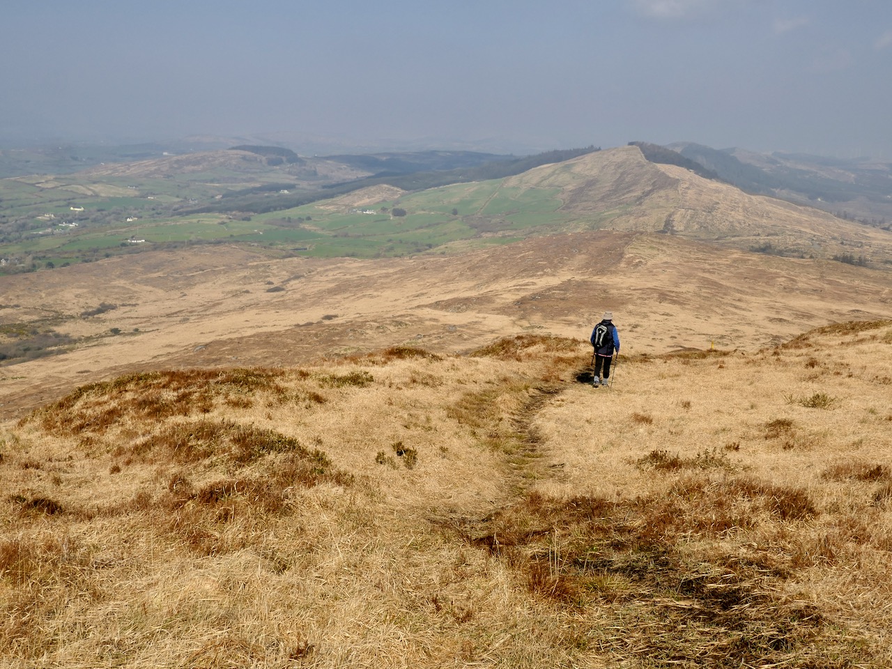
Upper – view from Corrin’s summit across the Sheeps Head Peninsula. Lower – descending from the peak

It would be wonderful to think that folk tales about ancient burials on the mountain top is a memory carried down through countless generations. Clearly this Mizen summit holds histories and mysteries. but, regardless of any lore that we might find in our researches, it’s one of the finest walks that you can take in this part of West Cork, with rewarding views over the whole peninsula.

From start to finish the round walk from the eastern access point to Mount Corrin summit and back involves an ascent of 120 metres and a distance of around 6km

Mizen Magic 12: Autumn Colour

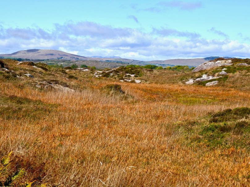
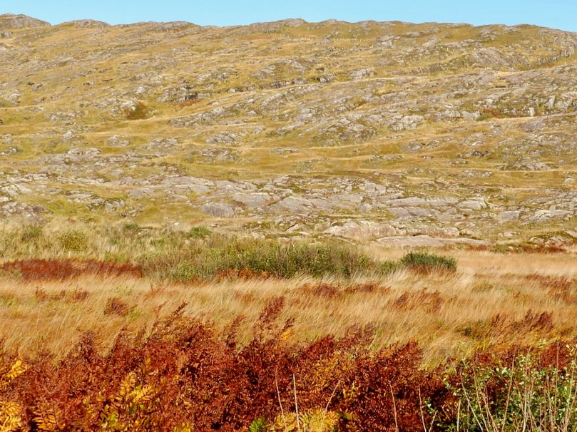
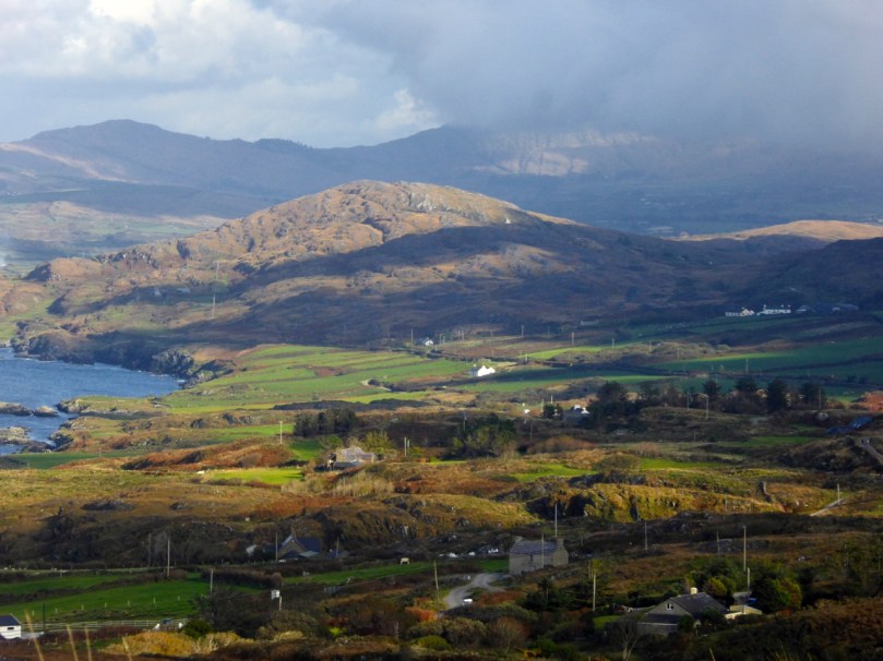
It’s not the trees that lend autumnal hues to the Mizen, as they do elsewhere. It’s the whole landscape – that combination of rock, heather, bracken, moor grass, brambles, filtered through the light and shade of our notoriously changeable climate – that creates the special colour palette we associate with autumn. It’s my favourite time of year.

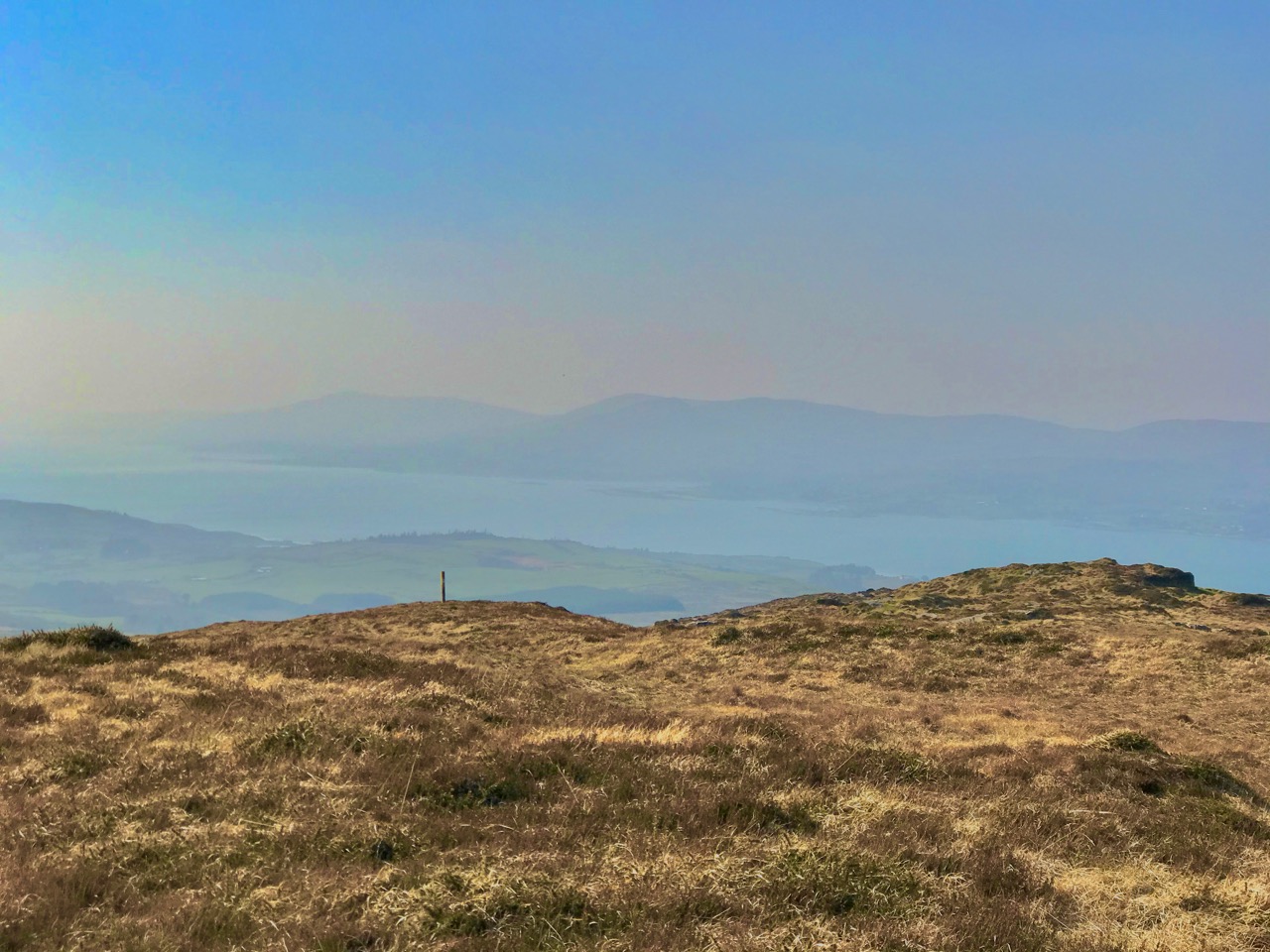
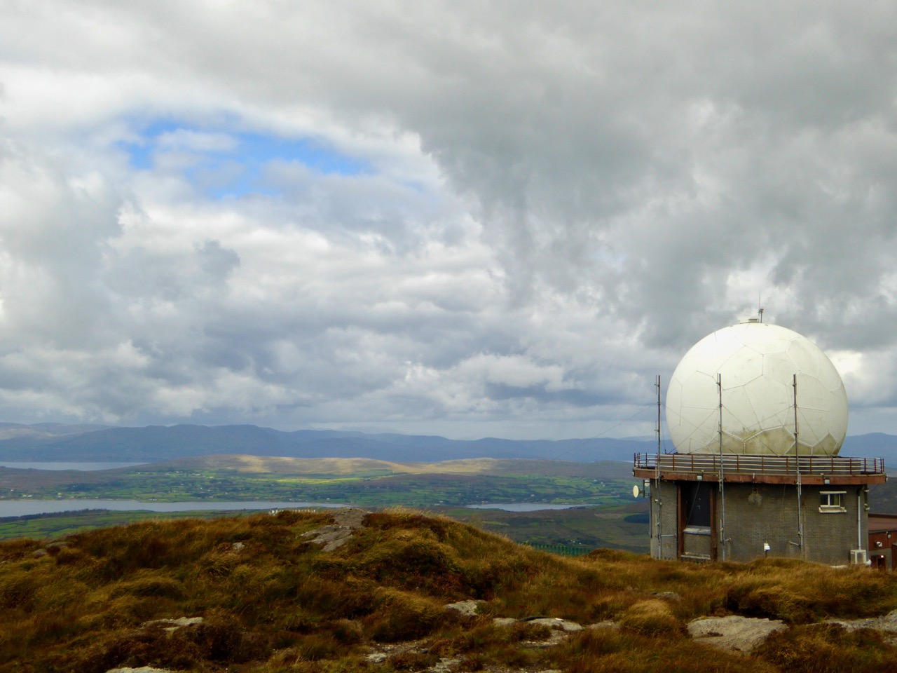
Today, early, we drove up Mount Gabriel and looked over the whole of the Mizen, back to Mount Corrin and Mount Kidd, and across to the Sheep’s Head, the Beara, and away to the mountains of Kerry.

Upper: looking down to Dunmanus Bay from Mount Gabriel; Lower: looking across to Mount Corrin

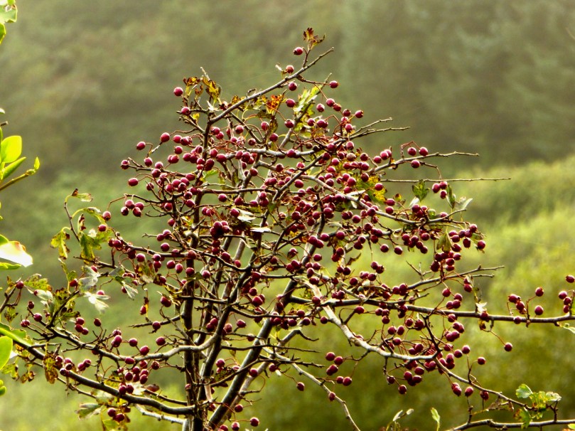
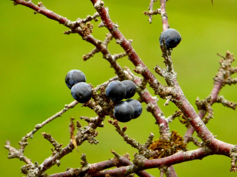
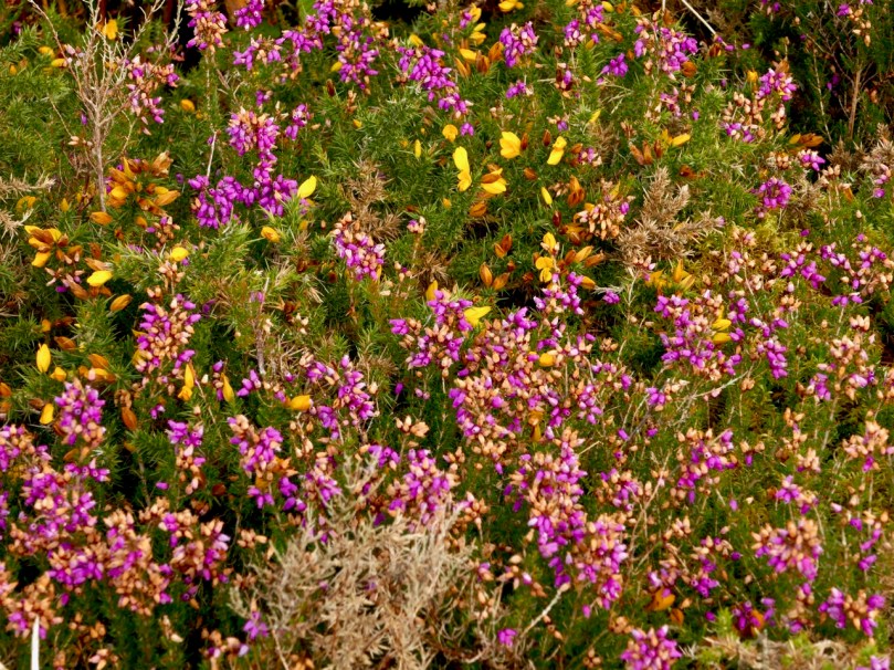
But every day brings changes. What trees we have are not yet bare. The thorns, blackthorn and whitethorn are loaded with berries. The heather is hanging on here and there, providing a wonderful contrast to the yellow gorse.

Haws, Sloes, Heather and Gorse

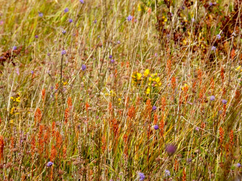
The bog asphodel is fading now, but earlier in the month it had reached its peak orange state and looked spectacular consorting with the other bog and mountain flowers that were still blooming.

Upper: Bog Asphodel, Gorse, Scabious; Lower: Cappaghglass Bog

When you get a clear day, like today, there is nothing on earth like a walk on the West Cork hills, drinking in the colours and trying to store them in the memory. Or perhaps, in a blog!

Upper: Toormore; Lower: Derryconnell 

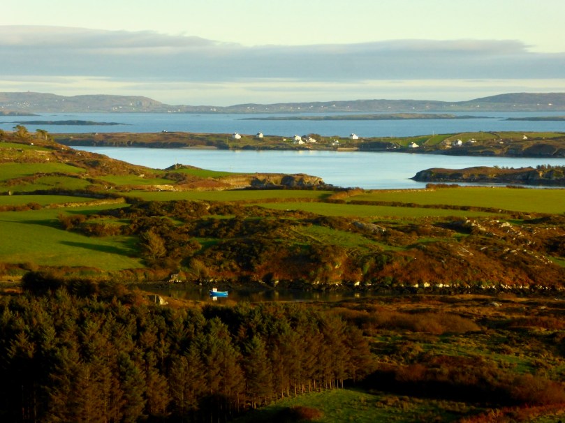
Upper: North Side of the Mizen; Lower: Crough Bay and Long Island

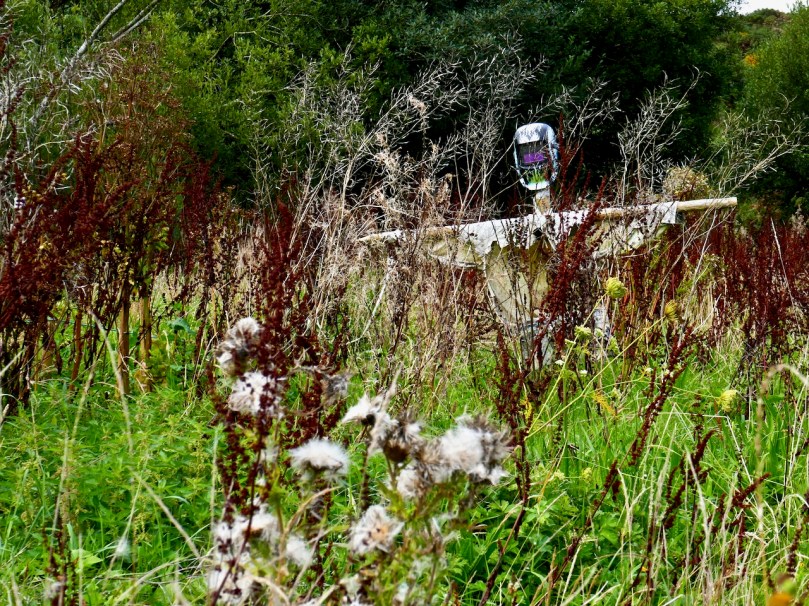
Scarecrow in an abandoned garden – quintessential autumn image!

Rock Island

The Mountain Road

Over three years ago I wrote a piece about the mountain that’s on our doorstep – Mount Gabriel. This rocky high terrain is always in our view as we travel around West Cork, and we feel it must have had special significance in prehistoric times: it overlooks a majority of the archaeological sites that we have explored locally – perhaps they were placed because of that. Also, there are many stories attached to Mount Gabriel (find them in my previous post), including the fact that the Archangel himself touched down on its summit and left behind a footprint in the stone! Evidently, he was intrigued to hear about Ireland’s verdant beauty and knew that …in time to come, this honest island would never part with the worship and duty it owes to the Mother of God… and so was determined to get a look at the holy place.

Derryconnell Loop Walk on the Fastnet Trails takes in the foothills of Mount Gabriel – seen here in contrasting weather conditions, but only a day apart!

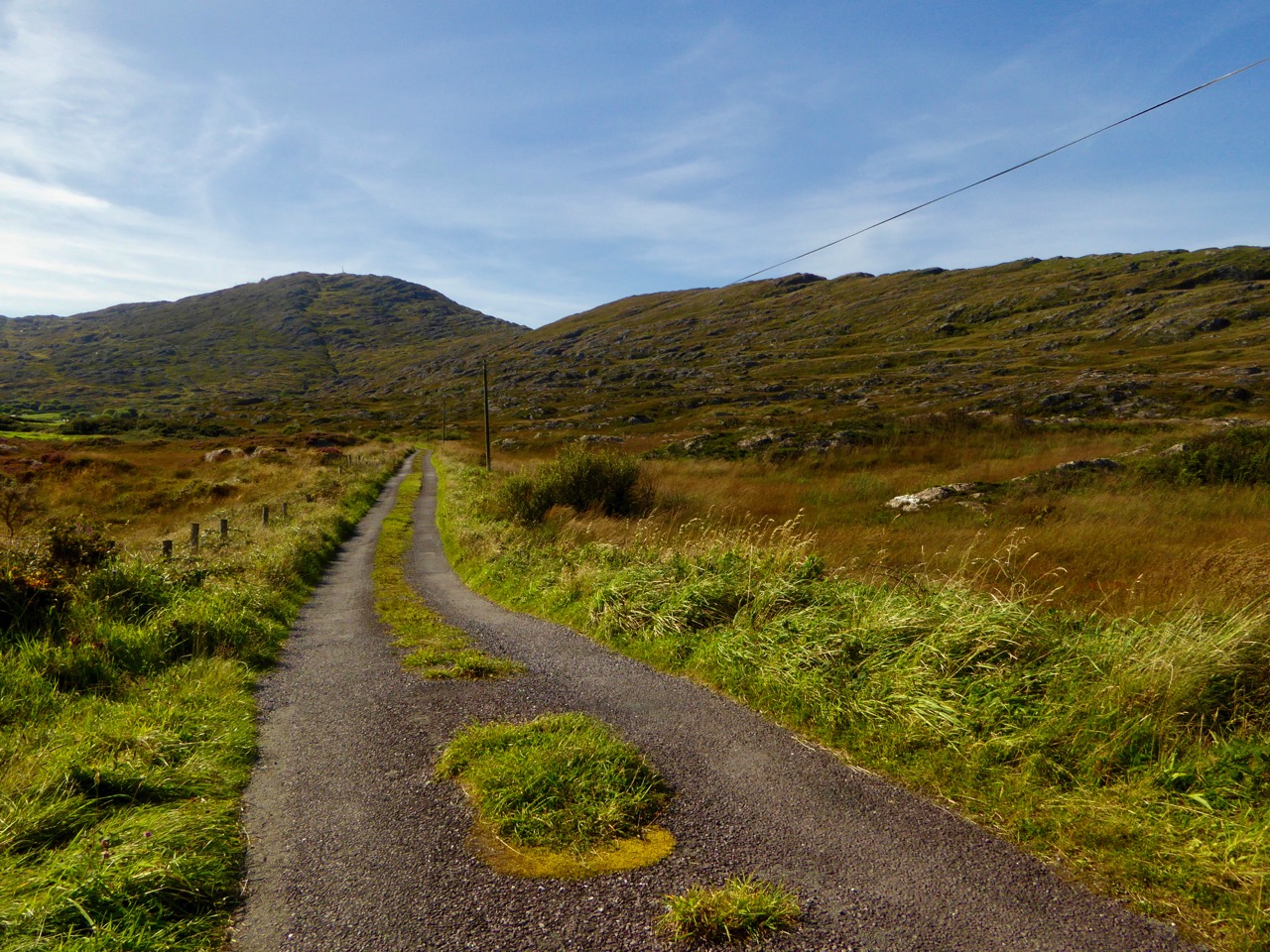
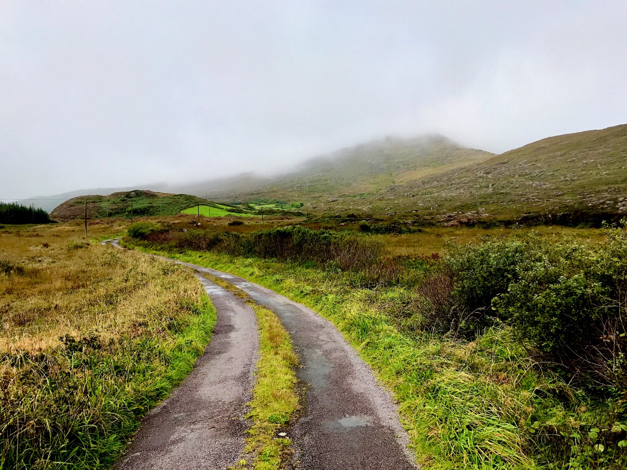
There is a little-known road which runs along the foothills of the mountain which, on a good day, is as beautiful a road as you will find anywhere in Ireland. It begins at the bog of Derreennatra (more of which can be found in Finola’s post today) and you can follow it up and through the Barnacleeve Gap. If you wish, from there you can go all the way up to the summit and get some of the most stunning views all the way over the Mizen, across the Sheep’s Head and even into Kerry.

The climb to the summit of Mount Gabriel is always rewarding, with panoramic views to all points of the compass. Lower Picture: the Air Traffic Control Authority’s installations atop the mountain add an odd drama to the landscape

Part of our Mountain Road has been incorporated in the Derryconnell Loop Walk, one of the new group of the Fastnet Trails based around Schull. The whole of this loop walk is varied and picturesque, but the section from the bog is outstanding as it skirts the mountain – which always dominates the vista – and brings you to the junction with the Barnacleeve road. Keep on going, and take in the mountain itself, or follow the trail down to the old Schull Workhouse. Whichever way you go, you will be struck by the seeming remoteness of the boreens, and you will seldom encounter a vehicle.

In all weathers the Mountain is engaging: you can start out in the mist and finish up in sunshine!

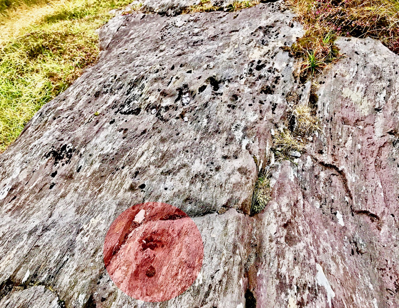
In the latter part of this summer we have explored the road in all weathers, and recorded the many moods of the mountain. Reaching the summit last week, we had a search for the Archangel’s footprint. I’m convinced we found it, but we couldn’t see the lake with its magical islands which – according to the legends ‘…float about up and down, east and north and south; but every Lady-day they come floating to the western point, and there they lie fixed under the crag that holds the track of the Angel’s foot…’ (John Abraham Jagoe, Vicar of Cape Clear – Church of Ireland Magazine 1826)

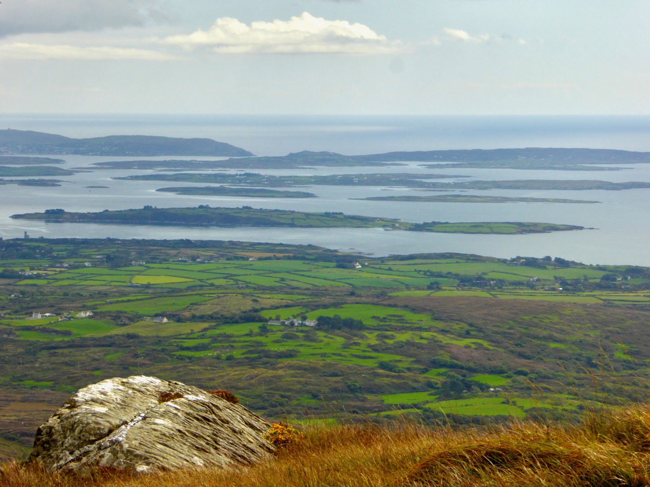
The peak of Mount Gabriel is strewn with rocks, any of which might contain the Archangel’s footprint. Upper – the view to the islands of Roaringwater Bay. Lower – could this be where he touched down? A definitely footprint shaped impression on this rock – highlighted on the photo in red

In my younger days I was fortunate to hear traditional Irish musicians Margaret Barry and Michael Gorman performing on the streets of Camden Town, London, when I worked in that city. Those streets were a far cry from the home I now have in West Cork, but I recall the duo’s rendering of the tune The Mountain Road: Margaret came from Cork herself, so perhaps our own mountain (or maybe it was Gabriel?) was an inspiration to her.

Descending from the summit, we finished our walk on the Mountain Road at the gauntly atmospheric ruins of Schull Workhouse

The Old Mine Road

to the castle

Exactly two years ago I wrote a piece for this Journal – A Moment in Time – remarking on the very specific changes that we become aware of at the end of the summer: the holiday homes being closed up and shuttered; the boats being taken off their moorings and stored away in the boatyard; the shorebirds returning to their winter quarters. I finished up by pointing out that our own summers never end: we enjoy living in Cappaghglass just as much in the darker, colder days at the turning of the year as we do when the sun is high in the heavens.

cove gray day

high road gray day

Top – starting point: Rossbrin Cove on a gray day. Bottom – The Old Mine Road wearing its raincoat

It is an idyllic life and we are privileged to have the quiet boreens to ourselves in all weathers. We have talked about Rossbrin Cove so often, in its many seasonal variations: for today’s post I’m taking the upward road through the townland, the route that I call The Old Mine Road. This road – or more accurately this series of lanes and byways – will take the traveller from the Cove into the little town of Ballydehob, and will pass through an old copper mining district which, two hundred years ago, saw heavy industry, intermittent employment, smoke, noise, pollution and desperate human working conditions where now ‘peace comes dropping slow’ with only the crying of the Choughs over an undisturbed backdrop of rock, heather and coarse grasses – and the occasional jumble of stones showing where there were once buildings, shafts and crumbling walls marking the old mine complex.

cappaghglass

captain's house sun

Top – the landscape of The Old Mine Road: Mount Gabriel dominates the horizon to the west. Bottom – looking from the road towards Roaringwater Bay: in the foreground is the site of old mine workings, now reclaimed by nature, with one of the two Mine Captain’s Houses in the centre and the stump of an old mine chimney on the right

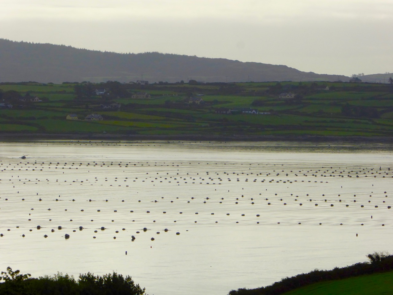
A walk along The Old Mine Road on a benign late September day will be rewarding because of the good air, the distant views to the Mounts Gabriel and Kidd, and with the bays of Roaringwater and Ballydehob below. You will find medieval history in the form of towerhouse castles, modern economy delineated by distinctive lines of mussel ropes spilling over the water and always alongside you the immediate wildness of a natural, undisturbed landscape. Views change as the way winds and dips – always interesting, always different, however many times you follow these routes.

mussel ropes

waving grass

mine buildings

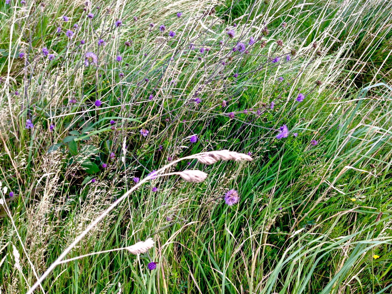
Top – mussel ropes abundant in the Bay. Middle -waves of grass in the wild landscape to the north of the road. Bottom – ruins of old mine buildings can still be seen from the road

Autumn brings with it a certain melancholy. Time passes, our lives move relentlessly forward. We enjoy the changing of the seasons but we want to know that there will be so many more seasons to see. Each one will bring us unique experiences.

blue in the grass

from the road

Top – wildflowers in abundance on the boreens of Cappaghglass. Bottom – signs of old workings in the fields below the road

As I walk the old road, I can’t help trying to picture the scenes there from other times. I wonder what feelings the hard working miners had – did they take in the changing light and the views? Did they see the way the grasses moved with the wind, creating waves on the landscape? Did they have any time to notice nature’s fine details – the incredible variety, colours and designs of the wild flowers? Or was theirs just a drudging commute from cottage to workplace at dawn and dusk?

ballydehob wharf

The end of the road: Ballydehob Wharf, which would have seen great activity (intermittedly) when the mines were in full swing. Cappagh Mine was operating between 1816 and 1873, with its maximum output of about 400 tons of ore being produced in 1827

The poet Seamus Heaney has much to say about the hardship – and order – of a physical working life; his own father had worked the land and the poet was infected with memories of his younger days. This poem – Postscript – has a different emphasis but strikes me as a similar commentary on encounters with the landscape, although it’s concerned with another geography:

…And some time make the time to drive out west
Into County Clare, along the Flaggy Shore,
In September or October, when the wind
And the light are working off each other
So that the ocean on one side is wild
With foam and glitter, and inland among stones
The surface of a slate-grey lake is lit
By the earthed lightning of a flock of swans,
Their feathers roughed and ruffling, white on white,
Their fully-grown headstrong-looking heads
Tucked or cresting or busy underwater.
Useless to think you’ll park or capture it
More thoroughly. You are neither here nor there,
A hurry through which known and strange things pass
As big soft buffetings come at the car sideways
And catch the heart off guard and blow it open…
wall and heather

Mount Corrin Walk

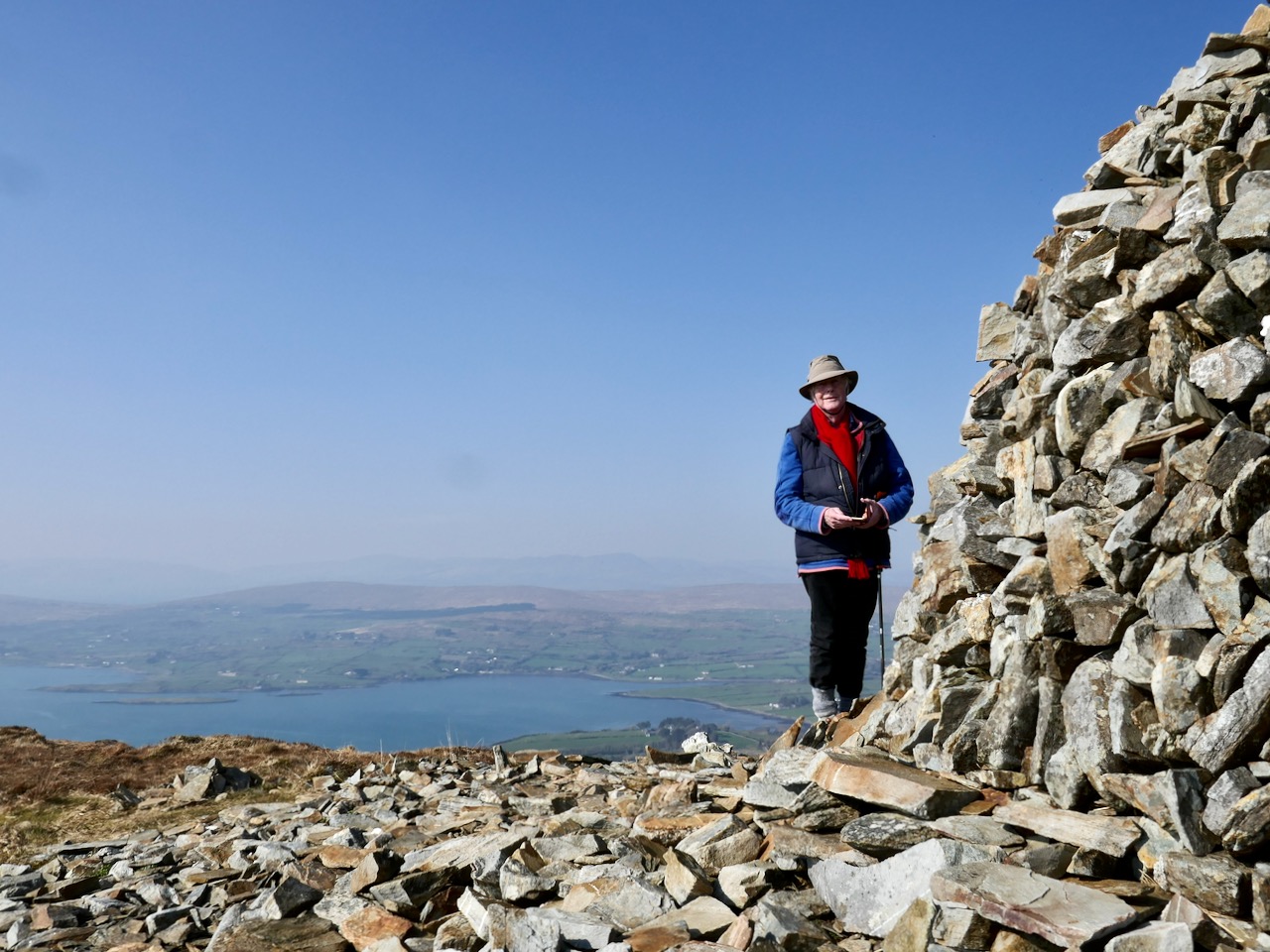
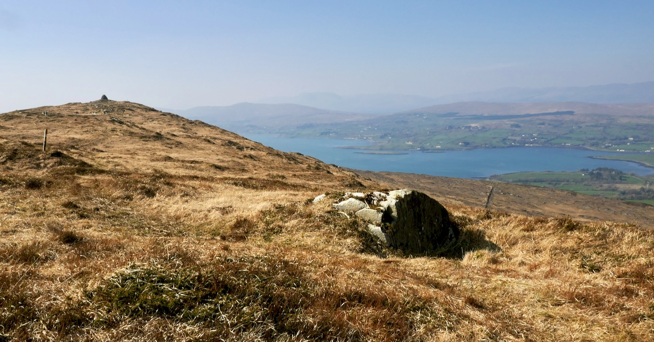
View from the cairn, Mount Corrin

View from the cairn, Mount Corrin

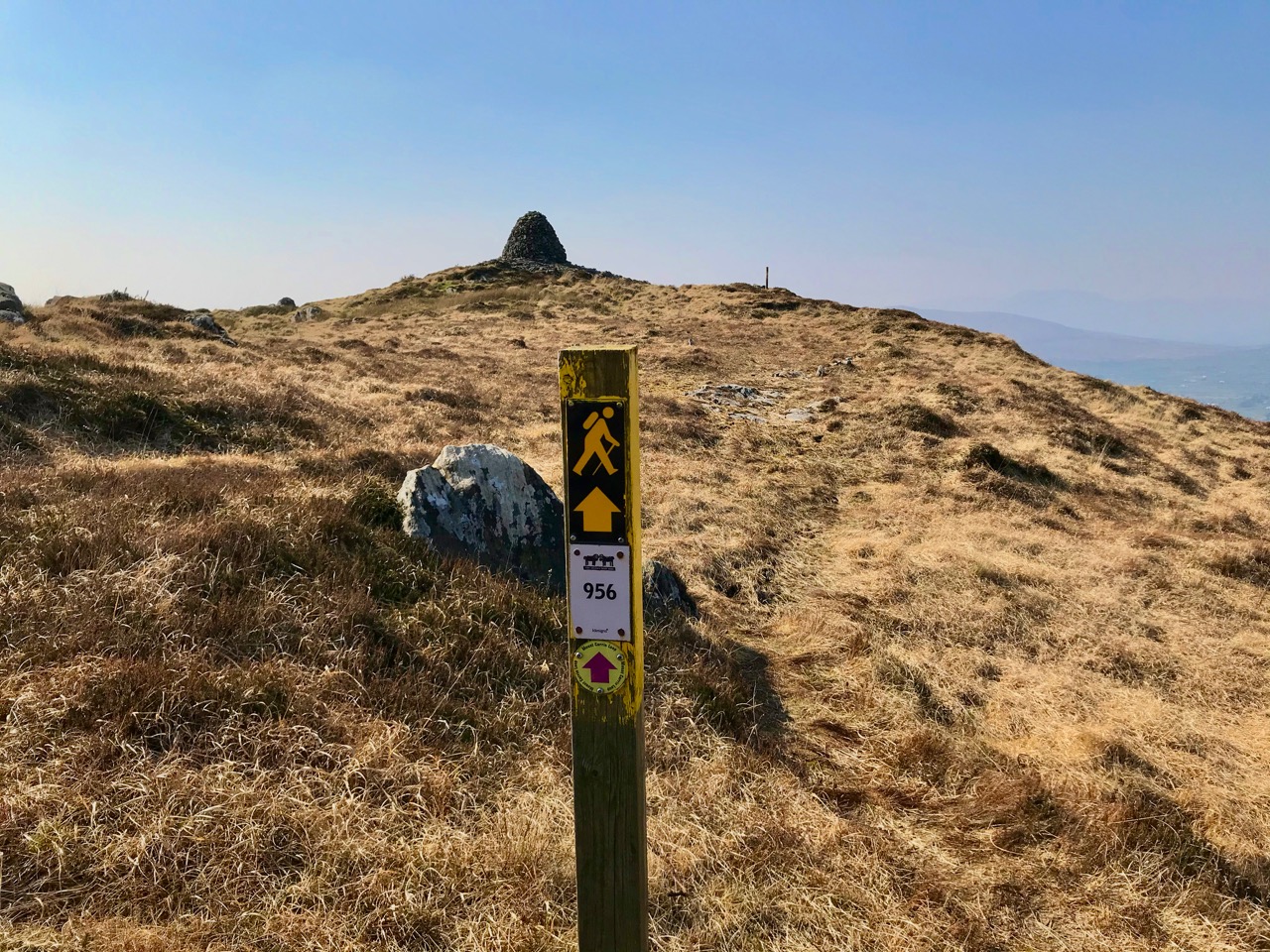
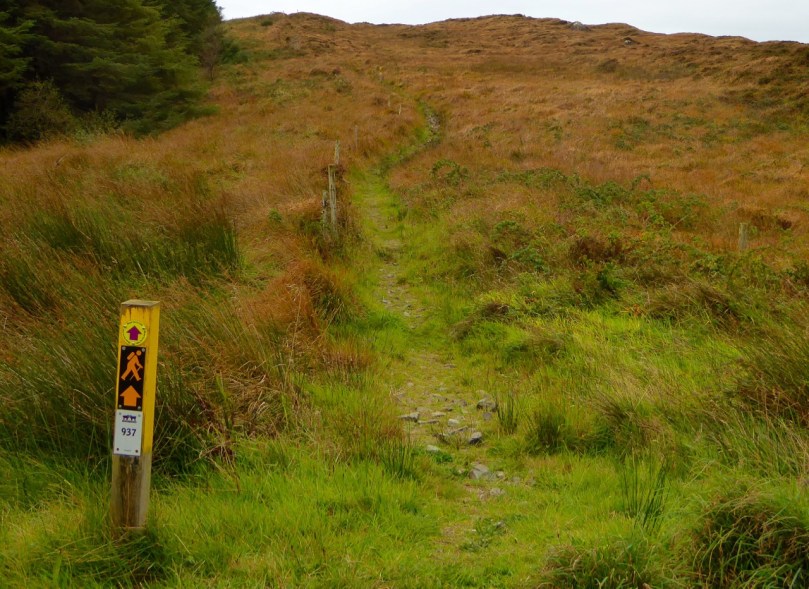
Walks that get you up to high places with panoramic views are terrific – especially when you don’t have to start at sea level! One such West Cork walk is Mount Corrin. Despite being on The Mizen, it’s part of the Sheep’s Head Walks system, which means it’s accessible and perfectly waymarked.

P1150782

The whole Mount Corrin loop walk is a 17km marathon and definitely not for the faint-hearted. But faint-hearted is exactly what we are, so we have chosen an option that can be easily accomplished on a pleasant afternoon – about a 5 km round trip. Some of these photographs are from a spring walk, and some from a fine autumn day.

From the trail - the Sheep's Head

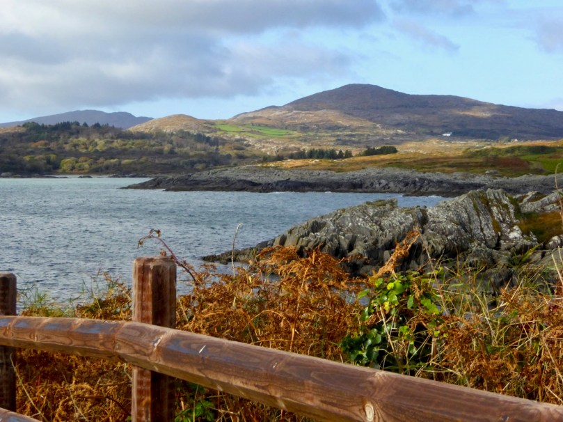
From the trail – looking across at the Sheep’s Head

Wear good boots and bring a camera but leave the dog at home as no dogs are allowed on the Sheep’s Head Way. And if you do want to do the Big Walk, we highly recommend you pick up a copy of Walking the Sheep’s Head Way by Amanda Clarke. She and Peter have brought out a Second Edition that includes all the loop walks and they do a fabulous job of describing the whole route and provide wonderful photographs of what you can expect.

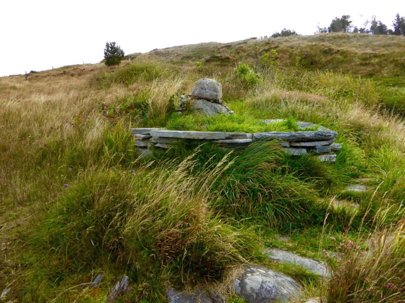
This curious little monument is right beside the parking spot

This curious little monument is right beside the parking spot

Our starting point is at a high point about half way between Durrus and Ballydehob. Drive out of Ballydehob via the road between Antonio’s Restaurant and Vincent Coghlan’s pub – that’s the Rathruane Road. About 3 km along this road you will come to a crossroads – turn right. Take the first turn left on that road and it will bring you up to the top of a hill. Once you cross over the top and start the descent on the other side you will see the waters of Dunmanus Bay ahead and to the left and a pull-out for parking on the right.

One of West Cork's most scenic parking spots

One of West Cork’s most scenic parking spots

This is your starting point – look back and you will see the way marked trail about 50ms back up the hill, running alongside a forestry plantation. It’s also your ending point: our walk will take you up to the summit and back.

P1150787

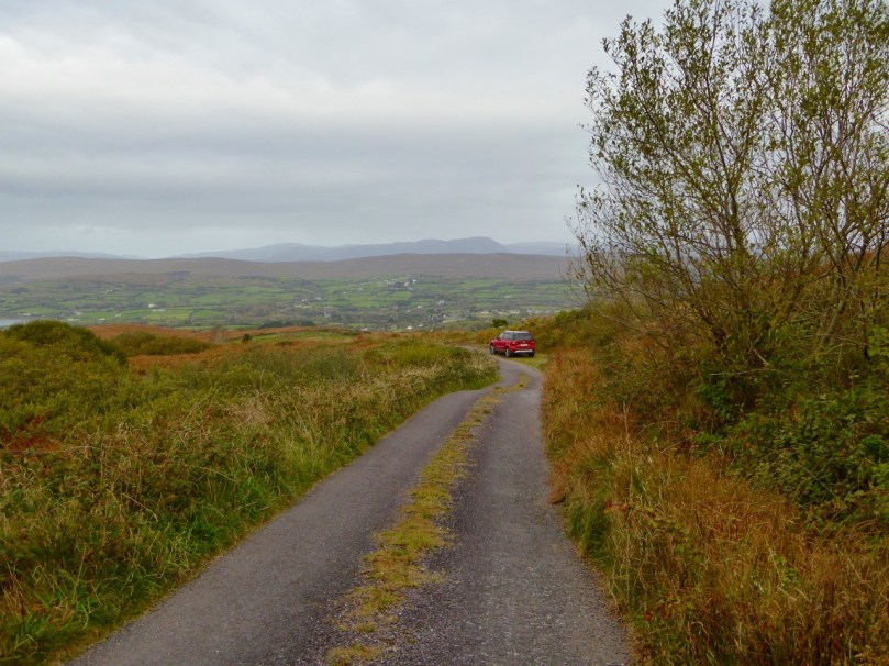
If you’re approaching from Durrus, take the R591 out of the village. Take the first turn left then the first right and follow the road to the summit. These are small country roads – be prepared to pull over or even reverse when you encounter other traffic.

Example of 'other traffic'

Example of ‘other traffic’

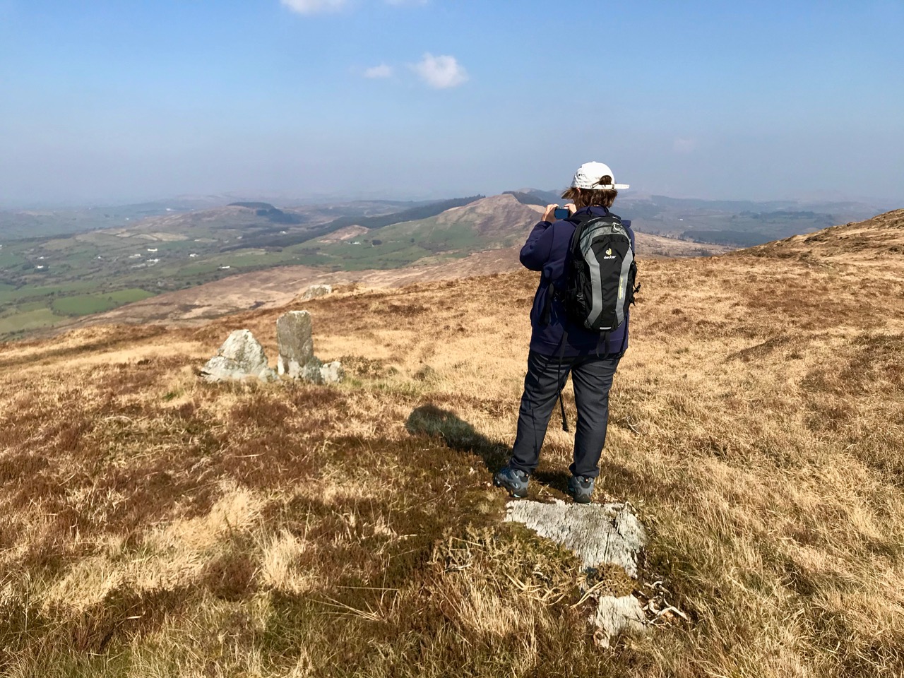
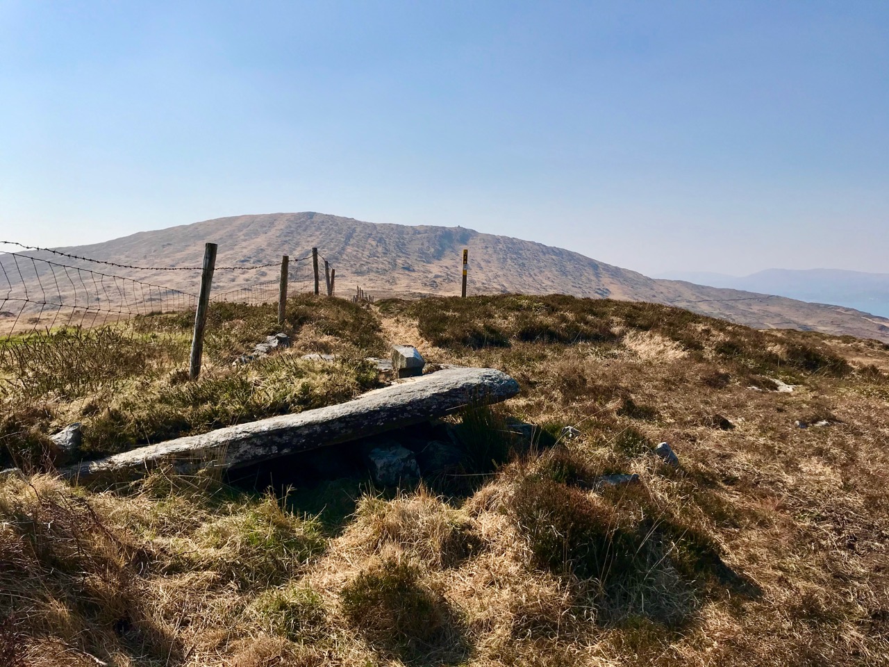
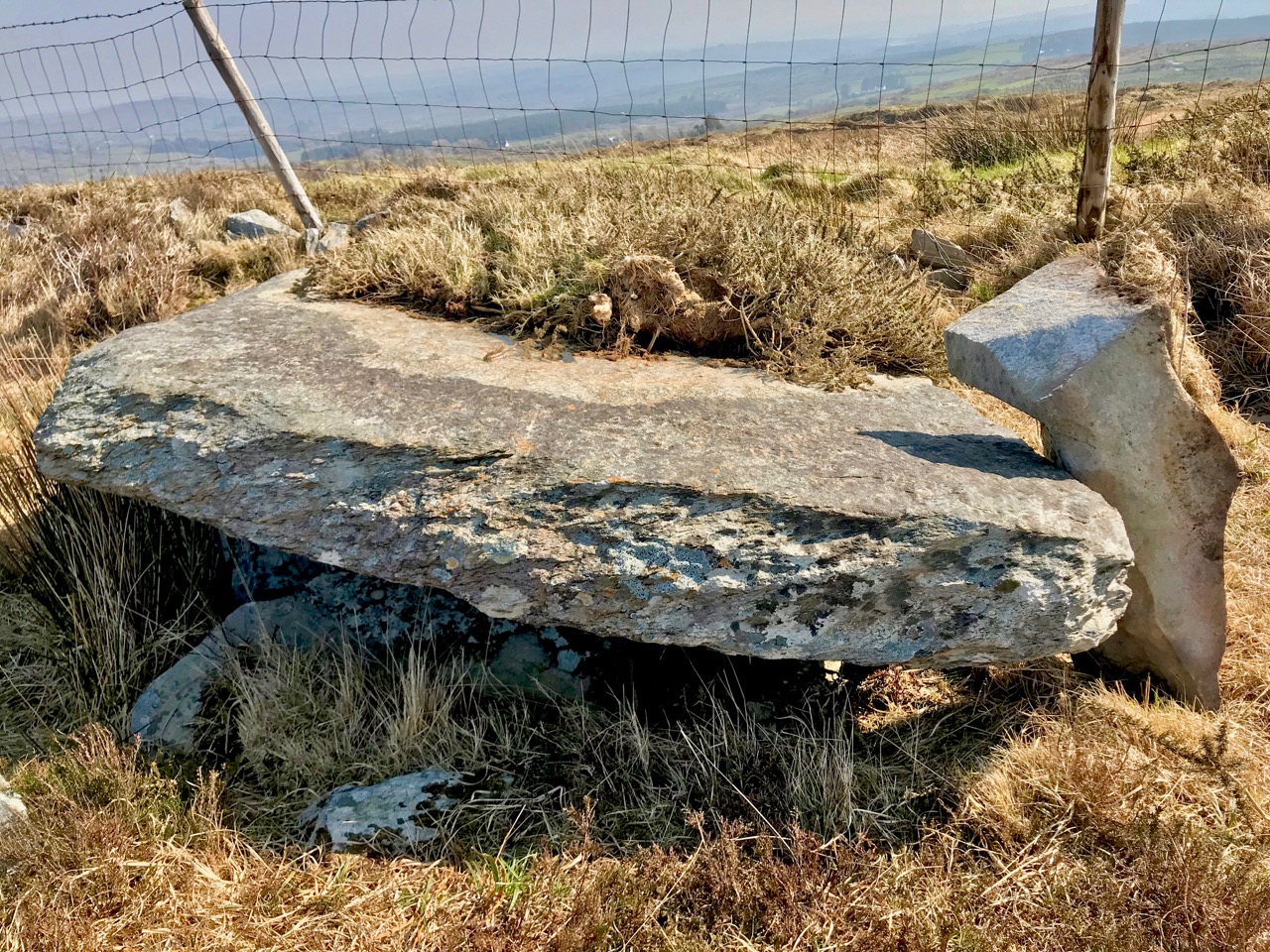
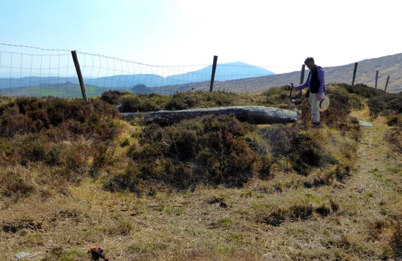
Once you set out, the first point of interest is what is described in the National Monuments inventory as a ‘megalithic structure’ and which looks likely to be a wedge tomb, although it is hard to be definitive about it. Whatever it is, it’s man made and intriguing.

A wedge tomb?

A wedge tomb?

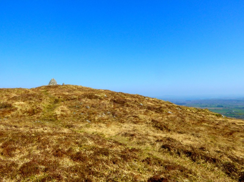
You can see the cairn ahead – your destination.

P1040223

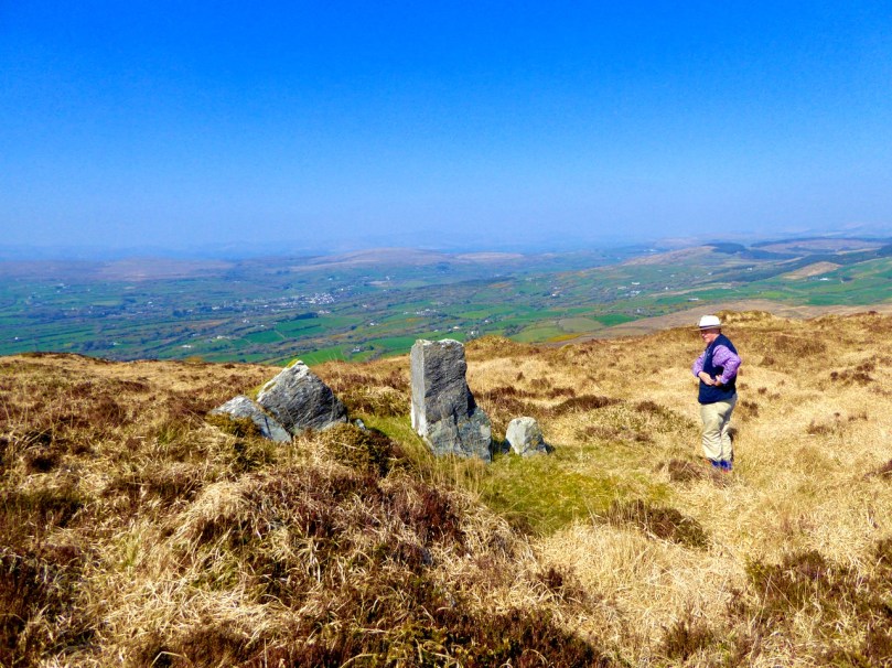
Before you get to it there is a row of standing stones. These ones are not marked on the NM inventory but it’s difficult to see what they could be other than a stone alignment. A final push now gets you to the cairn and to those panoramic views we mentioned.

P1040203

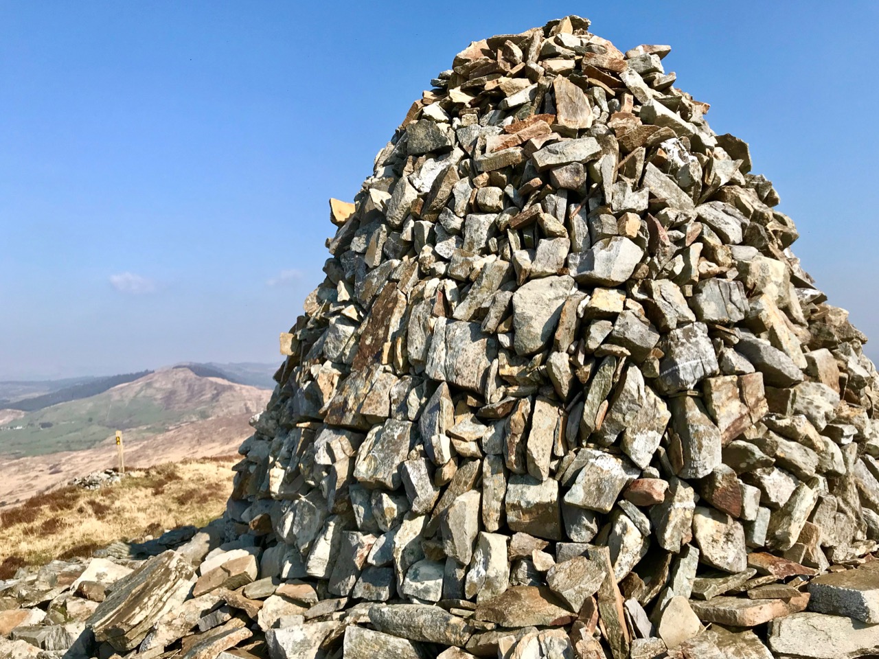
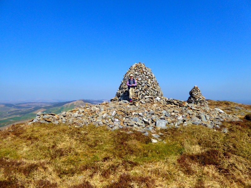
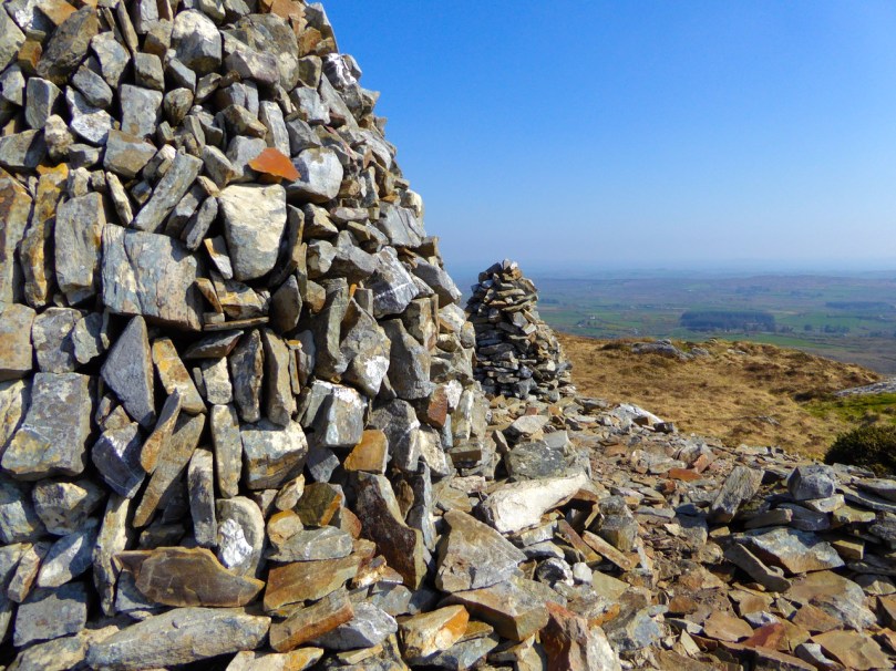
The first thing you’ll notice about the cairns (there are two of them) is the size of the large one and the scatter of stones all around them. The consensus seems to be that there has been a cairn on Mount Corrin since ancient times and that the current cairn, a more modern construction, sits on top of an older one.

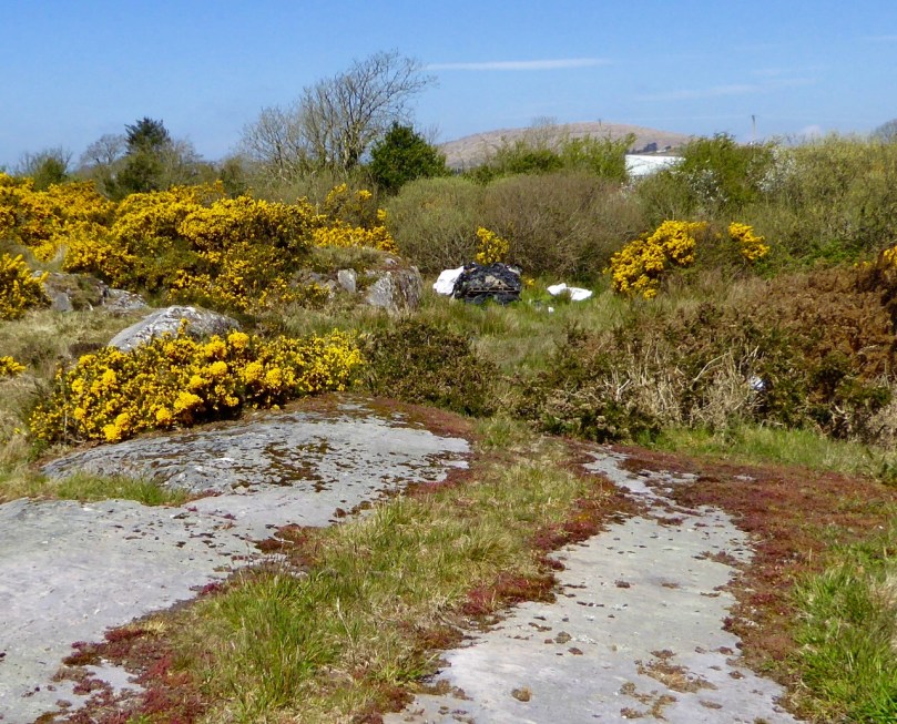
The cairn on Mount Corrin is visible from this panel of rock art at Rathruane

The cairn on Mount Corrin is visible from this panel of rock art at Rathruane

We have certainly noted that the top of Mount Corrin, like the top of Mount Gabriel, is visible from several prehistoric sites and a cairn would have enhanced that visibility. The most persistent story about the cairn, though, links it to Lord Bandon.

P1040210

The Bernards, Earls of Bandon, are associated with Durrus, having laid out the town in the eighteenth century and having used Durrus Court as a summer residence. They had many interests in the area, including mining, and the always-interesting Durrus History blog gives us this information about Mount Corrin:

Mary Catherine Henrietta Bernard of Castle Bernard daughter of Lord Bandon married Colonel Aldworth on the 30th July 1863 and an address and copy of ‘God’s Holy Word’ was sent by Rev Freke and the tenantry of Durrus to which she returned thanks.  At Dreenlomane Mine (operating until c1920) owned by Lord Bandon, Captain Thomas set tar barrels alight on Mount Corrin which illuminated the sky all night and the 150 miners and their wives were treated to refreshments and similar celebrations were held in Carrigbui.

P1040197

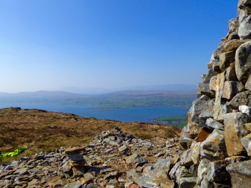
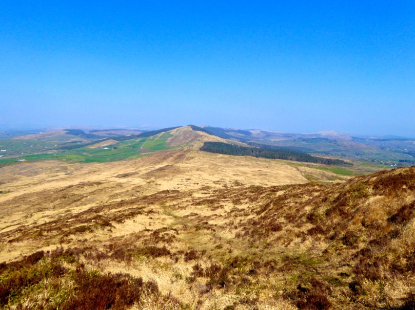
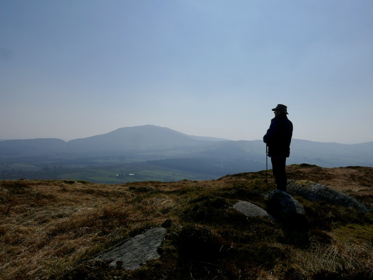
The views from the cairn are stupendous, taking in the West Cork Peninsulas and the hinterland across to the Kerry mountains. Take a while to wander around the top – see if you can spot the collapsed walls of ancient hut sites.

P1040217

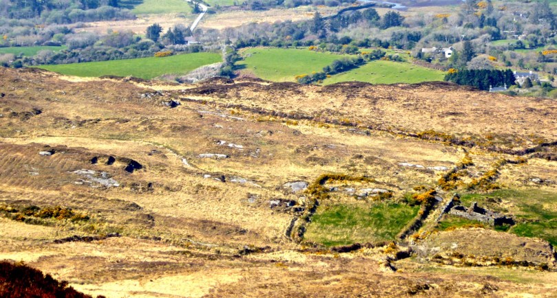
Making your way back, look down towards the farms on the northern slope of the mountain. You can still make out the unmistakeable signs of lazy beds, used to grow potatoes, and the ruins of houses abandoned long ago. It’s a poignant reminder that this land was once densely populated by people whose sole nutrition came from potatoes and who fled this area in the aftermath of the Great Famine.

P1040194 - Version 2

There now – that wasn’t gruelling at all, was it? And so rewarding. But still, a bit of effort required so you definitely deserve a coffee and cake at Budd’s, or a pint in Rosie’s. Tell them Roaringwater Journal sent you.

P1040200