The Stone Circles of West Cork: Five-Stone Circles

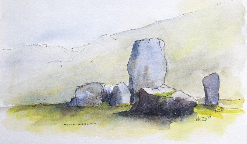
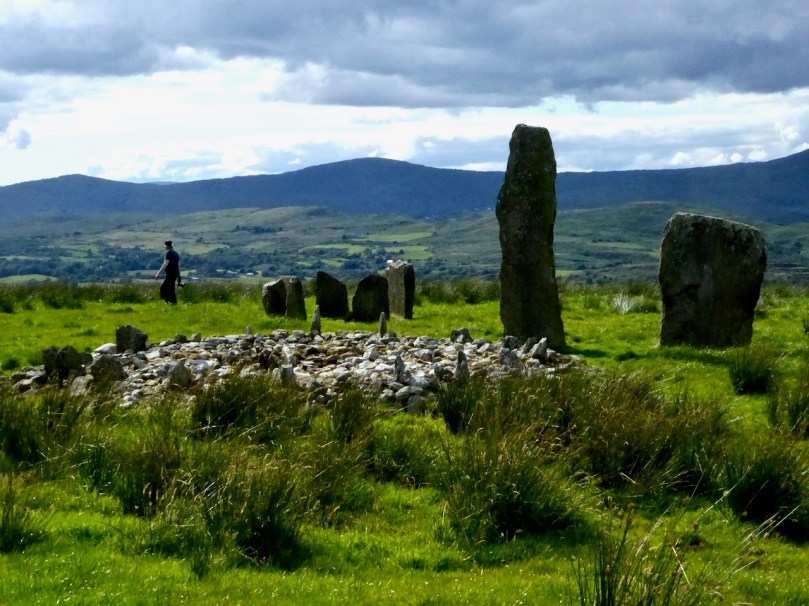
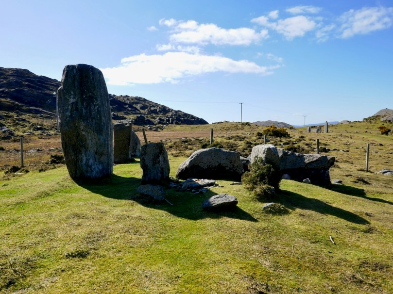
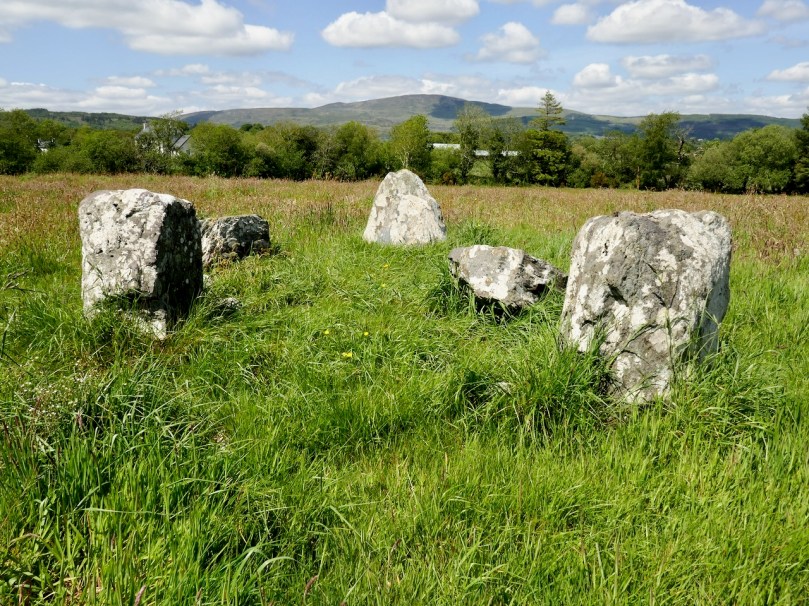
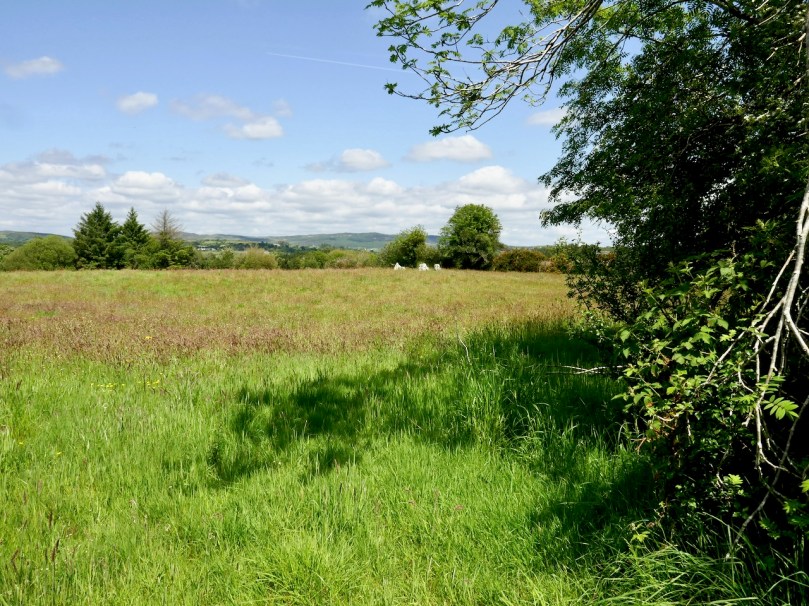
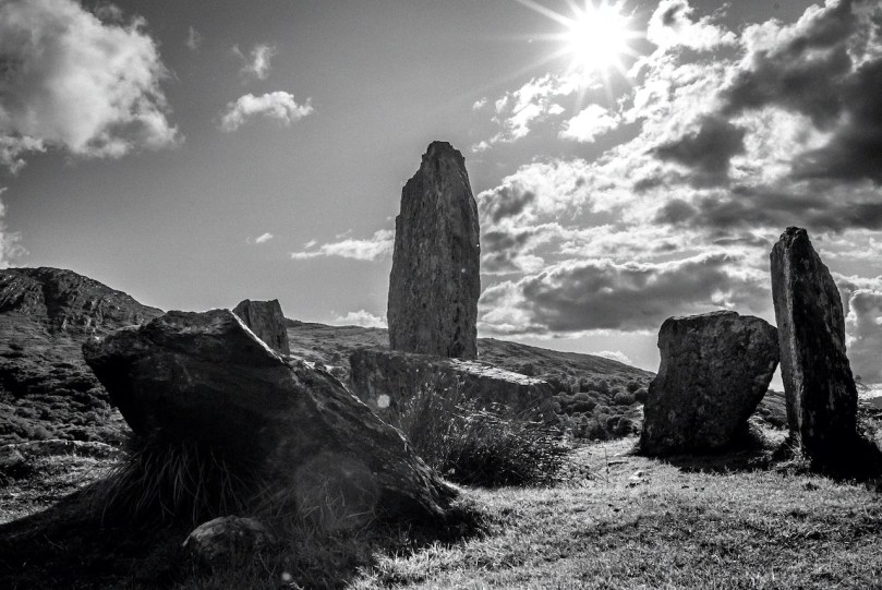
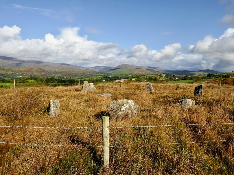
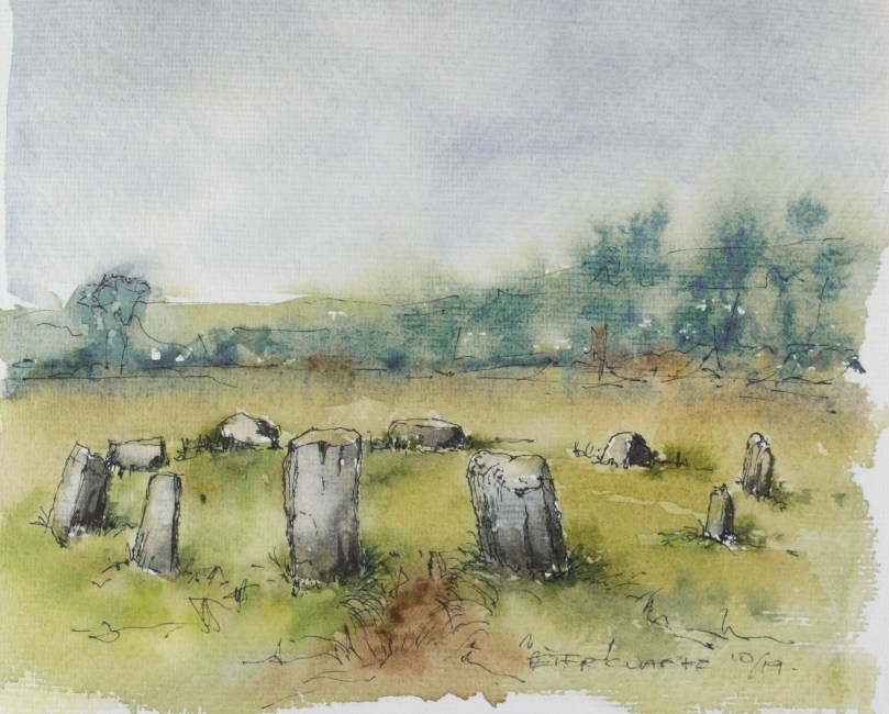
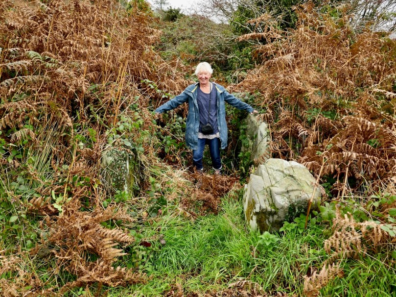
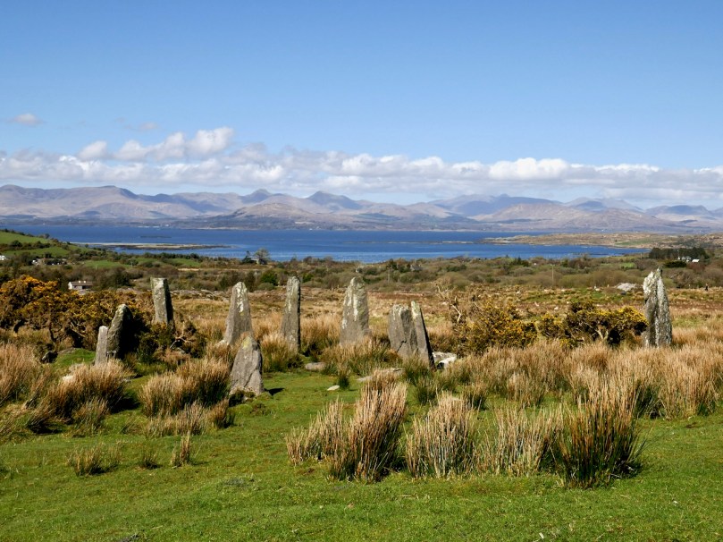
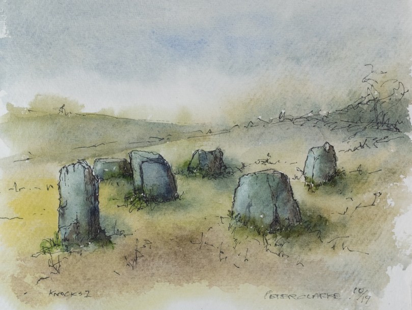
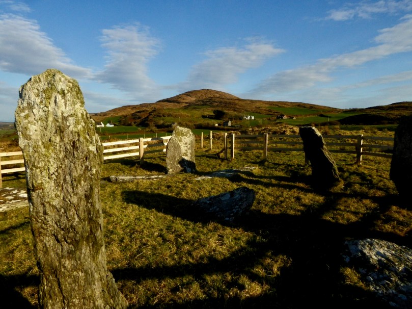
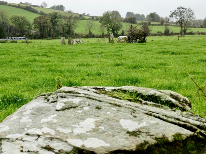
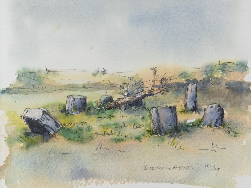
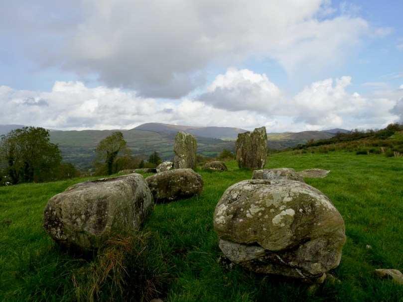
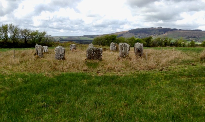
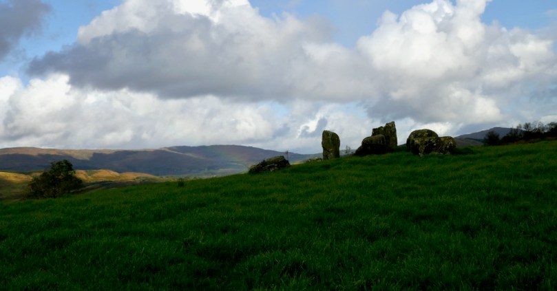
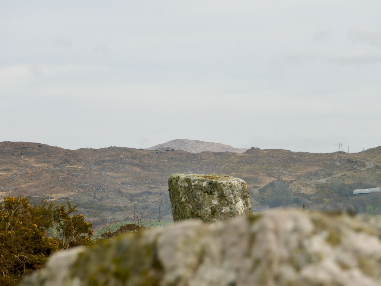
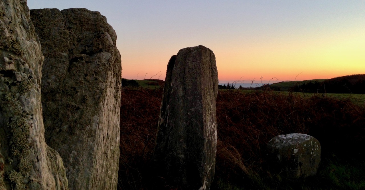
About half of the stone circles in the Cork-Kerry complex consist of only five stones, and constitute a sub-group know as Five-stone Circles. While they share many similarities with the Multiple-stone Circles, they are a unique class of monument. I’ve described the Multiples in detail here, so if you need to refresh your memory about that group, you can do it now and then come back and read on. While most of the photographs in this post are my own, I gratefully acknowledge the generosity of Ej Carr in allowing me to use two images (above and the last one in the post) of the Uragh Five-stone Circle and Standing Stone and of Peter Clarke for his drawing of the circle at Cashelkeelty (below).

Most strikingly, the Five-stone Circles follow the pattern of the larger ones in having two portal stones, usually the tallest orthostat of the circle, across from a recumbent, or axial stone which is usually the shortest. In describing them here, I am following the work of Seán Ó Núalláin, who surveyed and described all the Cork-Kerry Stone Circles in 1975. While his comprehensive paper is  45 years old, it is still the most complete work on the Stone Circles of Cork and Kerry (The Journal of the Royal Society of Antiquaries of Ireland, Vol. 105 (1975), pp. 83-131). 

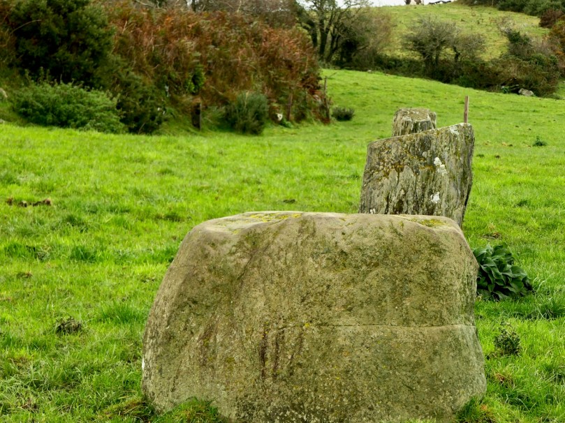
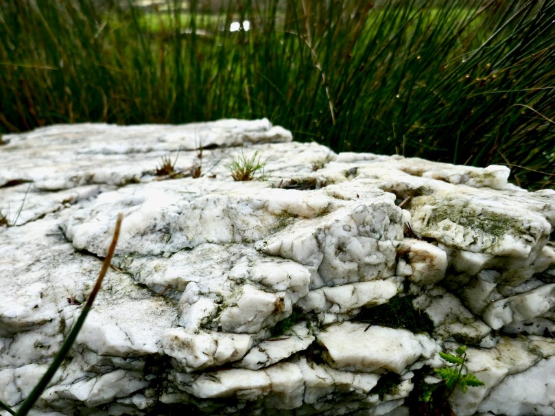
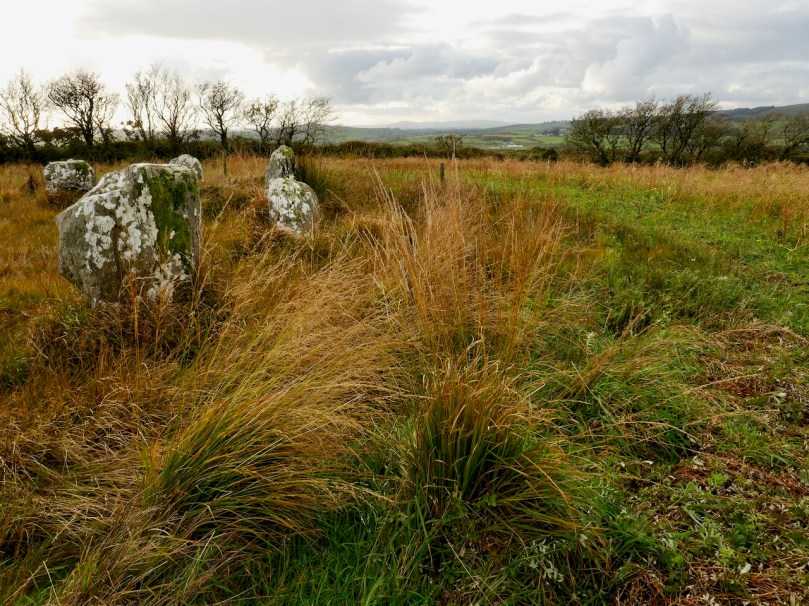
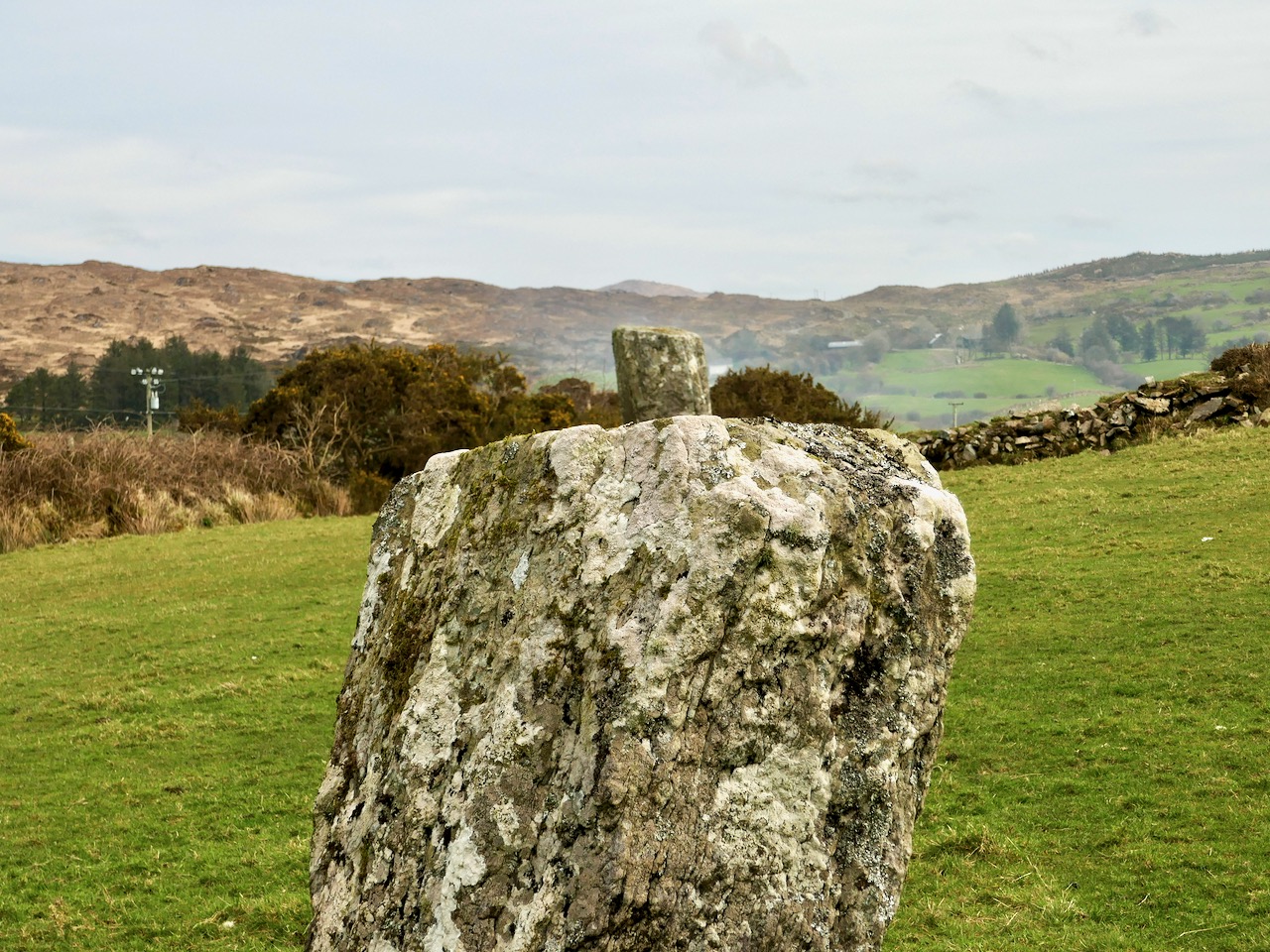
Lettergorman, with its large block of sparkling quartz

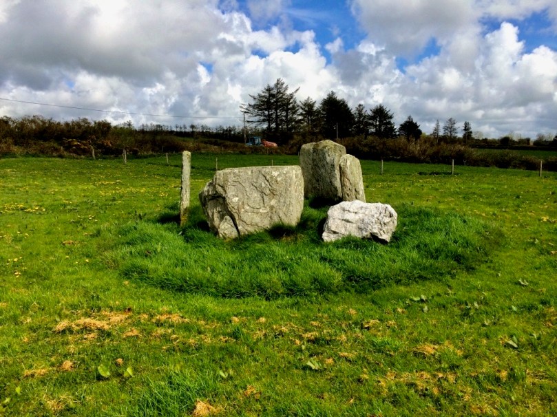
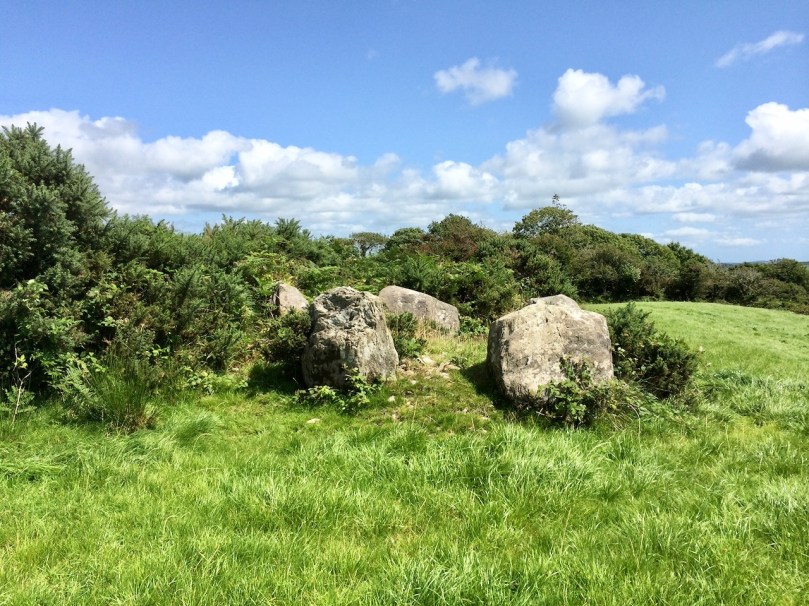
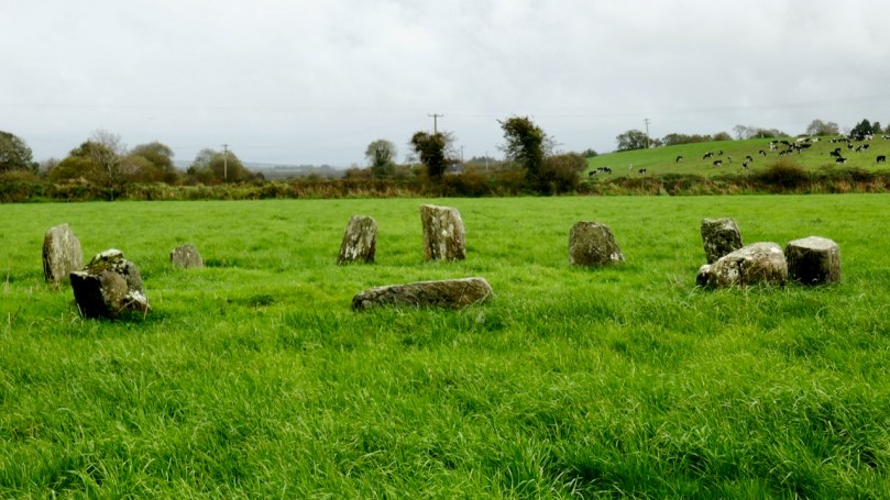
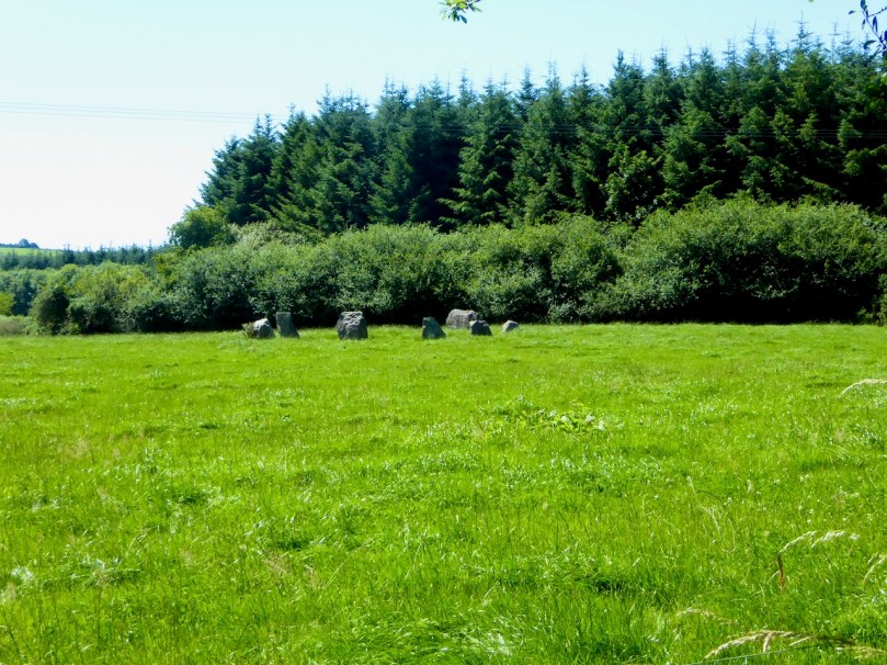
Most of the Five-stone Circles I have seen now are complete or almost complete, although some of the orthostats have fallen. They are actually in remarkably good condition – perhaps their small size has offered them some protection against the need to ‘improve’ farmland. some have been filled in with field stones but most are simply marooned in little islands of grass in the middle of a field, occasionally with a protective fence to keep cattle away.

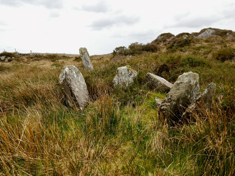
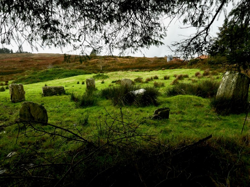
Glanbrack, at the top of a small hill with views to all sides. This is one of the ones that Ó Núalláin thinks may have only ever had three stones. Note the two outliers

Two of the Five-stone Circles may in fact, according to Ó Núalláin, be actually Three-stone – it is assumed that both Cashelkeelty and Glanbrack had two more stones originally, but he muses that a setting of three stones could be seen as representing the ultimate degeneration of the “circle” concept.

This is Clodagh Five-stone Circle, also with two outliers immediately outside the circle. There is another standing stone pair nearby

Neither are they truly circular – in fact they are mostly D-shaped, with the axial stone being the straight edge of the D. This is a function of their size – the axial stone, with its straight edge, represents a much bigger proportion of the circle that it would in a large Multiple-stone Circle, but it also brings up the issue of whether the circle shape is truly essential to the functions of this type of monument.

Hard to make out exactly what’s what at Inchybegga Five-stone Circle, since the stones are small and the circle is disturbed and filled with field stones

The axis of the Five-stone Circles, that is, the direction of a line drawn between the portal stones across the recumbent, is generally NE/SW. This orientation is not exact, but most fall within a few degrees of it. Ó Núalláin agrees with Aubrey Burl in his analysis of the Scottish circles (and our own observations at the circles confirm this) when he says

Thus the circles are so aligned that the entrances face the side of the heavens on which the sun rises and the axial stones face the setting sun. The broad splay present, 107 degrees, suggests that a general alignment on the side of the heavens on which the sun rises or sets was what was required, and that precise alignments on specific celestial events were not in question. It is worth noting however that the axial stones tend to group in a sector indicating a winter rather than a summer position.


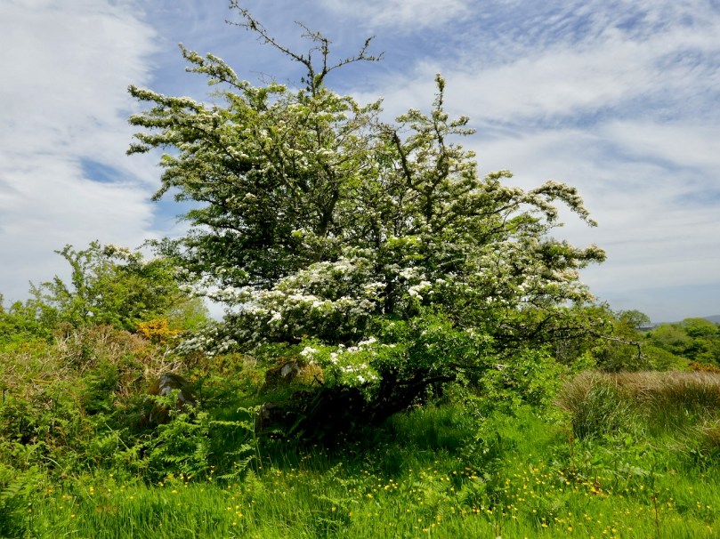
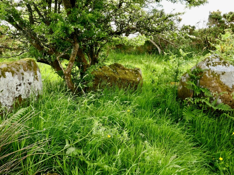
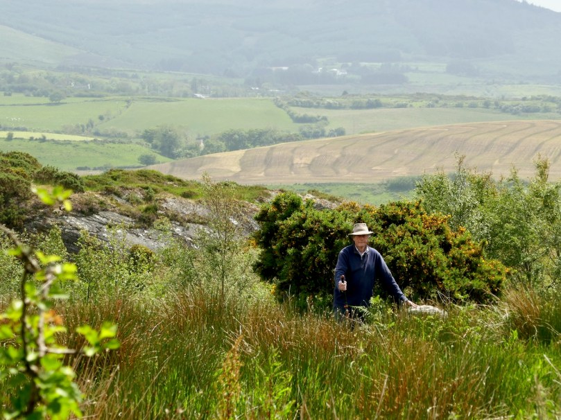
This intriguing site is Derryarkane Five-stone Circle. It is dominated by a Whitethorn Tree, traditionally never cut or interfered with. Under the tree the circle is complete although one of the portals has fallen. Robert is standing at an outlier about 35 metres away

As with the Multiple-stone Circles, there are peripheral monuments associated with Five-stone Circles – standing stones, stone pairs, stone alignments, quartz blocks, radial cairns, and in once case (Mill Little) boulder burials. None of these are inside the circle so are referred to as outliers.

One of the most complex of the Five-stone Circle sites is Kealkill (above), which includes two large standing stones (one of them is truly enormous) and a radial stone cairn.

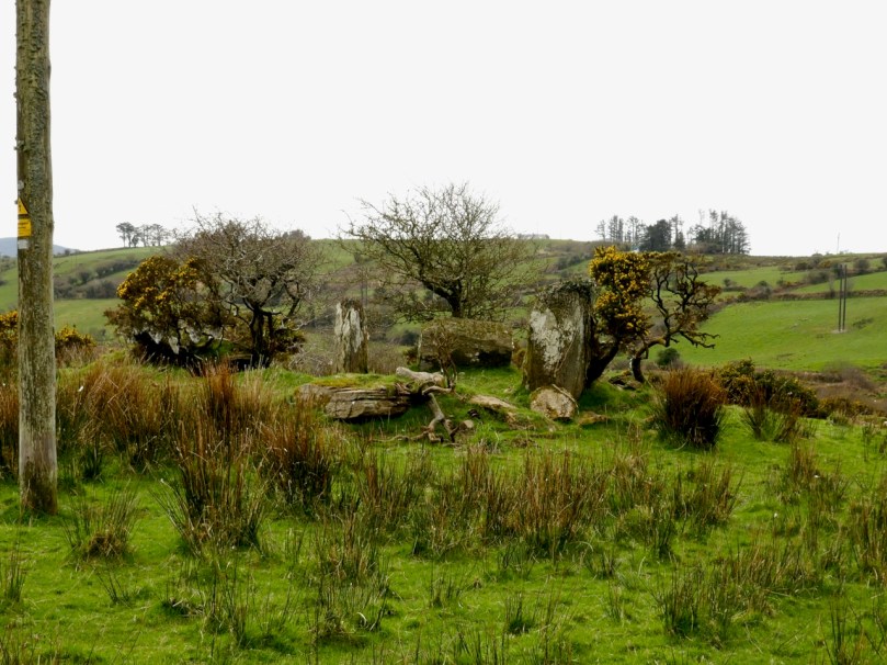
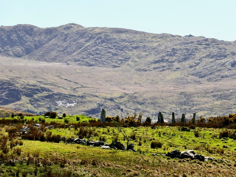
Another complicated site is Cashelkeelty. Here (above) we see the Five-Stone Circle (although it may be the second of Ó Núalláin’s Three-stone Circles), a row of three stones to the left, and in the distance orthostats of what may have been a Multiple-stone Circle

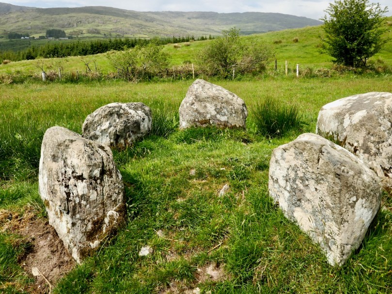
There are two Five-stone Circles in the townland of Baurgorm. This one (above), the more northerly of the the two, has two outliers but only one is visible in this photo as the other has fallen. There are two other standing stone recorded nearby but we could not find them. The portal stones are unusually far apart in this circle.

This is the second of the Baurgorm circles and from it are visible this group of stones – a standing stone row (three stones of which only two are visible from where we were and of which one of the stones is split) and a single standing stone.

This is the Mill Little Complex which comprises a Five-stone Circle (visible to the right of and behind Simon Tuite of Monumental Ireland), a standing stone pair (foreground, with field stones around them) and three Boulder Burials. While there are many example of Multiple-stone Circles in association with Boulder Burials, it’s unusual to see them alongside the Five-stone Circles.

Ó Núalláin finds the morphology (size and shape) of the stones unremarkable, apart from noting that the stones in individual monuments are roughly similar in size and shape. However, there is a little more to say about it than that. While the recumbent is invariably flat-topped, the flanking stones can vary from a gently rounded curve, to a slant, to what looks like a deliberately shaped angular peak. Have they been chosen, or shaped, with some purpose in mind? Two examples (above and below) are shown here where the right flanking stone (to the right of the recumbent) appears to have been chosen for its pointed shape. The first is Cappaboy Beg, the smallest of the Five-stone Circles and the second is Inchireagh.

Even though the recumbent is usually the lowest stone in the circle, it’s not always the case. At Kealkill (below), for example, the recumbent is easily the largest and most dominant of the five stones.

We cannot rely on archaeological evidence to reveal more about the nature and purpose of the Five-stone Circles. Only one has been scientifically excavated – the one that is part of the Kealkill complex. No burials or deposits were found. A one-day dig in the 1930’s at another site, Knocknakilla, revealed a sort of flat-stoned pavement in the interior, with lots of quartz fragments. Obviously this will be a fertile field for some future researcher.

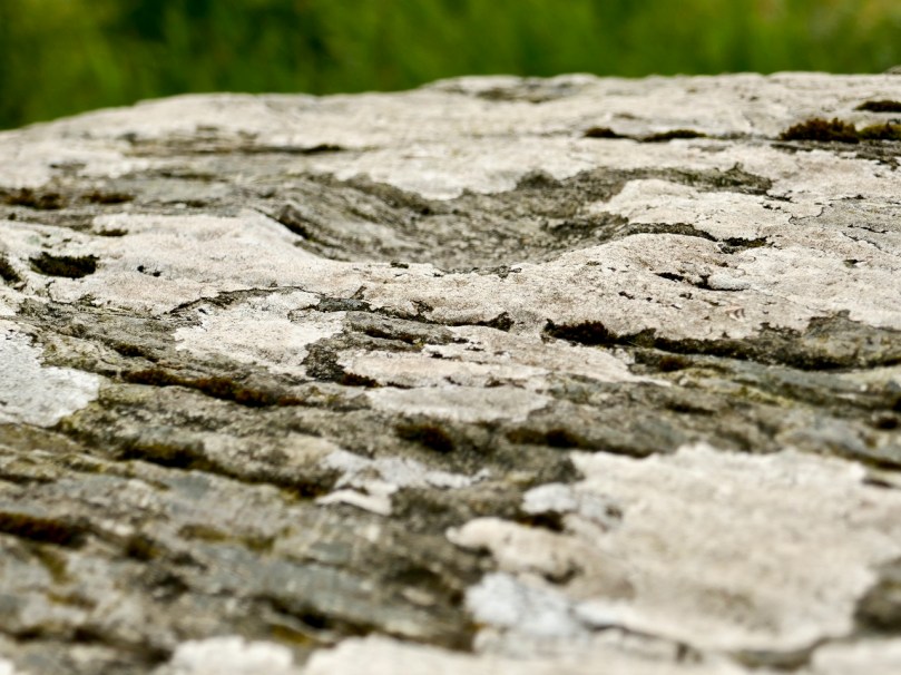
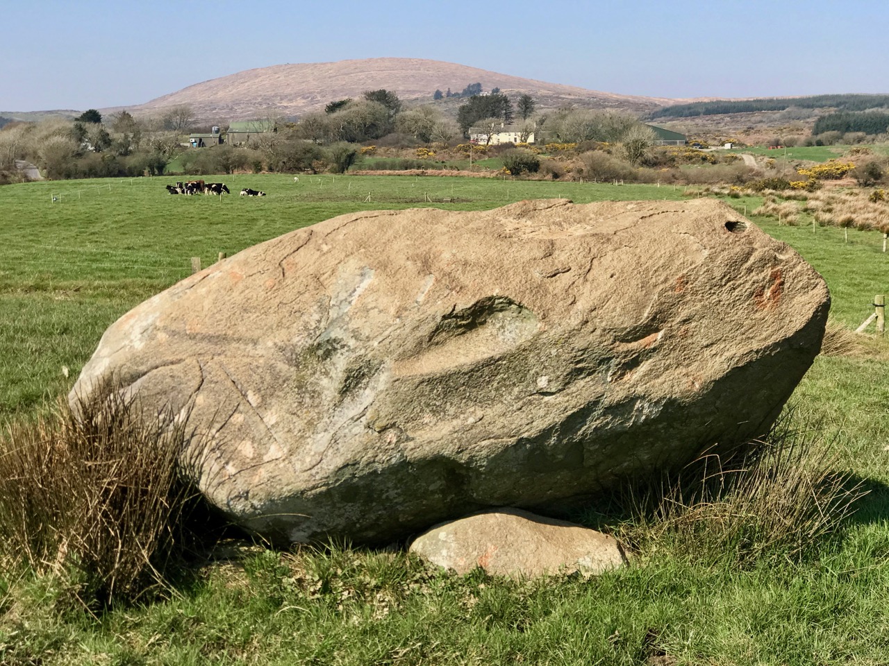
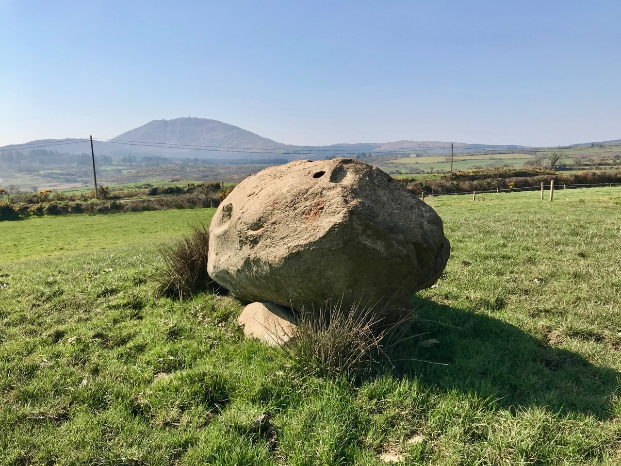
Glanbrack (above) has cupmarks on the top surface of the recumbent. Our second photograph, taken from the further of the two outliers, reminded us that on the day we visited the field had been half-spread with slurry (we held our noses). While we were engrossed in our photographing and observing, we suddenly became aware that the tractor had arrived at the gate (can you see it?) to do the second half. We hot-footed it out of there!

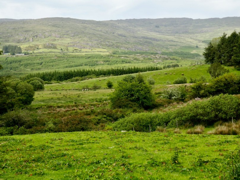
One thing we have noticed from our visits is that the Five-stone circles are differently situated from the Multiple-stone circles. Whereas Multiple-stone Circles are often on a bench on a hillside, with wide views in one direction and rising ground in the other directions (Drombeg is typical), Five-stone circles are often on flat ground in a valley or at the top of slight eminences (like Cullomane, above, and Cappaboy Beg and Inchireagh below) but usually with panoramic views all around. While we have noted this casually, we would need to go back and check these observations more carefully before being too categorical about them.

In my next post in this series I will get started on the Discussion – what conclusions can be drawn about the nature and purpose of Stone Circles? What do we know about who built them and why? And once again, thank you to Ej Carr for this superb shot of Uragh.


Kilcoe Castle – A Magnificent Reconstruction

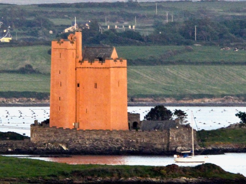
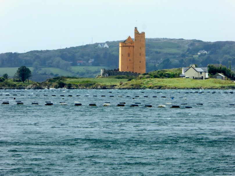
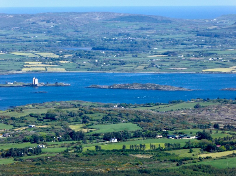
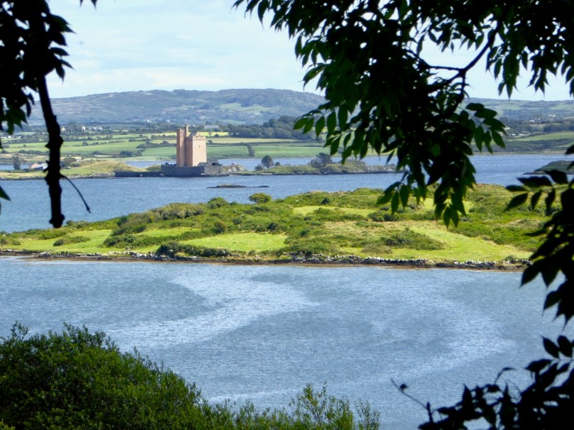
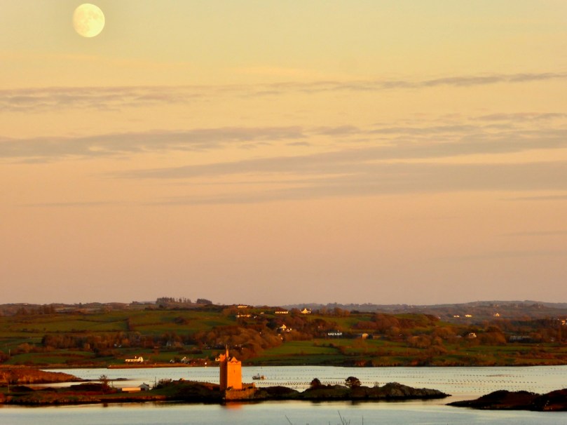
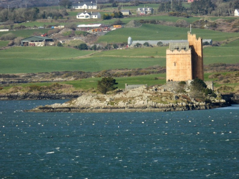
Kilcoe Castle has been wonderfully restored and conserved by Jeremy Irons. His work allows us to see what a 15th century castle would have looked like in the landscape and has saved a precious piece of our heritage. This is important as there are so few castles that have been conserved here and lots that have disappeared or are in danger of doing so. Before you read on you might like to refresh your understanding of our West Cork castles, or Tower Houses, by reading When is a Castle?; Tower House Tutorial, Part 1; Tower House Tutorial, Part 2; or Illustrating the Tower House: A Guest Blog (sort of)

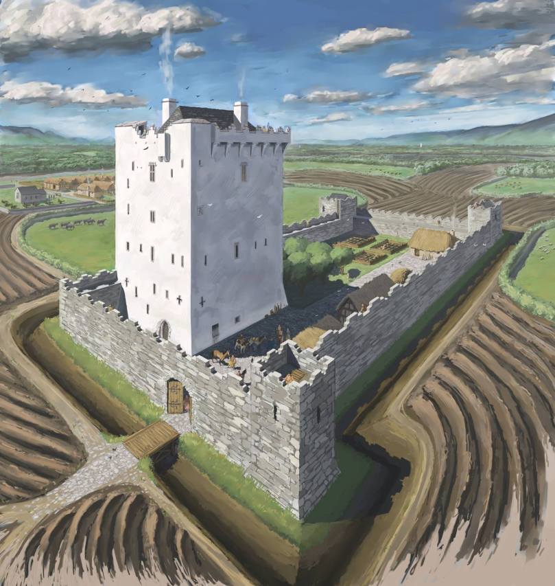
First of all, let’s address the issue of the colour of the exterior lime render, since this has been controversial. In fact, the only reason it’s been criticised is that people are not used to seeing castles as they originally stood, since the lime render has long ago disappeared from them, leaving the familiar bare stone walls that people have assumed was how they looked from the start. But all castles were rendered – without that they would have been porous and running with water inside and out.

This is JG O’Donoghue’s reconstruction drawing (used with permission) of what a fifteenth century tower house would have looked like. It was based on Kilcrea Castle. Note the white render and note also that another white castle can be seen in the distance

And the render was coloured! There is evidence of all kinds of additions that would have added colour, including animal fats, blood and hair, flour, shell, sand and stone rubble. The plasterer had his formula and also used what was available locally, materials that would increase cohesion and improve drying time. Irish places names abound in references to coloured castles – just Google the words “castle Ireland” and then put white, black, red, green in front of it and see how many there are. Or look for Irish equivalents, such as Castlederg – for Caisleán Dearg, meaning Red Castle. There’s even a Castleboy in Meath that comes from Caisleán Buí, meaning yellow castle. So the choice of colour was not idiosyncratic or random but well grounded in historical precedents. The render was essential to keep the castle dry and will have to be renewed occasionally as it does eventually wash away – which is why very few examples have survived from the fifteenth century.

The other reason to include colouring elements in the render was to make the castle stand out in the landscape. These were statement residences and the statement was one of power and prestige. They were meant to be seen from a long way off so that nobody could be in any doubt who was the most important person in the neighbourhood. In West Cork, they were also meant to be seen from other castles – those built either by members of the same or another family (the McCarthys, O’Mahonys, O’Driscolls, O’Sullivans or O’Donovans). Kilcoe was a McCarthy castle: the McCarthys were the overlords of all the West Cork clans and this castle was inserted right into the middle of territory controlled by the O’Mahony’s and the O’Driscolls as a constant reminder of the hierarchy. Accordingly, Kilcoe is the largest castle in Roaringwater Bay and has a unique design that incorporates an additional corner tower, distinguishing it from all the other castes around it. There is only one other West Cork castle of the same design – Dunmanus Castle on Dunmanus Bay, a castle of the O’Mahonys.

It was also important that castles could be seen from the water, because control of the fisheries was what gave the great West Cork families their vast wealth. Salted herring and pilchards were staples of the European diet in the Middle Ages because there were so many fasting days on which eating of meat was forbidden and because fresh food wasn’t always readily available in the winter. The O’Mahonys and O’Driscolls catered to the huge fleets of Spanish, French, Portuguese and British fishing boats that plied the waters of Roaringwater Bay, providing, for hefty fees, permission to fish in ‘their’ waters, fish processing facilities and salt in several ‘fish palaces’ along the shore, fresh water, and taverns with fine wines and (sorry) accommodating women. The McCarthy’s must have been involved in this lucrative trade too, but it is also likely that their objective in building Kilcoe was to keep an eye on the the ‘take’ so that they could extract, as befitted those at the top of the food chain, their due share from those who owed them submission and therefore were obligated to yield up hefty donations on a yearly basis.

Castles such as Kilcoe were heavily fortified. Mostly the inhabitants were worried about incursions by other Irish families. It was not until after the Battle of Kinsale in 1601 that the forces of the British Crown came to lay siege to Kilcoe. Thanks to its defensive features and siting Kilcoe was able to hold out longer than any other West Cork castle. The McCarthys abandoned it after Kinsale but an O’Driscoll held on until finally surrendering in 1603. What were the features of this castle that allowed it to resist so successfully?

Fist of all, it was sited on a small island. Like a few other West Cork castles, it was connected by a causeway that could be destroyed at will, cutting off access to the castle. It was surrounded by a strong bawn wall, which is clearly visible now as it has been reconstructed. The wall was punctured by arrow loops and had a wall walk at the top where crenellations provided cover for archers. The roof of the tower also had a wall walk and crenellations – in this case they took the form of what became known as Irish Crenellations. These were stepped or ‘toothed’ battlements, with tall parts (merlons) behind which defenders could take cover and shorter parts (crenels) for shooting from. The crenellations have been expertly reconstructed as part of the restoration of the castle.

Heavy ordinance such as cannons were not yet staples of siege warfare in Ireland – it was Cromwell who unleashed their destructive force half a century later. When the castle finally surrendered, it was intact. Over the years, of course, it fell into disrepair and finally into ruin. It was shored up and some work was done by the Samuels family, but when they sold it to Jeremy Irons the restoration program got underway.

What Kilcoe Castle looked like before reconstruction

This is a private home and I have never been inside it. But if you are curious you can see lots of interior photographs here: https://jeremyirons.net/category/kilcoe-castle/. My objective in this post has been to emphasise the importance of the restoration of this magnificent tower house so that it will be a highlight of West Cork heritage for generations to come, as well as to acknowledge the solid research that went into the reconstruction program, resulting in a spectacular structure that is a superb and historically-accurate addition to our West Cork landscape. Thank you, Jeremy Irons and your team, from all of us in West Cork.


The Stone Circles of West Cork: Multiple Stone Circles

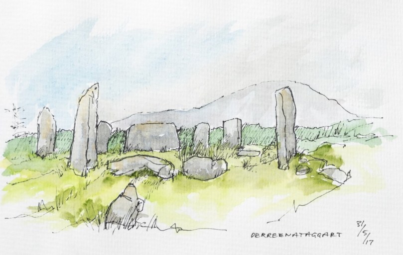
West Cork is home to a great concentration of prehistoric stone circles. While all of them share certain characteristics, there is a clear division between those containing only five stones and the multiples stone circles that contain seven or more, such as the Derreenataggart stone circle on the Beara, sketched by Peter Clarke, above. This post is about the multiple stone circles – I am leaving the five stone circles until next time. If you haven’t yet read The Stone Circles of West Cork: An Introduction, you might like to do that now before reading further.

Although we love getting out in the field and visiting ancient monuments, such as this stone circle at Maughnaclea, we have to confess that the sun doesn’t always shine

Although this post covers some of the same ground as the Introduction, my aim here is to concentrate on the larger circles and show you what they actually look like on the ground*. An online search for ‘West Cork Stone Circles’ will bring you to many pages of information about Drombeg but precious little else. Drombeg is a marvellous site and its excavation yielded much-needed information about stone circles, but it’s only one site – the one with the signposts and car park.

How about this one, for example, at Cappanaboule – it’s a bit of a hike and there’s no car park – but what a place!

Multiple stone circles in West Cork all fall under the heading of recumbent or axial circles, in which two portal stones (usually the tallest in the circle) stand opposite a recumbent and the line that passes through the portals and over the recumbent is considered to be the axis of the circles. However, within this predominant design, there are variations in how the builders decided to construct their circles.

A closer look at the Cappanaboule stone circle: ten of the original thirteen stones are still there and there’s a boulder burial in the middle

The most noticeable variation, of course, is the size of the circle and the number of stones it contains, from seven to an estimated nineteen. We don’t know why the builders made these choices, although as with most construction, size can be equated with wealth: building a stone circle was an arduous undertaking necessitating the ability to commandeer a significant labour force. Perhaps also a larger circle with more stones permitted finer gradations of alignments, if this was the purpose of the circle, or more expansive ceremonials within the boundary of the circle.

This is Gorteanish stone circle on the Sheep’s Head, only discovered in the 1990s when the Sheep’s Head Way trail was being cut. It’s hard to see what’s here because it’s so overgrown but it probably included 11 stones, four of which are still standing and two possible boulder burials, one inside and one outside the circle

The portals are normally the tallest stones in the circle but occasionally they are also set radially, or edge-on, to give the impression of a natural entrance.

This is one of the two stone circles in the townland of Knocks. It illustrates well the portal stones being radially set and being the tallest stones in the circle. In my photograph you are looking across the recumbent to the portals and in Peter’s sketch you are doing the opposite

In only three cases an extra pair of stones helps to emphasise the entry point by creating a short passage. One example of this is Carrigagrenane, which is also one of the largest circles at nineteen stones.

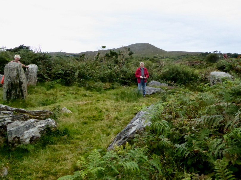
Carrigagrenane stone circle has double portals, creating a funnel or passage into the circle. This site is very overgrown and hard to locate so a lot of bracken-bashing was necessary to get this shot. Amanda is standing between the two outer portals

Conversely, the recumbent or axial stone is normally the lowest stone in the circle and the broadest (since it is set with its long axis parallel to the ground) but even here variation occurs. The axial stone at Ardgroom Outward, for example, is a pillar stone. Indeed, it can sometimes be difficult to decide where the axis line of the circle runs, if stones have fallen or are missing.

Ardgroom Outward stone circle, on the Beara is spectacularly sited. The axial stone, along with all the others in the circle, is a pillar stone rather than a recumbent. Note also the large monolith outside the circle to the right. The natural view-lines are to the north

Monoliths (single standing stones or blocks set on the ground) are present at some sites, either inside or outside the circle (as at Ardgroom Outward, above). Where they are inside they are placed off-centre. Where they are outside, they can be close to the circle or some way off but visible from it. These are usually called outliers.

This is the second stone circle in the townland of Knocks, the more southerly of the two. My photograph illustrates the line of sight over the recumbent, across a slightly off-centre monolith, to a radially set portal. Peter’s sketch illustrates the whole circle

Quartz is a stone of choice for some of these monoliths but it is interesting that quartz is never in use as a circle orthostat. 

The stone circle at Maulatanvally includes a large quartz conglomerate block within the circle. I was struck by how it was gleaming on a dull day

Standing stone pairs can also function as outliers to a multiple stone circle. At Dunbeacon this outlier pair is almost half a kilometre from the circle across the valley, but each is clearly visible from the other. Originally a third standing stone also stood within 50 metres of the standing stone pair, but it has now disappeared.

Dunbeacon stone circle, recently corralled inside a wooden fence. The natural view-line from this circle is to Mount Corrin to the east, rather than the south or west. The standing stone pair in Coolcoulaghta are located in front of the furthest house to the left in the photograph.

Another association is with boulder burials, sometimes found outside the circle, as in Bohonagh (see An Introduction) where the boulder burial capstone is quartz and contains cupmarks. At Ballyvacky (below) a boulder burial stands about 50 metres from the circle and a standing stone once stood beside it.

My photograph is taken from the Ballyvacky boulder burial, looking across to the stone circle. Peter’s sketch shows what is still standing – seven of the original nine stones. You can see that the remaining portal is radially set and that the recumbent is the largest stone in the circle

Boulder burials, as we have seen, are also found inside the circle: one of the most spectacular examples of this is at Breeny More (below) where a group of four boulder burial are set in a square within a large circle from which most of the stones are missing.

Finally, occasional stone circles will be surrounded by a fosse or shallow ditch. The most striking example is at Reenascreena, below.

Visiting stone circles, I am struck by features which appear to be similar at all or most of the sites. Many are situated on elevated sites with expansive views to the south and west. While this has been well documented by archaeologists, it’s one thing to read about it and yet another to visit several circles on one day and find yourself expecting a certain set of circumstances as you tune in to patterns in the sites themselves. What the orientation descriptions don’t mention, for example, is that the choice of location often features rising ground behind the circles which obscures the horizon to the north.

The rising ground behind Dunbeacon stone circle cuts off the view of Dunmanus Bay and concentrates the view-lines towards the east and south-east

Occasionally the higher ground obscuring the horizon is not to the north at all, but to the south or south-west – confounding our expectations that the obvious view-lines will be to the south and west. Cappanaboule is strikingly situated thus, as is Ardgroom Outward.

And then we have examples in fairly flat country with no really obvious view-lines. This can be complicated by surrounding forestry, as at Knockaneirk (above) where, if there was an obvious orientation over the recumbent it has long been hidden by tall tree.

Ardgroom Outward stone circle is dramatically silhouetted against the mountains of the Beara peninsula as you walk up the track towards it

Next time I will write about the five stone circles – there are as many of them as there are the multiple stone circles and while they share most of the same features they have their own special character.

*Most of these photographs (like the one of Breeny More, above) were taken last year or in previous year, and many of them in the company of Amanda (Holy Wells of Cork and Kerry) and Peter (Hikelines) Clarke. I am indebted to Peter for the sketches. Not being able to get out into the field to visit and photograph more circles has been frustrated this year by Covid19 travel restrictions, so I have decided to go ahead and use what I have, rather than wait to add to my collection. 

Glens of the Scientists

It’s Easter Sunday, but we didn’t see the sun dancing at dawn this morning. In fact, so far it’s the first wet day that we’ve had since we’ve been in ‘lockdown’ because of the Covid 19 crisis. Such a contrast from the view over Roaringwater Bay yesterday (Saturday, see above) when the weather was absolutely flawless: no wind, blue sky over balmy sea, and temperatures akin to midsummer. But for today’s post I’m going back a few weeks to the days when Coronavirus was just something that was happening, in the news, a world away from West Cork – and we were still free to roam the countryside.

Spring equinox came early this year. We were out for it, in a biting east wind but dry under clear skies. Our destination was a vast landscape of glens and hills to the east of Bantry town. The place fascinates us: it is alive with prehistory. There are literally dozens of scheduled monuments spread over many townlands. They include stone circles, standing stones, stone alignments, ancient cairns and other anomalous stone groupings. This is probably one of the west of Ireland’s richest and most concentrated areas which records, through physical remains, human activity from the Neolithic period – the earliest settled farmers – through to the Bronze Age, when the first metallurgists began to explore and exploit the underlying geology of the landscape.

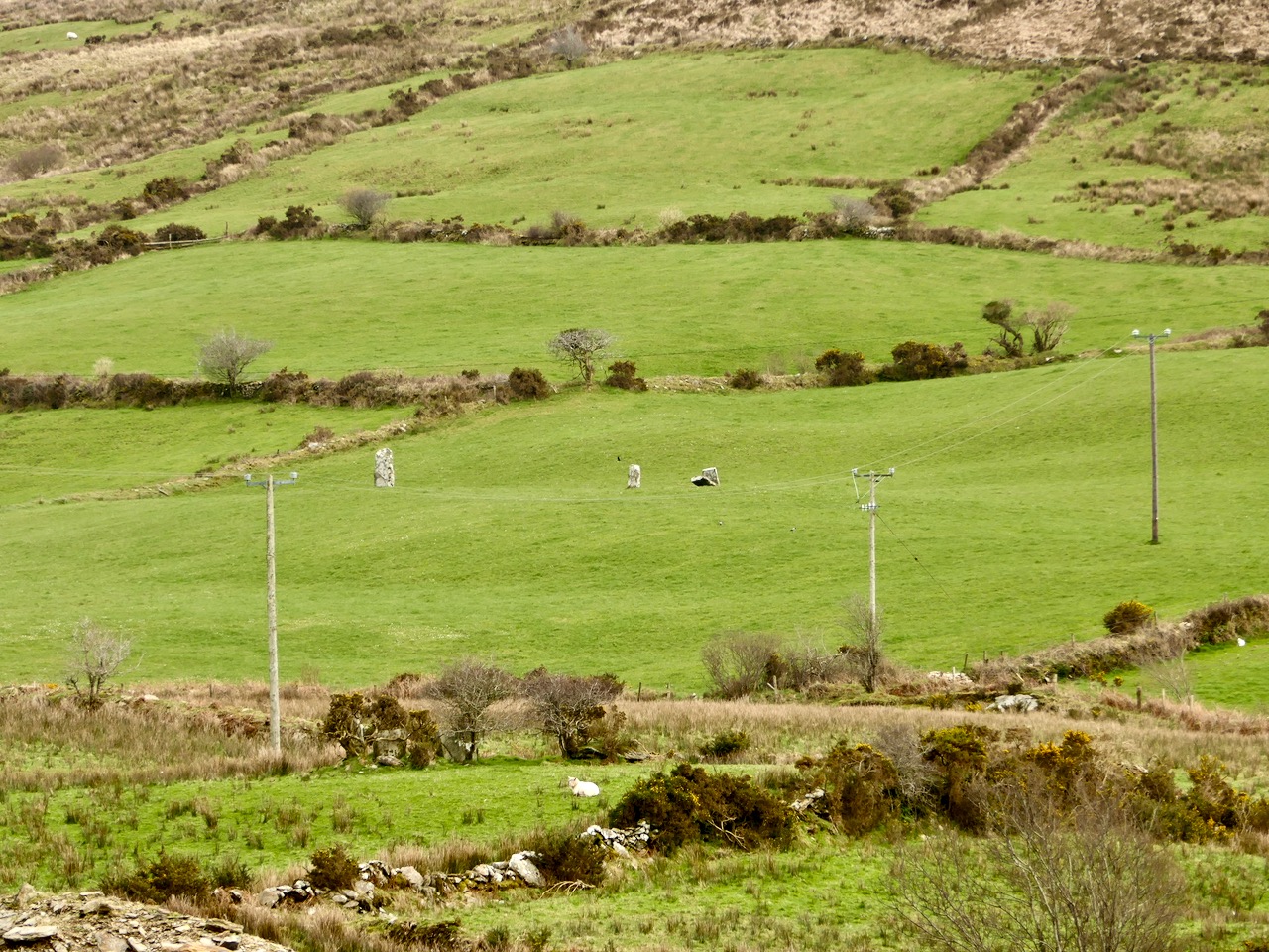
Upper – look carefully – there’s an alignment of three significant standing stones in these fields in Cullomane West, but our first stop was a nearby anomolous stone grouping which included an equinox alignment – (lower) – towards the west horizon

It was pure chance that we were out on the day of the spring (or vernal) equinox – the time when the length of the day equals the length of the night. And pure chance, also, that our first stop, in the townland of Derreengreanagh, presented us with a spring equinox alignment. We had the permission of the landowner to cross her fields to access these stones which are hidden away from any highway or byway. We found two substantial standing stones and a small group of recumbent stones. By checking the relative positions of the two tall stones on a ‘sunseeker’ app, we were able to establish that they line up perfectly with the spring equinox sunrise to the east and the spring equinox sunset to the west. Furthermore, the point at which the sun rises on the eastern horizon on this day is marked by a distant hilltop – also in perfect alignment:

As I look around the glens on our wanderings, I see into the past. I see rich, sheltered meadows watered by natural streams, stunted oak forests, sunlit glades. I feel the warmth of the sun as it gets stronger, contained by the bowl shaped landscapes; I find flocks of sheep which don’t seem to mind our trespassing (carefully) on their domains – they are content with their environment. The place is at peace in its own time.

I try to feel closer to those who dwelled in this relative tranquility thousands of years ago. I can imagine that the shape of the landscape, and its natural offerings, attracted them. They might have been my own distant ancestors, or yours. But they were no different from you and me. Their lives were technologically unlike ours, but we can’t suppose that their responses to what was around them would be unrecognisable to us. They would have welcomed the abundance which fed them, through their ability to understand the principles of sowing and harvesting; they were able to make shelters from natural materials – wood, stone and furze. But, beyond the practicalities, surely they would have seen wonder in nature. How could they not respond to the ever changing light, the vastness of the sky, the awesome infinity of the stars? The strange movements of sun and moon… The constancy of things all around them?

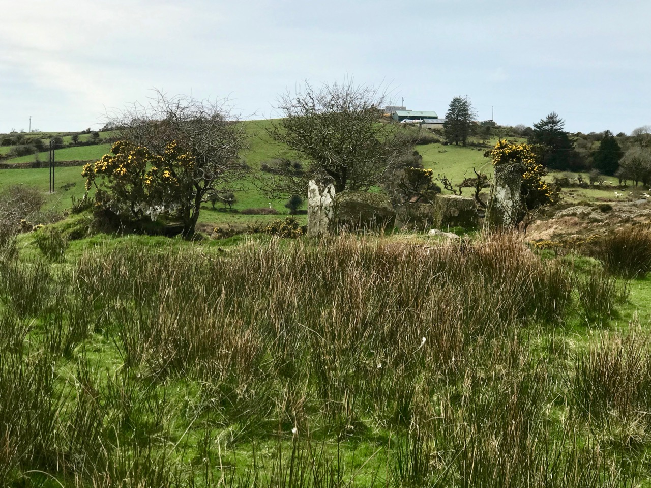
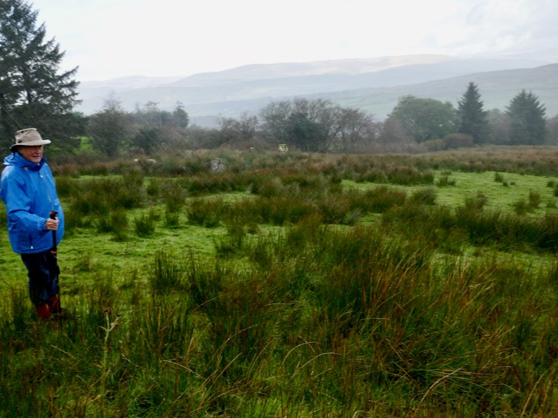
Hiding in nature: this five-stone circle in Baurgorm townland is heavily overgrown and guarded by thorn trees, yet it survives: its orientation and the alignment of the stones was undoubtedly deliberate

The next townland over from Derreengreanagh is Baurgorm, where our researches were rewarded with an almost intact five-stone circle. Within site of this is another stone alignment (see picture 3 above), and several other scheduled monuments are nearby. There is no ‘Stonehenge’ or ‘Newgrange’ in these glens: everything is relatively low-key and is unlikely to impress the average 21st century sightseer. Yet these stones are still there, set in the landscape where they were first placed – with a purpose – in these glens so many generations ago.

Walking the glens: walking through prehistory

In my opinion (and this is only my opinion, remember), the people who lived in these glens were our earliest scientists, and the surviving ancient stones are the hard evidence of their science. They were observing and recording the world they saw around them and marking the elements of that world which were of the greatest significance. One of these must have been the solar cycle. The equinoxes were of paramount importance: through the half-year after the spring equinox the days were longer, lighter and warmer, while through the half-year after the autumn equinox, their world was darker and colder with short days and long nights. The alignment of the standing stones at Derreengreanagh marks this calendrical division with great accuracy, and must have taken a great deal of time and human endeavour to set up. The shape of the terrain, the undulations of the horizon, and the daily progression of the sun had to be understood and integrated into a  construction so monumental that it has survived intact for 3,000 years or more. There’s nothing magic about this, or mystic or religious: it’s pure science.

Not just the sun, but the phases of the moon and the trajectories of the stars would have been observed and studied by our ancestors. What came before Christianity in Ireland? St Patrick’s work was to convert the Irish, but all he says in his own Confessio about them is that they worshipped ‘idols and unclean things’. But he also refers to ‘all those who adore’ the sun. That’s a fascinating concept: ‘adoration of the sun’. Patrick didn’t use the phrase worship of the sun. but he had specifically mentioned worship of idols. I could be reading too much into the Confessio as it has come down to us, but the concept of ‘adoring’ as opposed to ‘worship’ fits well with the idea of Ireland’s earliest settled people being obsessively concerned with the movement of this source of light, heat – and life. In the remotest regions of West Cork we find an ancient wisdom.

Mizen Mountains 4 – Corrin

The world is in trouble – but in our tiny corner of it we find ourselves taking the time to get out into the open air, lapping up any chance of sunlight, and bracing ourselves against the bitter east winds that seem to prevail at the moment. Following last week’s escapades, when we discovered new territory just beyond the boundaries of the Mizen, we decided to take up the challenge of one of the most significant Mizen peaks – Mount Corrin.

Upper – the elevated boulder burial at Rathruane – probably Bronze Age – seems to echo the profile of Mount Corrin – a perfect peak – away to the west, while – lower – the same monument also stands in context with Mizen’s highest mountain – Gabriel – to the south

We have passed the spring equinox, and days are now longer than nights. It’s a good time to consider seriously exploring the high ridges again. Corrin – 284 metres – is not the highest summit on the Mizen, but its profile is one of the most distinctive as it rises from lower ground on all sides – a ‘proper’ mountain! in this respect it is  surpassed only by the Mizen giant – Mount Gabriel. We’ll tackle that one later on. We notice that Gabriel is always visible to us, from whatever elevated ground we traverse.

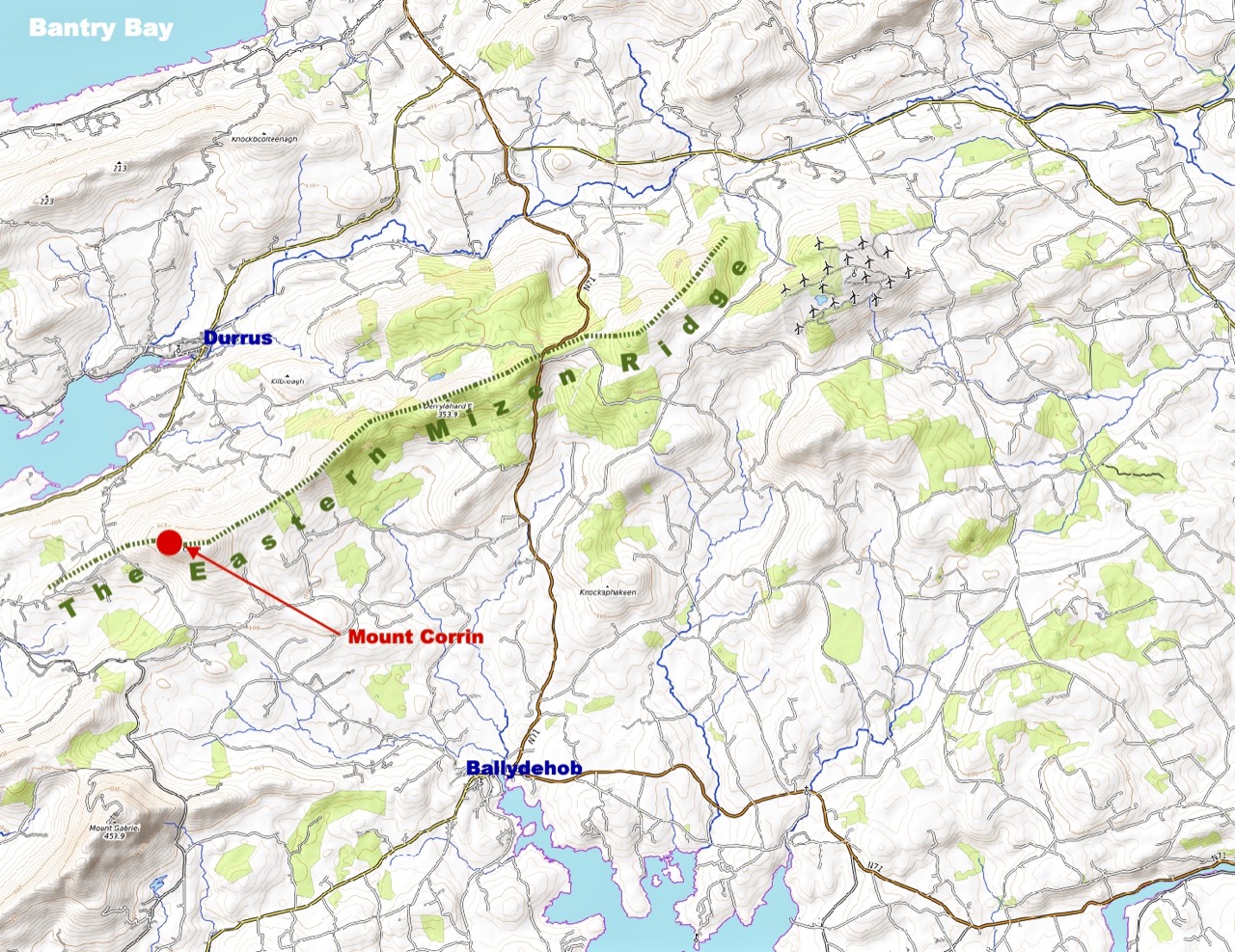
Last time we tackled Letterlicky, which is at the furthest edge of the eastern Mizen Ridge: today’s summit is on the west side of the same ridge  We have, of course, been to the top of Corrin before: Finola’s post of October 2015 describes previous expeditions. Then, the light was magnificent and the skies were clear blue – such a contrast to the beginning of this week, when the landscape has been pallid – all washed-out browns and yellows: spring  still hiding its face in West Cork.

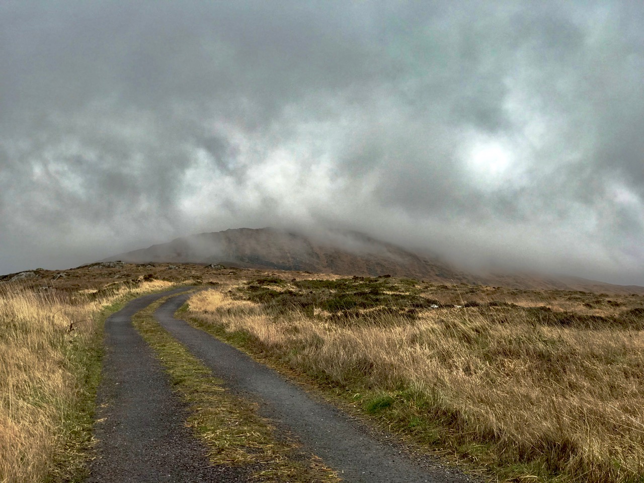
Upper – approaching Corrin on a challenging day. Lower – on the ascent, good distant views can be got to Ballydehob Bay, in spite of poor weather

We were the only souls on the mountain: it’s a good way of being self-isolated. But any walk in a natural environment in these strange times is exhilarating. In fact, we made two journeys to Corrin in the week: the first had to be abandoned in haste when halfway up due to waterlogged footwear and a biting cold easterly.

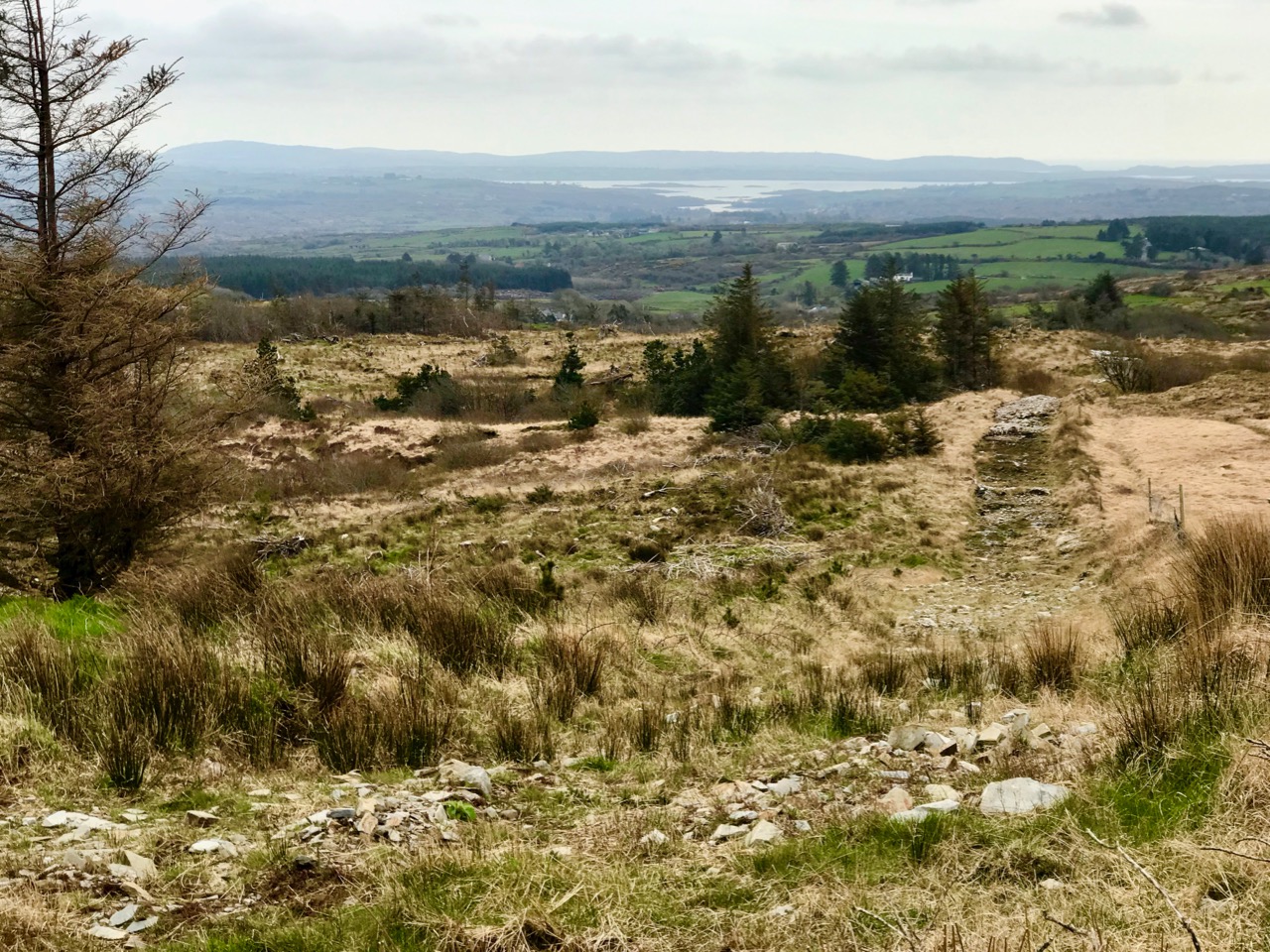
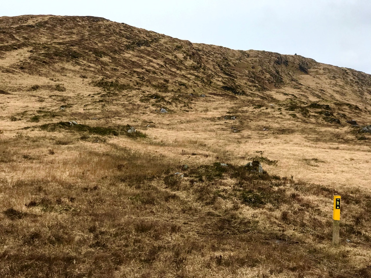
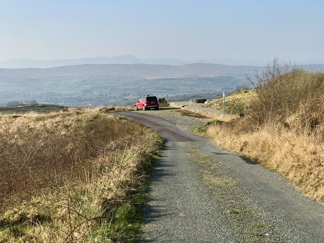
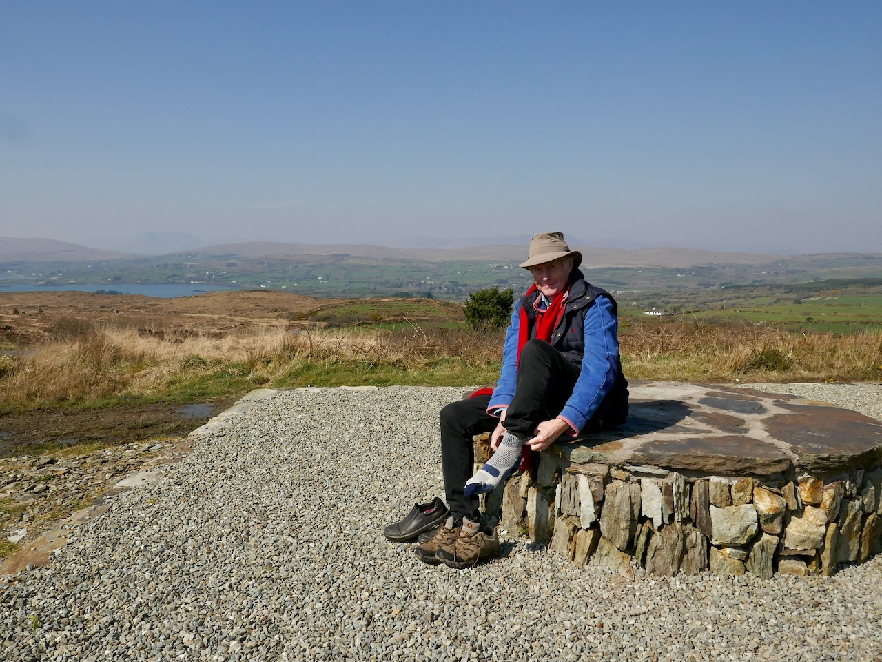
Upper – on our first attempt on Corrin we got as far as this wilderness before turning back. Centre – park here for the Corrin trail! It’s well marked and accessible from the east side. Lower – a convenient seat for donning the right footwear! This is on our second attempt, in much improved conditions

Suddenly – on Friday – everything changed. Out of nowhere came a bright, clear and windless day. We hurried out to complete our journey to the summit, revelling in the light. It was as though, for the first time in the year, there was a sense of expectant renewal. When we arrived home, it was to discover that Ireland had been plunged into lockdown: we (the ‘elderly and vulnerable’) have to stay in our homes unless needs are urgent (food and medicine) although we are permitted to exercise close to home, always keeping a safe distance from others.

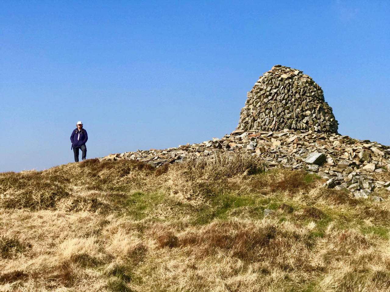
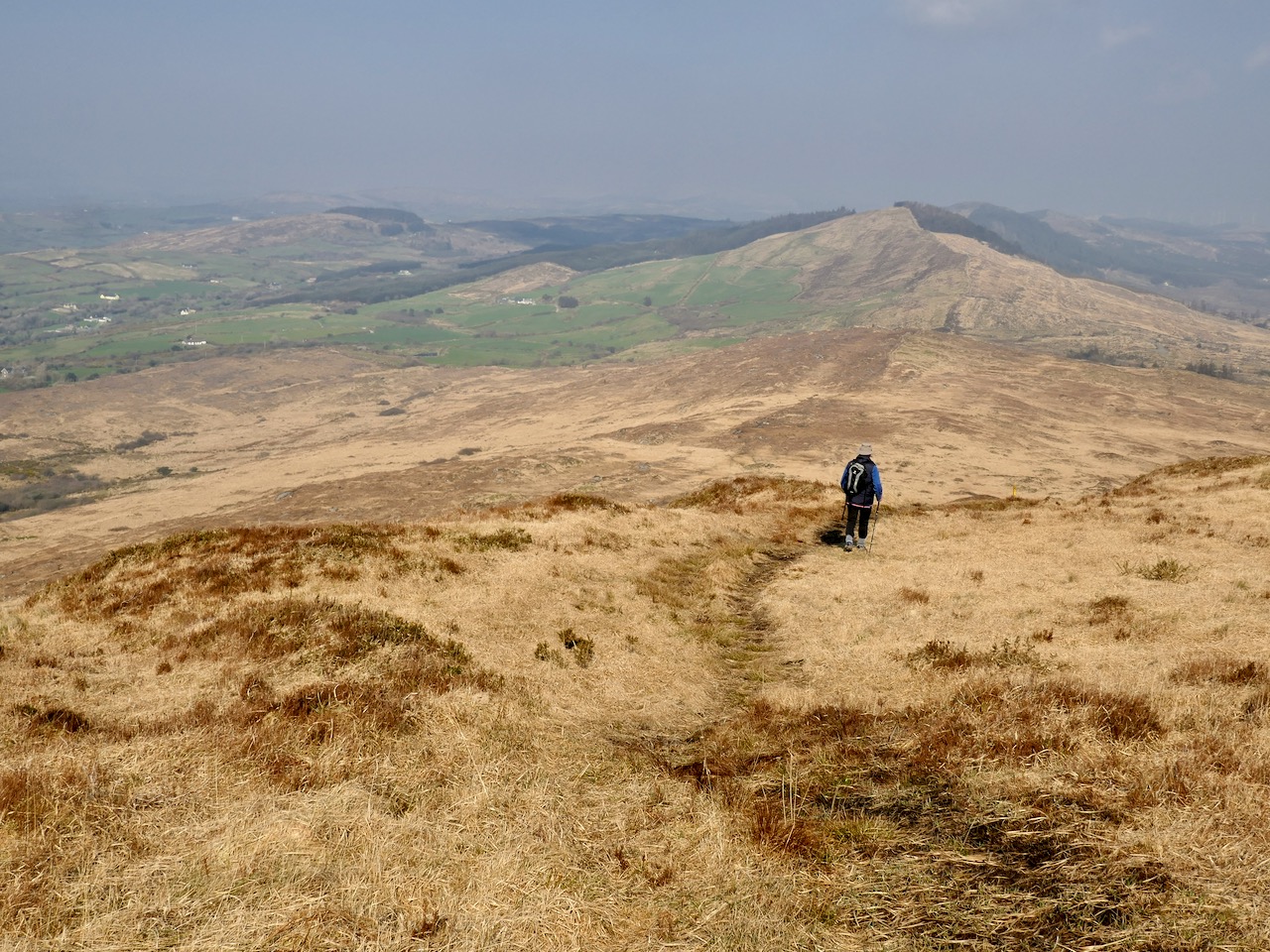
Upper – Finola looks back along the ridge towards our previous goals (Lisheennacreagh and Letterlicky). Centre – spectacular views of Gabriel and the Barnaclleeve Gap are had from Corrin. Lower – the track is well marked: we are approaching the summit cairn

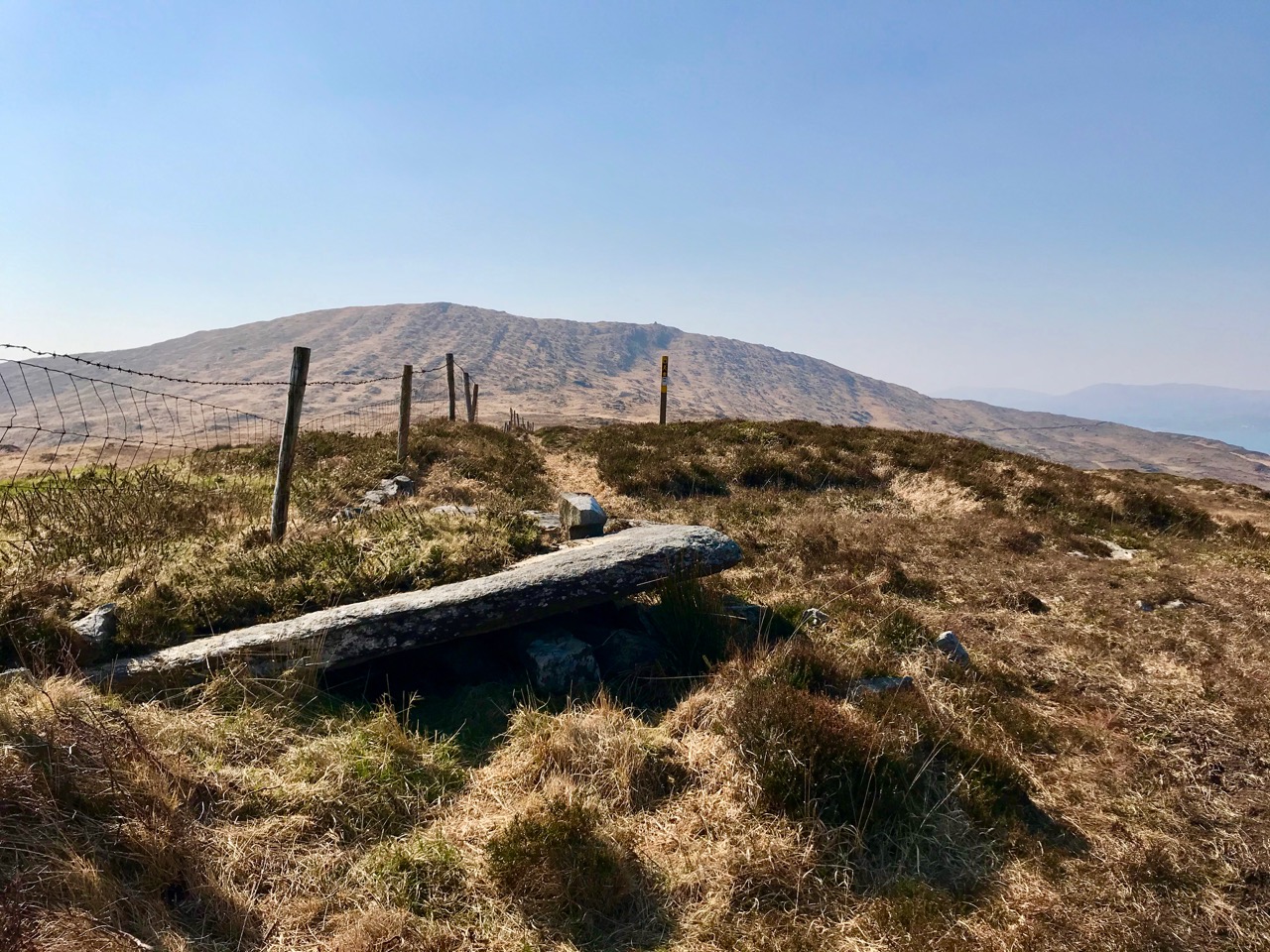
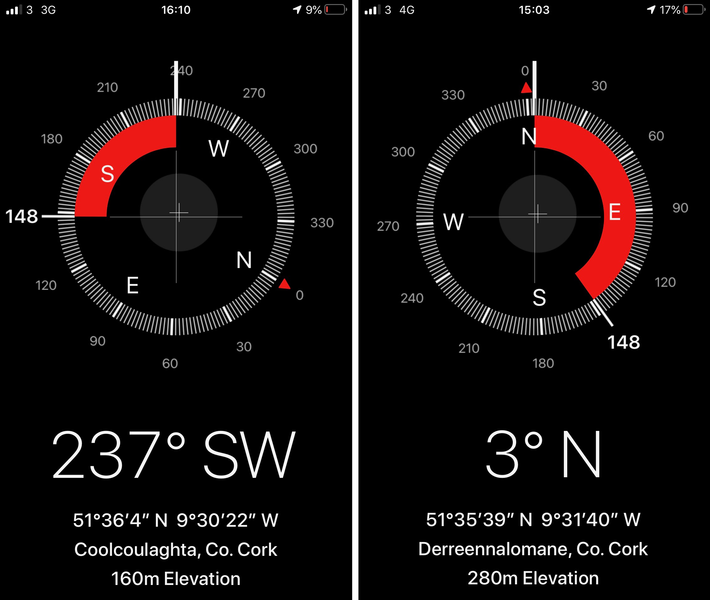
There is history on this mountain. The summit is crowned by a significant cairn. If the peak is named from the cairn – which seems likely (West Cork folk would pronounce ‘cairn’ corrin), it must have had ancient roots going back through many generations. The National Monuments Record makes brief mention of it: Class: Cairn – unclassified – Townland: Coolcoulaghta, Derreennalomane – On top of  Mount Corrin, commanding view. Sub-circular cairn (H 0.7m; 13.6m E-W; 15m N-S); modern cairn built in centre (H 2.7m; circ. 10.9m). On the way up from the east side, the path passes directly over some large prostrate slabs which look very much like a broken wedge tomb. The NMR says only this: Megalithic structure. There are also, near the summit, three substantial stones in an alignment. The NMR is silent on these.

Upper and centre – a possible broken wedge tomb on the slopes of the mountain. Lower – a convincing three-stone alignment which doesn’t get a mention in the Scheduled Monuments Record

Duchas has a far more exciting mention of Mount Corrin, with this ‘True Old Story’ recorded in 1936 from Dreenlomane School:

A True Old Story

. . . About eighty years ago where there was no talk of anyone being able to fly there lived in Screathan Uí Laoghaire [Scrathanleary] a very clever man named Julian Camier. He had a house built, and quarried slate on the other side of Cnoc an Chairn at a place called Leaca Dhubh, and then he made a pair of wings. He told all the people that he would fly if each one of them brought a couple of slates home for him. When the day came crowds of people ascended on Mount Corrin to see him fly. He went on top of a high cliff and put on his wings but they failed to work when he spread them out and he jumped into the air and he fell off the cliff and hurt his leg. All the people took pity on him and each one brought a couple of slates down to his house so he got the slate brought home easy, and after that he was known as “Fly away Julian” . . . 
 

Patrick Donovan, Dreenlomane, Ballydehob, Skibbereen

Obtained from my father, Patrick Donovan 52 yrs

The Duchas Schools Folklore Collection also mentions folktales told about the mountain:

It is said that there is a chieftain buried under a heap of stones in Mount Corrin and there are other chieftains buried in Coolcoulachta . . .  There is a cairn on the top of ‘Corrin’ hill and it is said that a giant Mc Gun and his horse were buried there . . .
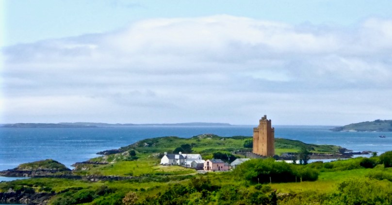
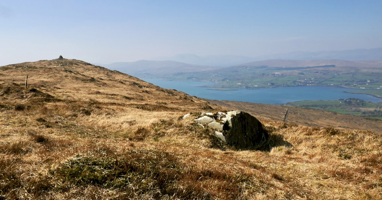
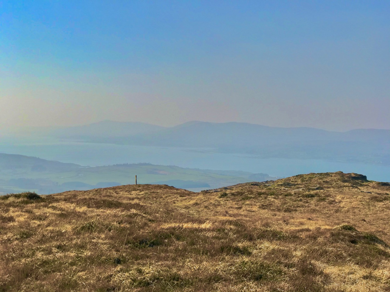
Upper – view from Corrin’s summit across the Sheeps Head Peninsula. Lower – descending from the peak

It would be wonderful to think that folk tales about ancient burials on the mountain top is a memory carried down through countless generations. Clearly this Mizen summit holds histories and mysteries. but, regardless of any lore that we might find in our researches, it’s one of the finest walks that you can take in this part of West Cork, with rewarding views over the whole peninsula.

From start to finish the round walk from the eastern access point to Mount Corrin summit and back involves an ascent of 120 metres and a distance of around 6km

Mizen Mountains 3 – Letterlicky Cairn, or ‘The Old Bog Road’

I confess I’m stretching things a bit here: the 297m peak in the townland of Letterlicky, West Cork, fits well enough into my definition of mountains – anything above the 200 metre contour line. But is this one on the Mizen? We think of our own village of Ballydehob as being ‘The Gateway to The Mizen’ in the south-east, and it would be logical to have another ‘Gateway’ at Durrus, where the northern coastline of the Mizen meets the Sheeps Head. If you draw a straight line between these two points, then today’s subject misses out. But – there are no straight lines in nature, and this peak is a continuation of a natural ridge line that rises down on the Mizen near Mount Corrin and runs east.

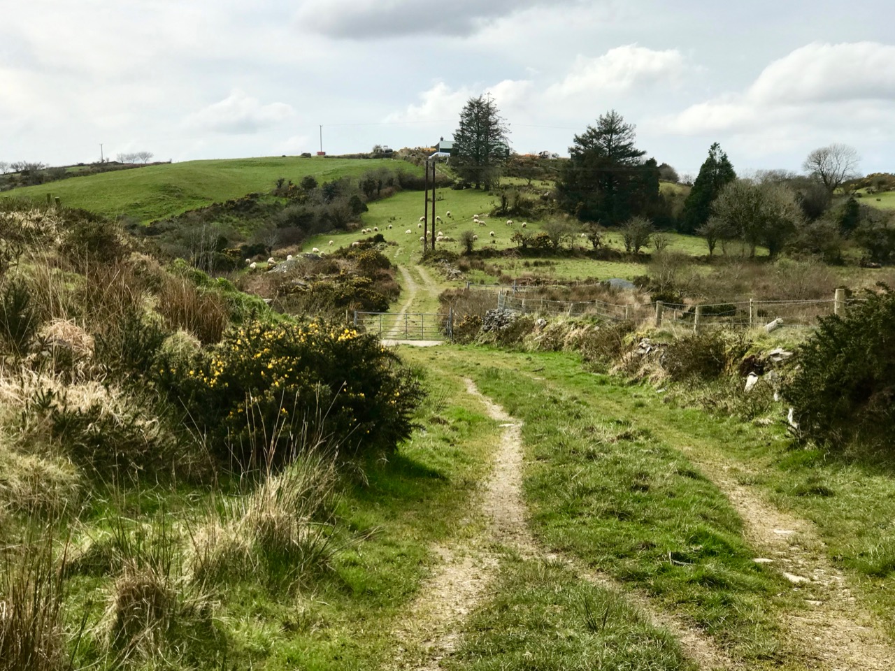
But if you are uncomfortable with my concept of what is or isn’t the Mizen, just go with the subtitle of this post: The Old Bog Road. We found Letterlicky Cairn quite by accident as our exploration set out to follow a trackway that we had often passed, on the high road to the north of Ballybane West. We had no idea where the track would take us, but it’s very well defined, roughly paved and probably quite old. As we journeyed up into the hills, we could see that the track was there to serve peat workings which must have been used for generations. The extent of the peat workings – and the line of the old road serving them – show up well on the aerial map view below.

It was a sunless mid-March day when we set out: the wind was in the east and there was little colour in the landscape. There were, as yet, few signs of spring. We could see the ridge in the distance and, happily, the track appeared to climb towards it. In Ireland, the days of cutting peat for fuel are numbered: commercial operations will cease by 2025. Generations of families in rural areas have historically cut peat by hand and lay claims on the rights to do this. Increased regulation will eventually see this tradition declining along with all other fossil fuel production as carbon neutral ways to produce energy are developed. It seemed significant that the large array of 20 giant wind turbines on the high land to the east was a constant backdrop on our journey along the Old Bog Road.

Tomás Ó Muircheartaigh (1907 – 1967) was an amateur photographer who recorded life in rural Ireland during the first half of the twentieth century. We have used examples of his work in previous posts. These two prints (above) demonstrate the hand-working of peat faces and the transporting of sods from the workings. Our Old Bog Road would have seen similar sights in its heyday.

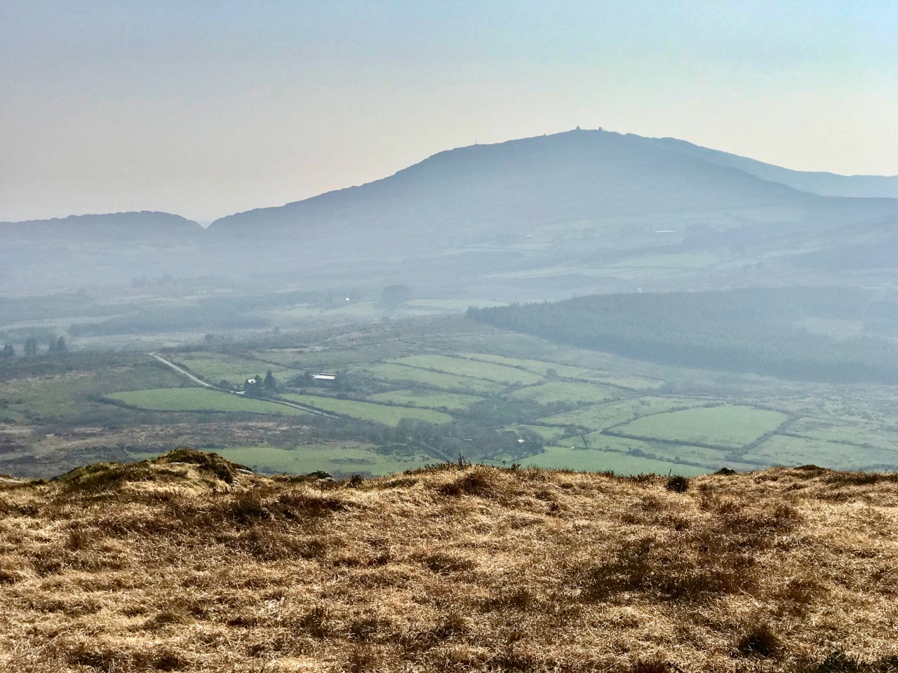
As we threaded our way through the peat workings, we could see the track carrying on towards the ridge. We had done no prior research into the area we were traversing, but as the way grew higher and higher – and we realised we must be coming to a high point in the landscape – we wondered whether there would be any signs of ancient activity on the mountain top. We could see other high points around us – Mount Kidd to the south and Mount Gabriel to the west – and, beyond, a spectacular distant view over Roaringwater Bay: a place like this would have been considered special, surely, to those who knew it thousands of years ago.

Views from the Old Bog Road: upper – Mount Kidd; middle – Mount Gabriel, and lower – the islands of Roaringwater Bay

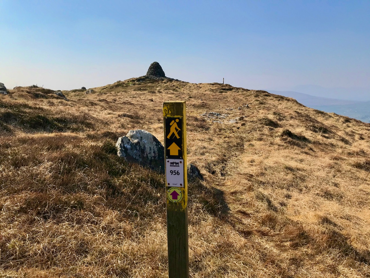
As we rounded the last bend in the trackway we could see the summit ahead of us. Initially, we were delighted to see a substantial cairn. But we were surprised by the number of larger, roughly shaped boulders and slabs which were lying around it. Also, there seemed to be a substantial earthen raised platform.

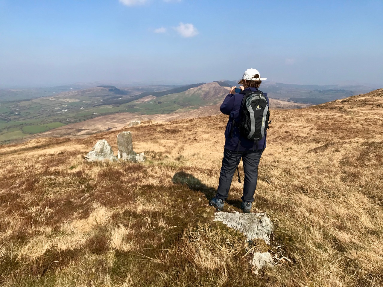
To add to the interest – and the enigma – there were some 21st century monuments on the same hilltop. An inscribed bench and a carved wooden marker which resembled a gravestone, with wording on both sides:

Our subsequent enquiries have given us a little information about Mick Townshend (1951 – 2012). He was well know locally, related to the Townshends of Castletownshend, and lived near Ballybane West. The bench was made by his friend Charlie, and was intended to be installed in Ballydehob: we don’t know why it is now here at the mercy of the elements, but it’s easy to imagine someone finding such a place inspirational, and perhaps asking to be remembered at this spot.

Although it wasn’t the best of days, the view to the north was exceptional, taking in Bantry Bay and the Beara mountains beyond. It’s a place that demands to be returned to. As we prepared for the descent we heard the sound of a small engine, and suddenly there was farmer Florence McCarthy arriving on a quad bike with two collies running behind: they were searching for lost sheep. Good chat was had – although, in deference to the Coronavirus crisis, we all kept the currently regulation distance apart. It felt very unnatural to not shake hands, and we forgot to ask for a photograph, until Florence was just disappearing over the brow of the hill!

Florence

The cairn is a scheduled monument, described prosaically on the Archaeological Survey Database as: Circular area (19.5m N-S; 19m E-W) defined by scatter of large rectangular stones. The Duchas folklore collection proved far more interesting, although I can’t be sure that this entry from Gort Uí Chluana School, Bantry, in 1936 is referring to the same cairn:

Long ago when some of the people from the north of Ballydehob used be carrying their “firkins” of butter to Cork they used go through an old road in the town land of Letter Lickey . . .


On the side of this old road it is supposed that one man killed another with a stone. After that it was the custom with the old people; who ever happened to pass that stone should throw a stone near the spot the stone was dropped at the man or if not something would happen to the person afterwards. Up to the present day there is a cairn of stones to be seen on the side of this old road . . .