Reviving St Patrick’s Cross!

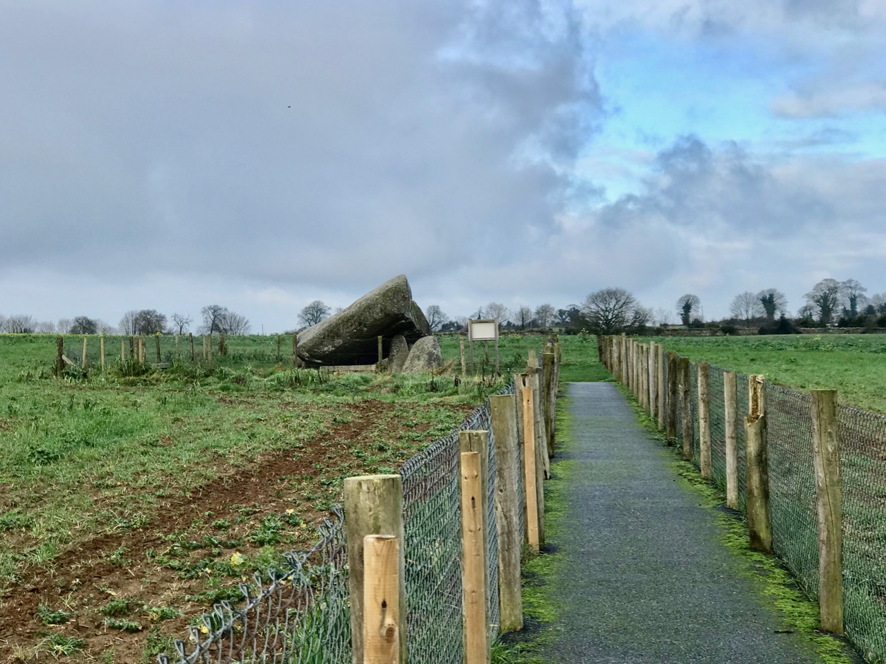
It’s an archaeologist’s job to dig things up from the past. Today – the Feast of St Patrick – I’m digging up an old custom and suggesting that it’s something we should all revive!

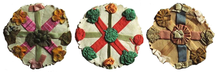
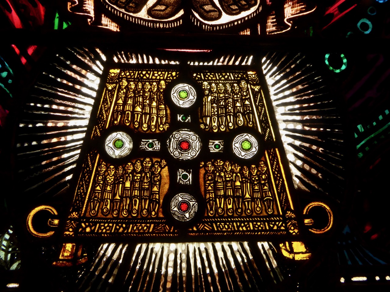
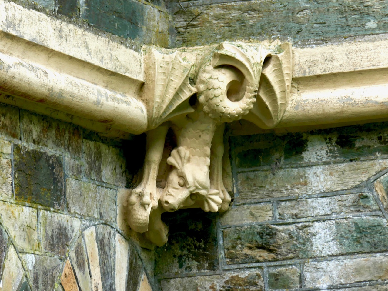
Examples of St Patrick’s crosses survive in glass cases today. These three are from Ireland’s National Museum of Country Life, Castlebar, Co Mayo

I have found much of my information on this subject in Kevin Danaher’s 1972 book The Year in Ireland – A Calendar published by The Mercier Press. Danaher begins his calendar on St Brighid’s Day (his spelling), and naturally discusses the custom of the making of bogha Bríde – the St Brighid’s cross. In this tradition, very much alive today, a cross is made from straw or reed and hung in the house to ensure good luck and protection for the coming year. In future years new crosses are made, but the old ones are never thrown away: if you visit a traditional Irish cottage, you are likely to see a whole lot of Brighid’s crosses pinned over the mantlepiece or among the rafters in various stages of decay.

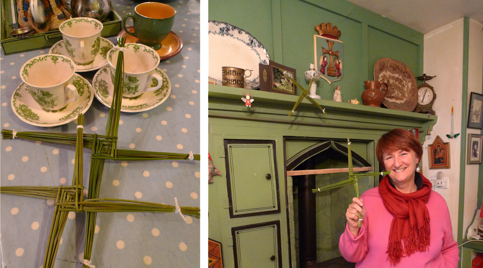
A traditional Irish cottage, Finola and her St Brighid’s cross. See this post

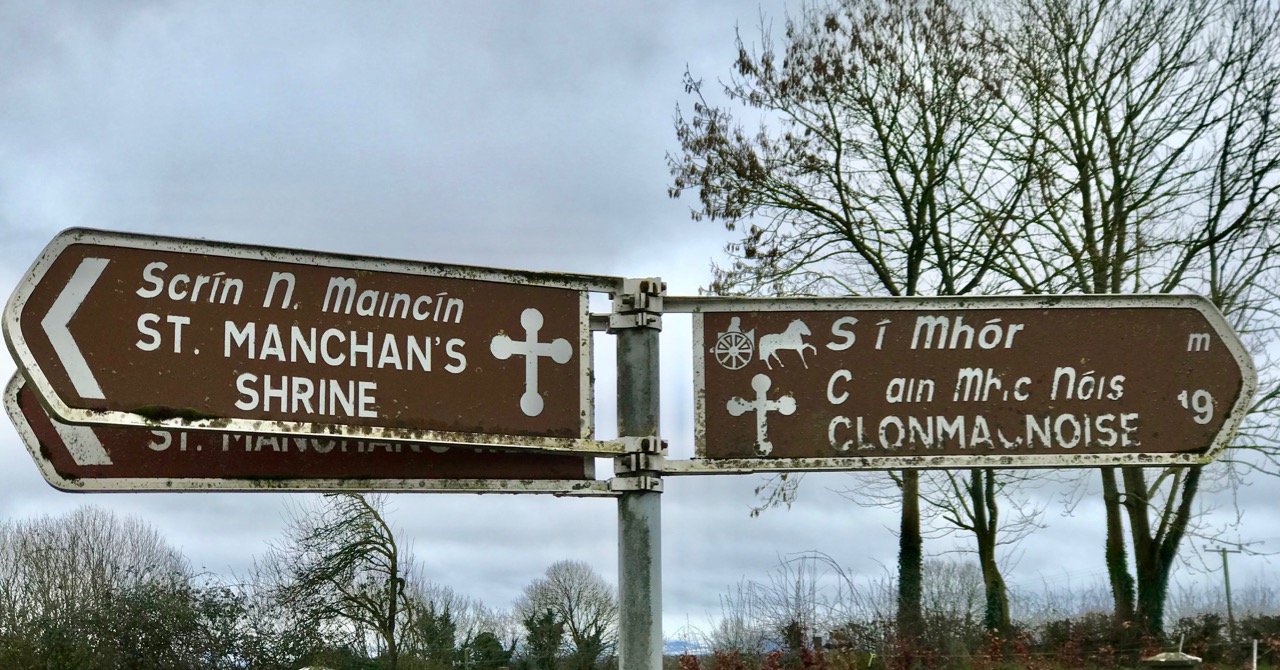
When Danagher comes to the next important Irish Festival – St Patrick’s Day – he mentions a similar custom involving a St Patrick’s cross or badge, worn on the clothing for the day itself, and then hung in the house to ensure that the saint’s blessing continues through the years. The custom was still within living memory when Danaher wrote, but its practice appears to have died out altogether in the early years of the twentieth century, although surviving examples of these crosses, emblems or badges can be seen in museums today. I am not aware of anyone keeping up this custom so – to celebrate the day that’s in it – I am proposing a revival!

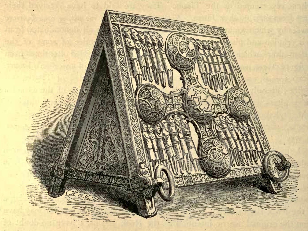
Danaher’s illustrations of St Patrick’s crosses from The Year in Ireland

First, the history: an English traveller in Ireland, Thomas Dinely, wrote in 1681:

The 17th day of March yearly is St Patrick’s, an immoveable feast when the Irish of all stations and conditions wore crosses in their hats, some of pins, some of green ribbon, and the vulgar superstitiously wear shamroges, 3-leaved grass, which they likewise eat (they say) to cause a sweet breath . . .

Dean Swift in his Journal to Stella wrote from London on 17 March 1713:

The Irish folks were disappointed that the Parliament did not meet to-day, because it was St Patrick’s day; and the mall was so full of crosses, that I thought all the world was Irish . . .

Here’s ‘Mannanaan Mac Lir’ writing in the Journal of the Cork Historical Society in 1895:

For a week or so preceding the National Festival, the grown members of the family are occupied in making “St Patrick’s Crosses” for the youngsters, boys and girls; because each sex have a radically different “Cross”. The “St Patrick’s Cross” for boys consists of a small sheet of white paper, about three inches square, on which is inscribed a circle which is divided by elliptical lines or radii, and the spaces thus formed are filled in with different hues, thus forming a circle of many coloured compartments. Another form of St Patrick’s Cross is obtained by drawing a still smaller circle, and then six other circles, which have points in the circumference of this circle as their centre, and its centre as their circumferential point, are added; after which one large outer circle encompasses the whole, thus forming a simple and not inartistic attempt at imitating those circle or bosses  of our beautiful Celtic cross pattern. The many spaces, concave, convex or otherwise, thus formed, are then shaded in; each a different hue, and this constitutes the “St Patrick’s Day Cross”, of which our little ones are so proud. In our time, when every school boy is supplied with a pair of compasses and a box of water colours, the making of a St Patrick’s Cross is only the work of a few idle moments . . .

Hmmm… Well, the architect in me is intrigued enough to try out these instructions and – perhaps – add a few embellishments to see what sort of a job can be made of it:

What do you think? I have to admit to using my electronic drawing board rather than the compasses and water colours! ‘Mannanaan Mac Lir’ goes on to describe the girl’s cross:

The little girl’s “St Patrick’s Day Cross” – which is made by an elder sister, or if sufficiently skilled, by herself – is formed of two pieces of card-board or strong thick paper, about three inches long, which are placed across at right angles, forming a cross humette. These are wrapped or covered with silk or ribbon of different colours, and a bunch or rosette of green silk in the centre completes the tasteful little girl’s “St Patrick’s Cross”, which is pinned on the bosom or shoulder . . .

Not a little curious is the etiquette of those children’s “St Patrick’s Crosses,” for whereas it would be considered effeminate of a little boy to wear “a girl’s cross”, it would be considered most unbecoming on the part of the little miss to don a boy’s paper cross . . .

‘Mannanaan Mac Lir’ continues to enlighten us further on this custom:

I have known two or three old priests in Cloyne diocese break up and distribute among the girls of their respective parishes their old and worn vestments, for the purpose of being made into St Patrick’s crosses. The cross thus made (from a priest’s vestment) was an object of veneration; and I have known many such forwarded by their owners to their kindred in America, where they were doubtless received as welcome souvenirs of an ancient custom in the land of their fathers . . .

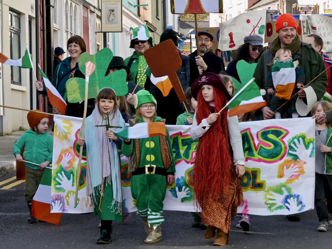
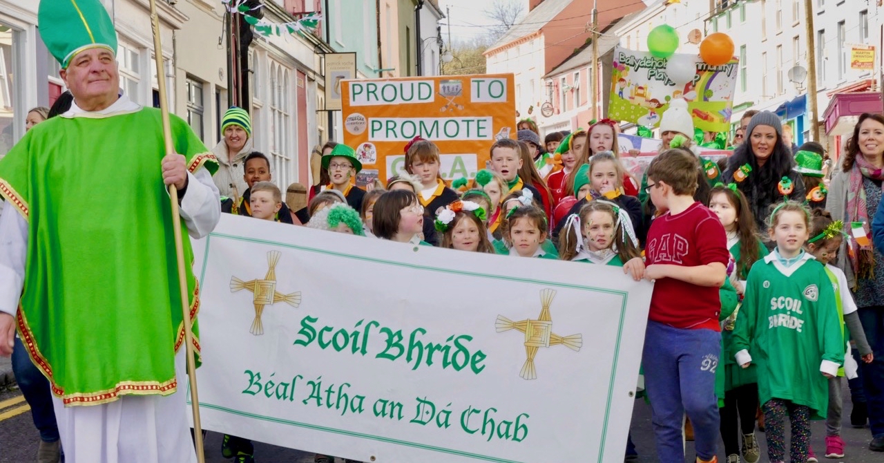
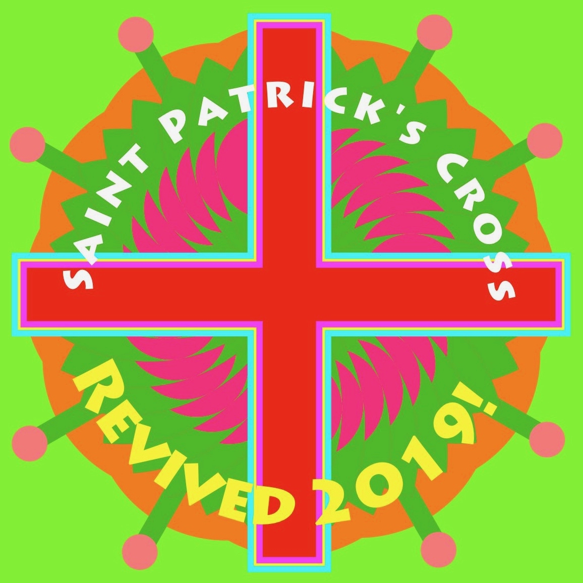
My final offering (above) – have I encouraged you all to get busy and help me revive this custom in time for St Patrick’s Day next year? I hope so . . . I’ll finish off with a couple of pics of a custom that’s still as strong as ever: the annual St Patrick’s Day Parade in Ballydehob, West Cork. Of course, the sun shone out!

Saint Manchan, his Miraculous Cow, and his Shrine

I was in the little two-horse train which labours west from Clara to Banagher and the outlook was desolate. There was another chap in the carriage. He sat hunched up in the corner with his nose to the window. One glance convinced me that it was useless to say anything and there the two of us kept on staring rather lovingly at a wilderness of bog stretching away to the Slieve Bloom Mountains. It seemed to me that there was a kind of promised land on the other side. On past a few scattered farm houses some grey boulders and the ruins of a church. I found myself thinking dismally enough of the tourists. After all what do they get? Just ruins, ruins and more ruins – the saddest ruins in Europe. Then suddenly I heard my friend of the opposite corner speak in a mournful kind of way with his nose still glued to the window – “That’s Leamanaghan, a quare kind of place, decent people, too, the best in the world, people who’d give you all the milk you could drink but wouldn’t sell a drop of it for all the gold in Ireland and it’s all by raison of a cow, Saint Manchan’s cow.”


(St Manchan By Tomas O’Cleirigh, Midland Tribune 27th April 1935)

Upper – Finola is featuring the work of stained glass artist George Walsh this week. We were fortunate to find his portrait of Saint Manchan and his cow in the  little church at Baher , Co Offaly, on our travels. Centre – The Church of Saint Manchan

(From Robert’s diary, 2012) – St Manchan had a Cow, a miraculous animal that was always in milk, and the people of Leamonaghan had the milk for free (and, to this day, will not charge anyone for a pint straight from the herd). We tramped through a field of cows as we searched for St Manchan’s holy well: they gazed at us with some disdain. The well is a curious affair – old stones, concrete and rather ugly. The water is alive with tadpoles. We were tentative as we sampled the rank, slow moving stream – but it gave us the gift of credulity!

This detail from the Harry Clarke Studio window at St Manchan’s Church (dating from 1931) shows the miraculous cow

I went through a storm of real Irish rain to see Leamanaghan that very evening. It is four miles from Ferbane in County Offaly and hidden away in a vast bog region which is dotted with scattered boulders of magnesian limestone. The general depression is summed up in the name – Liath Manchan – the grey land of Manchan. Aye! The grey, lonely, chill land of Manchan. Saint Manchan lived here and died in AD 664. That might have been only yesterday, however as far as the good neighbours are concerned because he is the one subject over which every man, woman and child can get really voluble. I was taken to see the ruins of his church and then down to his well and heard how when you are sick you should pray here, walk three times round it and then go back and leave a little present for the saint himself in the window of the church . . . I was told that on the 24th January when all the rest of the world works, the people of Leamanaghan just take a holiday and make merry because it would be the unpardonable sin to think of work on their Saint’s day.


(Tomas O’Cleirigh, 1935)

The twelfth century shrine of St Manchan securely displayed in the church today, with the Harry Clarke Studio window behind it

St Manchan died in a plague which he had asked God to bring on his sinning people. After his death, his herdsmen – Bohooly (from which the name Ua Buachalla – or Buckley – is derived) found it necessary to call upon the Saint to help recover the Community’s cattle, which had been stolen by raiders. Manchan duly appeared, but one of his faithful herdsmen was so overjoyed to see his old master again that he threw his arms around him. This he should not have done, as he was a mortal sinner: the Saint fell into a heap of dry bones, but the cattle were recovered. We learn that Manchan’s bones were gathered up and taken to Clonmacnoise, where a fine casket was made to house them, out of yew wood, bronze and gold. Nearly a thousand years later we stumbled on this same shrine in the little church at Boher which carries the Saint’s name, with a glorious representation of itself shining out from a Harry Clarke Studio window set behind it. It resided in a case of armoured glass, alarmed and watched by cameras  – incongruous…. and ineffective: the day after we saw it there the shrine was stolen in broad daylight, evidently after only a few minutes’ work. (Robert’s diary, 2012)

It’s wonderful that we can see the actual reliquary containing St Manchan’s bones returned to the church at Boher, Co Offaly, close to the ruins of the monastery at Leamonaghan which the Saint founded in the seventh century. Although it has suffered some damage over the centuries, the detailing is exquisite: it is one of Ireland’s finest medieval treasures 

They have all kinds of stories about the good saint but the best one of them all explains why Leamanaghan people don’t sell milk. Here it is: Saint Manchan had a cow – a wonderful cow that used to give milk to the whole countryside – good, rich milk for which no charge was ever made by the saint. Then, the people of the neighbouring Kil Managhan got jealous and watched for their chance. One fine day when Manchan was absent they came and stole the cow and started to drive her along the togher through the bog back home to Kil Managhan. The good cow, suspecting something was wrong, went backwards and most unwillingly, fighting, struggling and disputing every inch of the way. Now she’d slip designedly on the stones: again she’d lie down but every where she went, she managed to leave some trace of her rough passage on the stones of the togher. The marks are there to this day, – hoof marks, tail marks – every kind of marks and the chef-d’oeuvre of them all has a place of honour at the entrance to the little school. Alas! In spite of that very gallant resistance, the cow was finally driven to Kil Managhan. There, horrible to say, she was slain and skinned.


(Tomas O’Cleirigh, 1935)

The shrine wonderfully depicted in the Harry Clarke Studio window at St Manchan’s Church, Boher

Prior to being housed in the church the shrine had rested in an ancient chapel. This burned down, but the shrine was rescued and then was kept in a thatched cottage nearby: legend has it that the ruin of this cottage became the unprepossessing holy well that we had found . . . Miraculous cows; plagues; holy wells; a modern theft – St Manchan’s bones do not rest lightly in his casket. The stories tell that Manchan was a tall man with a limp. When the shrine was sent to the British Museum some years ago for refurbishment, the experts examined the bones and proclaimed that they belonged to a tall male who had suffered from arthritis. (Robert’s diary, 2012)

Remarkably, St Manchan’s Shrine has been exactly replicated. This full-sized copy of the reliquary is in the National Museum of Ireland: all the ‘missing’ figures and details have been restored. The drawing dates from 1867, and is a plate in a book titled The Towers and Temples of Ancient Ireland by Marcus Keane MRIA. In that book it is said that the copy belonged to Sir William Wilde, and it may well have been commissioned by him. It is likely that the Harry Clarke Studio modelled their version of the shrine on the replica, rather than on the original

In the meantime, the saint returned, missed his cow, and straightaway started in pursuit. He succeeded in tracing the thieves by the marks on the stones and arrived just at the moment when she was about to be boiled. He carefully picked the portions out of the cauldron, pieced them together, struck at them with his stick and immediately the cow became alive again. She was every bit as good as ever, too, except that she was a wee bit lame on account of one small portion of a foot which was lost. She continued to supply the milk as before, and, of course, no charge was made by the saint. Ever since the famous custom still lives on, and good milk is given away but never gold by the loyal people of Leamanaghan. Now, can any lover of the grand faith of Medievaldom beat that?


(Tomas O’Cleirigh, 1935)

A detail of the original Shrine in St Manchan’s Church

There’s one more piece to this Saint’s story: the fame of his miraculous cow grew and the people of neighbouring Kilmonaghan were jealous, and sent out some rustlers to drive the cow over into their own parish. The cow proved reluctant and stalled and slipped all the way, leaving hoof marks on the many stones that lay on the road. Those marks are still on the stones to this day (they say) and the Saint was able to follow her tracks and recover her. (Robert’s diary, 2012)

Saint Manchan, depicted in stained glass: Harry Clarke Studio (left) and George Walsh (right). Both can be seen in the church at Boher, Co Offaly

The very old vellum books state that Manchan of Liath was like unto Hieronomus in habits and learning. I can well believe it. Some distance away from the church is the little rectangle cell which he built for his mother – Saint Mella. Cold, austere and with no window, you get the shivers by even looking at it. There is also a large flag-stone on the togher leading from the well, and they say the saint and his mother used to meet here every day and sit down back to back without speaking a word because the saint had vowed never to speak to a woman!


(Tomas O’Cleirigh, 1935)

Fish Palaces – and How They Worked

Four years ago I wrote about the fishing industry that once flourished on the shores of Roaringwater Bay (and around much of the west coast of Ireland): according to extant records it was active before 1500, and probably had its heyday in the seventeenth century, when it was heavily invested in by the Great Earl of Cork (Richard Boyle, sometimes described as ‘the richest man in the known world’). In those days, pilchards were the main catch: huge shoals of them came to the comparatively warm, sheltered waters of the islands during the summer months, along with other oily fish such as herring and mackerel. Seine boats were commonly used for this enterprise. Today, pilchards are rare: through a combination of overfishing and changing climate, the bountiful shoals no longer appear.

Header – pilchard curing in St Ives, Cornwall c1890: the pilchards are piled up in layers, forming the huge mound in the centre of the photograph. They are salted and weighted down. Above – curing the fish, Valencia Island, Co Kerry, early 20th century (Reddit / Ireland)

Shooting the Seine:

There were two boats per seine net, the seine and the faller. The seine boat was 27 foot long with a beam close to nine foot. The golden rule on the Northside was to never get into a boat whose beam was less than one third its length. The seine boat had five oars of about 17 foot (bow, Béal-tuile, aft, bloc and tiller oars). The crew of seven had to shoot the seine net; one man shooting the trip rope, another to feed out the bunt rope, four men rowing and the huer (master of the seine and captain of the boat) directing the operation. The faller (or bloc) boat was 24 foot long with a crew of five. Its job was stoning and to carry any fish caught. The largest load a faller could carry would be around 5,000 fish. All boats carried a Crucifix and a bottle of Holy Water.

(from Northside of the Mizen by Patrick McCarthy & Richard Hawkes, 1991)

Twentieth century remains of a seine boat, from Northside of the Mizen

If the fish are gone, remains of the machinery of that industry are still to be seen. In particular, the sites of some of the curing stations – or Fish Palaces – are visible, and are recorded on the National Monuments Archaeological Survey Database. Take a look at the map below: I have drawn green pilchards to show the sites of fish palaces mentioned in the database – eleven in all on this section of the map. Also shown by red pilchards, however, are the sites of another six ‘curing stations’: these are mentioned in a long article by historian Arthur E J Went, Pilchards in the South of Ireland, published in the Journal of the Cork Historical and Archaeological Society in 1949: Volume 51, pages 137 – 157.

Known sites – or historical mention of – fish palaces (curing stations) in the South West of Ireland (information from  National Monuments database and  Arthur E J Went, Pilchards in the South of Ireland 1949)

The active fishing of pilchards on a large scale in Ireland has been discontinued for many years so that, unlike Cornwall, there is little left, apart from published records, to indicate its former importance. There is, however, published information as to the methods of fishing, and a few sites of old curing stations, frequently called pallices, can still be identified.

from Arthur E J Went, Pilchards in the South of Ireland, 1949

Arthur Edward James Went (1910–80), noted fisheries biologist and historian, lived at Sandycove, Co Dublin. In 1936 he was appointed Assistant Inspector of Fisheries in the Department of Agriculture, Dublin, and later was promoted to the position of Scientific Adviser and Chief Inspector of Fisheries

As explorers of all things historic and archaeological – particularly in West Cork – Finola and I couldn’t resist visiting some of the sites of Palaces – or Pallices – documented in these studies. We have always know about the one nearest to Nead an Iolair, in Rossbrin Cove – it’s just down the road: a perfect sheltered harbour, although it does dry out at very low tides. However, there seems to be some debate about exactly where this one is located. It would date from the time of William Hull and the Great Earl of Cork, so how much would be left after 500 years? There is a field on the north shore of the Cove with an old name: The Palleashes which, according to Arthur Went (quoting local tradition), was the site of a curing station for pilchards, operated by the ‘Spaniards’. There seems to be some difference of opinion locally as to which of the many small fields here is the actual site, although it is likely to be close to the large, now modernised quay, as this shows up on the earliest maps.

In the upper picture: the quay at Rossbrin is still used by small fishing boats today. Centre – the field above the present quay may be The Palleashes, and therefore could be the site of the medieval fish palace: there are very overgrown signs of stone walls here. Lower picture – the old 6″ OS map, surveyed around 1840, shows a lane accessing the area above the quay (to the left of the ‘Holy Well’ – that lane is no longer there today) and there are buildings close to the shore which could indicate the palace. In 1840 there was no road running along the north shore of the Cove, but the strand at low tide would have been used as a thoroughfare. Just above the ‘Holy Well’ indicated on the shoreline – and slightly to the right – is a small red dot. This is the area shown by Arthur Went as the possible site of the fish palace (and subsequently marked as such on the Archaeological Database); in my opinion it is more likely to have been directly accessed from the water.

A sure sign of the site of a fish palace is a line of perforations or holes – as can be seen above at Baltimore, where a substantial curing station is recorded (although it may only date from the nineteenth century). Large timbers were inserted horizontally into these holes to form a ‘press beam’ to provide leverage for bucklers to squash out the oil from the salted pilchards, as shown in Arthur Went’s diagram, below:

The ‘Train Oil’ – produced from the compressed pilchards – was a valuable commodity, and was collected to be stored and used for treating leather, and as fuel for lamps. As a by-product of the pilchard industry it was said to be as valuable as the fish themselves.

Palace Strand, in Schull

To continue my researches I went along to Schull, where Arthur Went mentions a ‘Palace House’ on ‘Palace Strand’ – an inlet just to the east of the main harbour. This is right beside the old railway station which was not quite the terminus of the Schull & Skibbereen Railway, as a spur went on from the station to serve the harbour itself. The station buildings and part of the platform are still there – now a private residence. I could not find anything in the area shown on Went’s map at the east end of the strand, but I did find something at the west end.

In the upper picture is a wall on the western boundary of the old station site in Schull. This contains beam holes very similar in size and spacing to those we have seen in fish palaces elsewhere: it’s very tempting to think that this wall – now part of a derelict building – may have had this purpose, as it is well situated close to the shoreline of Palace Strand. If this was a fish palace, it is also likely to date from the nineteenth century, as the early Ordnance Survey maps don’t indicate it. The centre picture shows the old station buildings today, and the lower picture taken at Schull Station in 1939 reminds us of past times: the railway closed in 1947.

This post is a ‘taster’ for a fully illustrated talk I’m giving at Bank House, Ballydehob, on Tuesday 26 February at 8pm: Pilchards & Palaces – 300 years of Fishing in South-West Ireland. It’s part of the Autumn series of Ballydehob’s ‘Talks at the Vaults’

Below – a postcard showing fish curing on Cape Clear in 1906 (from Hely’s, Dublin)

Through the Yellow Gap

The middle of January: you might expect to be battened down here in West Cork with raging gales or bitter north winds, but Saturday dawned with a clear sky to reveal a most beautiful sun-warmed landscape. We had to be out! We adopted exploring mode and headed for the hills to the north-east of Bantry. OS Map 85 entices with a whole swathe of archaeological sites from megalithic tombs to stone rows and circles, but it was a name that drew us: Barrboy – probably from the original Irish barrabhuidhe – which means ‘yellow summit’. As the highest point of the road in that place (pictured below – about 350m above sea level) is a mountain pass, we have chosen to name our journey Through the Yellow Gap.

The ‘Yellow Gap Road’ runs west to east across the centre of this extract from OS Map 85: we turned on to it from the N71 at Lahadane, just north of Bantry, and dropped back on to the main road to Drimoleague south of Coolkellure

The first part of our route followed the Mealagh river and we were intrigued by the boreens that cross it in places over very fine stone arches: these will have to be explored another time – we were aiming for the hills.

Our day offered us a study of light and landscape, which only the combination of January low sun and shadows can give. If anything the yellowness of the uplands with their rocks, mosses and furze is emphasised by this light: Finola is sure that the colour is due to the fionnán (blonde) grass which is so prevalent during the winter months (header picture). We felt we were in a very remote place, known only to those who spend their lives there, but we were in fact barely a hop and a skip from our own home.

Studies in light and landscape: with a different vista at every turn we were treated to outstanding views typical of rural Ireland

As is so often the case with our off-the-beaten-track excursions, we saw hardly anyone in the whole day, but we did chance to bump into our cycling friend Tim who is in training for yet another Everesting event. The rules are straightforward:

. . . The concept of Everesting is fiendishly simple. Pick any hill, anywhere in the world and ride repeats of it in a single activity until you climb 8,848m – the equivalent height of Mt Everest. Complete the challenge, and you’ll find your name in the Hall of Fame, alongside the best climbers in the world . . .

Tim on his way up the Yellow Gap Road (also known as Nowen Hill). He has to do this climb 56 times in one go to achieve the ‘Everest’. In fact, his aim is to do a ‘Double Everest’ on this hill! This will be his third Everesting event in West Cork… Good luck, Tim

Our travels took us through some very attractive ‘deep’ countryside dotted with cottages and small settlements. Humans have been here for a very long time and have left evidence of their occupation in enigmatic standing stones, alignments, circles and tombs. Some can be seen from the roadside, but many involve explorations across fields or into forests. Always, we are left wanting to know who these early settlers were and why they left us these monuments.

Upper pictures – single standing stones which can be seen from the roadside; lower picture – a five-stone circle and a two-stone alignment on high pasture land: all are ancient and mysterious

As the road threaded its way through the gap and began to descend we seemed to re-enter a less wild landscape, and habitations became more frequent. Eventually we found ourselves in a small community – Coolkelure – with a great sense of history. there was a fine C of I church, a school which had been in use until the 1950s, and an avenue leading to a large house which has had a chequered history, There is an entry in Duchas (the Schools Folklore Collection) about this village:

. . . Coolkelure is situated about four miles and a half west of Dunmanway. There is a holy well at the side of the road but it is covered in now with briars and bushes. Its origin is unknown. There are three steps going into it and there are medals, pieces of cloth and pennies up on a stone over the well. About twenty feet in from it there are rocks nearly a thousand feet high. It is said that a giant lived there in olden times. On the other side of the road is a marsh and the giant is supposed to be buried there. There is a huge stone over his grave. Further on is Coolkelure House. This formerly belonged to Shouldhams, now it is the property of Lady Bandon. The avenue looks beautiful in summer and it is hedged with rhododendrons of every hue . . . (Joan Collins, aged 12 years, from Patrick Collins, aged 60 years – c1934)

Upper – Coollkelure Church; centre – the Lodge at the gateway to Coolkelure House; lower – one of many fine gargoyles on the eccentric Lodge

Well, we didn’t see the holy well, the thousand feet high cliff, the giant or his grave. But we did see rhododendrons – large thickets of them – all the way along many of the roads we travelled. They must look very striking when in bloom in the springtime, but they are an invasive species which threatens the true natural hedgerows. In Coolkelure, also, occurred one of the highlights of our day. We met and got into conversation with Donal and Caitriona – a most hospitable couple who own a small house overlooking the lake. They invited us in, we were given coffee and cakes, and the chat was mighty!

Upper – looking back at our way through the mountains; centre – an example of the many stands of invasive rhododendrons that we encountered and lower – the road becomes tamer as we approach a pastured landscape

We left Coolkelure and headed out of the hills, feeling fulfilled by all the events of the day. Our adventures were not quite over, however, as we encountered Daisy and her owner with their ‘road-car’, delighted that we stopped to photograph them (below). In fact, between us we took at least two hundred photographs on our day out and can only include a modest selection on these pages.

Off the M8 – The Great Dolmen of Kernanstown

Our ‘Off the M8‘ series is intended to make your journeys across Ireland far more interesting! We travel between Cork and Dublin fairly regularly and, each time, we determine to search out something new. It may be an aspect of medieval history, architecture, stained glass or – as in today’s example – archaeology.

How far you want to stray from the ease and directness of the motorway in your explorations is entirely up to you. This diversion will add about forty minutes to your journey: you will leave the M8 at Junction 3, head across to Carlow on the R430, and then, after Carlow, meet the M9 at Junction 4 and continue up to Dublin. You’ll have to take a little diversion east out of Carlow on to the Hacketstown Road (R726) to find today’s destination: the largest prehistoric portal tomb in Europe, and perhaps in the world!

Robert stands at the east face of the megalithic structure: the orientation suggests a relationship to the rising sun, possibly at significant calendrical events

It’s known variously as the Brownshill Portal Tomb, or the Kernanstown Dolmen (Kernanstown is the name of the Townland, and the word ‘Dolmen’ was formerly used to describe megalithic structures which consist of a large stone slab resting on smaller boulders). The Irish National Monuments Service, in its listing of the Archaeological Survey of Ireland, has set out to regularise the names given to various structures. It does not recognise the once widely-used terms ‘Dolmen’ or ‘Cromlech’, but defines a variety of ‘Megalithic Tomb’ structures, of which the Portal Tomb is one:

. . . A single, short chamber formed by two tall portal-stones, two sidestones and a backstone. Sometimes a stone between the portals closes the entry. The chamber is covered by a roofstone, often of enormous size, which slopes down from the front towards the rear. Cremation was the preferred burial rite and these date to the Neolithic from 3800 to 3200 BC . . .

Finola is giving scale to the portal tomb in the header picture, where the two ‘portal stones’ and central ‘gate stone’ support the east side of the capstone: these features are common to these structures across Ireland, Britain and Europe. Above – the back (west face) of the capstone: Finola is standing at the southern tip

Historically, ‘Dolmen’ was the most common term for these archaeological structures. William Copeland Borlase (1848 – 1899) wrote a lengthy treatise in three volumes on The Dolmens of Ireland, their Distribution, Structural Characteristics, and Affinities in Other Countries; together with the folk-lore attaching to them and traditions of the Irish people published in 1897. In it, he describes the Brownshill / Kernanstown structure thus:

In the Barony of Carlow, in the Townland of Kernanstown, and Parish of Urghin, two miles E. of Carlow, to the N. of Browne’s Hill, or Browneshill House, also called Mount Browne, are three dolmens. The largest of the three is marked Cromlech in Ord. Surv. Map No. 7.

There are three dolmens on this hill. One is of enormous proportions, the two others are smaller. The former has been described by Ryan, Ledwich, and G. Du Noyer. Of one of the latter there is a drawing and plan in Miss Stokes’s collection of drawings of dolmens. The remaining one is situated a distance of 50 yards to the N. of the latter.

The great dolmen stands in the centre of a large flat field in permanent pasture, and has no trace of a bank or cairn near it. It consists of a splendid block of granite, the longer axis of which is N. and S., raised at an angle of 35 degrees to the horizon, upon four blocks, three of which, pillar-like, support the E. side, at a height of 6 feet above the floor, while one sustains its lower and W. side, at a height of only about 2 feet above ground.

The following are my measurements of the block thus elevated into position: Superficial measurement from N.E. to S.W., 23½ feet; ditto from N.W. to S.E., 22 feet; girth 65 feet; thickness at W. side, 6 feet; at S. side, 5 feet; at E. side, 6 feet; and at N. side, 4 feet.

. . . it is, I believe, the largest block raised from the ground by the dolmen-builders which is known, not only in the British isles, but on the continent of Europe

Two picture postcards of the ‘Brown’s Hill Dolmen’ probably dating from the late 19th or early 20th century

Today, there is only one portal tomb visible at Brownshill, although the National Monuments listing confirms that there were three in the area at one time. I was intrigued to find this engraving:

There is no ‘Brownstown’ in County Carlow, so it is likely that this engraving (above) is another version of ‘Brownshill’. It’s hard to see in this the portal tomb we have been describing, so it is possible it is an image of one of the other ‘lost’ dolmens. There is no further information attached to this illustration.

The two illustrations above show how the portal tomb is today enclosed and made accessible by means of a fenced pathway leading from the road to the east of the structure. This setting is not ideal: the impressive nature of the huge capstone is visually diminished by the fencing – although the provision of good disabled access to the monument is highly commendable. The massive granite stone has been estimated to weigh up to 160 tons, and we can only wonder at the methods used to lift it some 5,000 years ago. Here is an imaginative view (dating from the nineteenth century) of a megalithic tomb being built:

Celtomania is an expression which has been used by some antiquarians to describe the use of megalithic structures by ‘Druids’ and ancient races for ritual purposes. This fanciful scene by Edward King (above) shows ancient warriors, sickle-wielding and harp-playing druids, oak trees and standing stones – and a ‘dolmen’. It is taken from a 1969 book on megalithic structures in Brittany which I purchased in my travels there in the 1970s: Carnac ou les mésaventures de la narration by Denis Roche.

The ‘chamber’ of the Brownshill monument is visible when viewed from the south (top photo, above). This structure has never been excavated so we cannot say for sure that it was used to deposit human remains or cremations; in tombs elsewhere, excavations have revealed such a use in some, but not all. It has been suggested that all such structures were fully or partly covered in earth or stone, as implied in the example from Brittany below:

The structure at Brownshill, County Carlow must surely be one of the wonders of the megalithic world. It’s hard not to think that the sheer immensity of the raised capstone would require it to be seen so that the labour involved in its construction is appreciated. These stone edifices were the earliest architecture in the world of our settled ancestors, and the first examples of engineering prowess: one of the reasons for their existence must have been the demonstration of power and knowledge.

Above – a dolmen in Brittany (where they are still known by that name!) demonstrating a reversal of the principles of construction at Brownshill. In the Irish example, the huge capstone is supported by comparatively slender uprights; in France the capstone, although also substantial and heavy, sits on very large portal stones. The result is visually impressive in a different way.

Here in Ireland there are many more examples of portal tombs waiting to be visited and reported on: they are on our list.

West Cork Obscura – Robert’s Choices

‘Hidden West Cork’ and ‘off the beaten track’ have been oft-used phrases in our posts – and that’s part of our mission with Roaringwater Journal: exploration of some of the more secret places, and researching and recording their stories. Finola has looked out her own favourites; my current choices are here – although, with 569 posts written to date between us, we could have picked out so many.

Header and above – one of the discoveries which made a great impression on me during the year was Tralong Bay, out beyond Glandore and Drombeg: it’s a beautiful piece of the coastline, at the end of a cul-de-sac and – it seemed to us – very little visited. But to visit is to transport yourselves back thousands of years as, on the beach and exposed at low tide, are the remains of an ancient forest. Here is the post.

A quirky discovery, not too far away from Tralong, was the pyramid-shaped mausoleum in the old burial ground at Glandore. For us, ancient graveyards are treasure troves of local history. This one – a peaceful and secluded place well worth a visit anyway – conceals an enigma: find the story here.

The Rock Art at Castlemehigan in its spectacular setting (above). Below is a close view of some of the markings on the rock

Delving back a few years, I found this December post on a visit to a spectacular example of Rock Art at the far end the Mizen Peninsula: Castlemehigan. The cupmarks on this earthfast boulder are impressive and the view from it is spectacular, especially on the clear winter day that we were blessed with. The rock was also in use as a Mass Rock during penal times, and there is evidence of this on the surface. We were told a story about those times by Florence O’Driscoll, whose land the rock is on. Make sure you have permission to visit if you go!

Finola managed to combine her consuming interest in wildflowers with industrial history and an account of a very special walk on the Sheep’s Head. It’s one of the marked trails on that peninsula – and takes in the deserted settlement of Crimea where a cottage has been partially restored (picture above) – finishing at the abandoned mine workings at Gortavallig, perched precariously on the very edge of a cliff (below). Here is the link to Finola’s post.

Here am I trying to get my head around the enigmatic ‘Rolls of Butter’ (above). I have to admit they are in Kerry (only just), but involved us travelling one of our all-time favourite roads, much of which is actually in West Cork: that’s the Priest’s Leap Road which runs over the mountains from Bantry (more or less) to Kenmare (more or less). We go out of our way to use this road because of the superb views – and a special piece of folklore – but, if you give it a try, be prepared for a narrow and steep journey (below)! Here is the post.

Archaeology dictates many of our outings. One of the less well-known monuments is Ardgroom Outward Stone Circle (pictured above and below) on the Beara Peninsula. This year, following a harsh winter, the weather turned sublime, and we have travelled extensively to make the most of it. We find ourselves often drawn to the Beara (much of which is in West Cork). This post describes an expedition which included stone monuments, colourful villages, stained glass – and ice cream! Have a look.

It was almost five years ago that we first reported on one of our perenially favourite West Cork locations: Gougane Barra (above). It’s a holy place – an alluringly beautiful lake sited in the Shehy Mountains, close to the source of Cork’s special River Lee. Here, in the sixth century, Saint Finbarr set up a collection of cells for his monastic community on an island. Here, also, lived the couple ‘The Tailor and Ansty’, immortalised in a book written in 1942 by Eric Cross. It’s a not entirely happy story as the book was banned because of its down-to-earth portrayal of the facts of life, and storyteller Tim Buckley (‘The Tailor’) was forced to burn his copy of it in front of the local priests: the incident led to an abrasive debate in Seanad Éireann on censorship. This story is, perhaps, one of the less well-known historical aspects of West Cork (and Ireland), but visit Gougane Barra for its beauty – and make sure you find the gravestone of ‘The Tailor & Ansty’: it was carved by their friend Seamus Murphy and bears the inscription . . .  A Star Danced And Under That Was I Born . . .

We hope that, between us, we might have given you some good ideas for exploration of our wonderful West Cork landscapes and – perhaps – encourage you off the highways and on to the byways: there are so many adventures to be had, summer or winter. Travel Well!