Ireland’s Finest Prospect – The Story of Ballyfin Demesne, Part 1

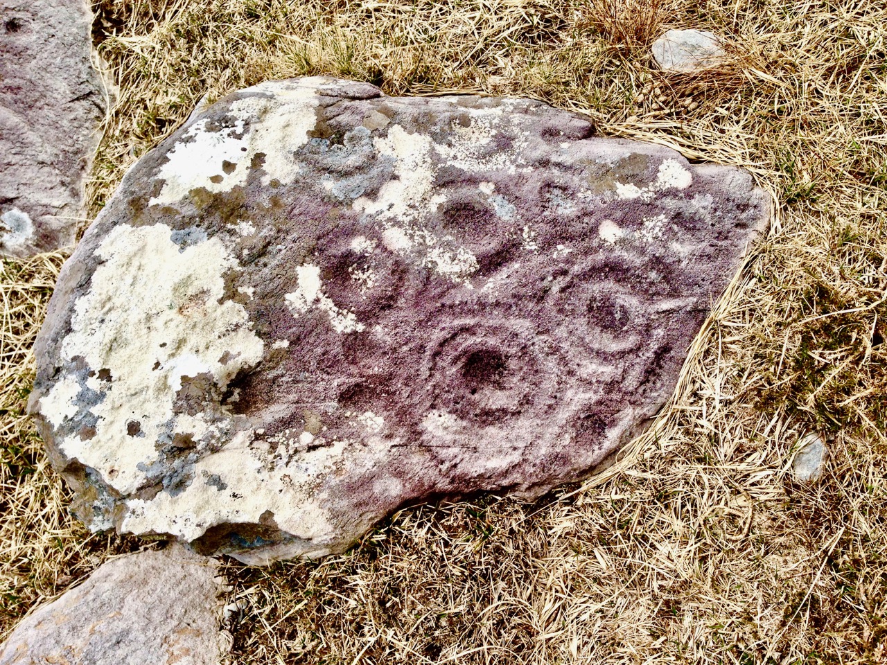
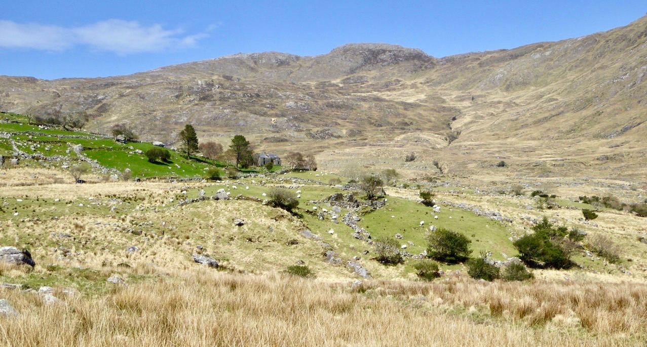
There are two reasons why Ballyfin, in County Laois, was high on our list of Important Places To See In Ireland. One was the story that the name – An Baile Fionn in Irish – could mean ‘The Place of Fionn’ – and there is a legend that the great warrior Fionn Mac Cumhaill was raised here, in the foothills of the Slieve Bloom Mountains. Fionn has left behind him so many traces all over Ireland that the place where he was – perhaps – born and grew up deserves pilgrimage status.

A place fit for a legendary Irish hero? Ballyfinn has associations with Fionn Mac Cumhaill. The lake which is central to the prospect from Ballyfin today was constructed by William Pole in the second half of the eighteenth century

An alternative translation of An Baile Fionn is ‘The White Town’, and the location has long had a reputation as a place of great beauty. Emily Fitzgerald, the Countess of Kildare – a remarkable lady who was illegitimately descended from King Charles II and who bore twenty-two children – wrote in 1759: 

. . . Yesterday, I saw a most delightful place indeed, much beyond any place I have seen in Ireland – Ballyfin . . .

The beauty of the Irish Midlands in the eighteenth century: Ballyfinn House can be seen in the centre distance of this pastoral view from 1784: beyond are the Slieve Bloom Mountains (painting by William Ashford)

In medieval times Ballyfin belonged to the O ‘Mordha clan but was lost during the Tudor conquest of Ireland. The process of Plantation (in which areas of the country were to be settled with people from England, who would bring in English language and culture while remaining loyal to the crown) was first implemented in Laois – then known as ‘Queen’s County’ after Queen Mary I – in the mid sixteenth century. It was a complicated and unstable period in British and Irish history, and Ballyfin saw many possessors ascend and fall until in May 1666 the estate of approximately 3,500 acres was conferred on Periam Pole, a recent arrival from Exeter in Devon. Pole and his son William expanded the estate, built a ‘modern’ house and reshaped the entire gardens and demesne. William planted woodlands and constructed the 30 acre artificial lake which is there to this day. The improvements were ‘grand and expensive and their designs were elegant’.

A view of Ballyfin engraved by William Beauford and published in 1794 shows the woodland, landscaped grounds and lake. The house  – which the Poles extended and improved – was described as ‘a rambling Georgian house’ although with no particular architectural merit

In the time of the Poles, Ballyfin began to build its reputation as one of Ireland’s grandest estates. However, it was not until the Poles were succeeded by the Cootes, in 1813, that the significant architectural statement that is Ballyfin today came into being.

Progenitors of Ballyfin: left – William Pole who died in 1781 (artist unknown) and right – Sir Charles Henry Coote who died in 1864 (artist John Hoppner). The legacy of these two families is a house and demense which are acknowledged as outstanding examples of their period – probably the finest in Ireland

Sir Charles Henry Coote already owned substantial estates close to Ballyfin, and it was timely and appropriate that he was able to purchase the demesne. He employed the father and son team of Richard Morrison and William Vitruvius Morrison as architects to rebuild the house, which is widely acknowledged as one of the most important examples of nineteenth-century neo-classical architecture in Ireland and is famed for its elaborate interior design.

A print showing the ‘new’ house designed by the Morrisons in the neo-classical style (1828 British Library). below – views of the house today

The picture above shows the west elevation of the house with the finely-wrought conservatory that was added in around 1855, designed and constructed by ironfounder Richard Turner, who was also responsible for the great Palm Houses at Kew and Belfast Botanic Gardens and the range of glasshouses at the Irish National Botanic Gardens at Glasnevin, Dublin. It’s my favourite part of the architecture – lightweight and elegant: seemingly timeless – it could be a contemporary structure.

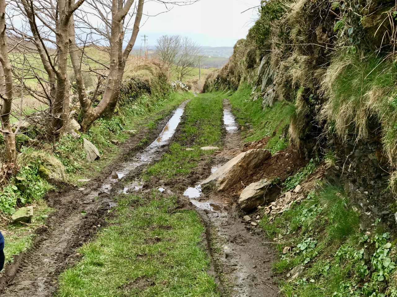
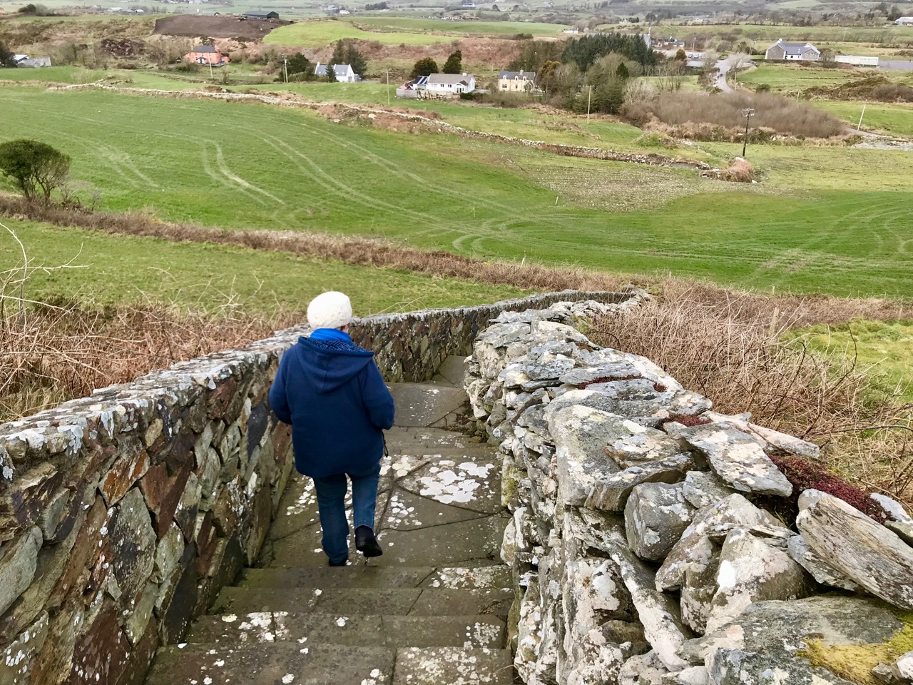
Fine though the house is, it would fail without its context. The demesne is so important as a setting for the rather uncompromising architecture of the elevations. Finola has looked at the grounds and the surroundings. But it’s also the interior that sets Ballyfin apart as an icon of its time.

The Library at Ballyfin: upper – in Victorian days (Coote Archive); lower – splendidly restored, today

The Saloon: upper – a sketch from c 1855 by the Marquis de Massigny de la Pierre (Coote Archive); lower (and header picture) – the restored Saloon forms the centrepiece of the house today. Note the magnificent parquet floor

The Entrance Hall incorporates a Roman mosaic pavement: one of the art treasures brought over by Sir Charles Coote from his Grand Tour of 1822. The hall also displays a far more ancient antiquity: the antlers of Megaloceros Giganteus – the Irish Elk, recovered from an Irish bog and some 10,000 years old!
Details from the superbly restored marquetry flooring in the saloon – the most exotic examples to be found anywhere in Ireland

The first part of our story ends with the Cootes: the family owned Ballyfin until the 1920s. But there’s much more to tell about its succeeding time as a school – periods of neglect and decline – and, most remarkably,  its revival and return to distinction through one of the most complete and elaborate architectural restoration projects undertaken in Ireland in the 21st century. Ballyfin is now a first-class 5 star hotel where attention to detail in the service it offers is absolute: it has justifiably won many accolades and awards.

Afternoon tea on the Dining Room terrace at Ballyfin, c 1903 (Magan Collection)

The story of Ballyfin has been expertly and completely documented by Kevin V Mulligan in the volume Ballyfin – The Restoration of an Irish House & Demesne, Churchill House Press 2018. We are indebted to this author and his work. The architectural restoration and the incarnation of the house today is described in Part 2 of this post: Decline and Revival.

The Elemental World of Cormac Boydell

Perched on the very edge of Europe and facing into the Atlantic Ocean, the far west of Ireland is a terrifyingly beautiful place to set down your roots. Our own little spot, overlooking the comparatively calm reaches of Roaringwater Bay, faces into the winter gales and it’s a constant fight to keep the weather out: always a losing battle. But, could we live anywhere else? Certainly not. This week we met up with Cormac Boydell and Rachel Parry – two artists who live just about as far away as it is possible to be in wild West Cork. Like us, they battle with the elements; like us, they couldn’t envisage living anywhere else.

Cormac Boydell (header picture – in his studio) and Rachel Parry live on the edge of Ireland: their cottage and lush gardens feel as if they are carved out of the mountainside to seek maximum shelter from winter storms. They are well off the beaten track close to the end of the Beara Peninsula: the nearest settlement is Allihies (from the Irish Na hAilichí, meaning ‘the cliff fields) which was a centre for copper extraction in the Bronze Age and from the beginning of the Industrial Revolution when generations of Cornish Mine Captains came here to manage the mines, providing work for a substantial local population.

Connection with the landscape is something that’s inherent in the make-up of Cormac Boydell. It must be significant that he started out studying and working as a geologist – getting to know the physical fabric of the rocks and the earth around him – before setting out on a more creative path, working with those very elements to produce exuberantly robust ceramic sculptures which are unique and highly sought after.

Cormac’s tools are his hands. He works raw terracotta clay and crafts the shapes of his pieces without wheel or mould. He applies colours and – most importantly – textures into the surface, and firing provides the finishes – not always predictable. For him, this is all part of the living process. But that’s the physical process: into the whole equation, also, are his close observations of the environment around him – the geology, textures and colours of the rock surfaces from the natural and cultivated landscapes. He sees the way rocks break and how they weather – how time is an element in their metamorphoses. Somehow, into all this surveillance and appreciation of nature he also makes stories. He finds inspiration in ancient sagas, particularly those from Ireland, as we saw in the exhilarating work on the walls of his studio.

Cormac Boydell is one of the important group of artists who came and settled in West Cork during the second half of the last century – a group whose lives and work have yet to be properly celebrated. Like many others of this group he has stayed for life and contributed to raising the profile of art produced in Ireland. In a catalogue of work produced by West Cork artists and displayed both in Skibbereen and the Crawford Gallery in Cork 30 years ago – Living Landscape ’87 – he writes this of his own contribution to that exhibition:

. . . Landscape is not the first term I would apply to my work. However I always welcome challenge. Breaking new ground stimulates creativity where repetition kills it. Experimentation, welcoming both failures and success, working out beyond the boundaries of my vision… that’s the excitement of art making. Using rock and fired clay as elements of the landscape, “Earthbone” expresses the spirit from which the landscape is formed . . .

Alison Ospina wrote in 2011 in the introduction to her book West Cork Inspires:

. . . Hidden down the leafy lanes of West Cork I have found artists whose work is of the highest calibre and should be considered of national importance . . . I have selected people working in a variety of media whose work has had an impact on other craftspeople and has been influential in developing West Cork’s reputation for excellence and originality . . .

In her book she writes of Cormac Boydell:

. . . Cormac’s work is organic and elemental, the earth is its source. It resonates across millennia from when the bedrock of this country was being laid down and speaks of torsion and vortices, glacial drift and the alchemy of fire. It taps into the energies of nature, to which it is inextricably linked . . .

One of my favourite new pieces from Cormac Boydell is this large plaque inspired by the story of the Irish Saint Éinne (also known as Saint Enda): the patriarch of Irish monasticism. He is the brother of St Fanchea (see Finola’s post about Irish women saints) and was a warrior until Fanchea persuaded him to lay down his arms. He went to Aran in 484 and founded the first monastery there but the local chieftain Corbanus intervened. Éinne’s response was to banish all of Corbanus’s horses from the islands. This is the scene which Cormac has illustrated and it’s one of a recent series which is based on myths and legends.

You could own a piece by Cormac Boydell! This ceramic – based on a story from the Finn McCool cycle – has been purchased by Uillinn, the West Cork Arts Centre gallery in Skibbereen, and will be on display there from this week until the end of the Art & The Great Hunger Exhibition which runs from 20 July to 13 October. While the gallery is open you can purchase draw tickets at only 5 Euros each: the prize, which will be drawn on the last day of the exhibition, is the Boydell ceramic. What an opportunity – every ticket stands an equal chance of winning this unique work of art! And all your contributions will be supporting the activities of the Arts Centre.

With grateful thanks to Cormac and Rachel for allowing us a glimpse into their world

Sun’s Out!

On one April day after a bleak, harsh winter that had gales, hurricanes, blizzards and unceasing bitter east winds thrown at us – the sun came out! We were out too, and headed up to the Beara Peninsula to see if we could remember what sun-soaked landscapes felt like… They felt great!

Header – the glories of Cork and Kerry combine on the spectacular Beara; top photograph – finally, after a long,harsh winter, we see the spring blossoms appearing; middle – a wayside shrine on the road out from Glengariff; bottom – Hungry Hill dominates the views as we head west on the peninsula

You will remember our previous visits to the Beara: there are not enough superlatives for what it has to offer in the way of stunning scenery and colour. None of these photographs have been enhanced – what you see is exactly what we saw on the day – and it’s what you will see, too, if you choose aright (although even on dull days we always find plenty to interest us).

Top photograph – St Kentigern’s Church is in the centre of one of Ireland’s most colourful villages; middle – the sunlight plays games with the beautiful windows by glass artist George Walsh; bottom – light from the windows dances on the pews

We knew where we were going: Finola was keen to revisit the little Catholic church of St Kentigern in Eyeries, which has a fine collection of windows by George Walsh: it’s a gem – and at its best for the quality of the light enhancing it on the day. I wanted to see the settlement itself in the early spring sunlight as it’s one of the most colourful places in the whole of Ireland! Neither of us was disappointed.

Just a taster of the treats in store in Eyeries: on a beautiful spring day there was hardly a soul around, but we were still able to find an ice cream in O’Sullivan’s!

Our second objective was to travel into the hills and find Ardgroom Outward stone circle. The trail involves farm gates, stiles and a lot of mud – but the 9 stone circle (named locally ‘Canfea’) is a fine, almost intact monument with wide vistas to mountain and sea. The impressive outlier stone is 3.2m in height.

The magnificent Ardgroom Outward (or ‘Canfea’) stone circle is accessible via a marked, boggy path: the vistas from the site make the journey worthwhile. Finola is dwarfed by the huge outlier!

It’s barely a skip up to Eyeries from Nead an Iolair, so we had to carry on around the peninsula and take in the almost surreal views of oceans, lakes and mountains before dipping into Kerry and then heading over the top back into Cork county and down the Healy Pass – surely one of Ireland’s most spectacular road trips.

Returning home – with the evening sun setting gloriously over Roaringwater Bay – we reflected that there can’t be many places in the world where a single day can offer such a feast to satisfy all the senses.


Rock Art: Returning to Derrynablaha

Three years ago Finola and I both wrote posts about a remote valley in the Kerry hills, north of Sneem, where some iconic examples of Irish Rock Art can be found: Derrynablaha Expedition by Finola, and my own Glen of Ghosts. I think it’s time to revisit this hauntingly beautiful place, and its ancient carved stones which could date back 5,000 years, to Neolithic times.

All the examples of Rock Art illustrated in this post can be found in the townlands of Derrynablaha and Derreeny, Co Kerry

When Finola visited the valley in 1972 and 1973 she explored and recorded 23 marked stones, all within the townland of Derrynablaha: these were illustrated in her UCC thesis The Rock Art of Cork and Kerry. Between 1986 and 1996 The Iveragh Peninsula Archaeological Survey undertook further detailed research, resulting in a comprehensive volume published by Cork University Press: this contains a 30 page section on Rock Art and includes many of Finola’s drawings. The book lists 26 known examples, now, in Derrynablaha with a further 7 stones in the adjacent townland of Derreeny.

Cork University Press volume (left) which includes many of Finola’s drawings (sample page,right)

My introduction to prehistoric Irish Rock Art came in the early 1990s when I first visited West Cork to look at a piece of land which my friends Danny and Gill had purchased, with a view to building themselves a house: I was to be the designer. We walked the 5 acre site at Ballybane West and discovered a large, flat outcrop of rock some 30 metres long by 10 metres wide, the surface of which was covered with strange carved motifs. These intrigued and occupied me for many years. Eventually I made contact with the Department of Archaeology at University College Cork and unearthed Finola’s thesis. Finola had visited ‘Danny’s Rock’ during her explorations: she and I have just completed a comprehensive article on Rock Art in the environs of Ballybane West for a forthcoming edition of the Journal of Bantry Historical Society, due to be launched on 10 May.

Because of the number of pieces of Rock Art at Derrynablaha, as recorded by Finola, I set out to visit the site and was fortunate, I think, to locate several of the pieces there: they are hard to find. My most significant impression of the place was its isolation and loneliness: when Finola was there decades before, the O’Sullivan house was occupied – a family home and working farm – now it was a ruin returning to nature. No one lives in that valley today: it is home to sheep and eagles.

The most iconic piece of Rock Art in Derrynablaha is high up on the slopes of a mountain: there is no path, and the trek is across bogs, boulders and streams. Also remember that all the land is private – farmed now by another O’Sullivan from a neighbouring valley – and permission has to be sought in advance of any attempt to visit. Strict rules apply, understandably, to the use of gates and fences and no dogs will be permitted. The iconic piece is probably Ireland’s most important. When you stand up there, on a good day, you can see to distant horizons and take in outstanding views: time for reflection, perhaps, on what inspired our forebears to create such panels in these places – was it where they lived? Or did they assemble there for celebrations? The mountainside seems to present a natural platform here, with the carved rocks a central focal point. The work involved in carving these motifs would have been significant and time-consuming – they had only stone tools.

When we give talks about Rock Art we ask a question: Is it art? Some of it is certainly pleasing to the eye – the iconic Derrynablaha carvings are. But they also appear random, as though new carvings have been squeezed in amongst older ones: maybe the proliferation of motifs – or the number of carvers involved – was more important than any particular visual effect or relationship. We don’t ever try to answer that question, nor guess meanings for things we can never know. It’s enough – for me, at least – to experience these ‘footprints’ of former souls in such wild places.

We go far out of our way to look for Rock Art. It would take more than a lifetime to see every piece in Ireland. Some would argue that such a pursuit would be pointless – seen one, seen them all. It is true that the motifs are similar, although variable, across Rock Art panels, not only in Ireland, but in Britain and on continental Europe. That in itself is remarkable: 5,000 years ago humankind was making identical marks on rock surfaces all over its world. For me, however, it’s not really the motifs – spectacular though many of them are. It’s the places that they mark which are meaningful. Rock Art took me to the mountainside in that lonely Kerry glen and showed me a most incredible view across townlands and counties: I see it as inspiration, relevant as much in the 21st century of this struggling world as it was, perhaps, thousands of years ago, when the same world was a little bit newer.

Mizen Magic 10: Sailor’s Hill

Fancy a walk? One with just enough elevation to get the heart going and with the reward of spectacular views at the top? It will take about an hour, maybe a bit longer if you stop to chat, or just gaze.

We’ve mentioned Sailor’s Hill before in the course of other posts – this one and this one. But it deserves a post of its own, because it’s a complete experience. Start from Schull and walk out along the Colla Road until you get to the old St Mary’s Church and graveyard. The National Monuments listing tell us that this was originally a medieval structure, although what we see in ruins now is mainly an eighteenth century church, situated in a picturesque burial ground. Turn right at that point.

You will notice the waymark signs. This is one of the newer extensions of the Fastnet Trails, and an initiative of a committed group in Schull. The walk up Sailor Hill is actually part of a larger walk, the Colla Loop – we are planning to do that one soon but only had time for this stretch of it today.

The road meanders gently upwards. Take the first left and then the next left. Views of Schull Harbour start to open out as the road rises. Looking back, you can see how Schull nestles at the foot of Mount Gabriel (see the photograph at the top of this post).

A tiny shrine in a gatepost

Later on, this boreen will be heady with Foxglove and Loosestrife and Oxeye Daisies, and later still the purple heather will dominate, but this is early spring and it’s been a long cold winter. 

Everything is late this year, so I am happy to see the ever-reliable Celandine in profusion.

The willows are starting to bud out too, but apart from that, it seems that dandelions and lawn daisies are the only wildflowers brave enough to flourish along the way. Not that we disdain these humble flowers – they provide early and important nourishment for the insects and the bees. Must feed those pollinators!

Connie and Betty Griffin have built a house with magnificent vistas near the top of the hill. They never stop adding to it, Betty with flowers and Connie with quirky additions, sculptures and walls. This time, he showed us his Sailor Hill Newgrange, a nifty arrangement of standing stones that respond to the rising sun by capturing the morning light in a stone recess.

Connie demonstrates his sun calendar to Robert

Up to the top then, and there it is – a breathtaking panorama that encompasses the whole of Roaringwater Bay and Long Island Sound to the south, and Mount Gabriel and its foothills to the north. Cape Clear, the Fastnet, Sherkin Island and all the smaller islands are laid out in front of you.

And there’s a cross and inscriptions, so you begin to realise that this site is about more than those views. Connie, who designed and built it, wants us to think about those who lost their lives at sea. It’s his own personal mark of respect and a reminder to us in the midst of all this grandeur to take a moment to contemplate on the power of the ocean and the fleeting nature of life.

I had to look up The Niña, 1492, and of course it was one of Columbus’ ships. He took the Santa Maria, the Niña and the Pinta on his voyage to the New World, but the Niña was his favourite. To learn why, take a look at this. But why is it here? Well, I’m not sure, but there is a tradition around here that Columbus may have visited West Cork on his way. His last provisioning stop may have been with the hospitable, learned and Spanish-speaking Fineen O’Mahony, Scholar Prince of Rossbrin

Connie has built his own tiny belvedere (he calls it his folly) perched to take maximum advantage of the view. It’s the perfect spot to sit, munch an apple, and enjoy a companionable chat before the walk down again.

A final look out to sea. There’s Long Island and beyond it the Fastnet Rock with its iconic lighthouse.

We paused to admire a Goldfinch in Connie’s garden, as well as his wonderful textural arrangement of sticks, stones and whalebones.

Thank you, Connie and Betty, from two happy walkers.

Knockdrum Stone Fort

There is no firm line that denotes where our most south-westerly Irish peninsula begins. Our series, Mizen Magic, has reported on walks, roads, views, history and archaeology which can definitely be defined as belonging to the Mizen (which we tend to think of as being to the west of, and including, its ‘gateway’ – Ballydehob). Perhaps we should start a series titled Magic Beyond The Mizen – in which case this would be the first: a report on a very prominent site about half an hour’s drive along the coast east of where we live: a historic structure – built within the last 2,000 years – but which contains evidence of much older human activity.

Here is an overhead view – the best way to see and understand the layout and construction of Knockdrum Stone Fort, which occupies a superb hilltop location in the townland of Farrandau between Skibbereen and Castletownshend. Thank you, Dennis Horgan – our professional West Cork aerial photographer – for allowing us to use this image: have a look at his website for other examples of his work, and for details of his excellent photographs and books.

The Fort is located on a high ridge (although not on the summit of the ridge) with far-reaching views both inland and to the south, over the sea. The header picture looks from the Fort out to the west over Castlehaven to Galley Head in the far distance; the view in the picture above is due south – looking towards Horse Island, and the stone wall of the Fort is in the foreground. From these breathtaking vistas it’s reasonable to conjecture that Knockdrum Fort has a strategic siting, providing views of anyone approaching from the sea, and able to signal their arrival to dwellers in the ‘interior’ – the lands to the north. We cannot know for sure that stone fort structures had this – or any other – specific purpose: many theories have been advanced. Comparison with other examples is worthwhile. One of the largest stone forts in Ireland is Staigue Fort, near Sneem in County Kerry.

Staigue Fort (above) has a diameter of 27.5 metres, the present wall height is 5.5 metres, and the wall thickness is 4 metres. At Knockdrum the diameter is 22.5 metres, the present wall height is 2 metres and the wall thickness around 3 metres. The Duchas information board at Staigue says:

. . . This is one of the largest and finest stone forts in Ireland and was probably built in the early centuries AD before Christianity came to Ireland. It must have been the home of a very wealthy landowner or chieftain who had a great need for security . . . The fort was the home of the chieftain’s family, guards and servants, and would have been full of houses, out-buildings, and possibly tents or other temporary structures. No buildings survive today . . .

The picture above shows the present interior of Knockdrum Fort: the stone walls are likely to delineate a former building here. In the corner of the inner stone enclosure is the entrance to a ‘souterrain’ – a series of underground passageways. The souterrain is outlined on the following drawing of the Stone Fort which was made in 1930 after a detailed investigation of it by Vice Admiral Henry Boyle Somerville, the younger brother of writer and artist Edith Somerville of Castletownshend. Boyle, his life and his tragic death, is the subject of Finola’s complementary post today.

Finola is also discussing Boyle Somerville’s interest in the alignments of archaeological structures. In Boyle’s paper for The Journal of The Royal Society of Antiquaries of Ireland, 1931 (title page below), he presents the evidence that this Fort is on a solar alignment.

Boyle sets out the case for an alignment based on the Knockdrum Fort:

. . . This conception of the earlier use of the site of the cathair [the stone fort] for purposes which may perhaps be termed “religious,” seems to be borne out by the following fact. At a horizontal distance of about 600 yards to the E.S.E of the cathair, and at 210′ difference of level below it, there is a small rocky ridge standing up from the surrounding grass land. The name of the ridge is “Peakeen Cnoc Dromin,” The little peak of the white-backed hill . . .

The following paragraphs and photos are from the Journal paper:

Finola and I are familiar with the Peakeen Cnoc Dromin from our researches into Rock Art: the uppermost stone (which does appear similar to the capstone of a fallen dolmen) is heavily cupmarked. The photos of the Peakeen (above) were taken before we had any idea that they might form an alignment connected with Knockdrum Stone Fort. We will have to revisit again at Bealltaine. Boyle confirmed his alignment theory by personal observation:

He went on to suggest:

. . . It is one of the clearest instances of intentional orientation between two ancient, and artificially formed monuments that can be imagined . . .

Of course, it can’t be the case that a cupmarked stone dating from anywhere between 3,000 to 5,000 years ago was in any way connected with a stone fort that dates from the early part of the first millennium AD. However, I have as yet omitted an important piece of information: at Knockdrum Fort, high up on the hill, are two further ancient cupmarked stones – and significant ones: the larger also exhibits Rock Art. Somerville illustrated them in 1930, and Finola recorded them in detail in 1973.

Images above are of the stones recorded at Knockdrum: topmost is Boyle’s drawing from 1930. Below Finola’s drawings are photographs of the large stone lying by the Fort entrance today: it is known that this has been moved, possibly during Somerville’s time. The old photograph immediately above is from the Coghill Family Archive and shows Arthur Townshend beside the stone, which is standing. Arthur was born in 1863: this photograph may record the occasion of the expedition by the young Somervilles and ‘their cousin’ (quite possibly Arthur) to Knockdrum described below, which took place in 1875. It is the presence of Rock Art and cupmarks at the Fort itself which tells us that the site must have had significance in far earlier times (perhaps that’s why the fort was sited in that location – rather than on the summit of the ridge), and Boyle’s reported alignment would have been with the carved rocks (or the important location that they marked) rather than with the comparatively modern stone fort.

The souterrain in the enclosure of Knockdrum Fort (entrance in top photograph – ‘chimney’ in lower photograph) was explored in 1875, as Boyle recounts:

The ‘band of three youthful archaeologists’ are likely to have been Somervilles: Edith (the eldest, then 17), Boyle (then 12 – it was he who was lowered down into the discovered ‘cave’ by his ankles!) and, probably, a cousin. Great adventures, which would undoubtedly raise eyebrows today.

Within the fort enclosure is this cross-marked stone. It was apparently leaning against the wall in Boyle’s days, but has now been embedded close to the entrance. We visit this site often: this time we noted some significant disruption to the upper level of the dry stone walling, possibly caused by the fierce storm winds earlier this year. Compare the detail below with Dennis Horgan’s aerial view above, taken a few years ago.

Some damage has also been suffered to retaining walls on the green boreen leading to the Fort from the main Skibereen – Castletownshend road (a walking route only), and on the stone walls beside the 99 steps which take you from the green path to the top of the hill. These are passable with care, but it is hoped that this monument – which is in State ownership – will be deservedly returned to good order before too long: it is one of the historic wonders of West Cork.