The Village That Never Was

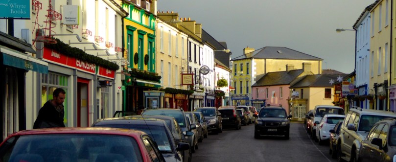
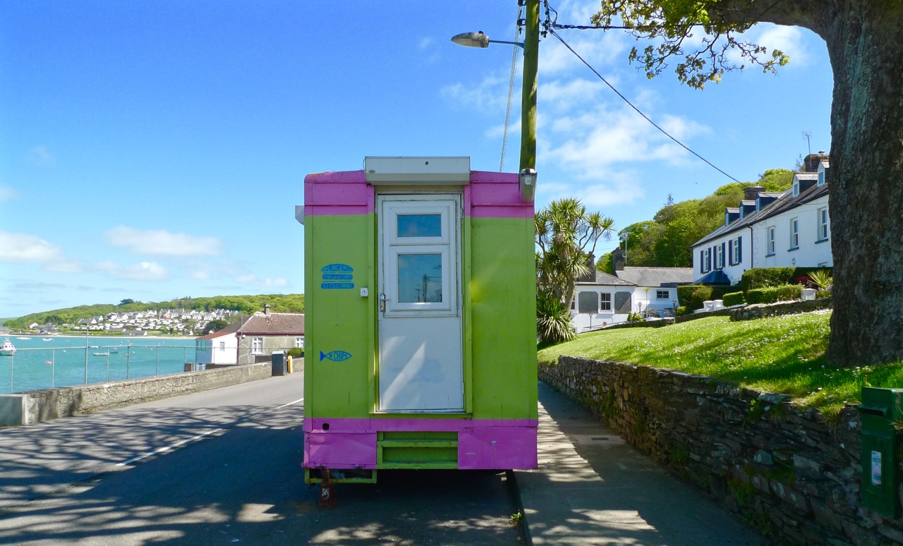
Colourful Courtmacsherry

Colourful Courtmacsherry

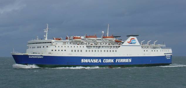
In the Days of Yore – when I first started to visit the west of Ireland – I travelled on the good old Swansea – Cork Ferry. It’s such a shame this route has now been scrapped (not once but twice): it was an overnight crossing, leaving the Welsh port at 9pm and arriving in the mouth of the Lee estuary at dawn. I felt there was nothing more beautiful than the slow cruise up through that great natural harbour in the early morning sunlight: passing lighthouses, lookout towers, mothballed ships, the Irish Navy and the coloured terraces of Cobh (pronounce it Cove), before disembarking at the exotically named Ringaskiddy Terminal.The Swansea-Cork ferry, the Celtic Pride1980s
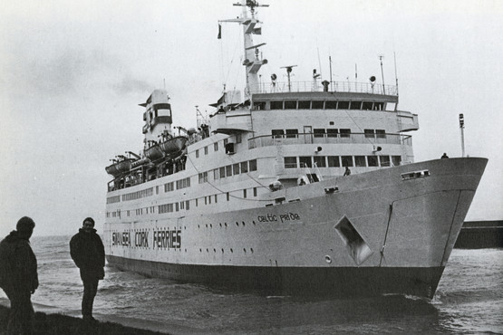
image006

Swansea – Cork Ferry: above – Celtic Pride, 1980s, below – MV Julia, withdrawn in 2011

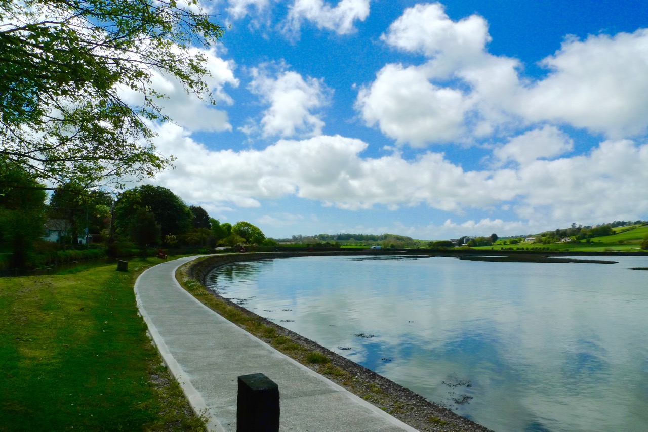
Part of the excitement of that journey was the anticipation of the drive down to Ballydehob and beyond. I always went on the R600 route, passing through Carrigaline and Kinsale – stopping, of course, at Ballinspittle to check that the BVM was safely in place at her grotto – before heading out along Courtmacsherry Bay. The journey alongside that ribbon of water – the road hugs it for some 10 kilometres – is recommended as an exemplary introduction to the landscape characteristics of rural Ireland.
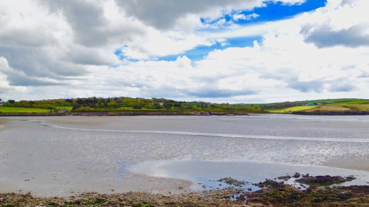
This water was known as Timoleague Bay until it became silted up in the 18th century

This water was known as Timoleague Bay until it became silted up in the 18th century

What was formerly Timoleague Bay is now known as Courtmacsherry Bay. Timoleague was the head of the navigation and thrived from wharfs built in front of the medieval Priory there until a catastrophic earthquake occurred in Portugal in 1755 causing a tsunami which hit the coasts of Britain and Ireland and dramatically changed the topology. This bay is one example: the inlet was no longer navigable for sea-going vessels up to Timoleague, and new piers and quays were built further to the east, closer to the mouth of the estuary, on the north facing shoreline. The place we now call Courtmacsherry didn’t exist until after this maritime event (hence the title of this post).
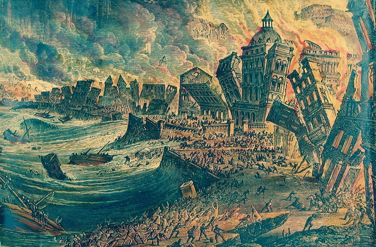
The Lisbon Earthquake of 1755 changed the shoreline of Britain and Ireland

The Lisbon Earthquake of 1755 changed the shoreline of Britain and Ireland

So how did the name ‘Courtmacsherry’ come about? It’s an unusual one, and a bit of a mouthful – locals call it simply ‘Courtmac’. According to Sean de Barra of the Courtmacsherry Historical Society the area was settled by the Hodnett family from Shropshire, in England:

…In the course of time they became more Irish than the Irish themselves and took the Irish version Mac Seafraidh…

…Which sounds like Macsherry – the prefix Cuirt would have been ‘Manor House’ or ‘Mansion’.
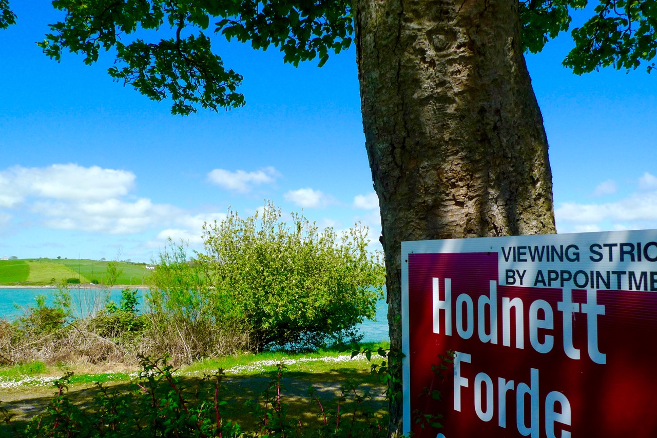
The Hodnett name is still familiar in the area

The Hodnett name is still familiar in the area

Although I travelled so many times along the road up to Timoleague it is only very recently that I actually diverted to visit Courtmacsherry. I’m very pleased that I finally did: it’s an attractive settlement which displays many aspects of its 300 year history. I had heard of the place – it has a lifeboat which is twinned with the one in Bude, Cornwall (have a look at this post). I worked for very many years in Bude with Jonathan Ball, who was Coxswain with the Bude boat and he led (and still leads) a choir from the Bude crew who have an annual twinning visit with the Courtmacsherry crew.

The Courtmacsherry Lifeboat has recently been in the limelight as the Centenary of the sinking of the Cunard liner Lusitania by a German torpedo has just passed (here is a very detailed account of the tragedy). The RNLI lifeboat Kezia Gwilt was on call during that event (having to row the 11 miles out to the wreck because there was no wind to sail her with) and helped rescue survivors. Sadly, 1,198 of the 1,959 people on board lost their lives on 7 May 1915.
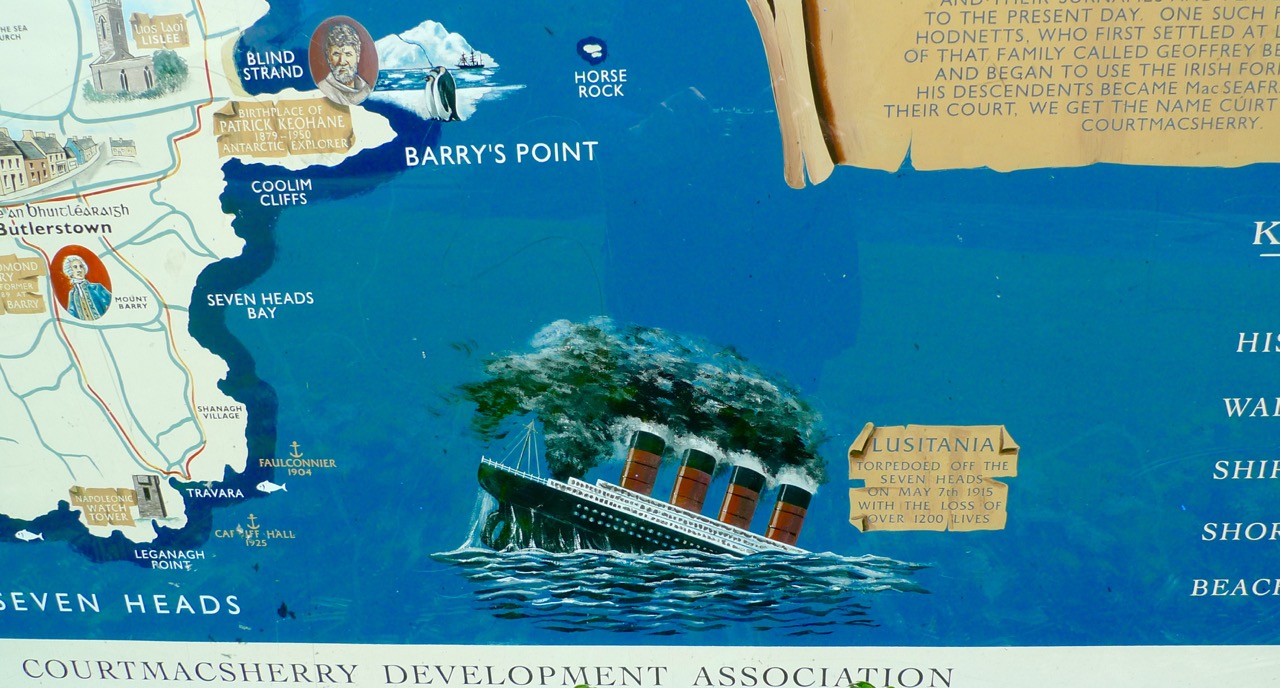
Notice Board

Model of Lusitania on display in Courtmacsherry, 2015

Model of Lusitania on display in Courtmacsherry, 2015

*

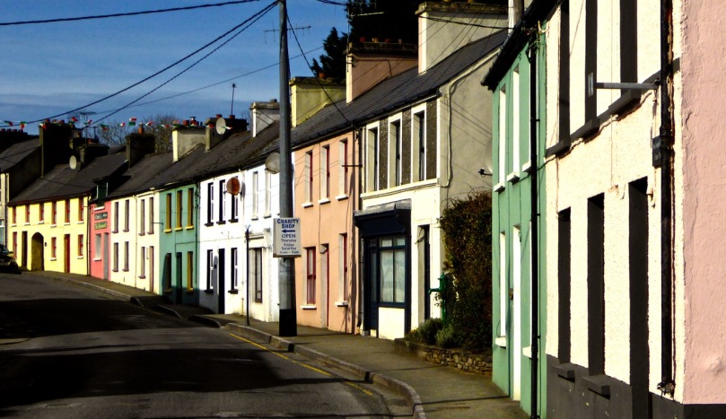
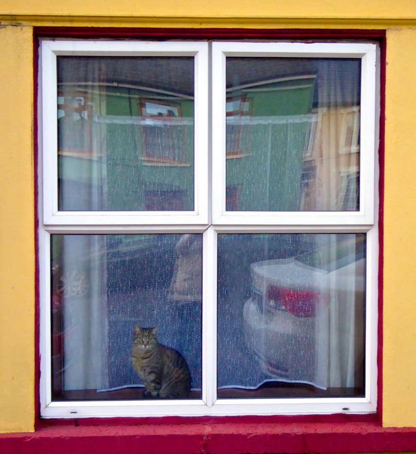
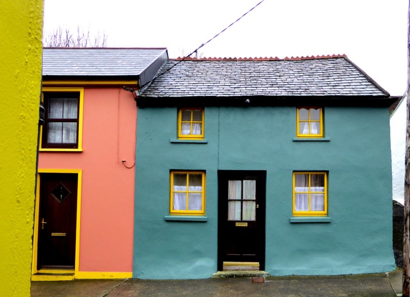
The village is unusual in that it has virtually only a single street facade, which follows the line of the water. Finola liked the colourful house fronts! Fishing is still a living here, just about. Tourism is important nowadays: we certainly appreciated the hostelries, including the Golden Pheasant Cafe. There really are Golden Pheasants in the cafe garden and – to my delight – Robins and Chaffinches who will eat from your hand. Also, in the aviary, a magnificent Eagle Owl. Apart from all this the food is excellent!
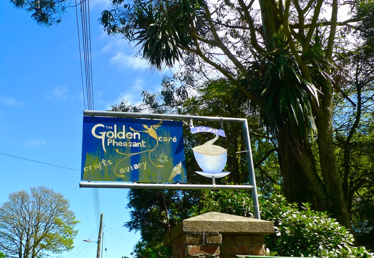
Golden Pheasant

Single sided street...

Single sided street…

As with our own village of Ballydehob, Courtmac was served by a branch of the West Cork Railways. Although planned as a three foot gauge ‘roadside railway’ (just like our Skibbereen to Schull line), the Timoleague and Courtmacsherry Extension Light Railway was actually built to full gauge, and lasted a little longer: our line closed in 1947, this one in 1960. The track bed from Timoleague has been made into a scenic waterside footpath covering several kilometres.

Railway Line Walk

Timoleague Station around 1910, top left – seaside Courtmacsherry 1950s, top right – the waterside walk along the old railway line, above

Our visit to Courtmacsherry was too short: we will be back soon, to take in the Castle and the Abbey – and to try and find out why it has an area called Siberia! My researches showed that there is another Siberia in Ireland: it’s in County Sligo and is also known there as Slieveroe. In that case the name is said to have come from  An Sliabh Rua, which means ‘Red Mountain’ – but there are no such topographical features in this part of West Cork.

I didn’t quite draw a blank with ‘Siberia’. Here’s an extract from Eating Scenery – West Cork, the People and the Place by Alannah Hopkin, The Collins Press 2008:

…In July and August, like most coastal villages in west Cork, Courtmacsherry can be too busy; it is heavenly in May and June, September and October. But in winter Courtmacsherry is deadly quiet, prone to dull, dark days of low sky and mist, when you are acutely aware of its north-facing character.The only compensation in this season is the presence of thousands of migrant birds, great clouds of golden plover, lapwing, blacktailed godwits, and Arctic shags, fleeing the cold of Scandinavia and Siberia to roost on the mudflats of Courtmacsherry Bay…

Houseen

Magic Forest

Thomas

Thomas

A byway taking off to the north just after the Cross House on the Skibbereen to Ballydehob road – signposted to Corravoley – will bring you to the townlands of Ballybane West and Ballybane East. That little boreen will take you past some Rock Art, and then on to the Magic Forest. If you find your way in, keep a lookout for the Other Crowd!

Look out for the Other Crowd!

Look out for the Other Crowd!

We accepted an invitation from the creator of the Magic Forest – Thomas Wiegandt – to come and visit while the bluebells were out – and we were enchanted by the woodland walks and all the experiences which excited our senses once we were there.

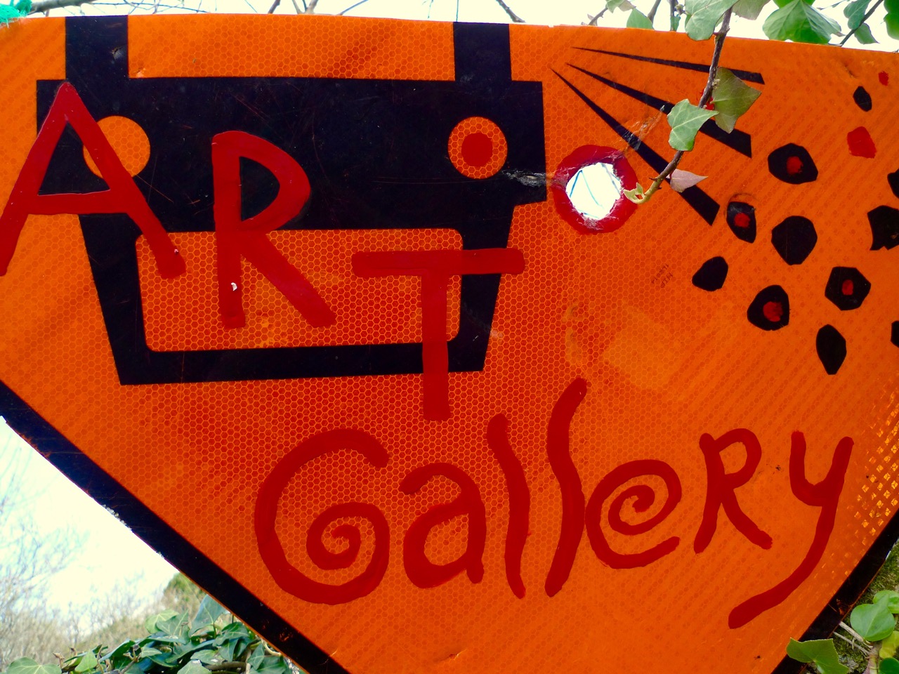
art gallery

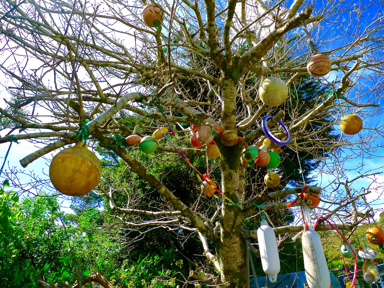
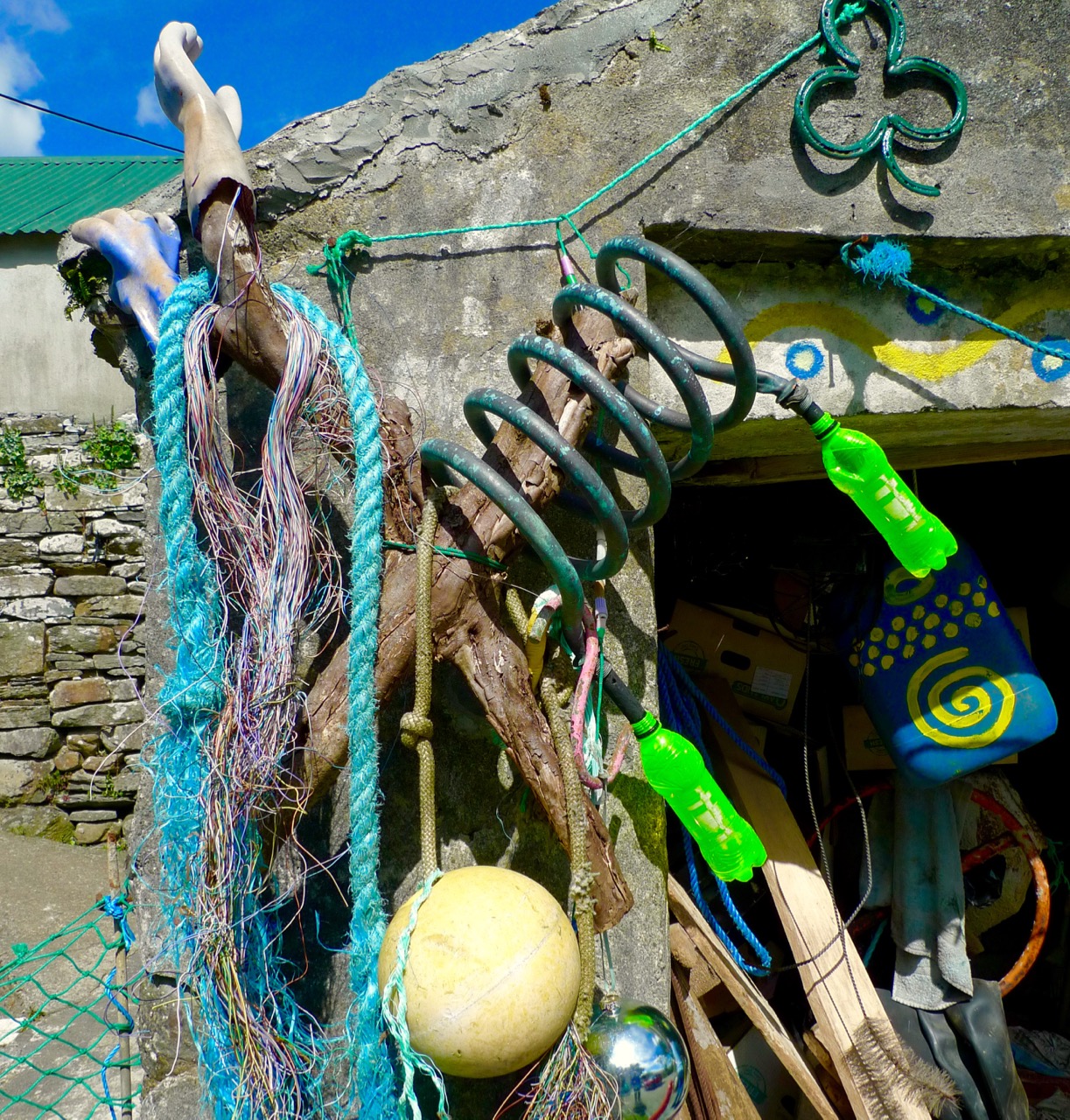
buoy tree

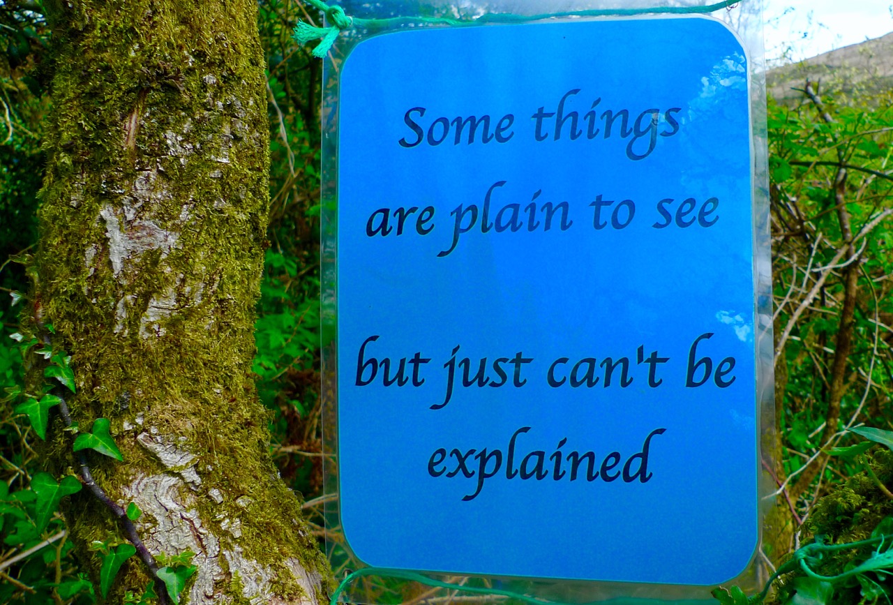
plain to see

It’s hard to describe Thomas – he’s a musician, an artist, a poet and – above all – he has a quirky and witty way of looking at the world… I like that way of seeing things.  He has lived for years at Ballybane and pursued his creative career as well as working on and caring for his few acres of West Cork wildness, which is based around an old sally grove – a place which hadn’t been used for around 100 years and which had been sold as ‘waste land’. As you make your way through the Magic Forest (and take care – there are some rough paths and a few stony steps to be negotiated) you will be taken through his thoughts and into his imagination.

spidey

spring

lizard

Thomas believes we are all musicians at heart (I agree) – and invites us to have a go at the Ballydehob Gamelan – a wonderful collection of ‘rescued’ objects with which we can create rhythms and explore a whole world of sounds: you can play an array of drums, cans, goblets, makeshift xylophones, even stones… Finola had a whale of a time!

There is art and poetry set amongst the willows, often with the most unexpected juxtapositions. One of my favourite discoveries in the Magic Forest was Natural High – a little knoll looking out to Mount Kidd: there are two garden seats there where you can sit at ease and frame the view of the mountain, with two dogs as companions: one of them is real!

There were some messages here – about how we treat our world (or mistreat it), but they weren’t intrusive to the enjoyment of the whole adventure. If anything they were thought-provoking and – overall – a very good lesson in how we can all positively re-use things that seem to have transcended their original purpose.

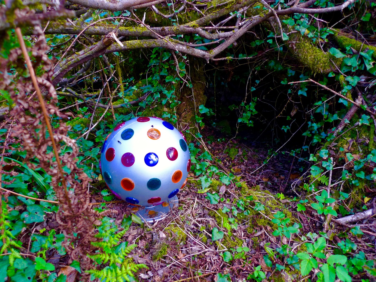
ball

cone

for the record

In another life, Thomas might have been a shaman or medicine man: walking through the forest can be seen as therapeutic and refreshing in the context of our modern busy world – and it will certainly make you laugh at times. I really liked the idea of picking up a phone and talking to our ancestors!

You can discover more about the Magic Forest – and about Thomas Wiegandt – on his website: Cosmic Radio. You will find his poetry and his music there, and you can download many of his compositions for free. But do go and visit this unique piece of West Cork for yourselves: I hope you will be as delighted by the experience as we were.

poetree

signage

Showing Off West Cork

This is how you sightsee in West Cork!

This is how you sightsee in West Cork!

Ladies and Gentlemen, meet Susan Byron! Susan is the face behind Ireland’s Hidden Gems, a custom travel service for visitors to Ireland, and she and I met last year when Robert and I spent a week in Clare. Susan loves nothing better than to hop in her car and take off for a few days to some part of Ireland she wants to explore or re-explore. There are very few places she hasn’t seen, but I soon discovered that the Sheep’s Head was one of them. She has been to the Mizen before but hadn’t seen some our OUR hidden gems. In short order we decided that a visit must be organised, and a couple of weeks ago she arrived, bearing Burren lamb, bottles of wine, and an infectious enthusiasm to see everything.

The 17th century Bardic School

The 17th century Bardic School on The Farranamagh Loop walk

Now if someone who runs a bespoke travel agency wants to see your piece of paradise, well, you’re going to put your best foot forward. Fortunately, this isn’t a problem in West Cork – it’s pretty well a fail-safe place to show off. Susan spent her first day whale watching (something we promise ourselves to do soon) and exploring the area east of Skibbereen. On day two and three she was all ours and we spent the first day on the Sheep’s Head and the second on the Mizen.

Mizen farm

Mizen farm

First of all, travelling with Susan is a hoot. She’s got a hot car, a ready laugh, an inexhaustible supply of stories, insatiable curiosity, and a real passion for Ireland. She is amazingly well-read – she knew the dates of the castles before I could tell her and was already familiar with what most tourists want to to see and do in West Cork. So this was a cheerful, companionable time of exploration, chatting, coffee and scones, hiking and sightseeing.

Our Sheep’s Head day took in two loop walks – the Farranamanagh loop and the lighthouse loop. We started off in drifting mist but the sun came out in the afternoon and soon we were shedding coats and applying the sunscreen. After a stroll around the lovely Farranamanagh walk (famous for its 17th century Bardic School) we had lunch in The Creamery in Kilcrohane and browsed in the Sheep’s Head Producers Market. We bought eggs from a farmyard, said hello to contented alpacas, and took innumerable photos of the killer views.

The Lighthouse Loop offers unparalleled vistas at the end of Sheep’s Head – south to Mizen Head and the sweep of the West Cork coastline, and then, as you round the end, north to the Beara and to the Iveragh Peninsula (Ring of Kerry) beyond it. The trail has some steep sections and clings to a cliff edge for part of the northern stretch. It, and the Farranamanagh Loop are but two of the many waymarked trails that crisscross the Sheep’s Head. Each is as rewarding as the next and you could easily spend several days exploring this one Peninsula.

Lake Farranamanagh

Lake Farranamanagh

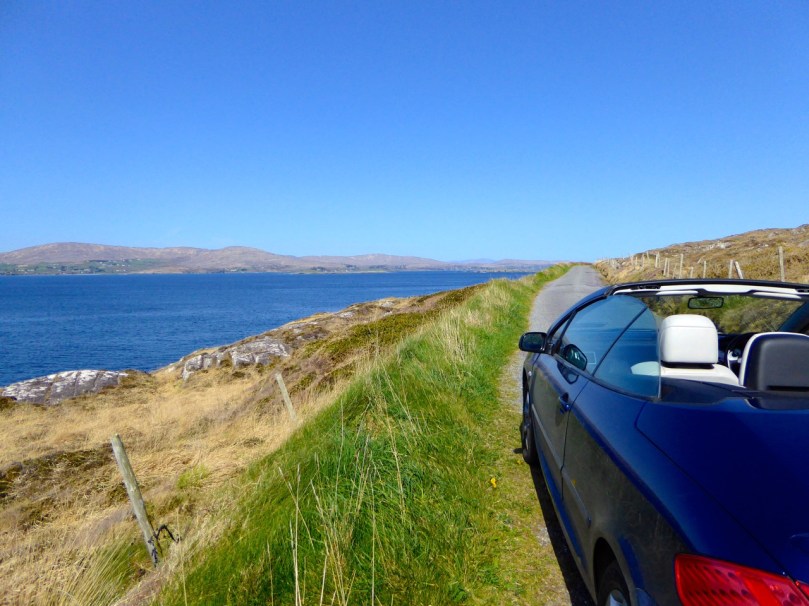
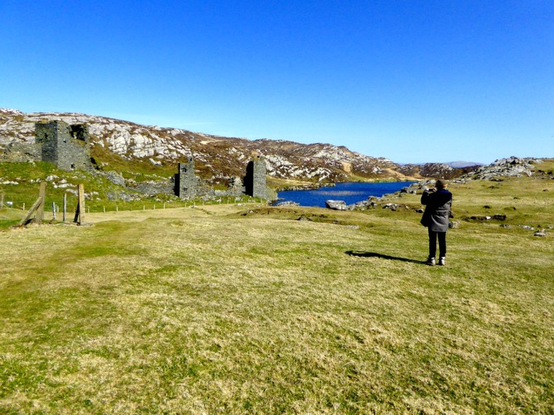
The Mizen, of course is OUR peninsula and we are always delighted to introduce it to friends. The weather was brilliant so we were able to drive in Susan’s cool car with the top down. (In my next life I want to come back as a blonde with a convertible.) Three Castle Head was at its most spectacular, with the water that deep azure blue that people who don’t live here have a hard time believing is real.

The Three Castles: it's love at first sight for Susan

The Three Castles: it’s love at first sight for Susan

The curtain wall and the lake

The curtain wall and the lake

Spring was bustin’ out all over so the air was heady with wildflowers and the fields full of newborn lambs. The drive on the north side of the Mizen is as jaw-droppingly gorgeous as any stretch of road in Ireland – the only difference is that it’s empty. We met not a single car, which enabled us to stop where we pleased to survey the scenery or take photos.

Barley Cove Beach

Barley Cove Beach

Susan wound up her time by conducting some retail therapy in Schull. No better place!

Schull, colourful village with great shopping

Schull, colourful village with great shopping

She has posted numerous photographs on her Facebook page and even used the phrase “possibly the most beautiful place I have ever been….” about Three Castle Head. That’s how I feel about that magical place – but when someone who has seen everything Ireland has to offer says it, maybe, just maybe, I’m not delusional after all.

Susan at the cairn. Three Castle Head on the Mizen

Susan at the cairn. Three Castle Head on the Mizen

Shadows and Stone in Action

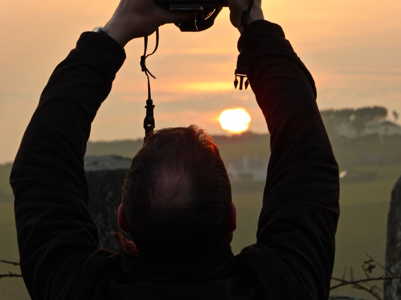
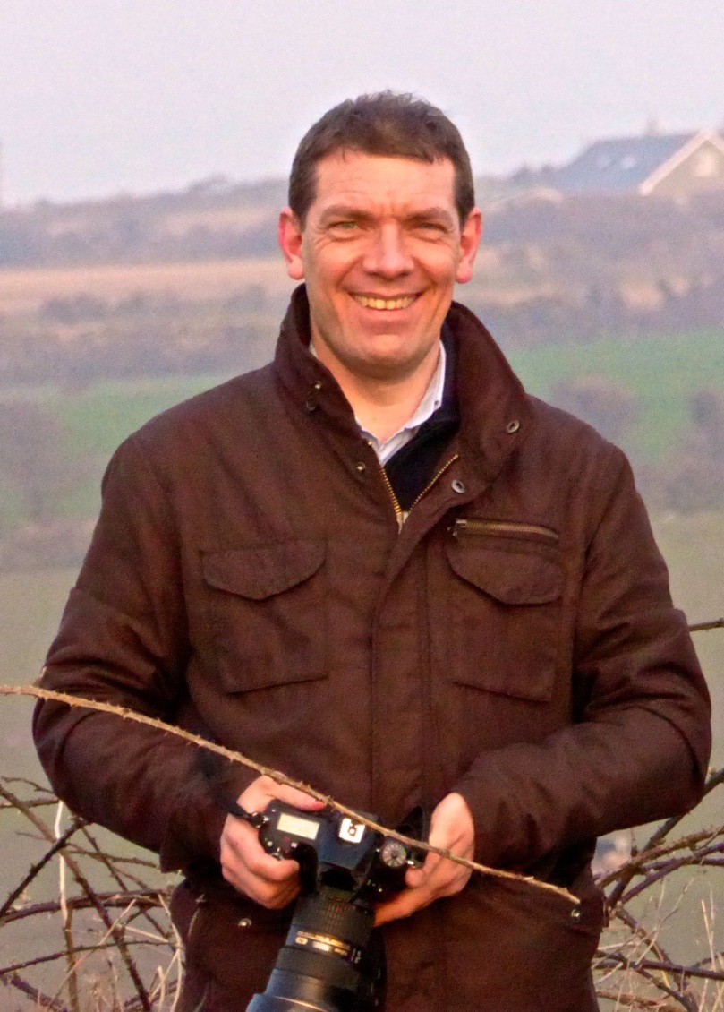
Ken Williams - capturing the moment

Ken Williams – capturing the moment

Shadows and Stone is the undisputed champion of prehistoric photography sites in Ireland. The work of photographer Ken Williams, it contains an enormous number of high-quality images from Ireland, England and Wales, and Portugal. Within Ireland, the site is organised by the various types of monuments (passage graves, stone circles, rock art, etc) and there are also galleries devoted to solar phenomena such as the Equinox at Loughcrew.

Ken and Robert: getting ready for sunset at Bohonagh

Ken and Robert: getting ready for sunset at Bohonagh

Ken’s work on rock art is astounding. We know first hand how difficult it is to get good photographs of the carvings. Many of them are covered in lichen, obscuring all the detail, and can really only be discerned in long slanting light, such as at sunrise or sunset. Ken uses artificial lighting to capture his excellent images and when we first met him a couple of years ago we asked him how he packed all those lights up to the remote locations in which a lot of rock art is found. He grinned and opened his backpack. “This is my equipment,” he said, “It’s all I use.” Essentially his gear consists of a camera, flashes, and tripods.

flashes strategically deployed

flashes strategically deployed

If you want to see the difference between what Ken captures and what us ordinary mortals manage to do, take a look at our photograph below of the highly carved panels at Derrynablaha in Kerry. Hard to see anything on them, right? Now click here for Ken’s version!

Derrynablaha Panels 5 and 6. Probably most highly carved pieces of rock art in Ireland. Can you see it?

Derrynablaha Panels 5 and 6. Probably the most highly decorated pieces of rock art in Ireland. Can you see the carvings?

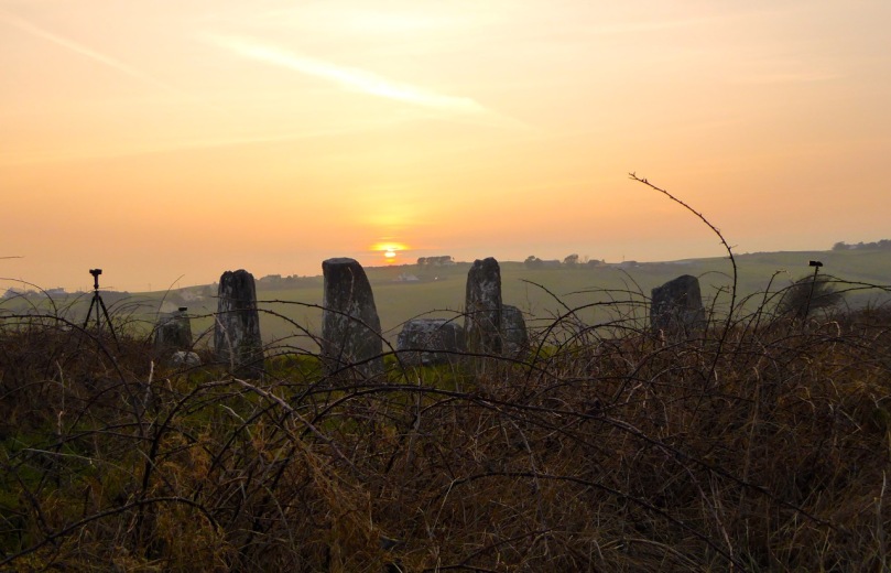
We met Ken this week at the Bohonagh Stone Circle: he was there to photograph the equinoctial sunset. It was a beautiful evening – perfect conditions to see the sun sink behind the recumbent stone, as it does in these axial stone circles at either the equinox or solstice.

Looking over the recumbent

Looking over the recumbent

It was a treat to see a master photographer at work and to have Ken explain how he gets those amazing shots. Since we had already had the opportunity to shoot the sunset last March, I knew how difficult it was to portray a scene when you’re aiming directly into the glare of the setting sun. It took a lot of processing afterwards before I could see both the sun and the stones in my shot, and by that time the sky was competely washed out. This time I concentrated on capturing the photographer at work. Ken, meanwhile, worked his usual magic – and here’s the result, included with his permission. Not only can you see everything, including the still blue sky, but his picture captures the mysterious ambiance of the setting and the occasion.

BohonaghEquinox15-12

We hope to tag along with Ken again in the future. Meanwhile – our thanks to him for an inspirational day and the great rock art chat.

Thanks, Ken!

Thanks, Ken!

By the way, it’s been a week of sky photography here in West Cork – first the equinox and then an eclipse! My neck hurts now.

Solar eclipse, West Cork, March 20, 2015

Solar eclipse, West Cork, March 20, 2015

An Extra Lick of Paint

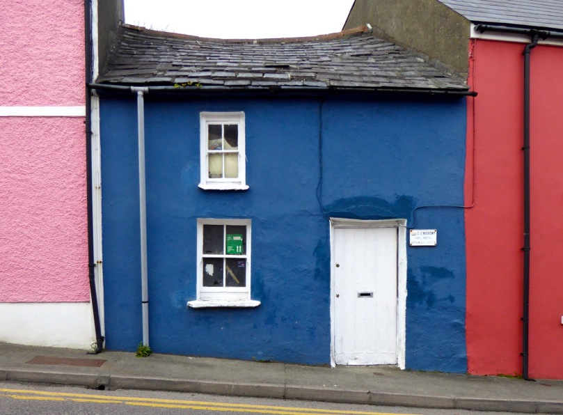
Old vet clinic, Schull

Old vet clinic, Schull

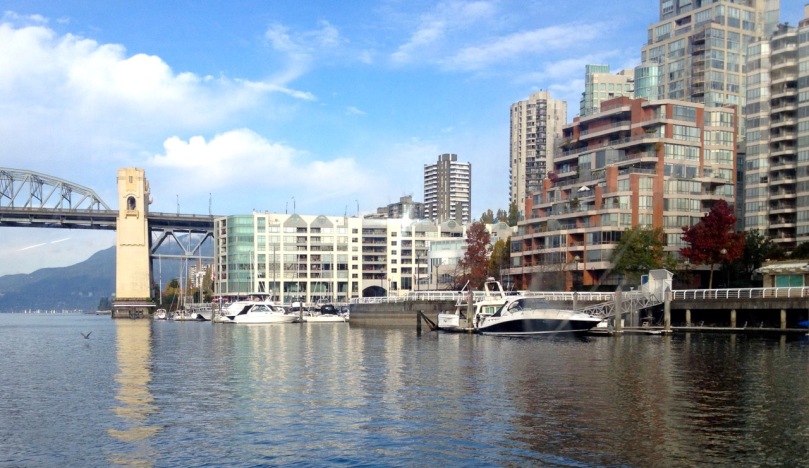
I used to live in Vancouver, on Canada’s west coast. It’s a beautiful city by any standards: gleaming high-rises, miles of seaside walkway, and snow-capped mountains lending a dramatic backdrop. I loved it, but when I looked through my window mostly what I saw was concrete and steel – and no colour! I had to escape up into the mountains or out to the Fraser Valley to get in contact with nature and feed my soul.

Where I used to live

Where I used to live

Where I live now

Where I live now

In West Cork, my soul is fed every day, every time I look out the window of our house, every time I stroll through our village of Ballydehob. That’s down to our rural setting, of course, and the magnificent scenery, but a huge part of it is about colour. I’m a colour person, I guess: I respond to it and crave it. I can certainly appreciate a quiet tasteful palate of greys or beiges, or any of the million variations of off-white when I see them. But left to my own devices I’d quickly have a chunk of candy apple red in there, or chairs the colour of daffodils, or a wall in a vivid pink. As Lady Gaga says, I was born that way.

Why is that woman taking my picture?

Why is that woman taking my picture?

And so I find living in rural Ireland a constant source of delight and inspiration. No country was ever this green, surely! Now the gorse is starting to bloom, turning the hillsides into a blaze of yellow. And every few kilometres along the road is another village or town full of colourful houses competing with each other for my attention. But before we get to the villages, here are some glimpses of houses just off the main roads as you drive those kilometres.

A Lick of Paint mainly featured houses out in the countryside, but for this post I wanted to show you some of my favourite houses in our nearby towns and villages: Ballydehob, Bantry, Skibbereen and Schull.

On the outskirts there are new estates of identical houses, of course, all painted in identical shades of cream. But in the steep and windy streets behind the shops you find little old terraced houses lovingly done up, the walls, doors and windows all in contrasting hues and with knife-edge divisions of colour between neighbours.

Skibb town house 2

Skibbereen townhouse

It can be like walking through a giant Rubik’s Cube (ok, that dates me) or one of those kaleidoscope tubes.

In his book, West of West, published in 1990, Brian Lalor captures my own experience growing up in a sea of grey. He says:

The nineteenth-century photographs of villages and farms show an unrelieved grimness of stone, cement and clay. Whitewash relieves this picture, though frequently this rendering has degenerated into a leprous greyness indicative of neither hope no prosperity. Colour has a symbolic relationship with the state of economics in rural Ireland. The last 20 years have seen the introduction of modern synthetics, bringing vivid tones not previously to be found here. Affluence and the EC have brought, as to the Aegean, a flight from the spartan virtues of white and cream…

Whatever the reason – prosperity, a sense of fun, a wish to lighten the spirits, the influence of the Tidy Towns Competition, an affinity with the colours of the wildflowers in the hedgerows, competition with the neighbours, the need to describe how to identify a house when street numbers are confusing or absent – I am grateful for it. It’s one of the things that makes rural Ireland unique and charming – and it feeds my soul.

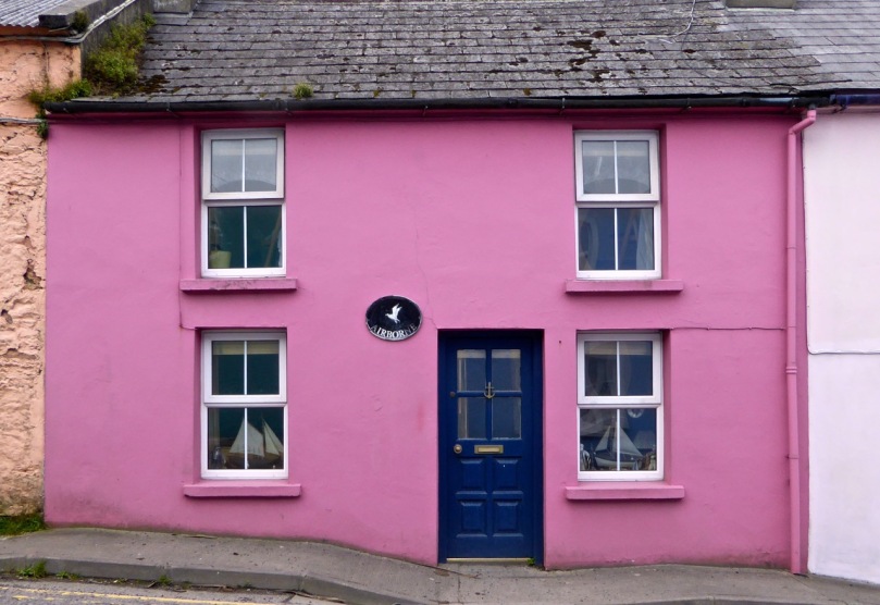
Airborne, Schull

Airborne, Schull

The Gables of Ballydehob

The Gables of Ballydehob


New Archaeology

Unexpected Discovery...

Unexpected Discovery…
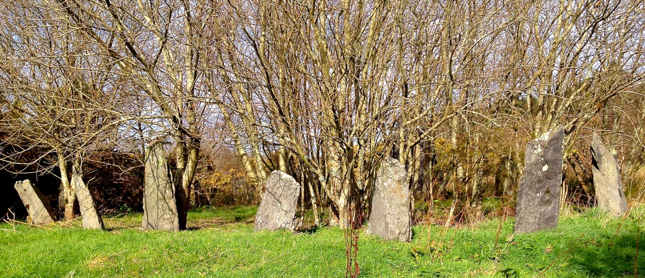
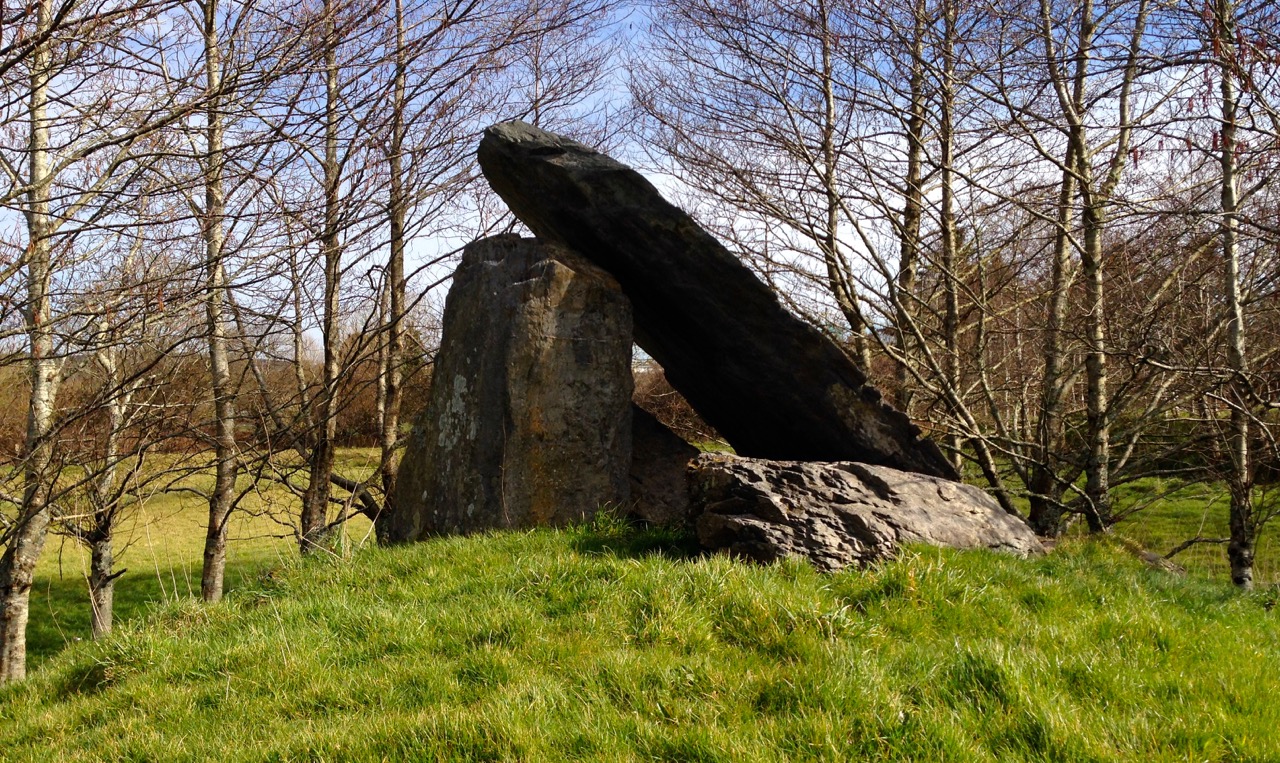
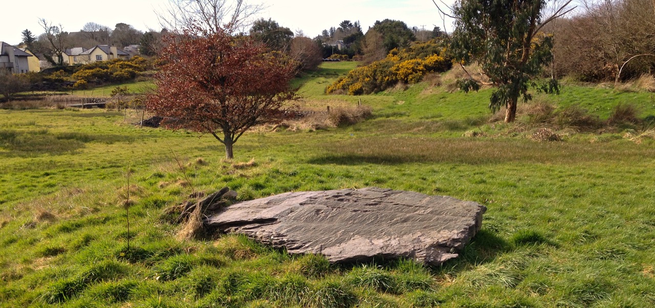
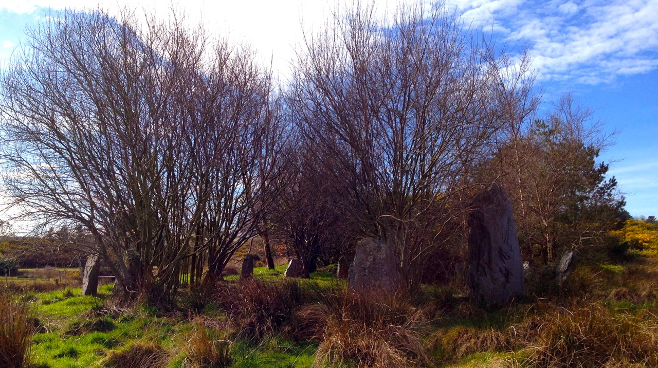
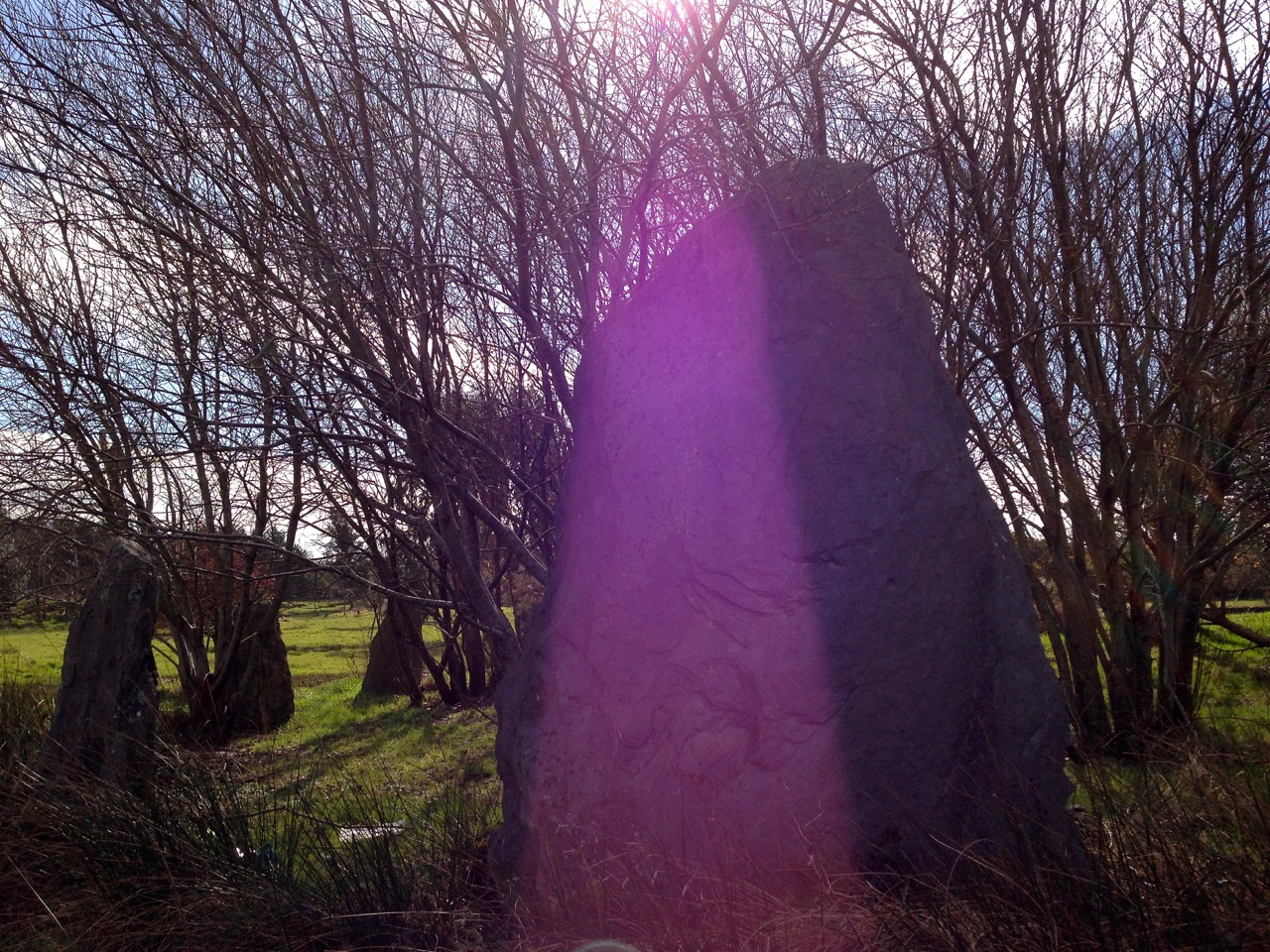
Wow! A hitherto unrecorded stone circle, a boulder burial, a gigantic standing stone and a dolmen… all found on a Saturday morning walk.
Ballydehob's Dolmen

Ballydehob’s Dolmen

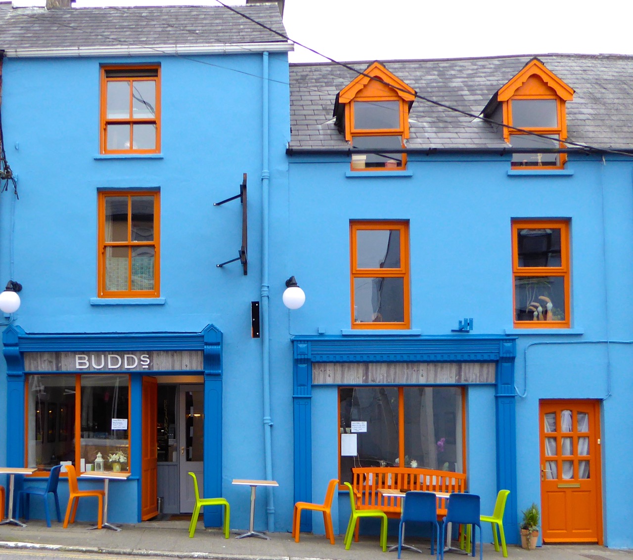
Budds

Our expedition began after a great breakfast in Budds – Ballydehob’s newest eating venue: try it out – it has an attractive cheerful atmosphere and the food is excellent. After this sustenance we set out to explore – for us – uncharted territory. Did we travel miles out into the wild hills of West Cork to find these remarkable pieces of archaeology? No, we walked a few metres down the road…

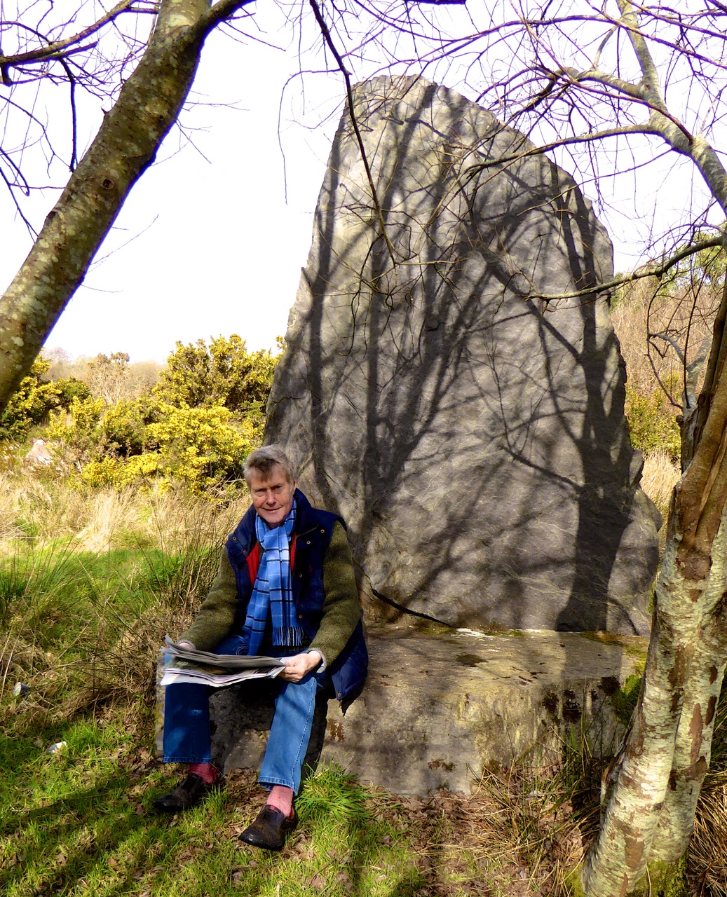
Time for the weekend paper - Robert takes to the Druid's Chair

Time for the weekend paper – Robert takes to the Druid’s Chair

Right behind the main village street in Ballydehob is a spectacular example of twentieth century Irish history: a golf driving range with a prehistoric theme!

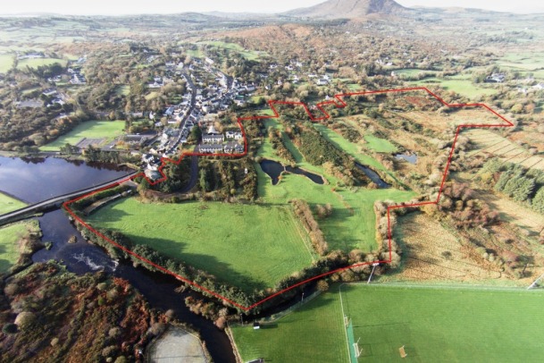
Aerial view of the site

Aerial view of the site

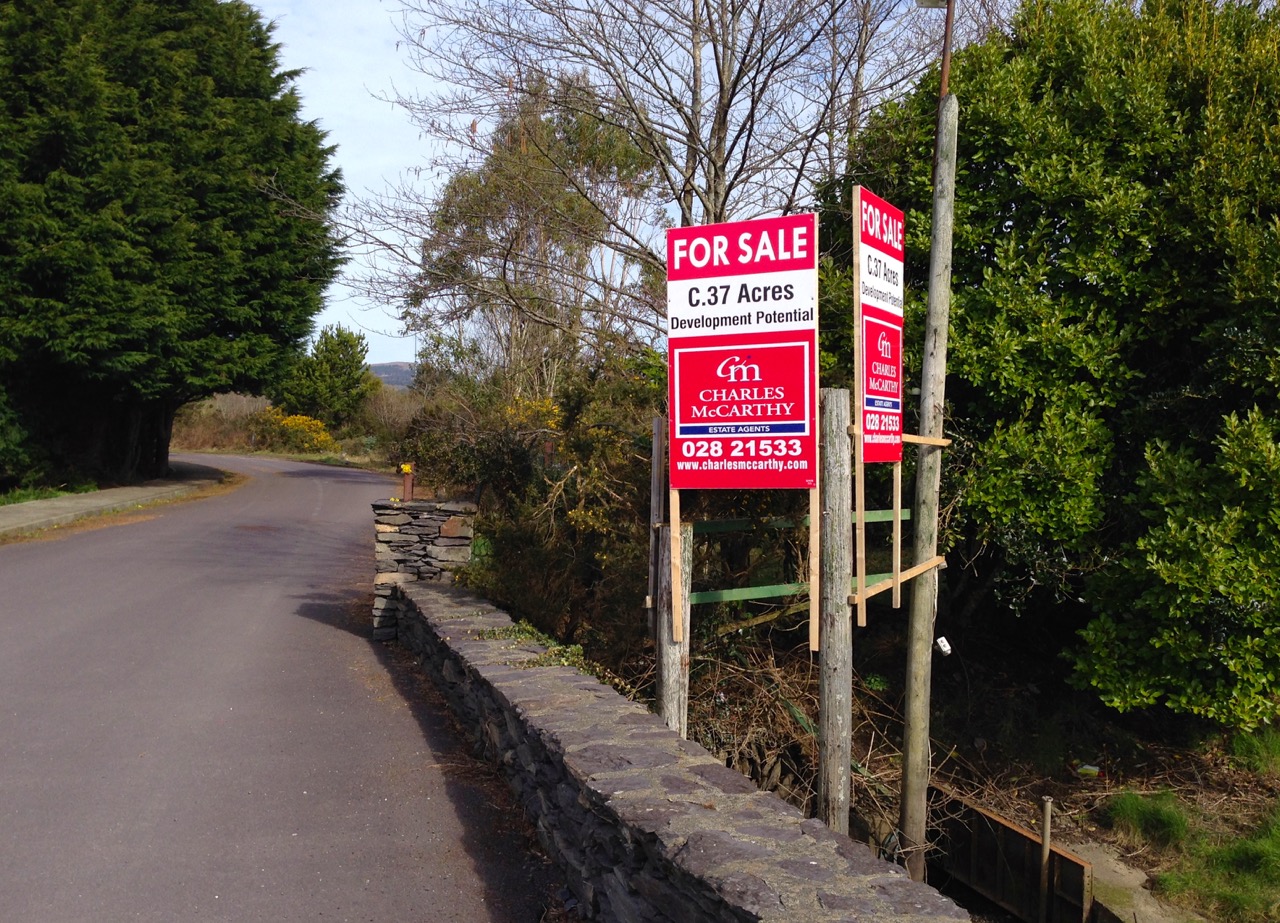
Ballydehob’s Golf enterprise came with the Celtic Tiger – and went when the Tiger collapsed. It’s now a site looking for a buyer – you could have it!

for sale

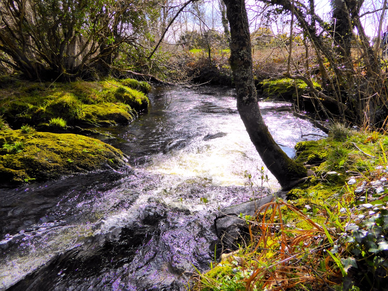
But we do hope that if someone does buy the site, then they keep all the features: the winding paths by the river, the parkland which feels so rural and secluded, yet is within a stone’s throw of the main N71 highway – and all the New Archaeology...

Riverside Walk...

Riverside Walk…

Boulder Burial...

Boulder Burial…

Circle within an 'ancient grove'...

Circle within an ‘ancient grove’…

Megalith, enjoying a trick of the sun...

Megalith, enjoying a trick of the sun…

The unfortunate demise of the West Cork Golf Academy has left Ballydehob with an unofficial ‘town park’ – a very pleasant place to walk on a balmy spring morning. If only there was a way that this could become a permanent amenity for the community. But the land has a value and – presumably – potential for some worthwhile development. Who knows what the future holds? Meanwhile, we enjoyed our chance discovery of New Archaeology right on our doorstep!

PS – since publishing this post earlier today, I realise from comments received that some readers have been puzzled by it: rest assured that all this ‘new’ archaeology dates from the twentieth century – and was constructed as part of the golf project! They made such a good job of it that it could just prove very confusing for archaeologists of the future…

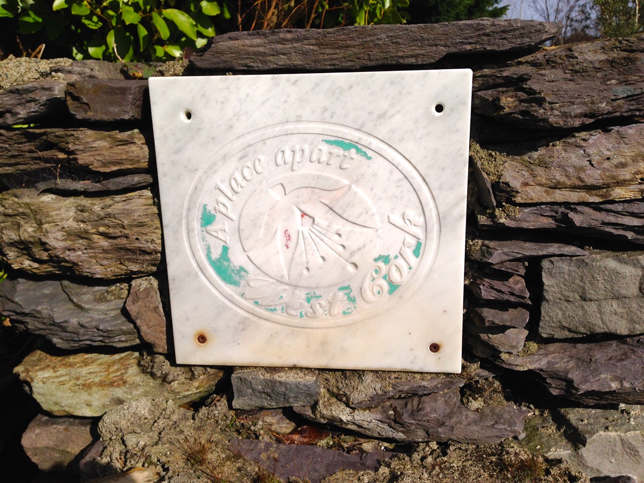
A Place Apart certainly - the Fuscia Brand labelling dating from better times

A Place Apart certainly – the Fuschia Brand labelling dating from vanished times

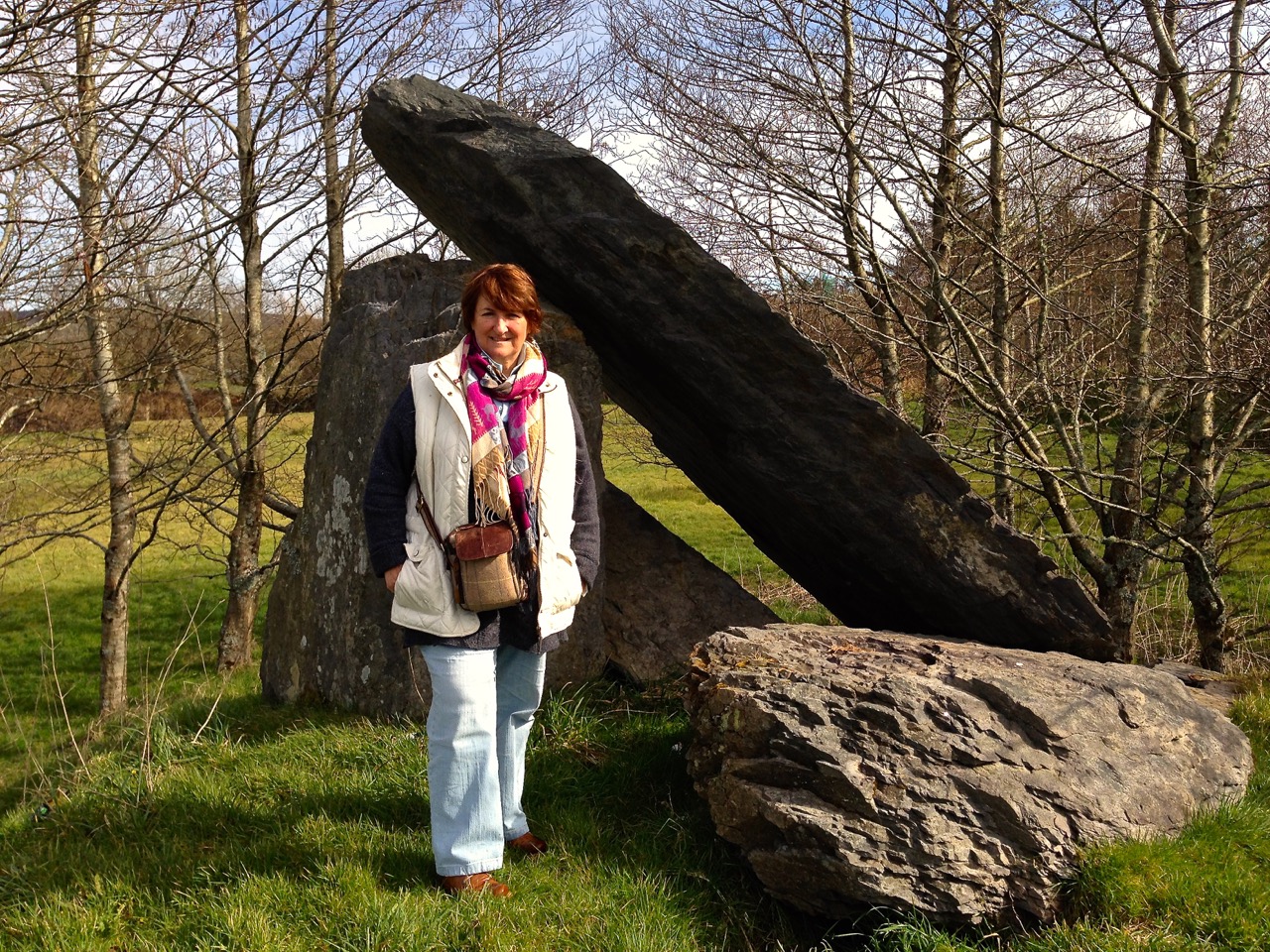
Finola enjoys the spirit of 'A Place Apart'

Finola enjoys the spirit of ‘A Place Apart’