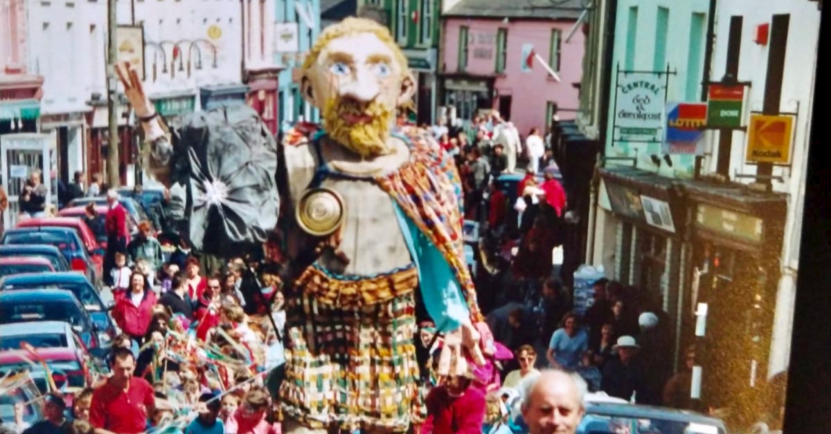
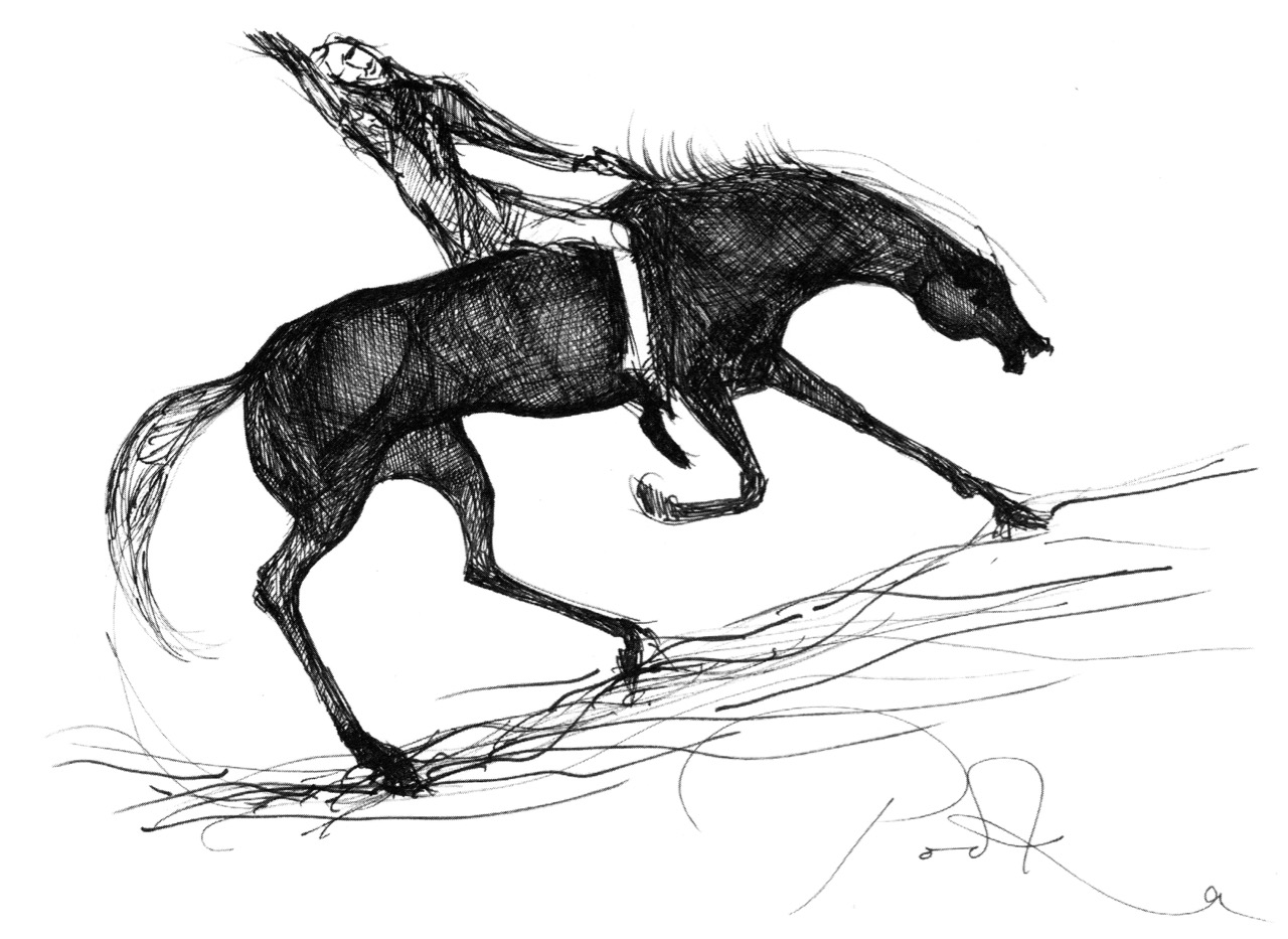
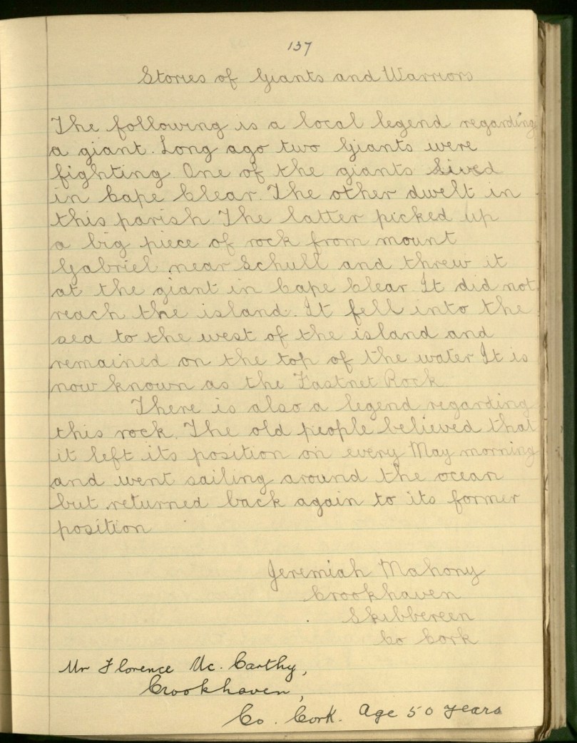
While references to Fionn MacCumhaill (or Finn McCool) occur in many of the old legends about Mount Gabriel, more often a generic ‘giant’ is identified as having lived on or near Mount Gabriel. Giants were, apparently, given to fighting each other and to hurling rocks through the air. Here’s a good example from Jeremiah Mahony of Crookhaven:
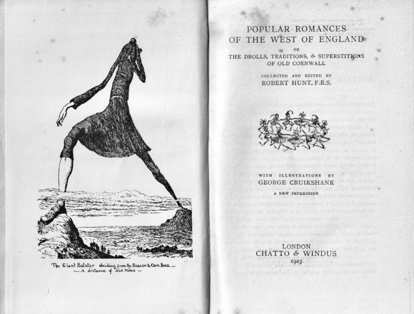
Giants are a familiar motif of folklore – just across the sea many of the same stories are told about the effects the Giant, Bolster, had on the landscape of Cornwall.
The rock that was seized and thrown didn’t always become the Fastnet; prominent rocks on the landscape were also identified, including what we know now as Boulder Burials (for more on this class of archaeological monument see my post Boulder Burials – A Misnamed Monument?). Here is Cornelius Moynihan from Derreenlomane School (long since closed), telling a tale he got from his grandfather of the same name, then aged 75.
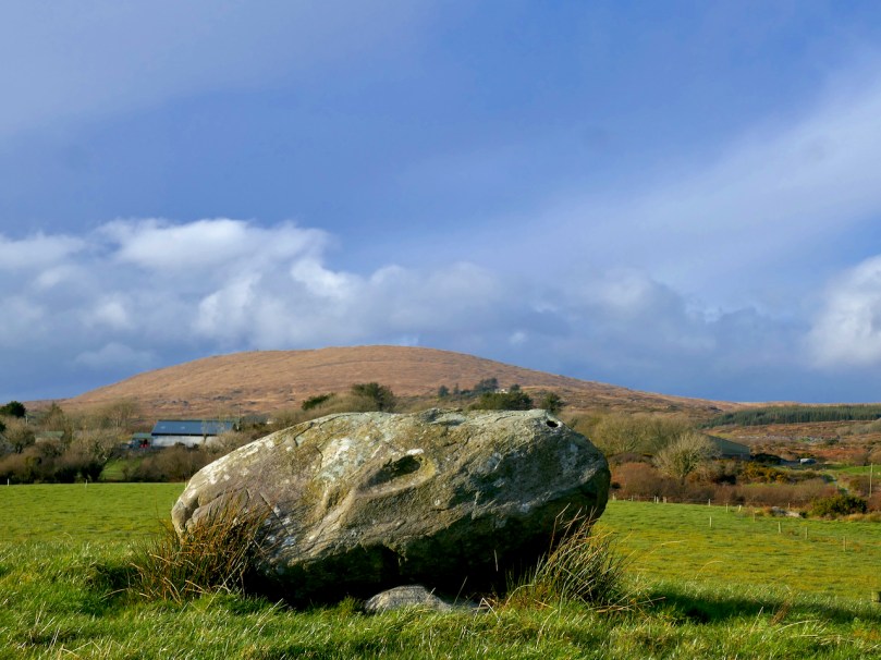
In my grandfather’s land in Rathravane there is a stone called “The Giant’s Stone”. A legend says that it was thrown from Mount Gabriel by a giant long ago. Those who believe this point out the print of a knee and prints of three fingers. It looks as if one end was lifted by human agency as it is supported at that end by three stones arranged regularly.
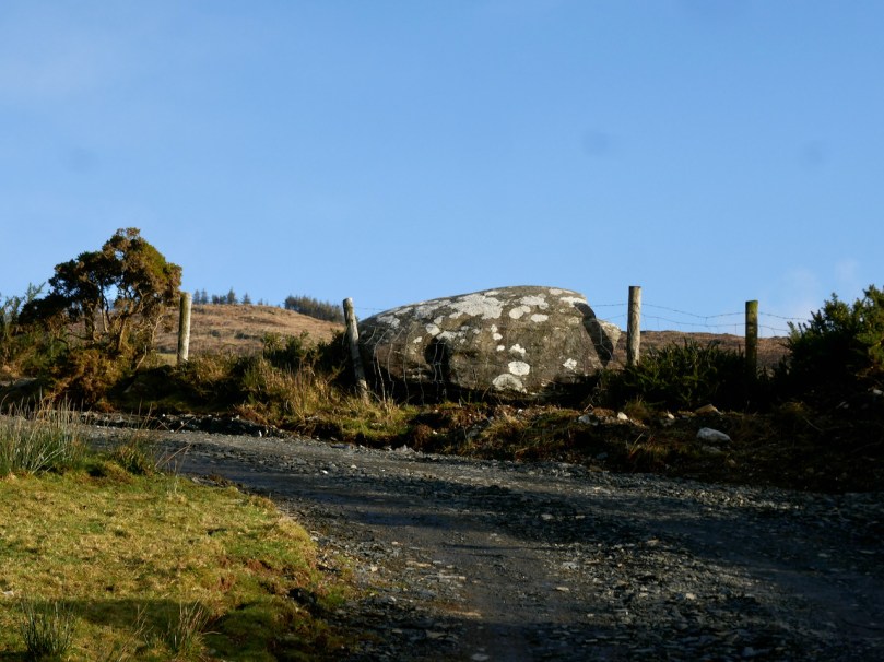
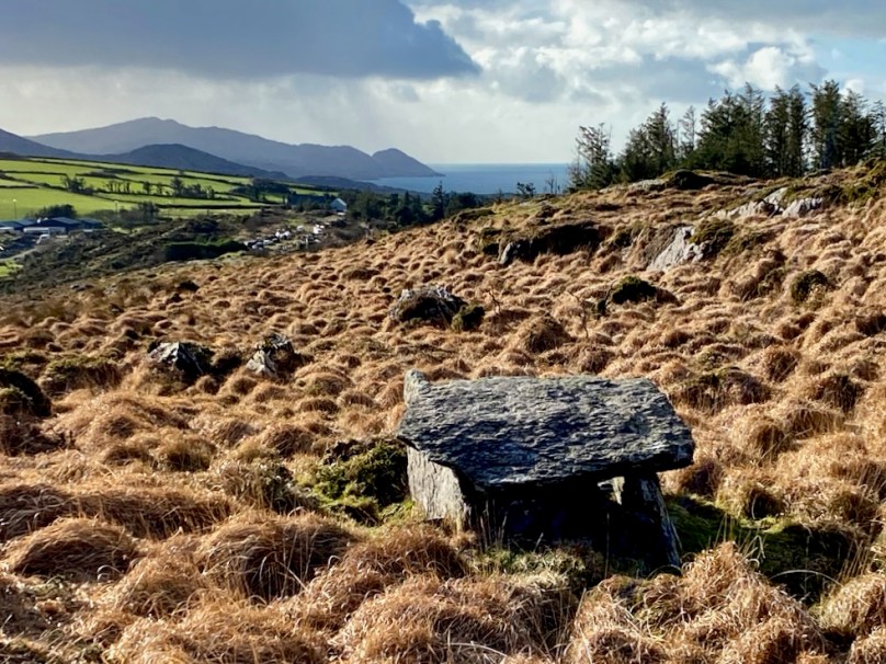
In an unusual piece of cross referencing, Tessie Coughlan from Dunbeacon School, on the other side of Mount Gabriel, tells of the same rock landing in Moynihan’s field (above, and below with Mount Corrin in the background).
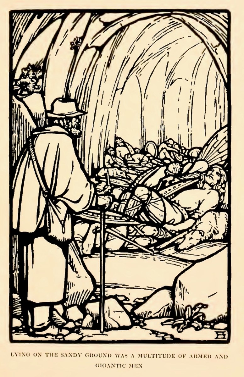
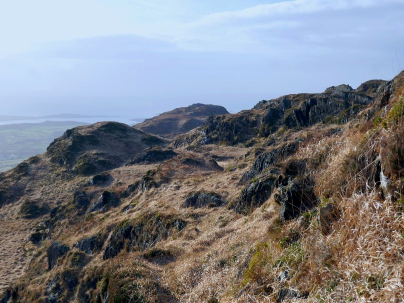
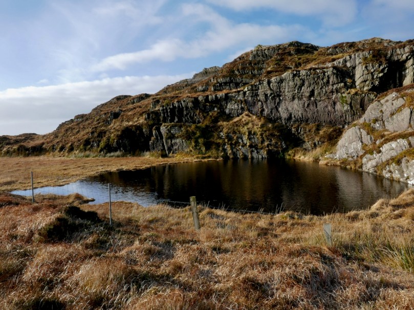
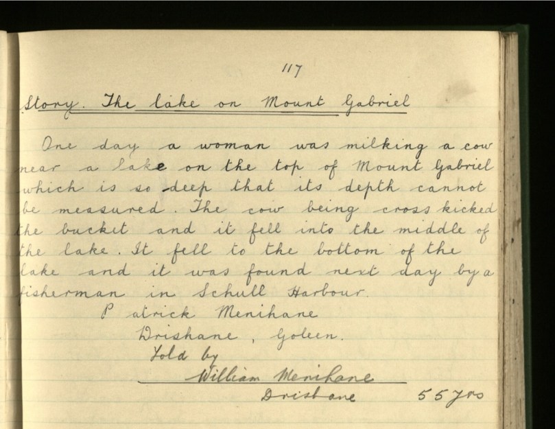
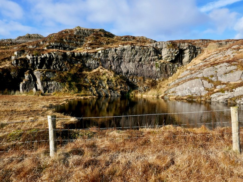
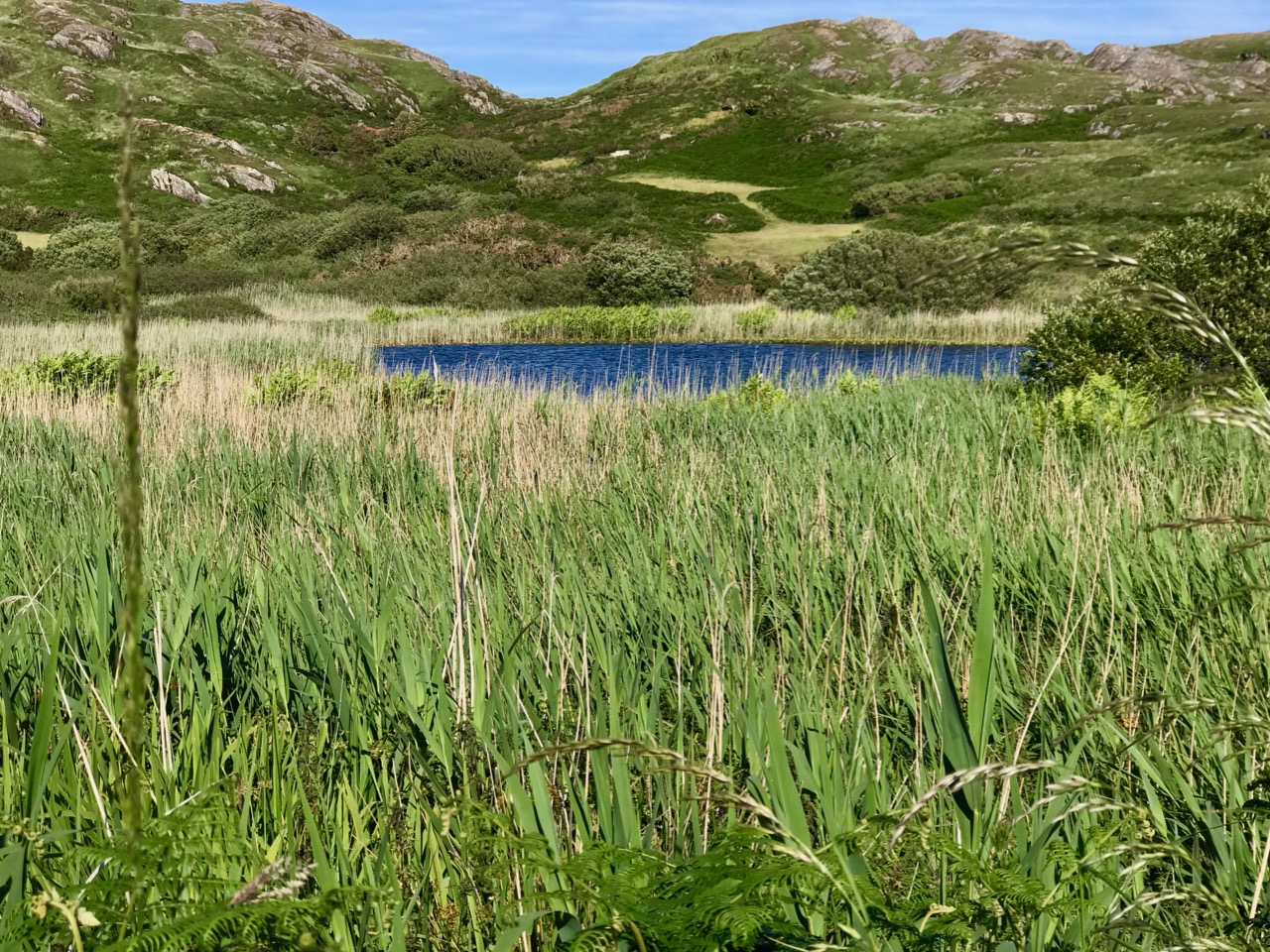
The old people of this locality say that two giants once lived at the top of Mount Gabriel near the place where the lake now lies. One of them was much taller than the other but the smaller had two heads and was cleverer and stronger than the other. It is said that they killed any person who cut a tree on the mountain side and then they cast their bodies into the lake.
One day a dispute arose between the two as to which was the stronger and it was agreed upon that they should both lift a stone and throw it as far as they could. The two giants lifted stones of equal weight and threw them over the land together. The small giant threw his stone much farther than the other did and it fell in Rathravane in a field owned by Mr C Moynihan. The other stone fell in Dreenlomane and it is still to be seen.
The stone in Rathravane is oval shaped and it bears the five prints of the giant’s fingers. It rests on a height. The stone in Dreelomane is not shaped like the one in Rathravane but it is the shape of a coffin and bears the print of one of the giant’s fingers. The old people say that it is a real coffin and that a landlord is buried in it or under it. Several people have gone to break the stone, but owing to tradition they never struck it.
Perhaps this (above) is the other rock – it’s not in Derreenlomane but not far, on the slopes of Mount Corrin. Another student from Derreenlomane school, Rita Helen, tells a similar story in her piece titled Local Monuments, and goes on to describe several others.
There is a glacial stone in Mr. Young’s field and another in Mr. Moynihans field. The one in Mr. Moynihan’s field seems to have been lifted up at one end by some persons, as three stones have been placed under this end. People say there is a print of five fingers on the one in Mr. Moynihan’s field and that a giant threw the stone from the top of Mount Gabriel over into the field.
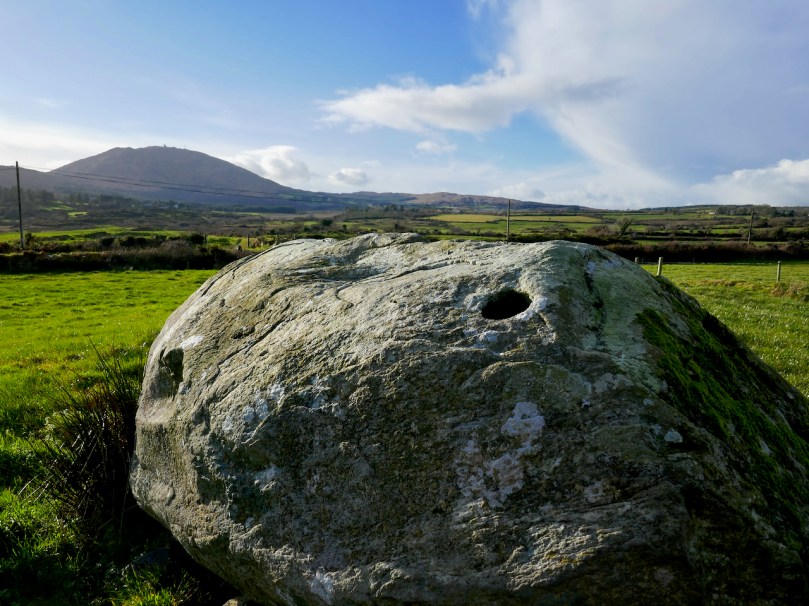
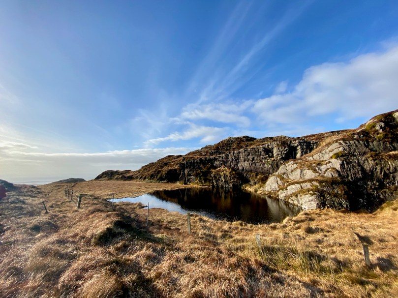
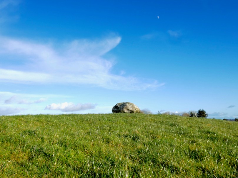
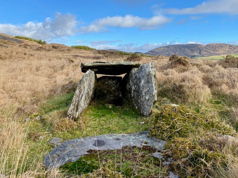
In this photograph of the Rathruane boulder burial, perhaps you can see the knee imprint and one of the finger holes. That’s Mount Gabriel in the background.
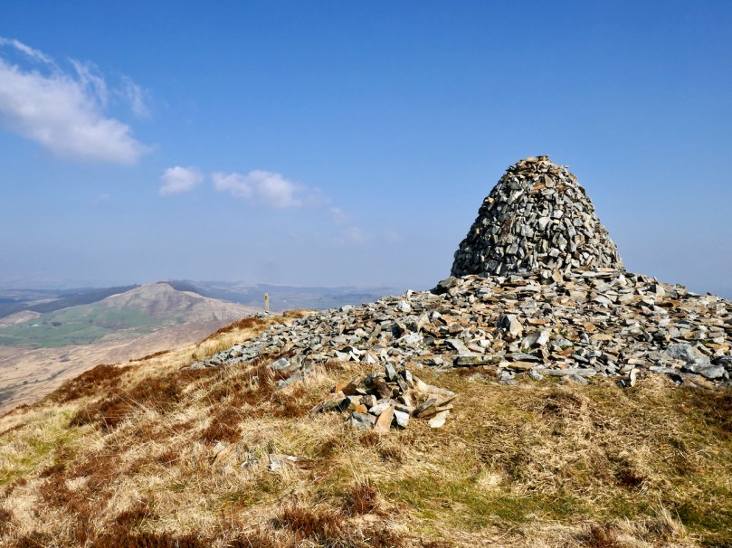
There is a cairn on top of Mount Corrin (Cnoc an Chairn).
There are two pillar stones in the townland called the Gallauns, parish of Schull, W.D.W. Carbery, Co Cork.
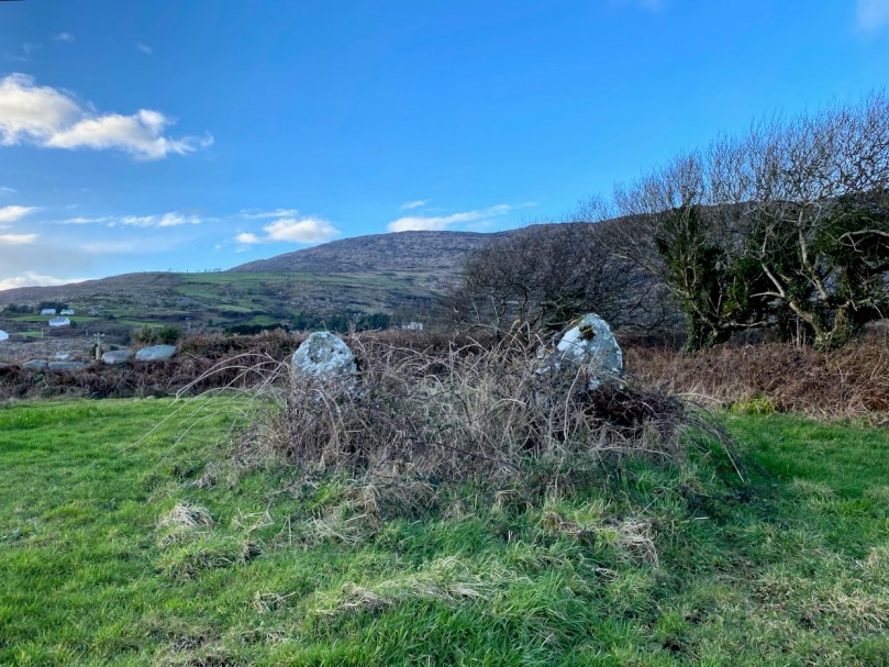
In another part of the townland there are six pillar stones forming part of a circle.
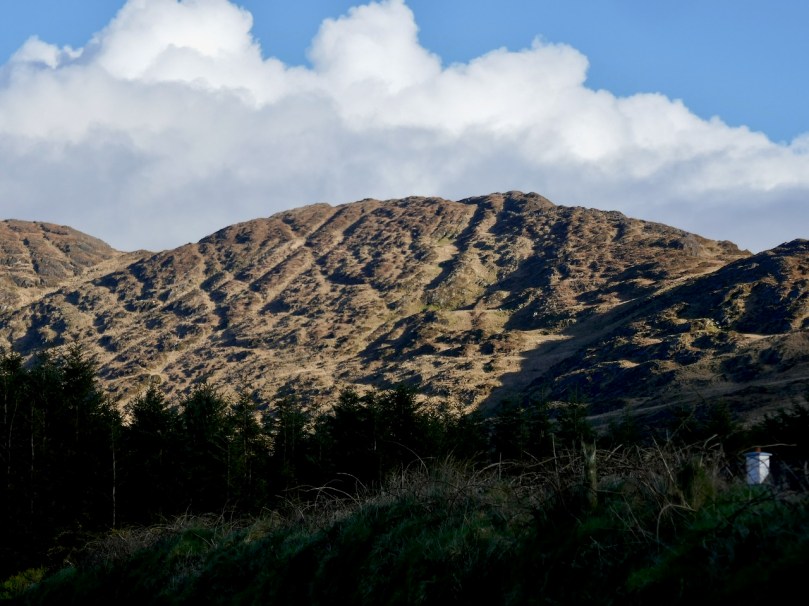
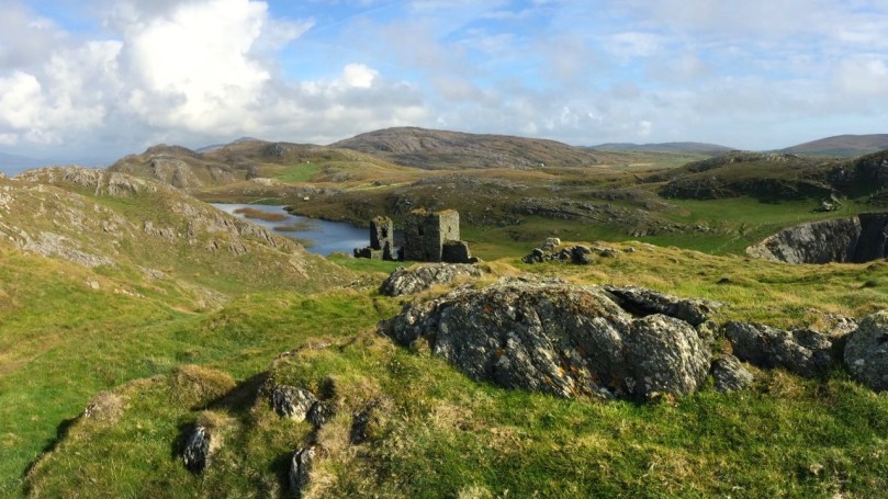
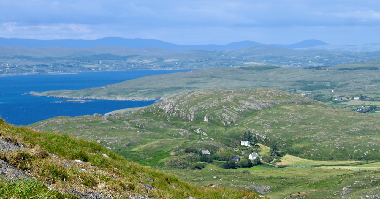
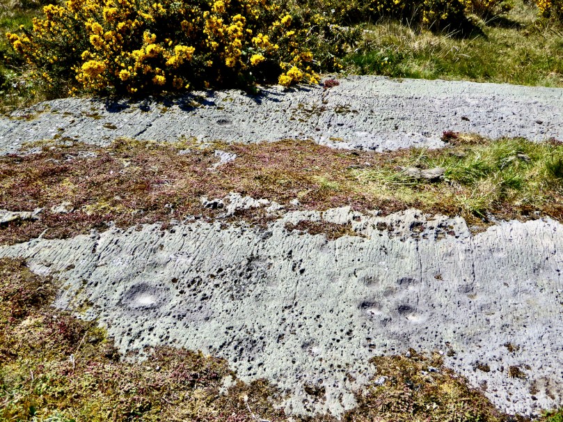
The only stone circle in the vicinity is in Dunbeacon, on the slopes of Mount Corrin, but Mount Gabriel is visible from it, as you can see in the photo above. Rita was from Rathruane, although she spells it as it is pronounced locally, Rathravane. It’s interesting that she also says There are no stones in the district with peculiar markings or strokes on them, since there is indeed rock art in Rathruane, quite close to the boulder burial. It’s an excellent example of prehistoric Rock Art, AKA cup-and-ring art.
Hannah Hayes, also from Derreenlomane has her own version of Local Monuments:
There are two large stones in Rathravane :- one in Mr. Young’s field and one in Mr. Moynihan’s field. It is said a giant threw the stone from Mount Gabriel to Mr. Moynihan’s field, and those who believe this say there is the print of five fingers in it. There are pillar stones called Galláin standing in the ground in the townland of Coolcoulachta. There are no ornamented stones in the locality.
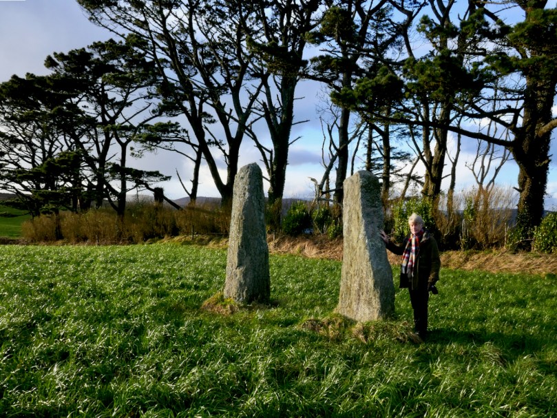
Here are the Coolcoulaghta galláns or pillar stones – they constitute a type of monument known as a standing stone pair.
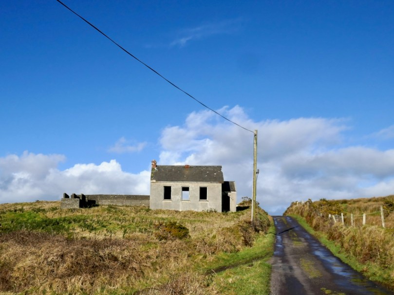
Here’s a piece from an unnamed student at Gloun School. It refers to “a kind of grave” and we wonder if this is the beautiful little wedge tomb in Ratooragh
In the western side of the Glaun hill up east of Timothy Driscoll’s there is a kind of grave. Long ago there was a chieftain living here and people say he was buried there and some treasure buried with him. On top of the clay there is a heap of stones and there is a fairly large stone standing in the centre and there is some writing carved on it.
This writing is nearly blotted out now. It was read by many people in olden times. No one ever tried to find the treasure.
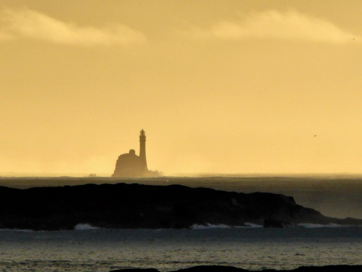
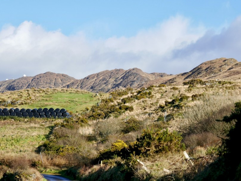
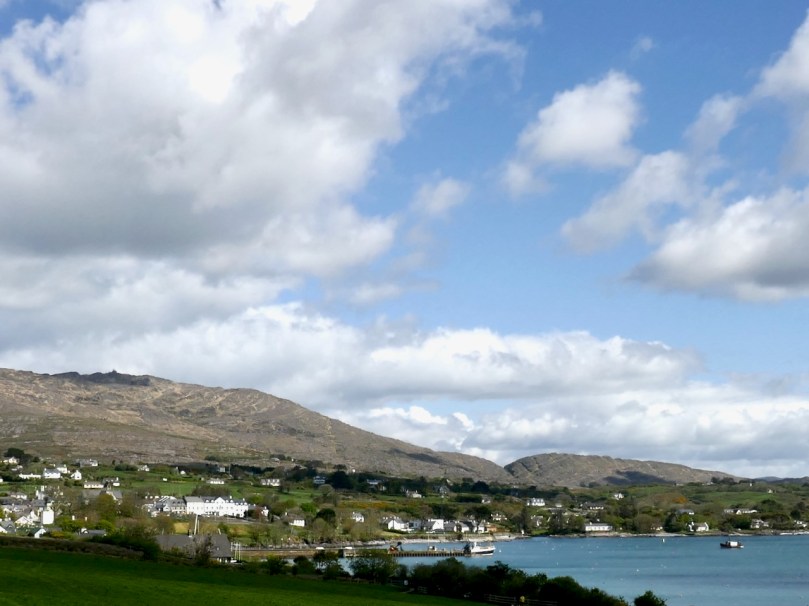
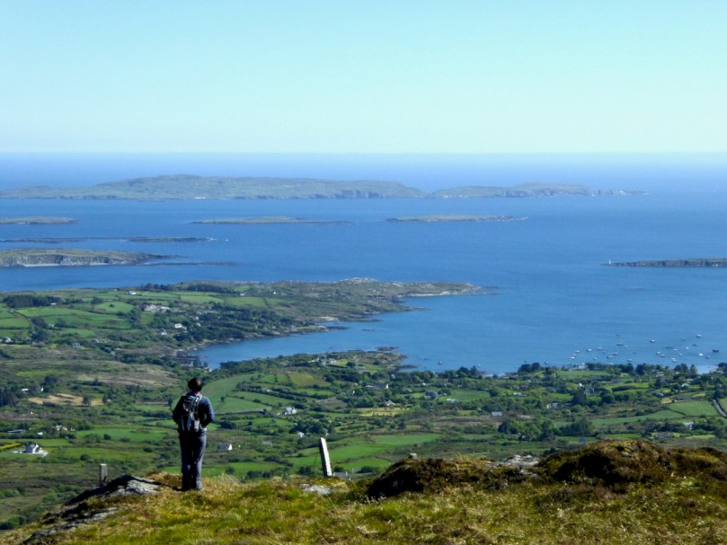
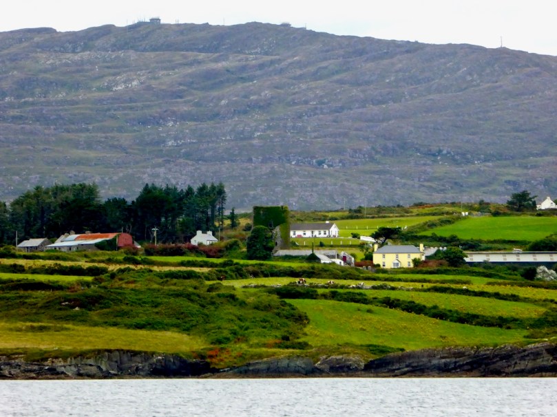
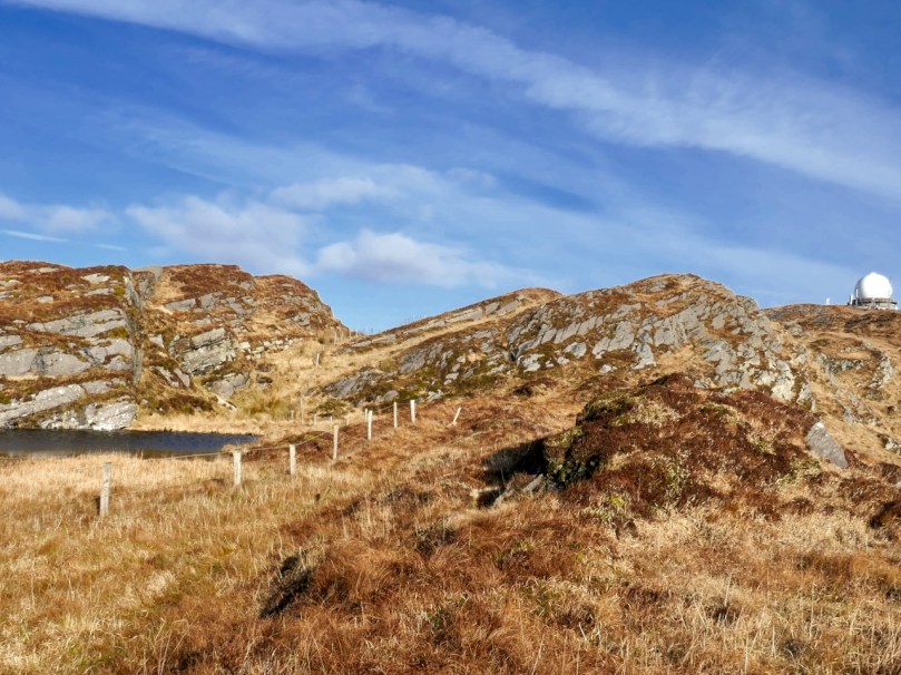
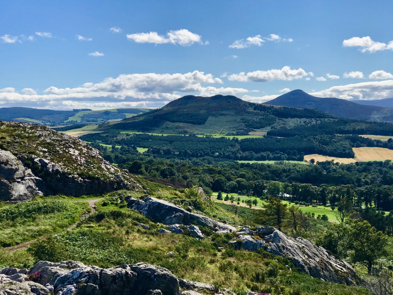
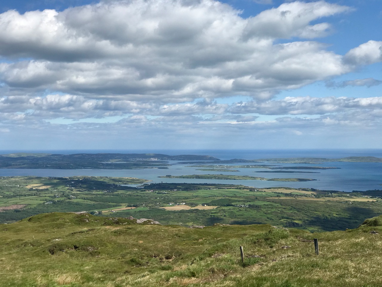
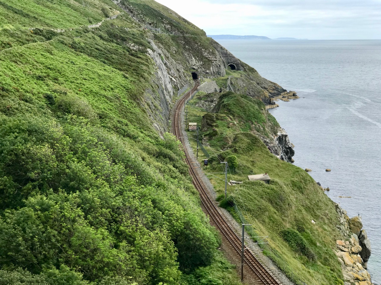
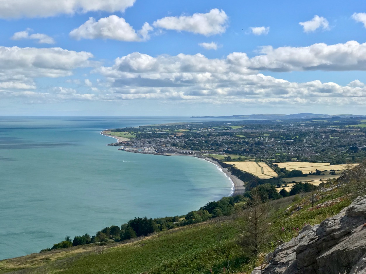
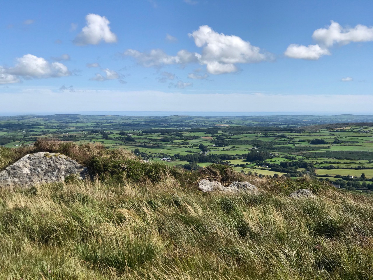
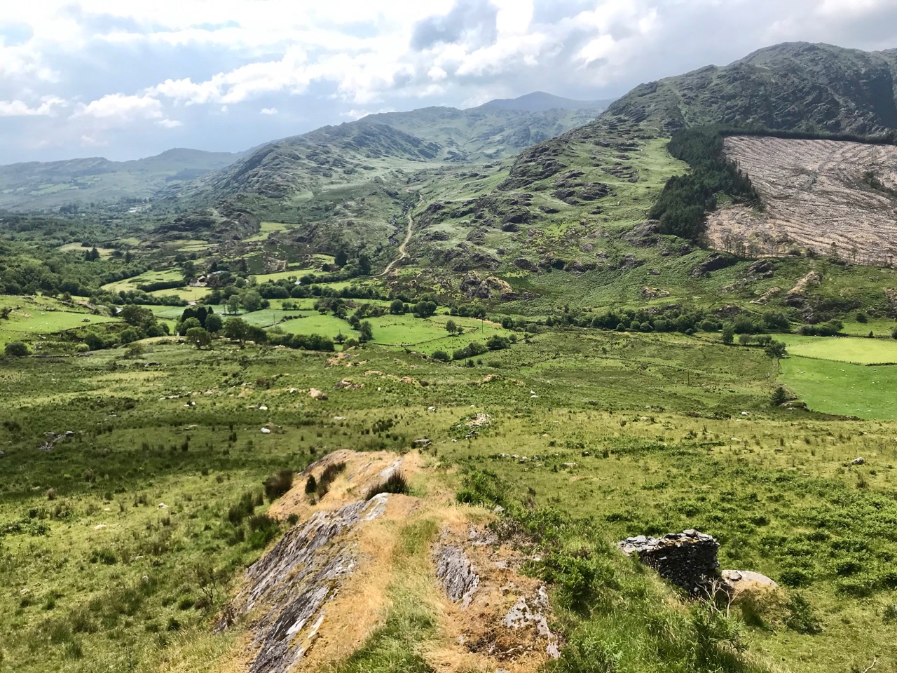
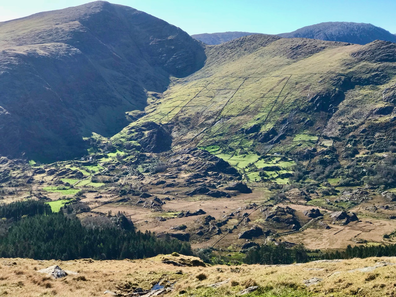
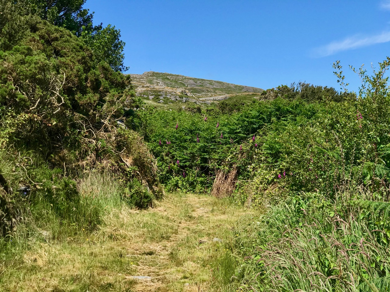
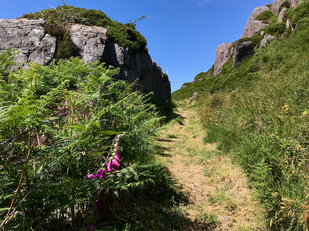
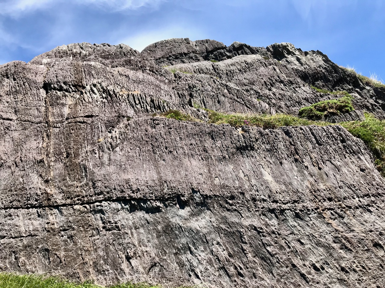
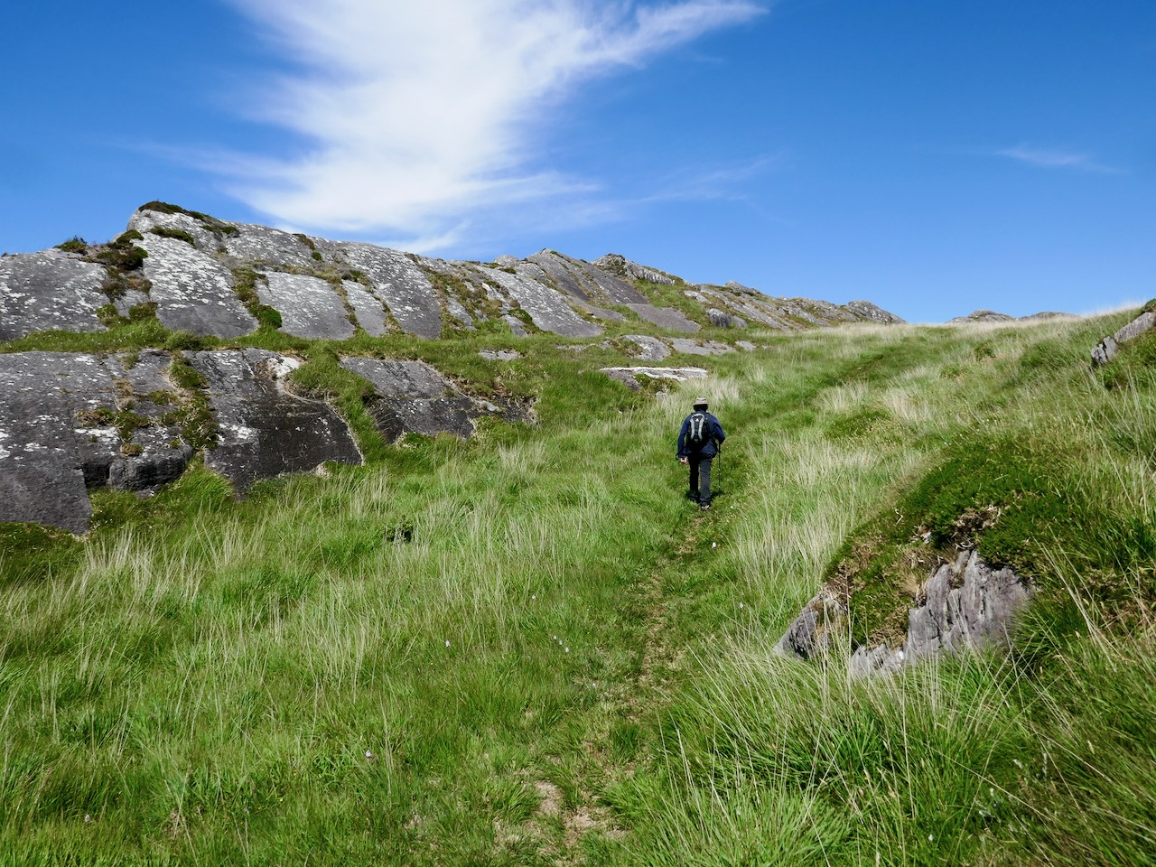
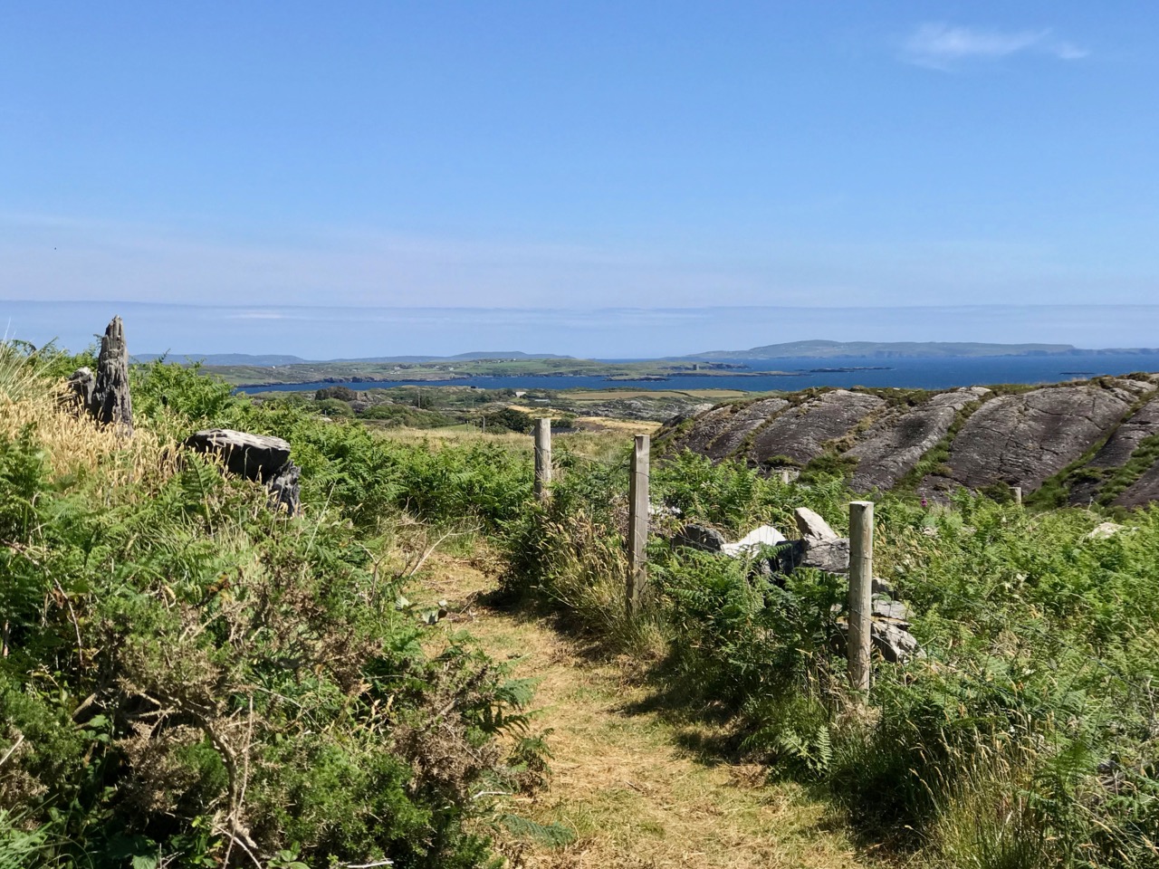
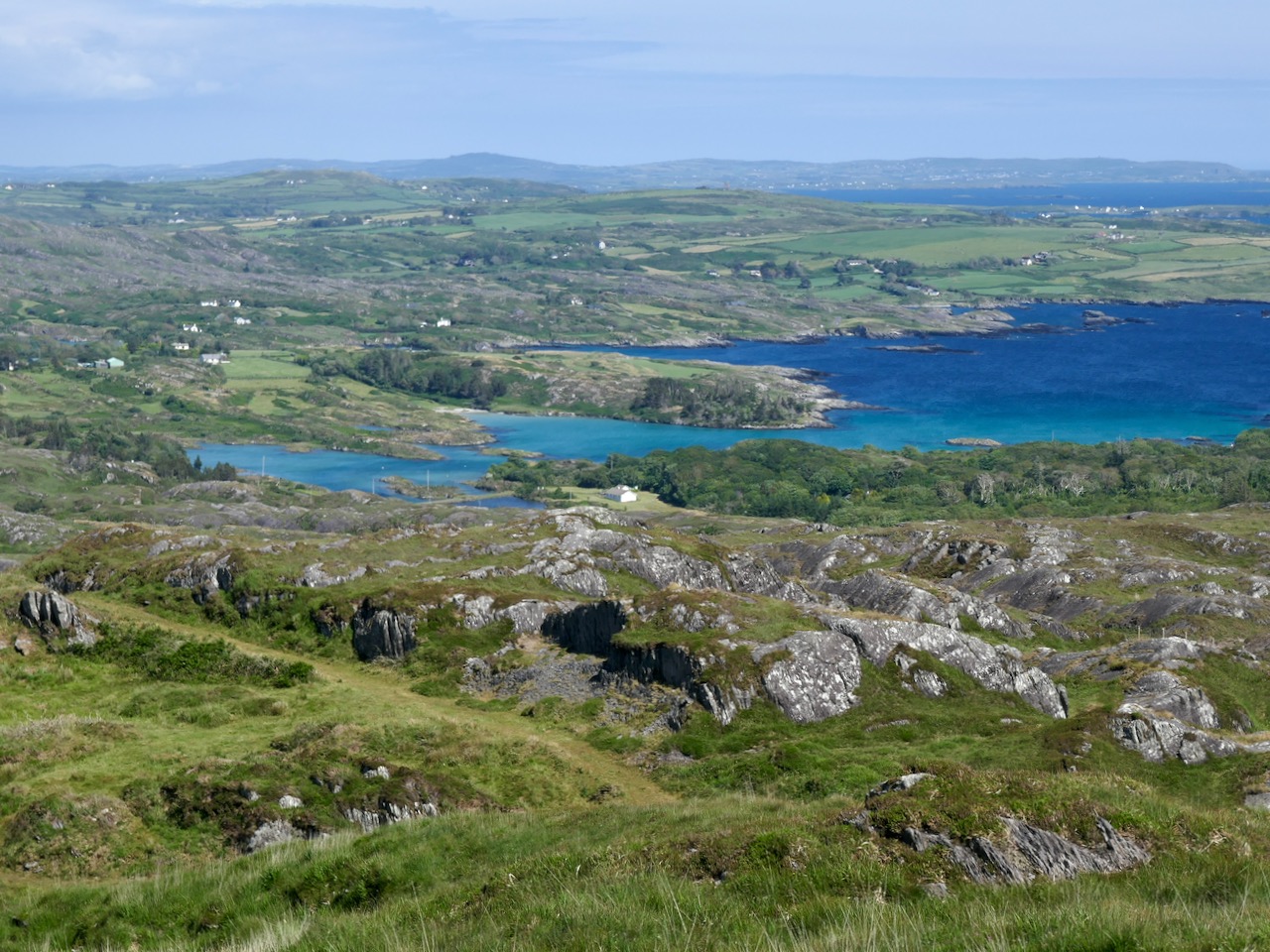
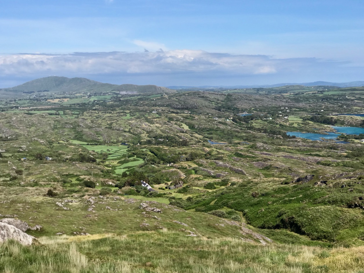
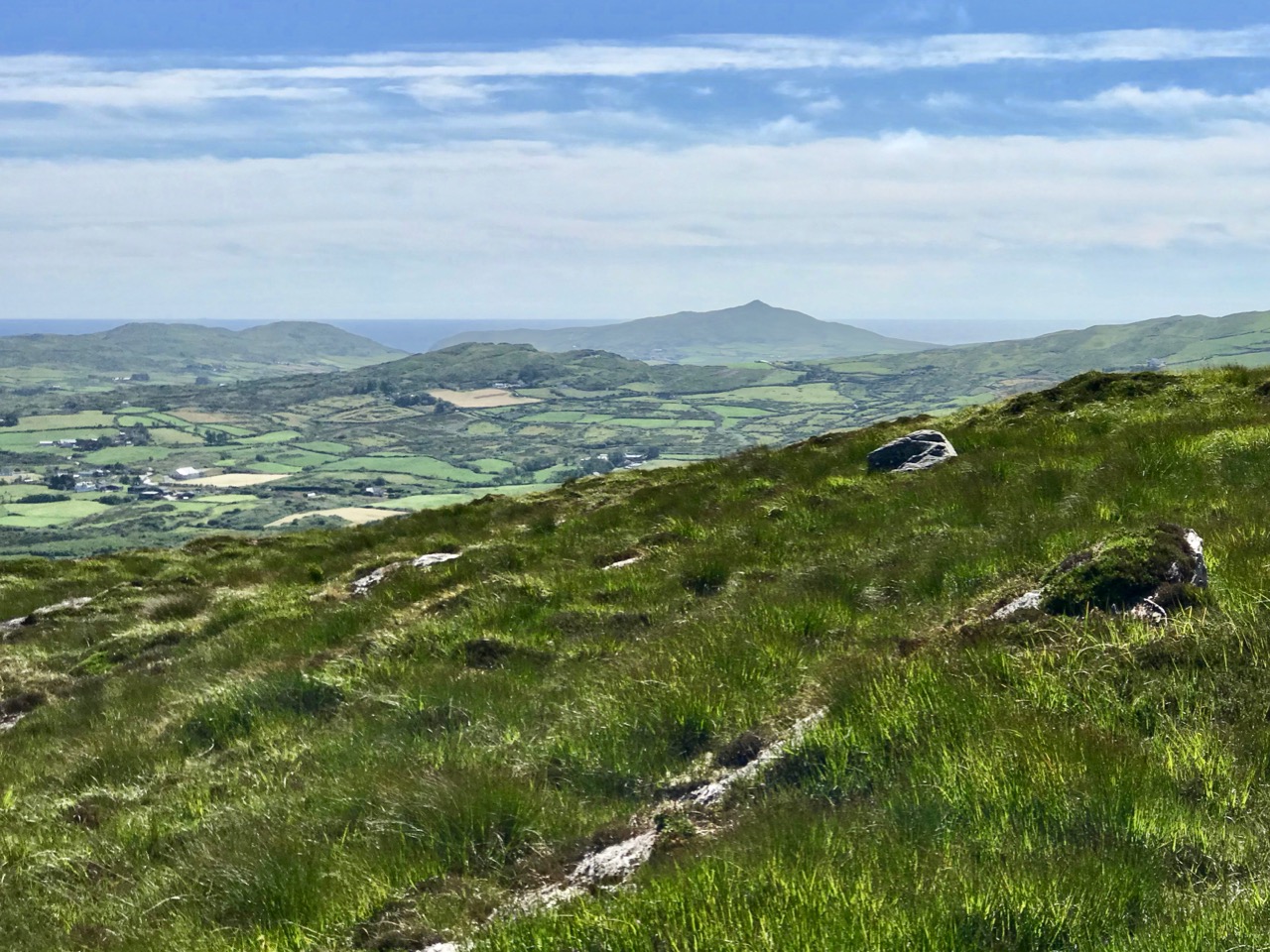
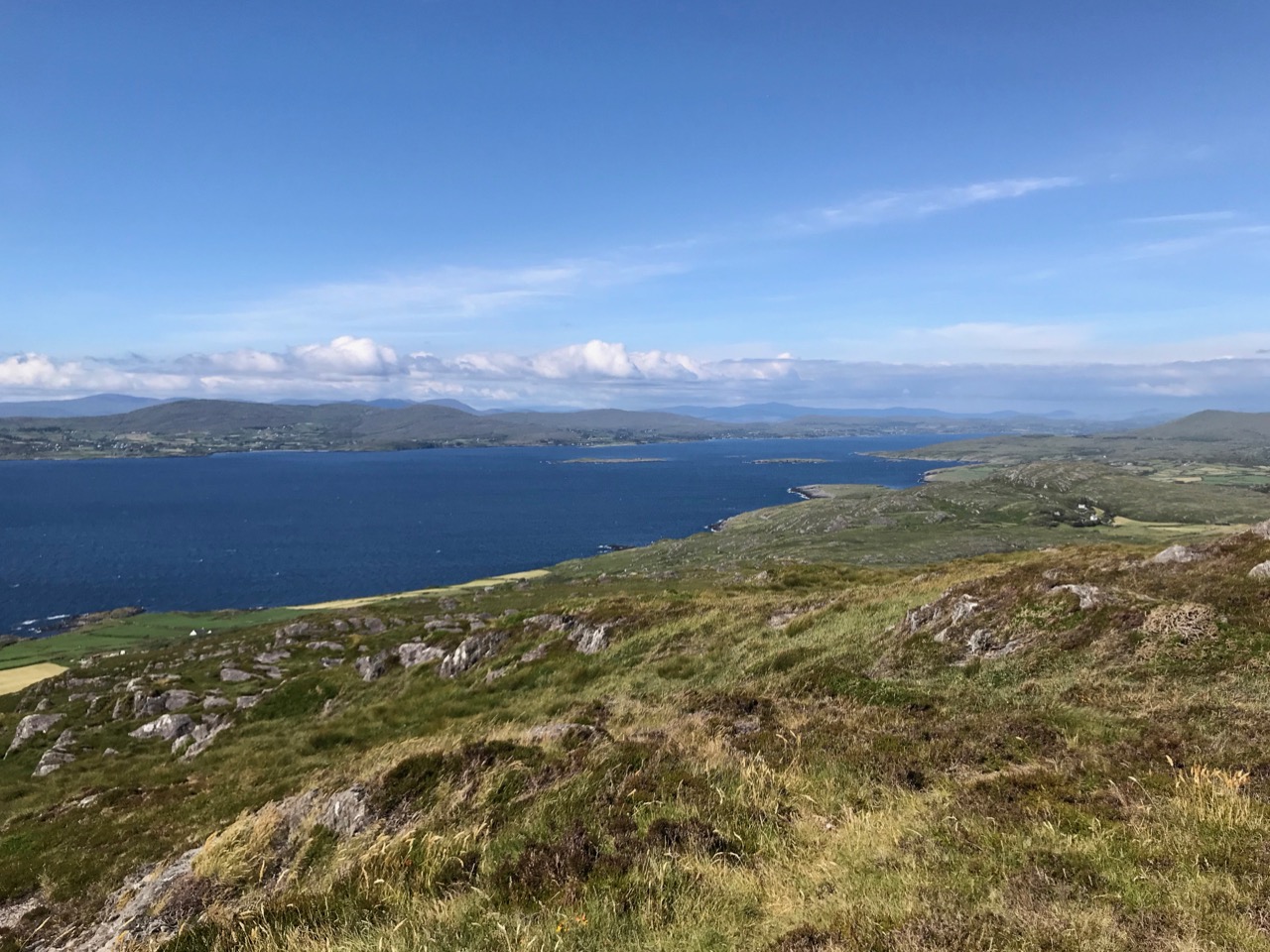
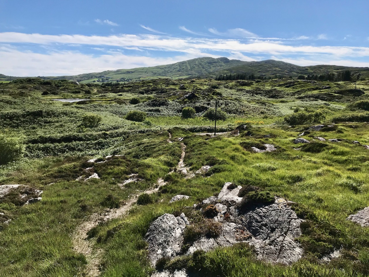
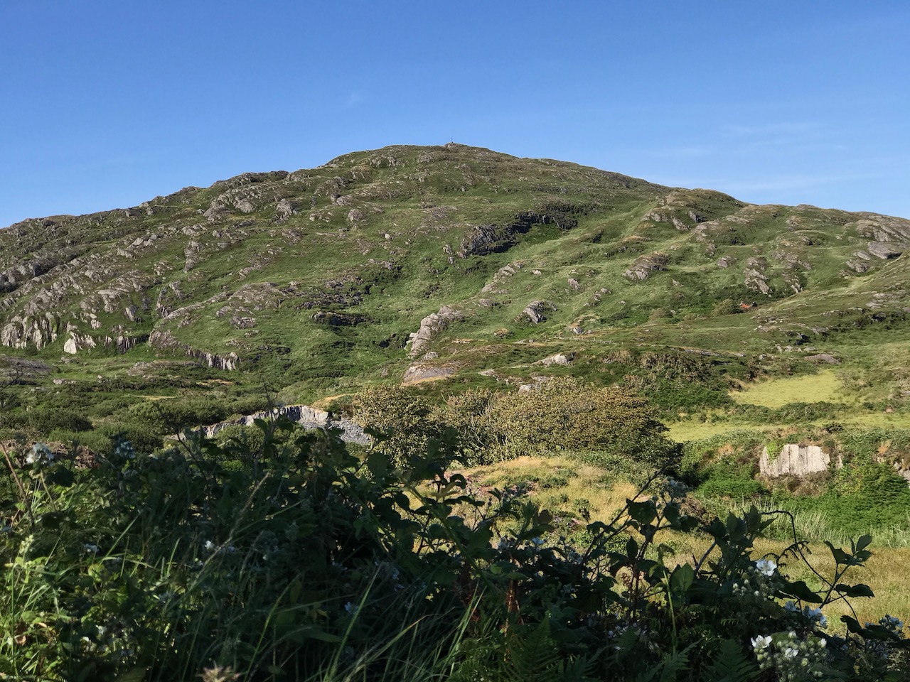
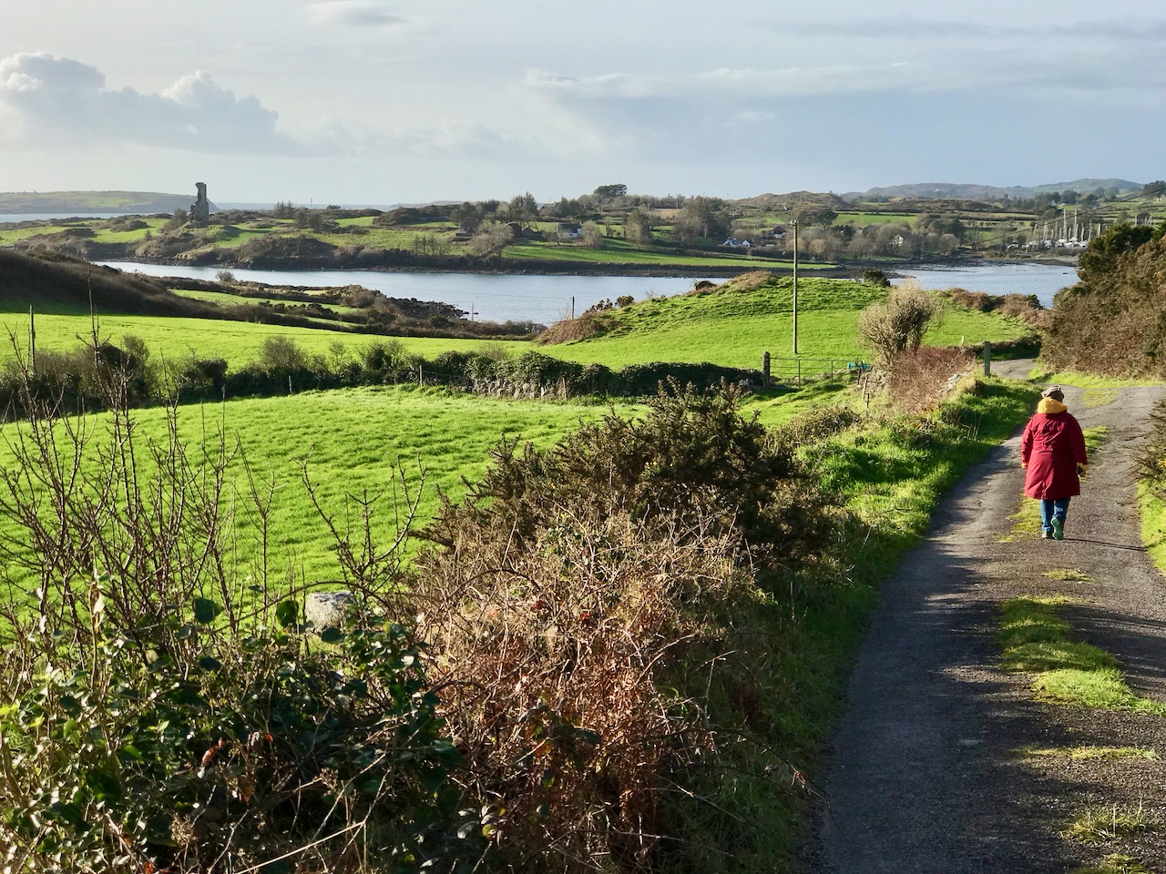
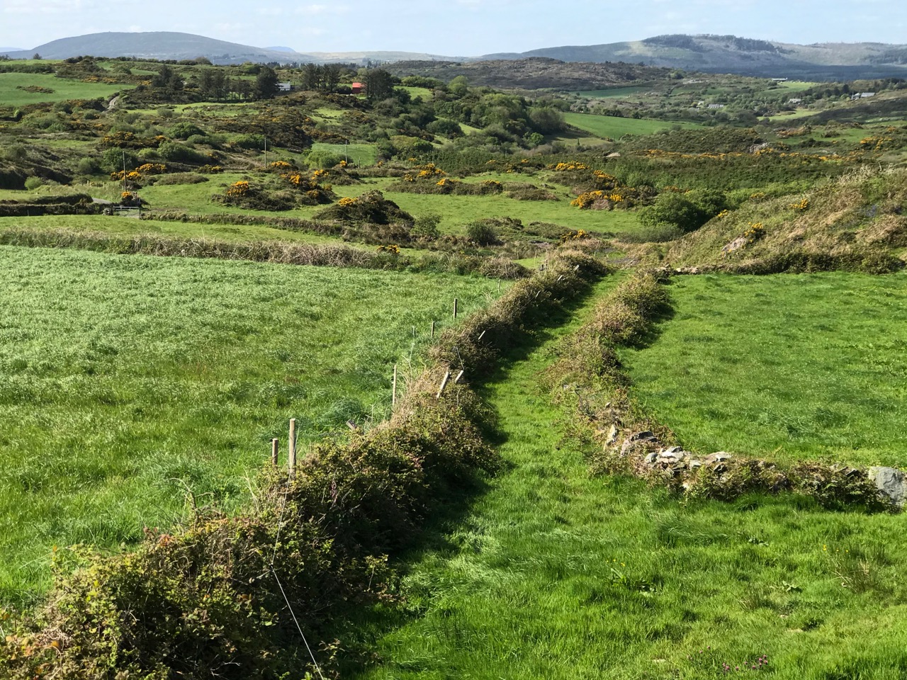
No sign now of any clay or writing but the National Monuments record does reference traces of a mound which may have covered the wedge tomb originally but is impossible to make out now. There are panoramic views from this wedge tomb, not only to Mount Gabriel and Mount Corrin (above), but west to the sea as well (below).
We know you’ll want to be out and about as soon as we all can, doing your own exploring. As an enticement, here’s a story about buried treasure, courtesy of Caitlín Ní Árnéidig of the Convent of Mercy in Skibbereen.
Under a huge stone on the slope of a hill in my father’s farm, there is said to be hidden treasure.
It is said that one day “Athach Mór”, a great giant, was challenged to throw this huge stone (at least one ton and a half weight) from Mount Gabriel to that spot on the hill. First the giant seemed unwilling to try this feat but when he began to lift the stone it seemed of no weight, and he suceeded in landing it exactly on the spot.
Under it there is said to be an unusual thing (a nest containing seven golden eggs each seven inches in diameter and filled with sovereigns).
About four perches due west of this stone is another stone, under which a similar treasure is hidden.
An old man of the vicinity recently revealed that in order to find the treasure one must draw a straight line from one stone to another, then standing near the middle of the line hold a cord in the hand and lift it an eastward direction, so that it will [words missing] the stone and a light will be seen over the spot where the treasure is.
My uncle, having heard the story, decided to prove this, so he set to work at the mysterious stone. Having drawn the line he stood near the centre and cast the string eastward. Then to his astonishment he noticed a ray of light over a small portion of the stone.
He tried to split the stone but failed though still engaged at the work he finds it impossible to do.
All you have to do is figure out the location and , crucially, what the student meant to say where the words are missing. Good luck!