The Wonders of Monasterboice

In our recent journeys around Ireland we both had opportunities to indulge our particular interests. Among them, Finola was able to take in some fine examples of stained glass and Romanesque architecture, while I concentrated on the beautiful medieval carving of a number of Irish High Crosses, to add to the examples I have written about recently.
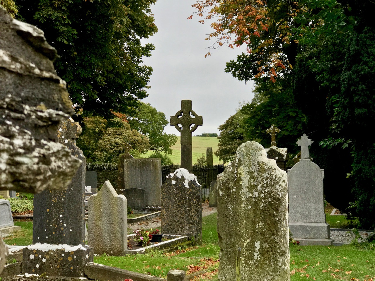
For any Irish High Cross enthusiasts (I suspect that there are many of you out there), Monasterboice in County Louth has to be on the list of ‘must see’ places. It was founded in the 5th century by Saint Buithe, a follower of St Patrick – the Irish Mainistir Bhuithe means Monastery of Buithe – and was an active and important Christian settlement through to the 12th century, when its importance was eclipsed by Mellifont. I found out that St Buithe ascended into Heaven by climbing a ladder that was lowered down to him for the purpose.

Left – a photograph of the great cross at Monasterboice – known as  Muiredach’s Cross – taken in 1905 and, right – the same west face seen today. Finola is there to show its true scale: remarkably it is 5.5m tall

Muiredach mac Domhnaill, who died in 923, was an Abbot at Monasterboice. He is  credited with commissioning the great cross, shown above. It’s not quite the tallest high cross in Ireland, but it’s said to be the finest, probably because of its stature and remarkable state of preservation. The carved panels are all legible, and the biblical stories illustrated have all been identified. An inscription on the lower section of the cross shaft states: OR DU MUIREDACH LASNDERNAD IN CHROS – A prayer for Muiredach under whose auspices this cross was made. Confusingly there was also a king, Muiredach mac Cathail, who owned the lands on which the monastery was built. He died around 867, so it is possible that the cross was commissioned by him, or was made in commemoration of him, rather than by the Abbot.
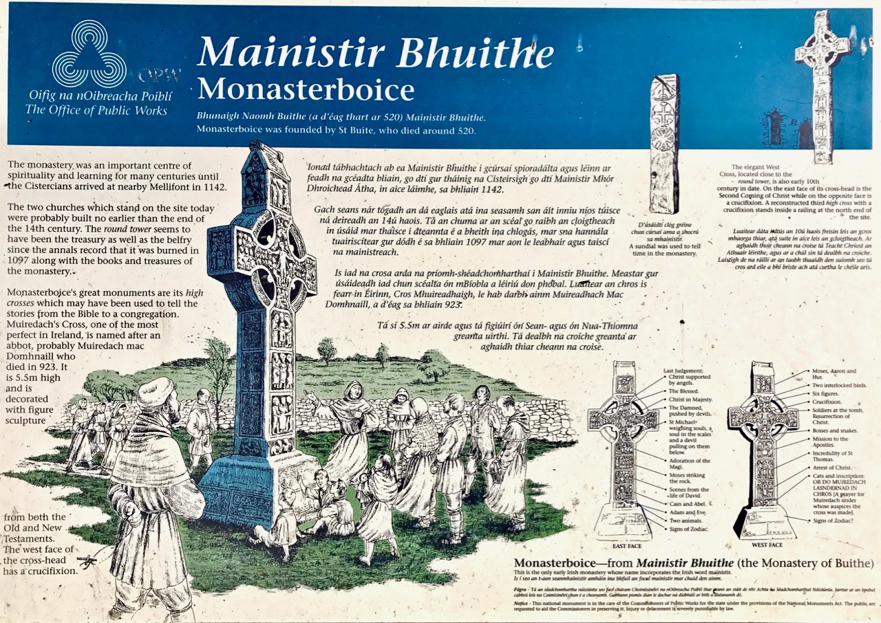
The Office of Public Works has responsibility for overseeing the site at Monasterboice. The well produced information panel details the carvings on Muiredach’s Cross

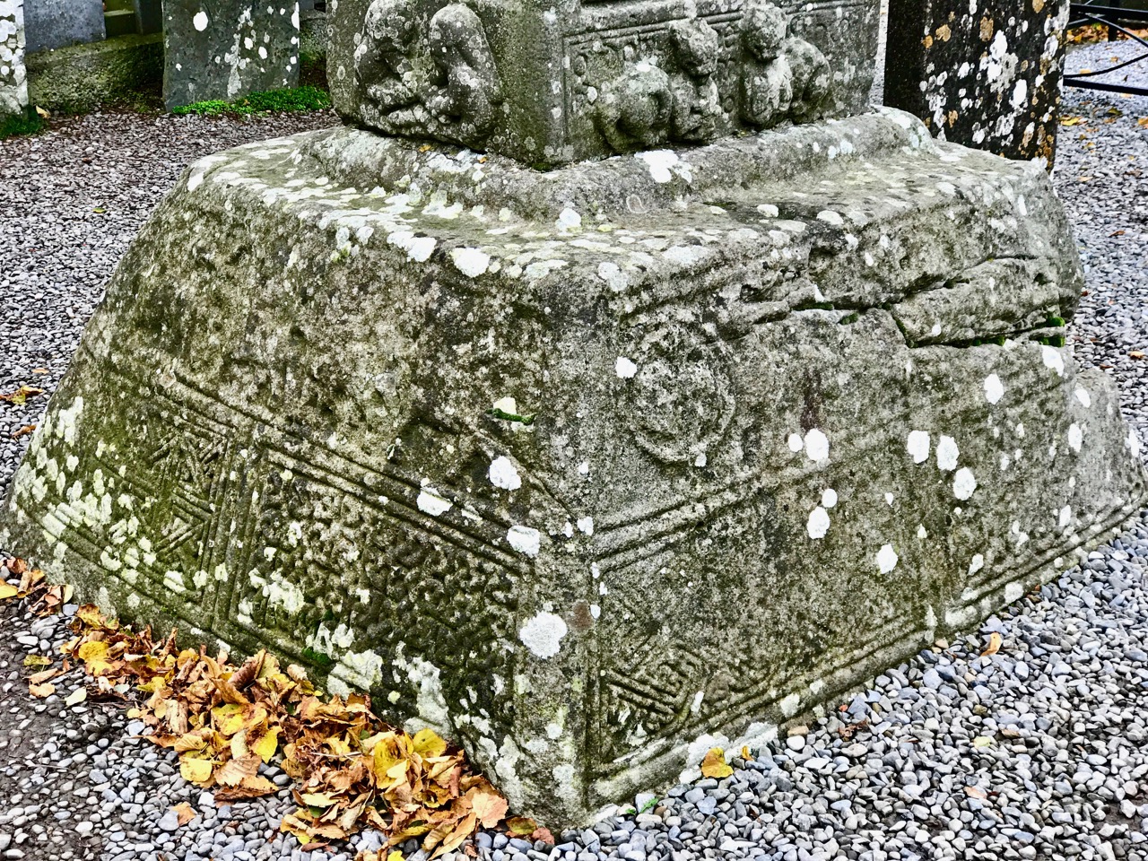
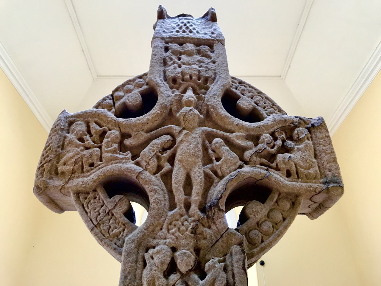
A gallery of detailed carving work from Muiredach’s great cross: the subjects include Adam and Eve and Cain and Abel; Celtic knotwork; Moses striking the rock; the crucifixion and (header) nativity scene with the Magi. The lowest picture, above, shows the decorated base, which is shaped like a saint’s reliquary and the panel with two cats and the prayer for Muiredach

This wealth of medieval art is only part of the site’s wonders. There are two more complete High Crosses, fragments of other carvings and slabs, and a round tower. The Tall Cross or West Cross is the highest in Ireland, at nearly 7 metres. Because of its size it has the greatest number of carved panels of any Irish High Cross. However, these panels are suffering from weathering much more than Muiredach’s Cross, and their present state must raise concerns for all the carvings at Monasterboice. At other sites, crosses have been sheltered (Moone) or moved into buildings (Clonmacnoise, Durrow).

The Tall Cross (or West Cross) at Monasterboice; left – in context with the round tower beyond; right – an example of a badly weathered panel on the Tall Cross
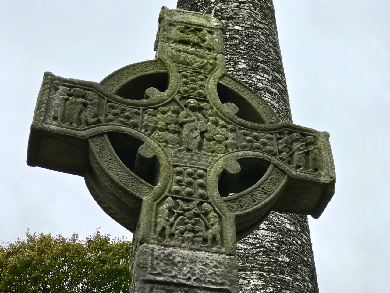
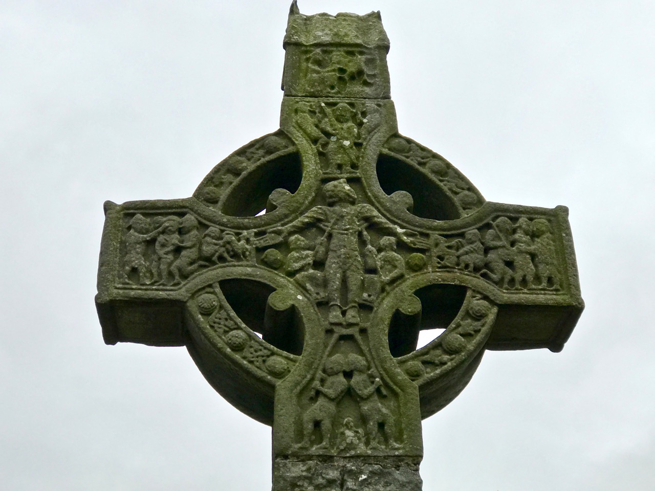
Upper – the west face of the Tall Cross cross-wheel, which is in comparatively good condition, and lower – the east face. The number of scenes depicted on these panels alone is remarkable

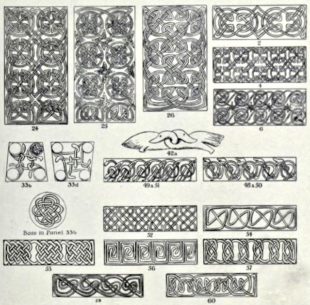
Carved panels on the Tall Cross at Monasterboice and – lower – a study of Celtic knotwork found on Irish High Crosses, taken from MUIREDACH – Abbot of Monasterboice 890-923 AD by R A S McAlister MA FSA, Dublin 1914

There is a third High Cross at Monasterboice, known as the North Cross. It is less spectacular, perhaps, than the large ones, and the carvings are comparatively minimal. Nevertheless, its modesty gives it a somewhat more refined character. Close to the North Cross are some fragments, including part of a medieval sundial – reminiscent of the one we saw at Kilmalkedar, County Kerry, earlier this year.
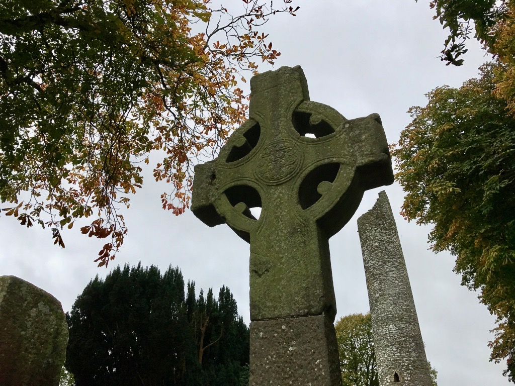
Upper – the North Cross with the round tower in the background; lower left – North Cross east face and, lower right – nearby fragment of a medieval sundial

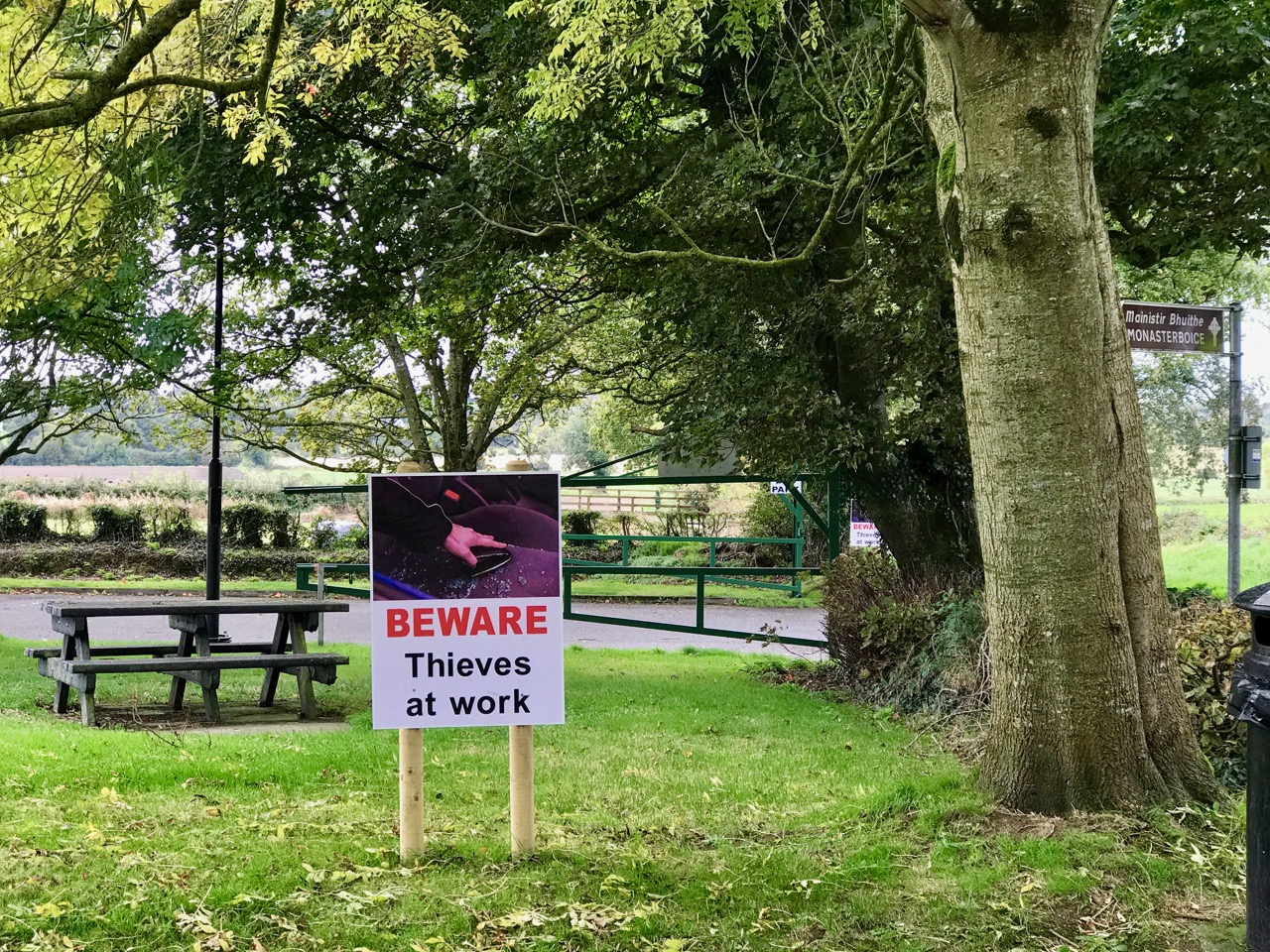
Monasterboice displays so many wonders. Yet, in some ways, it’s an uneasy site. It’s probably not helpful – but perhaps essential – that the parking area a little way off is rife with warnings about thieves, and broken glass is evident. There have also been reports of vandalism against the monuments themselves – emphasising their vulnerability. The place is of major importance: during the summer season the site is attended, and guides are available. We were there in early October, when no-one was around.
This site – and similar ones all across Ireland – are vitally important to the heritage of this country. The artefacts are irreplaceable, yet too little resource is given to protecting them – from weather and people. As we know from our forays into the world of Prehistoric Rock Art, stone carvings are fragile, and under-appreciated. There’s no obvious easy solution, apart from them being given higher status and priority by the empowered bodies such as the Office of Public Works. They, in turn, need to be given more support by the State, particularly in terms of funding: they do the best they can with very limited resources.

Cats on the base of Muiredach’s Cross, recorded  by McAlister in 1914:

Circumnavigation

It’s a hop and a step from down here on the Mizen (Ireland’s most south-westerly point) up to the top of the island: people are doing it all the time, on foot, by bicycle, by boat… We thought we’d do it as a road trip – in fact, why wouldn’t we circumnavigate the whole of Ireland? We did – it took us three weeks.
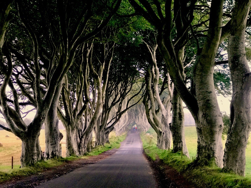
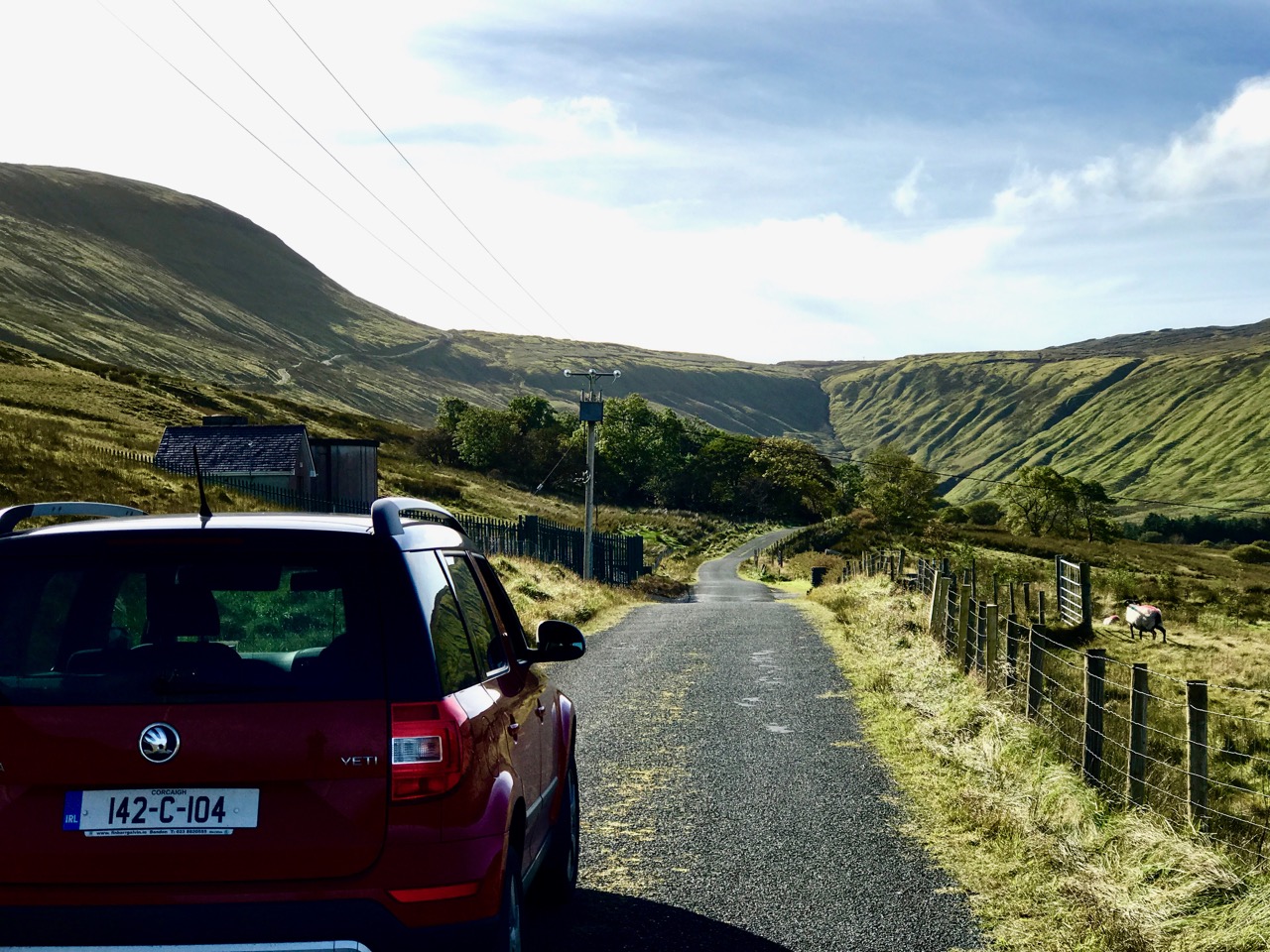
Header – the Dark Hedges, Ballymoney, County Antrim, Northern Ireland. Planted by the Stuart family in the eighteenth century to enhance their Georgian mansion of Gracehill, it is now much visited as it features in Game of Thrones. It’s good to know that traffic can no longer go through this avenue, as it has suffered damage in recent times. Above, one of the many byroads that we sought out on our journey around the island: this one is the loop road behind Ben Bulben in County Sligo

It was a most fascinating and educational trip, particularly for me: most of the places I had never visited before. Finola was more familiar with her own country, although for her it was a voyage of rediscovery. In many cases she saw how much had changed over years of boom and bust, while elsewhere her memories were reawakened.

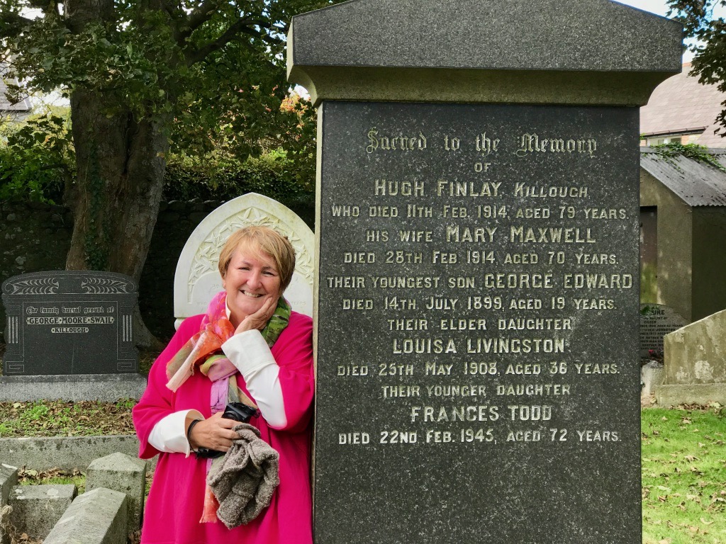
A voyage of rediscovery: Finola’s Great Grandparents are buried here in Killough, County Down, Northern Ireland

This is but a short summary of our travels: a taster. Many of the places we visited will feature in future posts here. As you can imagine, Archaeology, Romanesque architecture, stained glass, saintly shrines, pilgrimage sites, holy wells, stunningly beautiful land- and sea-scapes, and social history were prominent in our must-see itinerary. But we found we were also following in the footsteps of Irish poets. And British eccentrics.

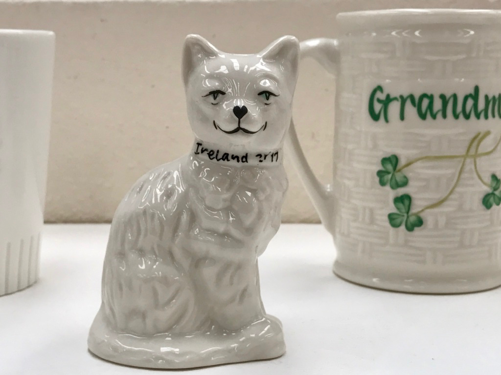
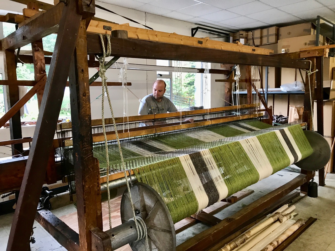
Craftworks: we visited the Belleek Pottery, County Fermanagh, Northern Ireland – which has been operating continuously since 1884 (upper), and (lower) Glebe Mill, Kilcar, County Donegal – where we could watch traditional handweaving on enormous looms

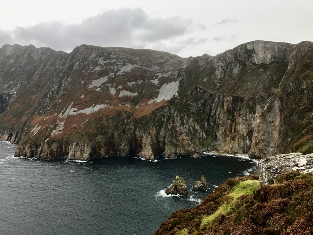
I prefer to stay off the more heavily trafficked tourist spots, but we made exceptions for Europe’s highest sea cliffs at Slieve League, County Donegal (three times the height of the Cliffs of Moher! Beautiful and very wet) and for the Giant’s Causeway. After all, this features strongly in the stories of Finn McCool. I thought that the inevitable crowds were catered for very well and – if you are prepared to walk away from the main site – you can have the spectacular cliff paths largely to yourselves. In Northern Ireland I was very struck by what an asset the National Trust is, for it preserves and makes accessible so many properties and areas of outstanding beauty. If only the Republic had a similar well funded body…

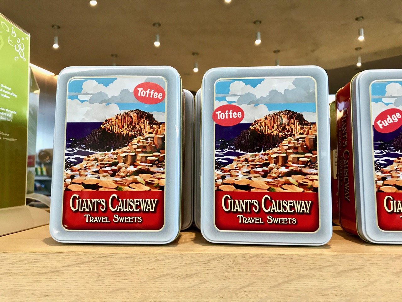
Top – the cliffs at Slieve League. Lower – Giant’s Causeway on a stormy day, and souvenirs in the National Trust’s Causeway Visitor Centre

It would, perhaps, be unreasonable to pick out a ‘best’ destination that we visited, but I must say that I was probably most impressed by the medieval sites: we took in many. It’s amazing that right off the beaten track you can find stunning ancient carvings and artefacts tucked away and – sometimes – not even signposted.

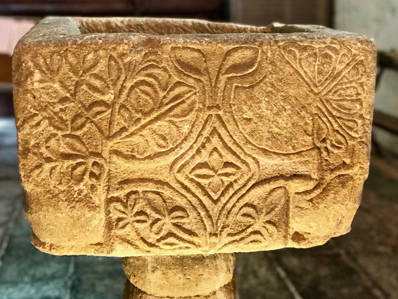
Upper – the superb High Cross at Durrow has been protected and conserved, but it’s not signposted from the busy road that passes nearby. Centre – the beautiful shrine that holds the relic of the True Cross in St Peter’s Church, Drogheda, County Louth: the same church holds the head and remains of Saint Oliver Plunkett. Lower – 13th century font in St Flannan’s Cathedral, Killaloe, County Clare

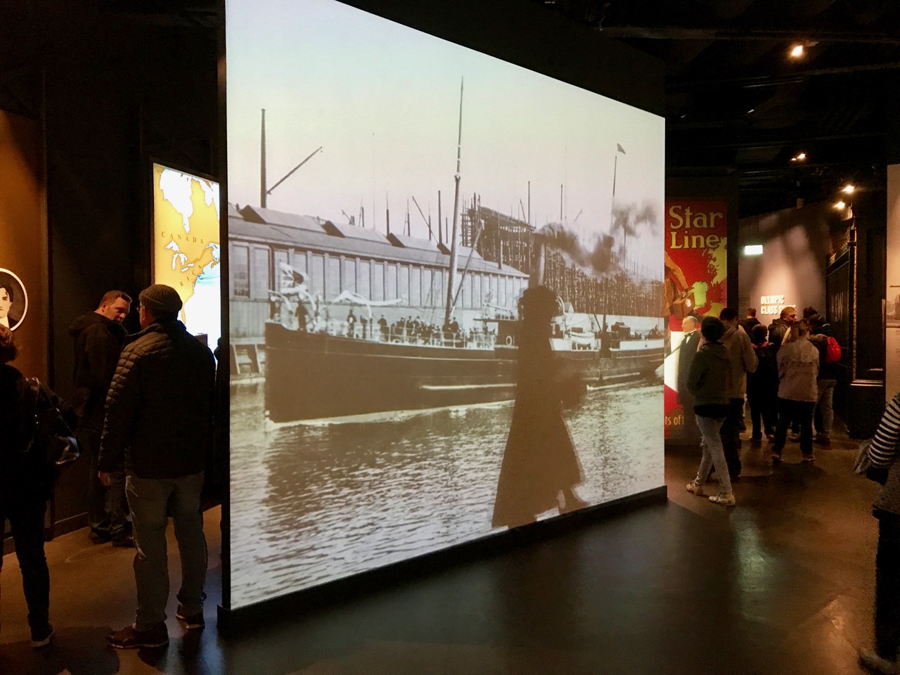
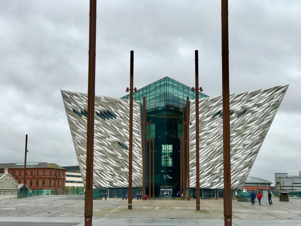
Our travels were punctuated with a whole variety of experiences, impossible to summarise in one short post. We took in Derry – the only completely walled city in Ireland and one of the finest examples in Europe: we walked the whole length of the early seventeenth century structure. Belfast was intriguing. We undertook the Titanic Experience, and were duly impressed with the building and the exhibitions. We also toured the whole city in the hop-on-hop-off bus: a full two hour tour of everything with a thoroughly enlightening commentary – a good way to keep out of the rain!

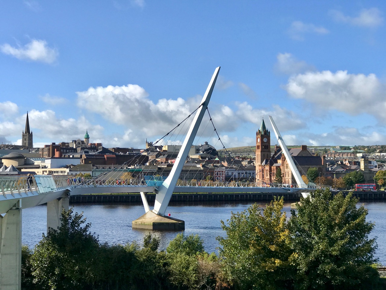
Upper – the Peace Bridge in Derry. Lower – the Titanic Experience, Belfast: the exhibition and the building. The external shot is taken from the enormous slipway which was used to launch the ship

We’ve only just got our breath back from all the travelling (although we always went at a leisurely pace with plenty of stops for investigation and coffee). Between us we took well over 5,000 photographs! You’ll see a good few of them in due course.

Often it’s the simple things that impress the most: just little vignettes of Irish life. We would thoroughly recommend a slow exploration of this land – ambling along the byroads and keeping a weather eye open for new experiences. Have a good time!

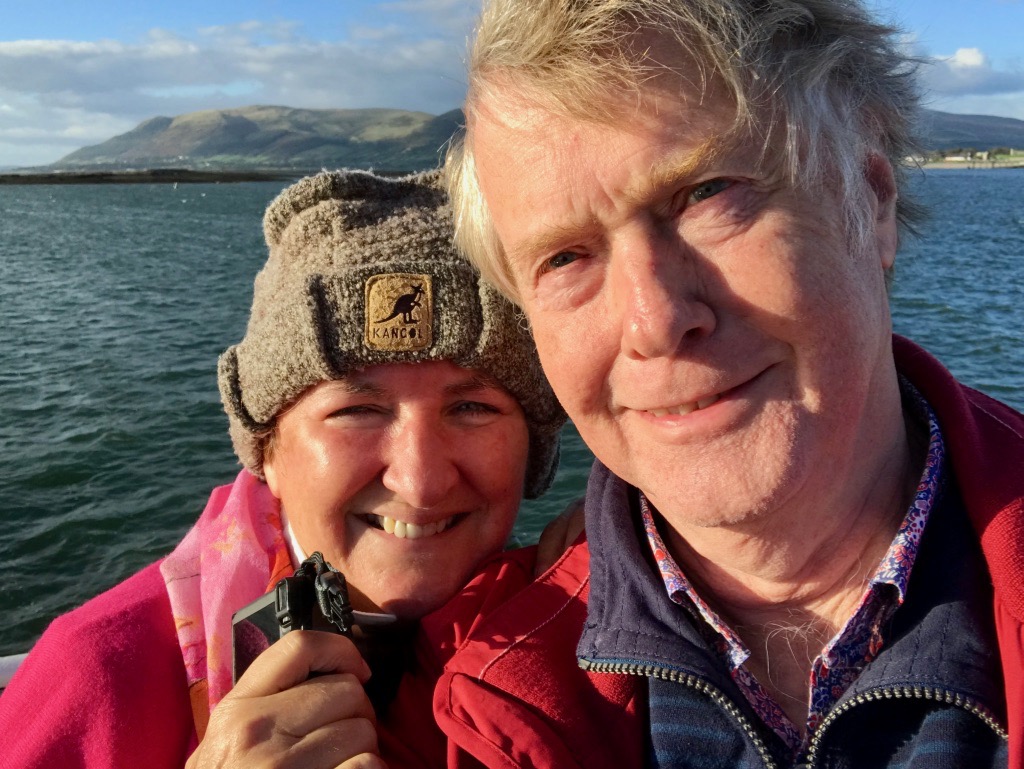
We are not averse to the odd selfie! Here we are on Carlingford Lough with the Mountains of Mourne behind us… Today it’s an invisible border between Northern Ireland and the Republic: what does the future hold?

On the Passing of Poets

Ireland: ‘land of Saints and Scholars’ – and poetry, as we found on our travels. In just a few days we have discovered how three pre-eminent Irish poets – whose passing has spanned a century – are being celebrated and commemorated in their own townlands.

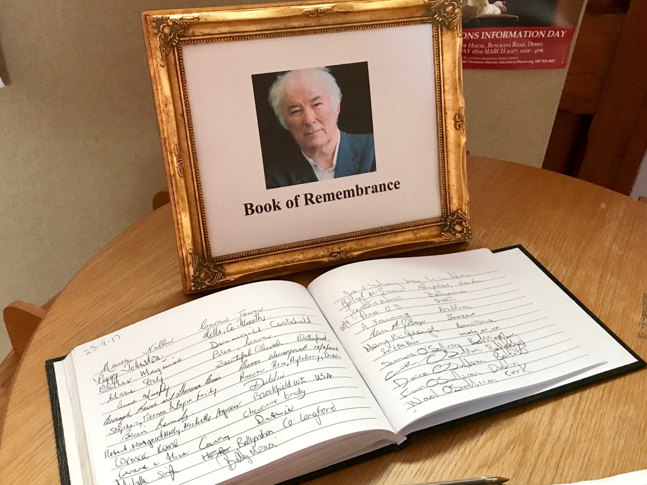
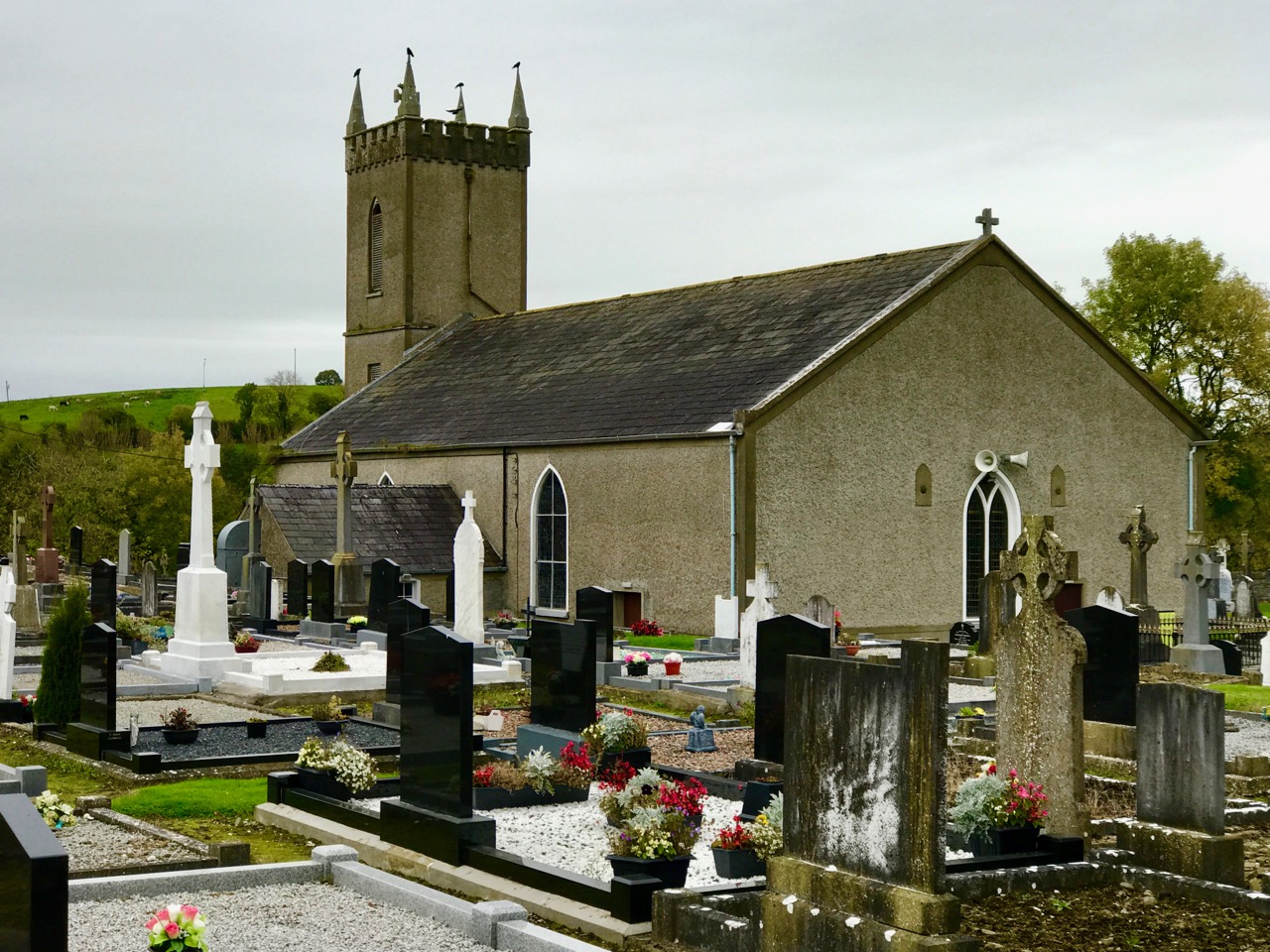
Bellaghy, County Londonderry, in Northern Ireland was the childhood home of Seamus Heaney  who was born at nearby Mossbawn on 13 April 1939, the eldest of nine children. Heaney passed away on 30 August 2013 and, in accordance with his own wishes, he is buried in the Cemetery of St Mary’s Church, Bellaghy. A Book of Remembrance is kept in the church, and on his headstone is a line: Walk on air against your better judgement, from one of his poems – The Gravel Walks.

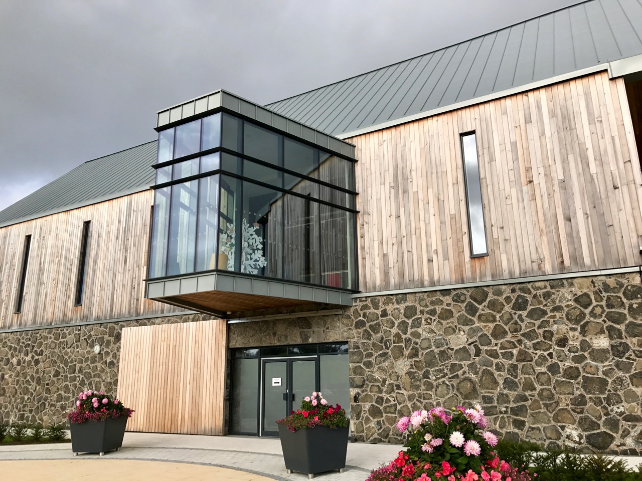
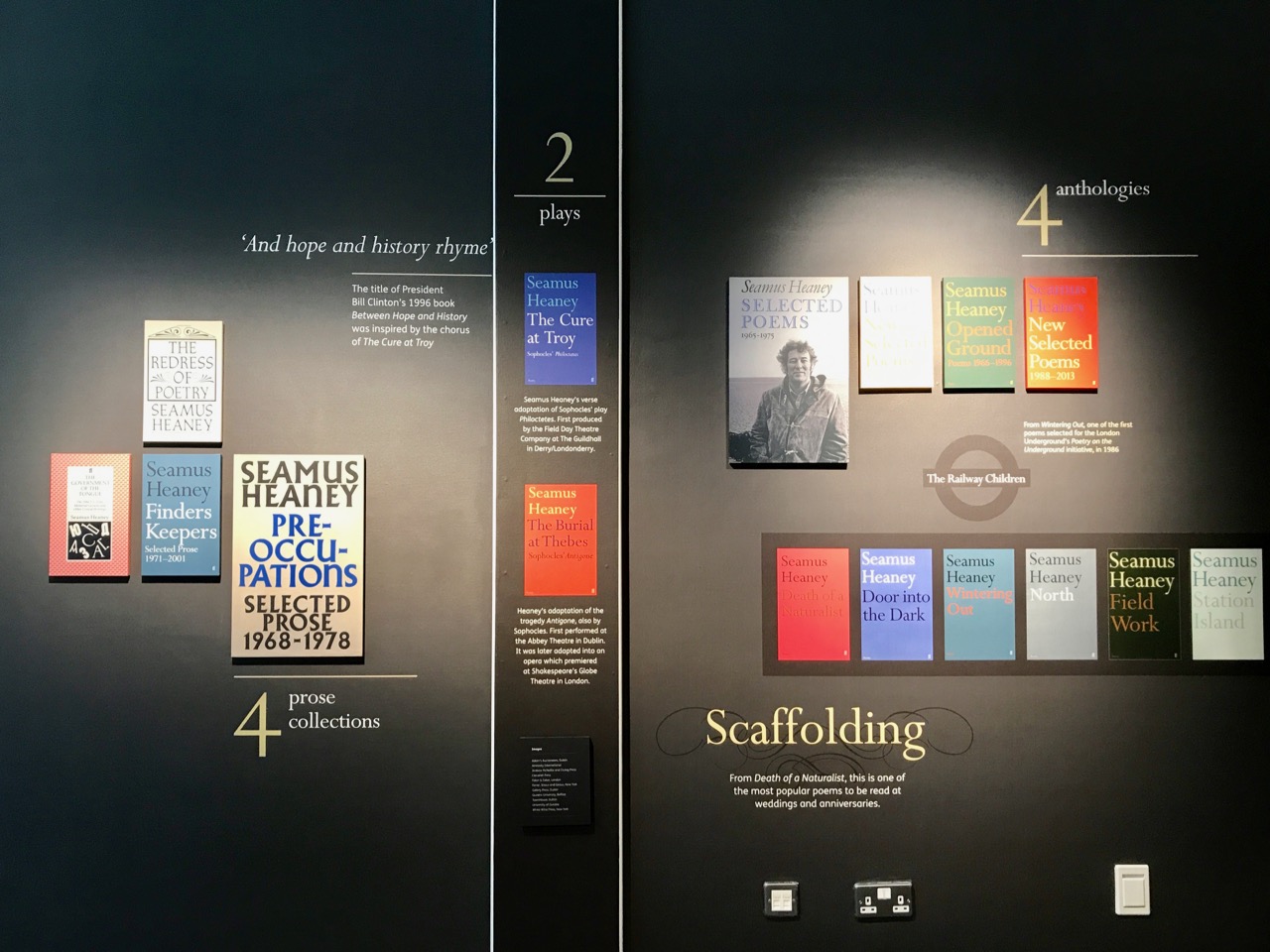
Exactly a year ago – October 2016 – a new building was opened to commemorate Heaney, the Nobel Prize winner, who has been described as ‘…the most important Irish poet since Yeats…’, ‘…the greatest poet of our age…’ and ‘…probably the best-known poet in the world…’ The quality of the HomePlace centre reflects this reputation and provides excellent facilities for the sheer exploration of words as well as performance, lectures and research.

This year sees the 50th anniversary of the death of another of Ireland’s country-born poets: Patrick Kavanagh. We visited Inniskeen, County Monaghan, to search out the old St Mary’s Church, which has been transformed to a Centre – open to the public – which displays information on the poet born and raised on a nearby farm in 1904, the fourth of ten children. The Centre also carries out research into the poet’s life and work, and organises an annual event to celebrate him. I am grateful to the staff of the Centre for allowing me to photograph the interior of the former church.

Appropriately, the grave of the poet can be found in the churchyard. Strangely, an elegant memorial to the poet and his wife (below left) vanished in 1989 and was replaced with a simple wooden cross (below right), said to have been carved by his brother, Peter. I could not get to the bottom of this matter: there are various reports to be found on the internet, including this one from RTE.

Like Heaney, Kavanagh’s strong influences came from his rural background. Some of his best-loved works portray country life, but without sentimentality. He remained on the farm in Monaghan until 1931, when he walked the 80 kilometres to Dublin. At first rejected by the literary establishment, his work eventually received appreciation. Seamus Heaney acknowledged that he had been influenced by Kavanagh.

When Kavanagh died on 30 November 1967, at the age of 62, he was recognised as …Ireland’s leading poet in English…

For our third commemoration we travelled to Slane, County Meath, to find the Francis Ledwidge Museum. This poet died exactly a hundred years ago, a victim of the Great War.

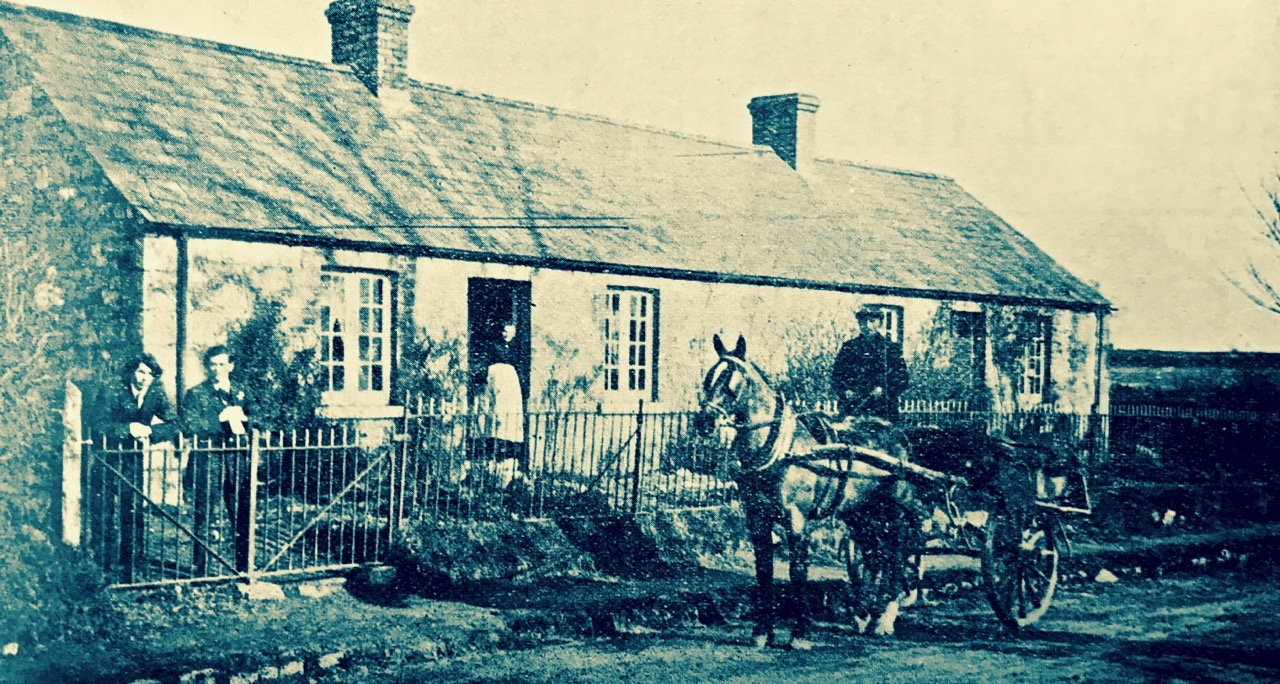
The Museum has been created in the cottage where Francis was born on 19 August 1887, the eighth of nine children. Again, he came from a rural background. His father died when he was only five, and he spent much of his life as farm hand, road builder, and copper miner. He was an active campaigner for better working conditions, became an early Trade Unionist, and attempted to organise strikes.

The Ledwidge cottage in Janeville, Slane, around the end of the nineteenth century (top), and the cottage – now the Francis Ledwidge Museum – today (lower)

Francis had written poetry all his life, and some was published in local newspapers when he was 14 years old. He attracted the patronage of Lord Dunsany, who introduced him to W B Yeats. Like many other artists, writers and poets, Ledwidge’s life was tragically cut short by the war. In the Third Battle of Ypres he and five companions were hit by an exploding shell. Father Devas, a Chaplain who was a family friend, recorded ‘…Ledwidge killed, blown to bits…’ A memorial was raised to him on the place of his death in Belgium, and a replica of this memorial can be found in the garden of the Janeville cottage.

Seamus Heaney also acknowledged Ledwidge as one of his influences

During our travels we have seen that poets in Ireland have respected the work of their compatriots. Wordsmithing is a time-honoured profession: there’s a common thread running from the Bards of old, who carried traditions, myths and genealogies through generations and over centuries.

Below – a portrait of Seamus Heaney by the Welsh artist Jeffrey Morgan hangs in the HomePlace Centre, Bellaghy

Edifying and Eccentric – The Earl Bishop

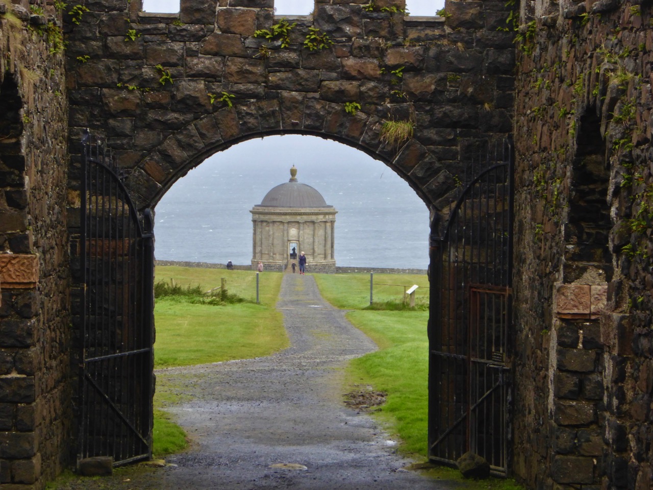
Finola had always wanted to visit Mussenden Temple and the ruins of the nearby great house on the Downhill Demense: it’s only a few stones’ throws from Nead an Iolair, so off we went on a stormy Sunday – the first day of October.

The house was built by the eccentric Frederick Augustus Hervey (1730-1803). Being the third son of the even more eccentric Lord John Hervey, he did not expect an inheritance and tried law (unsuccessfully) before entering the church. His eldest brother George was appointed Lord Lieutenant of Ireland in 1766 and, although he never set foot in the country, he managed to engineer Frederick’s appointment as Bishop of Cloyne then, shortly afterwards, Bishop of Derry, one of the wealthiest Irish sees. While in this post Frederick had the notion to establish a huge estate (apparently with the help of Diocesan funds) on a windswept clifftop overlooking the Atlantic Ocean in Dunbo, County Londonderry – now Northern Ireland.  Dunbo derives from the Irish Dún Bó, meaning ‘fort of the cows’.

It looks bleak today, and must have been in the Bishop’s time, although his plans for the new demense included classical landscaping and the planting of 300,000 trees: there’s not much sign of them now on that windswept terrain.

Both of Frederick’s older brothers died without leaving heirs and, in 1779, he found himself the Earl of Bristol and in control of a considerable fortune which helped greatly in the realisation of his plans for the Dunbo project, which he named Downhill Demense.

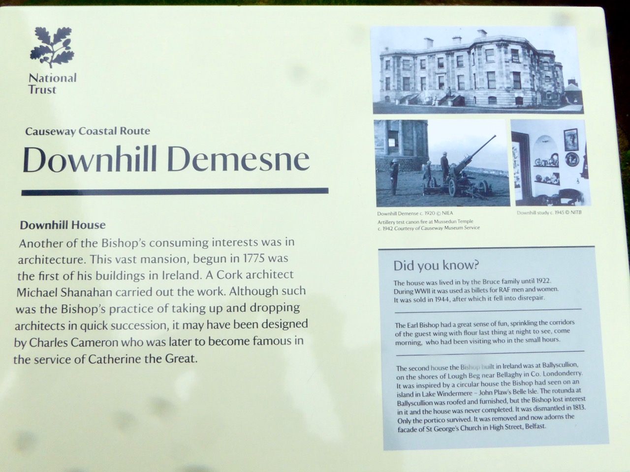
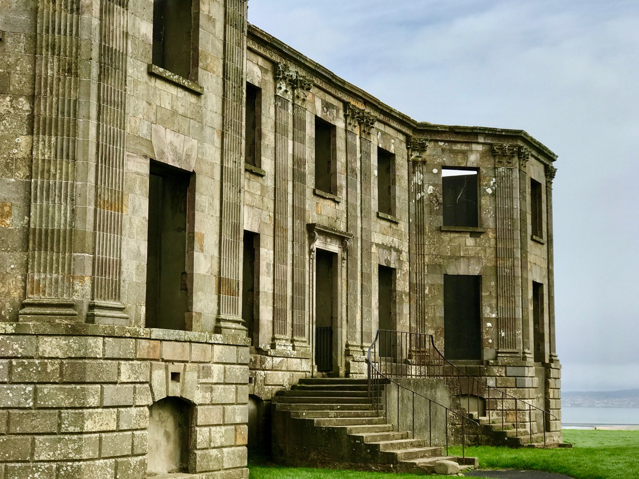
Everything about the Earl Bishop and Downhill Demense is ‘over the top’. Even though it is now a ruin, cared for by the National Trust, its former splendour is obvious. The residence was huge and grand, and Frederick went through a number of architects (beginning with Michael Shanahan of Cork) and including Placido Columbani from Milan, who was supervising plumbing and the installation of water closets – a considerable innovation at the time.

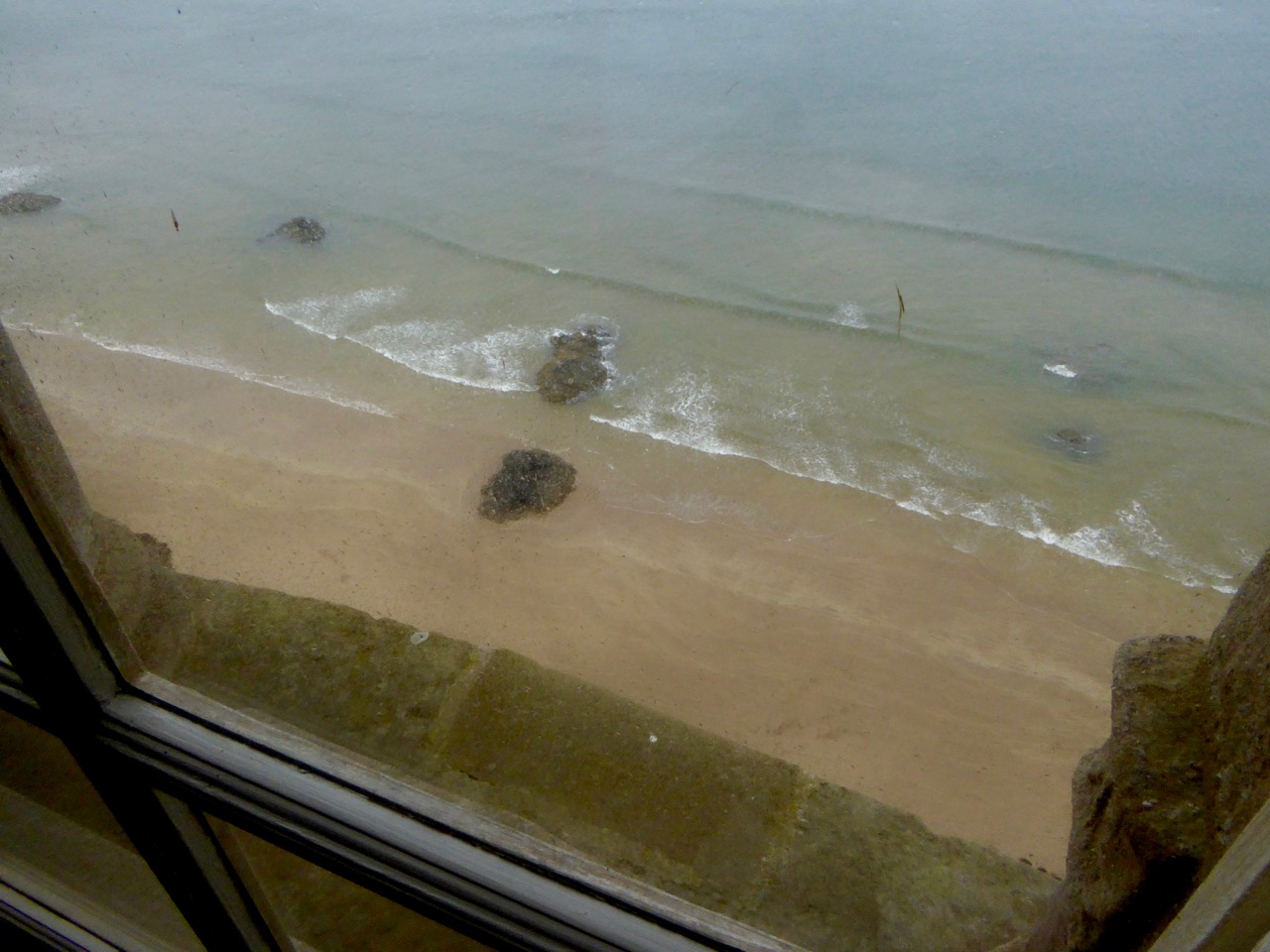
One of the most striking surviving buildings at Downhill is the Mussenden Temple, based on the Temple of Vesta at Tivoli, near Rome. It was built close to the cliff edge, but with enough land to enable a horse and carriage to be driven around it. When we looked out of the windows facing the sea we were shocked to see that the building is now teetering right on the cliff edge! Also, a railway line runs right underneath it near sea level, over 100 feet below – you can see the tunnel entrance in the header picture above.

The Temple was an ‘overflow library’ to the house, some distance away. It was constantly heated by a fire always burning in the basement room below, so the books didn’t get damp. The Earl Bishop was a great traveller and collector, and in its heyday the house was full of paintings, statuary and furniture. Students of the Northern Regional College together with the Arts Council of Northern Ireland, the University of the Third Age and the Earl Bishop Heritage Trail Group have put together a wealth of information and some reconstructions of the house, included here. Their website is a mine of good information.

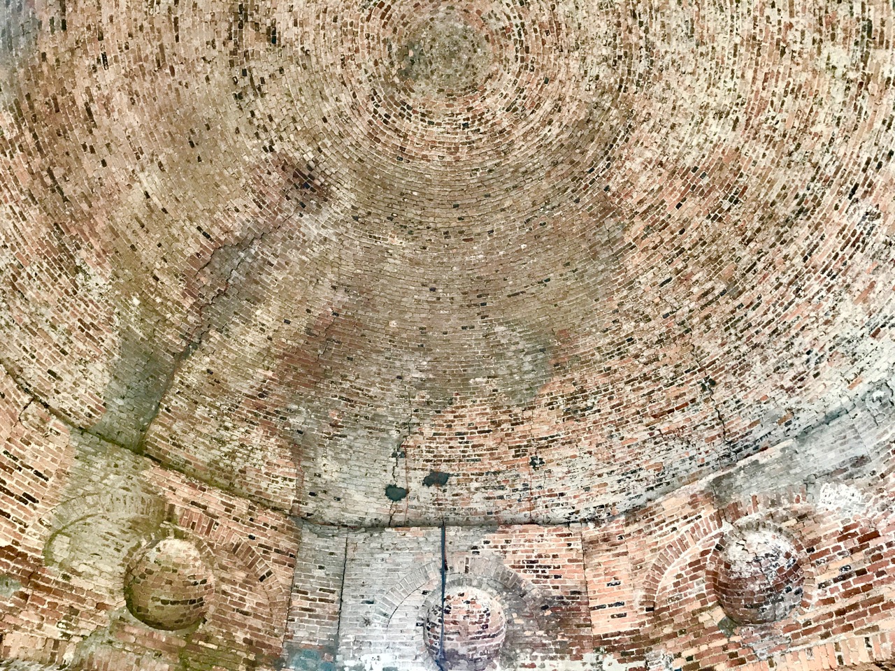
Reconstruction by the Earl Bishop Heritage Trail Group of the Temple dome (upper picture) and (lower) the ‘raw’ brick dome visible today

It’s sobering to stand in the driving rain – as we did today – on this deserted site and imagine the treasures that were once on display in this great edifice. On the Earl Bishop’s death the Demense passed to his cousin. It stayed in the family and survived a devastating fire in 1851, although restoration was not completed until 1876.

Upper picture – Earl Bishop Heritage Trail Group reconstruction of the main gallery in the house and (lower) poignant piles of rubble on the site today

The family left the house in the 1920s and in the 1930s the house was empty and had been stripped of furniture. During World War 2, Downhill was requisitioned and occupied by the Royal Air Force. In 1946 a request was made for permission to demolish the building, thus avoiding a large rates bill. Consent was refused because …the castle is of general local interest… A tenant was found – Mrs Belgrave – who was the last person to live in the house – but briefly; by October 1949 the entire property had been gutted and the windows and roof removed. The building was listed in 1977, and was acquired by the National Trust in 1980 which has been engaged in continual efforts to preserve the remaining fabric ever since.

Upper picture – Earl Bishop Heritage Trail Group reconstruction of the Temple interior and (lower) today the Temple is a significant landmark on Northern Ireland’s main tourist route

Wherever you are on the island of Ireland it’s just a hop and a step up to the North: the coastline is stunning, and a journey there will be punctuated, as always, with fascinating history. Well worth a visit!

An excellent detailed article by The Irish Aesthete on the Earl Bishop and his Downhill Demense can be found here

The Turning Year in Rossbrin

We are fortunate to live in a rural idyll: our immediate environment is immersed in the natural world. In fact, I suppose it is ‘Nature tamed’ – as we have pasture all around us as well as banks of gorse and rock: even a few trees which manage to cling on to the shallow soil all through the winter gales and (occasional) summer droughts. As the years go by we feel we become more closely entwined with the cycle of everything around us – we get to know personally the fox, pheasants and rabbits that pass by our window, and the myriad of birds that feed here, forage in the Cove or just show themselves to us on memorable occasions – Spioróg the Sparrowhawk is so handsome when she is resting on our terrace wall while on her deadly missions, and our choughs frequently perform wild dances in the air to entertain us. This year was special for me because, for the first time, I saw a hare amble around the house, alert with erect ears, before loping off into the next door field.

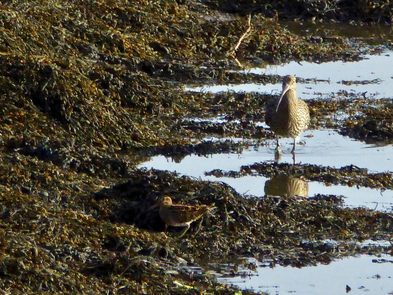
I have written about Rossbrin Cove many times before: look at A Moment in Time, Tide’s Out and Words on Roaring Water, for example. That sheltered natural harbour and the old mine road up on the hill above probably give us the most pleasure because we visibly see the year change and turn every time we walk there. Just now the days are rapidly shortening, and the autumnal influx of wading birds is returning. One we keep a particular eye out for is the curlew – a threatened breeding species here in Ireland. We see many on and close to the water, particularly at low tide, but these are probably migrants rather than resident breeders.

The year is turning – from late summer into early autumn, and the colours are changing from rich reds and purples – fuschia and heathers – to the more sombre yet equally attractive yellows and browns of furze and fern. Finola has closely followed the wildflowers right through from the spring – she is still finding and identifying every imaginable species – it’s a complete world of its own!

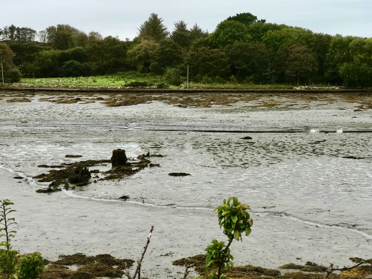
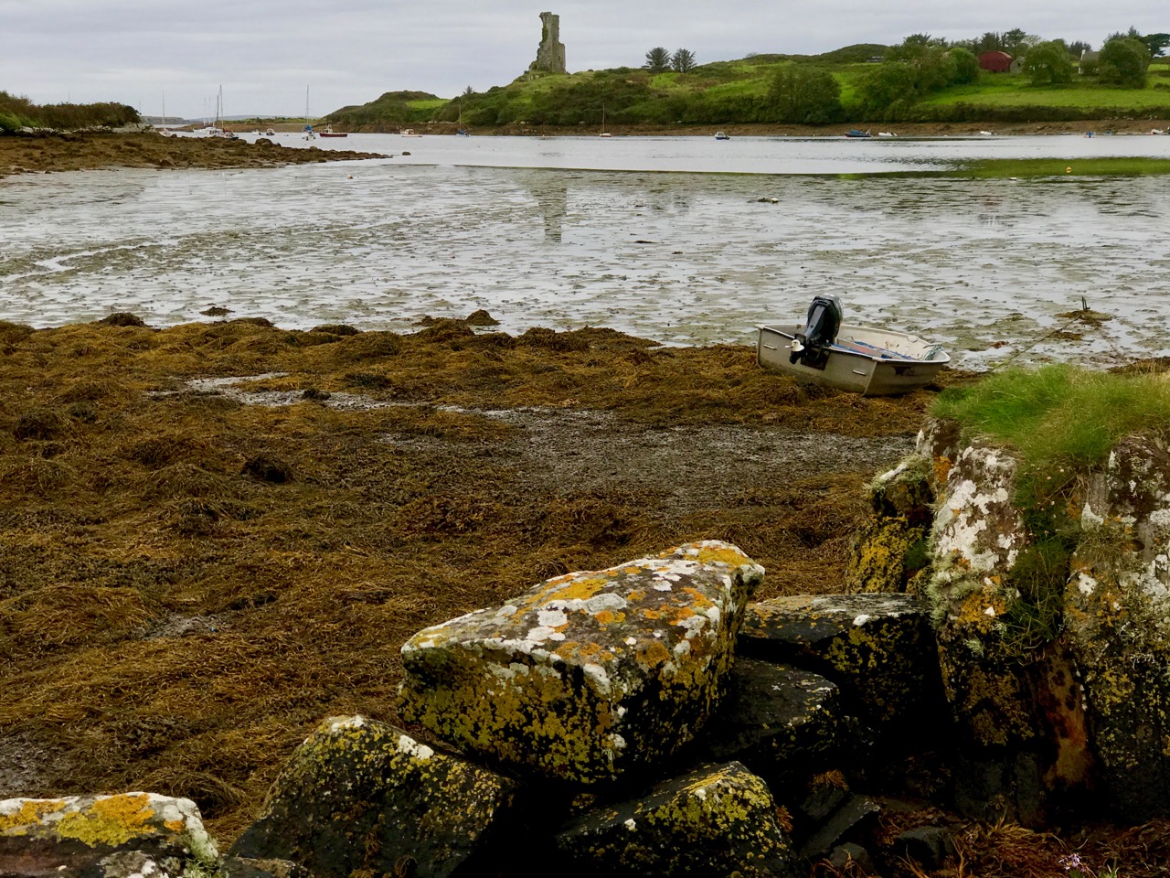
We have been seeing some exceptionally high and low tides here in Rossbrin. I’m always fascinated to see the mud-flats revealing bits of discarded history, while I am convinced that the huge remnants of dressed stonework on the north-east shore are the vestiges of once-busy quays, dating either from the medieval period, when Sir William Hull and the Great Earl of Cork owned the lands around here and set up thriving fish-processing ‘palaces’, or – at the latest – when the copper mines were active up on our hills and on Horse Island in the nineteenth century.

The real turning point comes at the end of October – Samhain – when the old calendar enters the ‘dark year’ (the ‘light year’ begins on May 1st –  Bealtaine). We know we have long, dark nights to come – time to huddle down by the stove – but there will be bright days as good as any in the year for walking, exploring and breathing in the Atlantic breezes. And the Rossbrin sunsets will be magnificent!

The Red Line – Bere Island

As part of the excellent Taste of West Cork food festival, we signed up for the Bere Island Cultural Taste Tour, and on a grey Saturday morning we drove off along the south side of the Beara Peninsula to Castletownbere. The Islands of West Cork are all fascinating to explore, in our experience, and each one is very different. This was my first visit to Bere Island, and I immediately want to go back there: this was, of necessity, a ‘whistlestop tour’, ably led by Ted O’Sullivan, probably a direct descendant of the famed O’Sullivan Bere (who deserves – and will get – a post of his own!) You may remember that the island – and the peninsula – has taken its name from the Spanish wife of Owen Mór, King of Ireland around 120AD.

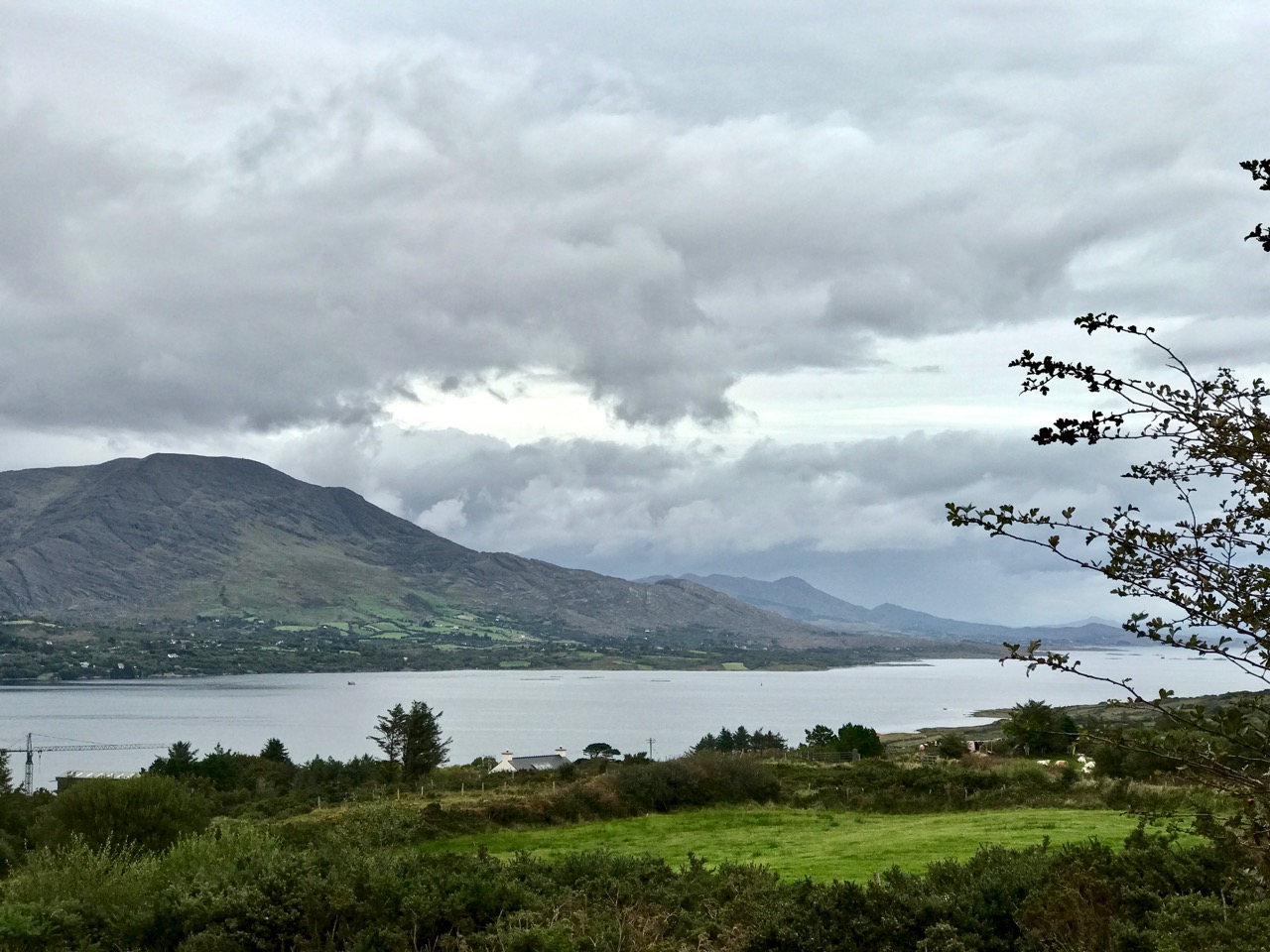
Bere Island lies off the coast of the Beara Peninsula, which was in constant view as our bus took us to the eastern end on the narrow island roads – towards the ‘Red Line’

While the history of the island takes us back to the Bronze Age and beyond, more recent events have been left behind on the landscape – and in the memories of the islanders.

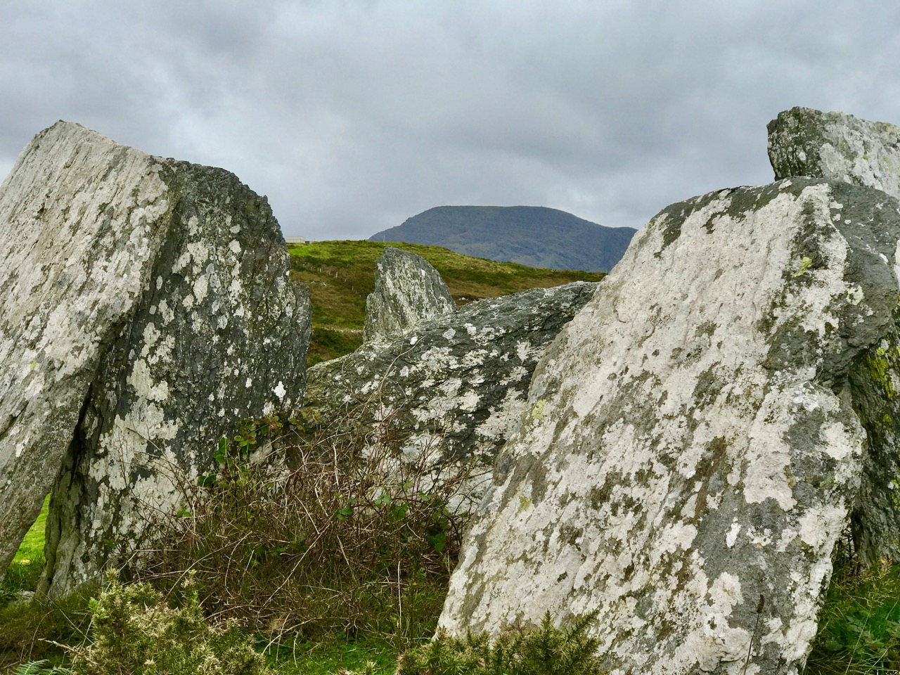
Upper – ancient history: Ardaragh Bronze Age wedge tomb beside the road to the east of the island with Hungry Hill beyond. In 1926 the tomb collapsed, and this was seen by some islanders as a ‘sign’ that the British might leave the occupied part of the island. Lower – modern history: looking from the island towards the Beara – British warships stationed in the bay circa 1914

Did you know that part of Bere Island remained in British hands well beyond the establishment of the Irish Free State in 1921? This was one of the three Treaty Ports that were retained by the United Kingdom following the First World War, when there were fears that there might be a recurring naval threat to the islands of Britain and Ireland. The other two ports were Spike Island, in Cork Harbour, and Lough Swilly in the far north of the Irish state. Relationships between Ireland and Britain remained uneasy for many years but finally, in 1938, it was agreed that these deepwater ports should be handed over to the Irish Republic. Winston Churchill was appalled by the decision, and in an address to Parliament in that year he called it a ‘folly’:

…When the Irish Treaty was being shaped in 1922 I was instructed by the Cabinet to prepare that part of the Agreement which dealt with strategic reservations. I negotiated with Mr Michael Collins, and I was advised by Admiral Beatty who assured me that without the use of these ports it would be very difficult, perhaps almost impossible, to feed this Island in time of war. Queenstown and Berehaven shelter the flotillas which keep clear the approaches to the Bristol and English Channels, and Lough Swilly is the base from which the access to the Mersey and the Clyde is covered… These ports are, in fact, the sentinel towers of the western approaches, by which the 45,000,000 people in this Island so enormously depend on foreign food for their daily bread, and by which they can carry on their trade, which is equally important to their existence…

Until the handover in 1938 the eastern end of the island lay beyond ‘The Red Line’. The position of this line was pointed out to us on the tour, although we couldn’t see a ‘line’. In fact, no physical line did ever exist but there was a point beyond which Irish people could not proceed, and British forces stationed over the ‘line’ could not cross. Ted, our tour guide, recounted some amusing stories of those strange times. With typical Irish inventiveness, there were many instances of how the difficulties created by the ‘line’ were overcome. For a short while there was a prison on the British sector, right beside the ‘line’. It was used to incarcerate mainly political prisoners. Every weekend there would be a party held on the Irish side of the line which always included singing, dancing and drinking, and the prisoners joined in! Many politically important prisoners managed to escape, and the prison was known as a ‘leaky bucket’ because of this. A number of the British governors of the prison were removed during its short life because of their inability to contain their charges.

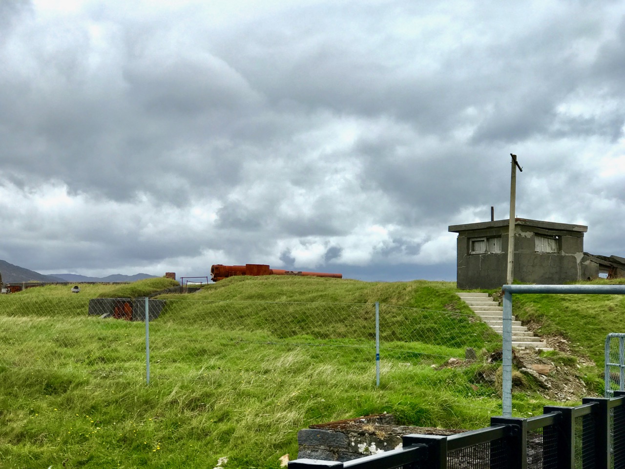
Lonehort Battery – built in 1899 by the Royal Engineers of the English army – housed two enormous 6-inch guns (still in place but very rusty) and is surrounded by a deep moat. There are plans to re-open the site as a historic monument

Lonehort is a natural harbour, believed to have been used by the Vikings. Archaeological excavations were carried out there in 1995 and confirmed the artificial breakwater as being Norse: there were also signs of a Viking shipyard here.

Lonehort – a Viking harbour and shipyard. The word means ‘Long Phort’, and is used to indicate Norse associations

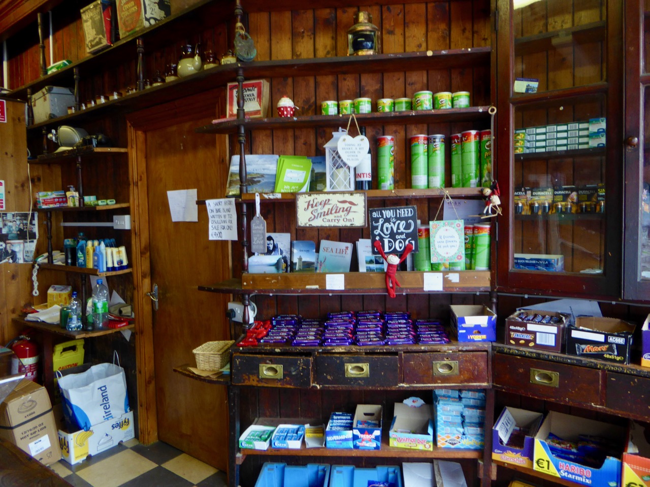
One of the purposes of our tour was to introduce us to food produced on the island, and we ate in three establishments: The Shop and Cafe in Rerrin for soup, The Hotel for a fishcake lunch, and the Heritage Centre for a dessert and coffee. All provided good, delicious fare.

Our three food destinations. Top – the wonderful Shop at Rerrin; centre – The Hotel, open all year round (it looks as though it has interesting fare!) and lower – the modern Heritage Centre which has a gallery displaying the island’s history and culture as well as a good eatery

All too soon our short tour came to an end: we had to get back to catch the ferry. We missed several things: St Michael’s Holy Well and Church; views from Knockanallig (the highest point) and several standing stones including Gallán, which is exactly in the centre of the island. And it’s a great place for walking! We will return, perhaps for a few days in the winter, and complete our explorations. But many thanks to Ted and the Bere Island Projects Group for giving us such a comprehensive introduction to an intriguing community and its history.

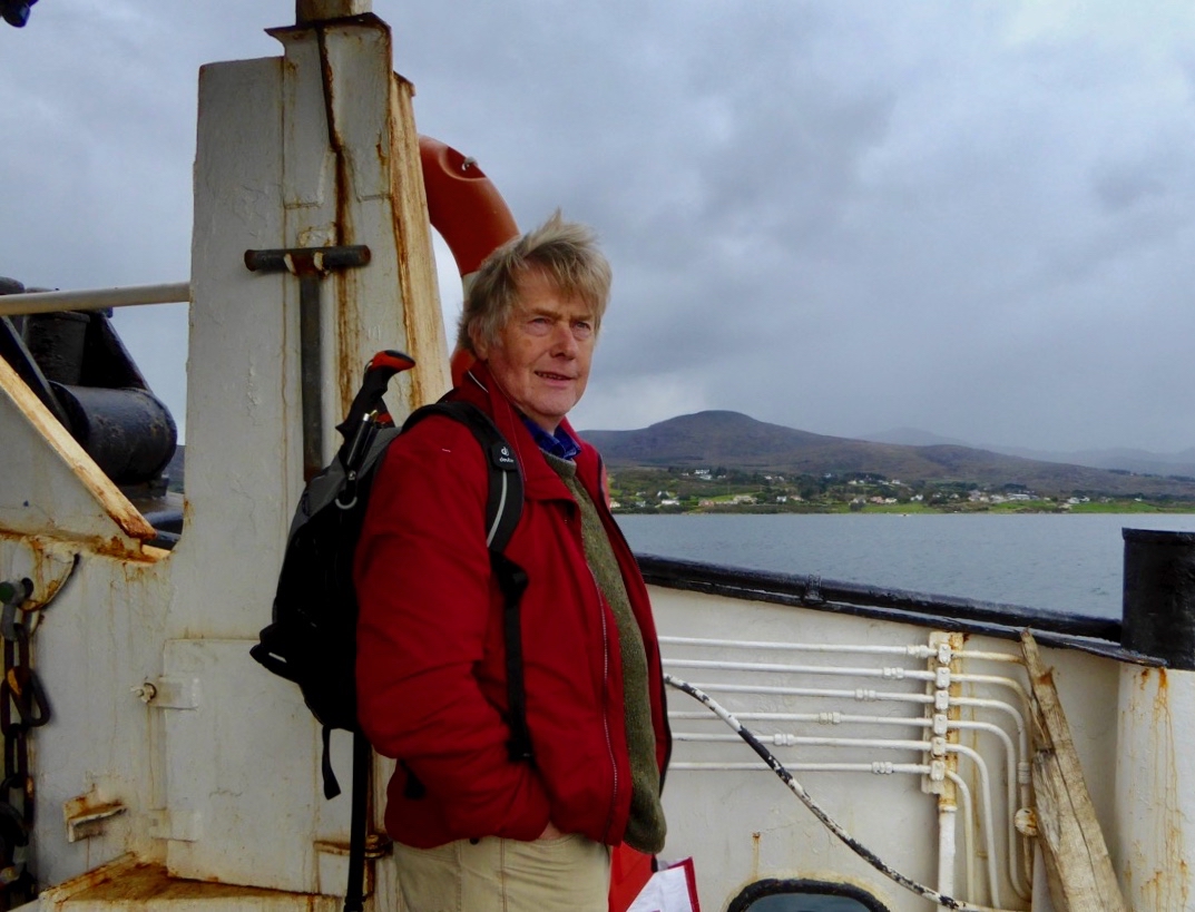
Robert heading home after a grand day out!