Fastnet Trails: Rossbrin Loop, Part 1

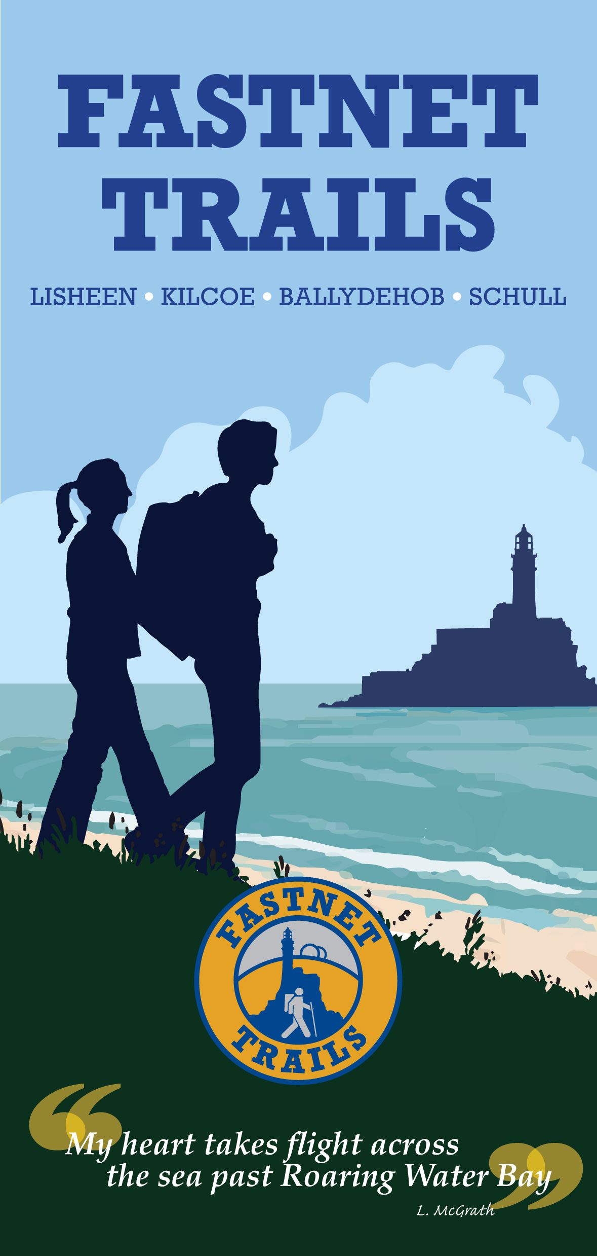
A joint post by Robert and Finola

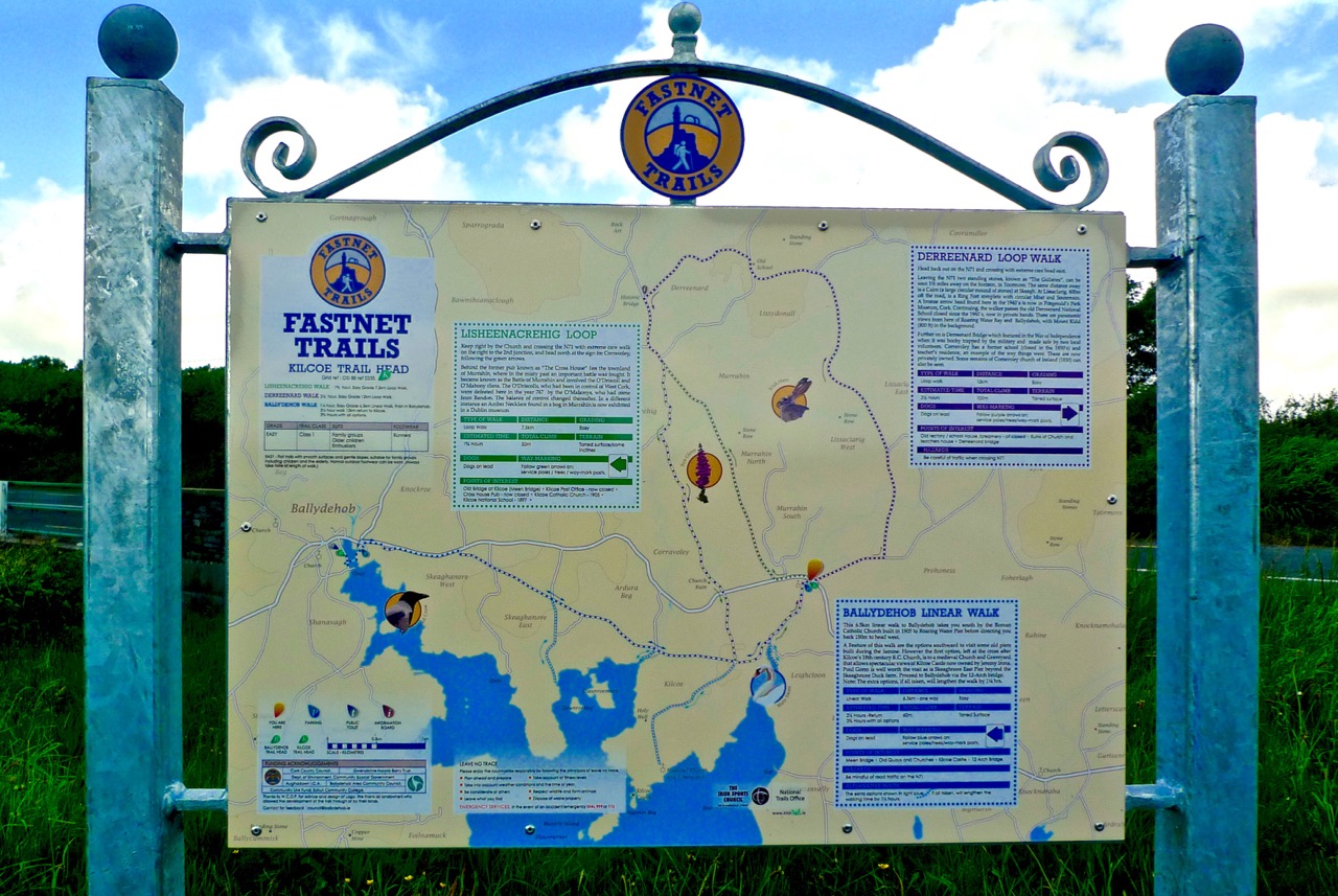
In Robert’s post about the Fastnet Trails, we introduced you to this new trail system, and in particular to one of the delightful walks – the Lisheenacrehig Loop. Today’s post is about another of the walks – the Rossbrin Loop. This walk is all on country boreens, so you can wear your ordinary walking shoes and take the dog if you like but keep him on a leash and stick to the road. You will pass other dogs on the way, as well as fields of livestock.

The high road

You can do this whole walk as laid out in the brochure. It’s just under 12km and will take you at least three hours, but probably more if you like to stop to explore, take pictures, have a chat along the way. Oh, and see where it says ‘easy grade’? Take that with a pinch of salt – this walk will give you a good work out as it takes you from sea level to 70m (230ft) and back again.

Rossbrin Trail 1

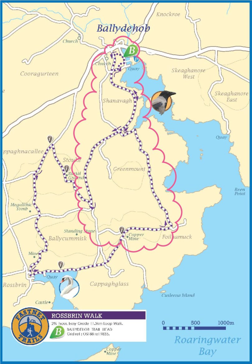
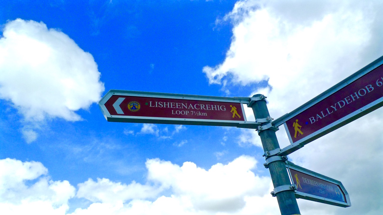
But we know that many of you like to take an easier pace and, like us, might find a 12km loop a bit intimidating, so we’ve decided to give you another option. We will lay out a 2-walk option for you, beginning with Walk 1 now, and we will do Walk 2 in a future post. We provide our time estimate for a meander rather than a march. And – a disclaimer: our suggestions depart slightly from the official Fastnet Trail and have not been sanctioned by that group. Where you depart from the marked trail, you walk at your own risk.

Walk 1: Ballydehob, Greenmount, Foilnamuck, Cappaghglass, Ballydehob

Time: 2 to 2.5 hours (with diversion)

Level: Easy but some steep stretches

Take: Binoculars and camera

Twelve Arch Bridge

Park in the Ballydehob car park just east of the river estuary and start by taking the lovely nature walk that takes you over the 12 Arch Bridge. This beautiful structure was once part of the West Carbery Tramway and Light Railway. A train ran across this bridge from 1886 to 1947 – Robert has written about The Flying Snail that traversed West Cork, but for a real flavour of what it was like read Poisson d’Avril in Somerville and Ross’s The Irish R.M. Here’s the first paragraph:

The Irish R.M.The atmosphere of the waiting-room set at naught at a single glance the theory that there can be no smoke without fire. The stationmaster, when remonstrated with, stated, as an incontrovertible fact, that any chimney in the world would smoke in a south-easterly wind, and further, said there wasn’t a poker, and that if you poked the fire the grate would fall out. He was, however, sympathetic, and went on his knees before the smouldering mound of slack, endeavouring to charm it to a smile by subtle prodding with the handle of the ticket-punch. Finally, he took me to his own kitchen fire and talked politics and salmon-fishing, the former with judicial attention to my presumed point of view, and careful suppression of his own, the latter with no less tactful regard for my admission that for three days I had not caught a fish, while the steam rose from my wet boots, in witness of the ten miles of rain through which an outside car had carried me.

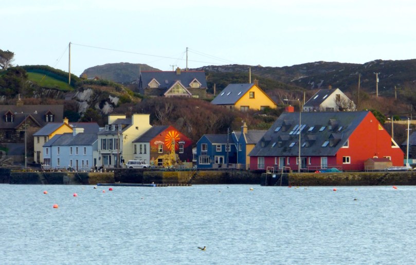
Ballydehob Quay saw brisk trade in the days before the Bay silted up. The lovely old Pier House once functioned as a coal warehouse. 

Greenmount Stream

Following the walkway, you emerge by the school and turn left on to the Greenmount Road. This can be a busy stretch, so be careful along here. Once you get to the turquoise shed, turn left. Here you find yourself beside a burbling stream that empties into Ballydehob Bay at a small and picturesque pier. This and others like it were busy piers in the old days, serving the fishing boats as well as the sand boats that worked these waters, dredging sand to be used as fertiliser and building material. Nowadays this little inlet seems hardly navigable and the same blue and white boat has been moored here for a long time.

Greenmount Quay

The road climbs steadily up now past working farms. Looking back towards Ballydehob you can see the Bay and even the 12 Arch Bridge in the distance.

Pastoral

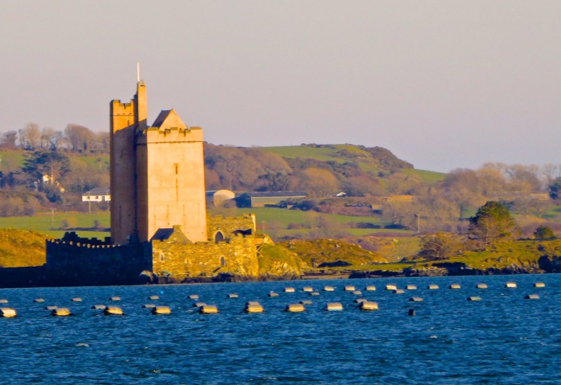
As you round a corner your view changes  and Kilcoe Castle comes into view. Now home to Jeremy Irons, who has restored it beautifully from a complete ruin, it was a classic 15th century tower house owned by the McCarthy Clan. So well was it situated and defended that the inhabitants were able to hold out for two years in the aftermath of the Battle of Kinsale (1601). Situated on a tiny island and glowing a soft amber colour, it is a beloved landmark in these parts.

Kilcoe Castle from Greenmount

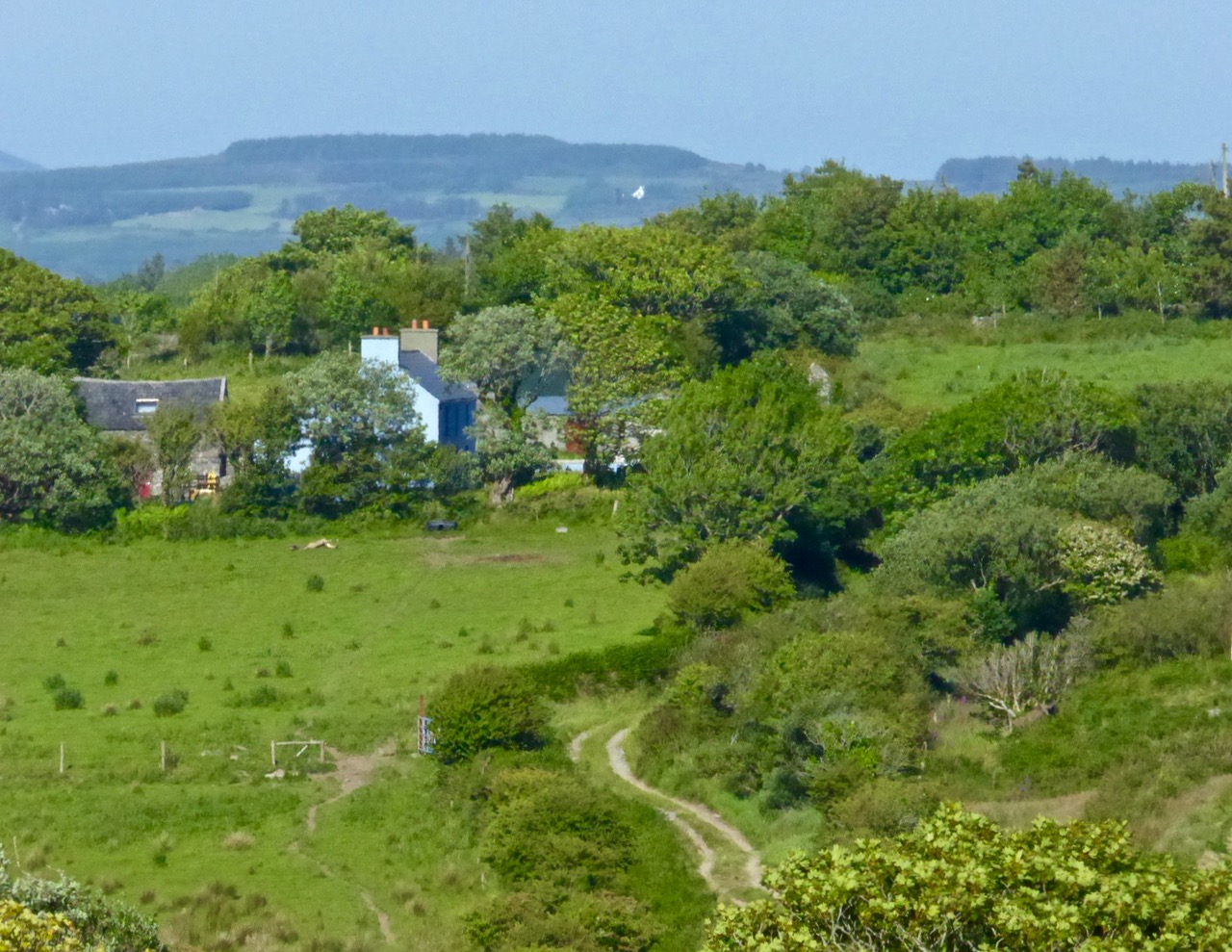
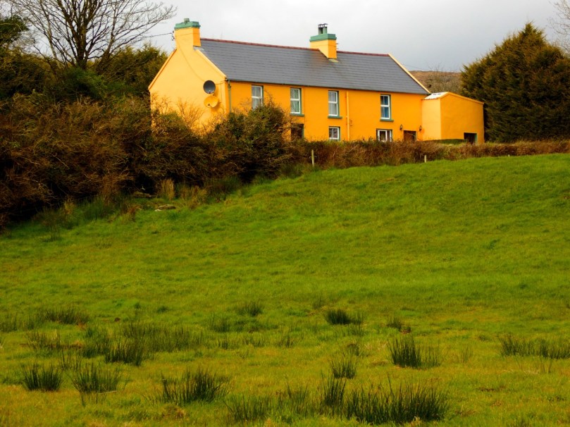
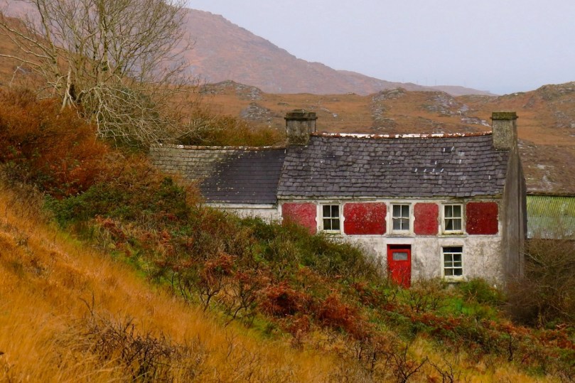
Below you is a shallow bay that is a haven for shorebirds and seals. If the tide is out linger a while and use your binoculars to see what you can pick out along the tidal flats below you. If you’re lucky the seals might be out along the rocks, sunning themselves. Once underway again, you’ll pass an old cottage on the left. A recently-dug pond in its garden is already full of water lillies.

Water lillies

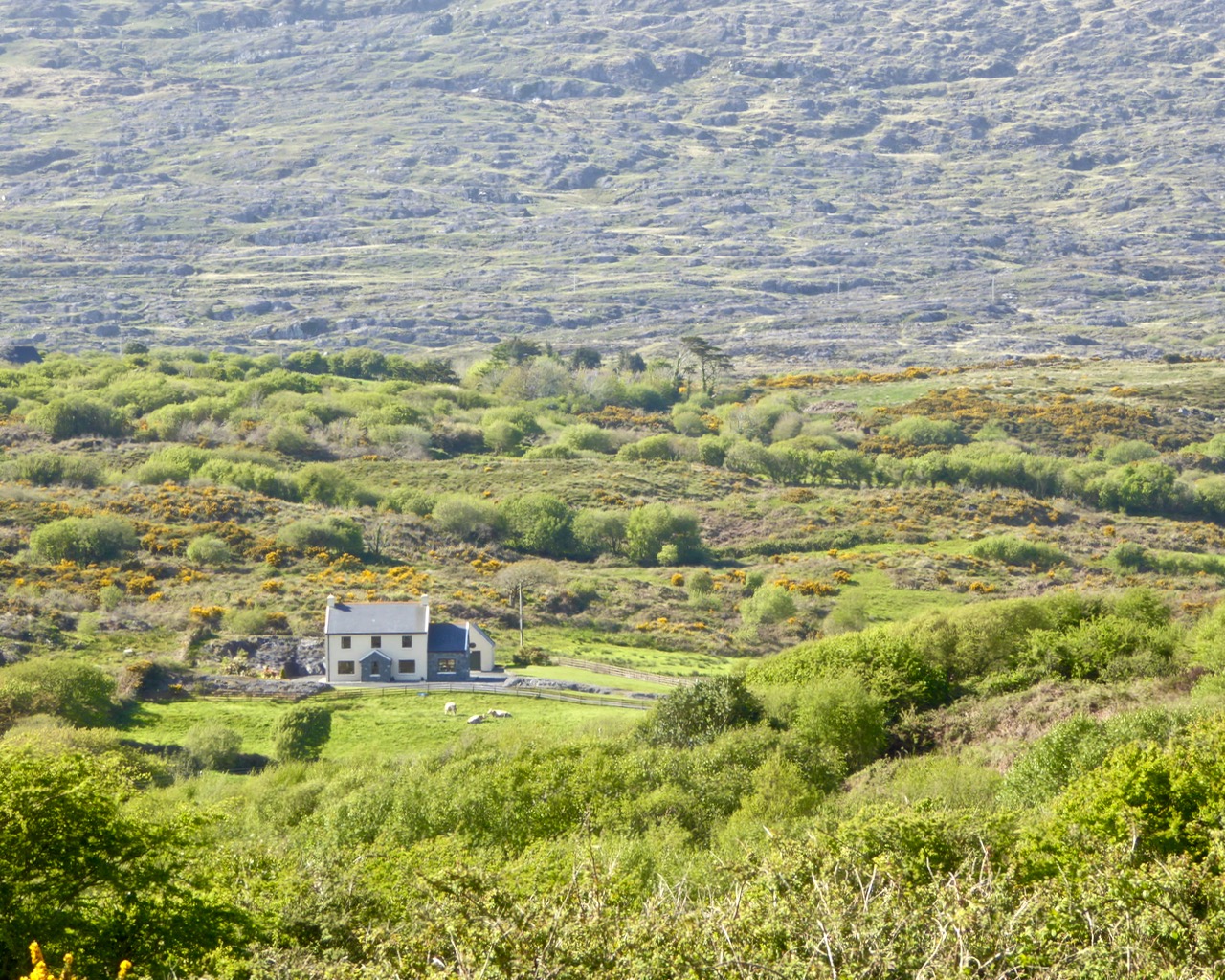
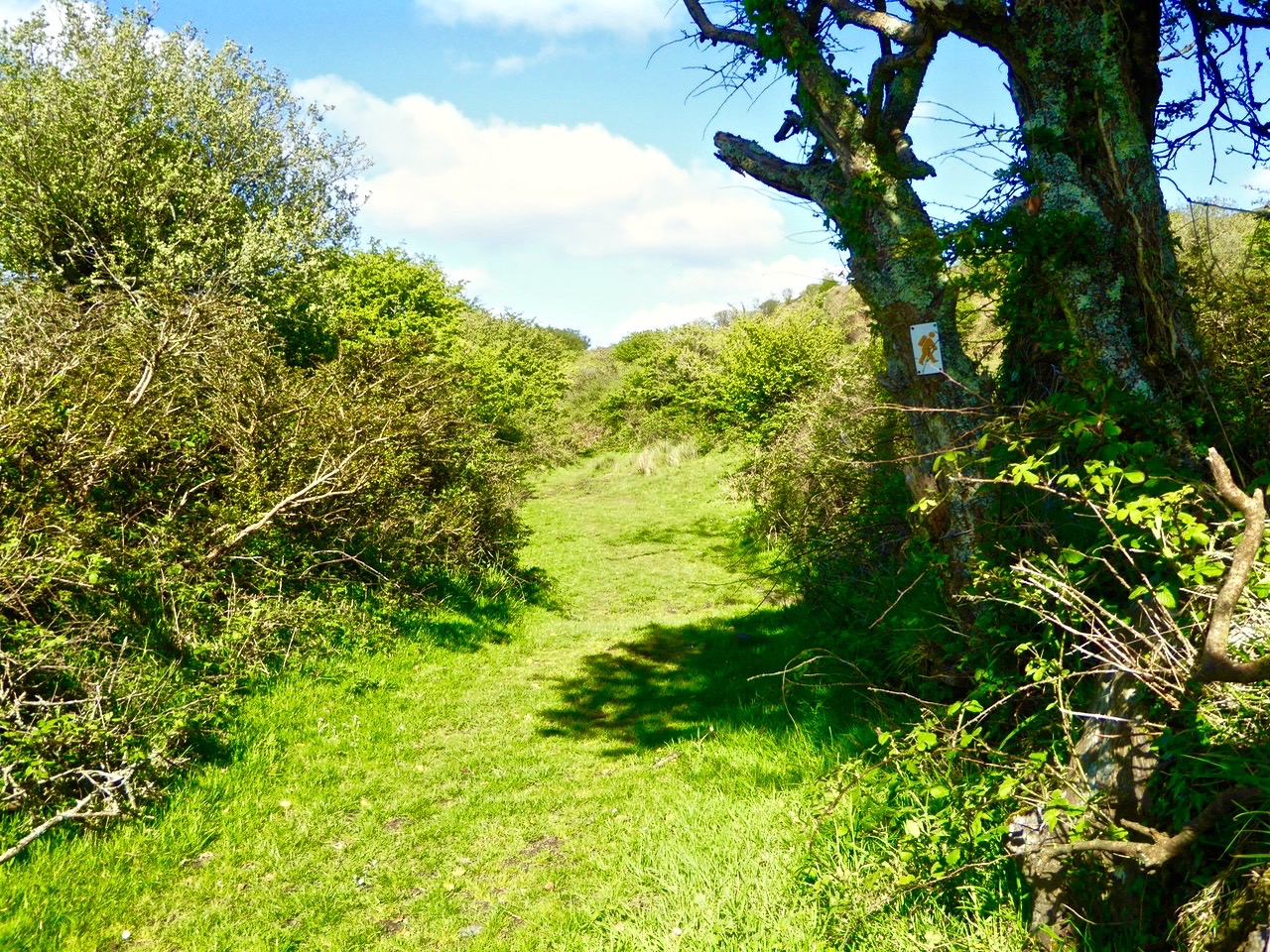
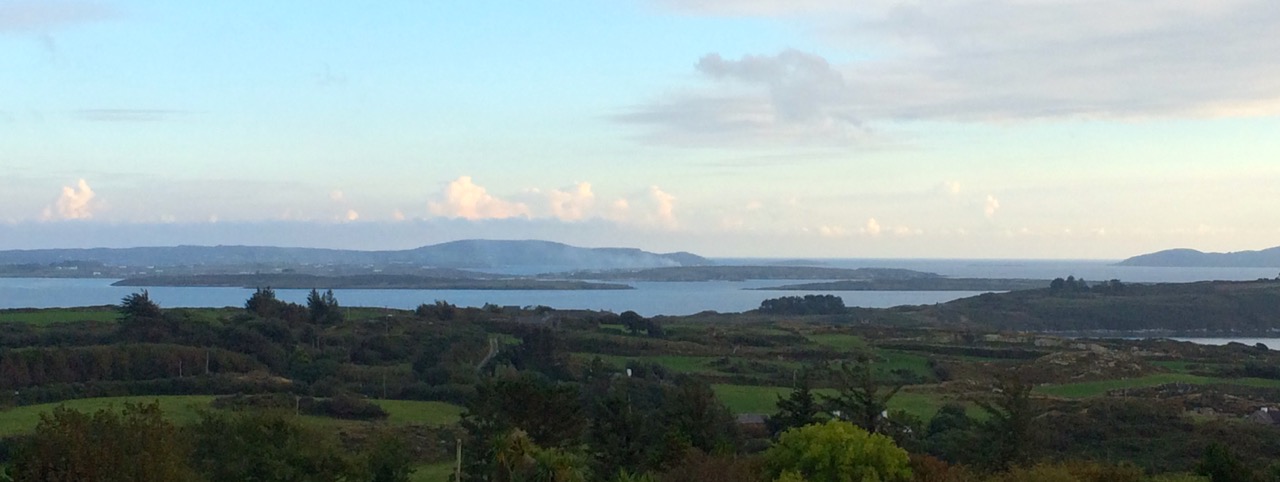
Continue now along the narrow boreen and brace yourself for the climb to the highest point  of the walk. No longer on leafy lanes, you are now walking on a bare plateau with panoramic views in all directions. The whole of Roaringwater Bay gleams before you. To the east, towards Kilcoe, lie the mussel beds that now dot this part of the Bay. Sherkin Island and Cape Clear are on the horizon, as is the Fastnet Rock. Ahead of you is the looming shape of Mount Gabriel, dominating the skyline as it does in so many parts of West Cork.

Fields of Cappaghglass

If you look carefully here you will see that the gorse and bracken barely conceals the outline of tiny field walls. There was a large population around here once and a thriving industry. Read Robert’s piece, Copper Country, for more about the mining activities of Cappaghglass. There are a few clues left – the stump of a large chimney that once provided a prominent landmark but that was felled by lightning can still be seen.

Rust and heather

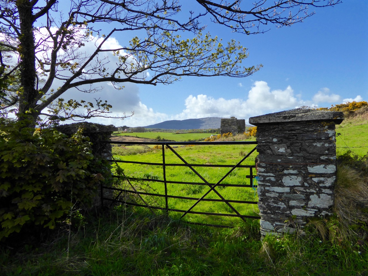
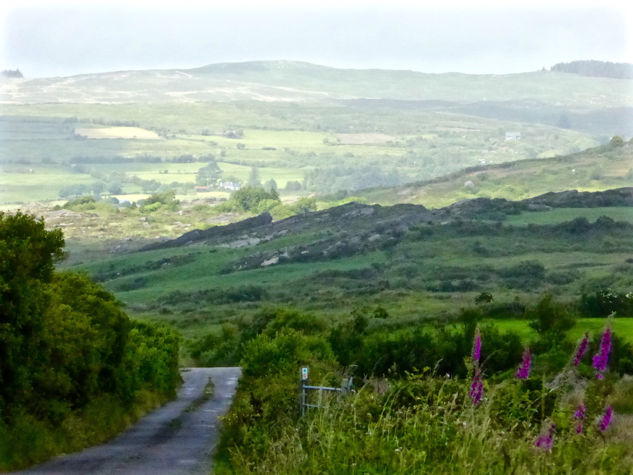
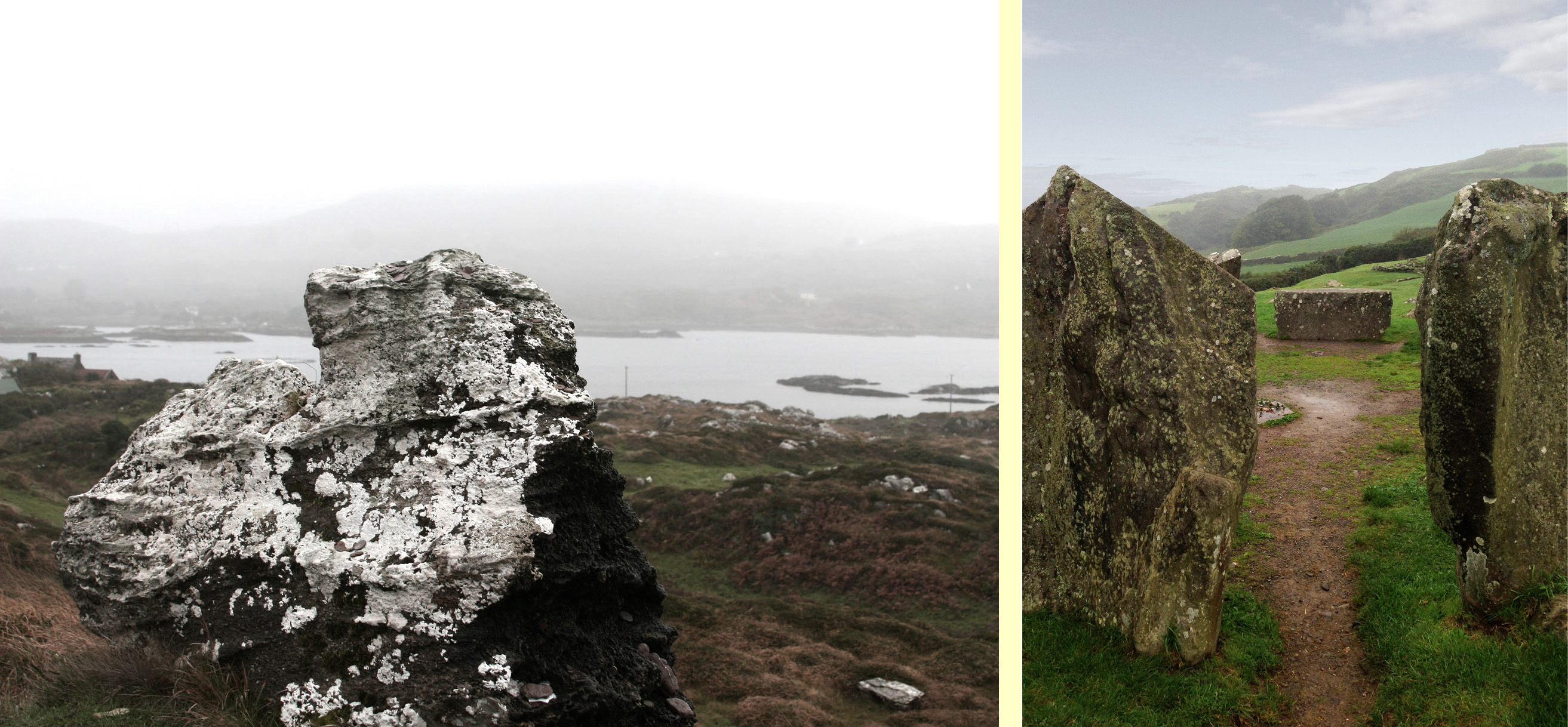
Don’t turn left here (as the trail map wants you to) but instead continue straight on and turn right at the T junction and descend to the crossroads. From the crossroads you can go right and follow the road back to Ballydehob. But if you still have the energy and want to prolong the walk a little, there a diversion here that is worth considering. Turn left and climb the hill until the road flattens out. About 500m from the crossroads look up and to your left and you will see the silhouette of a large ring fort. A tiny green lane leads up to it between some houses but it is on private land.  

Ballycummisk Ring Fort

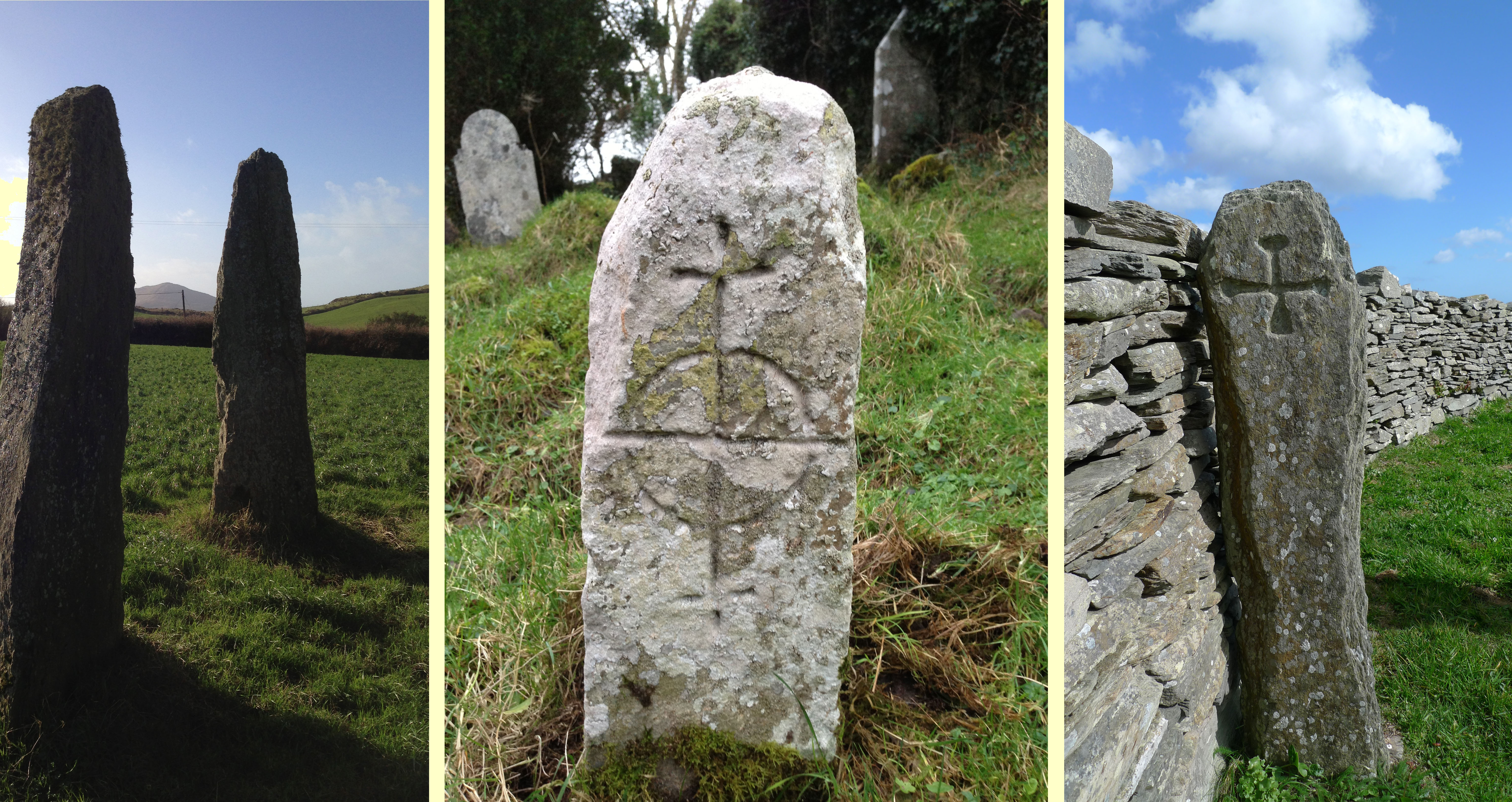
Irish ring forts generally date to the Early Medieval period – this one may be between 1500 and 1000 years old and would have been the enclosure of a farm house. A wooden fence on top of the earthworks would have kept wolves out and animals in. But the prominent position of this one also meant that it would have been a high-status dwelling. There are hints of a fosse (an outer ditch), which was a defensive feature, and reports of a souterrain, or underground passage, situated in the middle. The ridges of lazy beds – the traditional potato-growing grooves – cross the interior of the fort, indicating that this ground was used to feed a family until the area was de-populated in the aftermath of the famine. There is a large standing stone, known locally as Bishop’s Luck, above the ring fort. This could be Bronze Age or even older.

Textures

It’s an easy walk, downhill all the way, back to Ballydehob. You’ll be more than ready for a coffee and cake in Budds or a lovely bowl of soup in the Porcelain Room by the time you get there. Tell them the Roaringwater Journal sent you.

Wall E lurking

See you next time for Walk 2.

Closer Encounters – Fastnet Trails

The view from Cappaghglass, on the Rossbrin Walk

The view from Ballycummisk, on the Rossbrin Walk

Today (Sunday 28 June) a newly established system of walking trails was formally launched – by longstanding local TD (now retired) Jim O’Keefe – at Aughadown: we were part of the crowd

The Unveiling – from top left: mover and shaker Eugene McSweeney with Jim O’Keefe; Jim and the Fastnet Walk Trails Group Committee cutting the ribbon; on the inaugural walk – Fr Patrick Hickey giving us the low-down on smuggling at Roaringwater Pier; the wonderful Kilcoe National School Band
At Kilcoe Trailhead - the walks unveiled!

At Kilcoe Trailhead – the walks unveiled!

Rediscovering what we’ve only recently discovered… is that the best way of describing our experiences exploring the just launched Fastnet Trails? We have been traversing and driving around the boreens – local lanes and byways – that permeate this beautiful stretch of coastline and country on our own peninsula (Ballydehob is colloquially termed ‘the Gateway to the Mizen’) for the full two years that we have lived permanently here at Nead an Iolair. We have taken in the vistas – from the windows of our car – and appreciated the profuse combinations of sky, sea and mountain as we passed on our way; now, we are seeing everything anew, and in closer focus, because we have started to walk the trails.

Cornflowers

Old Copper Mine at Ballycummisk (Rossbrin Walk)

Old Copper Mine at Ballycummisk (Rossbrin Walk)

Towards Mount Gabriel - Butter Road Walk

Towards Mount Gabriel – Butter Road Walk

It may seem strange that many of these walks are along roads but don’t let that put you off! Remember that here in rural Ireland the old lanes were made to serve farmsteads and are little used today by anything more than very local traffic. I did the hike home from Ballydehob this morning (after my usual excellent coffee break in Budds) on the long route, passing by Ard Glas (Ballydehob Rossbrin Walk): I pootled along for well over an hour and didn’t see a single vehicle in the whole of that time! In fact, a passing car (or bicycle or tractor) is an event: invariably it involves a pause in walking while the time of day is passed in leisurely conversation during which acquaintances are made and news is passed on…

Have you time for a chat?

Have you time for a chat?

P1050062

lisheenacrehig map

Before the official opening Finola and I undertook one of the walks (Lissheenacrehig Walk, starting at Kilcoe Trail Head): we deliberately chose the one that seemed perhaps the least interesting as it heads north inland and doesn’t pass directly by Roaringwater Bay. I’m not sure what we expected – after all, we had travelled all the little roads on this route by car previously – we are great explorers! In fact, our eyes were opened and we were surprised to be presented with wide views focussing on Mounts Gabriel, Kidd, Corrin and all the rugged uplands in between, and to be given the huge bonus of time to stop and scour inviting rock surfaces for new examples of Rock Art (we didn’t find any). But also it was the closer encounters which we really valued: a wealth (if that really is the right word?) of ruined sheds and cottages; wells, walls and wild flowers; an old burial ground with its memories of lives lived; the tumbling waters and green rocks of the Roaringwater River just before it empties itself into the Bay; archaeology (viewed from a distance on this occasion – the standing stones and ring forts are on private land and – as always – permission should be sought from the owners prior to visiting: that, of course, creating further opportunities for chat and dawdling).

View to Mount Kidd, Rossbrin Walk

View to Mount Kidd, Rossbrin Walk

Butter Road Walk

Butter Road Walk

The signage on these walks is clear but discrete – you’d have to try very hard to lose your way. Very occasionally there are information boards: these have been well thought out and attractively drafted. At the end of our sample walk we realised we had taken three hours to do the 7.5 kilometres: the well produced trail information recommends allowing an hour and three quarters! I think that emphasises our predisposition to get diverted in every possible way…

pathsign

Discrete signage on the Butter Road

Signage on the Butter Road

Bucolic

Useful signs along the way…

In all there are 80km of walks set out, from Schull in the west to Lisheen in the east. They are easily accessible, and there is ample parking at all the Trailheads.

gatepost

The one trail which is largely away from surfaced roads is the Butter Walk, running between Ballydehob and Schull. This an ancient way – Finola has written about it and its fascinating history previously. It’s magical to get into the heart of rural Ireland and to immerse yourself in nature and a past writ so clearly on the landscape.

Along the Butter Road

Along the Butter Road

We really believe that West Cork is pulsating with an underlying energy! So much has happened (and is happening) during our time here. Much of it is, of course, down to people who have been working away for years – often behind the scenes and, therefore, unappreciated – but future generations will realise what a debt is owed to these innovators: West Cork has been steadily and deservedly building its reputation as good food capital of Ireland, for example – and the opening of Uillinn in Skibbereen will emphasise the equal importance and historical context of the arts in these remoter landscapes. For music, drama and literature, also, we are always spoilt for choice: the furthest we have to travel is half an hour to see and hear world class performers in all these genres.

Roaringwater River, Lisheenacrahig Walk

Roaringwater River, Lisheenacrehig Walk

Roaringwater Bay Panorama

The latest asset to bring West Cork to the fore is this – literally – trailblazing one: the establishment of a network of walking routes along the coast, through the countryside and into the wild places. Fastnet Trails has been quietly gestating now for some time: the launch today shows how much work has been undertaken already – and what fruition has been attained. On behalf of everyone locally we thank the organisers for achieving the realisation of their dreams which benefit all of us and the generations to come. A grand start has been made: undoubtedly, more good works will follow.

Light and shade: Lisheenacrahig Walk

Light and shade: Lisheenacrehig Walk

Lisheenacrehig Loop

Fastnet Trails are recognised by the National Trails Office and the Wild Atlantic Way: the venture has been organised by The Fastnet Walks Trails Group with the help of the Community Councils of Aughadown, Ballydehob and Schull

fastnet_trails_a3.indd

Close Reading

P1080162

It’s mid June. The gorse and the whitethorn, once the dominant colours in our spring landscape, have come and gone. The last of the bluebells, primroses and the wild garlic are fading fast. By the end of the month, the boreens will be heady with fuchsia and bramble flowers, and soon after that they will be lined with ubiquitous montbretia.

So this is the early summer interregnum – we think of it as the time of the hedgerow flowers. Every day we discover new delights peeping out at us from among the ferns in the ditches and from the ivy-covered stone walls. Not all are wild, or native – it can be hard to distinguish when a planted hedge has gone wild, or a wild plant has turned into a hedge. Some of the flowers overwhelm – as with rapeseed that has colonised a lane or ox-eye daisies massed along a footpath.

But most hedgerows, like a good novel, call for close reading. It’s easy to be aware that they are alive with colours and shapes, but stopping to really look carries the most reward, even as it slows down the pace of our regular walk.

At first glance...

At first glance…

The photographs in this collection were all taken this week. I can’t name them all but I know they include herb robert, campion, foxglove, speedwell, honeysuckle, clover, thistle, marsh orchid, field roses, buttercup, ragwort, navelwort (penny pies). If you can identify others, dear reader, please do!

We weren’t the only ones interested in this bounty.

I kept the sweetest discovery until last. in this age of bred-to-last-and-look-right strawberries, what a thrill to come across a few precious wild ones and wander home with that real, glorious sweetness in my mouth.

A Lick of Paint

blue long distance

What does it mean to say that a house is “set well into the landcape?” On the West Coast of Canada, where I used to live, it usually meant that a house was invisible, often made of wood and blending into the trees. But here in rural West Cork, buildings are more assertive – we ARE the landscape, they seem to say, or at least an important part of it. Therefore we should stand out and be seen. Part of being seen, for many houses in the countryside, is choosing a bright colour. Ah sure, they say, all it needs is a lick of paint.

Crookhaven

Crookhaven


I’ve written before about the colourful towns and villages dotted all over Ireland. Coming around a bend in the road and catching sight of a village is a cheering experience: flashes of colour spread in a line across a backdrop of green fields or rugged mountains. But colour isn’t confined to towns – farmhouses in the deep countryside can suddenly demand attention – pops of colour in a predominantly green terrain. 

Blue seems to be a favourite – and we are not talking here about a pale blue or grey blue. No – duck egg or cobalt blues predominate. The blue is weathering and fading a bit in the house below but it still packs a punch in its isolated setting.

Sometimes blue is used on one side of the house only, or on selective aspects – a gate post or a shutter.

One of my favourites is this house, the colour of a ripe apricot. It is visible from a long way off and always seems to be incandescent on its hillside, as if permanently lit by a setting sun. Close up, I found it has jade green trim, making it even more handsome than it appears from a distance.

apricot distant

That colour is also one of the most recognisable in West Cork because it’s the colour of Jeremy Irons’ Kilcoe Castle. When the castle was being rendered, Irons used a lime mortar in order to waterproof the masonry: the mortar has a distinctive peach tone. Although controversial at the time, it is fair to say that West Cork folk have come to enjoy the sight of this wonderful restored 13th Century castle permanently glowing on its tiny island.

Kilcoe Castle

Kilcoe Castle

Pinks range from soft and pastel to the colour of fuchsia.

I particularly like the pink-on-pink trim of the farmhouse below left, and the candy-coloured house with its blue trim.

Yellow shows up well against a green hill. The first house below belongs to our friends the Camiers, who run the marvellous Gortnagrough Folk Museum. The second one is on the Sheep’s Head (photo by Amanda Clarke).

There are shades of salmon and coral that seem to suit old houses very well. Left, below, is the old school house in Rossbrin, now a private residence, and right is the Ballydehob Rectory, particularly attractive with its green trim.

I’ve found red to be reserved mostly for doors, trim and spot colour, but my friend Amanda Clarke found this old farmhouse on the Sheep’s Head. Take a look at her site, Sheep’s Head Places for examples of vernacular farm buildings. 

Old farmhouse, Sheep's Head

Old farmhouse, Sheep’s Head*

Renovations never stop – I did wonder what colour this one would end up. Now I know!

Going through the spectrum

Going through the spectrum

But this one, unless miracles happen, will see no more paint. Then again, it’s right beside a holy well, so maybe…

Generations of colour

Generations of colour

 *Many thanks to Amanda Clarke for the use of the asterisked photographs

Good Friday – Foraging and Feasting

Fresh from the Shore!

Fresh from the Shore!

This post dates from 2014. Since we first published it, Tommy Camier is no longer with us and sadly the Gortnagrough Museum has had to close.

One of the Easter traditions Robert writes about this week is the practice of gathering shellfish on Good Friday. Traditionally, Good Friday was a day of complete austerity – the very apex of the Lent period when people gave up treats and went on a simple diet for the 40 days before Easter Sunday. In Ireland, Good Friday is the only day of the year apart from Christmas Day when the pubs are closed. No meat was eaten, and because fishermen would not put their boats out to sea on Good Friday, it was customary to gather whatever was available on the shore – seaweed and shellfish – for dinner.

Limpets are edible too, but  difficult to dislodge

Limpets are edible too, but difficult to dislodge

To our amazement, we have discovered that this tradition persists, here in West Cork. It has evolved, as such traditions do, into a family day on the shore, with everyone gathering shellfish, followed by a mussel feast back home.

On the shore

On the shore

We tagged along with friends, walking down to Rossbrin Cove, with wellies and buckets. We met Leita and Tommy Camier of the Gortnagrough Folk Museum, who were leaving with a full bucket of mussels. They told us they had gathered mussels on Good Friday as long as they could remember. There aren’t as many mussels now as in the old days, they said, and they’re smaller.

Gabriel and Matilda - hard working mussel pickers!

Gabriel and Matilda – hard working mussel pickers!

Mussels were the shellfish of choice for most of the folks who had come to the Cove. Picking was fairly easy, off the rocks, taking pains to avoid ones with barnacles. Our neighbour Hildegard and her family also gathered cockles and winkles.

Cockles and mussels, and winkles too

Cockles and mussels, and winkles too

Afterwards, we ended up at Dietrich and Hildegard’s house for a feast. Robert and I are not mussel eaters – or so we had told each other. Robert stuck to bread and cheese, but I thought I should be polite and at least try some when presented with a plate of fresh steaming cockles and mussels and some warm French bread. Surprise! As cooked by Rui with onions and garlic and herbs, they are delicious! Two plates later, I am a firm convert.

Rui cooks up a feast

Rui cooks up a feast

I like this austerity business!

Good Friday abstinence

Good Friday abstinence

But enough of this deprivation! I wonder if Robert has remembered to get me a chocolate Easter Egg…

Old Stones

A classic piece of Rock Art - on display in Dublin's National Museum

A classic piece of Rock Art – on display in Dublin’s National Museum

As we enter October, we begin to look towards the dark part of our year – and to think of the Cailleach who, in these western parts of Munster, is known as The Hag of Beara: in early tales she is pictured as a prolific figure responsible for shaping the landscape by carrying huge stones in her apron and dropping them to form hills and outcrops, as well as ancient standing stones, circles and alignments. She is also seen wielding a great hammer with which she sculpts and refines her geological creations. She has had seven periods of youth, one after another, so that every man who lived with her came to die of old age. Her grandsons and great grandsons are so many that they make up entire tribes and races. She falls asleep on Bealtaine (May 1st) and wakes again on Samhain (November 1st) – we will be looking forward to the storms which will herald her coming. Until then she rests on a hillside overlooking Coulagh Bay, beyond Allihies on the remote Beara Peninsula, where her rocky incarnation depicts her as both a young maiden and an old crone.

Monuments in the mist: The Hag of Beara and Drombeg Circle

Monuments in the mist: The Hag of Beara and Drombeg Circle

Ireland is stuck in a stream of warm air coming up from the tropics at the moment: this makes temperatures two or three degrees higher than the norm for early autumn, but also causes a damp landscape shrouded in fog: we have missed our view of the Fastnet for several days.

Standing stones

Some West Cork standing stones

The weather hasn’t hindered our exploration of Ireland’s old stones – the terrain created by the Hag. Yesterday we went to Drombeg Circle: a popular site for tourists. Many visitors will fail to notice the rock art carved on the recumbent stone that points out this megalithic monument’s alignment with the winter solstice. At the foot of another stone we found some enigmatic markings which I readily interpreted as a dancing Hare.

Drombeg Rock Art - and a mysterious Holy Well in Rossbrin Cove

Drombeg rock art – and a mysterious holy well in Rossbrin Cove

Bishops Luck - a megalithic close by Nead an Iolair: according to local legend, a

Bishop’s Luck – a megalith close by Nead an Iolair: according to local legend, a bishop is buried under this!

Ireland’s history is written in stone: the natural landscape; megalithic monuments; buildings – cottages, castles, farms, churches, lighthouses; every townland is rich in examples. Building material, track surfacing, grave marker and artists’ canvas (perhaps): stone has been a resource to aid human occupation for thousands of years.

Stone in context: Galley Head Lighthouse

Stone in context: Galley Head Lighthouse

The ultimate stone monument - Newgrange Passage Grave, County Meath - the spectacular quartz facing is a conjectural reconstruction

The ultimate Neolithic stone monument – Newgrange Passage Grave, County Meath – the spectacular quartz facing is a conjectural reconstruction