Mizen Magic 8: The Altar

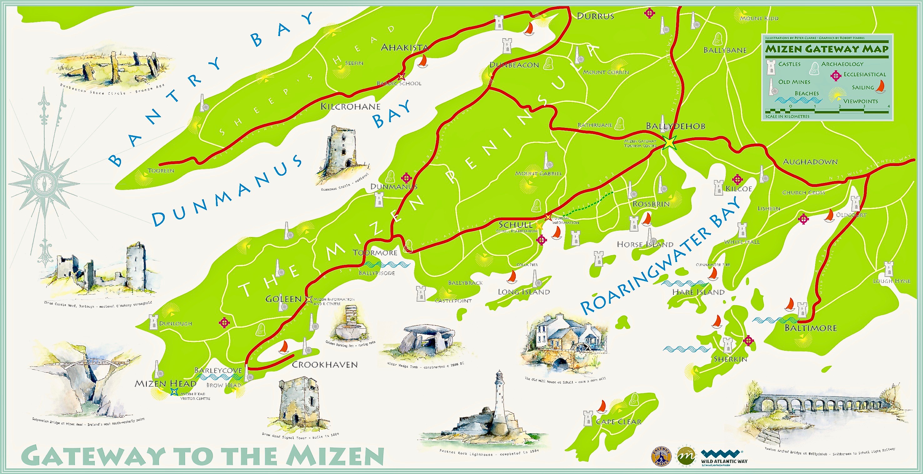
Here’s the Mizen Peninsula shown on a map drawn by Robert for the Bank House tourism centre in Ballydehob and embellished with Peter Clarke‘s exquisite watercolour sketches of just some of the places that should not be missed by visitors to West Cork . . .
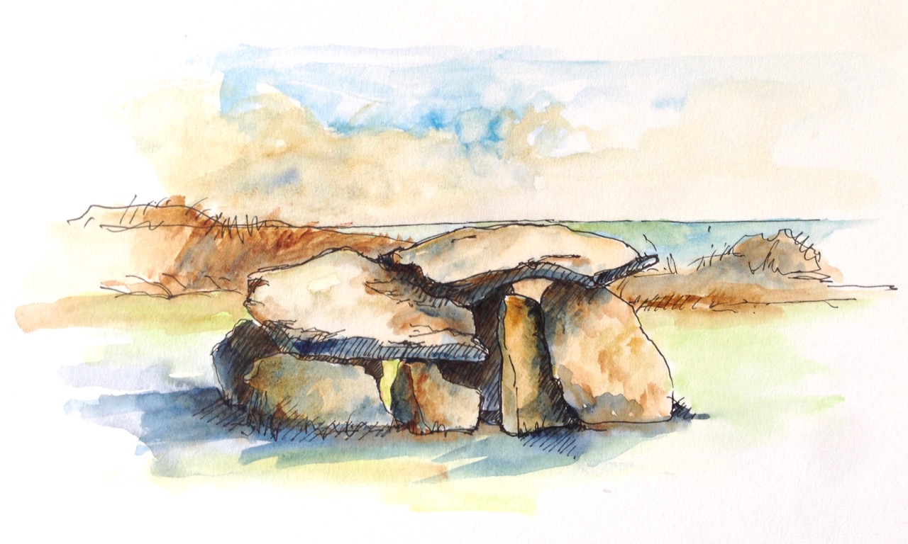
. . . And here is another rendering from Peter of one of the ancient sites that everyone goes past when travelling to the far west: possibly one of the most accessible pieces of archaeology on this section of the Wild Atlantic Way. It’s the Altar Wedge Tomb at Toormore Bay.
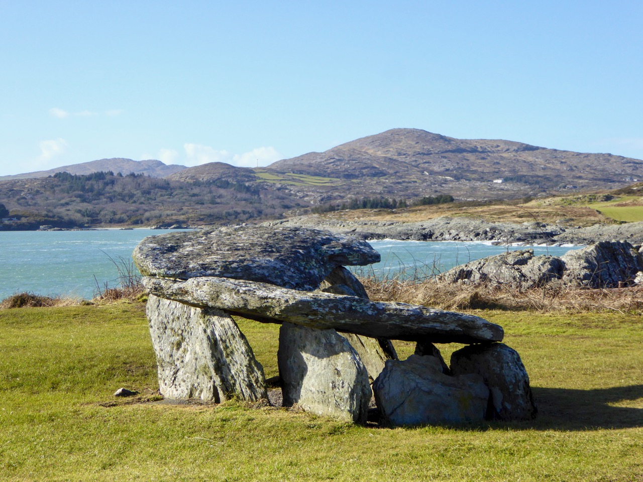
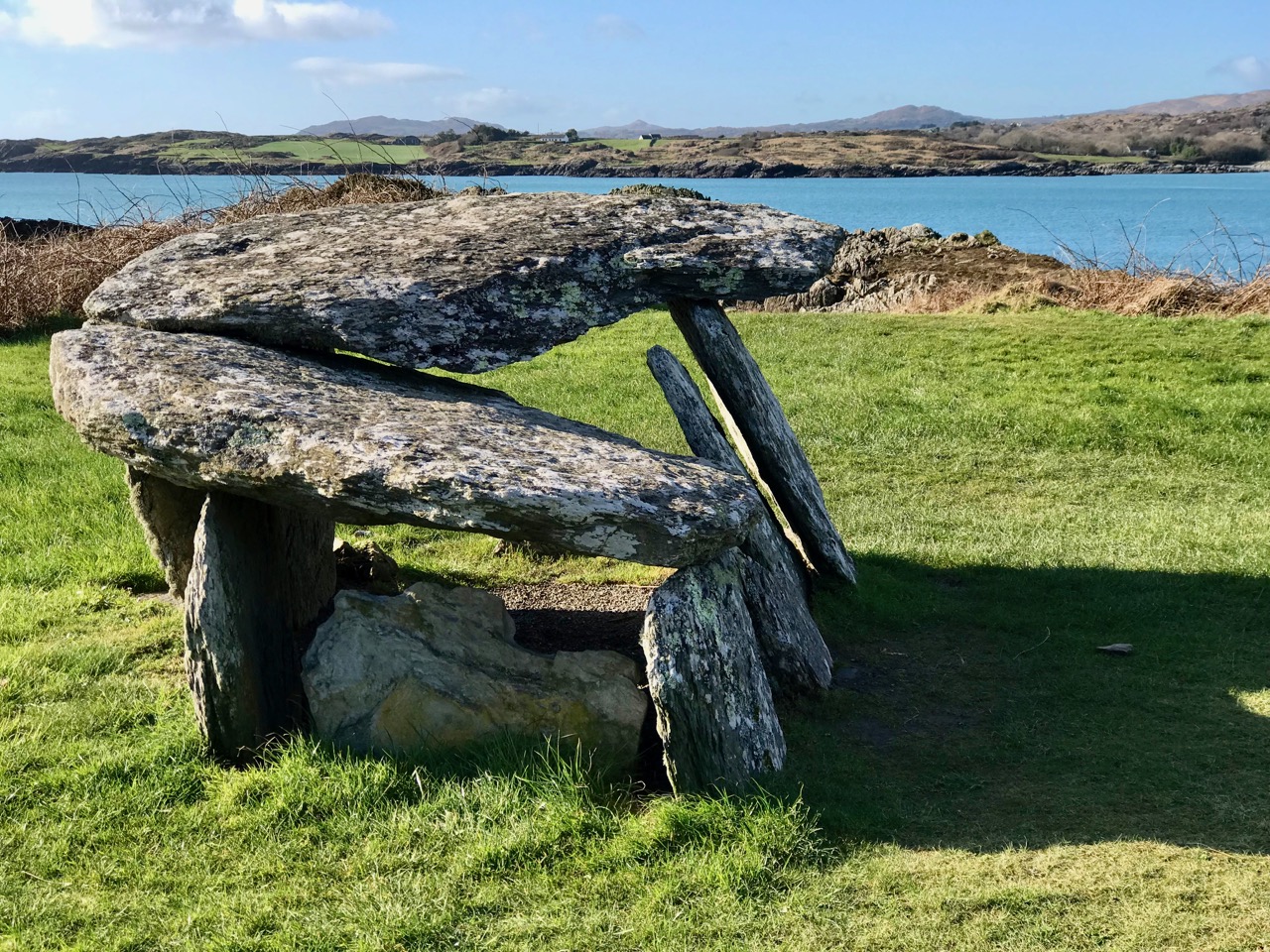
It’s early February, and Imbolc has passed. That means that Springtime has officially started here in Ireland. Sure enough, we looked out over a sunlit Roaringwater Bay this morning: soon we were heading out towards Goleen, Barley Cove and all points west. We stopped at The Altar and had it all to ourselves. You can see here that it’s orientated towards the Mizen Peak – that sharp little pyramid which is right on the centre of the picture – and lies to the west. For me, there’s a perfectly natural symbolism about placing the dead in a tomb that is aligned on the rising and the setting of the sun: that’s something we still do, several thousand years on!
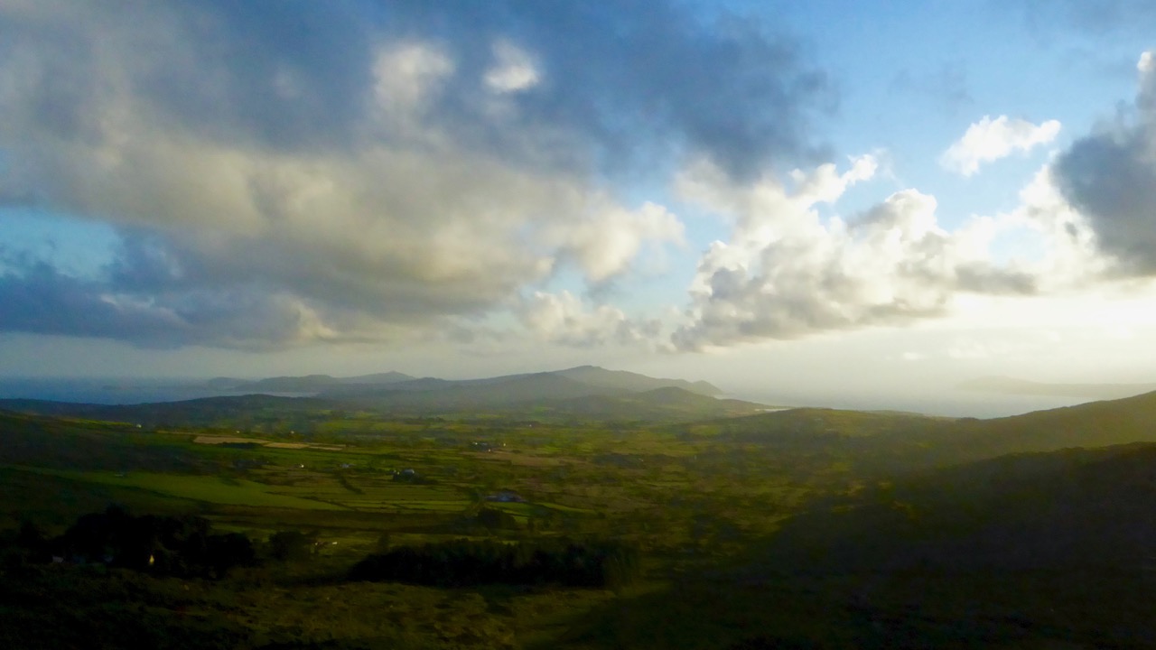
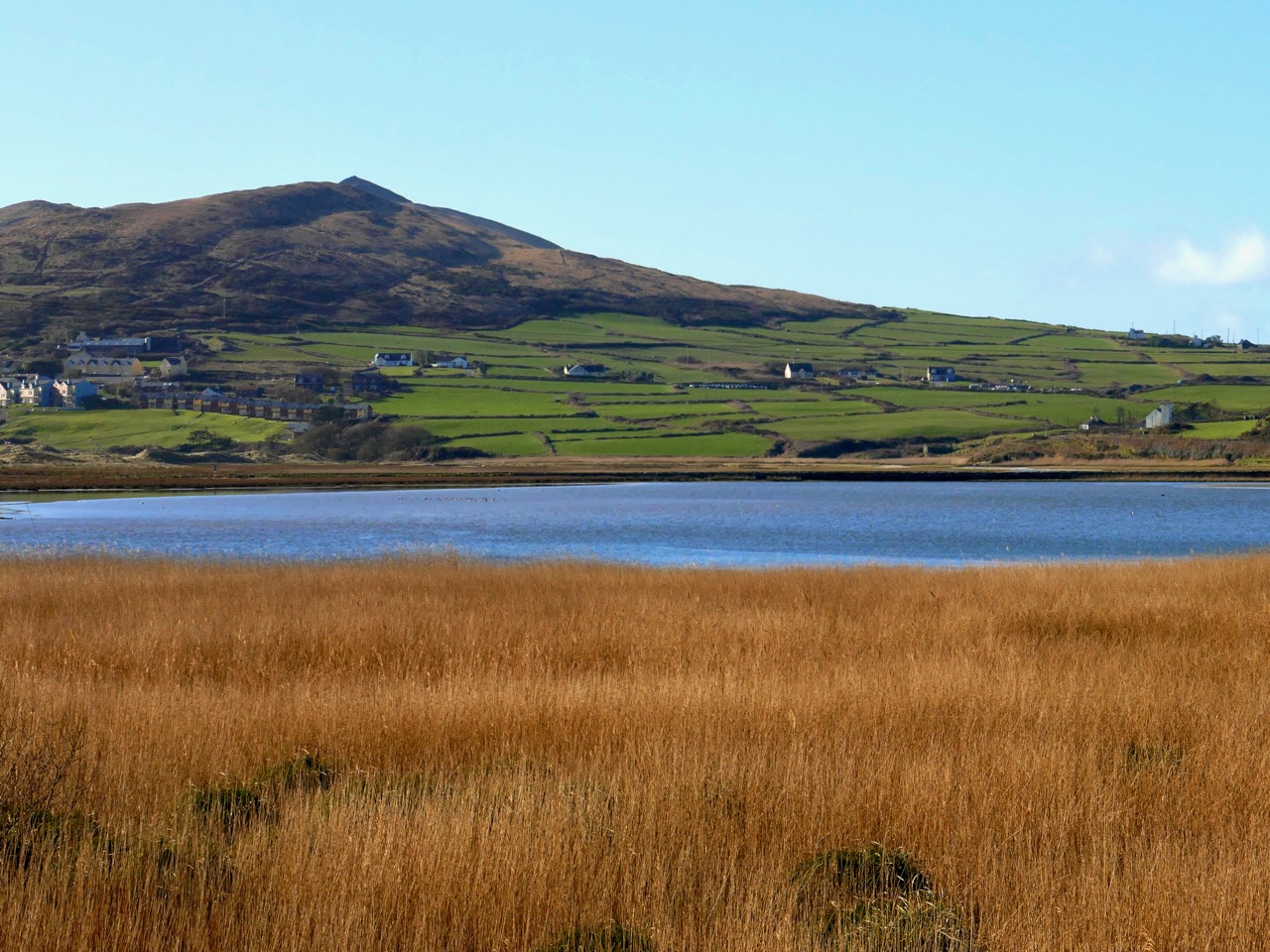
The upper picture, taken on the Winter Solstice, shows the Mizen stretching away from the heights of Mount Gabriel: the Mizen Peak is the little pointed blip just left of centre. The lower picture looks across the wetlands behind the sand dunes at Barley Cove, and was taken today in the Spring sunlight: the Peak is clearly visible as the highest point. I believe that our forebears attached great importance to high places, as many stone monuments and Rock Art often seem to be placed in the landscape with commanding views towards hilltops. Mike Wilson’s site Mega-What sets out his detailed studies of the orientation of ancient sites within the natural landscape. Here is his analysis of the setting of the Altar Wedge Tomb.

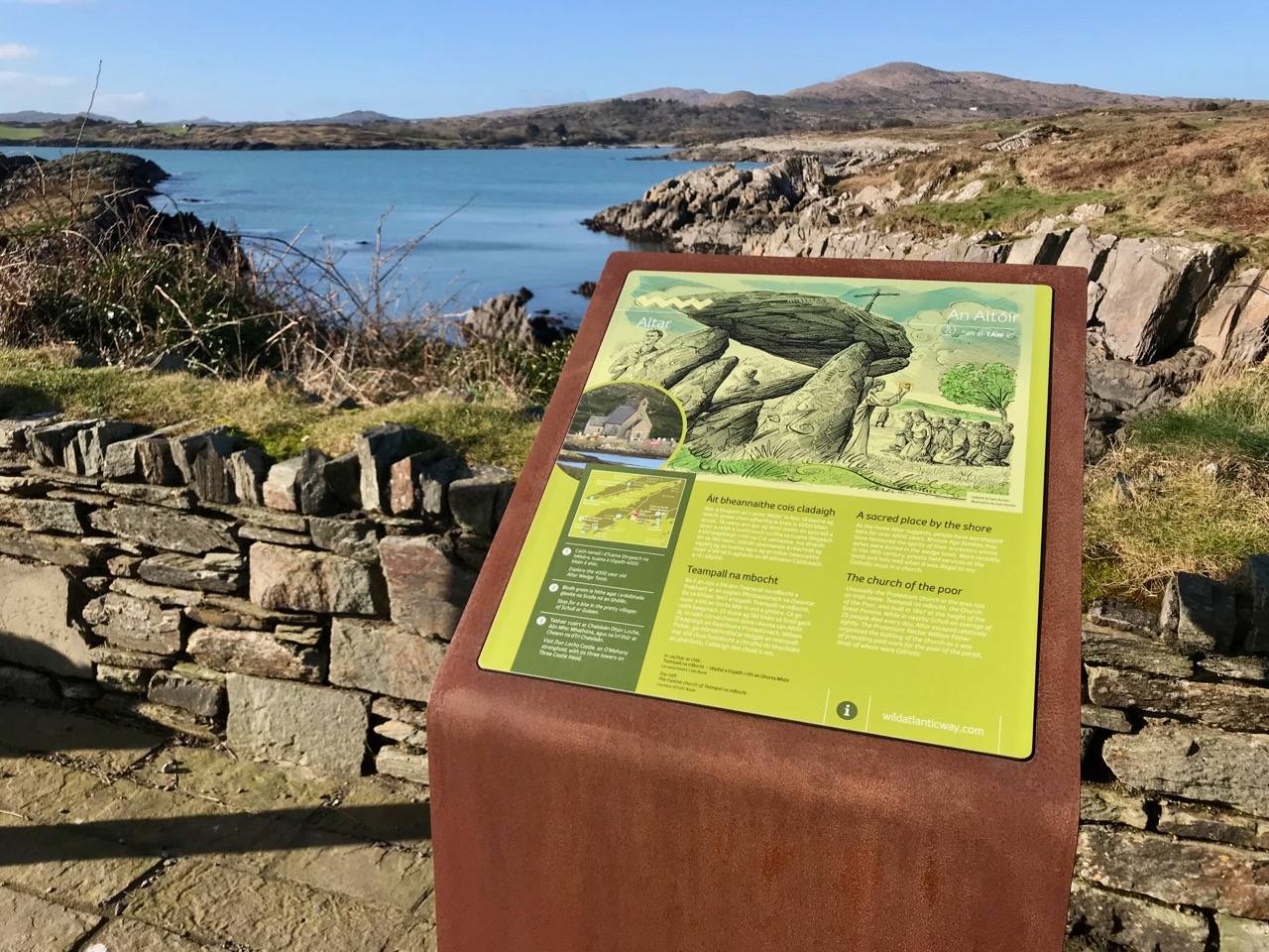
I am always alert for the ways in which our special sites are interpreted for us. I created a bit of a storm a while back when I commended the signage which has been put in place along the Wild Atlantic Way using visually strong corten steel elements (above left) supplemented more recently by (in my opinion) very well designed information boards. The image on the right above is from an earlier OPW board which explains the possible early use of the wedge tomb, while the images below show the new signage, which features the later use of the tomb as a Christian altar during the Penal times (hence the name: The Altar), with a drawing by Sam Hunter. I am struck by the way this monument has been a focal point for differing rituals spanning countless generations.
When writing about archaeological subjects I am always on the lookout for the way that antiquarians saw the sites which we are familiar with today. I had hoped that George Victor du Noyer – the subject of an excellent recent exhibition in Cork’s Crawford Gallery – might have drawn this wedge tomb when he travelled the country for the Ordnance Survey during the early nineteenth century: he may well have done, but the annotation and cataloguing of his vast legacy of work has yet to be completed and I have not found such a record. His drawings below are not of The Altar, but a portal tomb, Ballybrittas in County Wexford. Portal tombs (sometimes known as dolmens) share similarities with wedge tombs, but are earlier, dating from between 3000 BC to 2000 BC, while wedge tombs tend to be associated with the Bronze Age, which followed this period.

Cremated remains were found in Altar Wedge Tomb when it was excavated in 1989 by Dr William O’Brien, now Professor of Archaeology at UCC. We can never know exactly what the significance of these impressive structures was to those who built them. For me, I’m pretty sure that it was connected with their relationships to, and respect of, the landscapes which they inhabited, and which they invested with meaning. They must certainly have paid heed to the passing of the seasons and the continual cycles of nature, and their closeness to all of this must have given them an inherent knowledge of the paths of the sun, moon and stars. Above all, our ancestors had to understand and appreciate the environment around them, and make it work for them. In a practical sense, certainly, but also in terms of the stories they might pass on about the meaning of places.

Above – the magical landscape of the Mizen: we will never tire of it

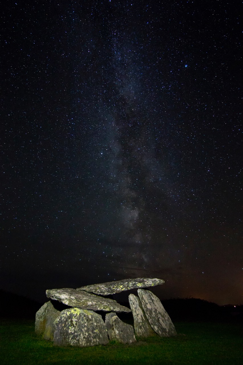
The tailpiece picture, which is from Wikimedia Commons, attributed to Lukeoc88, is a remarkable timeless view of a human construction in the setting of our Universe: Altar Wedge Tomb under the Milky Way.
Fading Treasures

For me, Ireland’s greatest treasures are those that are shy of publicity. There’s nothing more rewarding than turning off the beaten track and negotiating a narrow boreen with a lush growth of grass down the middle and brambles scratching your car on either side to find – often by chance – a stunning piece of medieval architecture, perhaps just the fragments of a ruin in a field, but revealing the beauty of a decorated doorway or an ornately carved corbel. Always these items are discernible but fading. Their splendour – and the exquisite craftsmanship that created them – are manifest. But there’s a melancholy in these finds: you see them, and wonder at them, yet you ask: how many more generations will be able to appreciate these works of ancient hands?

A classic case study would be the medieval high crosses. There are a remarkable number of these still intact on the island of Ireland, and many more fragmentary remains. We go out of our way to search for all these traces in our travels: some of those we have visited to date can be found through this link. It’s such a rich archive, and there are many more to be written up.

Above is St Cronan’s High Cross, Roscrea, Co Tipperary. As you can see, this example has been removed to an indoor location (Black Mills Heritage Centre), to protect it from further weather deterioration, although all the fine detail has been lost. In fact, this example has been assembled from sections of two different medieval crosses for purposes of display. I am an advocate of protecting these artefacts in this way, as acid rain and modern pollution seem to be accelerating the decay of the stone monuments. As in many cases with the protection measures, a high quality reproduction cross has been placed on the original site in the churchyard of St Cronan’s, just a few metres away. Have a look at my post on Monasterboice for a further discussion on the arguments for preservation of these monuments – and compare the condition of the as yet unprotected high crosses there with the wear and tear above.
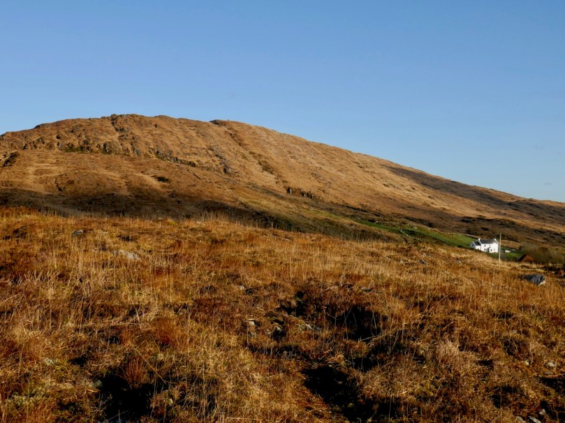
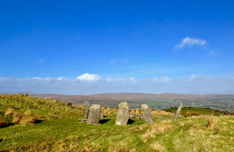
While in Roscrea, you can take your own journey along a ‘secret track’ to find treasures. Visit Inis na mBeo (Island of the Living) at Monaincha, just a stone’s throw from the town: you are likely to be the only visitors there and can fully appreciate the solitude of the location while exploring a ruined Romanesque church and a reconstructed high cross (above). The monastic site was founded in the 6th century, and was then a true island, only accessible by boat; now you can walk to it. Not least of its attractions is the fact that you are immortal while you are there (so they say). Certainly, we came back alive, but I was concerned to read later that another tradition has it that when the now dry lough contained water, no woman or female animal could ever set foot in or cross it without dying instantly. (Below – looking along the remote trackway that takes you to the former Island of the Living at Monaincha).

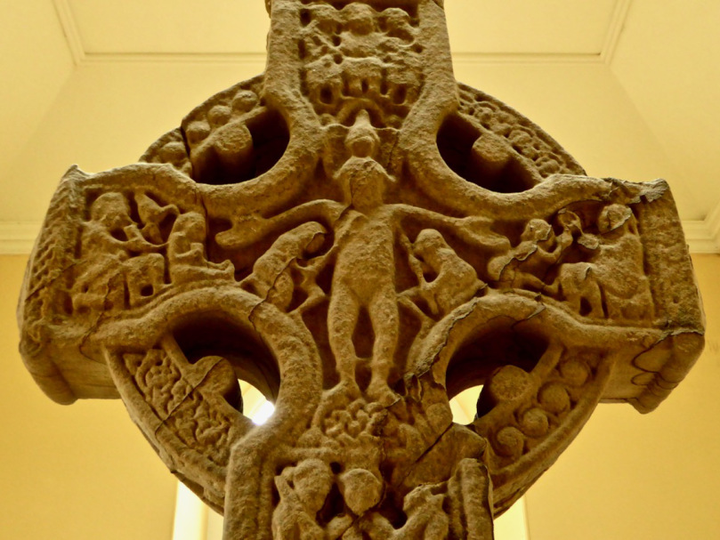
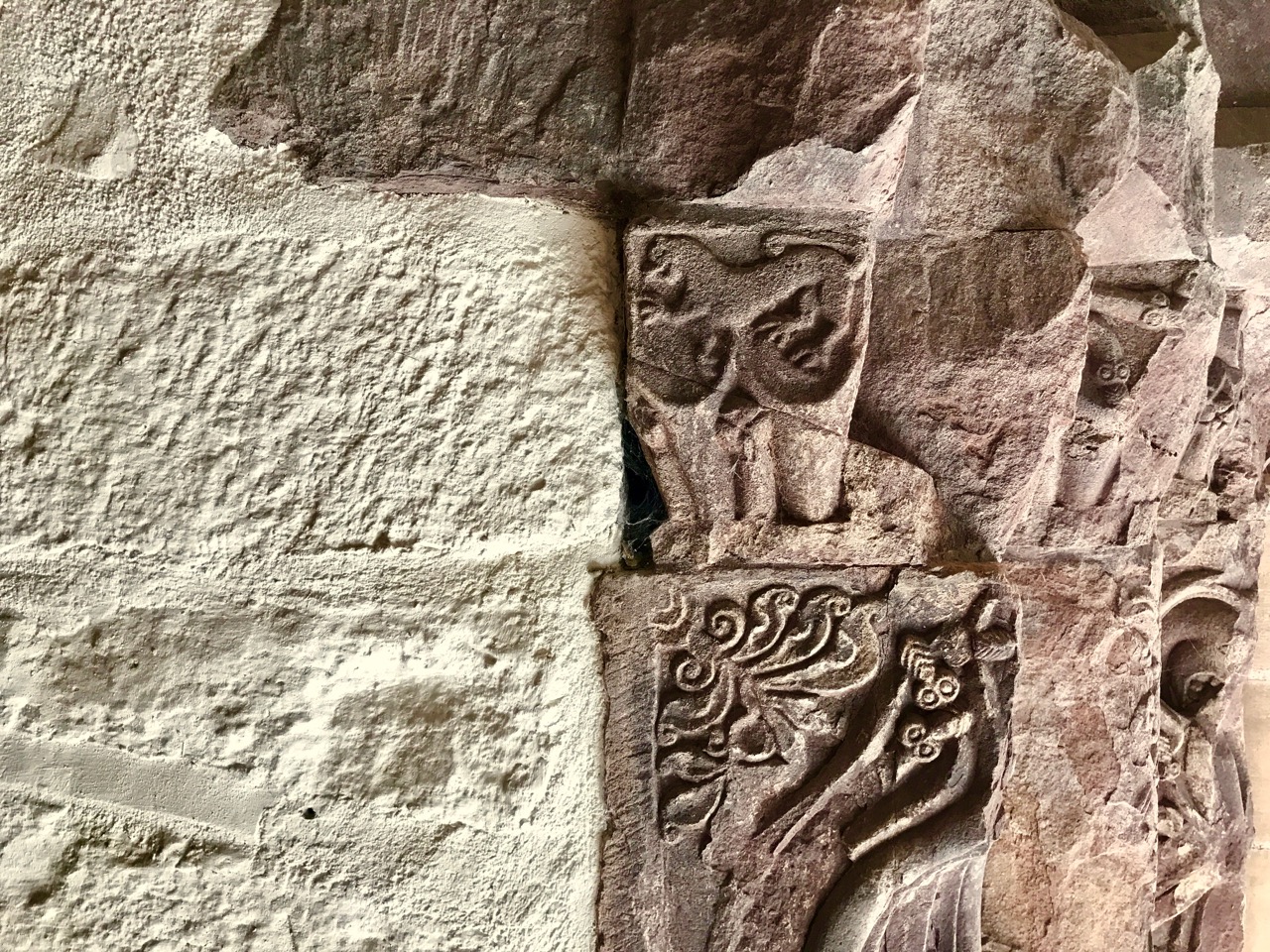
Another ‘rescued’ high cross can be found quietly located in the far less remote (but still a little unsung) Cathedral of St Flannan in Killaloe, Co Clare. Megalithic Ireland has a good account of the history of this cross, which can be seen in the images below (while the header picture at the top of this post shows exquisitely carved detailing from a Romanesque doorway in the same Cathedral):

. . . The High Cross in St Flannan’s Cathedral was moved to Killaloe from Kilfenora in 1821. Originally the cross stood on the highest point south of Kilfenora Cathedral, and became known as the cross on the hill. Dr Richard Mant who was appointed Bishop of Killaloe and Kilfenora in 1820, was appalled by the condition and lack of respect shown for the antiquities in Kilfenora. The cross, which had fallen in 1820, was sent to the Bishop the following year. He had it erected on the grounds of his residence Clarisford Palace. The cross was moved at a later date by a Bishop Ludlow and moved back within the Palace grounds in 1850. In 1934 the cross fell again and this time broke into three pieces. It was re-erected inside the cathedral and fixed against the west gable. In 1998 the cross was repaired and erected as a free standing cross. It stands over four metres high and bears a figure of christ in the centre of the head . . .

The White Cross of St Tola (images below) may not be on everyone’s list of things to see at Dysert O’Dea in Co Clare (you are more likely to be channelled to Corofin), but it’s easy to visit from the better known Romanesque monastery ruins: the ecclesiastical centre was founded by the saint in the 8th century. Cromwell’s forces destroyed the monastery and demolished the cross, but the cross was repaired by Michael O’Dea in 1683. The Synge family restored the cross again in 1871, and in 1960 it was temporarily dismantled and shipped to Barcelona for an exhibition on Irish art.

Clonmacnoise is likely to be on everyone’s list, and rightly so. It was one of Europe’s most important religious centres in medieval times. Ireland’s Ancient East website describes it thus:

. . . The whole of this early Christian site – including ruins of a cathedral, seven churches (10th–13th century), two round towers, high crosses and the largest collection of early Christian grave slabs in Western Europe – is a vast story in stone that keeps alive the spirit of Ireland as a Land of Saints and Scholars . . .

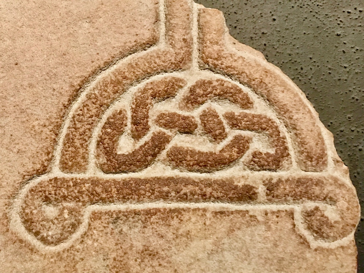
There are three conserved high crosses at Clonmacnoise – all are placed inside the visitor centre, while quality replicas are positioned on the original sites: this is a good exemplar of how to look after ancient stones and, while perhaps the seasonal crowds can be off-putting, I believe it’s the only answer for maintaining access to and displaying this valuable history. Ancient East mentions the important grave slab collection: after the high crosses (and, of course, Romanesque architecture) I feel these are the most beautiful representations of art and craftsmanship that connect us across the centuries to our remarkably focussed forebears.

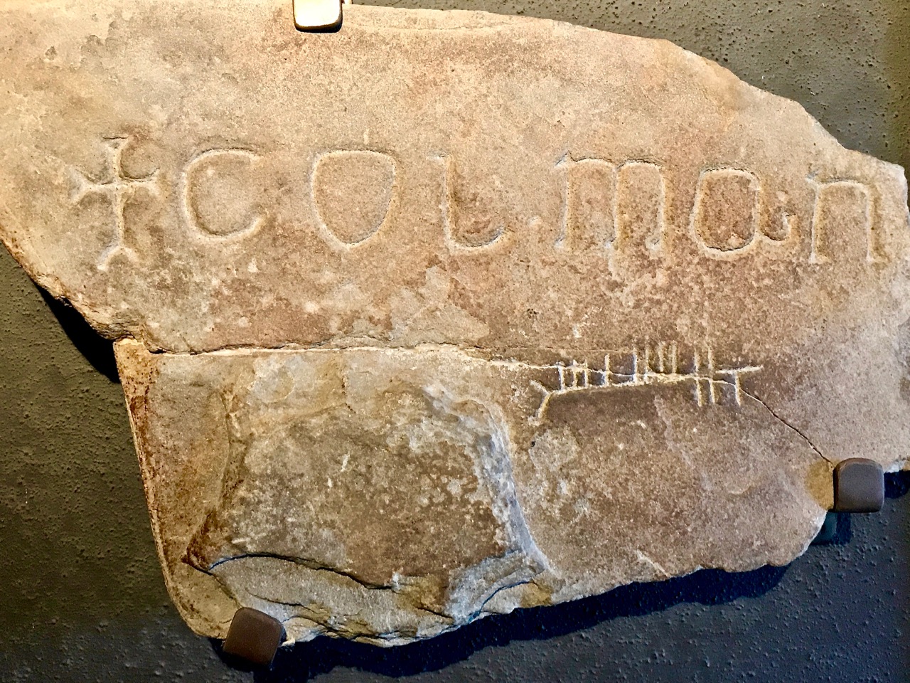
These are just a few examples of the many grave slabs which are fortunately conserved at Clonmacnoise. But there are many more monuments that are less fortunate, albeit they may enjoy some sort of state care. There are just not enough resources to look after the huge historical heritage of Ireland: we can only hope that, in time, they will all be fully appreciated and that not too many treasures will fade away.

Ireland’s Newest Stained Glass Window

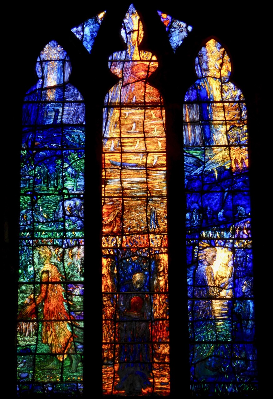
It’s in Tralee, in St John’s Church – and it’s breathtaking!

It isn’t often that new stained glass windows are installed in Irish churches. In fact, depressingly, many churches fall into disrepair from lack of use and the windows break (or are broken). Nowadays we are more likely to be losing stained glass than gaining it. So it’s a huge cause for celebration when a community commissions a new piece. Hats off to Tralee!

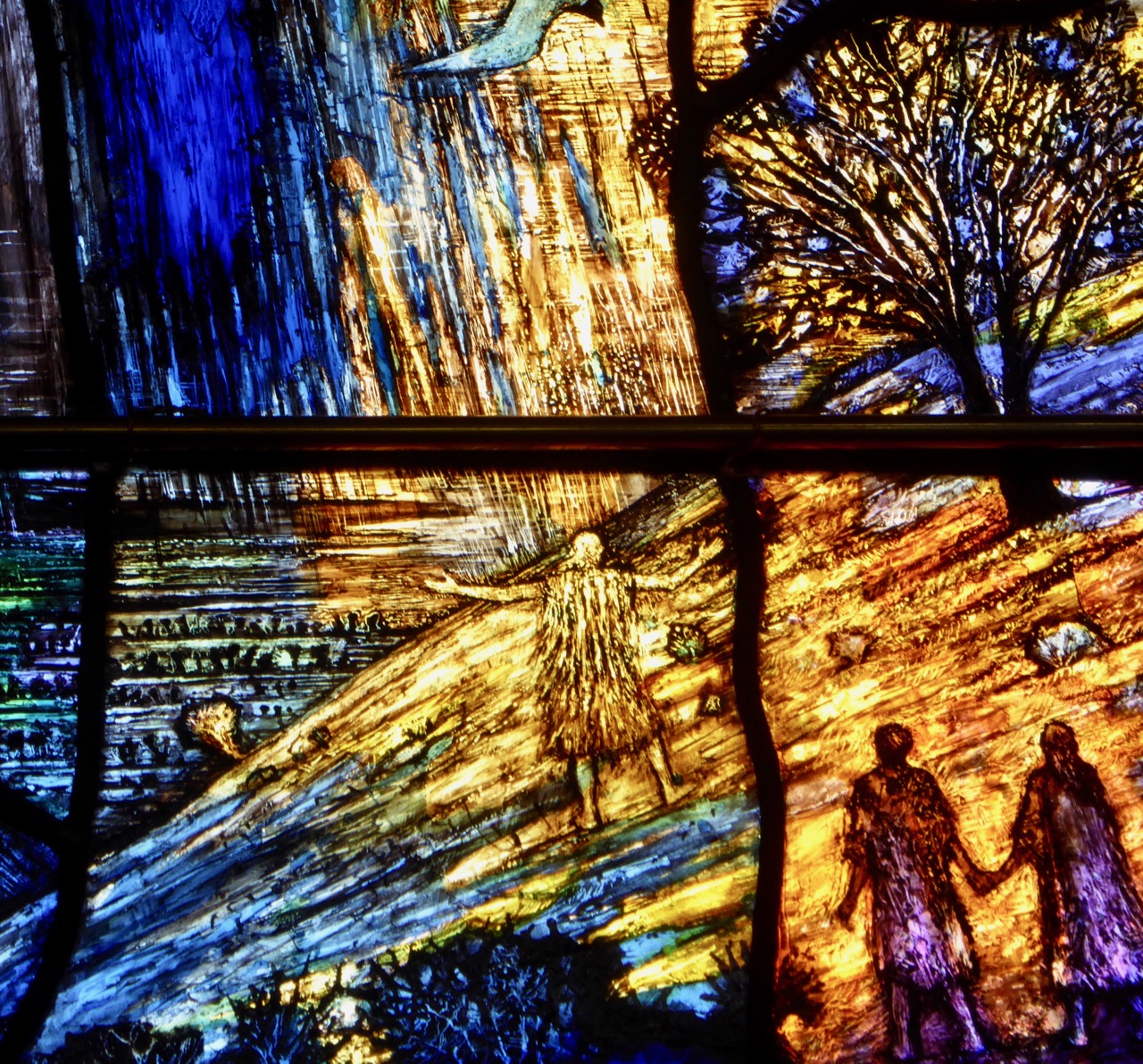
The Garden of Eden or an image of reconciliation: one of the window details

This window is out of the ordinary in many ways. Let’s start with who commissioned it, which leads us on to the theme. Although it’s installed in the Catholic church, it was a joint initiative of the Catholic and Church of Ireland congregations. There may be other windows that can claim that distinction, but I don’t know of them. (Readers?)

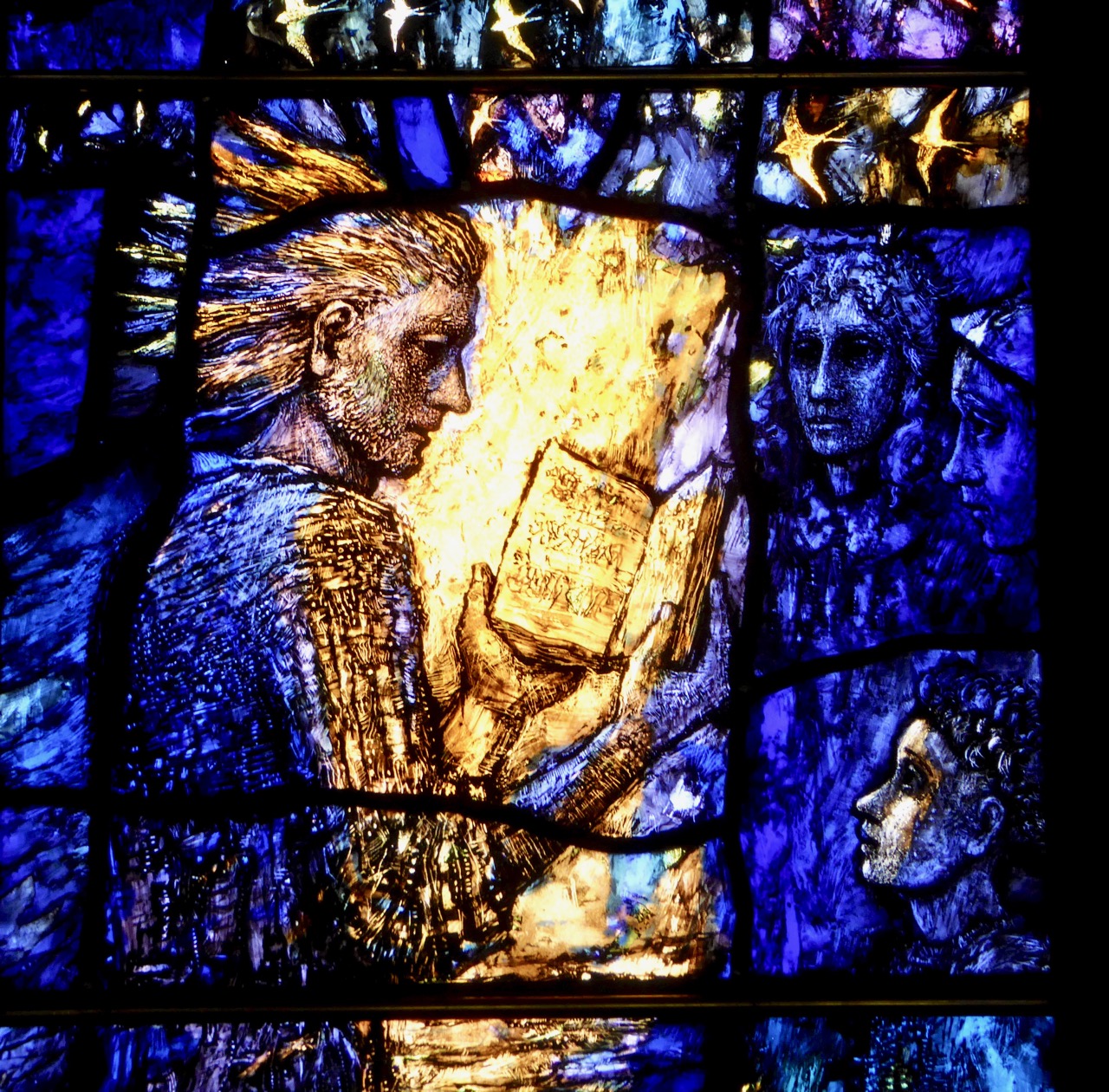
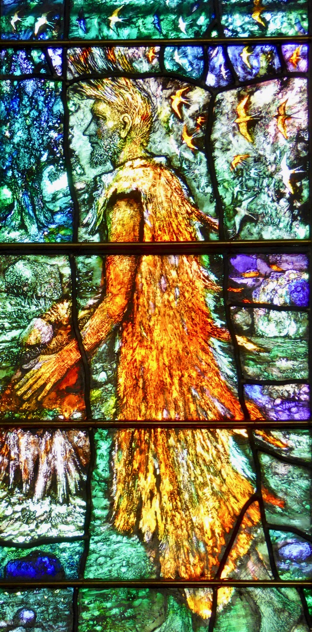
The theme is Reconciliation, and the central figure is the return of the prodigal son. The right panel is of Jesus reading from the Book of Isaiah and the left is of John the Baptist, patron saint of the church.

The father embraces his prodigal son

The Parable of the Prodigal Son is a natural choice to illustrate reconciliation, with the father embracing the son who has squandered his inheritance but returns home, contrite, to his family. Instead of punishing him (as his brother resentfully feels the father should do) his father embraces him, orders that the fatted calf be slain for a feast, and says, It was meet that we should make merry, and be glad: for this thy brother was dead, and is alive again; and was lost, and is found.

Jesus Reading from Isaiah is perhaps at one remove from a direct reference to reconciliation. It happened in Nazareth, his old home town, and he read at the behest of the elders. The passage is a beautiful one and points to ideas of love and healing, and perhaps to the real purpose of Christianity, no matter the denomination: he hath sent me to heal the brokenhearted, to preach deliverance to the captives, and recovering of sight to the blind, to set at liberty them that are bruised.

St John is the patron saint of the church 

Possibly my favourite image is that of John. Usually, he is shown in the act of baptising Jesus, but here he is, the ascetic in his coat of camel hair, very much as he described himself, as a voice crying in the wilderness.

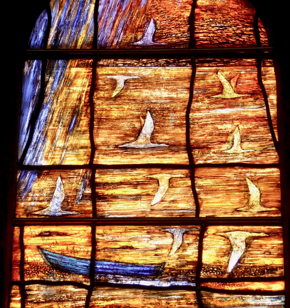
A myriad of tiny images fills the panels – figures holding hands (reconciliation), swallows (hope of spring, renewal), Tralee Bay, figures from Tralee history. . . there are even tiny names engraved where it is impossible to see them. Take a look at this video, where Tom Denny shows us some of those names.

Tom Denny? Yes – he’s the artist but the significance of that goes beyond the fact that he is one of Britain’s most eminent and respected stained glass artists, responsible for numerous windows in British churches. A browse of his website reveals the breadth and depth of his skill and the uniqueness of his style. The Tralee windows are typical – blazing with colour, filled with large and small figures and scenes that reveal themselves upon close inspection, rich and intricate, thoughtfully composed to draw the viewer into the subject of the panels.

Tralee Bay

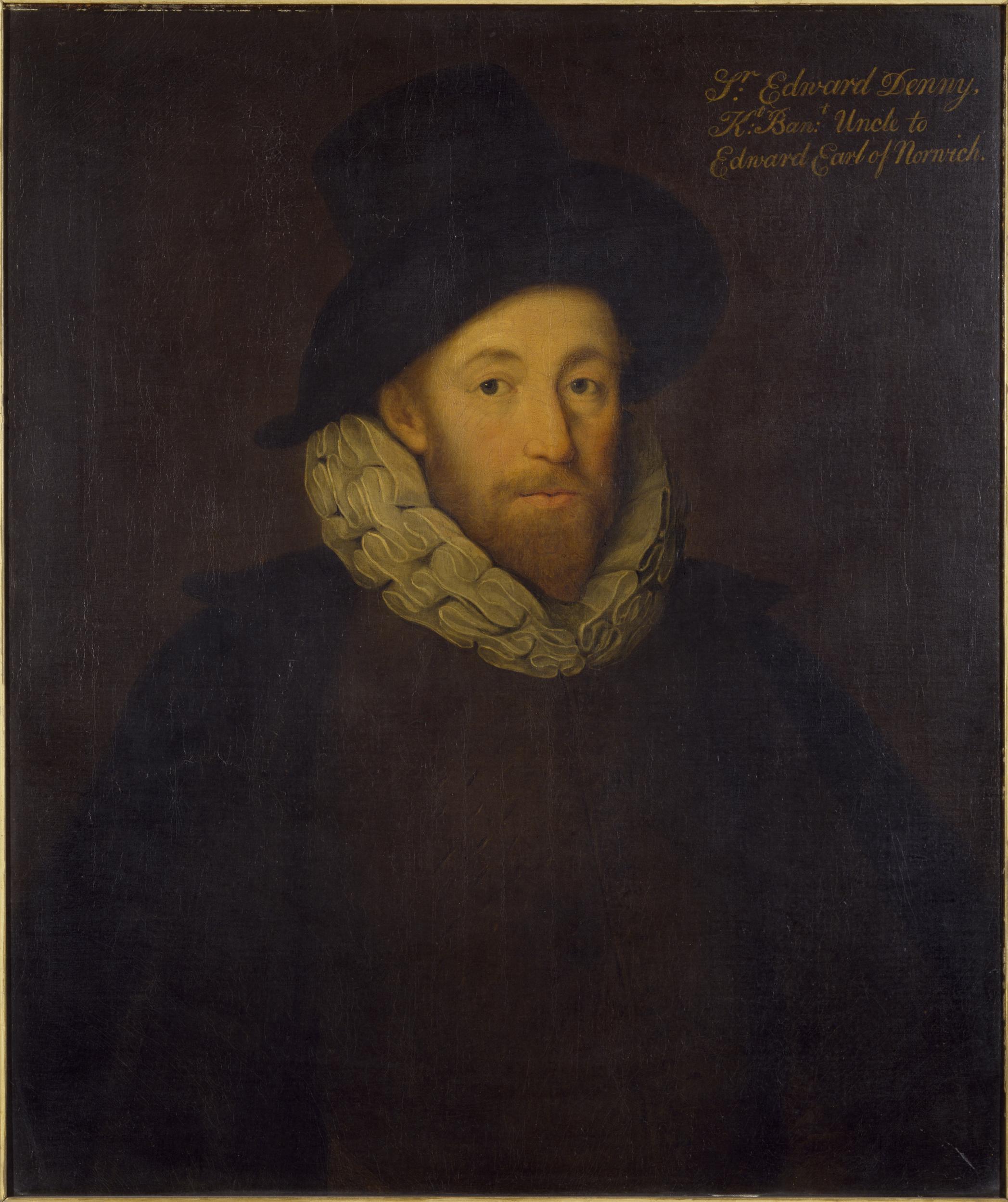
You see, the Denny’s came to Tralee as part of a British military expedition in the 1500s and the name is inextricably linked with the North Kerry area. Sir Edward Denny (1547 to 1599) was one of the architects and enforcers of the Plantation of Munster, and was rewarded with lands taken from the Earl of Desmond including Tralee Castle, a knighthood and the title of Governor of Kerry. Tom is a direct descendent. 

Sir Edward Denny. Image used with the permission of the Victoria and Albert Museum

The Denny’s stayed in Ireland for hundreds of years, branching out and acquiring land and estates. Eventually the family spent less time in Ireland and concentrated on their estates in Britain**. In Ireland, such a history as this is a complicated legacy, and Tom was eager to be part of the whole idea of a reconciliation window, donating his services to the project. Over twenty members of the Denny family came for the unveiling. This adds a rich and poignant dimension to the purpose of the window – reconciling the past with the present, and looking to the future. 

The father runs out to meet his returning son

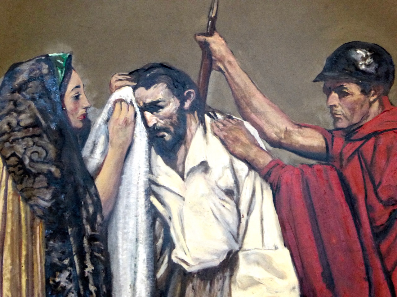
Finally, this magnificent work of art is only one of the many artistic delights of this Tralee church. They deserve a post of their own some day, but I will give you a sneak peek by telling you that the Stations of the Cross are by none other than the famous Irish artist, Sean Keating. Here’s a detail from just one of them.

My friend Eileen drew my attention to this new window.  So thank you, Eileen – as you can see I lost no time in making the trip to see it. I am SO glad I did.

**Edit: I got this wrong. There were no English estates. The Denny’s, along with many members of the Anglo-Irish landlord class, eventually lost their lands. In the case of Tom Denny’s grandfather, although he was a baronet he was also a clergyman,  living the life of an impoverished cleric dedicated to his church. The move to England was related to his church service. RTE has now screened their program on the window and it does a marvellous job of adding fascinating detail about the window and the history of the Dennys – mostly supplied by Tom himself.

Mizen Magic 7: Dunbeacon – History, Prehistory and Questions of Access

A cold and clear January day is just the ticket for a trip to the Northside of the Mizen. While Robert writes about the life of Northsiders, I want to look specifically at the area known as Dunbeacon. On rising ground that ascends to Mount Corrin and overlooks Dunmanus Bay West of Durrus, Dunbeacon offers spectacular views and lots to explore.

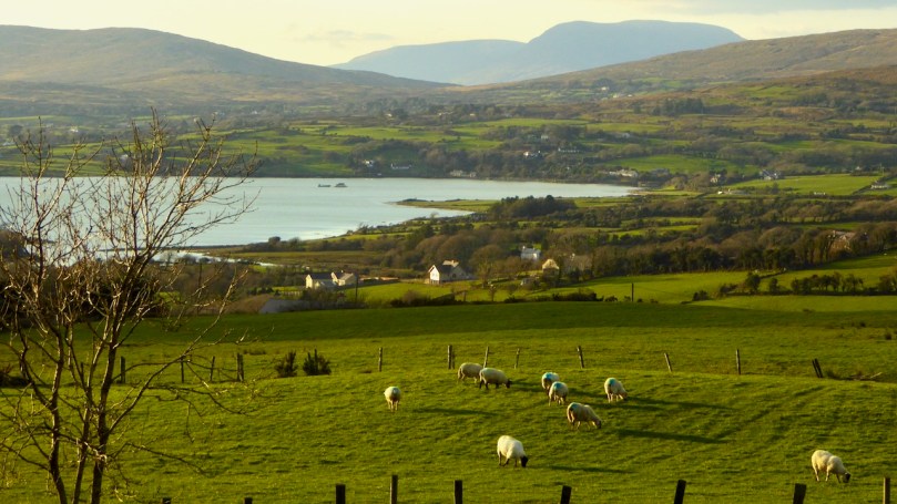
Looking across to The Sheep’s Head at the head of Dunmanus Bay, near Durrus

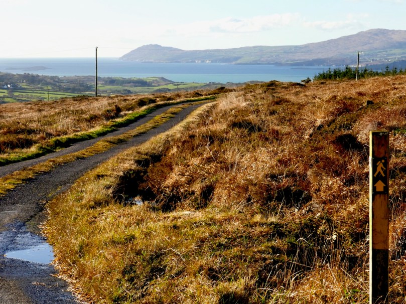
In the last few years the Sheep’s Head Way has expanded into parts of the Mizen Peninsula. This is a very welcome move and the SHW committee is to be commended on taking this initiative. Today we followed part of this new trail through Dunbeacon townland and were rewarded with glimpses of the past, lovely vistas, Caribbean blue seas – and biting cold!

This section of the trail runs along a scenic boreen

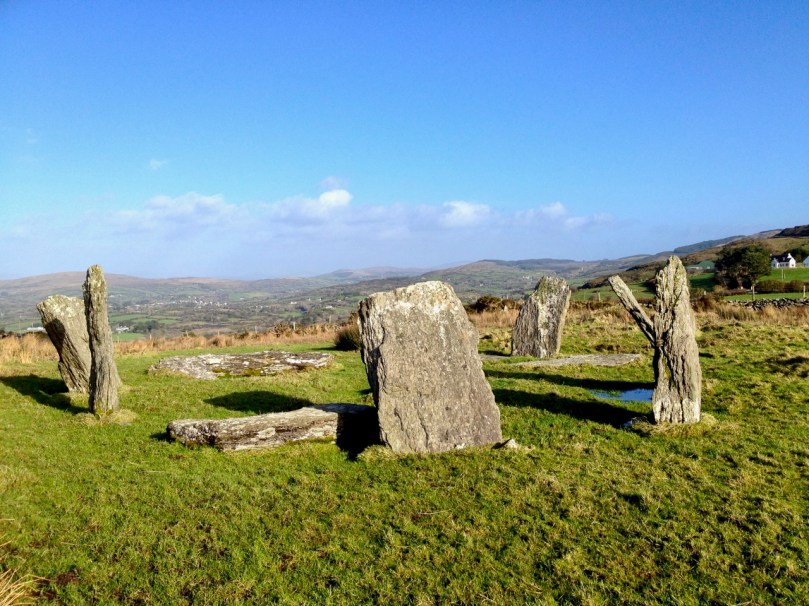
Dunbeacon is synonymous with the Stone Circle that carries its name. Robert and I have visited it on a couple of occasions in the past. We have knocked on the farmhouse door for permission to cross the land to get to it and never found anyone home. We proceeded anyway, albeit slightly nervously as it was an obvious trespass on a working farm. The stone circle is sited on a small plateau with views east and south to Mount Corrin and Mount Gabriel, although rising ground to the northwest obscures Dunmanus Bay.

Mount Corrin: a large cairn on top can be seen from many miles away. We have walked up to this cairn – see our account of it here

The circle is incomplete so it is difficult to know exactly how the builders intended its orientation as the portal stones and recumbent are missing. It may have had a central monolith. (For a complete explanation of Stone Circles see our post Ancient Calendars.) However, the clear view to the east and south horizons are design features that link it to sunrise and moonrise at certain times of year.

This photograph of Dunbeacon Stone Circle, and the one that heads up this post, were taken before the access trail (described below) was built 

Intriguingly, Michael Wilson, of the Mega-What Website, says that practically the stone circle is really half a monument: what it takes to complete it for calendrical purposes are two other elements across the valley in Coolcoulaghta, a standing stone (now gone, but its position is known) and a standing stone pair.

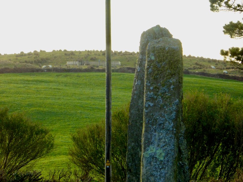
The Coolcoulaghta standing stone pair, with Robert for scale. These stones were knocked down in the past but re-erected following a local outcry. Access and parking are now provided

Having studied the area carefully, Mike saysThis site [the standing stone] combines with the Stone Circle 400m away at Dunbeacon to enable observations of the lunar nodal cycle in all four quadrants as well as giving complete all year round solar coverage. It thus seems likely that the Standing Stone was an original outlier to the Stone Circle and that the Stone Pair was added later, probably by a different group of people, in such a way as to make a minor technical improvement.

It’s further than it looks in this picture, but there is a clear view to the stone circle from the standing stone pair. In between is the most annoyingly positioned electricity pole in Ireland

As part of the development of the new walking route, the SHW group has negotiated access to the Stone Circle, and has, in fact, built a fenced trail across the fields and up to the circle. This, of course, is excellent in that it finally provides open access to this wonderful site. There is, however, a problem: the stone circle is now surrounded by a wooden fence on all sides that severely impacts on the appearance and atmosphere of the site. While it will keep cattle away from the stones (cattle can do a lot of damage to sites like this) and provide a safe zone for walkers if there are animals in the field, it has become impossible to relate to the site in the same way as we used to.

The last section of the fenced trail. The fence around the stone circle can be clearly seen now

The author of the Facebook Page Walking to the Stones expressed himself thus when he saw the new enclosure: “The wire fenced avenue turns into a wooden fenced coral. The stones, imprisoned in a begrudgingly small pen. The wildness has gone, the mystery has gone. You might just as well be standing in a sterile museum environment. What have they done?” His comments generated a chorus of agreement.

Indeed, it is hard not to look in dismay at a fence like this. It makes taking photographs of the whole circle well-nigh impossible. It creates an overwhelming visual barrier between the circle and its surroundings. As an erstwhile archaeologist, I also have to wonder what was disturbed as the post holes were dug. And yet, all of this was done with the best of intentions, and it has succeeded in providing public access to the site. I would be interested in our readers’ thoughts.

It is quite difficult now to get a photograph of the entire circle. This one is partial, and shows a clear sightline to Mount Gabriel

Before we leave Dunbeacon, I can’t resist a quick trip down to what’s left of Dunbeacon Castle. One of a string of O’Mahony Castles on the Mizen, this tower house once guarded the head of Dunmanus Bay. Its siting is strategic – no ship was going to penetrate to the head of this bay without being in clear view of this stronghold. The O’Mahonys controlled fishing and trade in this area from the 12th to the 16th centuries and became fabulously wealthy in the process.

What’s left of Dunbeacon Castle

This castle would once have been the dwelling place and administrative centre of a powerful chief. He would have hosted banquets where his poets and musicians entertained the guests with stories and song. Alas, after the Battle of Kinsale all the O’Mahony tower houses in this area were taken by the British and many that were left standing were dealt a final blow by Cromwell’s cannon.

Not much left – but what an incredible position!

The centuries pass. The old Mount Corrin mines are no more. The sizeable population sustained by potatoes was devastated by the Famine. Now the land is grazed by cattle and sheep and a few farm houses dot the landscape. It is a peaceful and beautiful place. Do the walk – you will be in the footsteps of farmers and chieftains, of herders and megalith builders and astronomers, of miners and fisherfolk who have called this place home for thousands of years.

It’s Been Five Years! Finola’s Favourite Posts

I can hardly believe it – we’ve been doing this for five years now and we’re nowhere near running out of ideas for posts. And have you read Robert’s post? Imagine being called a 21st Century Robert LLoyd Praeger! Thrilled. But in fact as I dip into Praeger again I recognise in us the same impulse he had – to wander the land and discover all that it has to offer.

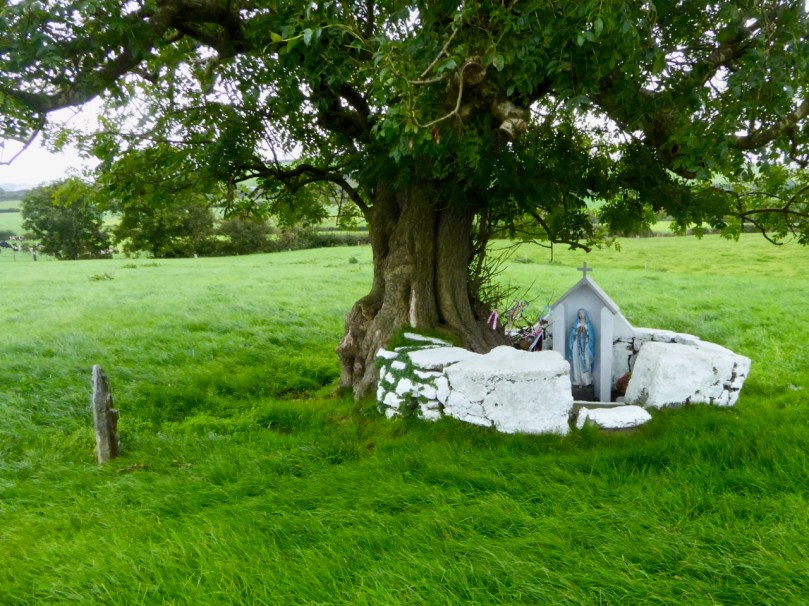
Amazing what you stumble across in the countryside, like this holy well and its offerings

One of the wonderful things about blogging like this is how much you LEARN every day, about Ireland, our neighbours, the ground we walk upon, the history and archaeology to be discovered around every corner, the wisdom of country people, the humour and expressiveness of Irish speech, the breathtaking beauty of the landscape. So where on earth to begin?

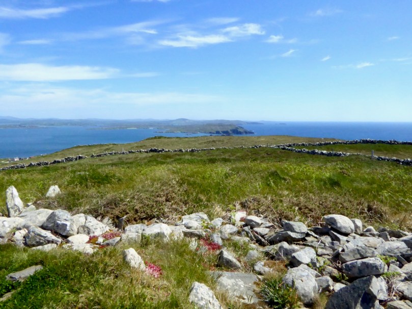
Our interest in archaeological sites led us to hike to the highest point on Cape Clear Island to see the sparse remains of a neolithic passage grave – and what a spectacular view there was from it, towards Sherkin Island and all the way down the coast of West Cork

Like many, I sat in churches as a child unaware of the architectural splendours around me. One of the delights of returning as an adult is discovering Irish stained glass, really seeing it for the first time. Harry Clarke, of course, is always a favourite, but I have been thrilled to discover other artists too: Richard King, George Walsh, the artisans of the Tower of Glass. There will be lots more posts about stained glass in the future as I unearth more treasure.

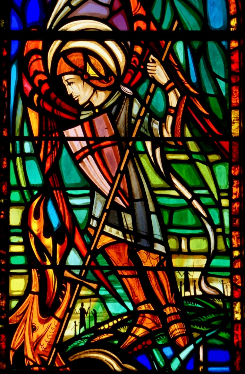
A recent discovery, George Walsh windows in a rural church in West Cork. This is his rendering of the Archangel Michael defeating the devil as a dragon

Going back to my roots as an archaeologist has been an extraordinary journey – so much has changed, so much has not. I started out in archaeology in the 70’s, although life got in the way of that career eventually. It was a small profession then: it exploded in the 80s and 90s with the advent of huge building projects, then contracted again when the recession hit.

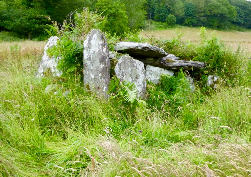
I love the quiet little sites you find when you least expect them – this is a wedge tomb in the middle of a field. It has cupmarks all over one of the capstones

I have gone back to researching prehistoric rock art and finding that, while some excellent work has been done in this field over the last 40 years, there is a lot of scope still for an independent researcher to contribute to our appreciation of this little-known aspect of Irish prehistory. Along with our exhibitions, I’ve written several posts (not all of them happy) on this topic, and we are currently working on a paper for the Journal of the Bantry Historical and Archaeological Society on a special group of rock art panels at Ballybane.

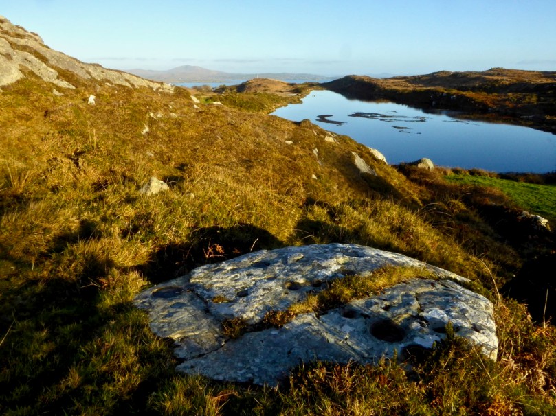
Castlemehigan, one of our favourite rock art sites, with views right back over the Mizen Peninsula to Mount Gabriel

When I studied at UCC under Professor O’Kelly the emphasis was firmly on prehistory and we spent little time on medieval structures (or later ones, heaven forbid!). But when you are free to pursue whatever tickles your fancy, you find yourself wandering down a variety of rabbit holes. I became fascinated with Romanesque ecclesiastical architecture and with the tower houses (we just call them castles) that dot the countryside around here and the later iteration of the Big House – fortified manors. Visiting these intriguing ruins all over West Cork (and Ireland) has given me a whole new appreciation for how we lived and what we believed in the past.

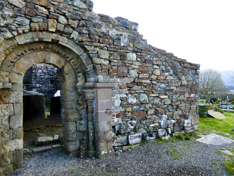
This is the ruined romanesque church of Aghadoe in Killarney. It’s got this lovely doorway, but what makes it particularly meaningful for me is that my great-grandparents are buried in the graveyard it stands in

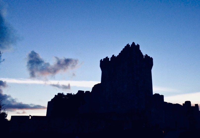
Ross Castle in Killarney against an evening sky

Living in West Cork is great FUN – there is always something to do and a new adventure around the corner. Many of the adventures we’ve had have been shared with our friends and fellow bloggers Amanda and Peter Clarke (Holy Wells of Cork and Hikelines). Visiting holy wells has introduced us to parts of Cork we might never have seen, to obscure saints with fascinating backstories and to folk practices that endure in the deep countryside. Walking the Sheep’s Head (my lead photograph, top of page), in all seasons, reminds us that you don’t have to go far to be immersed in jaw-dropping scenery and reminders of our ancient and more recent history.

The holy well of St Teskin, an East Cork saint

Lest you think that this is all sounding a bit academic, the posts that have been most fun to write were the ones on how we speak around here (and how you, too, can learn the basics of West Cork lingo), the ones in which I lamented my encounters with Irish bureaucracy, especially when it came to my driver’s license!

I still haven’t calmed down about the driver’s license – what they put me through, when I could have been driving THIS!

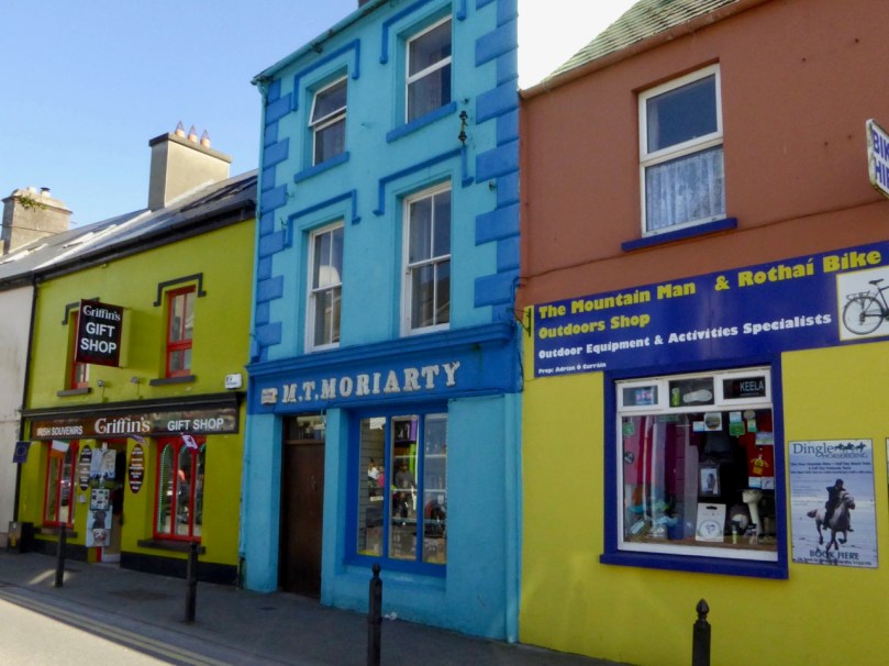
And I loved doing the posts about the tradition of painting our houses in arresting colours. With the colourful houses series, I feel a bit like a chronicler of a vanishing tradition – each time I look for one of my favourite pink or lime creations it seems to have been repainted a ‘tasteful’ variant on beige. Long live those brilliant colours – we would be poorer without them!

The town of Dingle is proudly keeping alive the tradition of painting each building a vibrant colour. – it’s a feast for the eyes

Finally, one of my greatest joys in the last couple of years has been to go for a walk with my camera and photograph the abundant wildflowers of West Cork. From someone who barely knew a daffodil from a daisy, I have developed a passion for the natural glories I see in the hedges, fields and yes, waste grounds, around me.

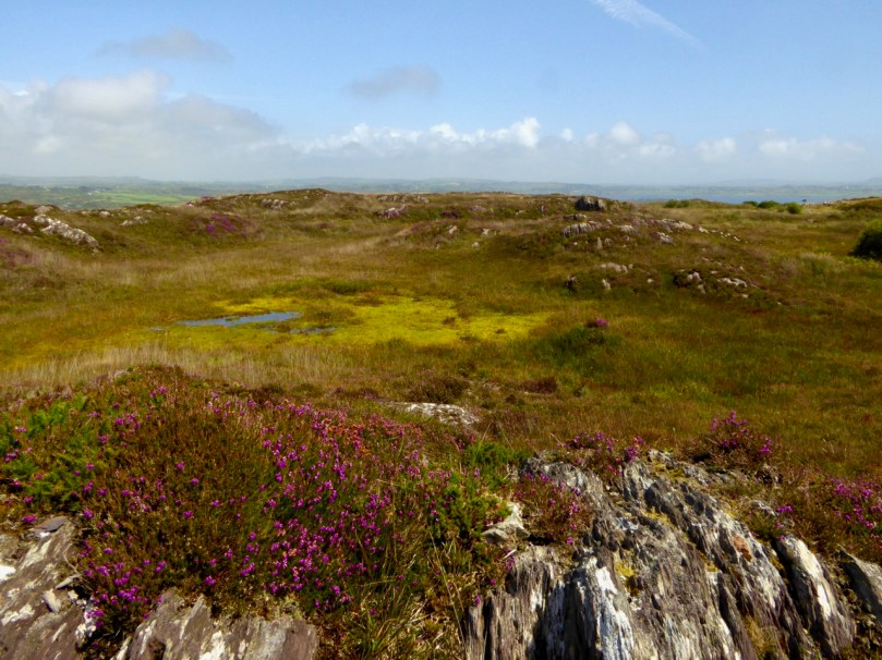
Just a typical roadside verge in West Cork

We adore West Cork, but we are also fearful for it as we see the pressures farmers face to make their land more and more productive. Inevitably, this means bringing in a rock breaker and turning the field into a mono-culture grass carpet. What we lose in this process – we humans, the bees and insects we depend on, the birds, and our heritage – is incalculable.

This tiny raised bog is home to some very interesting flowers, including the carnivorous Sundew

Here’s to many more adventures!

With friends like Susan Byron of Ireland’s Hidden Gems, or with my favourite travelling companion and blogging buddy, Robert!

Robert’s Favourite Posts

We had an unexpected – and unsolicited – accolade in the Irish Examiner last weekend! Tommy Barker wrote, in an article about Rossbrin (pictured above): “…The wonderful literary and visually rich website, http://www.roaringwaterjournal.com, by Rossbrin residents Robert Harris and Finola Finlay is a treasure, a sort of 21st century Robert Lloyd Praeger, online…” Of course, we went straight to our bookshelves to dip into our copy of Praeger’s The Way That I Went – An Irishman In Ireland, first published in 1937. Here’s an extract:

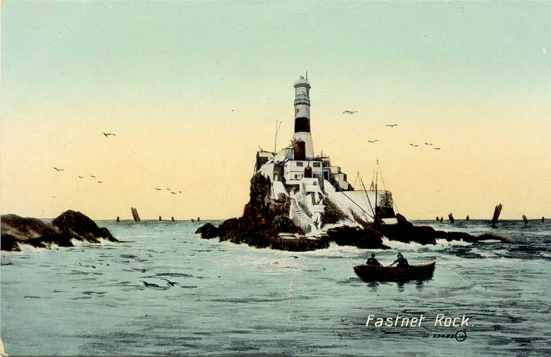
…At the southern end of this land of great mountain promontories, in West Cork, you find yourself in a little-known and tourist-free region of much charm. You stay on Sherkin Island (Inis Oircín, little pig’s island) or Cape Clear Island, at Schull (Scoil, a school) or far out at Crookhaven: and you walk and boat and fish and lounge and bathe, and enjoy the glorious air and sea; towns and trams and telephones seem like bad dreams, or like fugitive glimpses of an earlier and inferior existence. A meandering railway penetrates to Schull, and roads are as good as you could expect them to be in so lonely a country. All is furzy heath and rocky knolls, little fields and white cottages and illimitable sea, foam-rimmed where it meets the land, its horizon broken only by the fantastic fragment of rock crowned by a tall lighthouse which is the famous Fastnet…

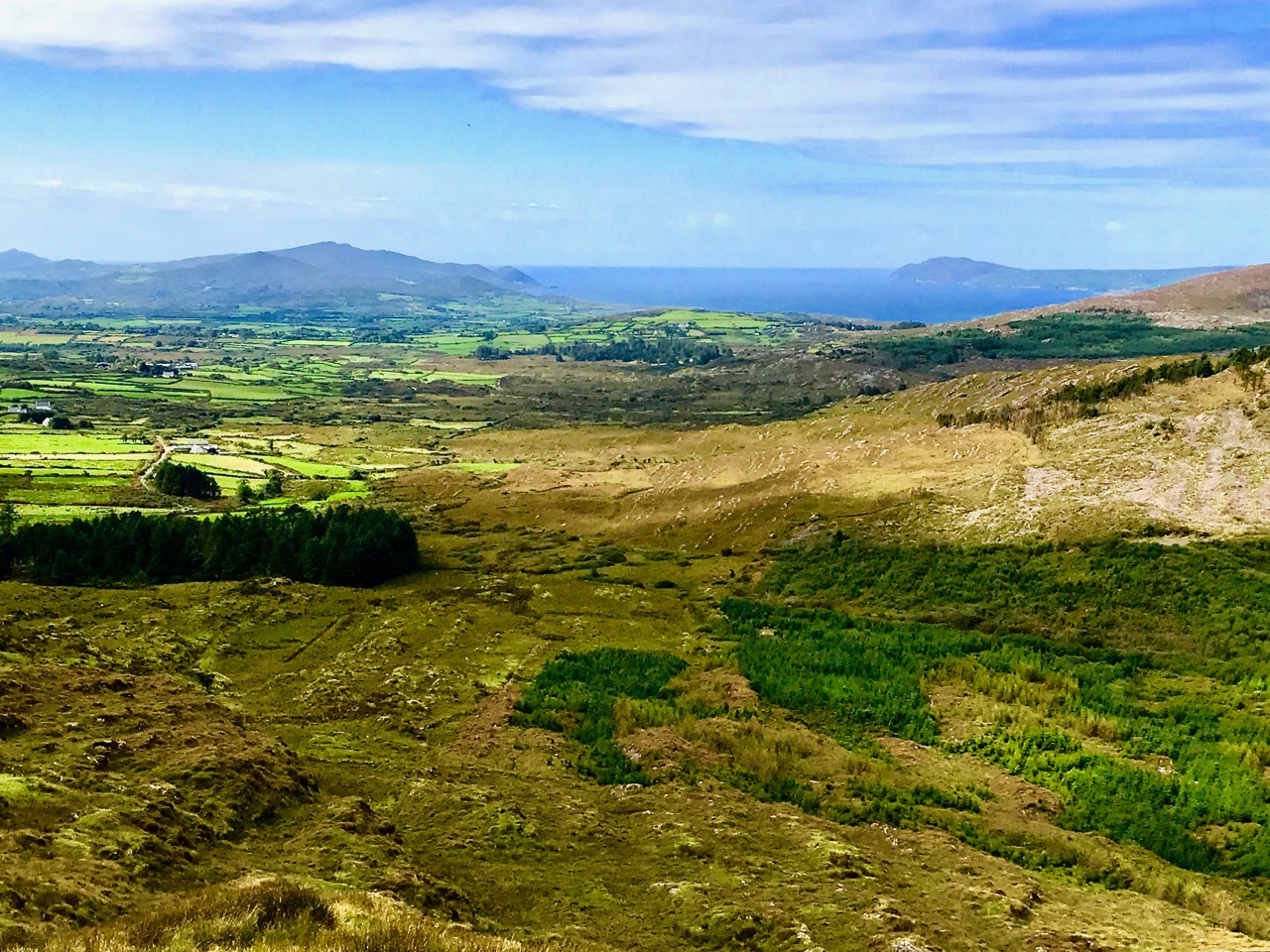
Yes – that’s our West Cork alright (above is a view of the Mizen taken from Mount Gabriel). We hope that, over five years of writing this journal, we have indeed given a good account of this wonderful place which we are privileged to call ‘home’. Certainly, there is nowhere we would rather be. But Roaringwater Journal has not just been about West Cork: we have covered a fair bit of Irish culture and history as well. Last week’s post set out the six most popular articles that we have written in terms of readership numbers; today we are both reviewing our own personal favourites (see Finola’s here) and there is lots to choose from: 466 posts to date! All of them are listed by category in the Navigation pages.

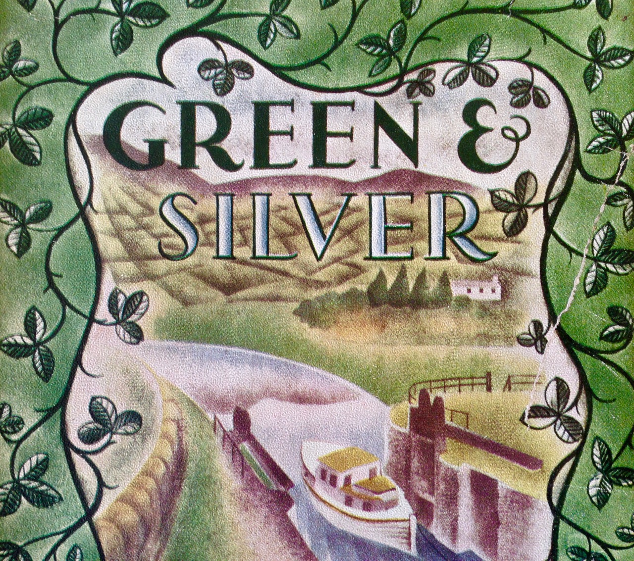
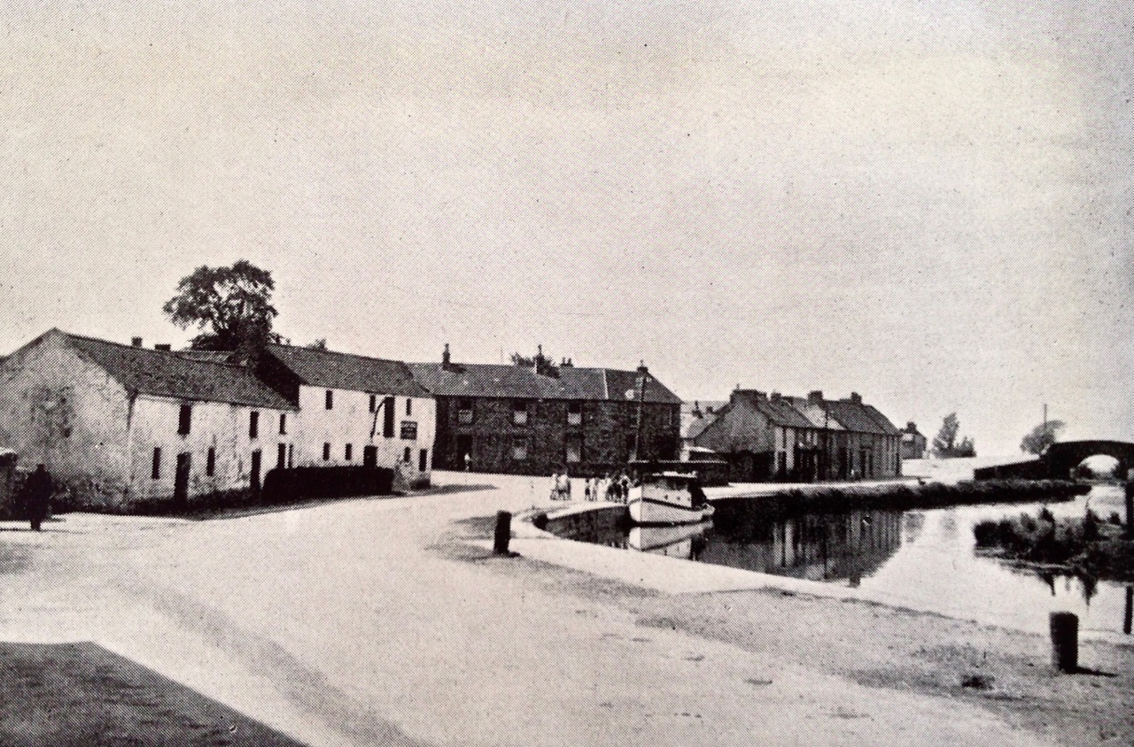
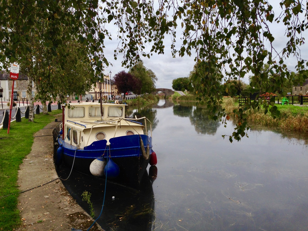
Foremost in my own mind in terms of personal satisfaction is the series I wrote last year: Green & Silver. There have been nine posts in all, starting with my review of a book which I first read in 1963, when I won it as an essay-writing prize at school. The book, Green & Silver, told the story of a journey around the Irish canal system in 1946 (the year I was born), undertaken by an English engineer and writer, L T C ‘Tom’ Rolt and his wife, Angela. When I wrote the review 70 years had passed since the Rolts made that journey. Finola and I conceived the idea of retracing the steps of the Rolts, although not by boat: we drove and walked. It was to be an exercise in tracking the passing of time. We would find the location of every photograph that Angela Rolt had taken in 1946, and take a new one, so that we could compare the changes that had occurred over seven decades. There were many: the canals themselves, which were then near-derelict in places have now been well restored, and the island of Ireland has today an amazing but probably under-appreciated asset: a cross-border system of navigable waterways which connects Waterford, Limerick, Dublin, Belfast and Coleraine.

Canal port: Richmond Harbour, Co Longford. Upper picture taken by Angela Rolt in 1946; lower picture, the same view taken 70 years on

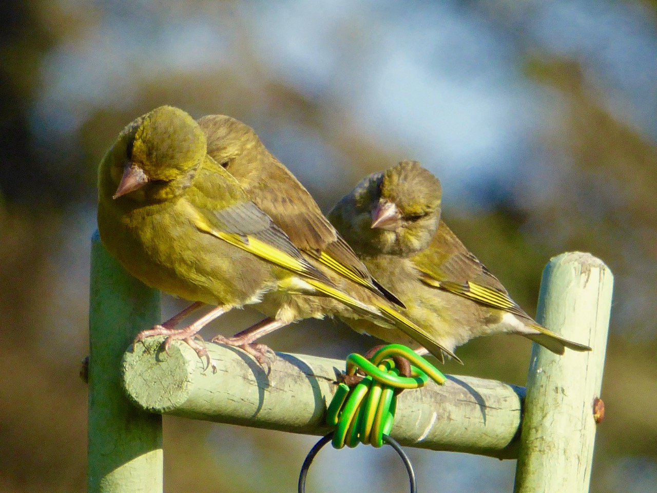
I have always had an obsession with wildlife, and one of my favourite posts summarises what wonderful natural things we have all around us here: The Wild  Side. We have written about the birds – choughs, eagles, sparrowhawks – and the little ones that come to our feeder and keep us entertained.

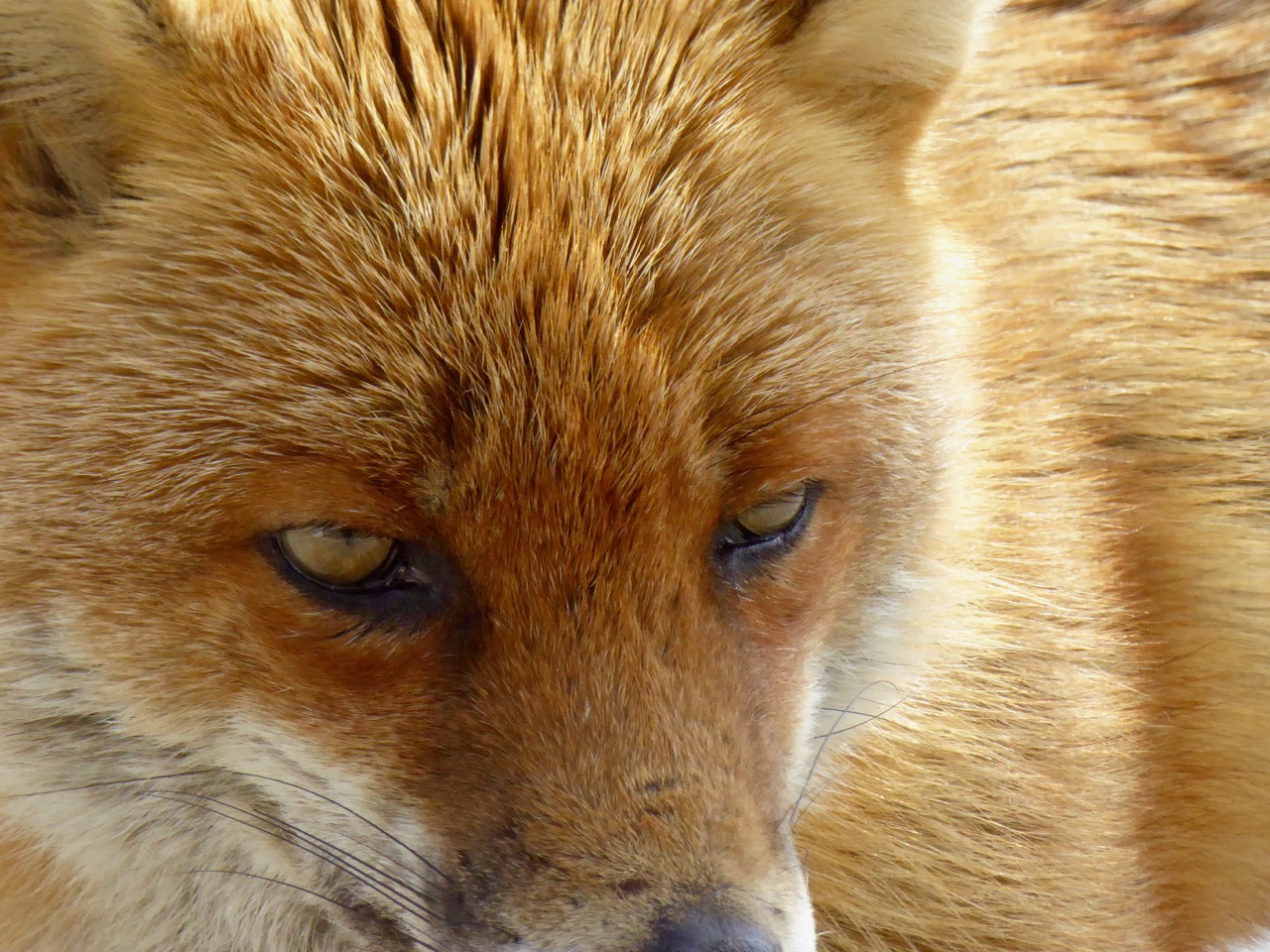
We will never forget our good friend Ferdia, who arrived on our doorstep on the day we moved into Nead an Iolair, and was a regular visitor (usually daily) over several years. Sadly, foxes don’t live for long in the wild, and he has now passed away. He was a very fine dog-fox and was undoubtedly the head of a large family. We hoped that one of his offspring might have taken his place on our terrace, but I suppose he just could never be replaced.

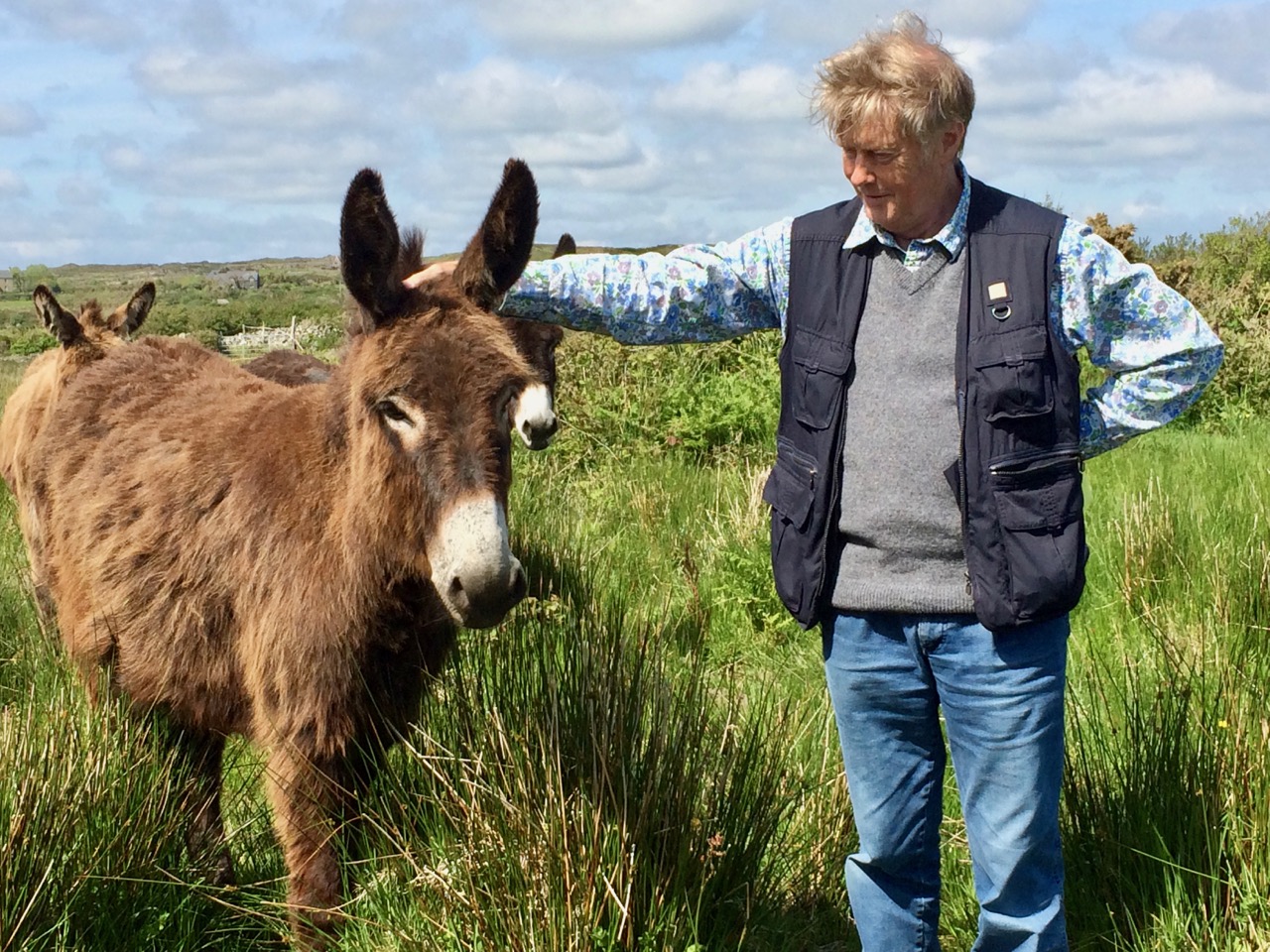
Of course, the pasture and coastline that surrounds us has fine creatures of the domesticated variety, too! (left and right below).

I have family roots in Cornwall and, during my time living here, I have become aware of many links between that westernmost peninsula of Britain and West Cork. In fact, those links go back into prehistory: in the Bronze Age – three and a half thousand years ago – copper was mined on the slopes of Mount Gabriel – a stone’s throw from where we live – and was mixed with tin from Cornwall to make the all-important ‘supermetal’ of Bronze. Another link which I was so pleased to find was that Cornwall’s Patron Saint – St Piran – was actually born and brought up on Cape Clear – the island we look out to across Roaringwater Bay. Read all about it here.

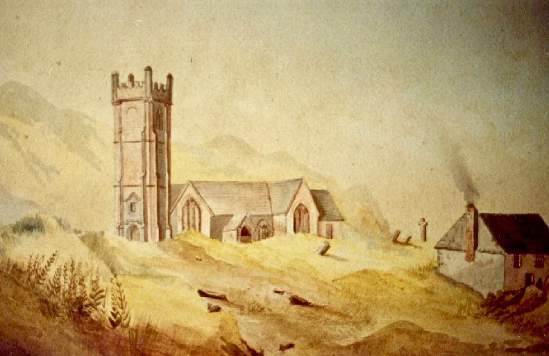
The little church at Perranzabuloe in Cornwall (now inundated by sand) marks the spot where St Ciarán from Cape Clear landed to start his mission. Because of a difference in the Irish and Cornish languages, he became known as St Piran over there. He lived to the age of 208!

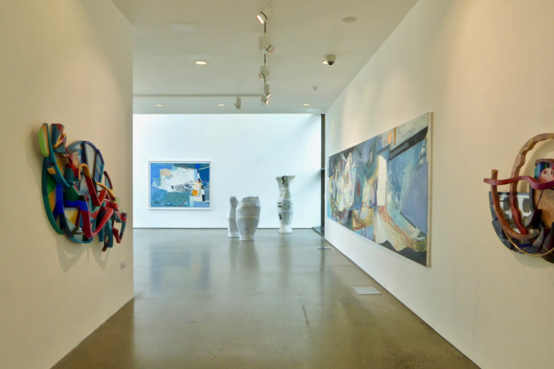
Stirring up those links led to my life being taken over in the summer of this year by organising (together with Ann Davoren and the team at the West Cork Arts Centre) an exhibition of the work of three contemporary Cornish artists which was held in Uillinn, Skibbereen’s amazing new gallery. The exhibition ran with the title of West meets West and heralds future collaborations and visits to Cornwall by West Cork artists. This link opens the series of posts that report on all this.

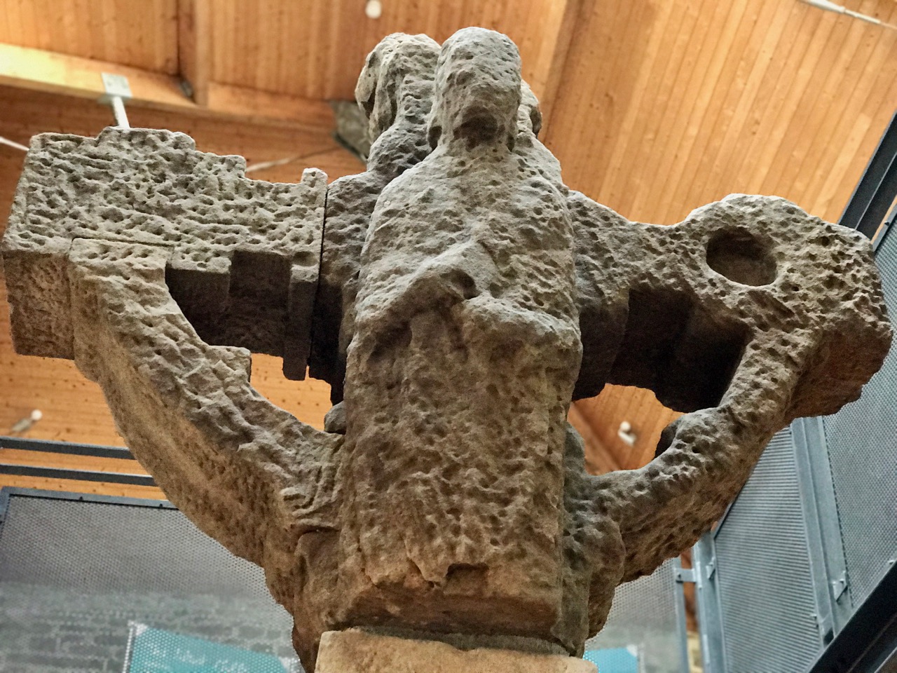
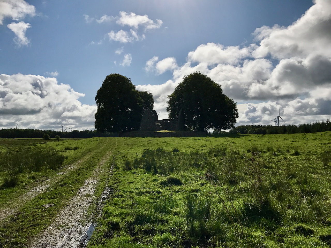
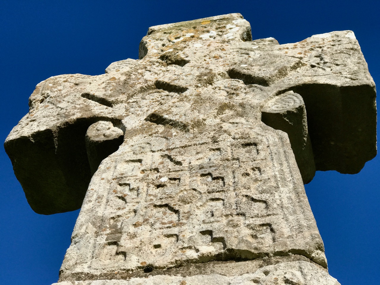
My time here in West Cork – and in Ireland – has heightened my interest in all things medieval, particularly architecture. Finola has written a highly researched and detailed series on the Irish Romanesque style, and our travels to carry out this research have been enjoyable and instructive. I have taken a liking to High Crosses, most of them probably over a thousand years old. They are always found in the context of fascinating early ecclesiastical sites. If you want to know more, have a look at the posts: so far we have explored Moone (above), Durrow (below), Monasterboice, and Castledermot. There are many more to add to this list – and to keep us busy over the next few years.

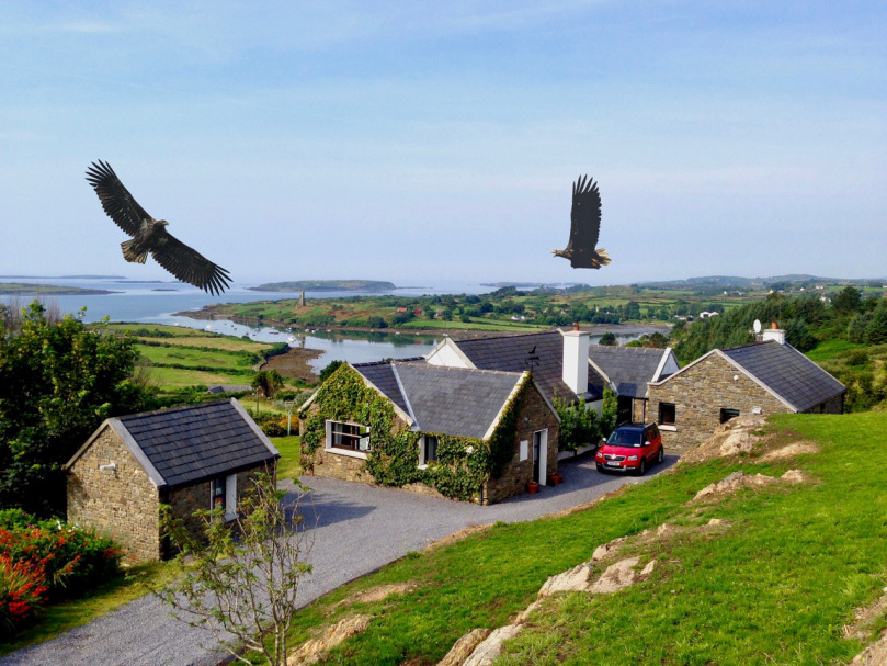
That’s quite enough for one post! It would be possible to write several on how we have been inspired by our explorations in search of material. Somehow, though, our hearts always come back to our very own piece of Irish soil: Nead an Iolair (Nest of the Eagles). Here it is, and here are the eagles flying over it! You’ll find more about them here.