Mine Ghost

My name is Thomas – William Thomas. When I’m at the mines they call me Captain Thomas – because I’m in charge! I’m visiting some of my old ‘haunts’, and thought you might join me, to see what a working day was like in ‘ . . . one of the wildest districts in the United Kingdom . . . ‘ – Gortavallig, on Rinn Mhuintir Bháire. I know you call this place The Sheep’s Head now: that amuses me. I’m always trying to pick up on the Irish words – it’s such a poetic language. My grandfather was a natural Cornish speaker, but the language was gone by the time I was born – it’s only used by the Bards nowadays.
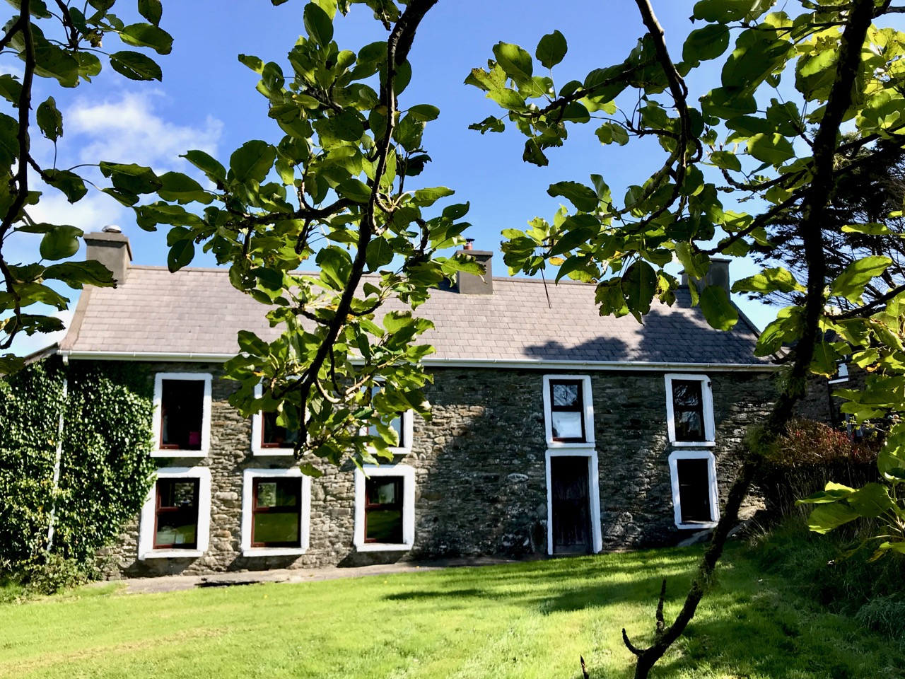
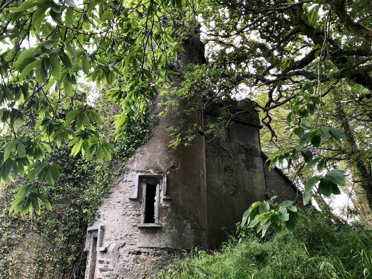
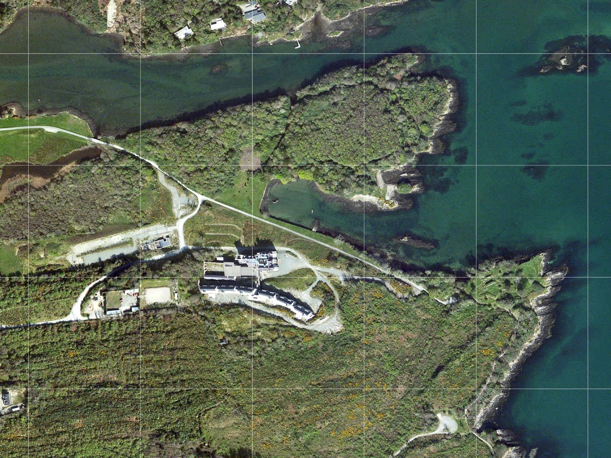
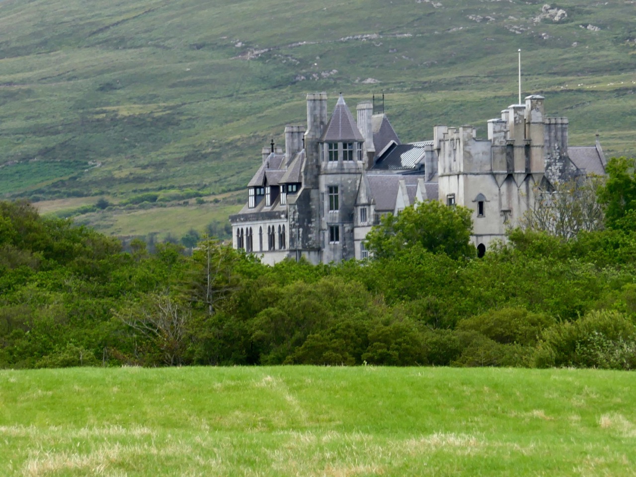
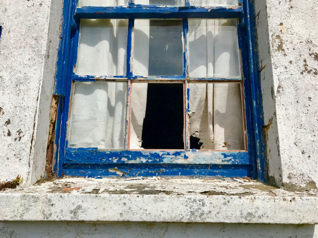
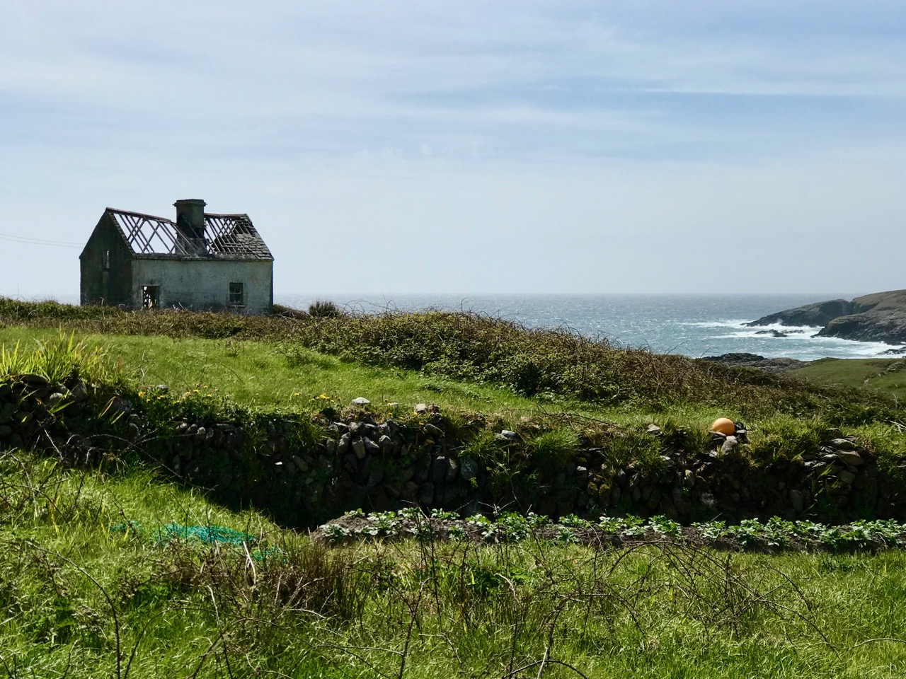
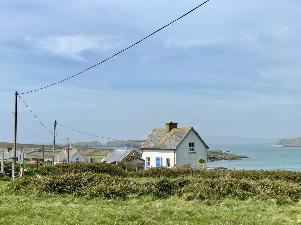
That’s my house – above – in the townland of Letter East. That’s where I stayed with my family when I was Captain at Gortavallig. It was rough going when I had to get to the mine – a solid hour’s trek across rough country, and the same back again. As part of the work that we did while developing this mine we built a good ten miles of road, which helped with communications in that untamed north-coast country.

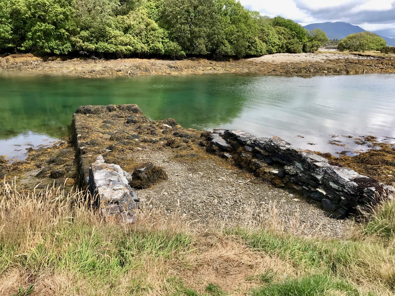
Come with me now on the way that leads down, firstly, to the cove at Bunown in Eskraha townland: there’s a slipway there, and a house where my assistant Superintendent, Mister Bennett, lodges. It was once a coast-guard station. This cove has also been the scene of some tragedies in your own time. There was the writer, James Farrell, who drowned while fishing off the rocks there in 1979. He’s buried beyond by the church of St James in Durrus, looking out forever over Dunmanus Bay. The sea is a dangerous element: I know, because I’ve had to work with it. But it’s your friend, as well as your foe. If it wasn’t for the sea we would have no chance of transporting ore from the remoteness of Gortavallig.
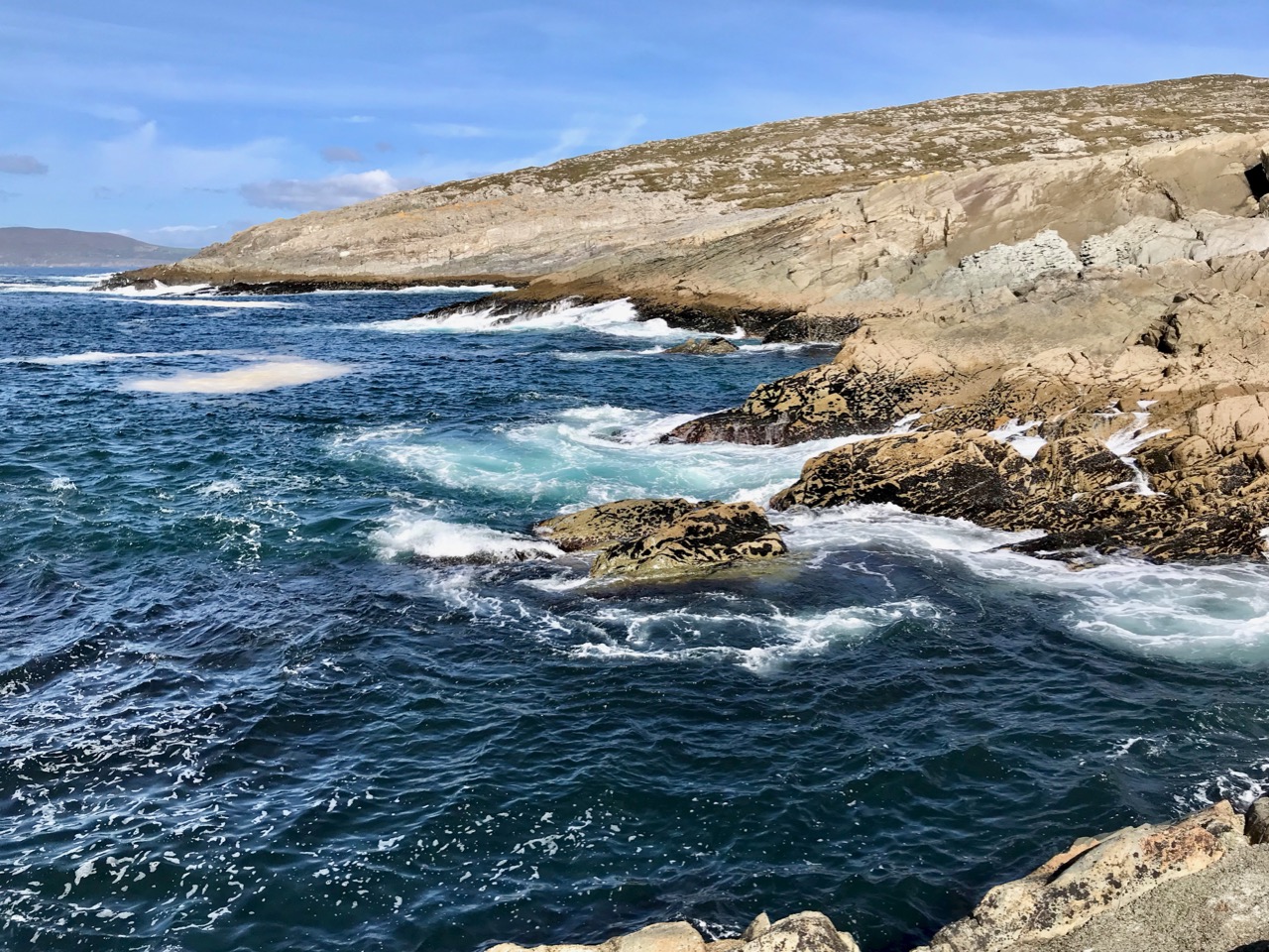
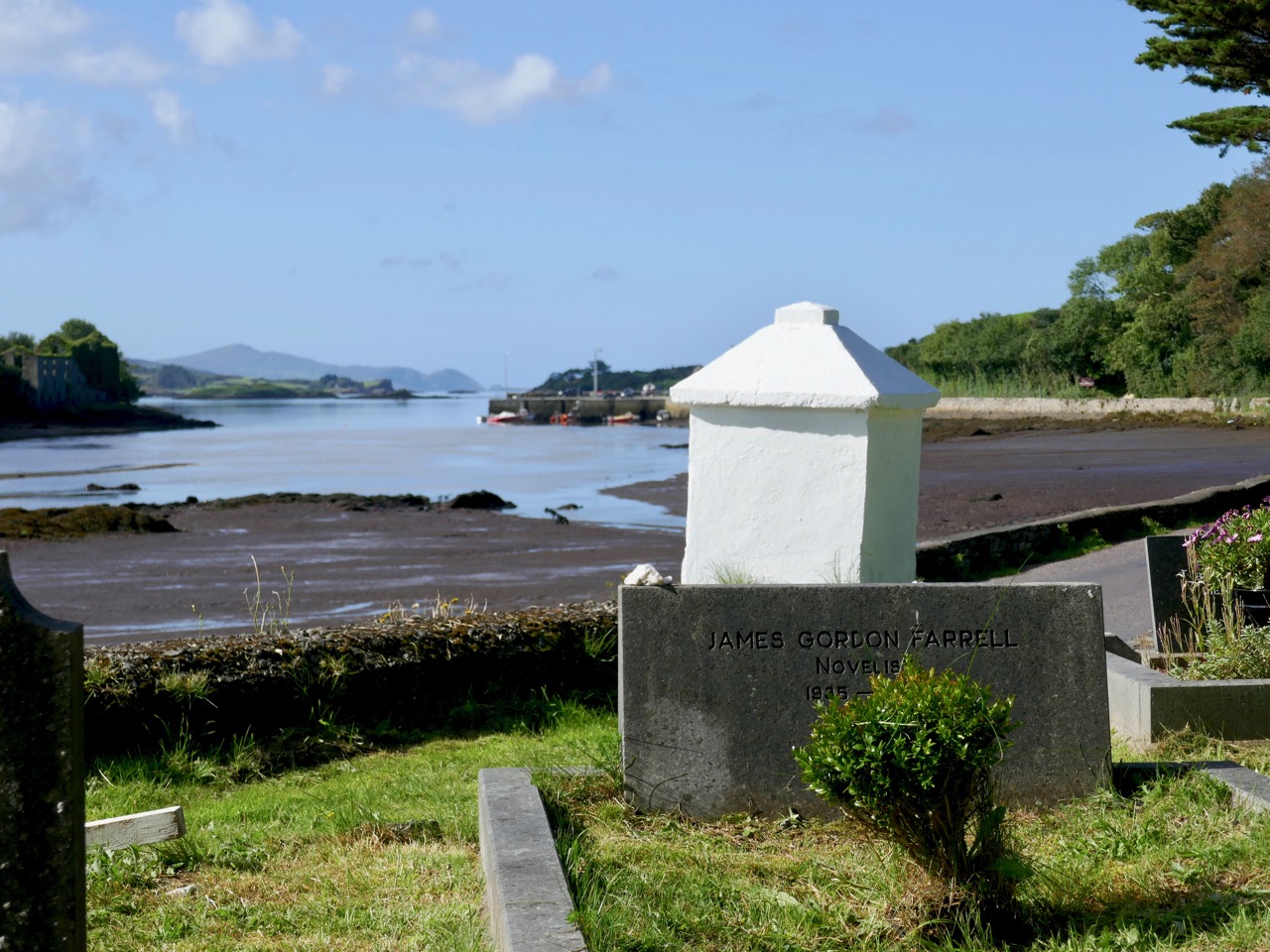
The rocks at Bunown – on a good day! James Gordon Farrell is buried facing the water of Dunmanus Bay at St James’, Durrus

They say that, wherever you are in the world, if there’s a mine – or even a hole in the ground – you’ll find a Cornishman at the bottom of it! That’s because pulling the metal out of the ground – and from the cliffs – and even from under the sea – was our lifeblood in that far western peninsula. But the land was ravaged. This scene (below) is where I grew up and learned my trade: Dolcoath, near Camborne in Cornwall, in its heyday one of the busiest mining areas in the world. My father James was agent there and I enjoyed ‘ . . . a liberal education and had the very great advantage of being taught dialling and the whole routine of the profession by the most eminent miners of the day and worked for several years as a tributer – an admirable practical school . . . ‘

I was pleased to get away from the noise, the grime and the stench of that place when I was called to Ireland with my own family in 1845, firstly to Coosheen on the Mizen – where I revived an ailing venture by successfully rediscovering the copper-bearing lode. After that I came here to the Sheep’s Head where the surveyors, travelling on board small inshore vessels, could see promising ore-bearing strata on the cliff-faces which were being eroded on this coastline. My job was to work those veins – a gargantuan one bearing in mind the uncompromising nature of the landscape and the remoteness of the geography.

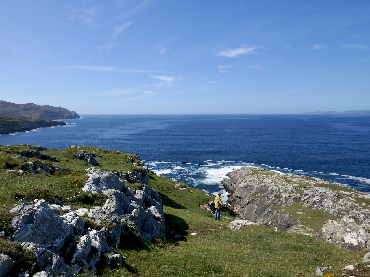
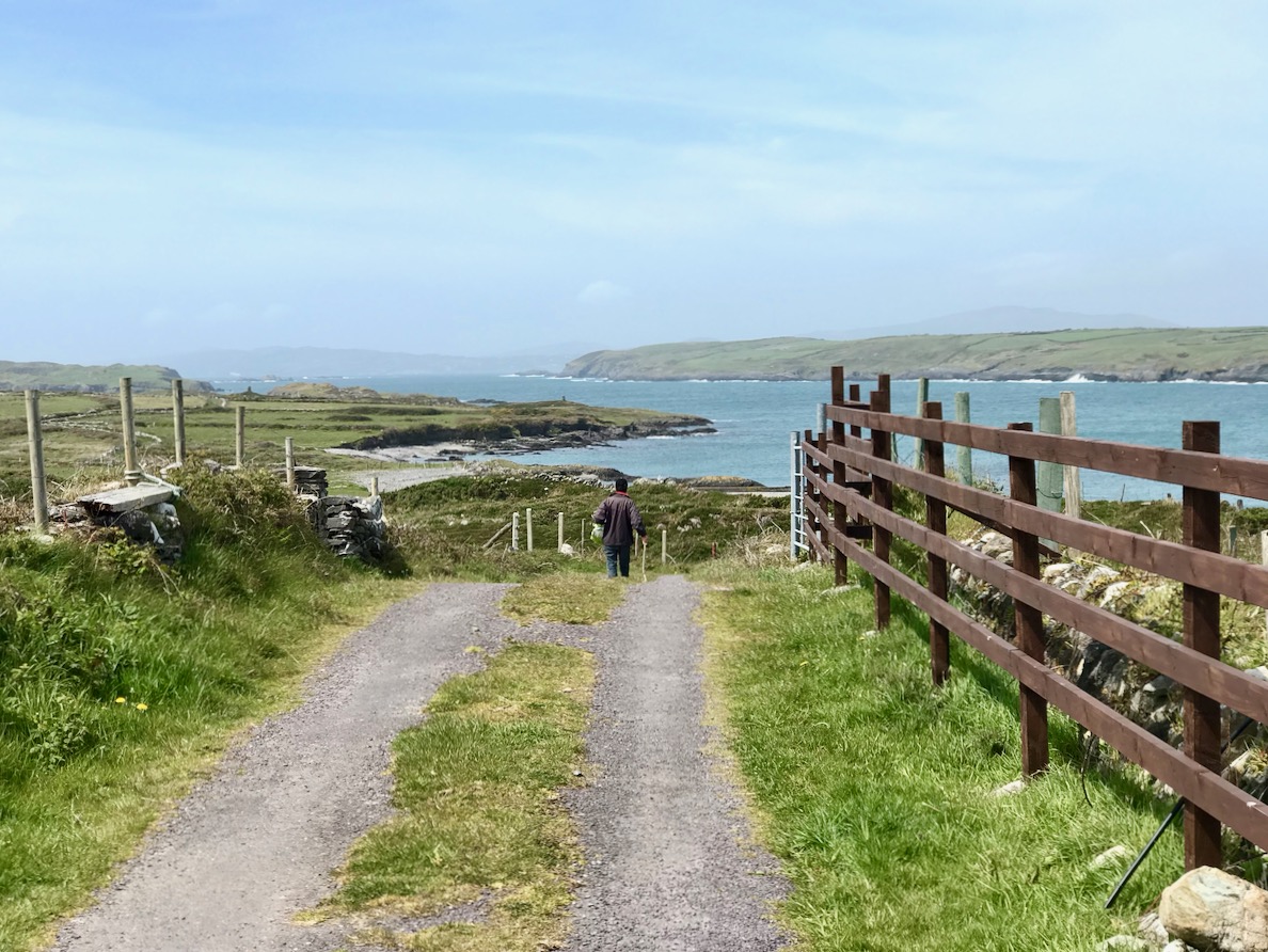
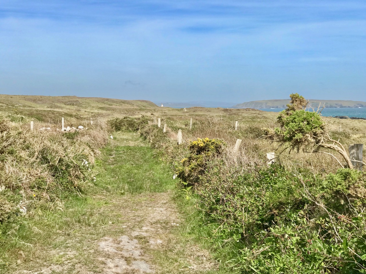
Looking back across silver waters as we walk together on the rough pathway to Gortavallig: nature has been tamed by the fields that go down to the coast west of Bunown, whereas the way to the east is across rough, wild country

If you follow this path with me you will have to have good shoes and a steady gait, and the will to clamber upwards and downwards on sometimes steep and rough rock faces. But you will be rewarded by the remarkable vistas and the untamed surroundings. Your only companions will be the choughs: these sleek red-billed birds are a comfort to me as they have always been a symbol of Cornwall, sharing pride of place on that county’s coat-of-arms, together with an image of the Cornish miner! Did you know that the chough is the embodiment of old King Arthur, who is ready to rise again and save our nations in times of trouble?
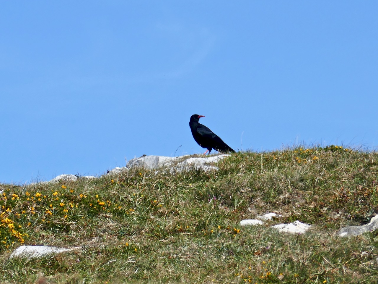
A chough espied on our walk to Gortavallig, and the Coat-of-Arms of Cornwall which is shared between bird, fisherman and miner

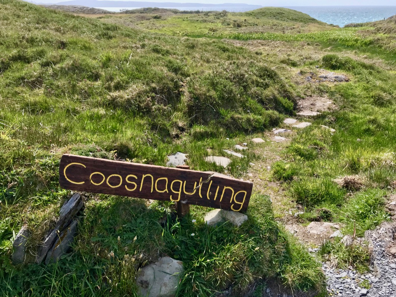
After a vigorous hour’s trekking over the rough terrain we will catch our first glimpse of the mining works at Gortavallig: a row of small stone cottages perched on the cliff-top. This is known today as the Cornish Village, although it wasn’t just Cornish mine-workers who lived here. Good, strong Irishmen came to the place and earned their keep, and everyone here had to pay rent for the single-roomed lodgings. If there had been windows on the seaward side of these dwellings they would have enjoyed magnificent views, but we were more concerned at keeping out the extremes of the weather, and the few small windows only faced inland. There was plenty of ocean to be seen while you were working your hearts out to extract the minerals!

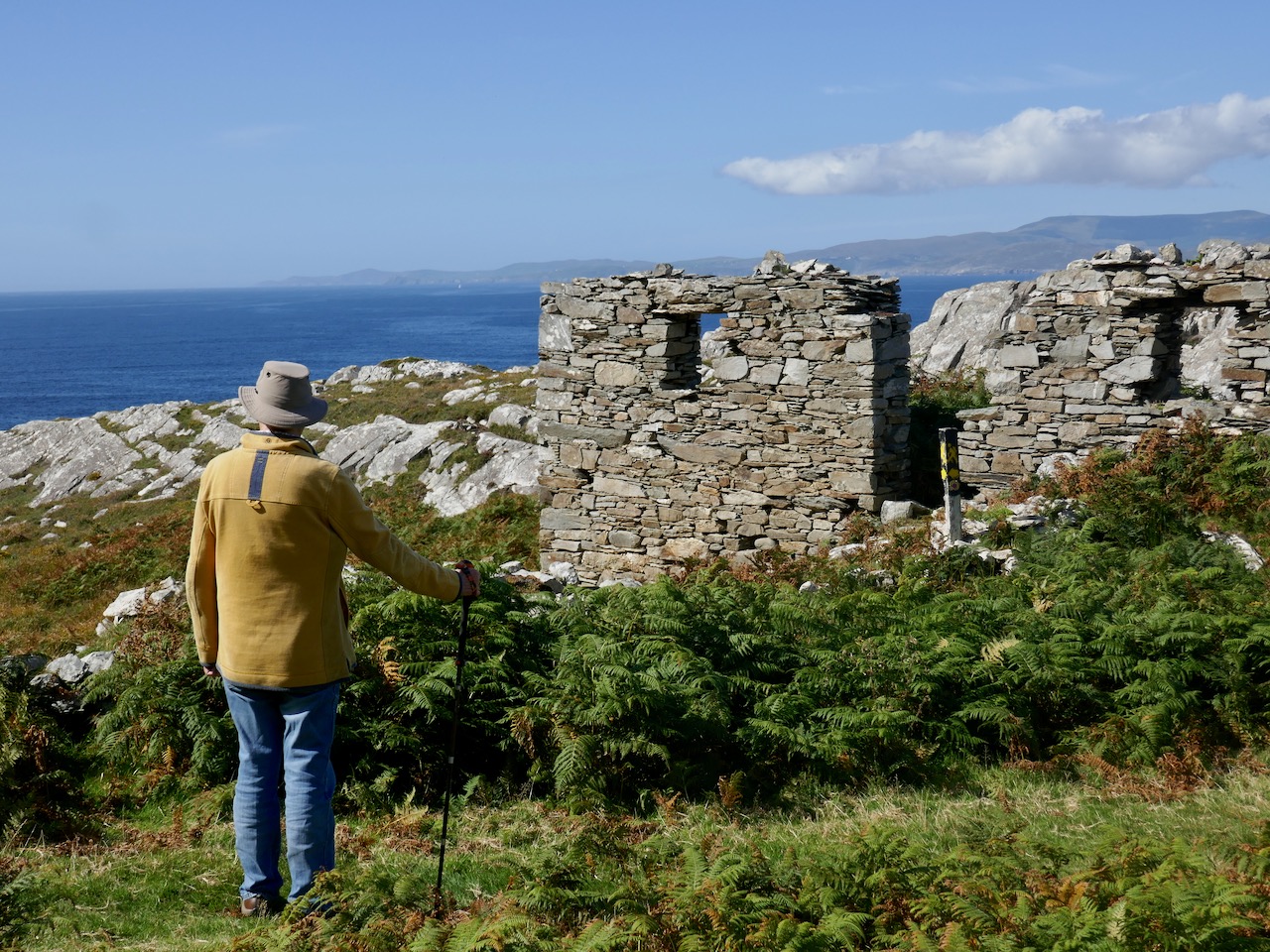
‘Cornish’ cottages close by the mine workings at Gortavallig

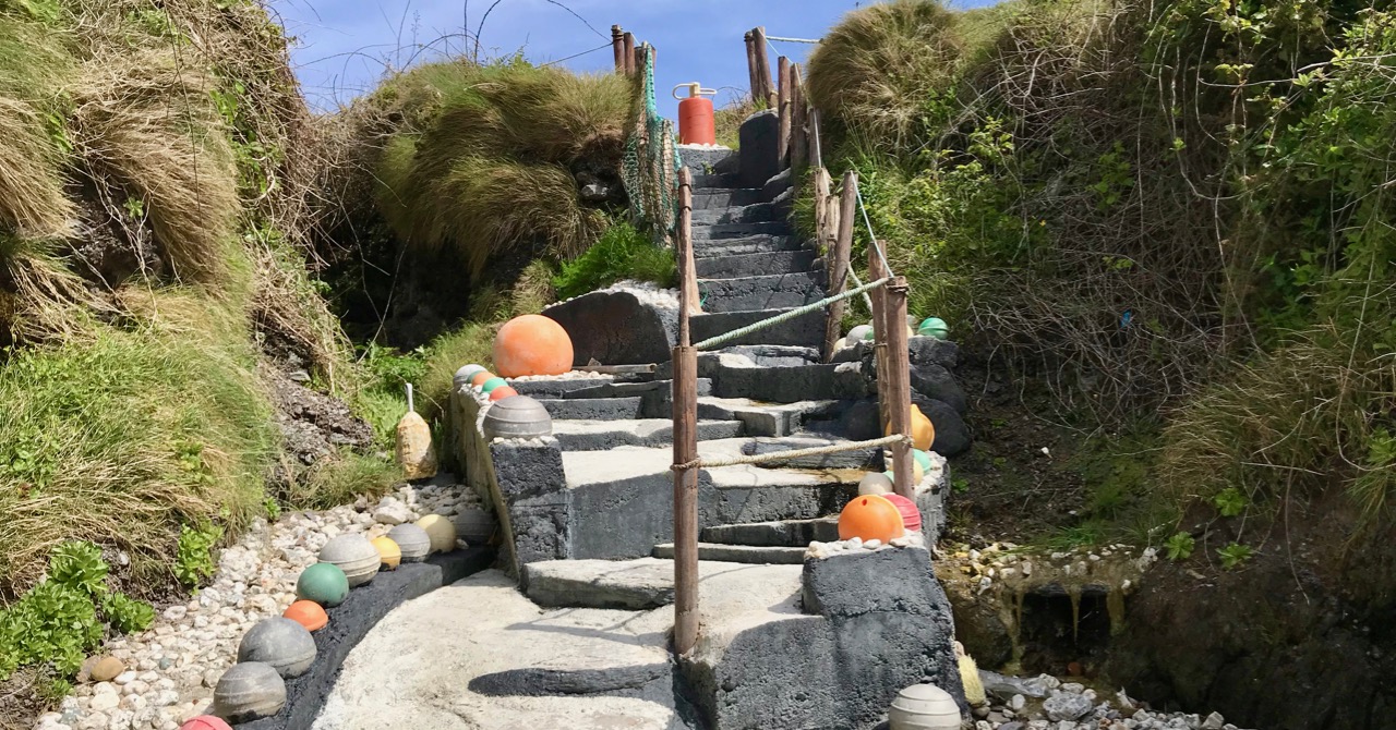
Once we have passed by the cottages we find ourselves traversing a sheer cliff edge. Below us the sea roars, but it’s down there that we built two quays, one 73 feet long and 40 feet high, the other 92 feet long and 36 feet high and, at the base of the cliff, a dressing floor 180 feet long and 50 feet wide, while above it we put in a stone dam and sluice so that we could wash the ore. Water was such an important element to us: in Cornwall we used its power to turn wheels and drive machinery such as crushers. We were never short of it here in Ireland.
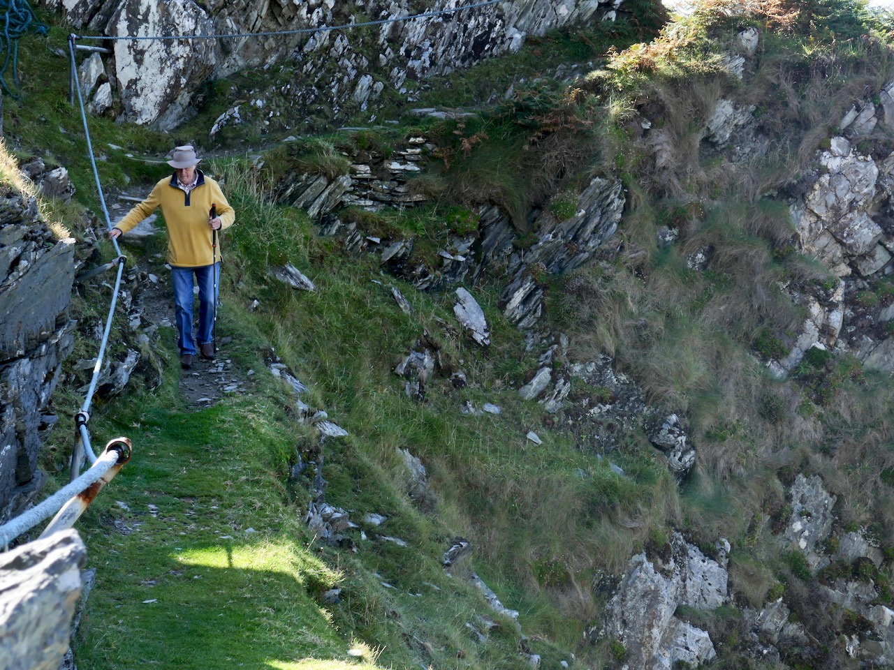
Hold on to that rope or you might go over the edge!

Now, of course, on an idyllic day of blue sky and sunshine, you couldn’t find a place more picturesque, peaceful and redolent of nature’s beauty, but imagine what it was like in my time when men, women (we called them Bal Maidens in Cornwall) and children laboured long hours to bring out the precious ore and break, dress and prepare it for market: there was always the movement of ropes and machinery as trucks were pushed out of the mine-galleries on the rail-way, and figures constantly toiled up and down the precipitous rough stepways to and from the quays so far below. Although built in as sheltered a position as possible, they were constantly battered by heavy swells and breakers. In fact, they have now disappeared altogether.

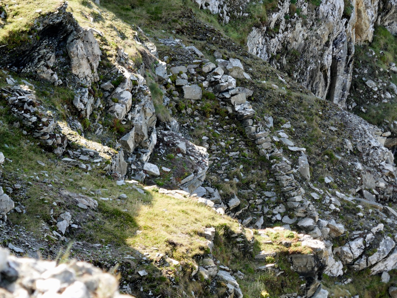
Finola braves the cliff edge to get a view of the site of the old quays below, accessed by the rough and steep stone lined path

If we go up to the hillside above the mine workings we can look out over the reservoir, and we can also see the fenced-off openings of shafts. Most of the engineering took place, of course, underground: hard work in restricted spaces. We did our best to ensure safety, but there were accidents.
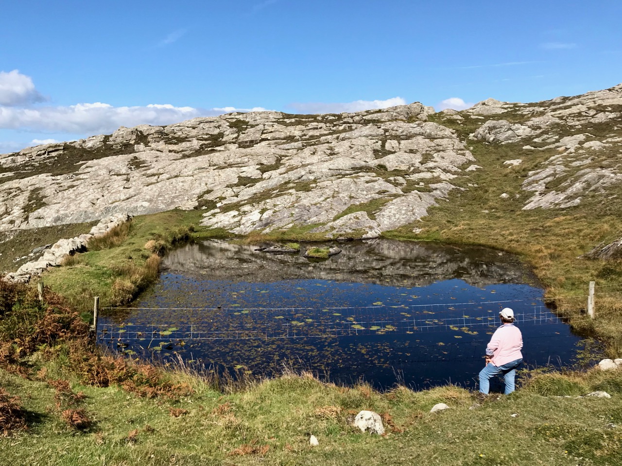
A lot of people have said that our mine was a ‘failure’, but I wouldn’t necessarily share that view. In May 1847 I presented my first report to the directors of the company:

. . . We have set bounds to the Atlantic waves, for though they lash and foam sometimes over craggy rocks, our works have withstood the furious storms of two severe winters. A complete wilderness and barren cliff, which had been for past ages the undisturbed resort of the Eagle, the Hawk and Wild Sea Bird, has by our labours for the past 16 months been changed into a valley of native industry, giving employment, food, and comfort, to numbers of the hitherto starving, but peacable inhabitants. We have in the course of 16 months, with an average number of 24 miners, whose earnings ranged from 9 shillings to 12 shillings a week, explored 174 fathoms of ground. We have also employed about 26 surface men, at the rate of 10 pence and one shilling a day . . .

In May 1848 the SS William and Thomas collected 88 tons of copper ore from the quay of our mine at Gortavallig. It sold for £269 14s in Swansea. Yes – it was the only shipment that the mine ever exported, but it gave employment and food to families in one of the remotest areas of the West of Ireland during the ‘Great Hunger’. In my time at Rinn Mhuintir Bháire I was able to set up – at my own cost – the Coosheen Fishery Association over on the Mizen, which also helped with food production through those bad years. With my brothers Charles and Henry, and my son John, we helped to bring industry to the remote fastnesses of West Cork and Kerry – including the mine at Dhurode, on the Mizen. I feel satisfaction that our lives have benefited our neighbours here in these far western peninsulas which bear such a similarity to our own native Cornwall . . .  Now you will want to return to civilisation: thank you for your company and mind your step – I think I’ll rest a while here pondering on old times with my pipe and tobacco.
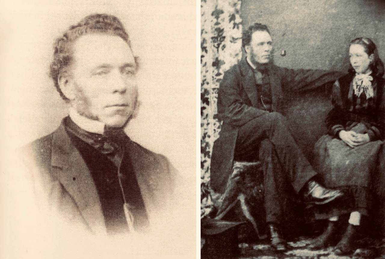
Captain William Thomas possibly in 1843 (left) and right, with one of his daughters in 1852. The latter photograph was taken by Hastings Moore in Ballydehob

From the Skibbereen Eagle, 7 June 1890:

Died, May 22nd at Coosheen, Schull, William Thomas, of Bolleevede, Camborne, Cornwall, aged 82 years, manager of mines in Cork and Kerry for nearly 50 years. He truly believed in Irish men and Irish mines. He wrote and spoke on their behalf to the utmost of his ability . . .

Keeping Time in Youghal

I had time to pass in East Cork on Saturday, so I went off to Youghal (pronounce it ‘yawl’), a substantial town with a great deal of history. I had a purpose in mind: to check out a recently opened museum, dedicated to the way that the time of day was chronicled here over a number of centuries.

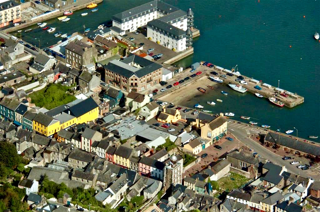
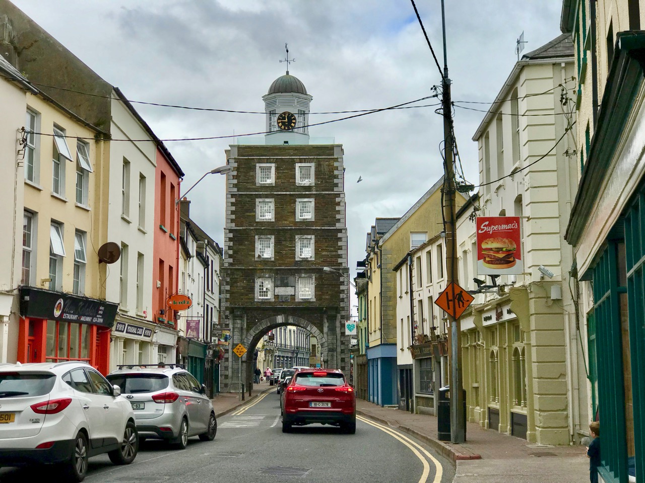
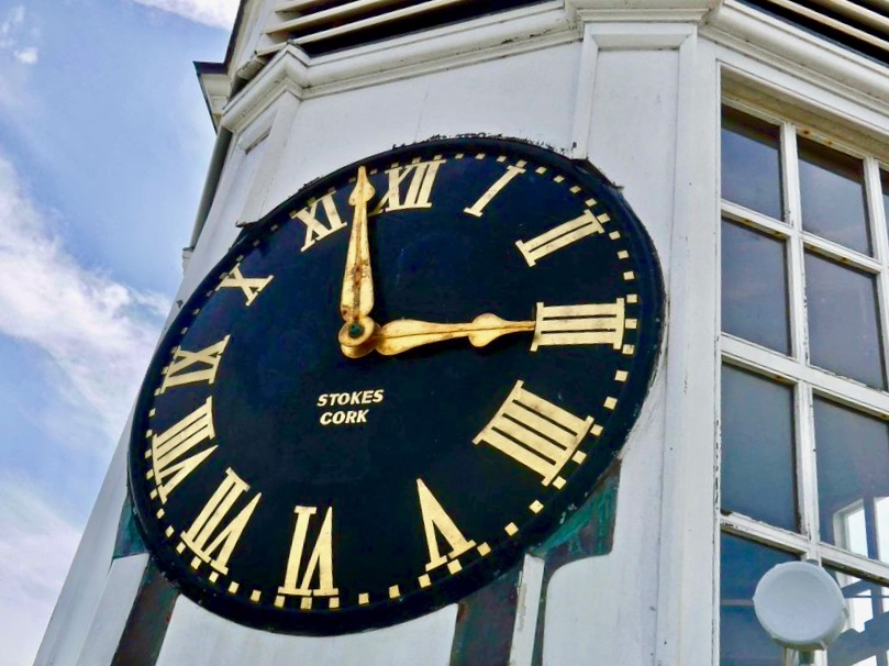
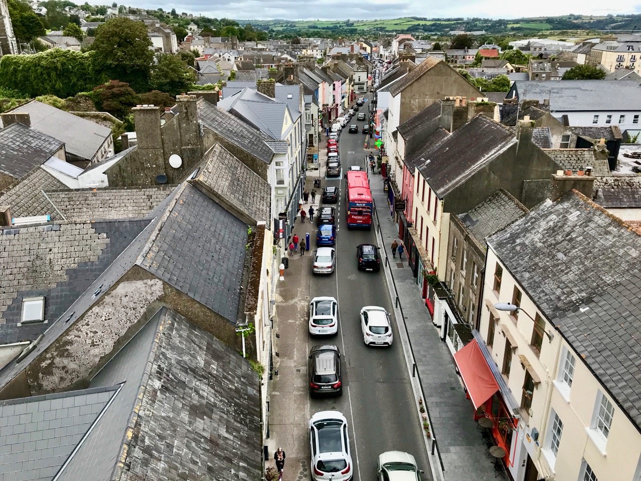
The museum is housed in an iconic building that has spanned the main street of the town for 250 years: the Clock Gate Tower. That’s it bottom centre in the aerial view below, and underneath that is the more usual view of it, from the road. It’s the most visible building in Youghal town, and you can see one of its three clock faces (which all show exactly the same time) in this photograph.

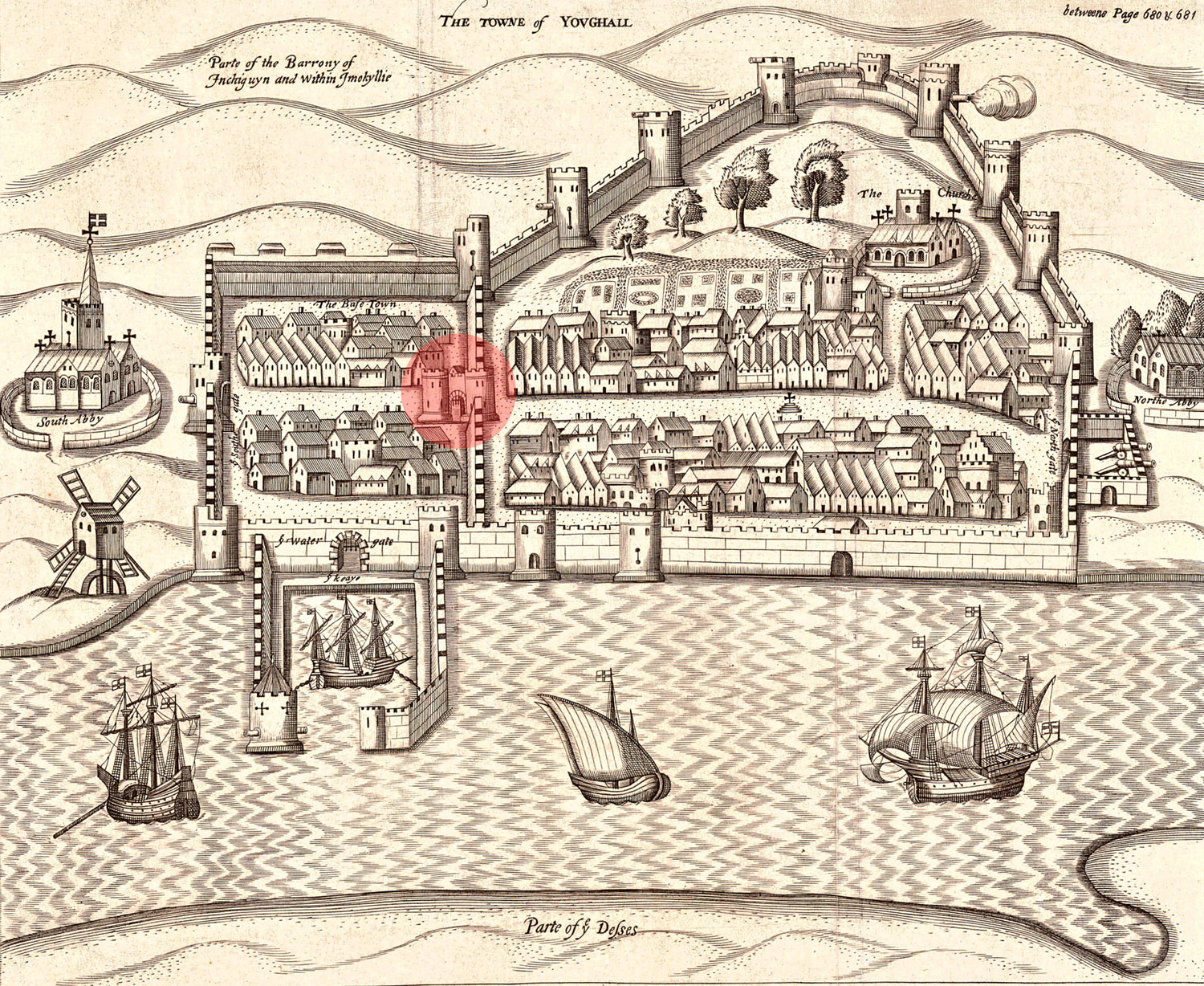
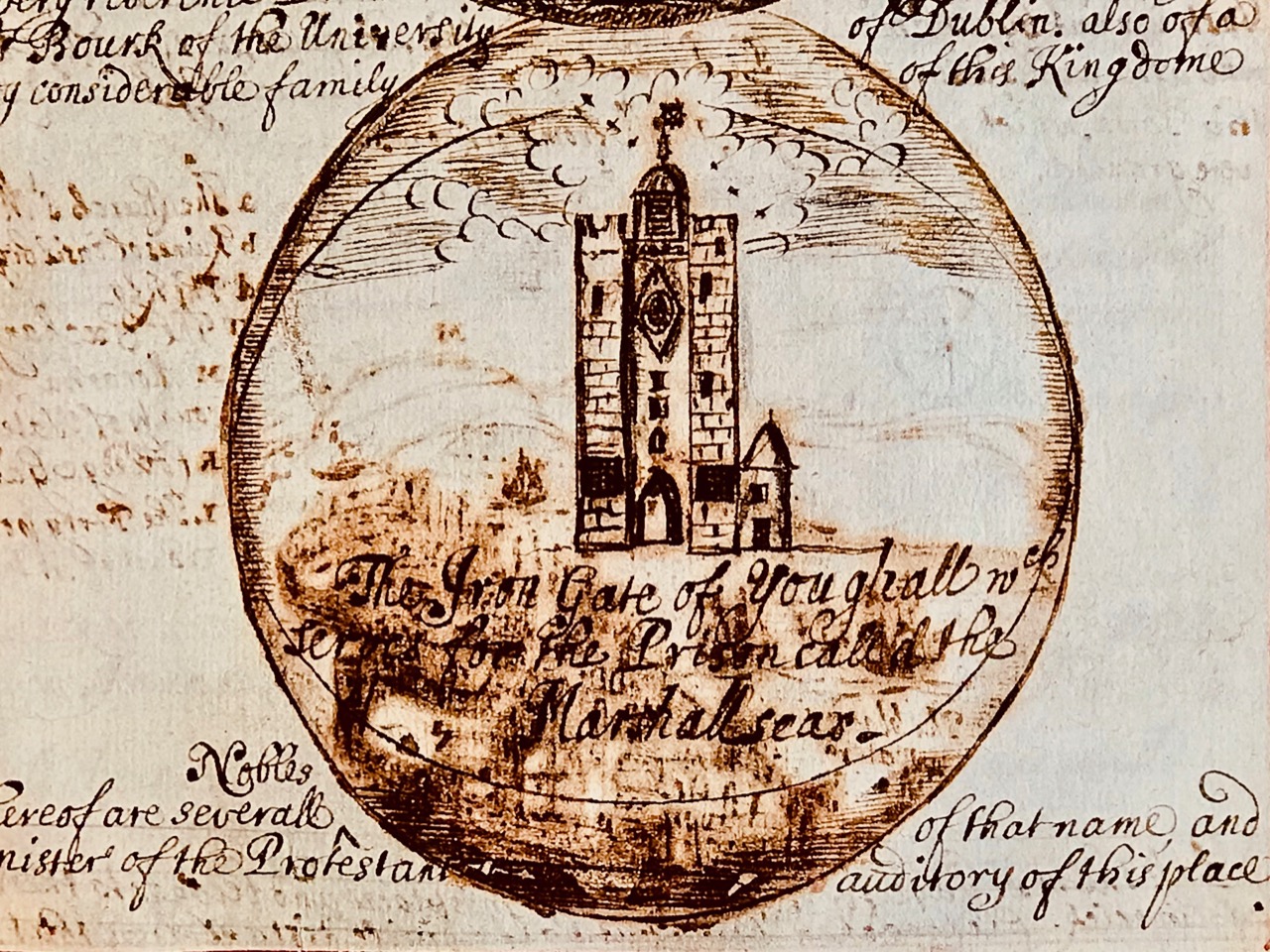
In medieval times Youghal was a walled town, and the site of the Clock Gate Tower was one of the defended entrance points at the south end of the enclosed settlement; Finola has written about the walls here. Masonry walls were fine in the days of bows and arrows but became obsolete when heavy artillery took over: by the late 1700s the town had expanded beyond the walls and the southern gate was redundant: before the Clock Gate Tower was completed in 1777 a medieval gateway known as the Iron Gate stood on the site.

Upper – a map from the Pacata Hibernia showing Youghal – first published in 1633: we are looking at the town from the east. The Iron gate is highlighted: even then the town had expanded beyond the original walls. Lower – the Iron Gate in 1681: by that time the original defensive towers had been embellished with a clock and bell tower

It was perhaps whimsical – in the 18th century – to replace the earlier gate with a building which could be seen as a pastiche of what was there before, but it has certainly succeeded in creating a distinctive landmark which has lasted to the present day, and continues to fulfil the function of a clock and bell tower central to the town.

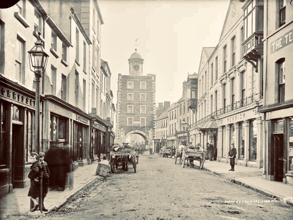
This early photograph of Youghal’s main street with the Clock Tower probably dates from around 1900

I took the Clock Gate Tower Tour and can assure you that a great time was had by all who were on it. Before you go, however, make sure you are able for climbing the six flights of steps from street level to the very top: there were no lifts in the 1770s, and no way that any mechanical assistance could now be fitted into the restricted spaces in the building. However, the staircases are safe and easy, and there is plenty of time to pause on each floor to see the fascinating displays that have been installed. I’m not going to reveal everything that the tour includes, or you might think you don’t need to take part! Just a few tasters will suffice.

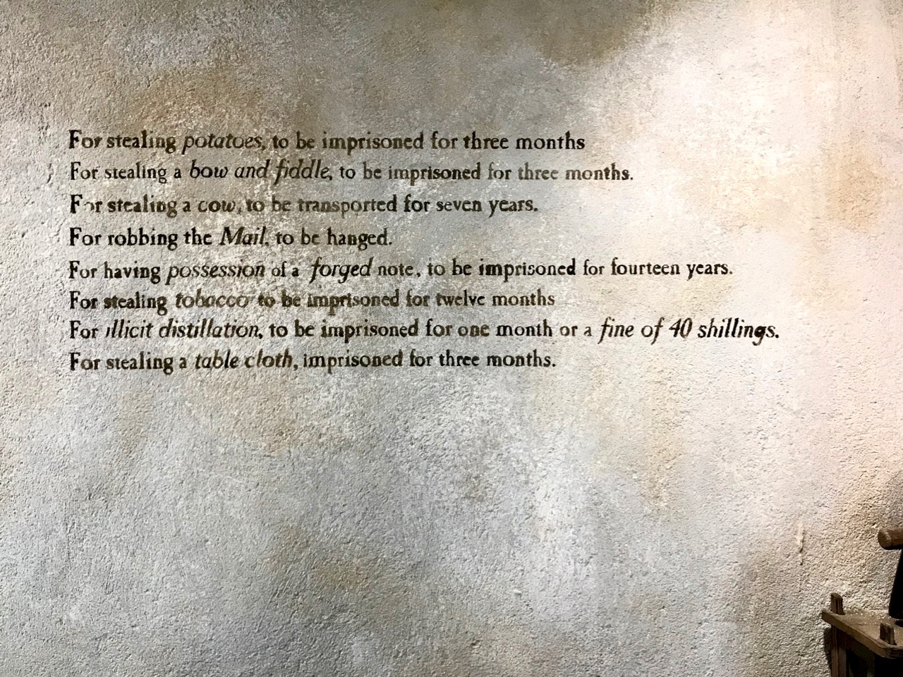
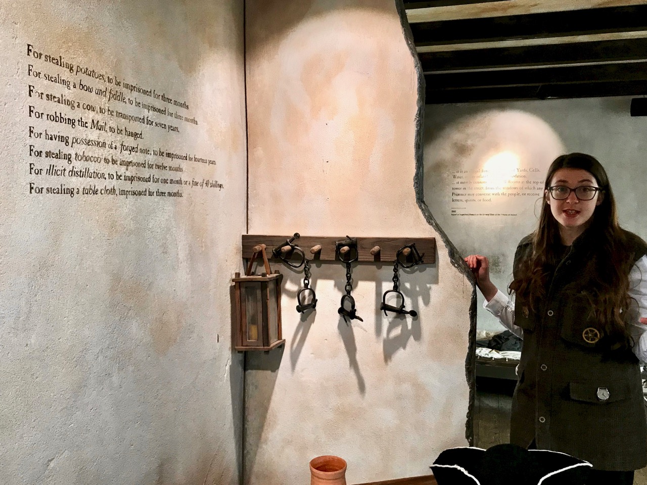
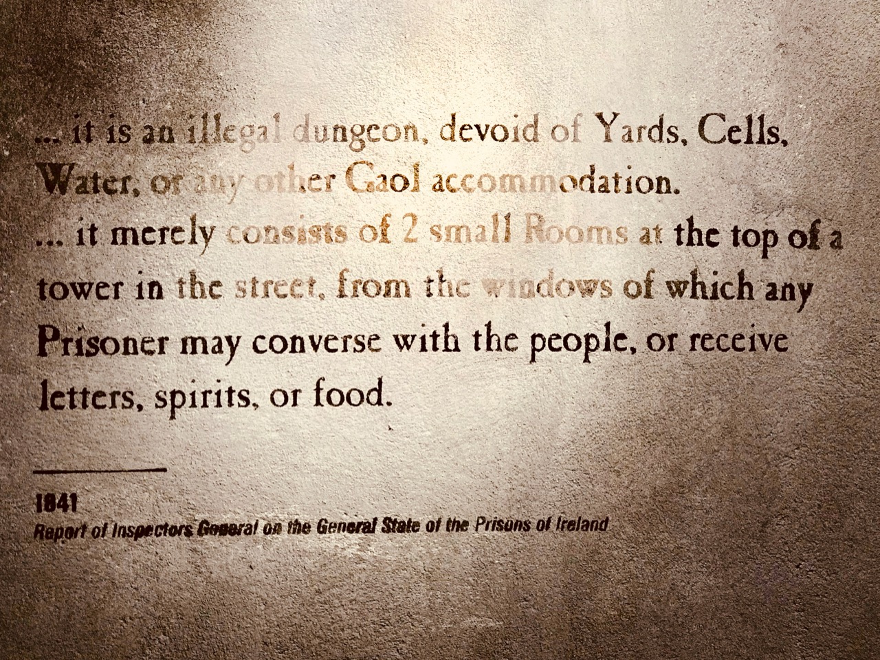
I will disclose that you will get a feeling for what prison life was like two or three hundred years ago, as this was then one of the main functions of the tower, and one of the floors has been set out as a cell. Our enthusiastic ‘storyteller’ guide, Katy (above) pointed out that the restricted space could have held a large number of inmates, unsegregated and crowded together with no sanitation (other than a window). Prisoners had to pay for their own food, which was hauled up through the same window from friends outside. Even in 1841 the conditions that prevailed here were considered appalling – and Youghal was specifically mentioned in the Report of Inspectors General on the General State of the Prisons of Ireland of that year:

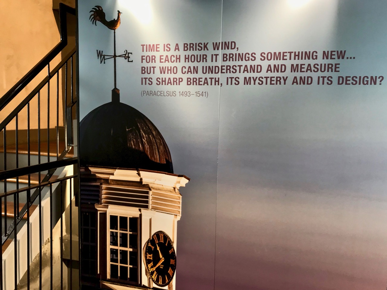
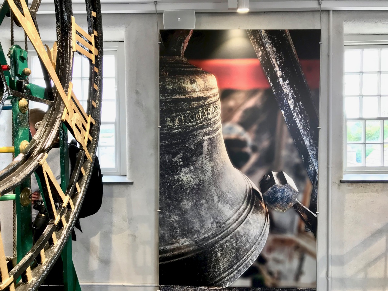
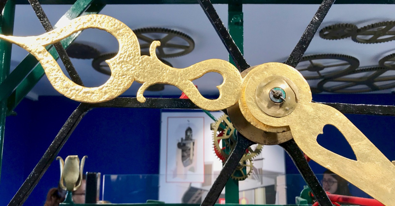
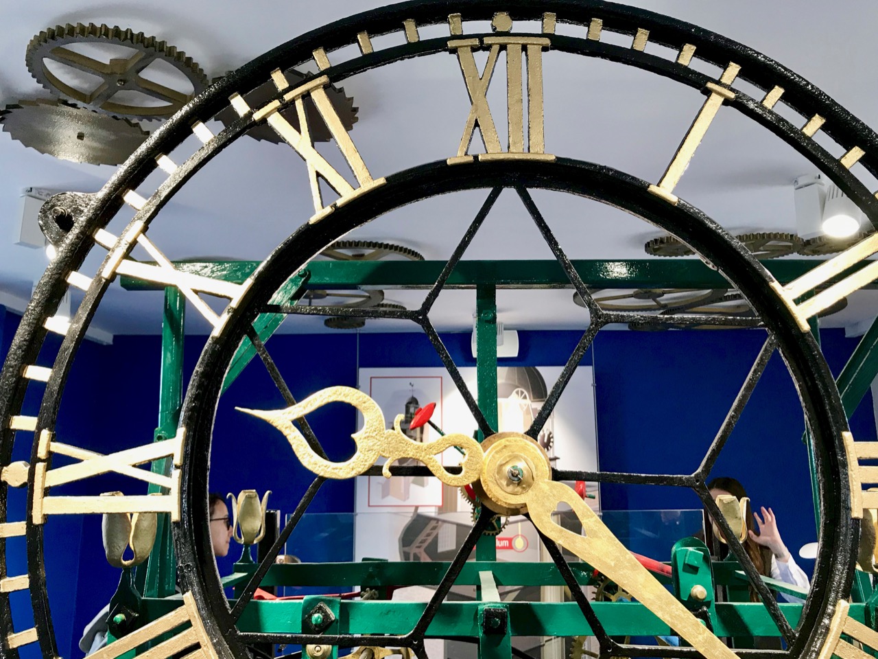
My favourite room was one dedicated to the workings of the clock (header picture and above). From the earliest days the Clock Keeper was also responsible for ringing the town bell:

. . . In 1622 Balltazar Portingale was appointed as clock-keeper and was given free quarters in return for ringing the clock at four in the morning from Easter to Michaelmas, and at five in the morning from Michaelmas to Easter, and at nine at night all the year. . .

In more modern times the bell was also employed to summon the fire brigade. Following complaints from some outlying residents of the town that it could not be heard, the original bell was replaced with a larger version, still in use today and connected to the clock mechanism for striking the hours.

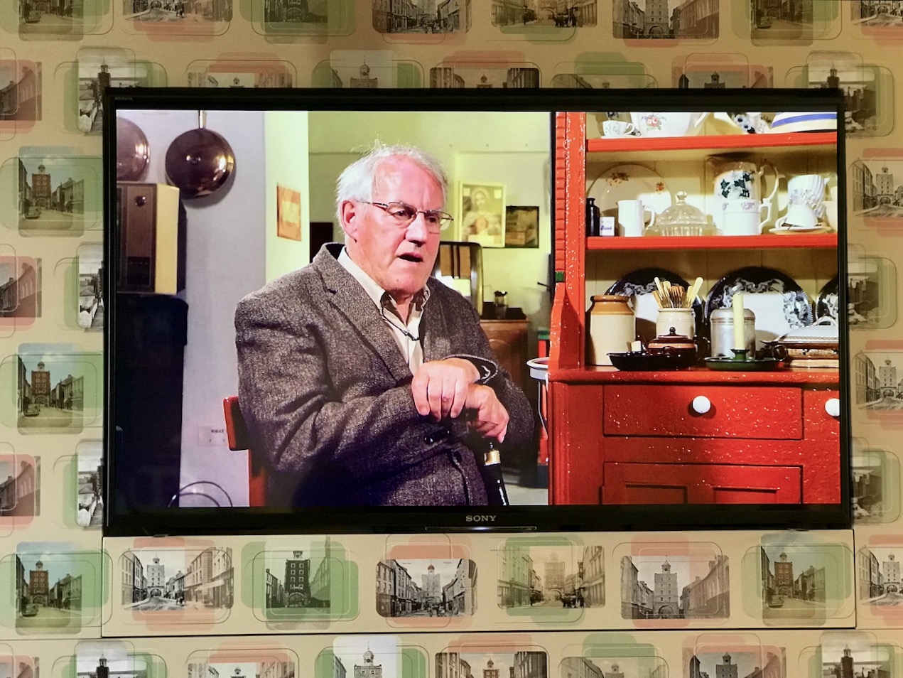
From 1915 to 1955 three generations of the McGrath family lived as tenants in the tower: they had responsibility for winding its clock and announcing a death by ringing the town bell. John McGrath, now 80, was born in the Clock Gate and has great memories of his childhood there: he provided a lot of the information to help fit out the fourth floor of the museum as a 1950s interior, and he can be heard talking about his youthful experiences on one of the audio-visual screens:

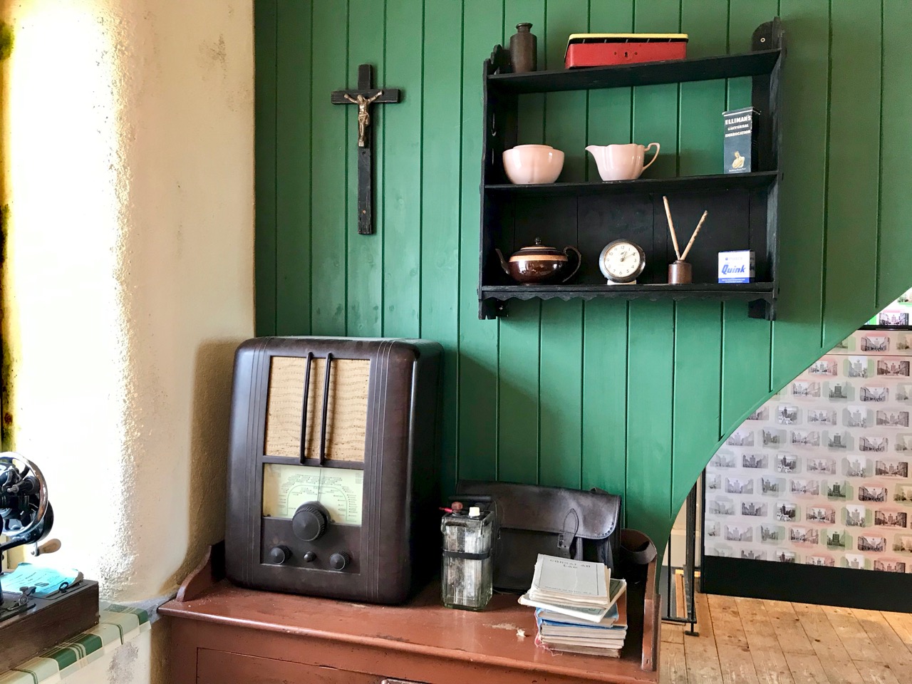
As someone who also grew up in the 1950s (but not in a clock tower!) I can confirm the authenticity of some of the exhibits in the highest room of the museum

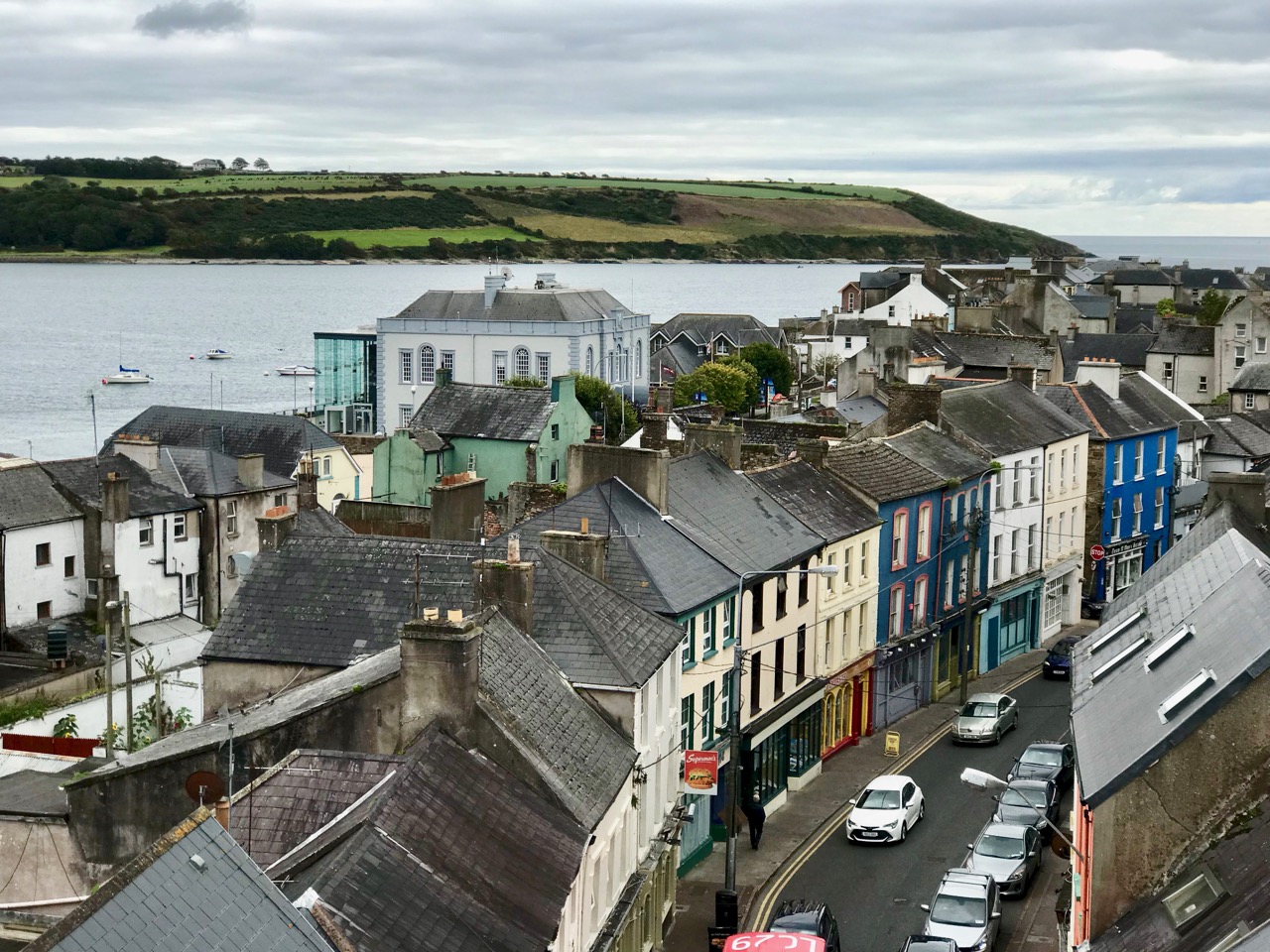
Probably the most exciting part of Youghal’s Clock Gate Tower Tour is the culmination: being allowed to ascend to the viewing platform at the very top. It’s a small area, but safely enclosed with unobtrusive glass balustrades. From it you get a panoramic vista in all directions over the whole town and the sea beyond. And, knowing how much history you are standing above, it’s well worth the modest tour fee. It will be time well spent!

This museum experience is proving justly popular: if you plan a visit check in advance with the Clock Gate website. In the summer tours are run seven days a week – I believe winter opening hours are being assessed; there is a phone number on the website. Have a great time . . .

An Excursion to Dunboy

We have often visited the Beara Peninsula: it’s not too far away and makes a good day’s outing for us. Have a look at some recent posts here and here to get the feel of the geography. Yesterday we had a mission – to discover more about Donal Cam O’Sullivan Beare (1561 – 1618) and his connections with Dunboy Castle, over by Castletown-Bearhaven – often known as Castletownbere or just Castletown – in the far west of County Cork.

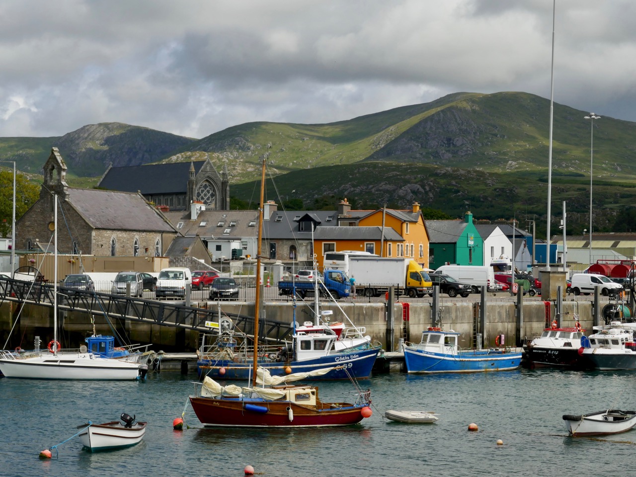
Our first stop was at the bustling harbour of Castletownbere which sits at the foot of the Caha Mountains. …Where land and sea collide, untamed beauty abounds… – that’s the apt heading on the website of the town’s Development Association, and it most certainly seems a lively and flourishing community, a good base from which to explore the wealth of history and archaeology on the Beara. Daphne du Maurier’s novel, Hungry Hill, is set in the area and is a family saga loosely derived from the history of the Irish ancestors of du Maurier’s friend, Christopher Puxley.

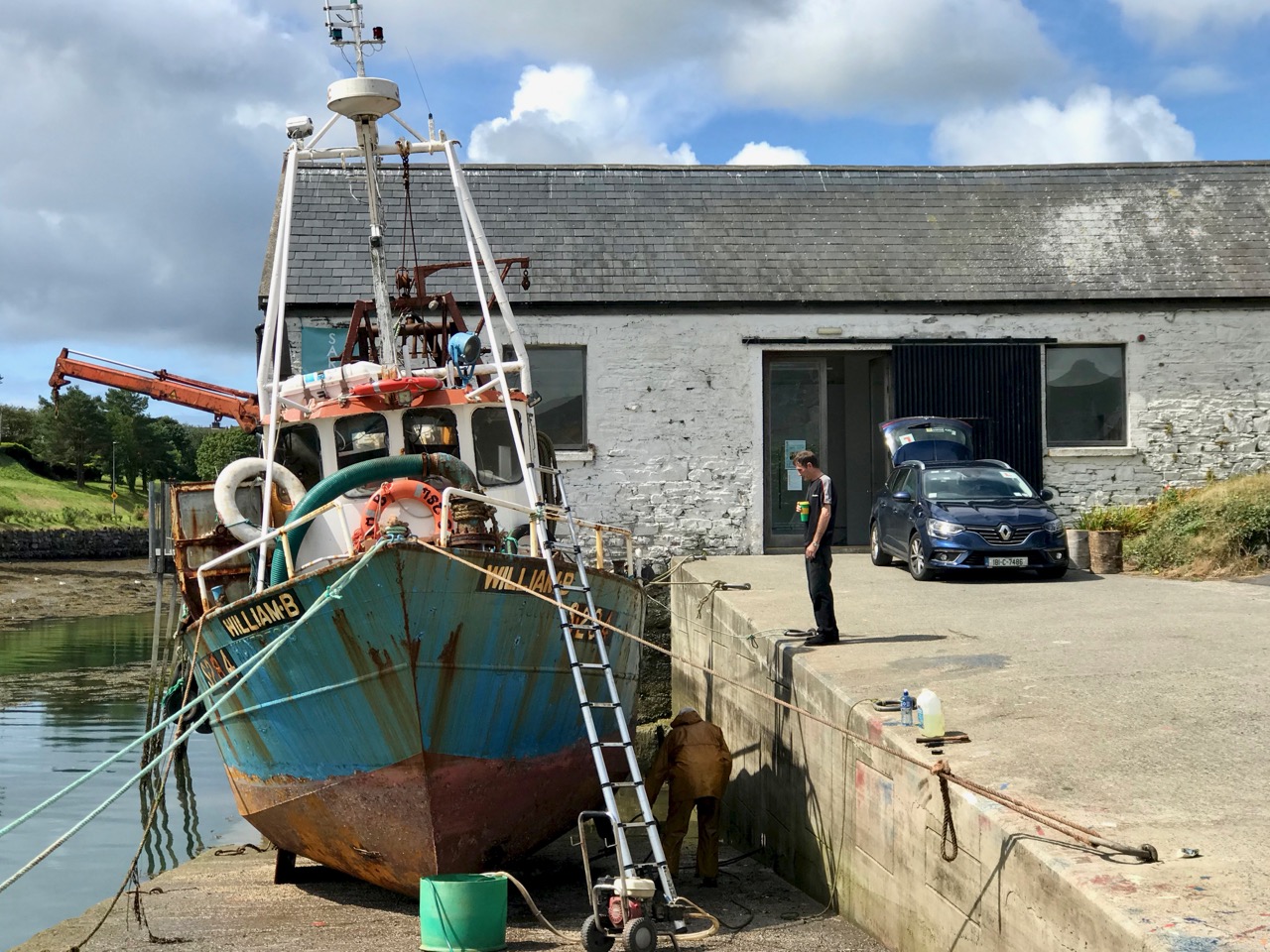
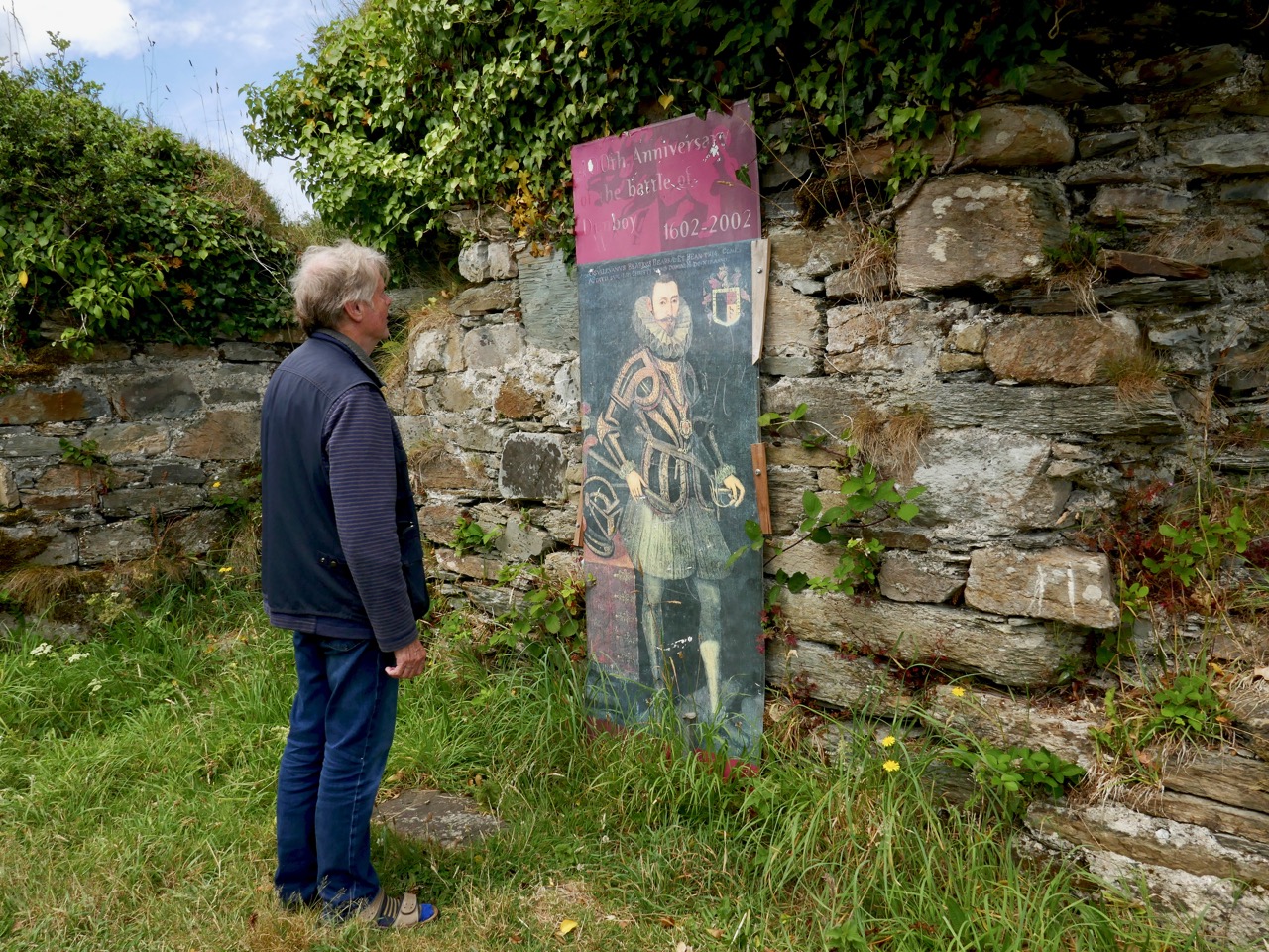
We paused only for a much-needed coffee and a quick look in the Sarah Walker Gallery (precariously and picturesquely situated on the end of the town’s slipway – it’s the white building in the picture above) before setting out to find Dunboy. I had read a little of the history of the place, and knew that it had been a centre of rebellion following the Battle of Kinsale in 1601 – 1602, when allied Irish and Spanish forces were defeated at the culmination of the Nine Years War between England and the Gaelic lordships.

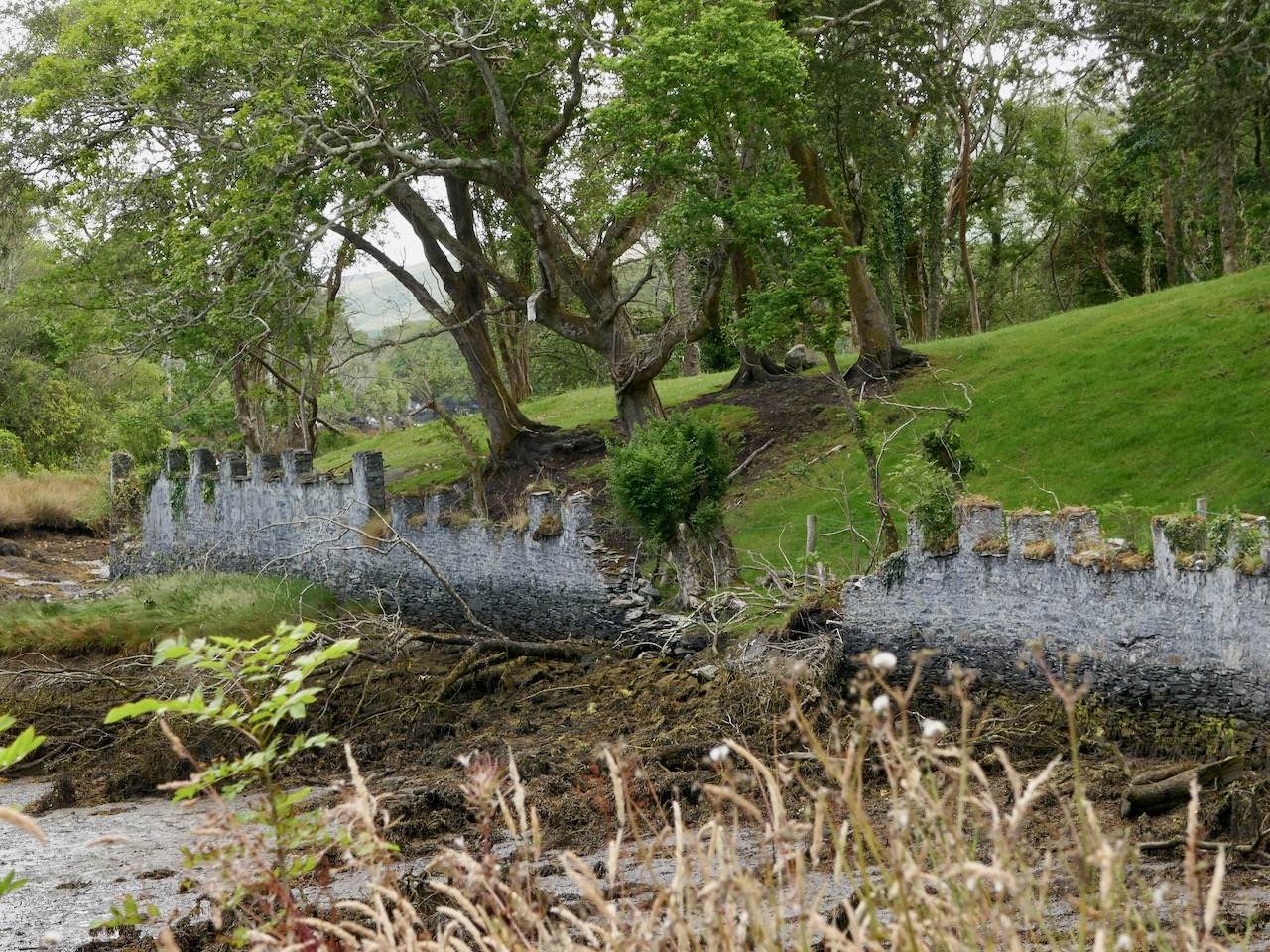
At the edge of the Dunboy Demense are traces of a castellated sea-wall and a gatehouse (above).  The territory was a stronghold of the O’Sullivan Beare clan leader, and was built to guard and defend the harbour of Berehaven. Its presence enabled O’Sullivan Beare to control the sea fisheries off the coast and collect taxes from Irish and continental European fishing vessels sheltering in the haven. It was also a centre for trade to and from the continent. In the aftermath of the Battle Of Kinsale Donal Cam O’Sullivan Beare’s followers retreated to Dunboy Castle, which was considered an impregnable stronghold.

The 25″ historic Ordnance Survey map (upper picture) shows the location of the O’Sullivan Beare fortress, circled in red. Don’t be confused by the ‘Dunboy Castle’ label: this is a later building added to an existing tower house that stood on the hill above the promontory. The estate came into the hands of the Puxley family who invested significantly in the Allihies copper mines in the 19th century. The development in the centre of the aerial view above is Puxley Manor, and is a 21st century incarnation of the huge neo-gothic family mansion created by the family, which was burnt out by the IRA in the 1920s.

These pictures show the mansion after its destruction and today. In the lower photograph you can see the original tower house in the foreground: the buildings were fully restored as part of a high-profile ‘Celtic Tiger’ project to create a 6-star hotel which could have brought employment and significant economic benefits to the area. Unfortunately the project collapsed before completion, and the future of this decaying leviathan is uncertain.

We could only look in awe at the very evident and lavish quality of the restoration and development, even in its present state, and speculate how its fortunes might have fared in more stable times. But all this was a bit of a diversion, as our goal was a much less audacious – but far more historically important – site: the original ‘Dunboy Castle’. We followed the trackway along the inlet, which looks as though it was artificially constructed to form a quay serving the demesne.

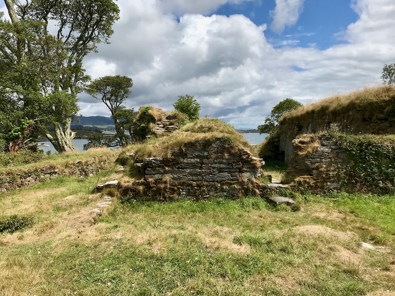
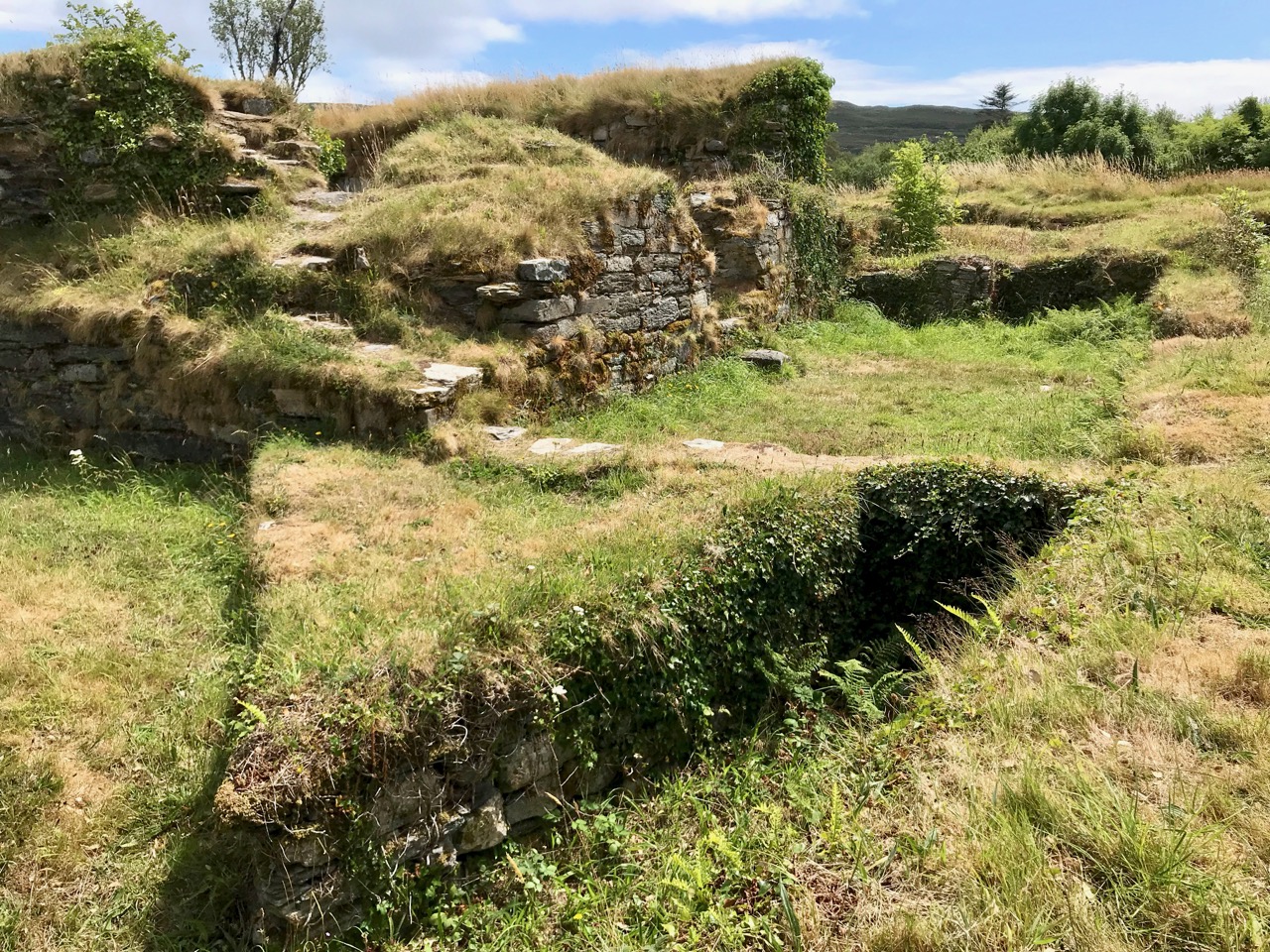
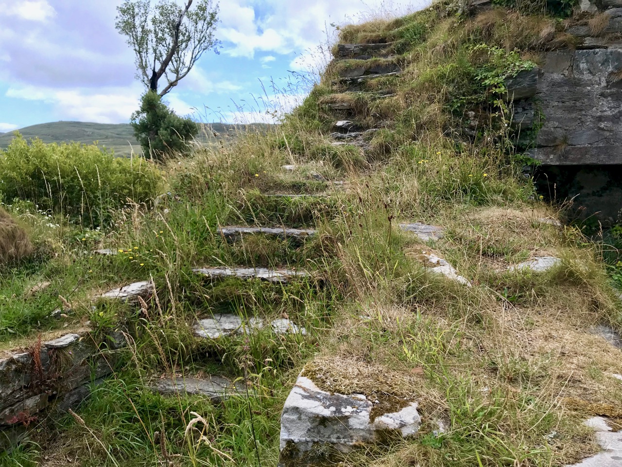
The ruin itself is unassuming: thick stone walls barely a few metres high. However, the ground plan is clear to see – a typical ‘tower house’ design with splayed openings and steps contained in the thickness of the outer walls. Also visible in the surroundings, however, are the clear ‘star’ shapes of an enclosure, complete with salient angles. These outer defences, reminiscent of ‘star-shaped forts’ evidently date from Cromwellian times, constructed after the castle was destroyed.

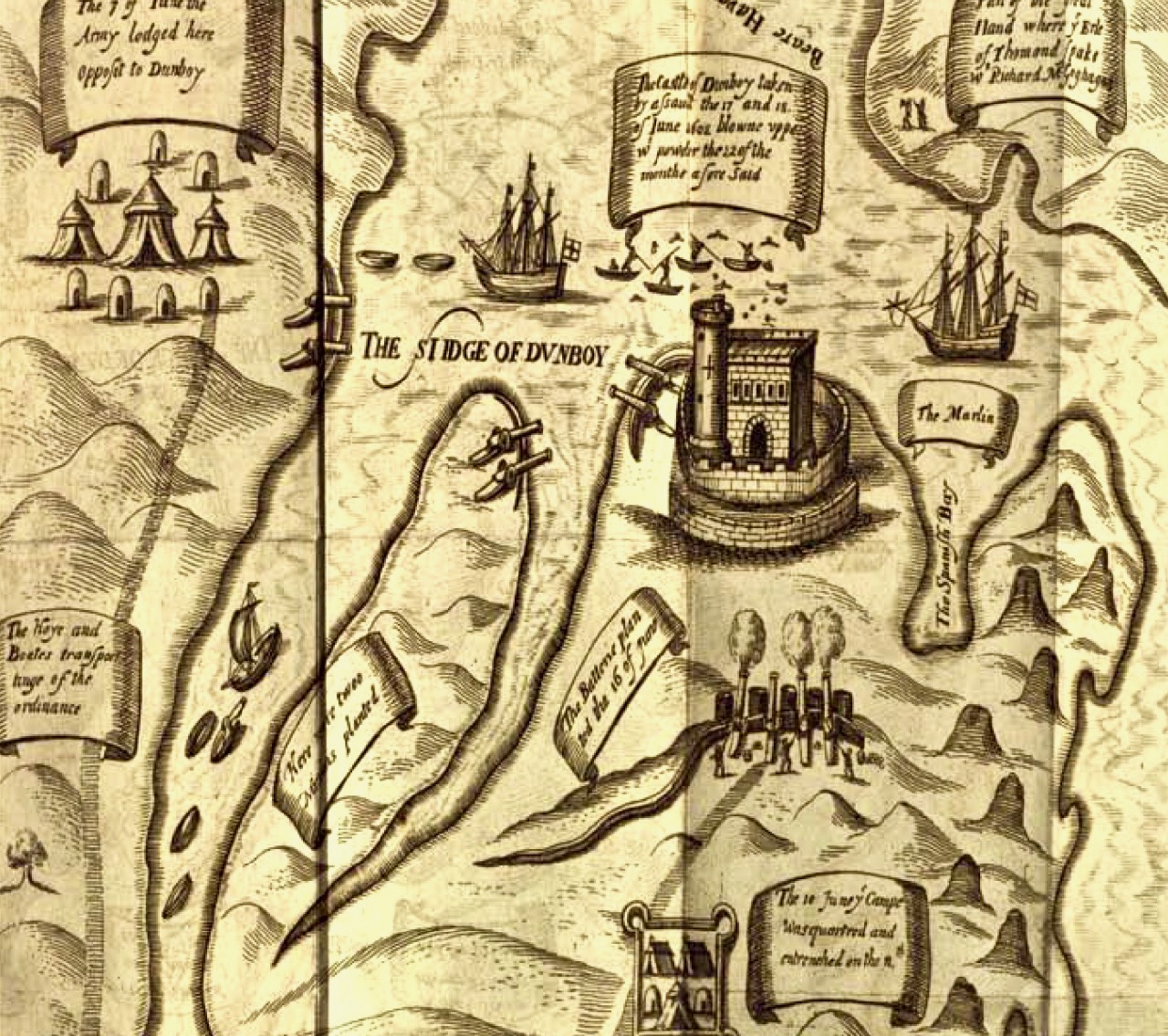
These ruins conceal an unhappy tale. At Kinsale the clan chiefs had been joined by a large force of troops sent by King Philip III of Spain, who considered that a federation with Ireland would assist his aspirations against Elizabethan England. After the surrender, a number of O’Sullivan followers retreated to Dunboy, where they found the small Spanish force stationed there  preparing to hand the castle over to the queen’s Lord Deputy, Mountjoy. O’Sullivan overpowered and disarmed the Spaniards and later released them to return to Spain, having kept kept all of their arms, ordnance and munitions. Inevitably, an English force under George Carew set out for Dunboy: it is said that this force numbered between 4,000 and 5,000 troops. O’Sullivan Beare established defences at the castle, but set off himself with most of his own army to consolidate in the north of the Beara Peninsula. Only 143 of his men were left behind at Dunboy, together with Friar Dominic Collins to look after their spiritual welfare. The siege of Dunboy began with an artillery bombardment by land and sea. Owen O’Sullivan of Carriganass, a cousin of Donal Cam, had allied himself with the English and informed them of a weak point in the castle walls. The guns were directed to that point, and the walls were eventually breached. After a ten day siege, Dunboy was reduced to the ruin we see today.

Above is a wonderful graphic illustration of the Siege of Dunboy Castle from Pacata Hibernia or A History of the Wars in Ireland during the Reign of Queen Elizabeth first published in 1633. Only 72 of the Irish defenders survived the siege: they were all hanged, including Friar Dominic Collins. Most of the hangings took place in the bustling square of Castletown-Bearhaven, close to where we had enjoyed our coffee at the start of our excursion.

Here I am meeting Donal Cam himself in the ruins of his former stronghold. My account of the Siege of Dunboy is a very condensed version. Much more has been written about the details. As for O’Sullivan Beare, he eventually embarked on a long march to Leitrim with a thousand of his followers – but that’s a further unhappy story, best kept for another day!

Dunboy Castle and its immediate environs are publicly accessible and there is plenty of parking within easy reach. We finished our day on the Beara by following a rural loop walk from the castle ruin back to the gatehouse – about 5 kilometres in idyllic surroundings.

York or Cork?

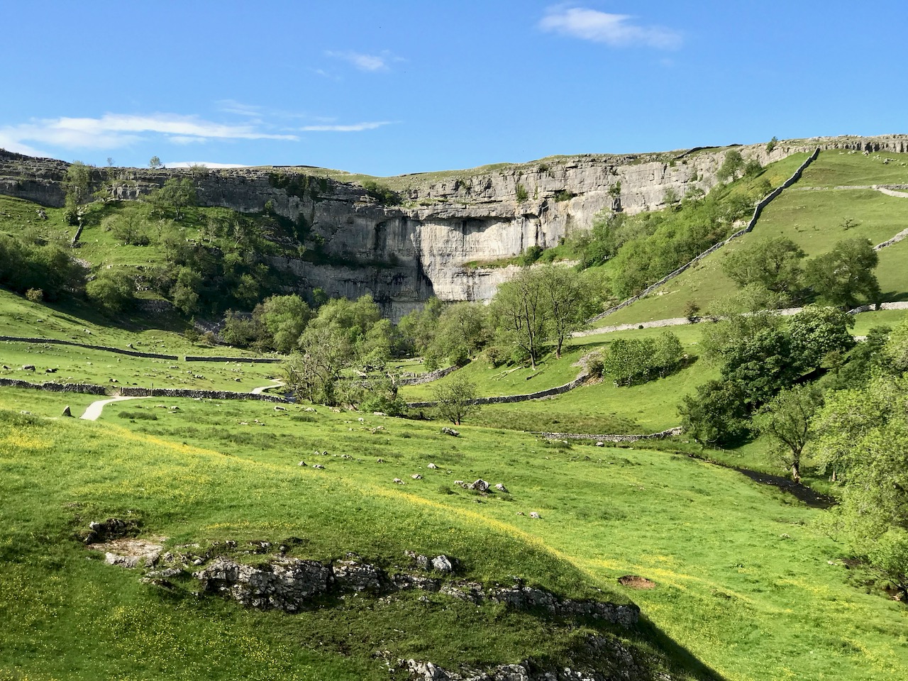
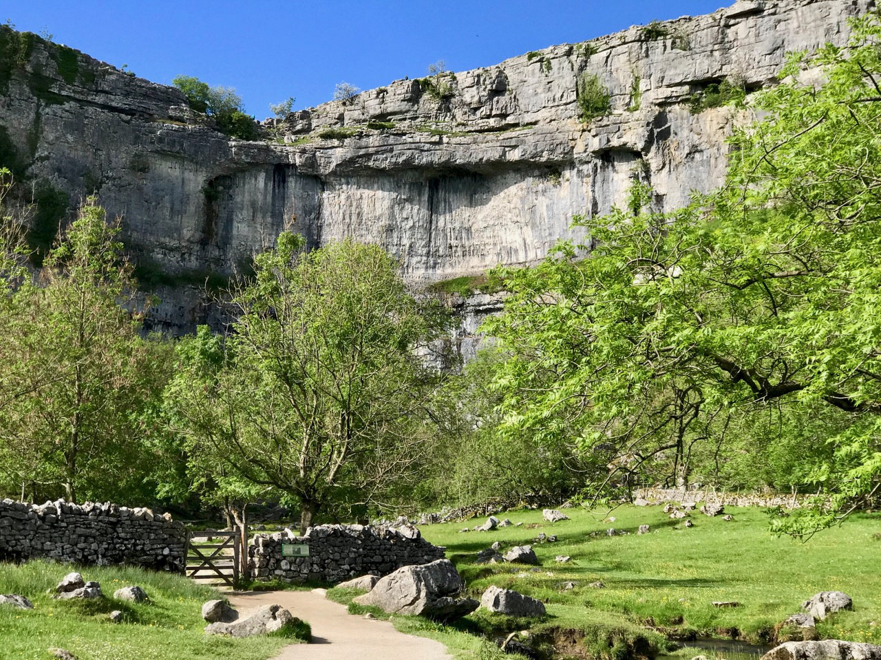
If this seems an enigmatic title, it is reflective of the fact that Finola and I have just visited Yorkshire, where  – for Finola’s birthday – we treated ourselves to a superabundance of medieval architecture and some idyllic wanderings in the Dales (that’s Malham Cove, a spectacular limestone cliff and pavement, above). This set me to thinking about comparisons between the county of Yorkshire and our own County Cork: both are the largest counties in their respective countries, but Yorkshire – at 14,850 km2 – is almost double the area of Cork, 7,500 km2.

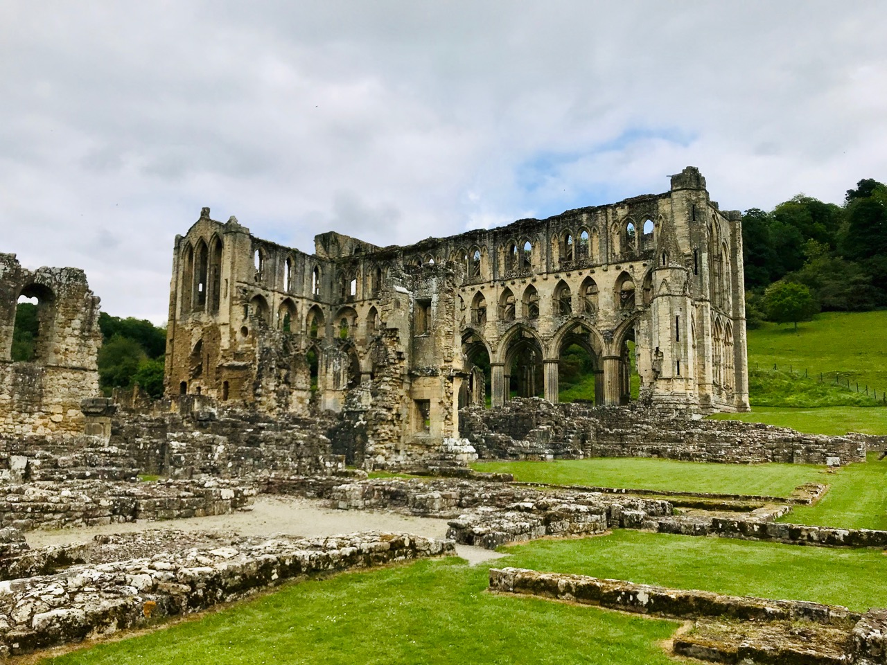
The gaunt ruins of Rievaulx Abbey in North Yorkshire: this was the first great Cistercian abbey in Britain, established in 1132. It became one of the most powerful and housed a community of 650 brothers at its peak in the 1160s under its most famous abbot, Aelred

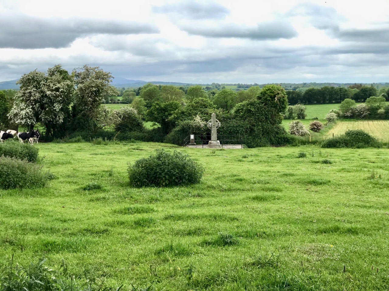
In Ireland we can’t compete with the sheer scale of the monastic settlements that we can see in Yorkshire. However, in spite of those impressive ruins which are so well cared for by the state and the National Trust, nothing can compare, for us, with the timeless serenity and isolated beauty of places such as Kilree, which Finola described in a recent post.

The medieval High Cross at Kilree, Co Kilkenny. This example of ecclesiastical art probably dates from the 8th century and stands remote and seldom visited, deep in rural Ireland – a reclusive gem

I feel that this post gives me an excuse to tell a little Cork / York story that I learned many years ago from Gerald Priestland, the BBC’s religious affairs correspondent from 1977 to 1982 – who lived not far away from me in West Penwith, Cornwall. Priestland was researching the history of the Parish of St Buryan in the far west of the peninsula: the Irish saint, Buriana, was said to be the sister of St Piran, Patron Saint of Cornwall – who, you will know from reading my posts – here, (and here), was born on Cape Clear, just over the water from us in West Cork, where he was known by the name of St Ciarán. Finola is republishing another post about Cape Clear today.

The coast of West Penwith, Cornwall: Gerald Priestland lived here – on the hill, and I lived not far away – over the hill

St Buryan was known as “The Wickedest Parish in Cornwall” in earlier times – I can’t vouch for its present day reputation! This was supposedly because the settlement (which Priestland describes as . . . a bleak and haunted landscape . . .) received a special privilege in the year 936 from the Saxon King Athelstan as he was passing through on his way to defeat the Danes on the Isles of Scilly. He founded an independent College of Priests at St Buryan and layed down that the lands (some 770 acres) . . . are to be exempt from all secular assessment; but not from the rendering of prayers which the clergy have promised me (that is, Athelstan): 100 Masses and 100 Psalters daily . . . The Domesday Book confirms that Buryan maintained its freedom from taxation but also confirms the charter that . . . the privilege and ordinance of sanctuary and aforementioned liberty may not perish through old age . . . That is to say that St Buryan was made a place of sanctuary then, and will remain so always. The consequence of this was that any wrong-doer or fugitive, instead of having to go into exile, could live freely within the parish boundaries without suffering any punishment – forever. So the place filled up with felons, brigands, rogues and villains!
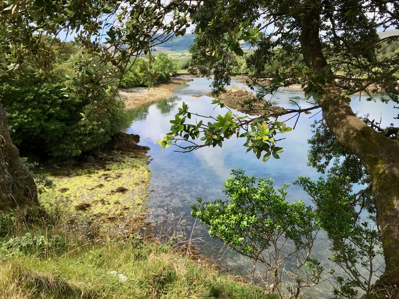
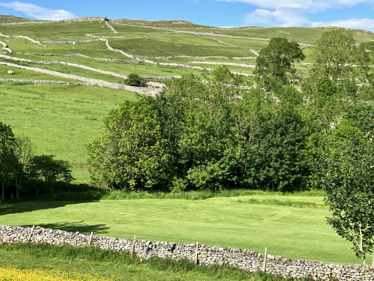
Scenic Yorkshire: landscape of the Dales (just to remind you of the subject of today’s post)!

St Buryan became – and remained – a den of iniquity. So much so that in 1328 the Bishop of Exeter, Grandisson, was forced to excommunicate everyone in the settlement. Priestland writes:

Grandisson came as close to the boundaries of Buryan as he dared, and from the top of St Michael’s Mount – six miles across the water – he pronounced the fulminacio sentencio contra Barianes – the Greater Excommunication against the people of Buryan. The bell was tolled and the book and candles were cast down. There are not many parishes in England that can claim that very specific distinction . . .
Deans continued to be appointed to the parish – and were duly paid a stipend – but none of them ever went there. The last of the absentee Deans was Fitzroy Henry Stanhope, an army officer of ill reputation who had lost a leg at Waterloo (he was known thereafter as ‘Peter Shambles’). He was offered the position at Buryan in 1817 by his Commander-in-Chief, the Duke of York, in lieu of an army pension: it was worth a thousand pounds a year. There was one problem: Stanhope had to be ordained, but no-one could be found to do it. One day the Duke was told that his friend the Bishop of Cork was on Holiday in London. At once Stanhope was sent round in a carriage with the message:

“Dear Cork – Please ordain Stanhope – Yours York”

By sundown, he was back, with the reply:

“Dear York – Stanhope’s ordained – Yours Cork”

This incident has gone down in history as the shortest piece of official correspondence on record. And doubly justifies the title of my post today!

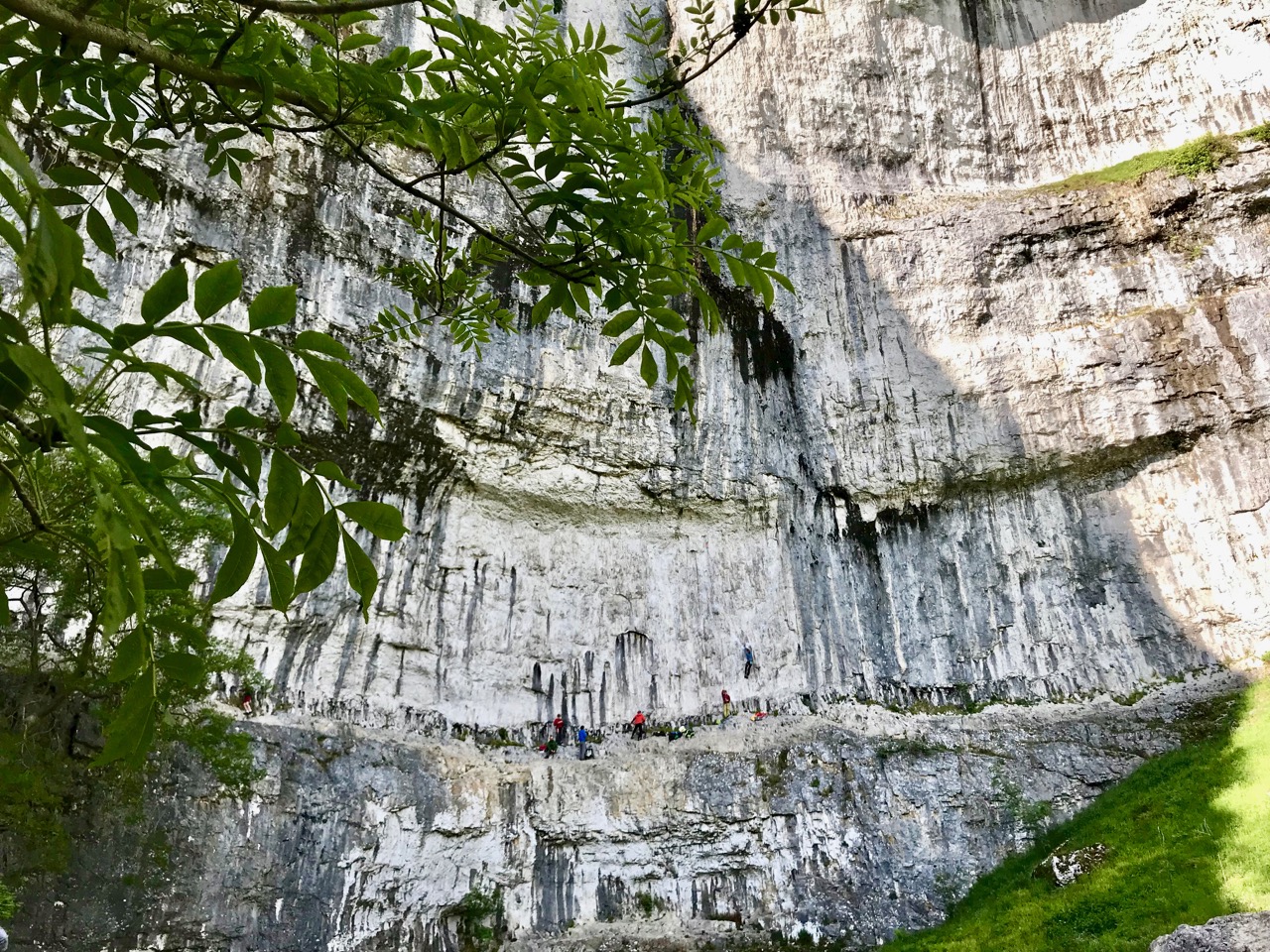
Malham Cove again: this geological formation would have been a huge waterfall as the glaciers began to melt after the last Ice Age. In the lower picture you can see the true scale of the place – look at those figures on the lower ledge! It is a popular spot for climbers

So – Cork, or York? We are very fortunate to be able to travel so easily to see the beautiful places of the world. But – always – the best part of travelling for me is coming home to West Cork: there’s no doubt where my heart is . . .
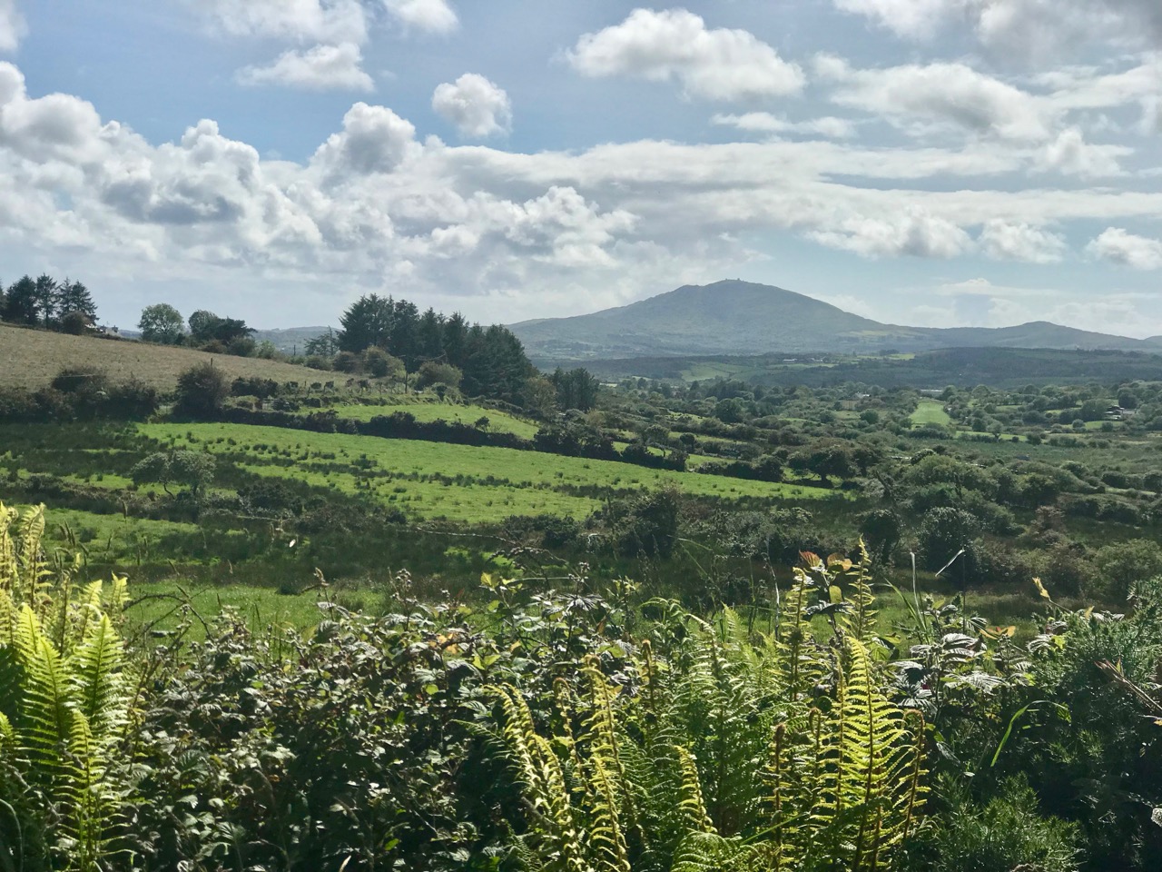
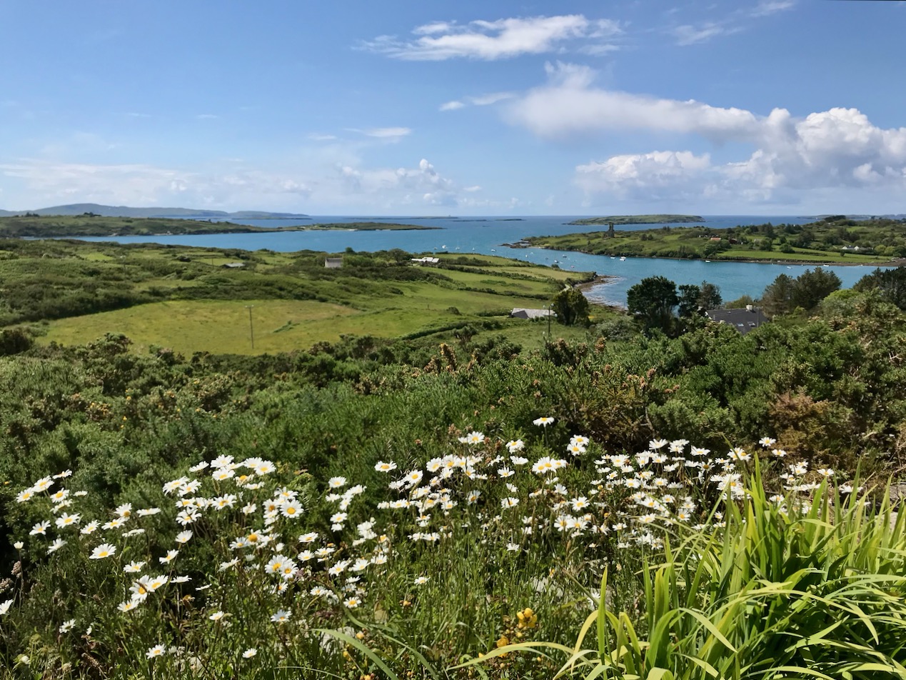
County Cork landscapes: Mount Gabriel (upper) and our very own view (lower) from Nead an Iolair, taken on the day I returned from Yorkshire. Below – looking across to the Mizen, from the Sheep’s Head.

Ballydehob on Bahnhofstrasse!

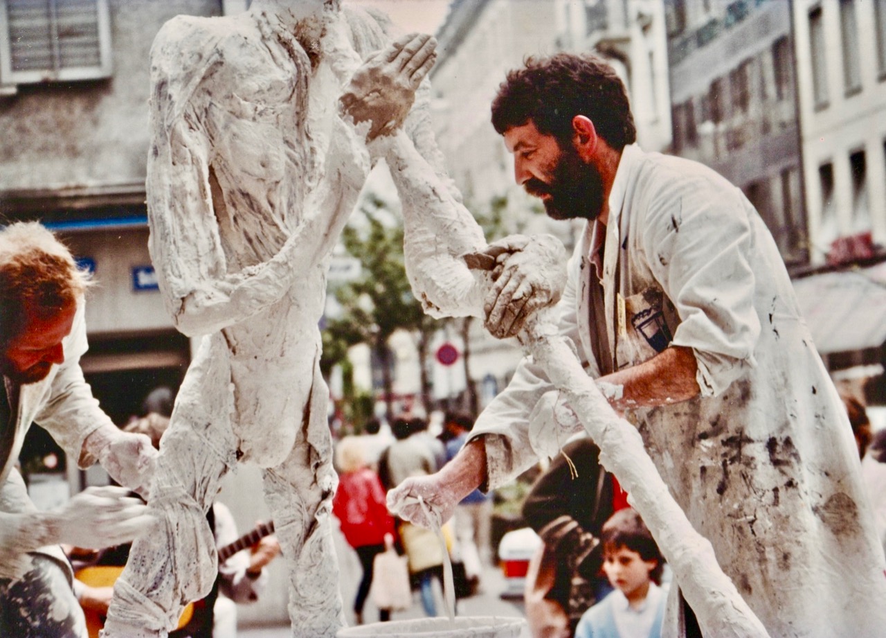
What are all these people looking at? Is this Ireland? And when? Firstly, what they are looking at is a street performance – and the performers are Irish – not just Irish, but all from West Cork! And, the spectators are in Switzerland! We know exactly when this happened: 34 years ago. Here’s the story, and here is what they were watching:

Brian Lalor – Curator of our Ballydehob Arts Museum – was one of a group of artists who travelled from West Cork to Zurich in May 1985 to put on a large exhibition of their work in the city. He is telling the story through one of the two new exhibitions which has just opened in Bank House, Main Street, Ballydehob – and which will be running through to September this year. Plenty of time to come and have a look, but don’t miss it! The exhibitions can be seen when the Mizen Gateway Tourism Centre is open in the former bank building, right in the centre of town. Generally, Bank House is open Mondays to Wednesdays, 12 noon to 6pm, and Thursdays to Saturdays, 11am to 5pm. Because the centre is partly run by volunteers, please check by phone prior to coming: 028 25922.

The original 1985 exhibition poster was produced as a limited edition artwork by Coilin Murray, one of the participants

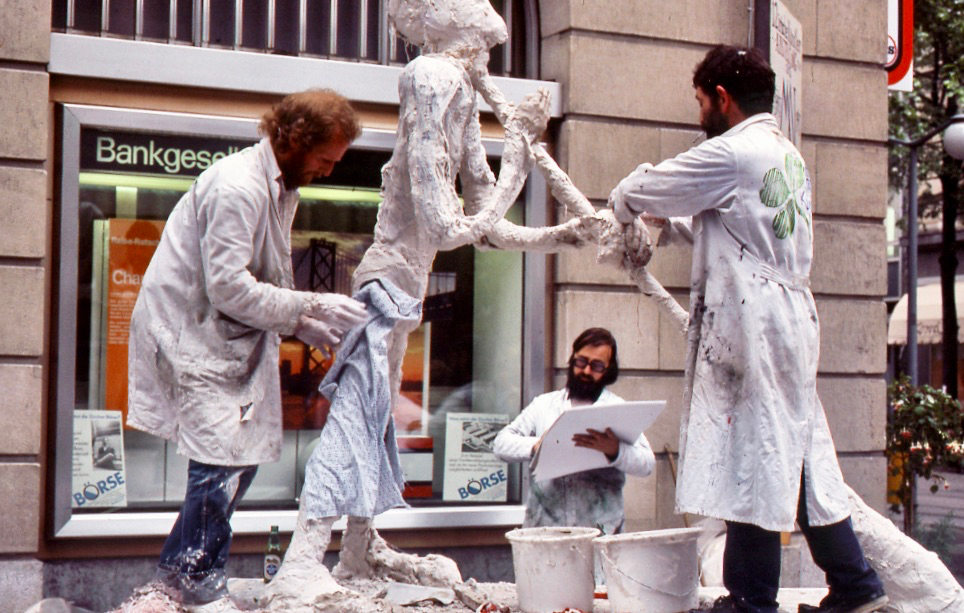
Having set up the exhibition in the Reithalle, Zurich – a fine, capacious premises, the artists realised that relatively few people were coming to see it, as it was a fair way out of the main thoroughfares, and little publicity had been organised in advance. So they put their creative heads together and came up with the idea of making a piece of art in the city centre – something which no-one could ignore.

The artists took as their starting point one of the most important sculptors of the 20th Century, Alberto Giacometti, from Switzerland. He was famous for his ‘matchstick figures’: have a look at the book cover above. Ballydehob’s version of ‘Giacometti’ was built on a trailer – mainly by artists Ian Wright and Pat Connor – and he was playing an Alpenhorn. Brian Lalor made several sketches of the event (you can see him in the picture above, and one of his sketches above that): these sketches have lain dormant for 34 years and have not been shown anywhere until the Ballydehob exhibition, where they are being unveiled for the first time. Although a serious business, it was all a bit tongue-in-cheek. I think you can tell that by the name the artists gave their statue – Jack O’Metti! However, it was a tremendous success, and the crowds came flocking.

A further dimension was added to the street performance when John Verling had his legs encased in a plaster cast by Ian Wright, all the while singing the sean-nos song ‘The Rocks of Bawn’. The significance of this particular event escapes me . . .

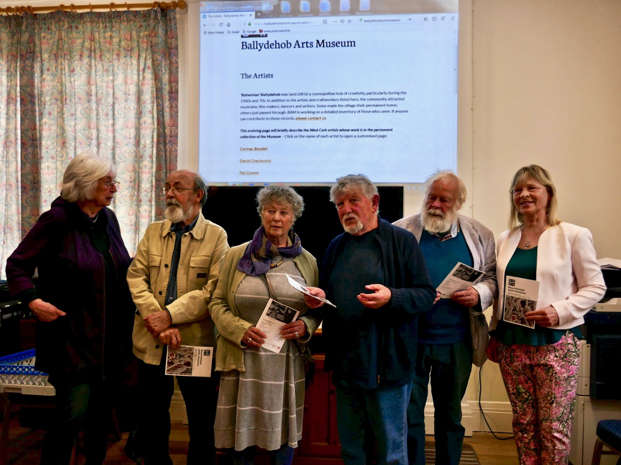
At the opening of our exhibition last Thursday, there were present several of the artists from the early days, some of whom had contributed to the events of Zurich ’85: it was an historic occasion!

A line-up of West Cork artists from the heady Bohemian days: Birgitta Saflund, Brian Lalor, Leda May, Pat Connor, Jim Turner and Carol James. All pictured together at this week’s opening of the Ballydehob Arts Museum

There’s more! The Ballydehob on Bahnhofstrasse story is only one of the new exhibitions in Bank House; the other is The Irish Tea Ceremony. If that intrigues you, I’m not going to give the game away. Come and see for yourself what goes on in this little corner of Ireland – and be amazed!

Find out much more by visiting our brand new website – launched along with the exhibition:

www.ballydehobartsmuseum.com

Mizen Magic 15: Long Island

The summer sun is falling soft on Carbery’s hundred isles— 
The summer sun is gleaming still through Gabriel’s rough defiles—

(from Thomas Osborne Davis The Sack of Baltimore 1844)

Up here in Nead an Iolair (Eagle’s Nest) we look out over the Carbery Islands. There are supposed to be a hundred of them, although some are just little rocky outcrops: the tips of underwater mountains at the margins – and the mercy – of the Atlantic.

Horse Island, Castle Island and Long Island lie along the length of the coast below us. Peter Somerville-Large (The Coast of West Cork 1972) quotes a tradition that they all used to be one island:

In the latter end of March, AD 830, Hugh Domdighe being monarch of Ireland, there happened terrible shocks of thunder and lightning . . . At the same time the sea broke through the banks in a most violent manner, The Island, then called Innisfadda, on the west coast of this country was forced asunder and divided into three parts.

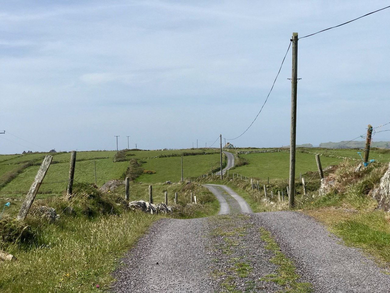
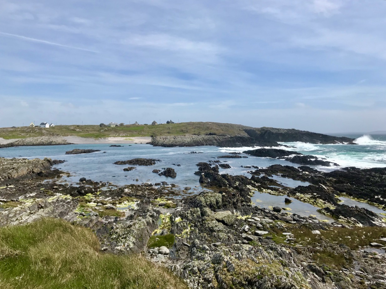
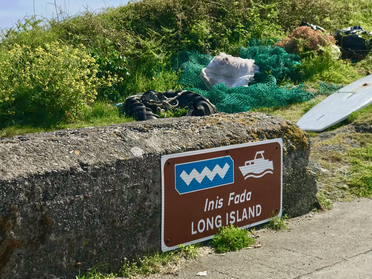
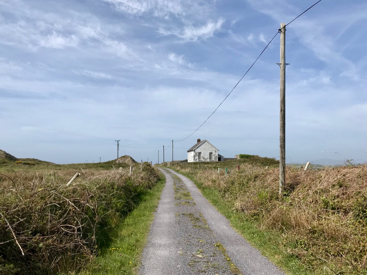
Long Island is still known as Inis Fada in the Irish language: the Anglicised name is a direct translation; header – the long road that winds from East to West on Long Island; second picture – the Wester village seen above the Atlantic breakers on the wild and battered far shore

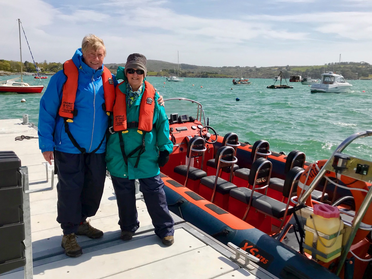
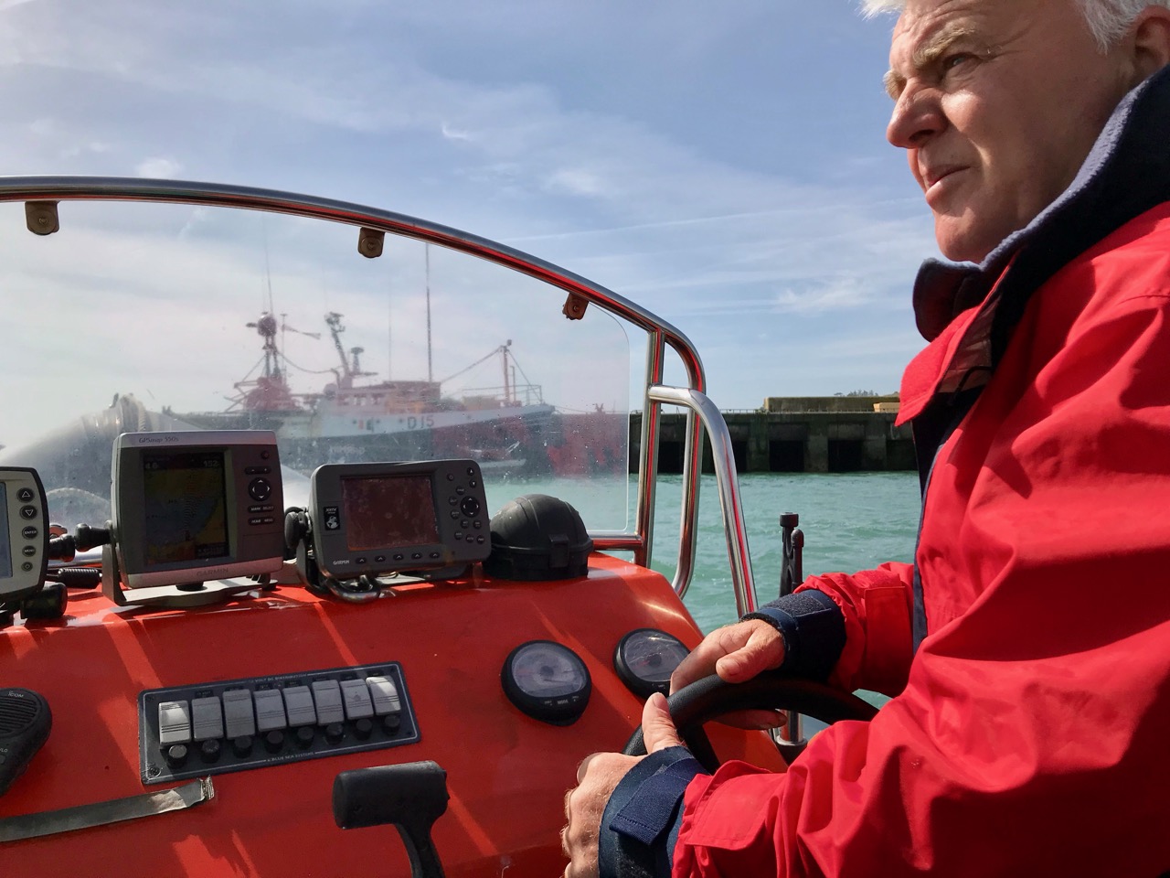
We had a day’s adventure on the island, walking almost the full length of it; Finola was madly busy identifying all the wildflowers. It’s part of the magic of Long Island that we covered a distance of over 10 kilometres in the day, although the length of the island tip to tip is just over 4k. There is a regular ferry to the island from Colla Pier (not every day of the week), but we chose to travel from Schull pier with Helen of Schull Sea Safari (a whale watching trip with Helen will be a future outing for us). Our mode of transport was Helen’s very fine large RIB, the Kealtra – superbly equipped. With a hard south-easterly wind the waters were very choppy and we had to be fully kitted out for the crossing!

Upper – intrepid travellers kitted out for a choppy crossing on the Kealtra! Lower – skipper Donie taking the RIB out of Schull Harbour

After the heady excitement of a blustery crossing, stepping on to the tranquil world of Long Island is a magical experience. You are immediately aware that the place holds memories – and ghosts – but is still a community in the modern world thriving against the odds.

Everywhere there are signs of the past: abandonment, fading history, but also livings still being forged from the environment. The sadness is the obvious population decline. Looking through the available census records, a melancholic picture emerges: 1841 – population 305; 1911 – population 143; 1951 – population 74; 1991 – population 11; today – population 7 (and that’s an increase of 1 from 2 years ago). There was once a school: the decaying building is now a lonely waymark at the centre of the island’s single boreen.

The Island School – long deserted and gently decomposing

Peter Somerville-Large in conversation with the local residents during his visit half a  century ago:

I talked to Mr McCarthy, who had lived here all his life and could remember when the place had been full of fishermen all speaking a mixture of Irish and English. One by one he had watched them leave. A dozen families still remained, comprising perhaps forty people altogether. The school had shrunk year by year, to four pupils, then two – it closed after that. There was neither electricity, nor any shop – nothing to keep the young from making the short crossing over to the mainland. It would take them fifteen minutes, according to wind and weather. There they disappeared for ever. When the old ones like himself died out the place would become empty.

Contrasts at the west end of Long Island

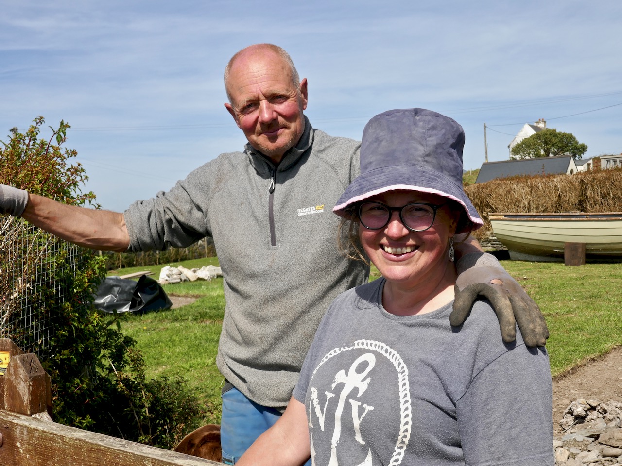
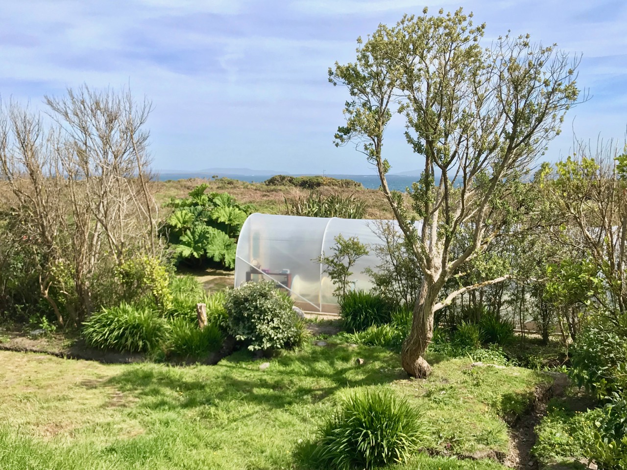
Although there are many houses that are intact and well looked-after (a number are holiday homes), you would think that the odds were ultimately stacked against the survival of this island. Yet those who do live here full-time have tenacity – and there is fresh energy. Helen and Maurice have built their own new house and run businesses which allow them to be island based, while Castaway East is a ‘Place of New Beginnings’, a venture offering B & B or full board and – if you want – retreat packages to recharge your batteries. Peter and Tracy are also experts in garden landscaping as can be seen from the works they have carried out for themselves.

The East end of the Island: you can walk past Peter and Tracy’s ‘Island Retreat’ to the old copper mine and navigation beacon

We were pleased to find that the island’s well has been maintained and presented in excellent order – mainly by Joe, one of the Islanders. It’s a little haven, not to be missed. The day’s adventure gave us so much photogenic material – I will be returning to this magical place in a future post.