Moments on Heir

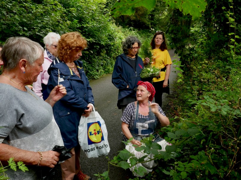
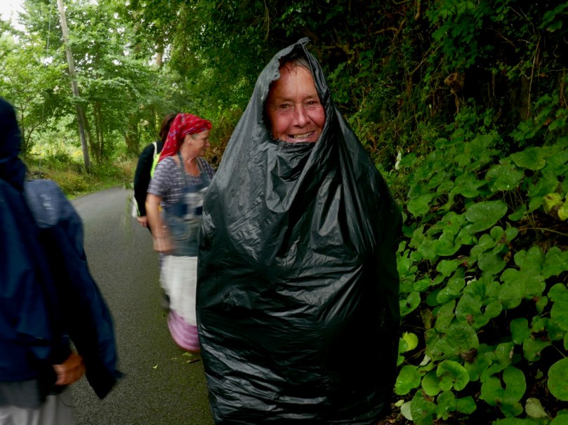
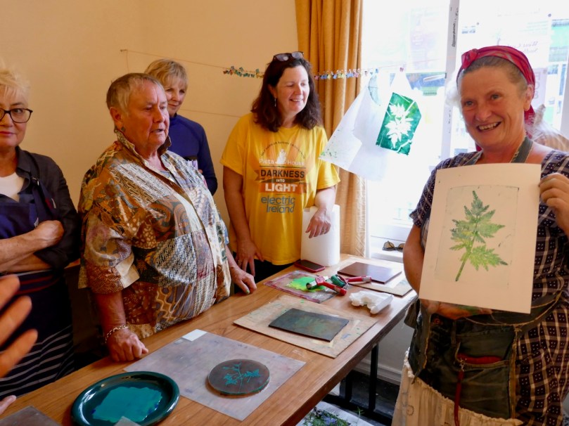
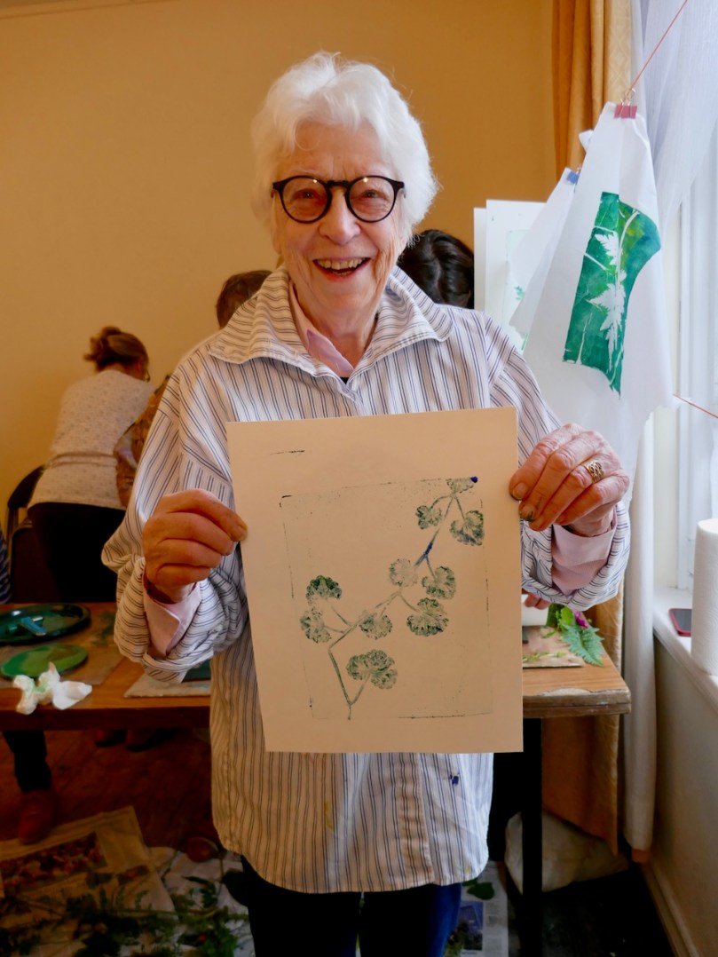
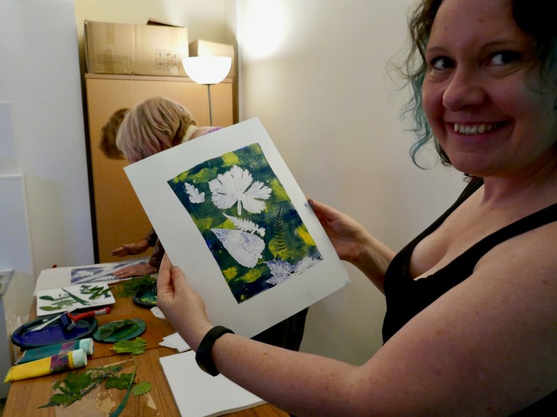
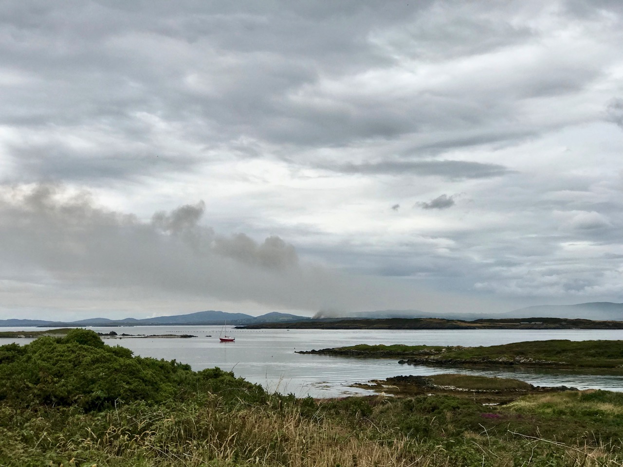
You will often find us visiting the inhabited islands of Roaringwater Bay. They are, after all, in full view of the panorama we see from our perch up here in Nead an Iolair (Eagle’s Nest), and easily accessible by regular ferry services. We like them because – who doesn’t enjoy a boat trip? Also, that little step from the mainland removes you to another world: places where life is lived a little differently, where you can feel slightly remote from the the most pressing issues of life, a little bit ‘on the edge’. Cape Clear, Sherkin, Long island – we have written about them all. And, today’s subject, Hare, or Heir: we have been there before but last week Finola was leading a wildflower walk on the island, and I went along for the ride, and a further exploration.

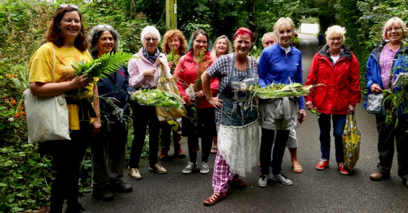
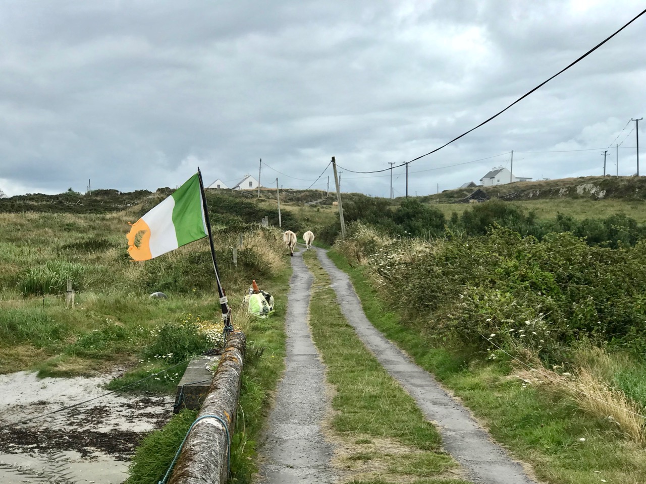
Colour on Heir: upper – Heir hedgerow, where wildflowers and garden escapees mix happily together; lower – Finola’s band of wildflower enthusiasts get caught up on the minutiae of the beach flora

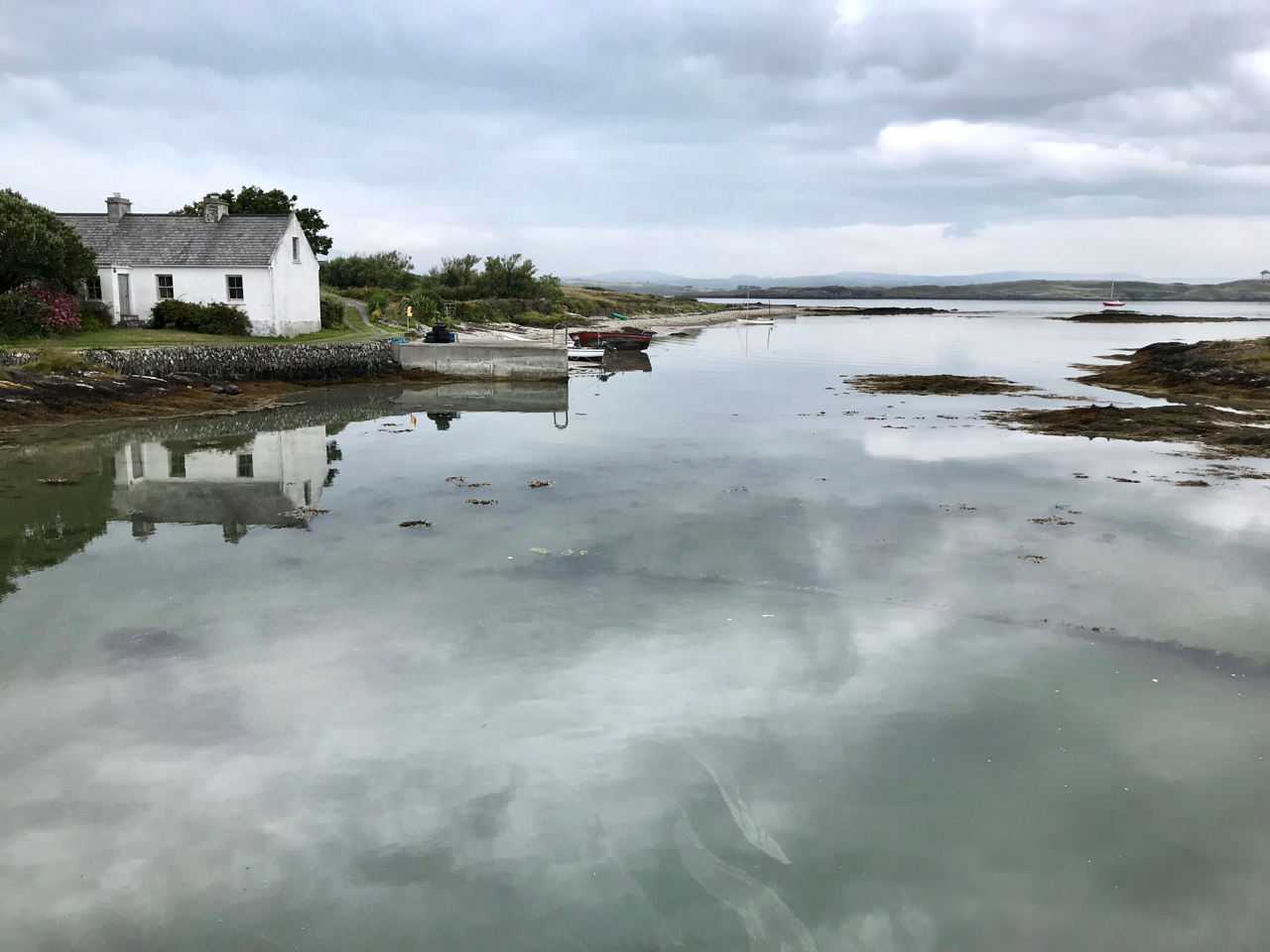
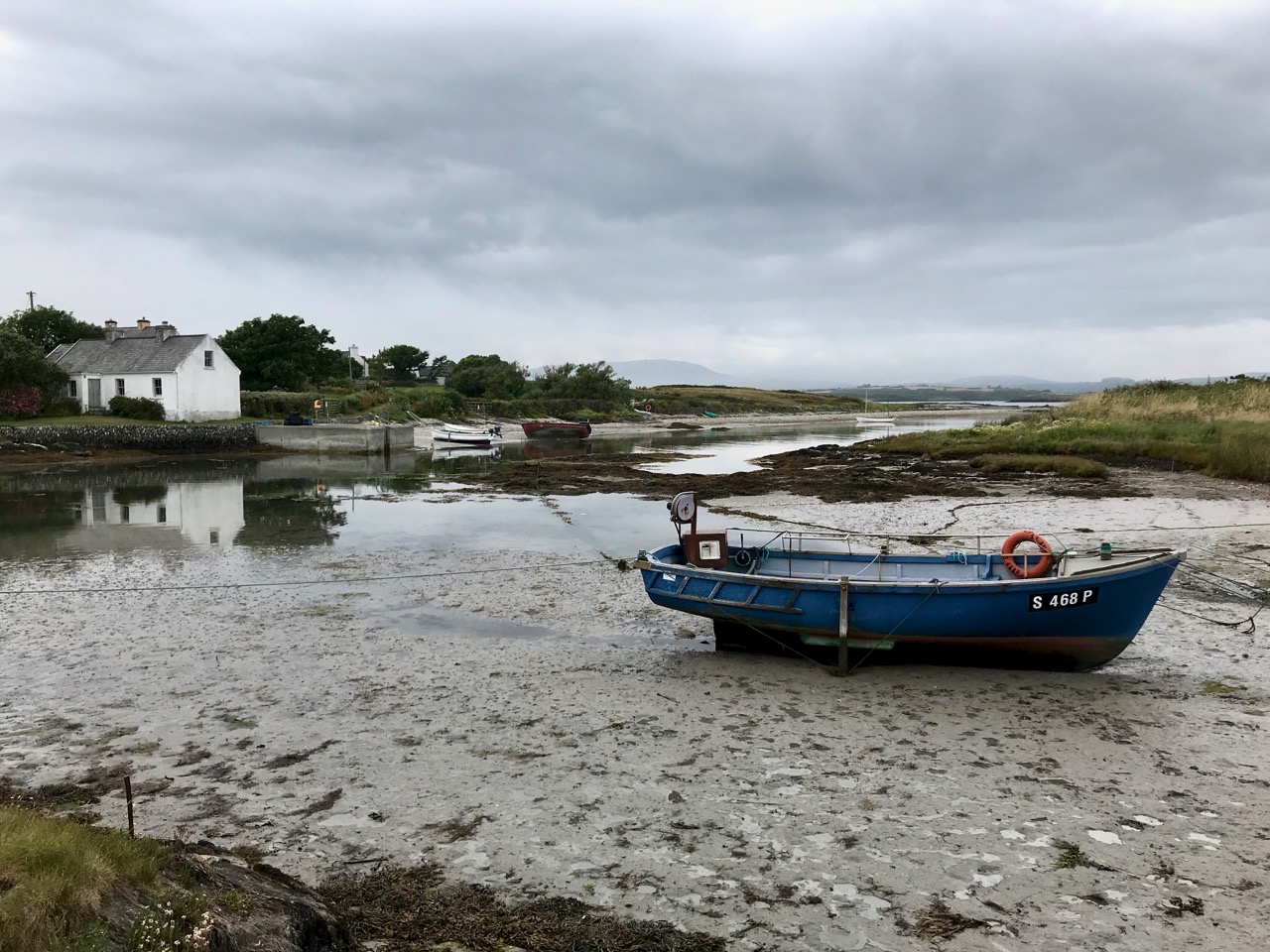
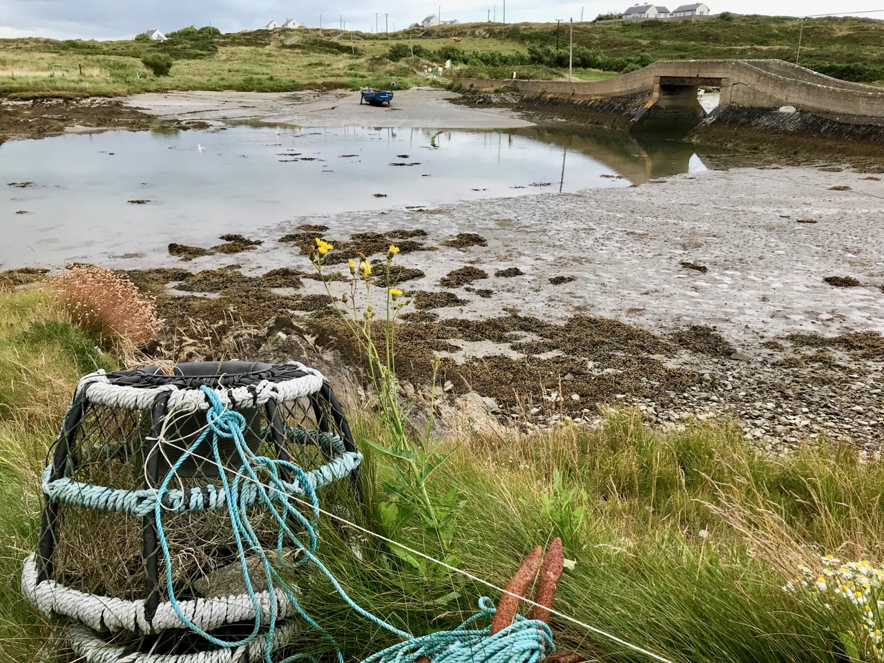
It was a mixed, breezy day on the island, but dry for the group – two ferry loads and some furry four-footed minders to keep us all in order. Much time was spent poring over a myriad of plant species, some of which flourish on the West Cork islands more prolifically than on the mainland. I was interested in the land- and sea-scapes which changed quite dramatically with the movements of the tides.

Tides in and out: these two pictures near the wester end of Heir Island were taken within four minutes of each other!

A word about the island’s name: often seen on maps and signposts as ‘Hare Island’ (which of course makes my own long ears prick up!) it is supposed to have nothing to do with the animal. Today, the islanders will tell you that it derives from the past ownership of the lands by the O’Driscoll clan, and should be called Inis Uí Drisceoil (O’Driscoll Island) or Inis an Oidhre (Island of the inheritance – ie, of the O’Driscolls – or heir), hence the more usual modern name.

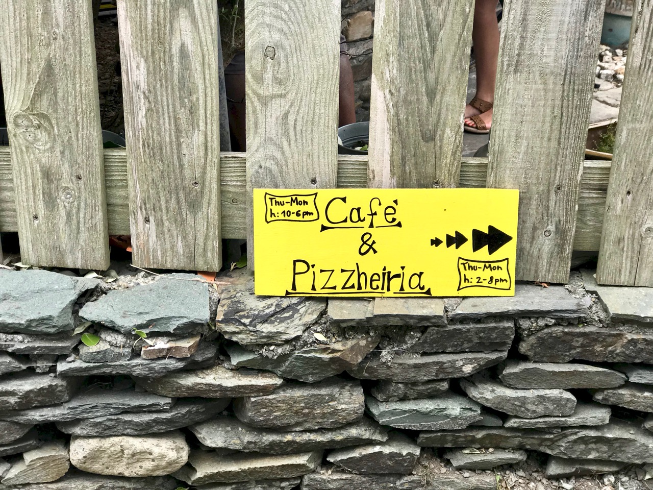
Yes, you can get pizzas and coffee on the island in the summer!

So is this island really a ‘Paradise’, as Finola called it in her earliest post? Undoubtedly! Away from the busy harbour it’s profoundly peaceful: bees, butterflies and wild birds are abundant. But it’s also haunted – as are the other islands of Roaringwater Bay. The past is always around you: reminders of a time when the population was far greater. The first official Irish census of 1841 showed a population of 358. The famine years caused fluctuations but in 1901 there were still 317 people living permanently on the island. Today this number has reduced to around 30 full-time residents, although there are many holiday homes on the island, and the summer population in present times can approach 150. This helps to support a cafe (above) and a restaurant (Island Cottage).

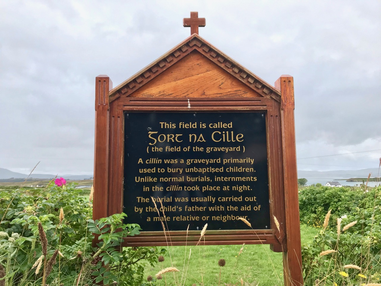
Island history: upper – Field of the Graveyard commemorates the burial of unbaptised children; lower – the Island School closed in 1976, when the resident population was around 50

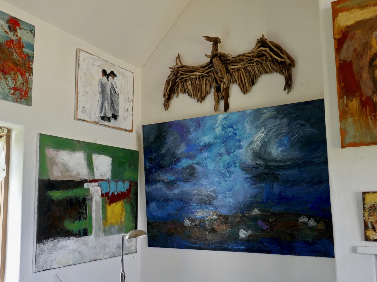
Artist Christine Thery has been a full-time resident on the island for many years; her husband Gubby Williams helps with the ferry and has designed and built ‘Heir Island Sloops’. Christine is an active environmentalist and keenly involved in ensuring that Heir is sustainable and responsible in caring for its natural habitats; she was instrumental in organising Finola’s Wildflower Walk. Here is some of her work in her studio:

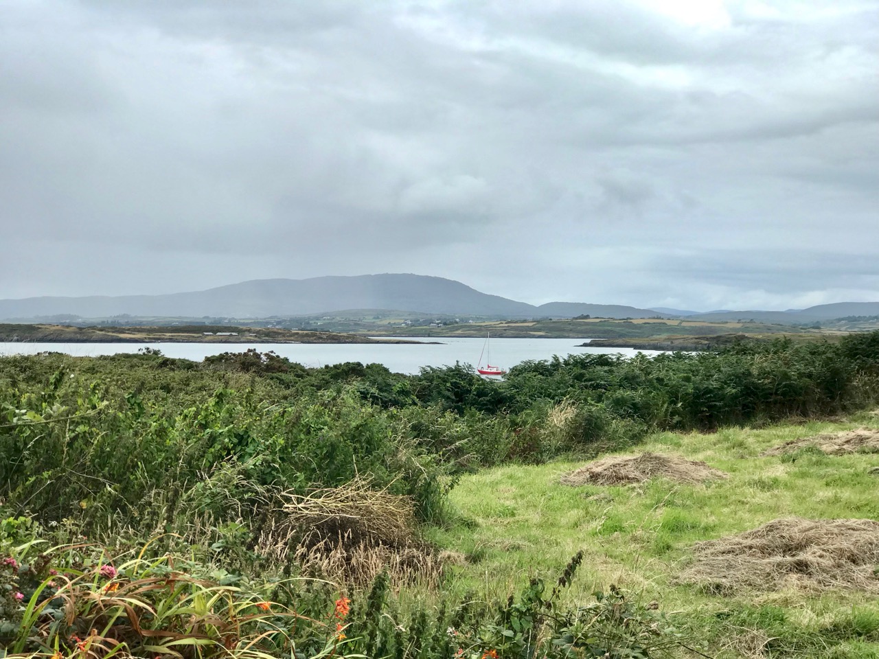
Heir is only a five minute ferry ride from Cunnamore Pier, yet the mainland seems a distant place once you are imbued with the innate atmosphere of island existence. The views from the north side of the island are dominated by Mount Gabriel, (pictures above). Five minutes – yet it seems such a step away from everyday life: long may beautiful Heir continue to support its fragile but tenacious resident population.

West Cork in High Summer – Festival Central!

West Cork has festivals all year long, but right now we are gearing up for some of our favourites and they are looking terrific!

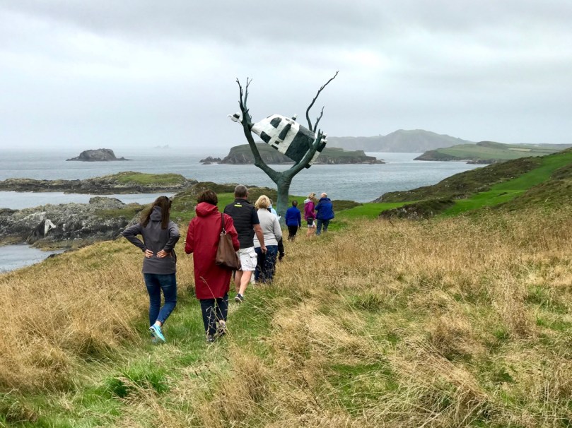
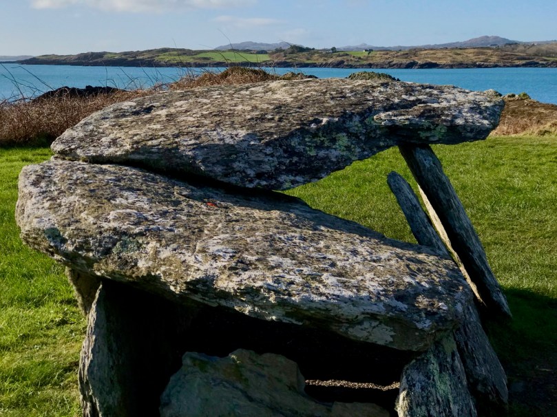
We’re planning the field trips. for the History Festival. Top photograph is of last year’s tour of Reen Farm, John Kelly’s Sculpture Garden and above is the Bronze Age Altar Wedge tomb, which this year’s Mizen field trip will visit

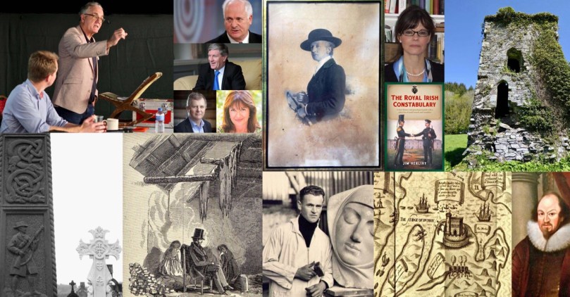
For us, the most significant is the West Cork History Festival, because we are very involved. Have you ever thought you might like to go along on one of our field days?  Well, here’s your chance as we will be leading two field trips on Aug 8 and 9 and Carina Jeisy of Beara Baoi Tours is leading another. All the details are here and you can buy tickets there too – if you hurry.

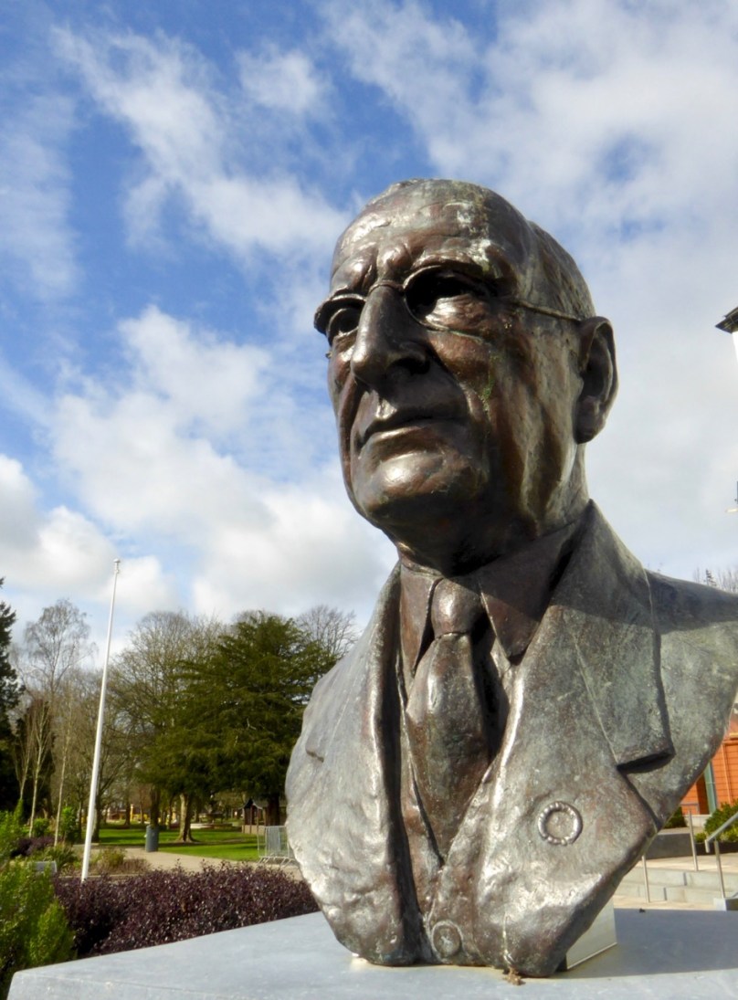
Dev, by Seamus Murphy. Seamus’s daughter, Orla Murphy, will be at the Festival to speak about her father and his legacy. Dev? Well, he’s part of the reason Irish history will never be uncontested

The Festival is now in its third year and this year’s line-up of speakers and events is looking particularly engaging. From former Taoiseach John Bruton, to current Ambassador to the USA Dan Mulhall, to professors from many of the major institutions, to TV and news media presenters, online ‘public’ historians and local experts – there’s sure to be lots of food for thought and discussion. If the two past festivals are anything to go by, some controversy is sure to arise, since not everyone has the same take on historical events – especially in the hotly contested fields of Irish history!

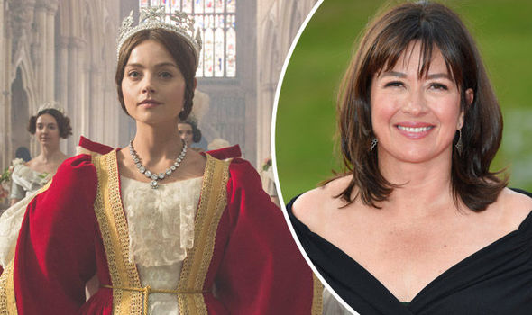
The closing speaker will be Daisy Goodwin, the writer of the hit TV series, Victoria. Daisy also happens to be the great-great-great-granddaughter of Robert Traill, who gave his life trying to feed the hungry around Schull during the famine. He was a complex character: see this post and this one in my series Saints and Soupers. Daisy gave him an active role in the episode in which Victoria finally finds out about the full horrors of the Famine. It was an episode that shocked British people, who had never been taught about the Famine and Daisy will talk about that, writing Victoria and her West Cork connections.

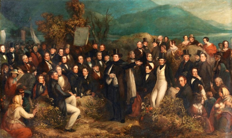
Esteemed local historian Gerald Butler, in conversation with one of last year’s speakers, William Casey, will talk about Daniel O’Connell’s Skibbereen Monster Meeting

This being West Cork, there’ll be lots of food on offer over the whole weekend and music too – I’m really looking forward to the Saturday night concert, exploring the music of Canon Goodman (who is also the subject of one of the talks). Wander over to the website and take a browse through the programme. If you enjoy our blog, you will love this Festival.

Taking us up to the History Festival is the superb Skibbereen Arts Festival. I have rhapsodised about this tour de force of culture and variety in previous posts (see this one and this one) and I feel the same way about the offerings this year.

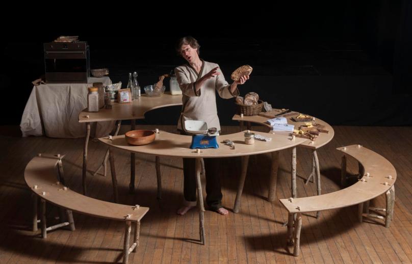
We have tickets to several events and we know we will be dropping in to some of the exhibitions, galleries and shows that are running all over town. I am looking forward to Manchán Magan’s Aran agus Ím (below)- billed as a show that celebrates the Irish language in an engaging, accessible bilingual way, through sourdough bread and home-churned butter and that takes place in a Bakery.

For some time Skibbereen has hosted the Speakeasy Sessions once a month, and there’s a special edition during the Festival. It’s part of a significant Spoken Word programme at the Festival this year. Speakeasy is hosting a Story Slam Competition where 12 people will compete for a prize. One of the judges is our own Cormac Lally, popular local poet: here he is with his Ninja Baby Moves Number 214.

And for something totally different, at the end of the month is the Ellen Hutchins Festival with a brilliant program of events focussed on the natural world of flowers, seaweed and lichens and with lots of stuff for kids. If you’ve never heard of Ellen Hutchins, take a look at my post Ellen Hutchins: The Short and Remarkable Life of Ireland’s First Female Botanist. I wrote it four years ago and in that time the Festival has turned into an annual affair and there have been major exhibitions on Ellen’s life.

Botanist Rory Hodd on an Ellen Hutchins field trip

At about the same time in Bantry is the annual Masters of Tradition Festival, with formal and informal concerts, talks and sessions, many in the wonderful setting of Bantry House. With Martin Hayes as the Artistic Director, this annual festival is always a treat. Here he is playing the Sailor’s Bonnet.

This is actually just a drop on the bucket of all the things going on in West Cork from now until the end of August. I’m seriously going to need a holiday in September! No – wait – that’s the Taste of West Cork Food Festival! I’d better go into training. . . 

A taste of the History Festival

An Excursion to Dunboy

We have often visited the Beara Peninsula: it’s not too far away and makes a good day’s outing for us. Have a look at some recent posts here and here to get the feel of the geography. Yesterday we had a mission – to discover more about Donal Cam O’Sullivan Beare (1561 – 1618) and his connections with Dunboy Castle, over by Castletown-Bearhaven – often known as Castletownbere or just Castletown – in the far west of County Cork.
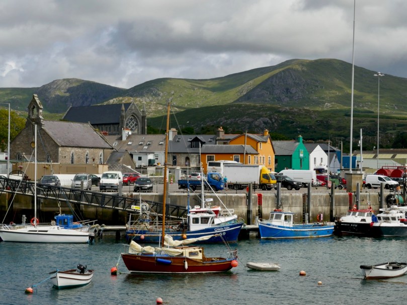
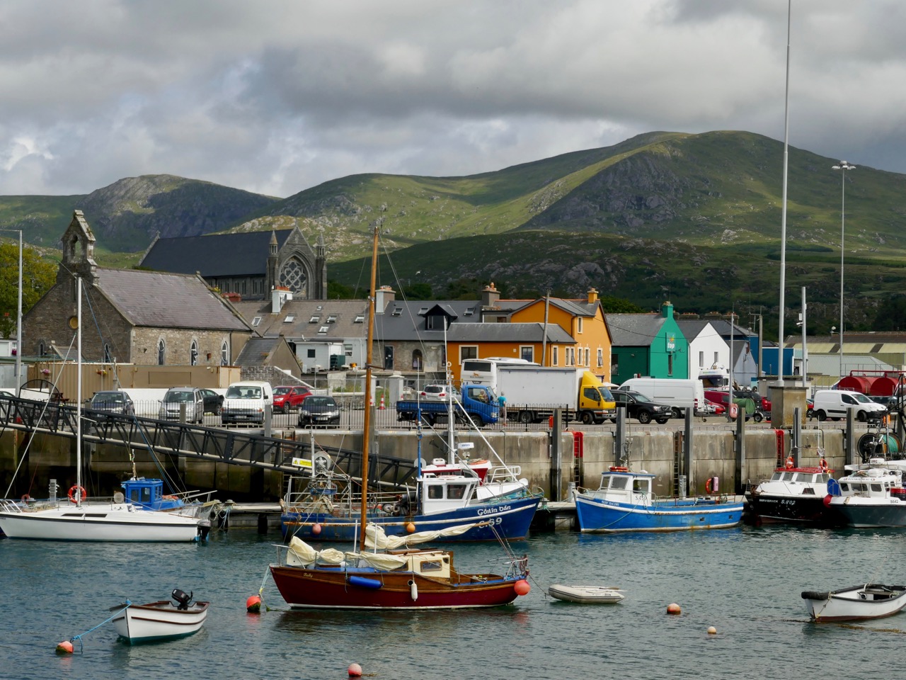
Our first stop was at the bustling harbour of Castletownbere which sits at the foot of the Caha Mountains. …Where land and sea collide, untamed beauty abounds… – that’s the apt heading on the website of the town’s Development Association, and it most certainly seems a lively and flourishing community, a good base from which to explore the wealth of history and archaeology on the Beara. Daphne du Maurier’s novel, Hungry Hill, is set in the area and is a family saga loosely derived from the history of the Irish ancestors of du Maurier’s friend, Christopher Puxley.

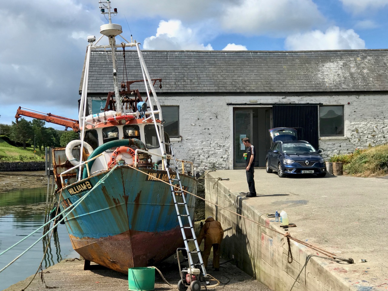
We paused only for a much-needed coffee and a quick look in the Sarah Walker Gallery (precariously and picturesquely situated on the end of the town’s slipway – it’s the white building in the picture above) before setting out to find Dunboy. I had read a little of the history of the place, and knew that it had been a centre of rebellion following the Battle of Kinsale in 1601 – 1602, when allied Irish and Spanish forces were defeated at the culmination of the Nine Years War between England and the Gaelic lordships.
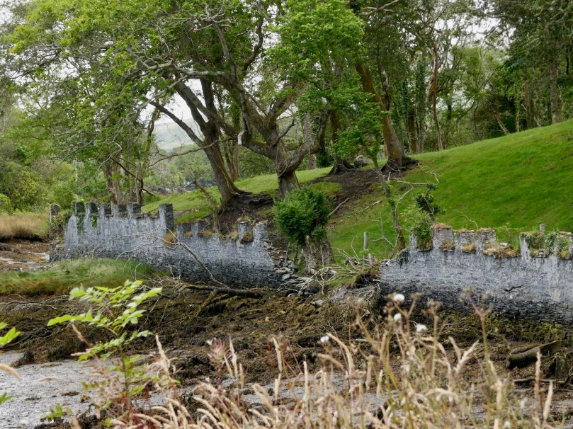
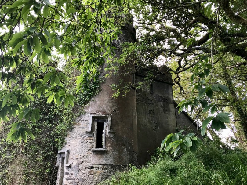
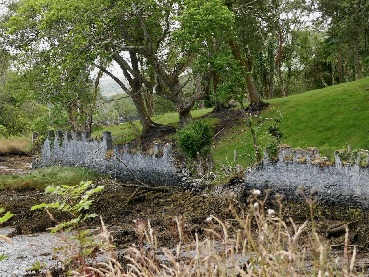
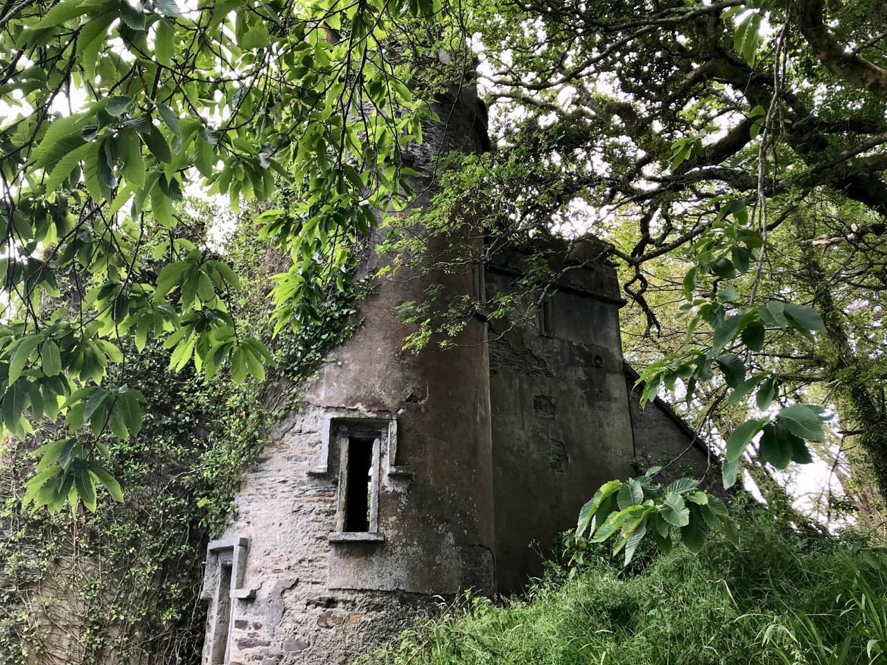
At the edge of the Dunboy Demense are traces of a castellated sea-wall and a gatehouse (above).  The territory was a stronghold of the O’Sullivan Beare clan leader, and was built to guard and defend the harbour of Berehaven. Its presence enabled O’Sullivan Beare to control the sea fisheries off the coast and collect taxes from Irish and continental European fishing vessels sheltering in the haven. It was also a centre for trade to and from the continent. In the aftermath of the Battle Of Kinsale Donal Cam O’Sullivan Beare’s followers retreated to Dunboy Castle, which was considered an impregnable stronghold.

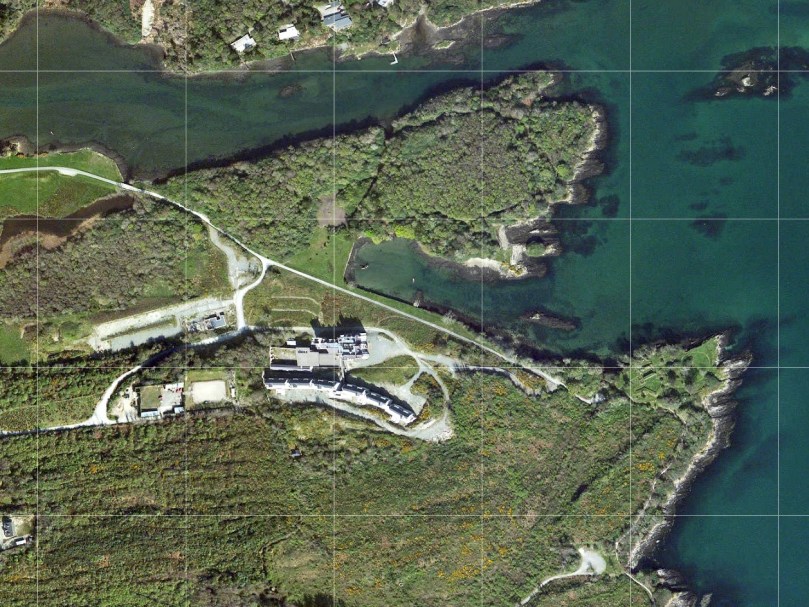
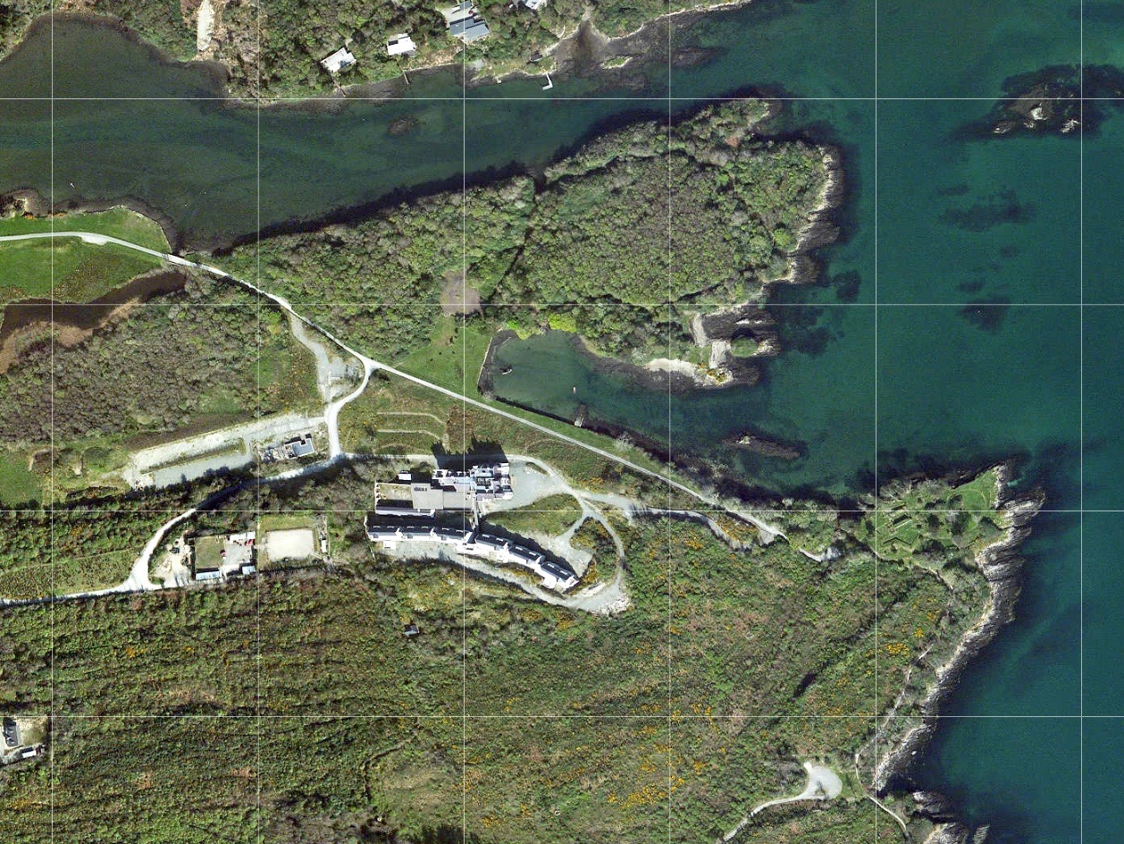
The 25″ historic Ordnance Survey map (upper picture) shows the location of the O’Sullivan Beare fortress, circled in red. Don’t be confused by the ‘Dunboy Castle’ label: this is a later building added to an existing tower house that stood on the hill above the promontory. The estate came into the hands of the Puxley family who invested significantly in the Allihies copper mines in the 19th century. The development in the centre of the aerial view above is Puxley Manor, and is a 21st century incarnation of the huge neo-gothic family mansion created by the family, which was burnt out by the IRA in the 1920s.

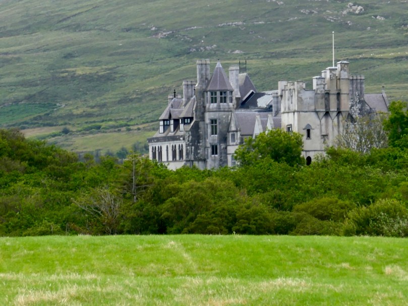
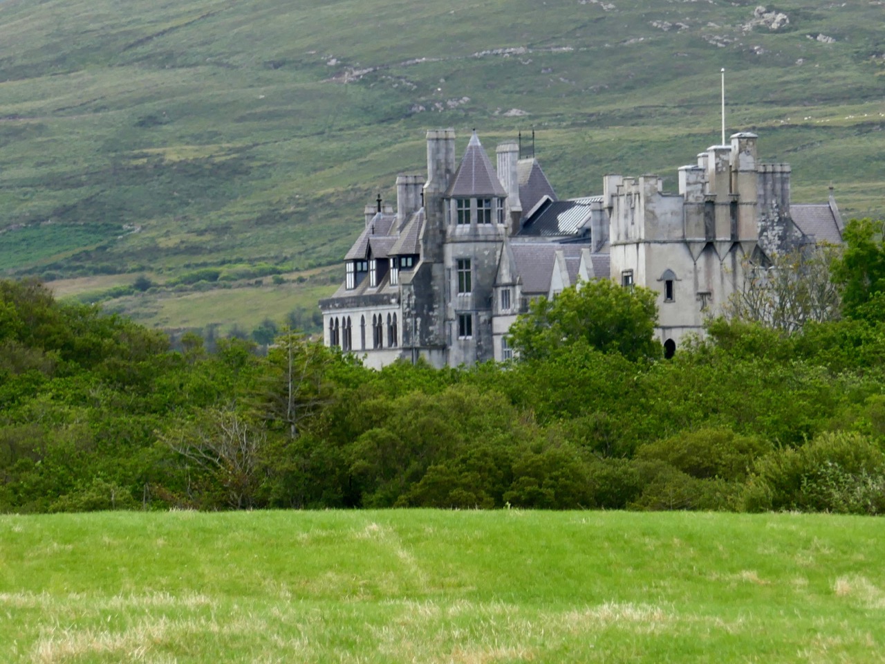
These pictures show the mansion after its destruction and today. In the lower photograph you can see the original tower house in the foreground: the buildings were fully restored as part of a high-profile ‘Celtic Tiger’ project to create a 6-star hotel which could have brought employment and significant economic benefits to the area. Unfortunately the project collapsed before completion, and the future of this decaying leviathan is uncertain.
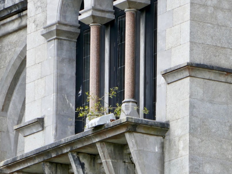
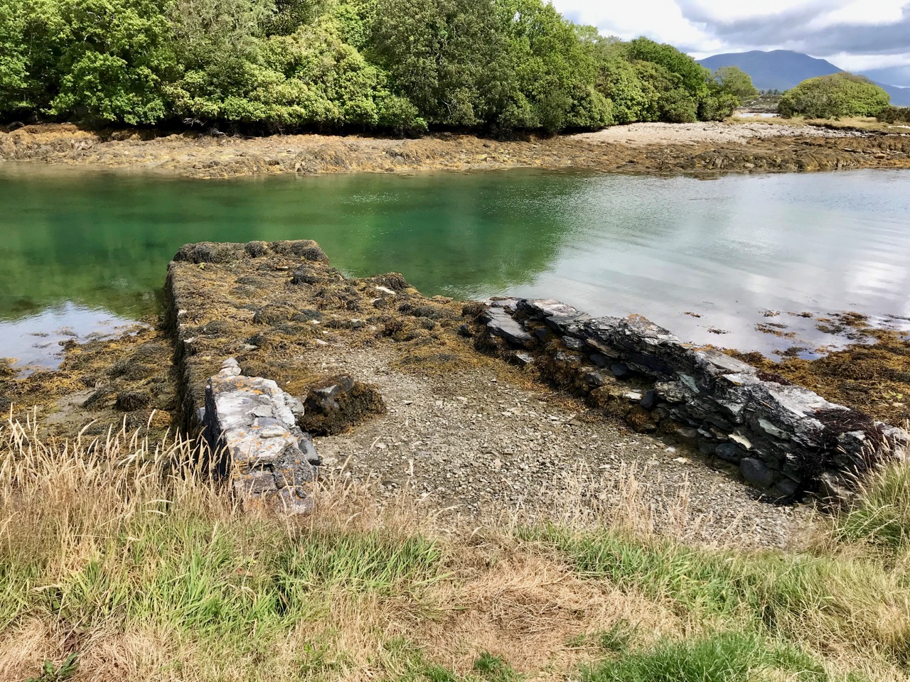
We could only look in awe at the very evident and lavish quality of the restoration and development, even in its present state, and speculate how its fortunes might have fared in more stable times. But all this was a bit of a diversion, as our goal was a much less audacious – but far more historically important – site: the original ‘Dunboy Castle’. We followed the trackway along the inlet, which looks as though it was artificially constructed to form a quay serving the demesne.
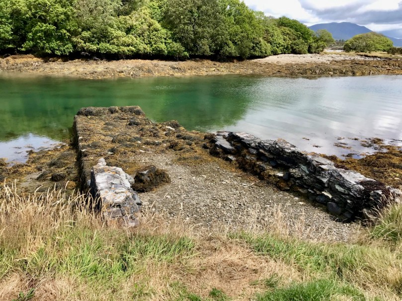
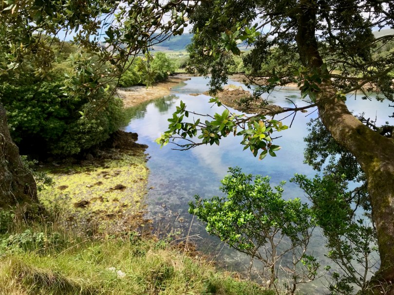
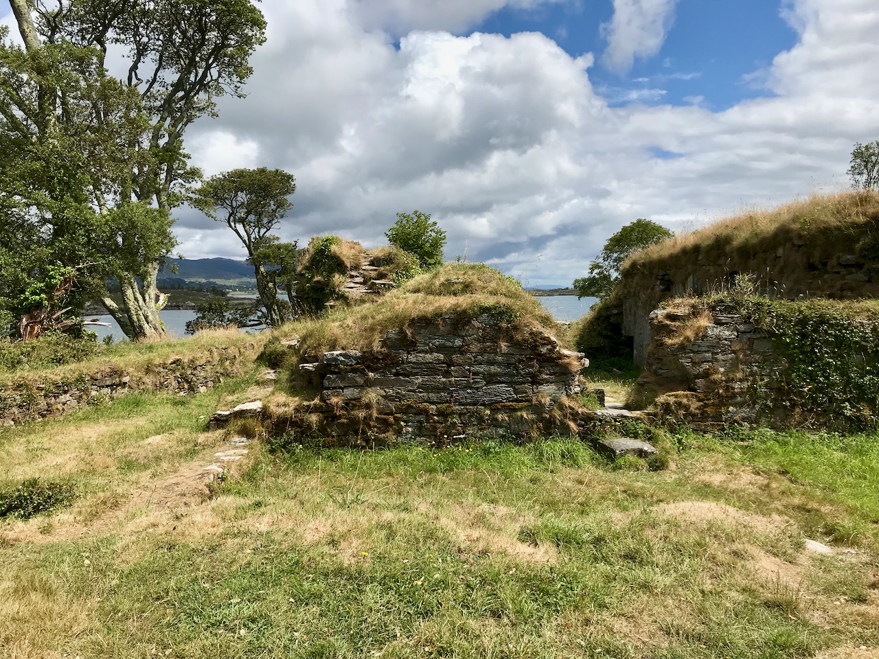
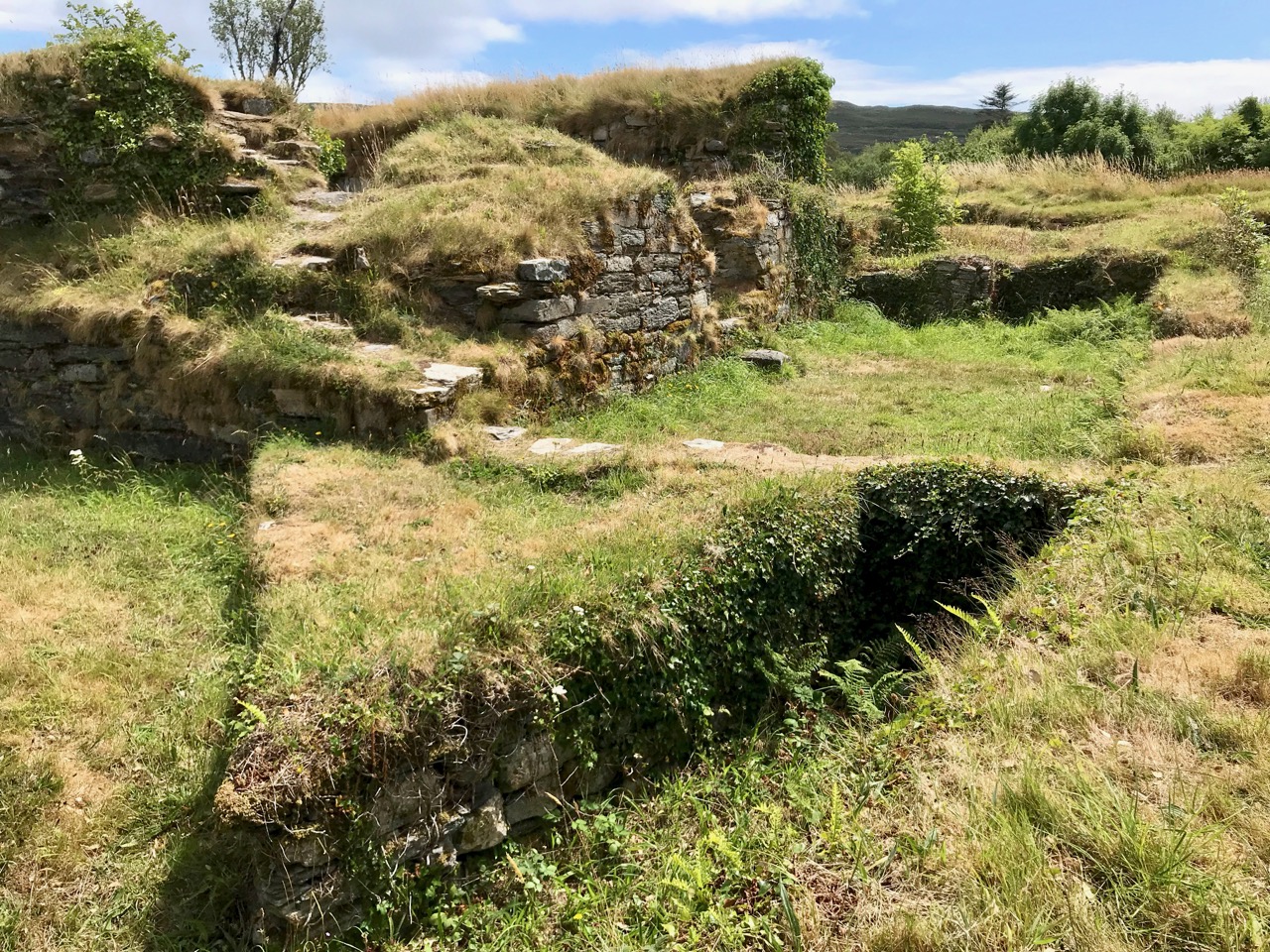
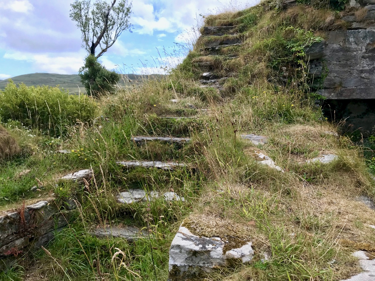
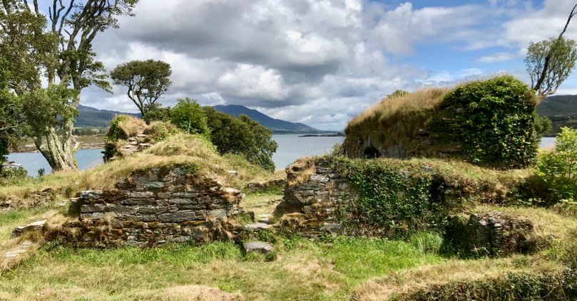
The ruin itself is unassuming: thick stone walls barely a few metres high. However, the ground plan is clear to see – a typical ‘tower house’ design with splayed openings and steps contained in the thickness of the outer walls. Also visible in the surroundings, however, are the clear ‘star’ shapes of an enclosure, complete with salient angles. These outer defences, reminiscent of ‘star-shaped forts’ evidently date from Cromwellian times, constructed after the castle was destroyed.
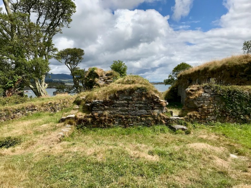
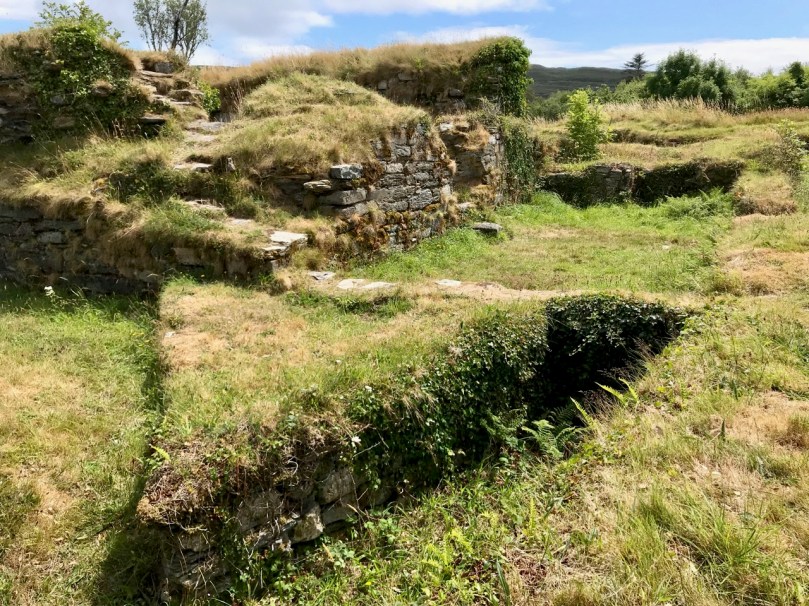
These ruins conceal an unhappy tale. At Kinsale the clan chiefs had been joined by a large force of troops sent by King Philip III of Spain, who considered that a federation with Ireland would assist his aspirations against Elizabethan England. After the surrender, a number of O’Sullivan followers retreated to Dunboy, where they found the small Spanish force stationed there  preparing to hand the castle over to the queen’s Lord Deputy, Mountjoy. O’Sullivan overpowered and disarmed the Spaniards and later released them to return to Spain, having kept kept all of their arms, ordnance and munitions. Inevitably, an English force under George Carew set out for Dunboy: it is said that this force numbered between 4,000 and 5,000 troops. O’Sullivan Beare established defences at the castle, but set off himself with most of his own army to consolidate in the north of the Beara Peninsula. Only 143 of his men were left behind at Dunboy, together with Friar Dominic Collins to look after their spiritual welfare. The siege of Dunboy began with an artillery bombardment by land and sea. Owen O’Sullivan of Carriganass, a cousin of Donal Cam, had allied himself with the English and informed them of a weak point in the castle walls. The guns were directed to that point, and the walls were eventually breached. After a ten day siege, Dunboy was reduced to the ruin we see today.

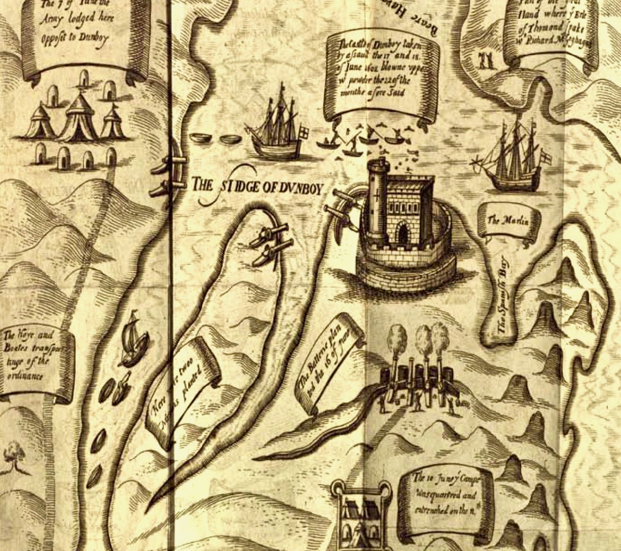
Above is a wonderful graphic illustration of the Siege of Dunboy Castle from Pacata Hibernia or A History of the Wars in Ireland during the Reign of Queen Elizabeth first published in 1633. Only 72 of the Irish defenders survived the siege: they were all hanged, including Friar Dominic Collins. Most of the hangings took place in the bustling square of Castletown-Bearhaven, close to where we had enjoyed our coffee at the start of our excursion.
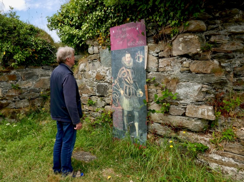
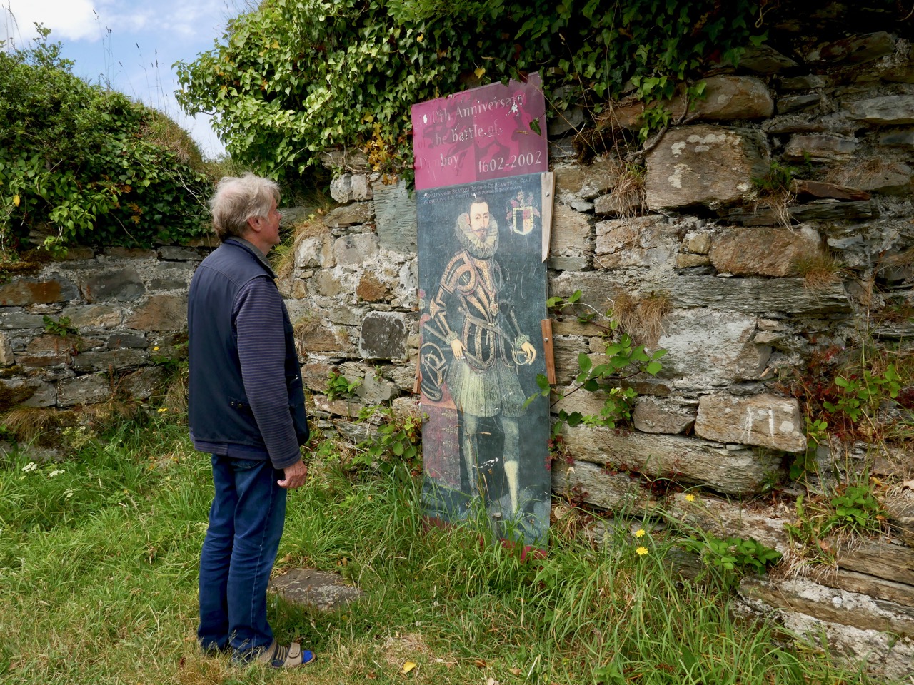
Here I am meeting Donal Cam himself in the ruins of his former stronghold. My account of the Siege of Dunboy is a very condensed version. Much more has been written about the details. As for O’Sullivan Beare, he eventually embarked on a long march to Leitrim with a thousand of his followers – but that’s a further unhappy story, best kept for another day!
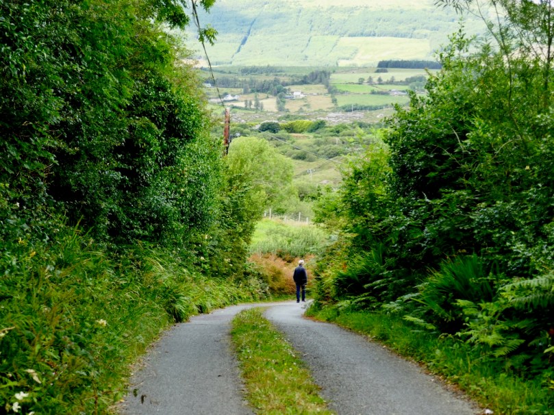
Dunboy Castle and its immediate environs are publicly accessible and there is plenty of parking within easy reach. We finished our day on the Beara by following a rural loop walk from the castle ruin back to the gatehouse – about 5 kilometres in idyllic surroundings.
Mapping West Cork, Part 2: John Speed

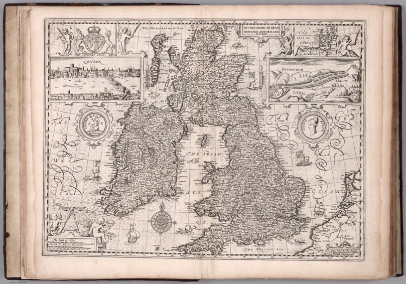
John Speed was one of the greatest of Britain’s map-makers, but it is unclear how much actual original cartography he did. Much of the information in his maps appears to be based on Mercator’s maps, which we featured in Mapping West Cork, Part 1. What does appear to be original, as there are no previous records of them, are the city maps, so we can be reasonably sure that these were done from his own calculations – laid out by paces rather than by measuring implements.

Who was John Speed? Born in 1551, he trained as a tailor but his passion was for maps and he finally worked his way into a full time position as a historian and geographer, even being allocated a room for his research by Queen Elizabeth I.

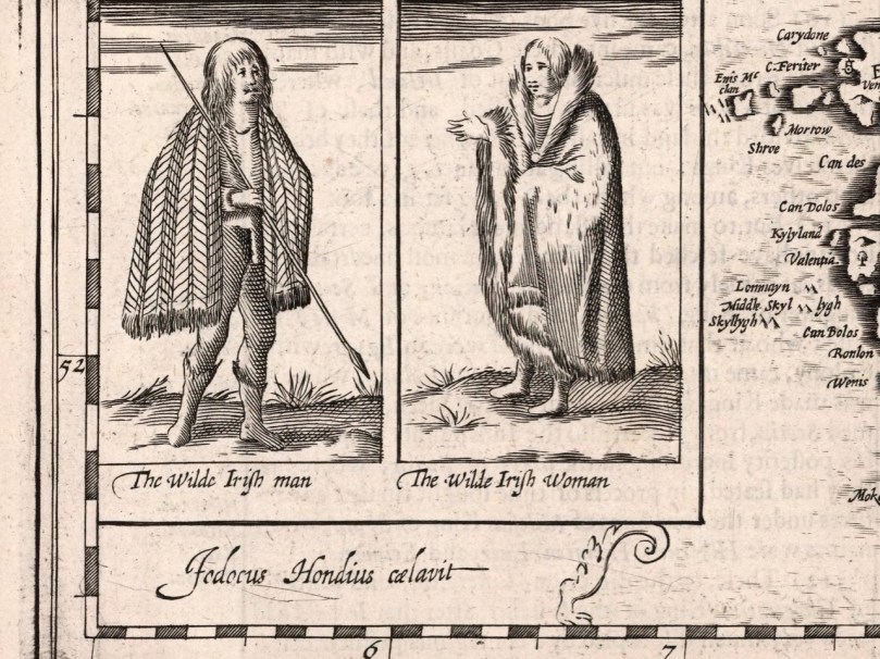
His magnum opus was The Theatre of the Empire of Great Britaine, published in 1611 and 12. This marks them as later than Mercator’s maps, but earlier than Joan Blaeu’s (see Part 1).  They were also drawn with the collaboration of Iodicus Hondius, who had drawn Mercator’s, which also explains the similarities to Mercator’s maps.

The edition of Speed’s atlas that is most often referenced is the one published in 1676, and that is the one that the wonderful David Rumsey acquired and uploaded to his map collection site. Until I read the fine print, I hadn’t realised that the maps in fact dated to 1611/12 and therefore were older than the Blaeu atlas.

This is the period immediately following the Battle of Kinsale in 1603, which marked the decisive end to the Nine Year’s War, and to the old Gaelic way of life. The maps were also made in the period after the failed Desmond Rebellions of 1569–1573 and 1579–1583. They still name the great Irish families rather than the English planters who would so totally supplant them over the course of the next century. In this regard, it is an important record of what was happening on the ground in 1611.

Along with his Atlas he produced a work that combined history and geography – the Invasions of England and Ireland, in 1601 and 1627. He was, of course, a devoted subject of the Queen (‘her sacred maiestie’) and his political opinions tended to the conservative, if not puritantinical.

This map is accompanied by the history of invasions, with suitable illustrations. I am particularly taken with the depiction of ‘Desmond beheded’

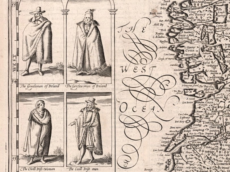
True to his day, he depicted the Irish quite differently from the British – the lowest grade of English person was the Countryman or Country woman, whereas in Ireland it was the Wilde Man or Woman.

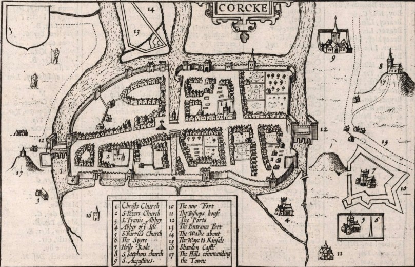
The city maps were all new and it seems that Speed, with one of his sons, actually travelled to the cities he includes in his atlas and paced out the distances, drawing the maps based on these calculations. They are a unique and invaluable record of a time when Ireland had walled cities, especially given that so few intact stretches of those walls remain. (We’ve visited some impressive remains, though – see Youghal’s Walls and our post on the walled town of Fethard.)

The Dublin map is from a later edition

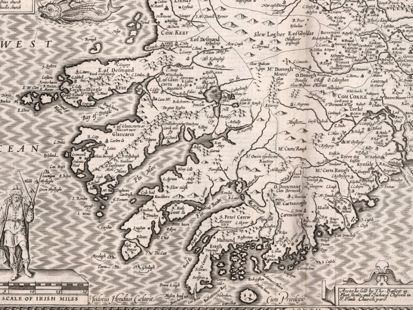
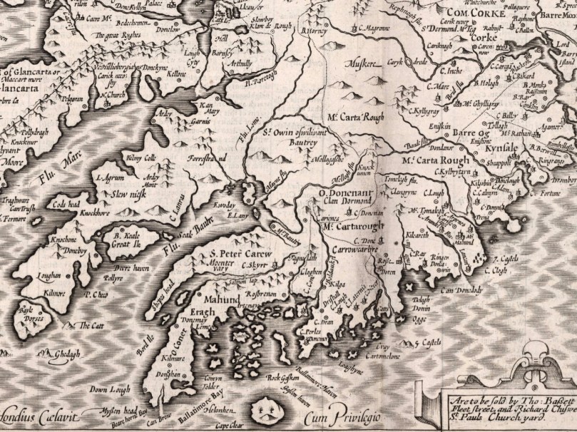
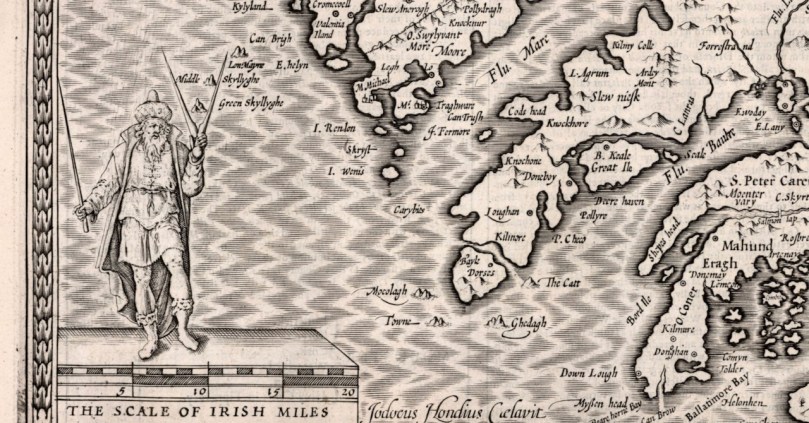
The actual physical depiction of the land is recognisably based on the Mercator map but there is more information now about locations and families. I was delighted to see Rossbrin show up (Roßbrenon) along with Ardintenant (Artenay), since it is this castle that we look across to from our home. Mizen Head and Brow Head are both marked, and the Sheep’s Head is also noted as Moentervary (Muintir Bheara is the Irish designation for that Peninsula).

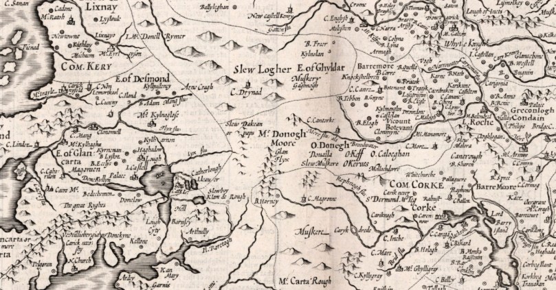
Besides the O’Mahonys, the O’Driscolls, the McCarthys, the O’Donovans, Sir Peter Carew occupies a chunk of land. Someday I will write about his claim to that land and the lengths he went to to secure the deeds to it. But perhaps I shouldn’t be too exclusive to West Cork: below is a section of North Cork and part of Kerry in 1612. What can you see?

Maps drawn by a colonising power, have an agenda far beyond simply charting the territory. John Speed’s became the defining maps of the expanding British Empire during the seventeenth century and indeed they influenced British people’s perceptions of the world until well into the eighteenth. For us in Ireland, and in West Cork, they are an invaluable social document.

Mapping West Cork, Part 1

Industrial Archaeology in Crookhaven

Roaringwater Journal has featured Crookhaven many times. This far south-western outpost of Ireland has layers of history: thousands of years ago people lived in this area and made marks on the rocky landscape while countless generations of seafarers forged a ‘haven’ from the naturally sheltered ‘crook’ of land upon which the settlement is based. Even into the twentieth century pioneering technological advances were being made in Crookhaven: in the early 1900s Marconi sent some of the world’s earliest radio communications from Brow Head to vessels in the Atlantic shipping lanes.

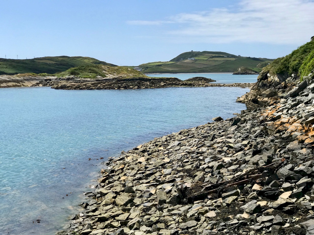
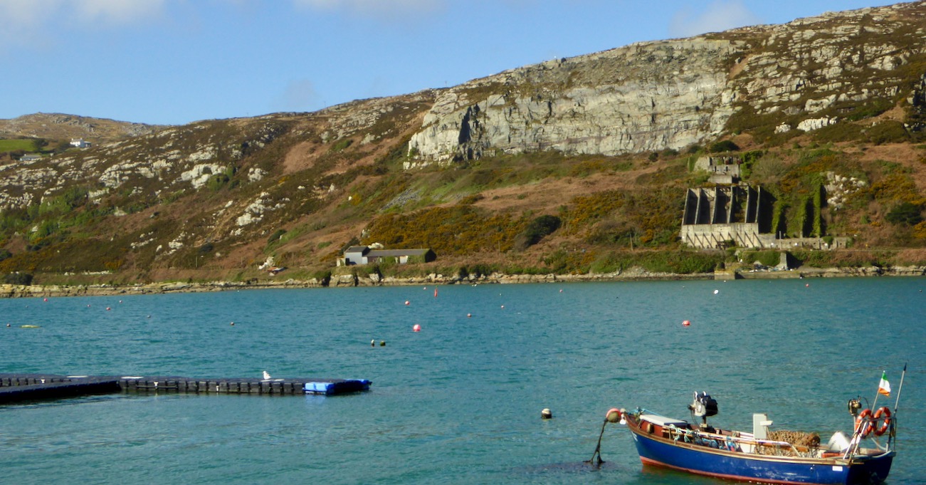
Header – the ‘old quarry’ dominates the landscape to the north of Crookhaven Harbour. Above – looking across the harbour from the ‘quarry quay’ towards Brow Head, one of the scenes of operation of Marconi in Ireland

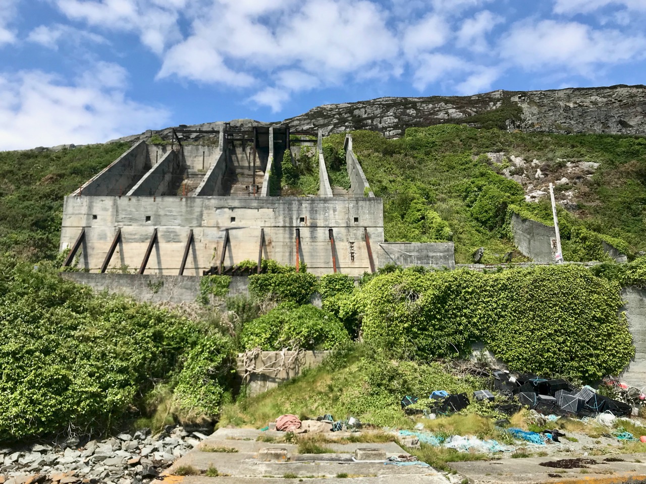
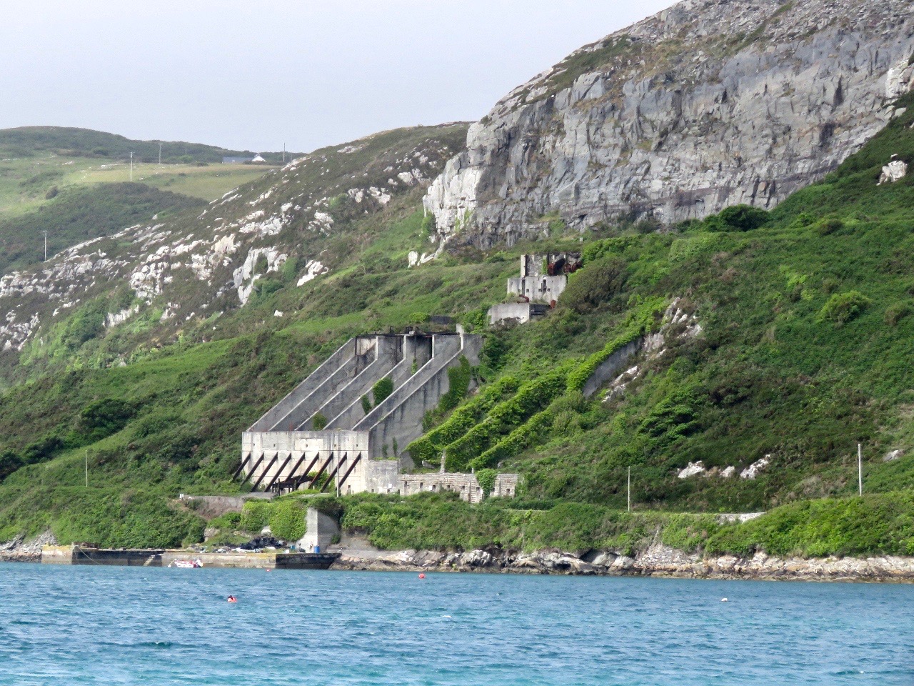
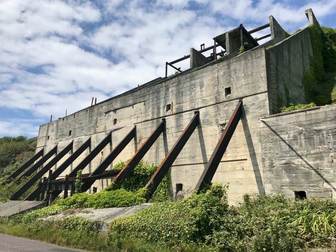
I am fascinated by all traces of industrial history: for me it’s ‘modern archaeology’: some of it might survive long enough to puzzle historians of the far future. I couldn’t ignore, therefore, the huge steel and concrete structures which line the R591 road which approaches Crookhaven when travelling from Goleen. They are built into the hillside above the road, and tie in with a substantial stone quay which has been constructed below it.

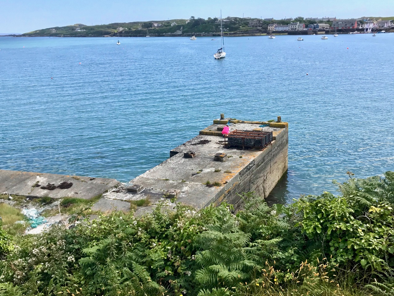
The quay which was presumably built to serve the quarry to the north of Crookhaven: the village can be seen across the water

Looking at the construction of this quay, and particularly the wear on the masonry steps leading down to the water, it would be reasonable to assume that the quay predates the concrete and steel structures which abut the road above it – by a long way. You might suppose that such significant edifices would have a history attached to them which would be easy to find, either from local informants, or in written or electronic record. However, I have so far drawn a blank. Well – not quite: there are countless identical references in contemporary accounts of Crookhaven to ‘…the old roadstone quarry on the side of the mountain, which provided metalling for the roads of Wales until 1945…’ I did find one variant, a caption to a general view of the area: ‘…Looking up to the roadstone quarry along the north shore of Crookhaven Harbour. The quarry was a source of gravel for Welsh tarred gravel roads until the 1930s…’

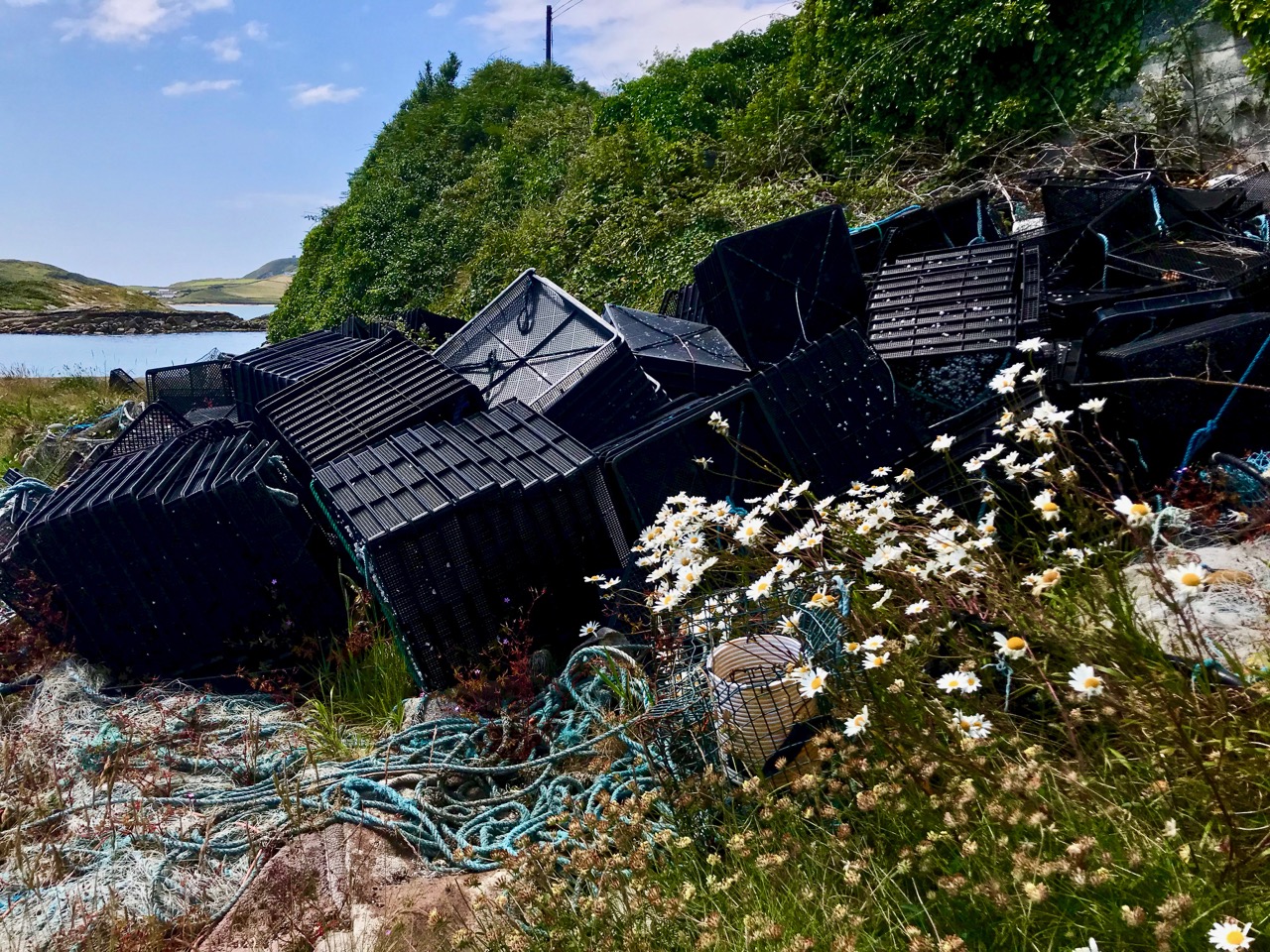
The quay below the ‘roadstone quarry’ is a paradise for industrial archaeologists and photographers! It must have had generations of users, up to fairly recent times, all of whom have left behind traces of their presence, but no solid history. I’m hopeful that readers of this post might be stirred to recall stories or memories – or even point me to some documented history to explain the provenance of this little piece of the complex West Cork jigsaw. *In fact, I have received information since this post was published – see the last paragraph.

I’m borrowing this photograph of the Crookhaven quarry from the log of the MV Dirona, with thanks to Jennifer and James Hamilton, who hail from Victoria, British Columbia and are currently cruising the world in their Nordhaven 5263 vessel. They explored the south west coast of Ireland in June 2017 and, from the water, took this perfect view of the quay, the ‘roadstone quarry’ and the mountain face above it, from which the stone has been extracted. The rock face could have been worked for stone before the 20th century, although we don’t have hard evidence for this: in September 1846 a road was proposed between Rock island and Crookhaven, and the county surveyor provided an estimate of £1,857. Prior to this, the road which had been built by Richard Griffith, civil engineer for Munster, extended as far as Rock Island, and passage from there to Crookhaven itself could only be made by water. The 1846 road is today the R591 which passes below the quarry. It would be reasonable to suppose that locally available stone suitable for roadmaking could have been used, and the quarry may have had its origins at this time. The construction of the adjacent quay could have been contemporary with this early use of the quarry, but the huge concrete and steel structures we see today are certainly an incarnation of the quarry workings in the early 20th century.

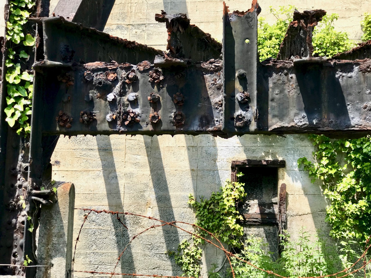
One of the fascinations of old industrial sites is the way they are taken over by nature if left relatively undisturbed. This one is no exception. There is a monumentality here which is being eroded and softened as time goes by. What does the future hold? Interestingly a -presumably serious – proposal was made in a not-too-long-ago iteration of the Goleen & District Community Council Development Plan:
PROPOSALS

2.24 The old roadstone quarry-works at Crookhaven Harbour should be developed as an amenity – perhaps a hotel with a restaurant with observation deck at the top…

Hmmm… notions of grandeur there, perhaps – and little regard for practicalities, but it shows the power of imagination! I think it’s far more likely that the area will remain in its present state for many years to come and, perhaps, attract a level of ‘industrial architecture tourism’. Incidentally, it’s not too far away from the site of a fish palace run by William Hull and the Great Earl of Cork in the early seventeenth century: the remains of this are there to see to this day, although almost entirely returned to nature.

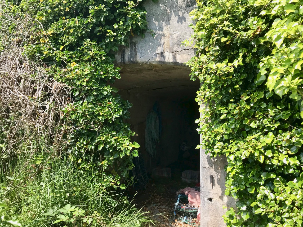
Below – a now impassable tunnel under the road connects the quarry workings with the quay; nature entangled with the leftovers of human activity

NOTE: in 2020 our friend, local historian and expert photographer John D’Alton of Schull has contacted Roaringwater Journal with some updated information about the Crookhaven quarry. John tells us that the quarry was never owned by the Roadstone Company. That was incorporated in 1949 by the Roche brothers who operated out of Dublin from the 1930s, but never operating this far south and west. John also adds that the company that operated the Crookhaven quarry was the Browhead Granite Company Limited, incorporated in London in 1917. The quarry opened for business in 1928 and closed in September 1939. It was this company that contracted for the construction of the impressive structure still there today. The company exported stone to various ports in England in particular, London especially, and Ipswich, among others, supplying stone for road surfaces. The Granite company was a successor to the Browhead Copper Mining Company that despaired of finding copper in mineable quantities in far West Cork. Interestingly, the structure is one of the earliest examples of this type of reinforced concrete construction in the country, the original Mizen (Cloughan Island) Bridge being another.

Many Thanks, John, for finding and sharing such detailed information which has been lacking until now!

Endpiece – the old workings and quay are directly opposite the centre of Crookhaven – here’s a view towards the quarry from the village:

Mapping West Cork, Part 1

Old maps are magical places to get lost in. Pouring over them, trying to identify what I know now, attempting to look at the territory with a seventeenth or eighteenth century mindset – well, several hours have gone by and I realise it’s dinner time. I’m going to share some of my favourites with you in a couple of posts. Mostly, the maps I am using are from the marvellous David Rumsey Map Collection where the maps are free to use for non-commercial use under the Creative Commons license. We are very grateful to you, David Rumsey – what a service to mankind!
The first map here is by the famous Gerhard Mercator (1512-1594) and Iodocus Hondius (1563 to 1612) and it was published in an Atlas in 1607, after Mercator’s death. The map, therefore, predates the Atlas and was probably done in the late 1500s. The notes that go with the map tell us about Mercator:

Gerardus Mercator can confidently be called the greatest cartographer of the sixteenth century, he helped to establish Amsterdam as the leading center of 16th Century cartography. Gerard Mercator originally a student of philosophy, became an expert in land surveying and cartography, as well as a skilled engraver. His first maps were published in 1537 (Palestine), and 1538 (a map of the world). His most famous contribution to science is a technique of rendering the globe on a flat surface. In 1569 he published his masterpiece, the twenty-one-sheet map of the world, still known as “Mercator’s projection.

We can recognise some things in this map and not others. Croke is Crookhaven, Doun Logh is Dunlough or Three Castle Head and Doun boy is Dunboy Castle home of the O’Sullivan Beares. We can also see Roße – this is Rosscarbery, with the symbol of a church. But after that I am stumped – I am sure our clever readers will be able to identify much more.

The second map is from 1655 and it’s from Joan Blaeu’s Atlas Major. Blaeu, a Dutch cartographer, lived from 1596 to 1673 and this map is from his Atlas Maior of 1665, considered one of the greatest achievements ever in Atlas publishing. The first thing we notice, of course, is that it’s in colour. I’m not sure if this was original, added when the Atlas was created, or added later. If original, each one must have been hand-coloured.

There is much more detail now, and more recognisable elements. It’s a wonderful record of what the major sites were then – sites which nowadays hardly exist, or exist as ruins. Artenay, for example, is Ardintenant Castle, now one of the ruins of what was once a string of O’Mahony Castles. Ardintenant was the home of the Taoiseach, or clan chief, which is why it would be marked on the map. Other O’Mahony Castles are Dunmanus (Donemay) and Dunlough (Dow lough). The chief residence of the O’Driscoll clan is marked as C Perles – to this day, Baltimore is named in Irish Dún na Séad, Fort of the Jewels. Territories of the McCarthy’s, the O’Donovans, Sir Peter Carew and O’Mahonys are given, but also an O’Coner clan, about whom I have no knowledge.

What else do you recognise?

There are many more maps to explore but not all are free to download. One of the most intriguing is Jobson’s map of Munster, done for Lord Burleigh in 1589 and collected by George Carew. Although I can’t reproduce it here, you can view the complete map in the Trinity Digital collection. I can show you here a small section that I came across elsewhere – I like this because it shows the Sheep’s Head with the word ‘Rymers” across it. This, of course, is a reference to the O’Daly family, hereditary bards to the O’Mahonys and other families, and who had a Bardic School on the Sheep’s Head.

Next time, the maps get more detailed still…

Mapping West Cork, Part 2: John Speed