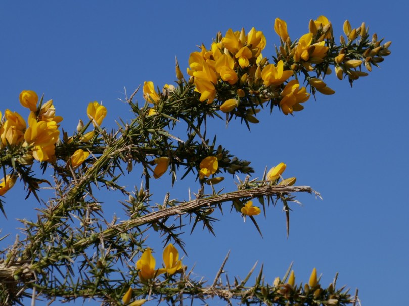
Mizen Magic 10: Sailor’s Hill

Fancy a walk? One with just enough elevation to get the heart going and with the reward of spectacular views at the top? It will take about an hour, maybe a bit longer if you stop to chat, or just gaze.

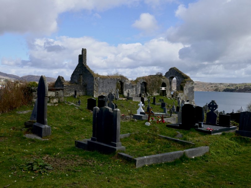
We’ve mentioned Sailor’s Hill before in the course of other posts – this one and this one. But it deserves a post of its own, because it’s a complete experience. Start from Schull and walk out along the Colla Road until you get to the old St Mary’s Church and graveyard. The National Monuments listing tell us that this was originally a medieval structure, although what we see in ruins now is mainly an eighteenth century church, situated in a picturesque burial ground. Turn right at that point.

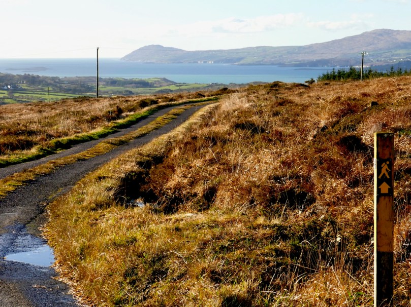
You will notice the waymark signs. This is one of the newer extensions of the Fastnet Trails, and an initiative of a committed group in Schull. The walk up Sailor Hill is actually part of a larger walk, the Colla Loop – we are planning to do that one soon but only had time for this stretch of it today.

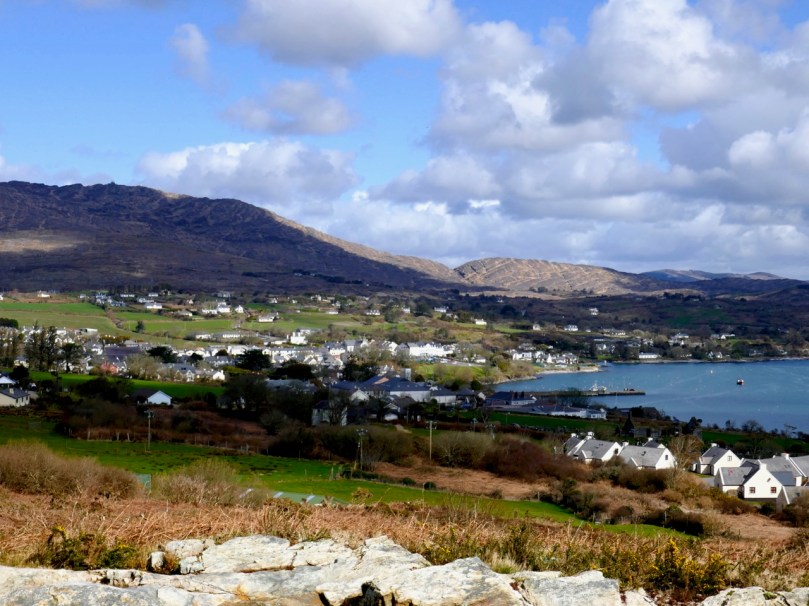
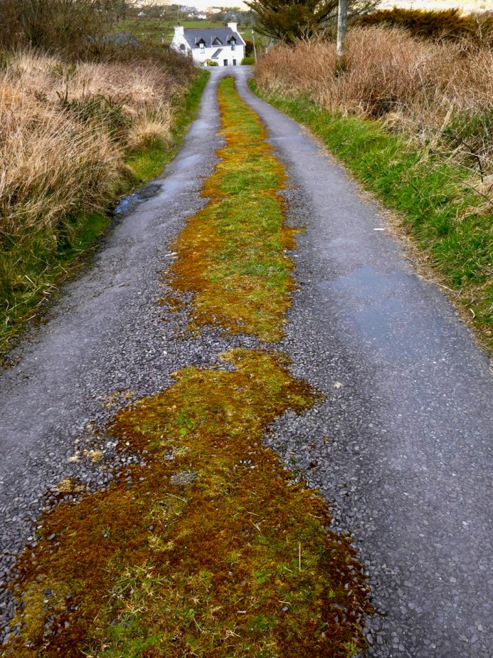
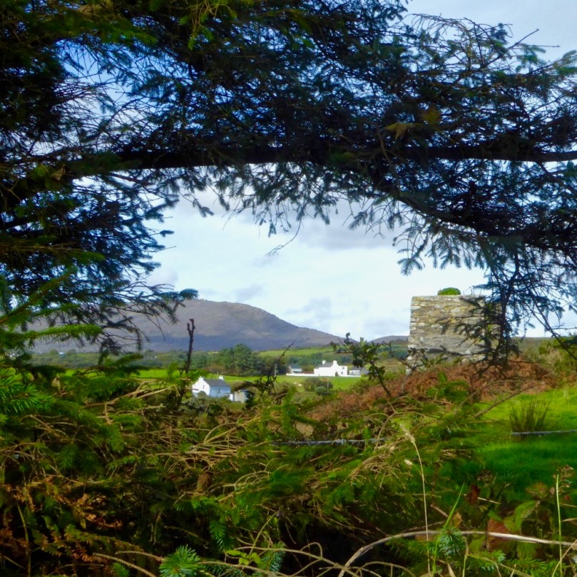
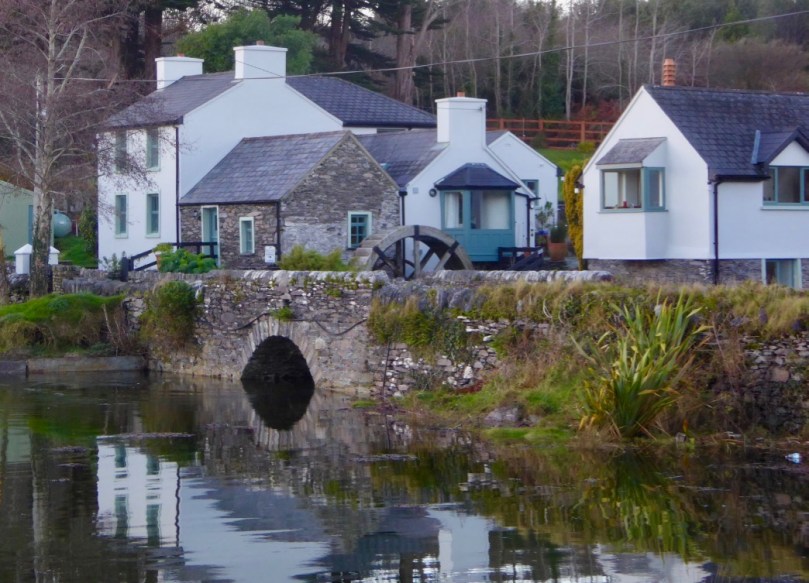
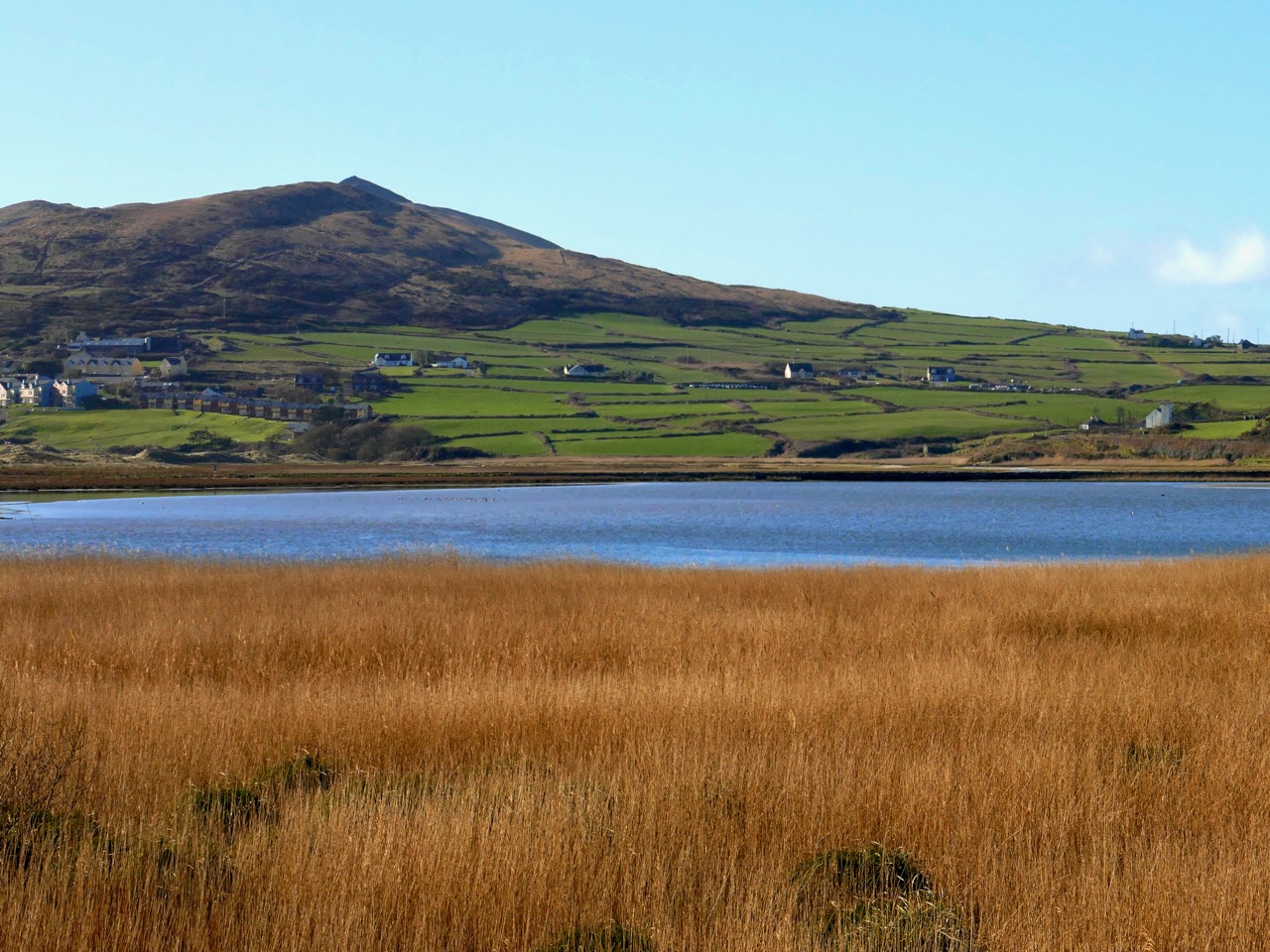
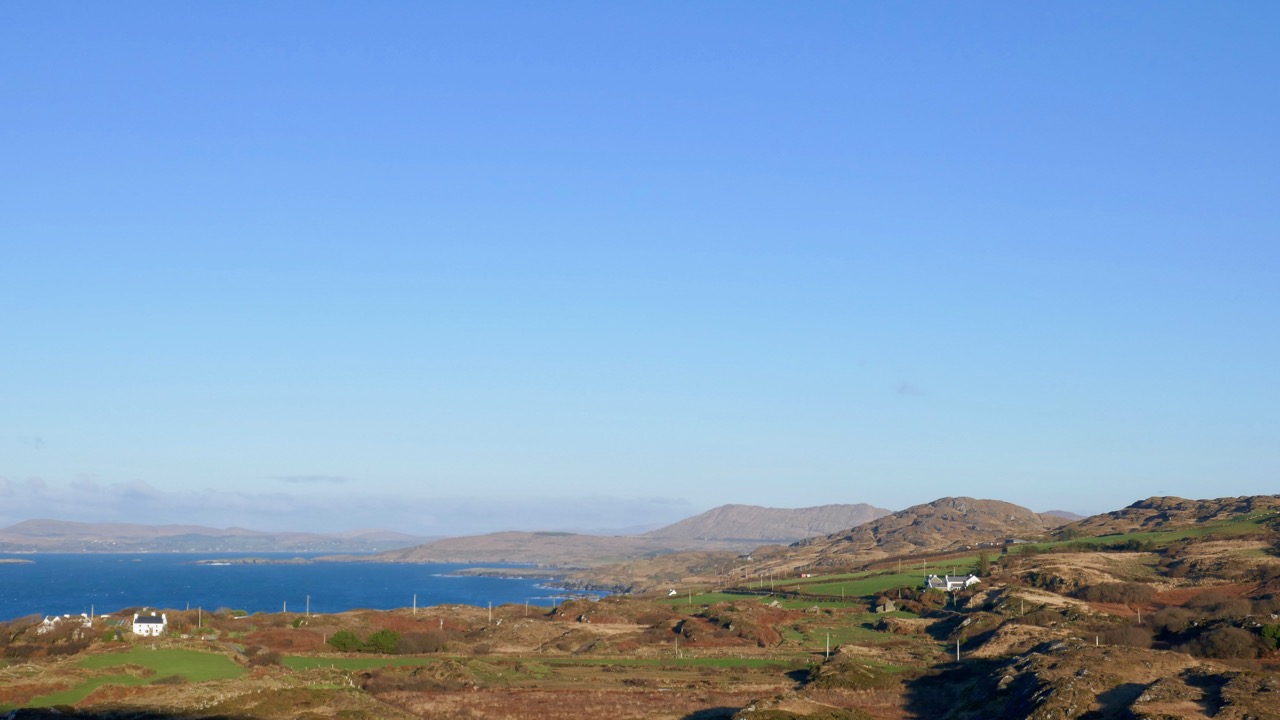
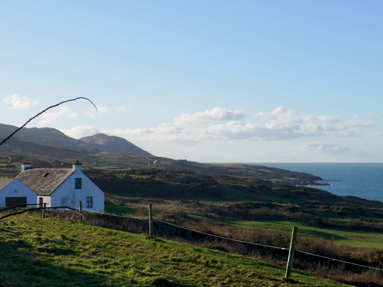
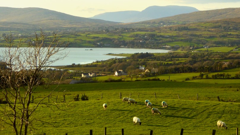
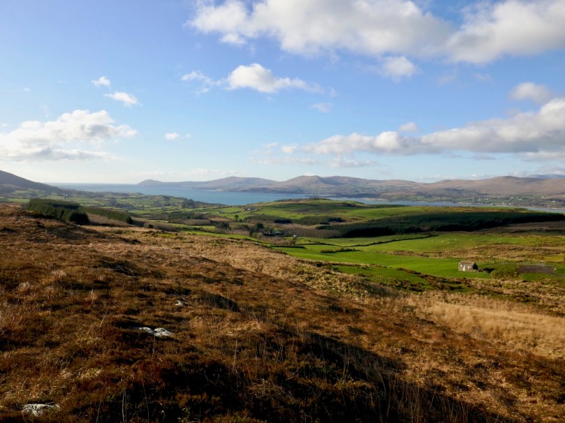
The road meanders gently upwards. Take the first left and then the next left. Views of Schull Harbour start to open out as the road rises. Looking back, you can see how Schull nestles at the foot of Mount Gabriel (see the photograph at the top of this post).

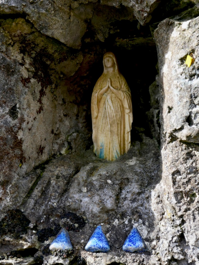
A tiny shrine in a gatepost

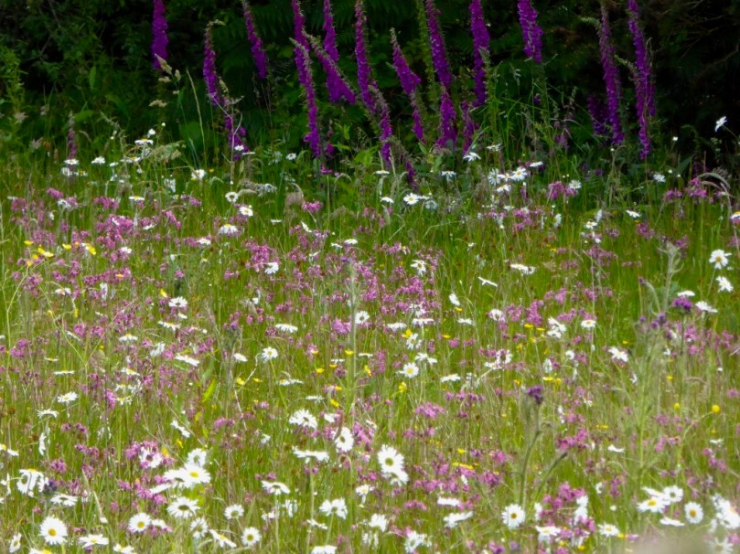
Later on, this boreen will be heady with Foxglove and Loosestrife and Oxeye Daisies, and later still the purple heather will dominate, but this is early spring and it’s been a long cold winter. 

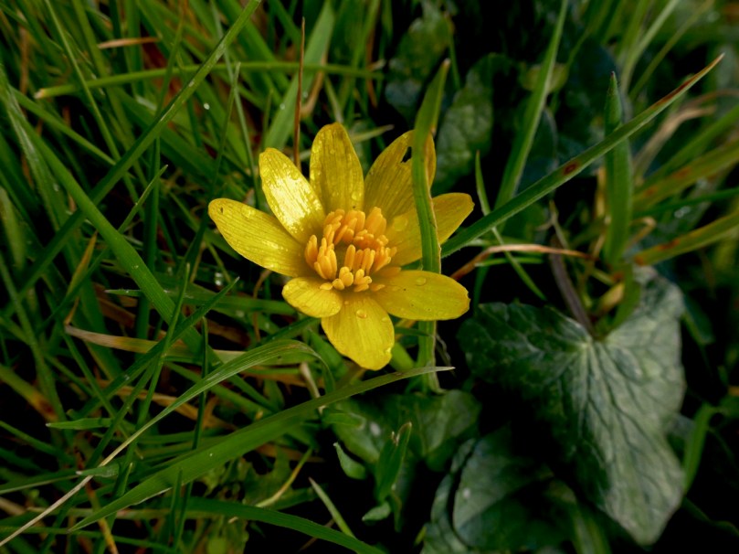
Everything is late this year, so I am happy to see the ever-reliable Celandine in profusion.

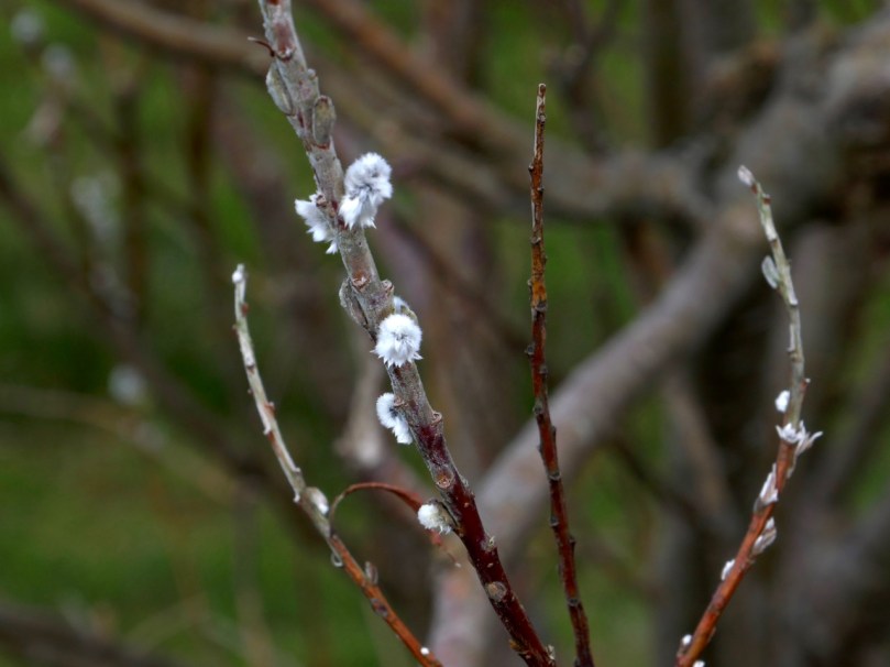
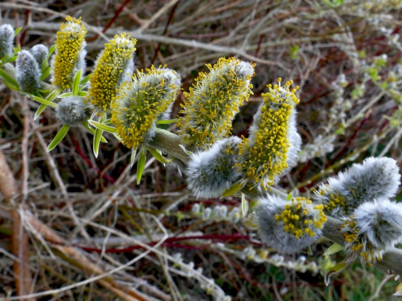
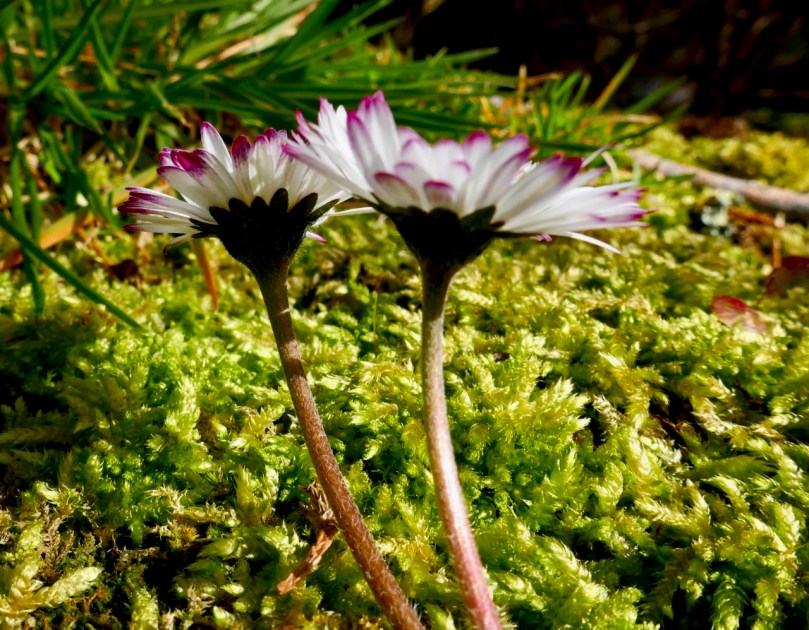
The willows are starting to bud out too, but apart from that, it seems that dandelions and lawn daisies are the only wildflowers brave enough to flourish along the way. Not that we disdain these humble flowers – they provide early and important nourishment for the insects and the bees. Must feed those pollinators!

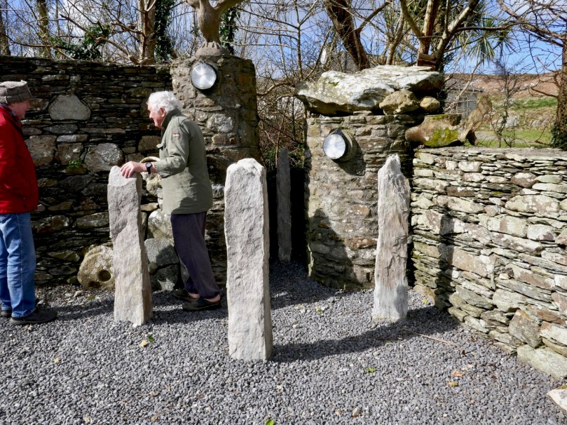
Connie and Betty Griffin have built a house with magnificent vistas near the top of the hill. They never stop adding to it, Betty with flowers and Connie with quirky additions, sculptures and walls. This time, he showed us his Sailor Hill Newgrange, a nifty arrangement of standing stones that respond to the rising sun by capturing the morning light in a stone recess.

Connie demonstrates his sun calendar to Robert

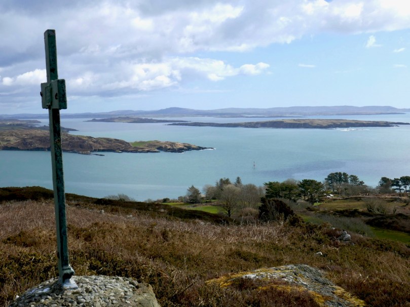
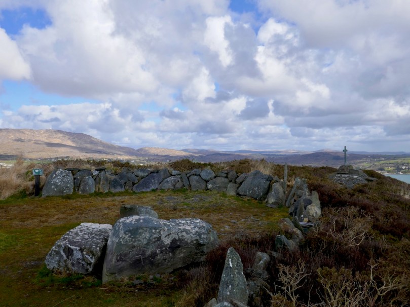
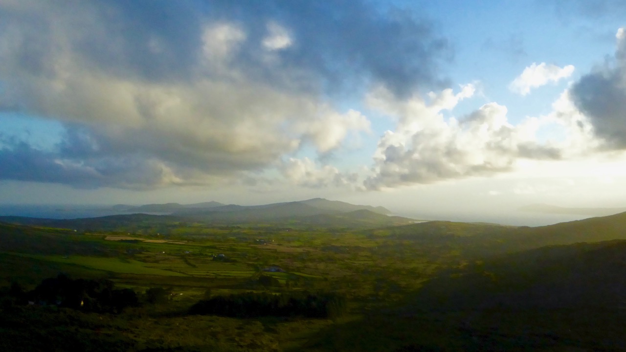
Up to the top then, and there it is – a breathtaking panorama that encompasses the whole of Roaringwater Bay and Long Island Sound to the south, and Mount Gabriel and its foothills to the north. Cape Clear, the Fastnet, Sherkin Island and all the smaller islands are laid out in front of you.

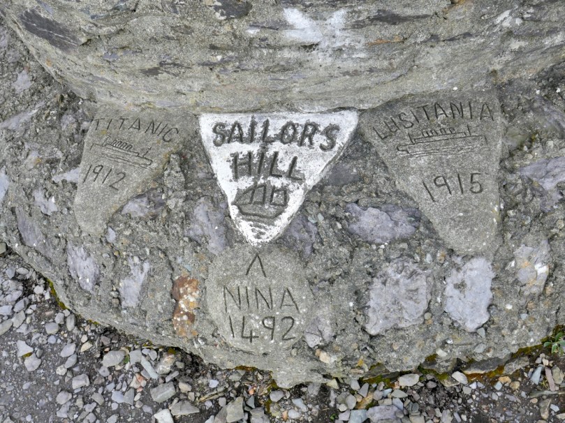
And there’s a cross and inscriptions, so you begin to realise that this site is about more than those views. Connie, who designed and built it, wants us to think about those who lost their lives at sea. It’s his own personal mark of respect and a reminder to us in the midst of all this grandeur to take a moment to contemplate on the power of the ocean and the fleeting nature of life.

I had to look up The Niña, 1492, and of course it was one of Columbus’ ships. He took the Santa Maria, the Niña and the Pinta on his voyage to the New World, but the Niña was his favourite. To learn why, take a look at this. But why is it here? Well, I’m not sure, but there is a tradition around here that Columbus may have visited West Cork on his way. His last provisioning stop may have been with the hospitable, learned and Spanish-speaking Fineen O’Mahony, Scholar Prince of Rossbrin

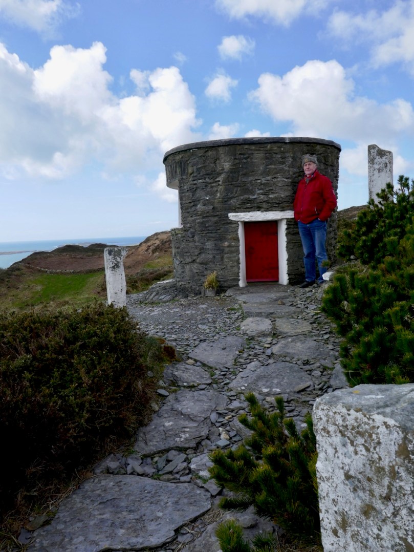
Connie has built his own tiny belvedere (he calls it his folly) perched to take maximum advantage of the view. It’s the perfect spot to sit, munch an apple, and enjoy a companionable chat before the walk down again.

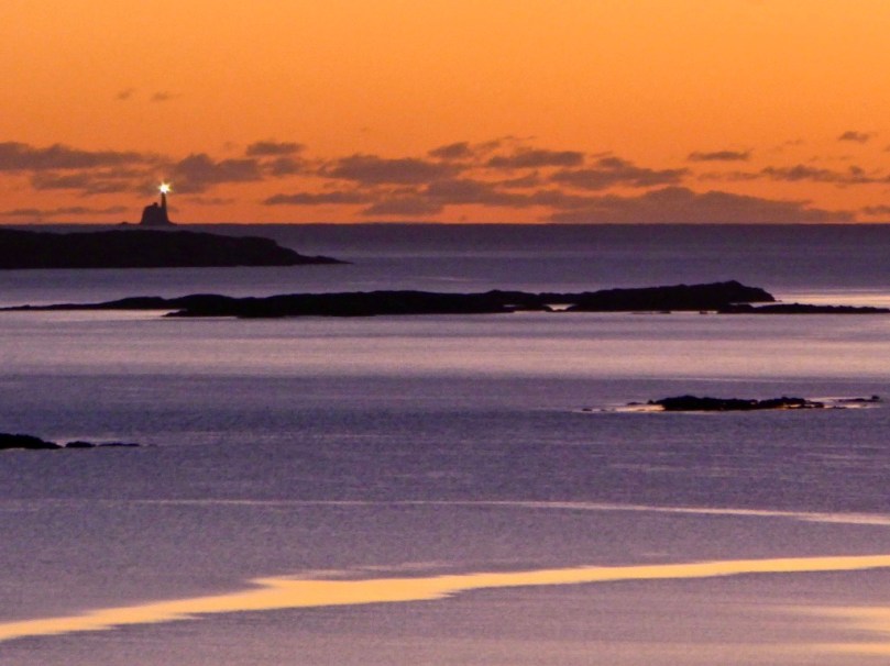
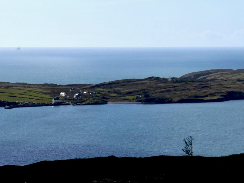
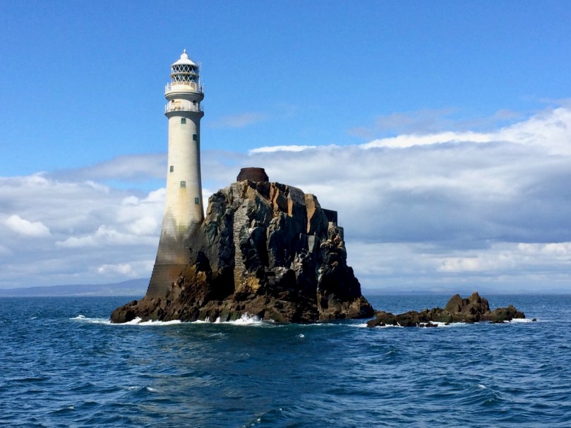
A final look out to sea. There’s Long Island and beyond it the Fastnet Rock with its iconic lighthouse.

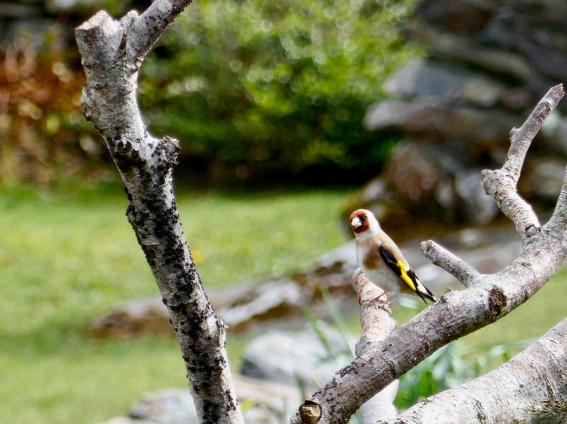
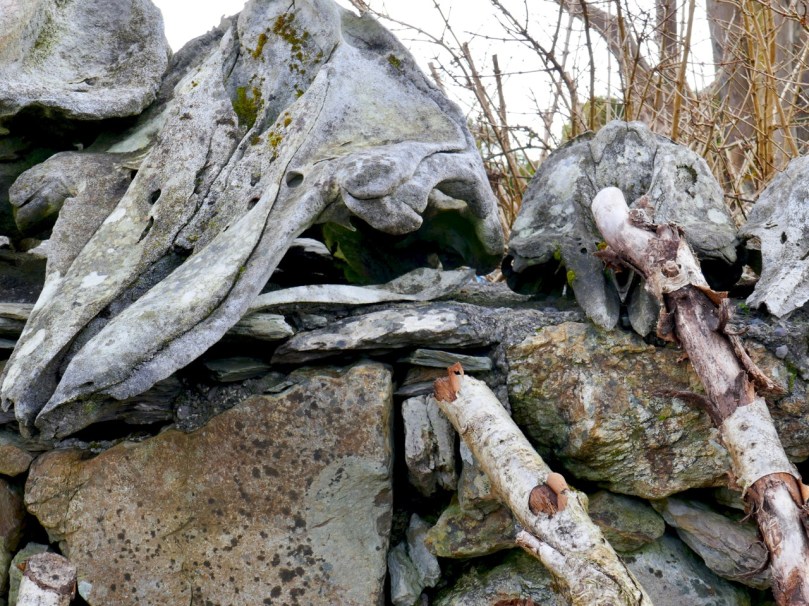
We paused to admire a Goldfinch in Connie’s garden, as well as his wonderful textural arrangement of sticks, stones and whalebones.

Thank you, Connie and Betty, from two happy walkers.

A Change to The Fastnet Lighthouse

Way back in 2014 I wrote about An Carraig Aonair: The Fastnet Rock and I have decided to repost that today, but with some updated information and photographs, because of an upcoming change announced by Irish Lights. Depending on the story, this is either a relatively benign but majorly cost-saving switch to LED lighting, or a change we must be vigilant about to make sure the Fastnet is left “intact and unharmed”.

Irish Lights tells us that structural repairs. . .are necessary to ensure the metal lantern room is properly secured to the granite tower and modernisation of the light source to an energy efficient rotating LED lantern. When these works are completed the outward appearance of Fastnet will be unchanged. The work will improve our environmental impact by significantly reducing the need for diesel and generators and by removing all mercury from the station. The range of the light will reduce from 27 to 18 Nautical miles.

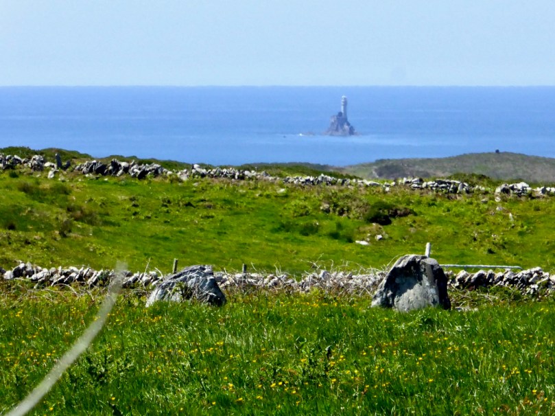
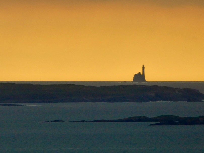
This photo was taken from our house, 12 miles (or 10.4 nautical miles) away

While this seems like a sensible and inevitable modernisation, with (according to this letter to the Irish Times) a very significant saving of €100,000 per year, those of us who live around Roaringwater Bay want more information: we want to be sure that the change does not negatively impact on the safety of our sailors and fisherfolk, and does not rob us of the iconic flash that is so much part of our lived experience in West Cork. There will be a meeting on Monday (March 5, 2018) at the Schull Sailing Club to discuss it all.

What follows now is the text of my post from June of 2014, lightly edited and with some newer photographs inserted.

Robert has written about our field trip to Cape Clear Island and I can now reveal that the journey also included a thrilling sail around An Charraig Aonair (Karrig Ane-er, The Lone Rock) better known as the Fastnet Rock; or to thousands of emigrants for whom it was the last sight of their home country, Ireland’s Teardrop.
We had been looking forward with great anticipation to visiting the rock close up. We can see it from our home, a far away mystical crag abounding with lore and legend. We have been awestruck by the waves crashing over the lighthouse in winter storms and wondered at the lives of the lightkeepers who once manned that treacherous outpost. We watched through our telescope as enormous yachts rounded the rock in the biennial Fastnet Race last summer, following the progress of the race on a special iPhone app. I have written elsewhere about the awful tragedy of the 1979 race, in which Gerard Butler and his fellow lightkeepers on the Fastnet played a crucial role in monitoring the participating yachts in the mountainous sea conditions. 
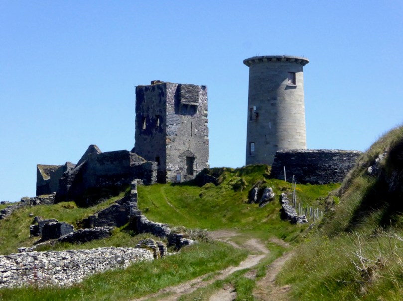
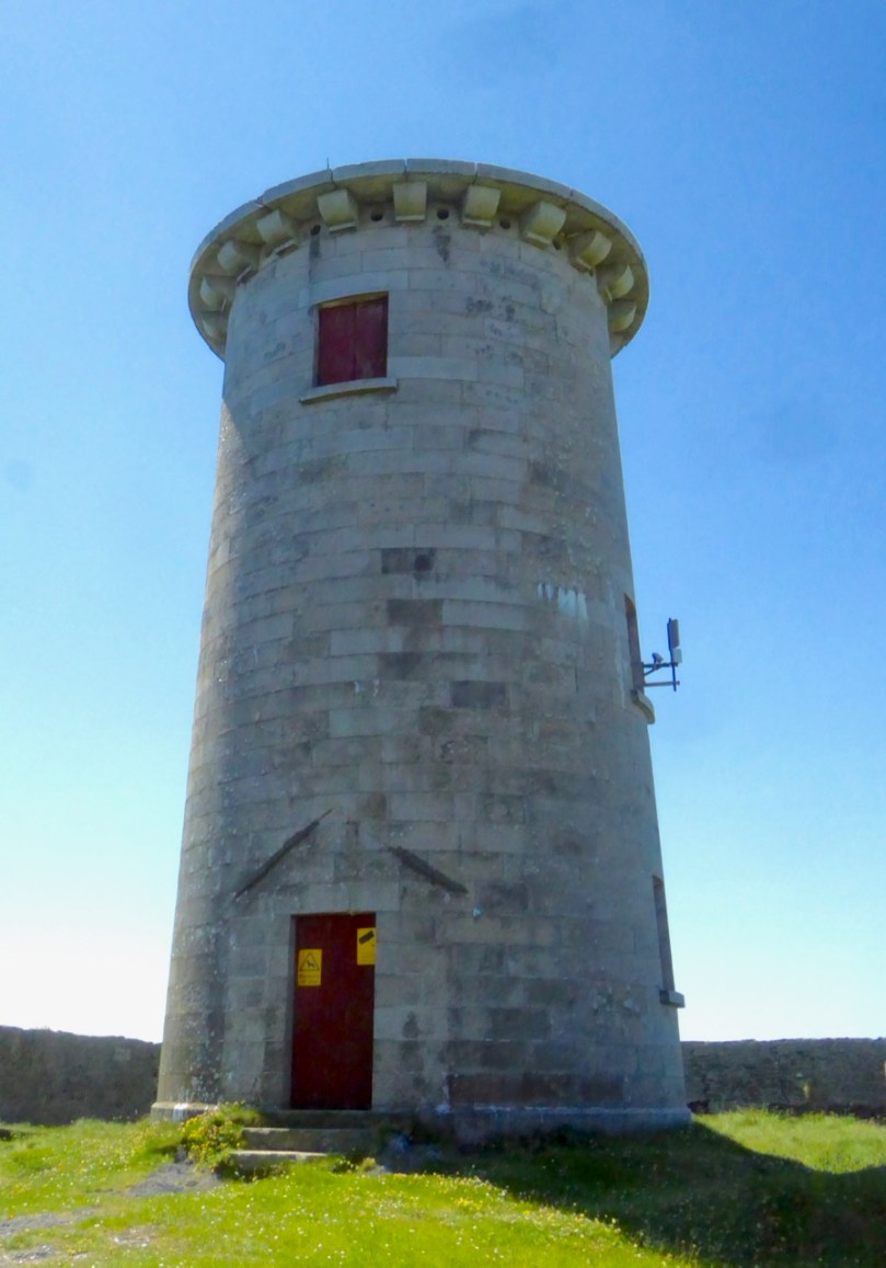
The signal station and the first lighthouse, on Cape Clear Island

The Fastnet was built to avoid such tragedies. Its first iteration was in 1818 as a lighthouse tower on a high point on nearby Cape Clear Island, beside the Napoleonic-era signal tower. However, the light was frequently obscured by fog and after the wreck of the Stephen Whitney in 1847 with 92 souls lost, it became clear that the best place for a lighthouse was on the Fastnet Rock. 
The great era of lighthouse building in Ireland got underway in the mid-nineteenth century. The engineering, design and construction expertise necessary to build lighthouses are impressive enough. Add to this the logistics of building on a tiny and inhospitable rock in a heaving sea on the edge of the Atlantic, and the sheer accomplishment of the objective is  staggering. The first attempt, started in 1849, was of steel and needed constant repair.
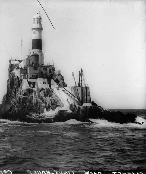
The first lighthouse on the rock – it was made of steel and didn’t last

It was decided to replace it with a structure of Cornish granite and the current lighthouse first cast its beam over the waters in 1904. Eamon Lankford in his book Fastnet Rock: An Charraig Aonair describes the building process and provides old photographs illustrating how the granite blocks were ‘floated’ and hoisted on to the islet, having been first assembled and tested in Cornwall. The website Digital Irish Lighthouse Experience by Sandra Michler has an animated sequence showing how this was accomplished. it took eight years.
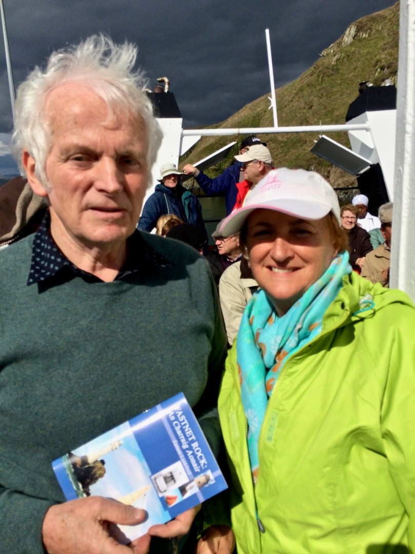
We were fortunate to have Eamon Lankford as one of our guides on our trip to the Fastnet

One of the best accounts of the building of the lighthouse was in a 2008 article in The Economist called Light on a Lonely Rock. The piece gives fascinating details into the dedications and hardships of the builders and calls the lighthouse “a monument of man’s gift to mankind.” I don’t know who wrote it, but it’s a terrific essay.

According to the Irish Lights website, Fastnet is the tallest and widest rock lighthouse tower in Ireland and Great Britain and was a monumental achievement when completed in 1904. Each of the granite stones of the tower is dovetailed into those around it, bonding the structure into a virtual monolith. This webpage also has several excellent photographs of the lighthouse from the air. What all photographs of the rock also reveal is that the lighthouse is a thing of beauty. Tall, slender and elegant and boasting two balconies, it personifies form and function in the most admirable fashion possible. (Take a look, for example, at Dennis Horgan’s website – he’s an acclaimed aerial photographer and his photograph of the lighthouse is probably the most iconic shot of them all.) Today the Fastnet is fully automated but in The Lightkeeper Gerard Butler describes what it was like to live on the rock in fair weather, when he fished and swam from the steps, and foul, when the seas crashed and roared over the lighthouse as it quivered and shook all night. 
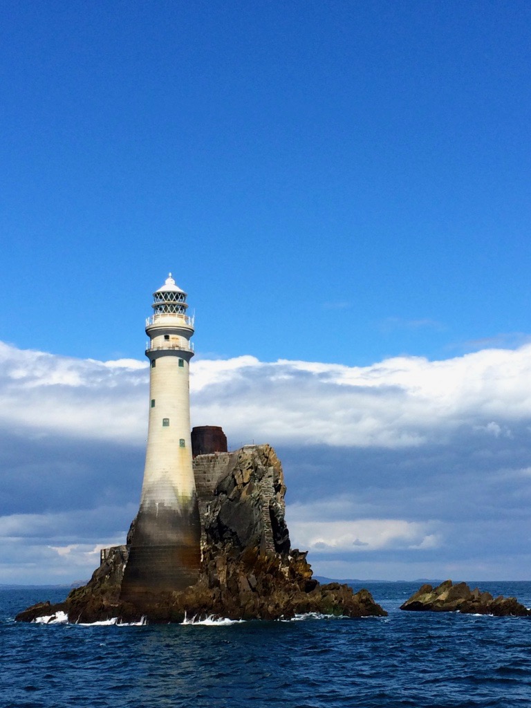
The lighthouse showing the full extent of the Cornish granite and the stub of the old steel tower

One of the stories we heard from Eamon concerned  a daring midnight raid on the lighthouse carried out by an IRA ‘Flying Column’ (experts in guerilla warfare) in 1921 during the Irish War of Independence. They were after the explosives used on the Fastnet to power the foghorn. [EDIT: I have some errors here – please see Finbarr O’Driscoll’s correct information about the raiding party in the comments section.] In researching this story further, I found an article in the 1999 Mizen Journal (no longer in print) by Frank Lannin, based on the eyewitness statement of Sean O’Driscoll.*
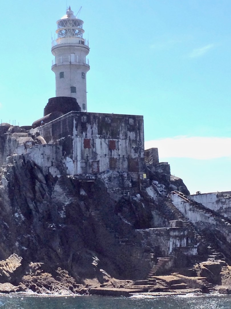
The Rock, showing the landing platform, steps and store

Here is part of Lannin’s account:

The breeze had freshened and caused the usual swell around the Rock and there was a rise and fall of several feet. The anchor was let out and the boat moved slowly to the landing place. Positioned on the bow was John O’Regan, a rope tied around his waist, a revolver in his pocket and balancing himself with the rise and fall of the boat. He would have to select the right moment to jump on the Rock and catch the iron ring which was fixed to the Rock. He knew where the ring was fixed, but to grasp it in total darkness was a feat that few would attempt. His vast experience as a seaman was now to be put to the test. As a wave was rising he jumped. It was a tense moment. As the wave covered him he grasped the ring with both hands. (It was an occasion for handclapping, but not tonight.) In seconds he had made the boat fast and the rest of the raiding party were landing on the platform. The huge steel door of the lighthouse was not locked. John was first up the spiral stairway leading to the room where the Lightkeeper was on duty. He put up no resistance and as a precaution the wireless was dismantled. Seventeen boxes of gun cotton and three boxes of detonators and primers were loaded on to the “Maire Cait” by means of the lighthouse derrick. in all, the spoils weighed but one ton. The daring mission was accomplished.
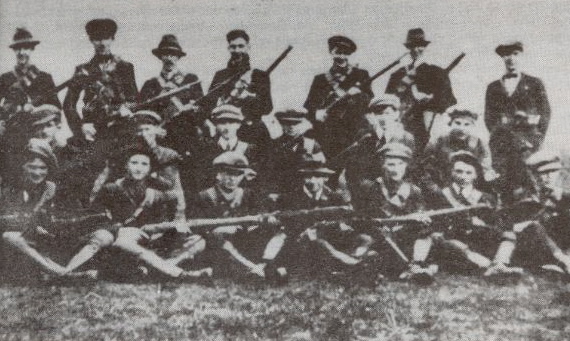
A Flying Column (this one from Tipperary)

The fog signal, together with the light, was an important aid to navigation for ocean going vessels. It was only in 2011 that the Fastnet foghorn was permanently discontinued, as modern navigation equipment rendered it unnecessary. All around the world people are missing the haunting sound of foghorns now, a sound so many of us grew up with. But at least we can see the light from Carraig Aonair every night and count its ‘character’ – one two three four FLASH…one two three four FLASH – and know that it’s doing its part to keep our mariners safe on the seas that roll outside Roaringwater Bay.
*See pages 18 to 20 of Sean O’Driscoll’s statement for his dramatic story of the raid.


Mizen Magic 9: Rossbrin to Schull

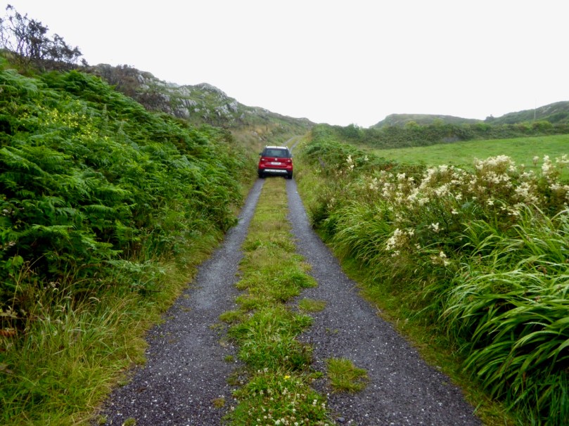
There’s a main road between Ballydehob and Schull, and then there’s a back road – a road that meanders through farmland and down half-forgotten boreens, a road lined with wildflowers and dotted with the remains of past history, a road that looks over once-inhabited islands. South of this road lies Mizen Magic 9.

Along the back road in early summer

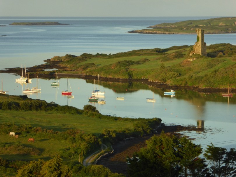
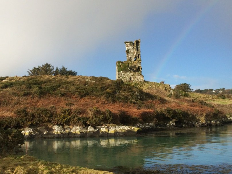
We’ll start at Rossbrin Cove – a place that Robert has written about over and over, like any writer with his own ‘territory.’ This was the home, in the 15th century, of Fineen O’Mahony, the Scholar Prince of Rossbrin.

Looking down now on what’s left of his castle, it’s hard to imagine that this was a place teeming with life and learning – a mini-university where scribes and poets and translators transcribed to vellum (and to paper – a first in Ireland) psalters, medical tracts and even the travels of Sir John Mandeville. The castle has been in ruins since the 1600s, and we live in fear that the next storm will bring the last of it down.

Rossbrin Castle from the sea

The road runs through the townlands of Rossbrin, Ballycummisk, Kilbronogue, Derreennatra and Coosheen. Ballycummisk has a wedge tomb from the Bronze Age and a ring fort from the Early Medieval period – just to remind you that you are far from the first to want to settle in this place. In more recent times, and like Horse Island, it was once the centre of a thriving mining industry, but a spoil heap and stone pillars are all that remain.

Large ring fort, and the remains of mining activity, in Ballycummisk

Two islands dominate the views of Roaringwater Bay along this road. The first is Horse Island, owned now by one family, with its industrial past a distant memory. There have been various plans for Horse Island in recent years – a resort, a distillery – but so far it has resisted development.

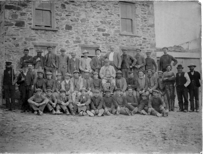
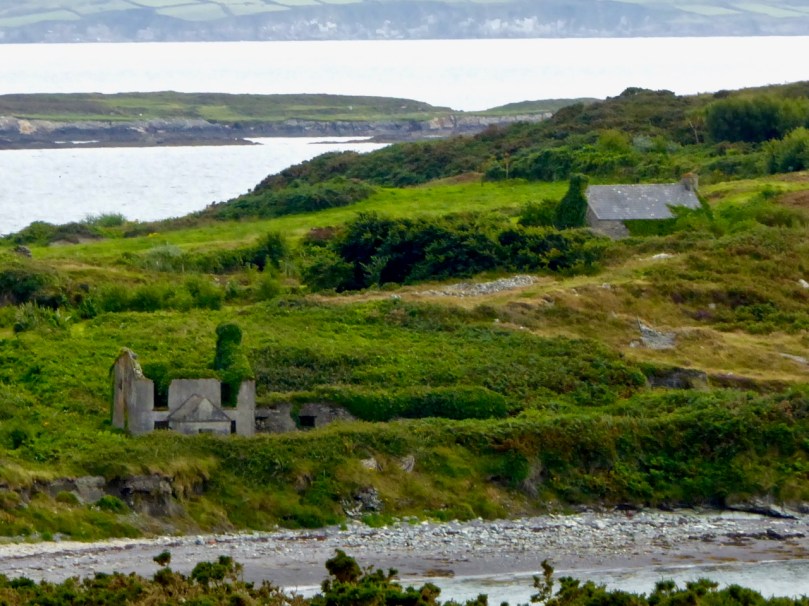
Horse Island Miners in 1898 and the ruins of miners’ dwellings

The other is Castle Island, home to yet another vestigial O’Mahony Castle – one of a string along the coastline, all within sight of each other and sited strategically to control the waters of Roaringwater Bay and their abundant resources.

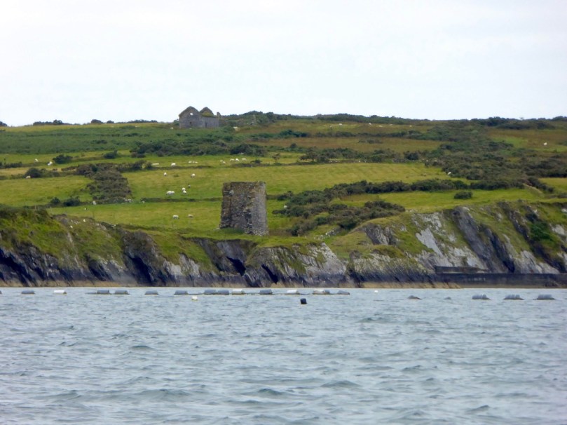
There’s not much left of the castle on Castle Island

The O’Mahonys became fabulously wealthy in their day, charging for access to fishing and fish processing facilities and for supplies and fresh water. They also forged strong alliances with the Spanish and French fishermen and visitors who plied those waters – a friendship that was to cause great concern to the English crown and that was to spell, in part, their eventual downfall.

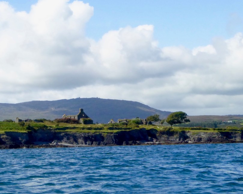
Ruined farm houses on Castle Island. The photograph was taken from a boat – that’s Mount Gabriel in the background

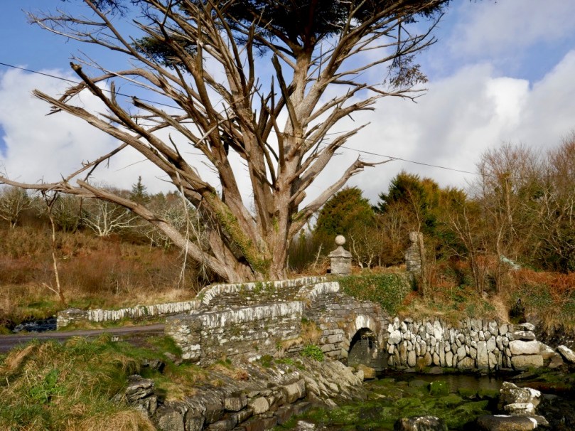
The closest spot to Castle Island (also uninhabited) is the beautiful little pier at Derreennatra. There is a large house up behind the pier, now inaccessible but once run as a guest house and famous for its hospitality. A curious bridge once gave access to the demesne and it remains a striking landscape feature, with its pillars and giant Macrocarpa tree.

Derreennatra Bridge

Continuing towards Schull we come to the last of the O’Mahony castles and the best preserved in this area. This is Ardintenant (probably Árd an Tinnean – Height of the Beacon – possibly referring to a function of the castle to alert others to the presence of foreign vessels) and it was the home of the Taoiseach, or Chief, of this O’Mahony sept.

Two ‘beacons,’ ancient and modern – Ardintenant or White Castle below and above it the signal stations on Mount Gabriel

The castle, or tower house, still has a discernible bawn with stretches of the wall and a corner tower still standing. If you want to learn more about our West Cork tower houses, see the posts When is a Castle..?; Illustrating the Tower House; and Tower House Tutorial, Part 1 and Part 2.

Ardintenant is also known as White Castle, a reference to the fact that it was once lime-washed and stood out (like a beacon!) to be visible for miles around. It appears to have been built on top of an earlier large ring-fort which in its own day was the Taoiseach’s residence before the fashion for tower house building.

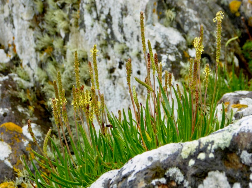
Sea Plantain at Coosheen

From Ardintenant we head south to Coosheen, a picturesque pebble beach known only to locals. It’s one of my favourite places to go to look for marine-adapted wildflowers. On a rainy day last August I saw Sea-kale, Sea-holly, Sea Plantain and Thrift, and drove back on a boreen lined with Meadowsweet and Wood Sage and past a standing stone whose purpose has been long-forgotten but that continues its vigil through the centuries.

Our final spot in Coosheen is Sheena Jolley’s mill house, now the gallery of this award-winning wildlife photographer. She has restored it beautifully and the gardens are a work-in-progress that manage to capitalise on, rather than overwhelm, the mill stream and the rocky site. This is also the starting point for the Butter Road walk – but that deserves a new post one of these days, a post in the Mizen Magic series. We have written one but it was a long time ago.

Take a walk, or a drive, down any part of this road – do it in summer when the boreens are heady with wildflowers, or do it in winter when the colours of the countryside are at their most vivid. Heck, do it any time!


Mizen Magic 8: The Altar

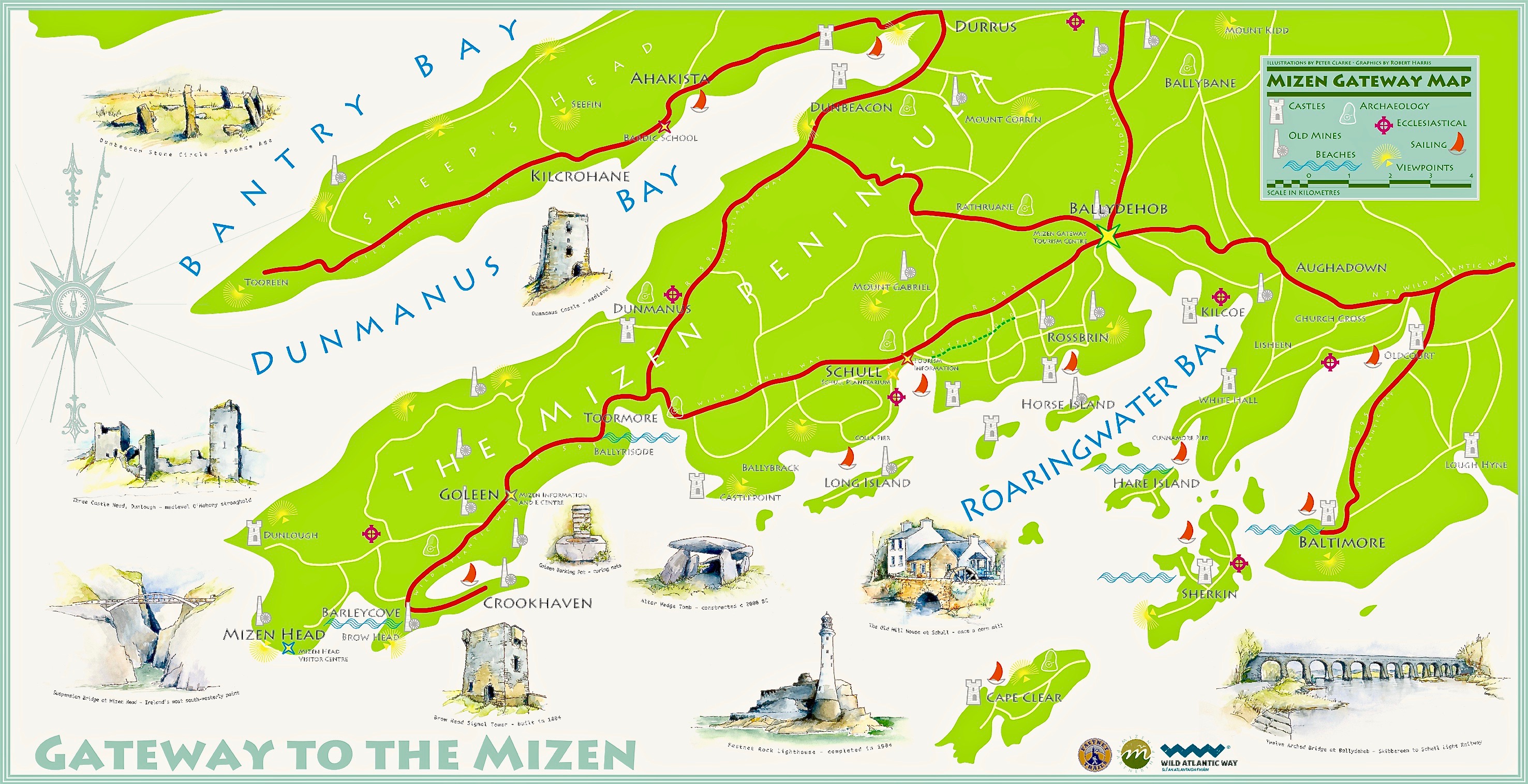
Here’s the Mizen Peninsula shown on a map drawn by Robert for the Bank House tourism centre in Ballydehob and embellished with Peter Clarke‘s exquisite watercolour sketches of just some of the places that should not be missed by visitors to West Cork . . .

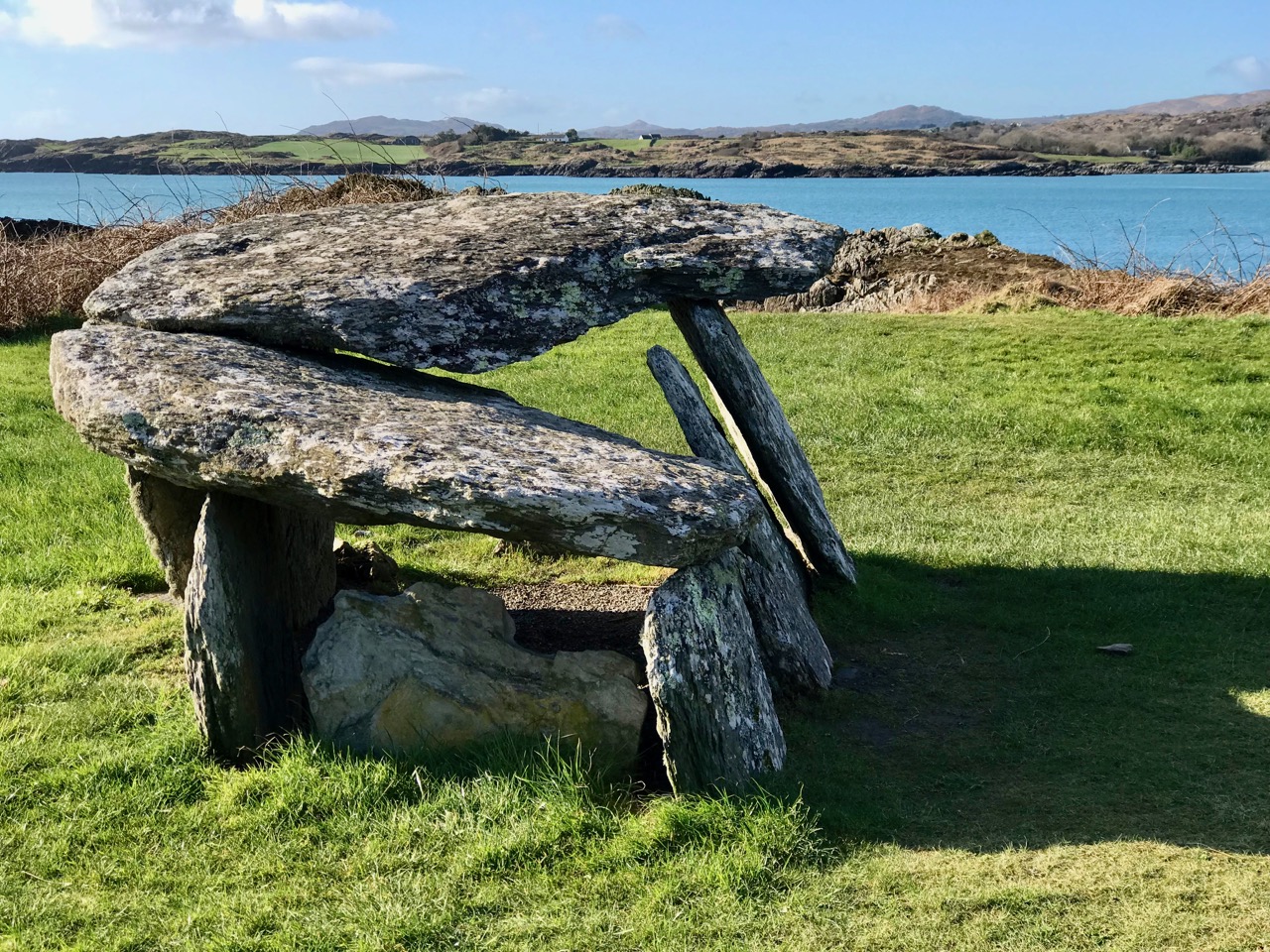
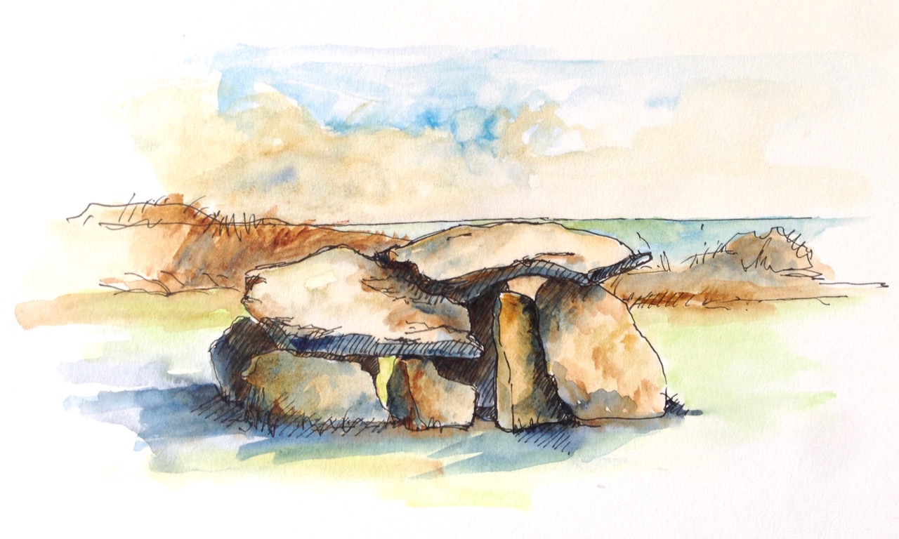
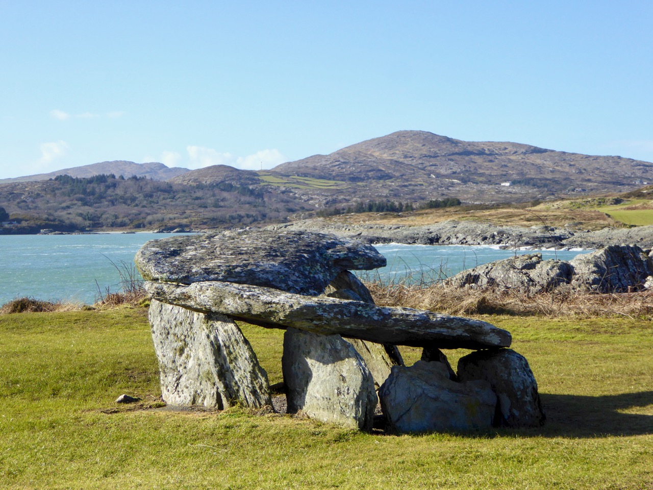
. . . And here is another rendering from Peter of one of the ancient sites that everyone goes past when travelling to the far west: possibly one of the most accessible pieces of archaeology on this section of the Wild Atlantic Way. It’s the Altar Wedge Tomb at Toormore Bay.

It’s early February, and Imbolc has passed. That means that Springtime has officially started here in Ireland. Sure enough, we looked out over a sunlit Roaringwater Bay this morning: soon we were heading out towards Goleen, Barley Cove and all points west. We stopped at The Altar and had it all to ourselves. You can see here that it’s orientated towards the Mizen Peak – that sharp little pyramid which is right on the centre of the picture – and lies to the west. For me, there’s a perfectly natural symbolism about placing the dead in a tomb that is aligned on the rising and the setting of the sun: that’s something we still do, several thousand years on!

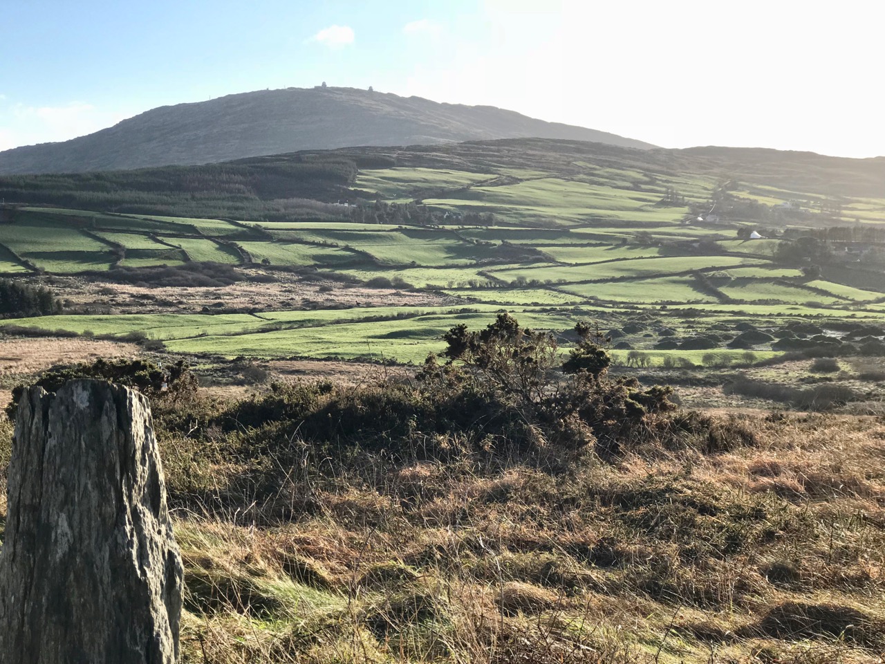
The upper picture, taken on the Winter Solstice, shows the Mizen stretching away from the heights of Mount Gabriel: the Mizen Peak is the little pointed blip just left of centre. The lower picture looks across the wetlands behind the sand dunes at Barley Cove, and was taken today in the Spring sunlight: the Peak is clearly visible as the highest point. I believe that our forebears attached great importance to high places, as many stone monuments and Rock Art often seem to be placed in the landscape with commanding views towards hilltops. Mike Wilson’s site Mega-What sets out his detailed studies of the orientation of ancient sites within the natural landscape. Here is his analysis of the setting of the Altar Wedge Tomb.

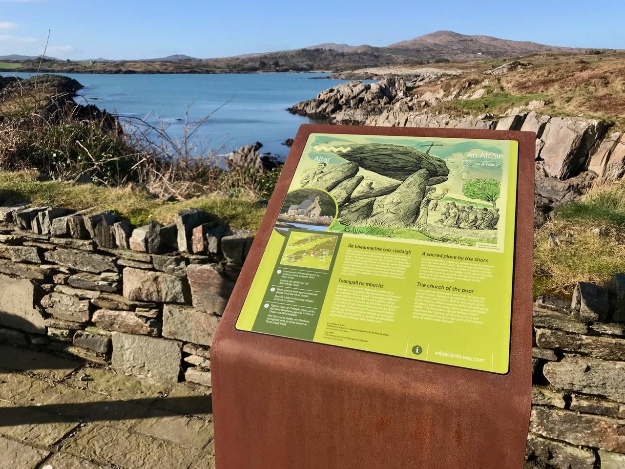
I am always alert for the ways in which our special sites are interpreted for us. I created a bit of a storm a while back when I commended the signage which has been put in place along the Wild Atlantic Way using visually strong corten steel elements (above left) supplemented more recently by (in my opinion) very well designed information boards. The image on the right above is from an earlier OPW board which explains the possible early use of the wedge tomb, while the images below show the new signage, which features the later use of the tomb as a Christian altar during the Penal times (hence the name: The Altar), with a drawing by Sam Hunter. I am struck by the way this monument has been a focal point for differing rituals spanning countless generations.

When writing about archaeological subjects I am always on the lookout for the way that antiquarians saw the sites which we are familiar with today. I had hoped that George Victor du Noyer – the subject of an excellent recent exhibition in Cork’s Crawford Gallery – might have drawn this wedge tomb when he travelled the country for the Ordnance Survey during the early nineteenth century: he may well have done, but the annotation and cataloguing of his vast legacy of work has yet to be completed and I have not found such a record. His drawings below are not of The Altar, but a portal tomb, Ballybrittas in County Wexford. Portal tombs (sometimes known as dolmens) share similarities with wedge tombs, but are earlier, dating from between 3000 BC to 2000 BC, while wedge tombs tend to be associated with the Bronze Age, which followed this period.

Cremated remains were found in Altar Wedge Tomb when it was excavated in 1989 by Dr William O’Brien, now Professor of Archaeology at UCC. We can never know exactly what the significance of these impressive structures was to those who built them. For me, I’m pretty sure that it was connected with their relationships to, and respect of, the landscapes which they inhabited, and which they invested with meaning. They must certainly have paid heed to the passing of the seasons and the continual cycles of nature, and their closeness to all of this must have given them an inherent knowledge of the paths of the sun, moon and stars. Above all, our ancestors had to understand and appreciate the environment around them, and make it work for them. In a practical sense, certainly, but also in terms of the stories they might pass on about the meaning of places.

Above – the magical landscape of the Mizen: we will never tire of it

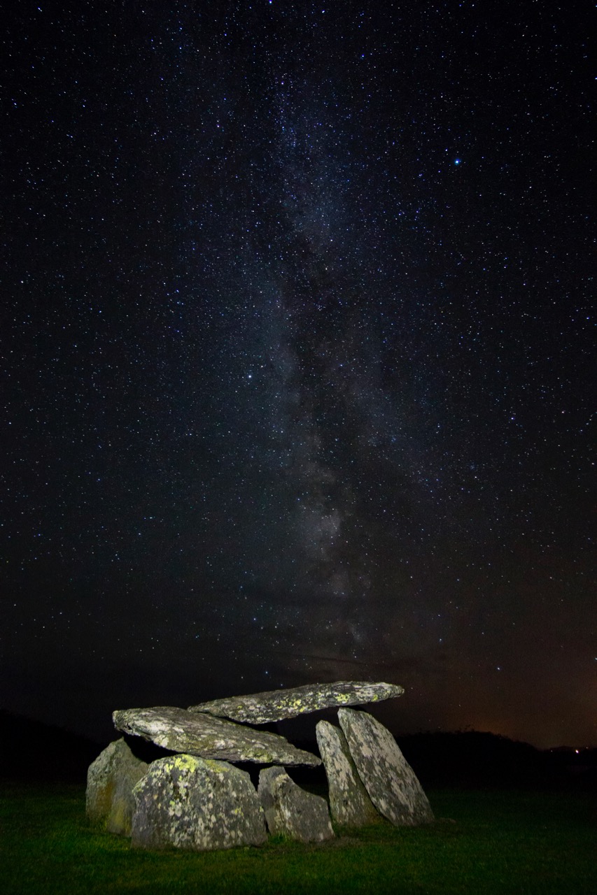
The tailpiece picture, which is from Wikimedia Commons, attributed to Lukeoc88, is a remarkable timeless view of a human construction in the setting of our Universe: Altar Wedge Tomb under the Milky Way.

Northside

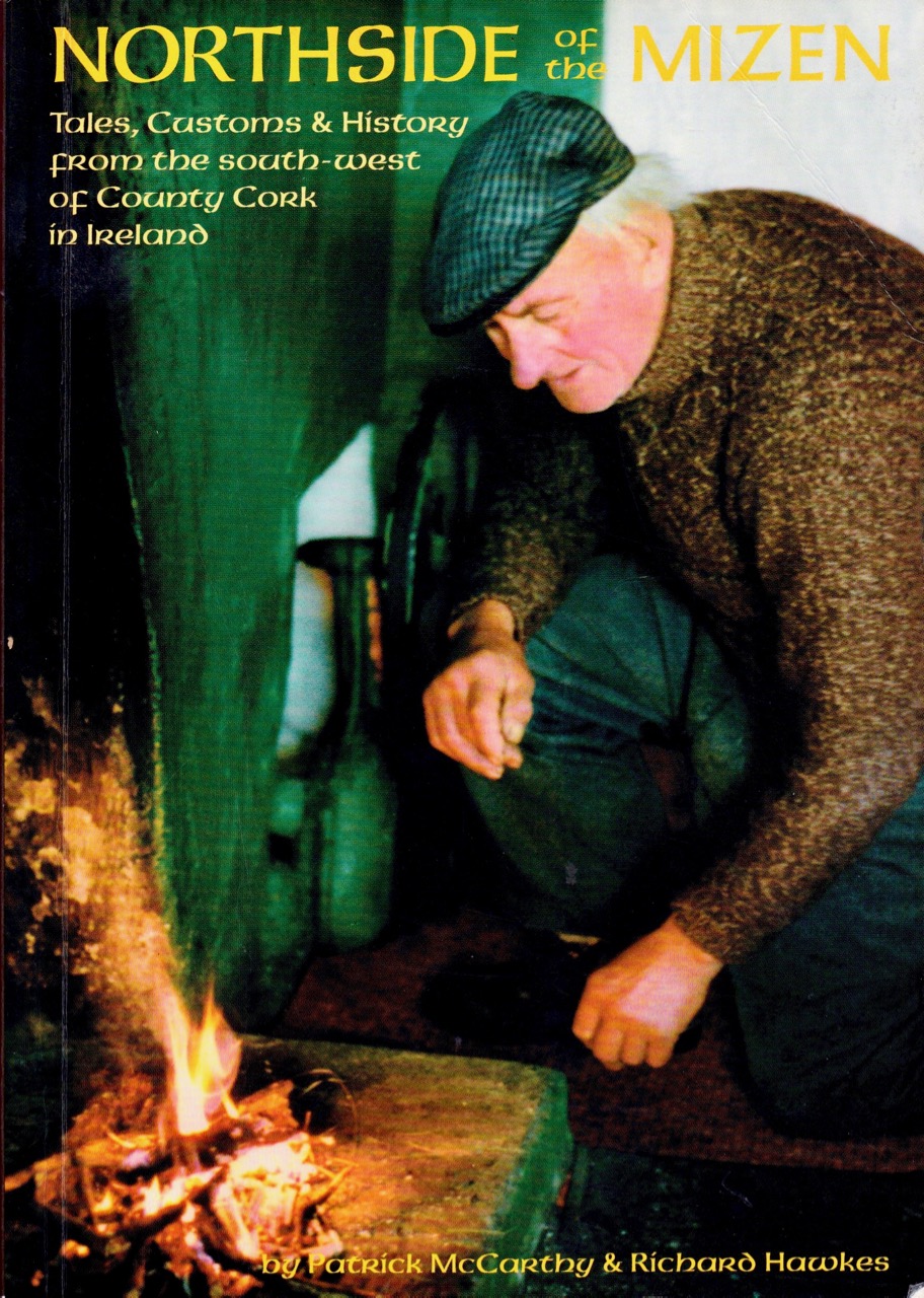
It was a perfect start to the year – a crisp, transparent January day when the whole landscape was set out before us in meticulous sunlit detail. We determined that our own Mizen terrain would begin our 2018 posts. Finola reached for her camera; I took down from the bookshelves an old stalwart: Northside of the Mizen by Patrick McCarthy & Richard Hawkes, 1999, and we headed out for Dunbeacon and all points west!

. . . Welcome to the Northside ‘The Northside’ is tucked away in the remote and most south-westerly point of Ireland. It is a place of wild beauty, with hills to the back, overlooking Dunmanus Bay. In the past it offered a harsh living. where man has protected himself from the elements blown in from the Atlantic and where one person often relied on another for survival. It gave a camaraderie that can rarely be found today.

(all quotations are taken from Northside of the Mizen)

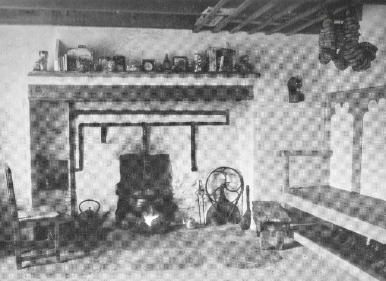
. . . January A new year and the cycle of passing months began again. With the weather at its worst, there was little to do on land or sea. Jobs around the home and haggard, or repairs to ditches and gaps on the farm were carried out. The house provided shelter and it was a time to be by the warmth of the turf fire for the long nights, whether at home or out scoriachting.

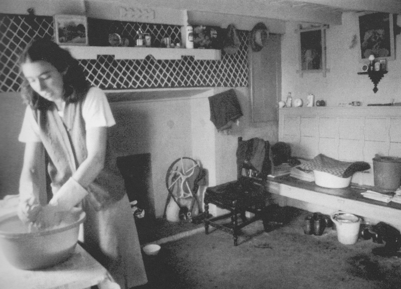
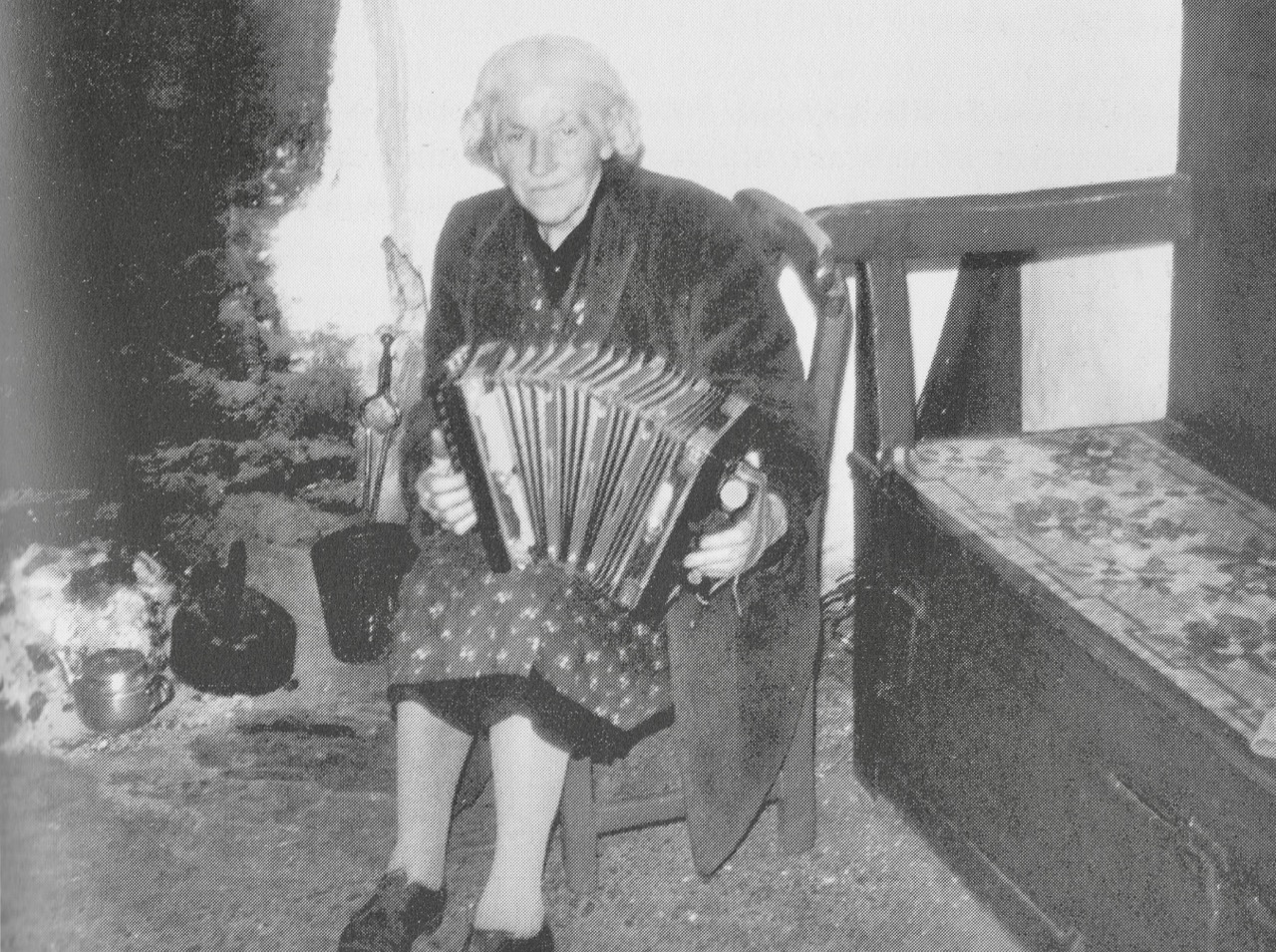
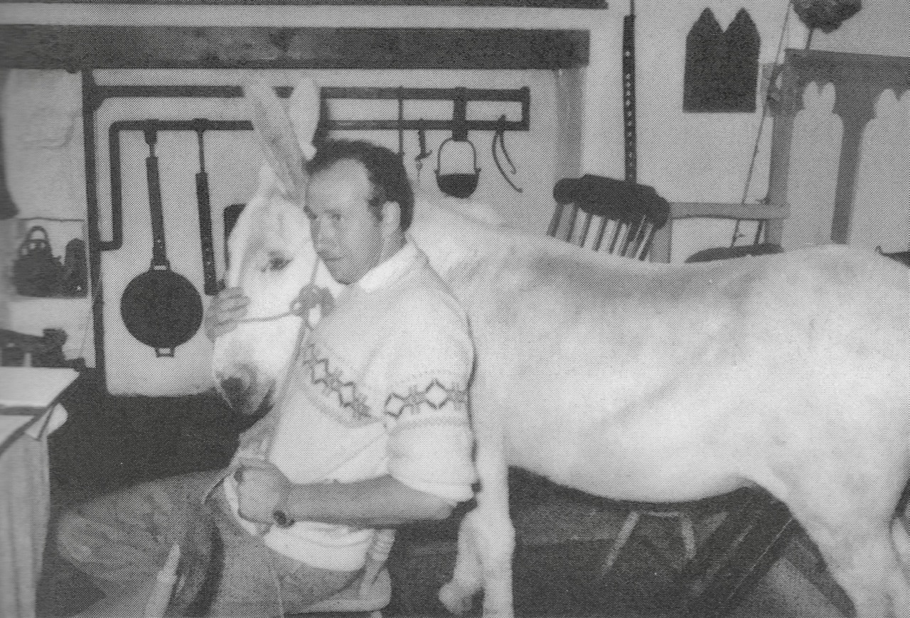
The heart of the home – Northside kitchens. Lower picture, Bridget McCarthy 1977. All early photos are taken from Northside of the Mizen

. . . Scoriachting Throughout the year, scoriachting (visiting neighbours) at night was the custom and in the winter the warmth of the open fire was the focus for games, songs and stories… Only Saturday night was not a night for calling to friends, as you would have to get ready for Mass early next morning. Different houses in the townlands would be known for their own form of entertainment; for example, the Coughlan’s (the Kit’s) for talk of people and who was related to whom, the Courcey’s and the Scully’s for cards, the Hodnett’s for games and tricks to test your wits and for a bit of harem scarem.

Harem Scarem? Upper – ‘Agnes O’Donovan at her fireside, 1969’ and lower – ‘Michael and Tom McCarthy out scoriachting’

. . . If you were a pipe smoker and you walked into a house where a man was smoking, he would offer you the pipe for a few pulls. When handing the pipe back you’d say, “The Lord have mercy on the dead.” Women would occasionally smoke a pipe but preferred snuff. Often the night’s scoriachting would start with the Rosary and two candles would be lit. One Sunday night in the nineteen-thirties, at the O’Donovans in Dunkelly a lad pegged (threw) a cap at one of the candles and quenched it. Danny O’Donovan said that it was a queer thing to happen in the house of God, to which the reply came, – “There’s a great deal of difference between you and God!” That was the end of the Rosary that night!

. . . A night would start with games, blackguarding (horseplay) and sometimes dancing, then progress on to songs and poems. Storytelling was the preserve of an evening by the fire. With the flames flickering and the wind and rain howling like the Banshee, the imagination of the storyteller and his forebears was let loose on a delighted and spellbound audience of children and adults alike. this, in turn, would lead to stories of a more superstitious nature, into a world of small folk, púcas (sprites), mermaids and of people’s misfortune when they interfered with the fairy ways.

. . . If the night was black as you made your way home and you couldn’t see where you were going, it was a good idea to call on the little people to help you. To do this you took a piece of clothing off, turned it inside out and put it back on. That gave you the sight back and you would find your way. It was also wise to carry a twig of hazel as it would protect you from the not-so-good little folk and get you back home safely!
. . . The last job of the night was to build the fire up and cover it with ash, so as to keep it red for the next morning. It was bad luck to let a fire go out, and it was said that many of the hearths had the same fire for generations.

Mizen Magic 7: Dunbeacon – History, Prehistory and Questions of Access

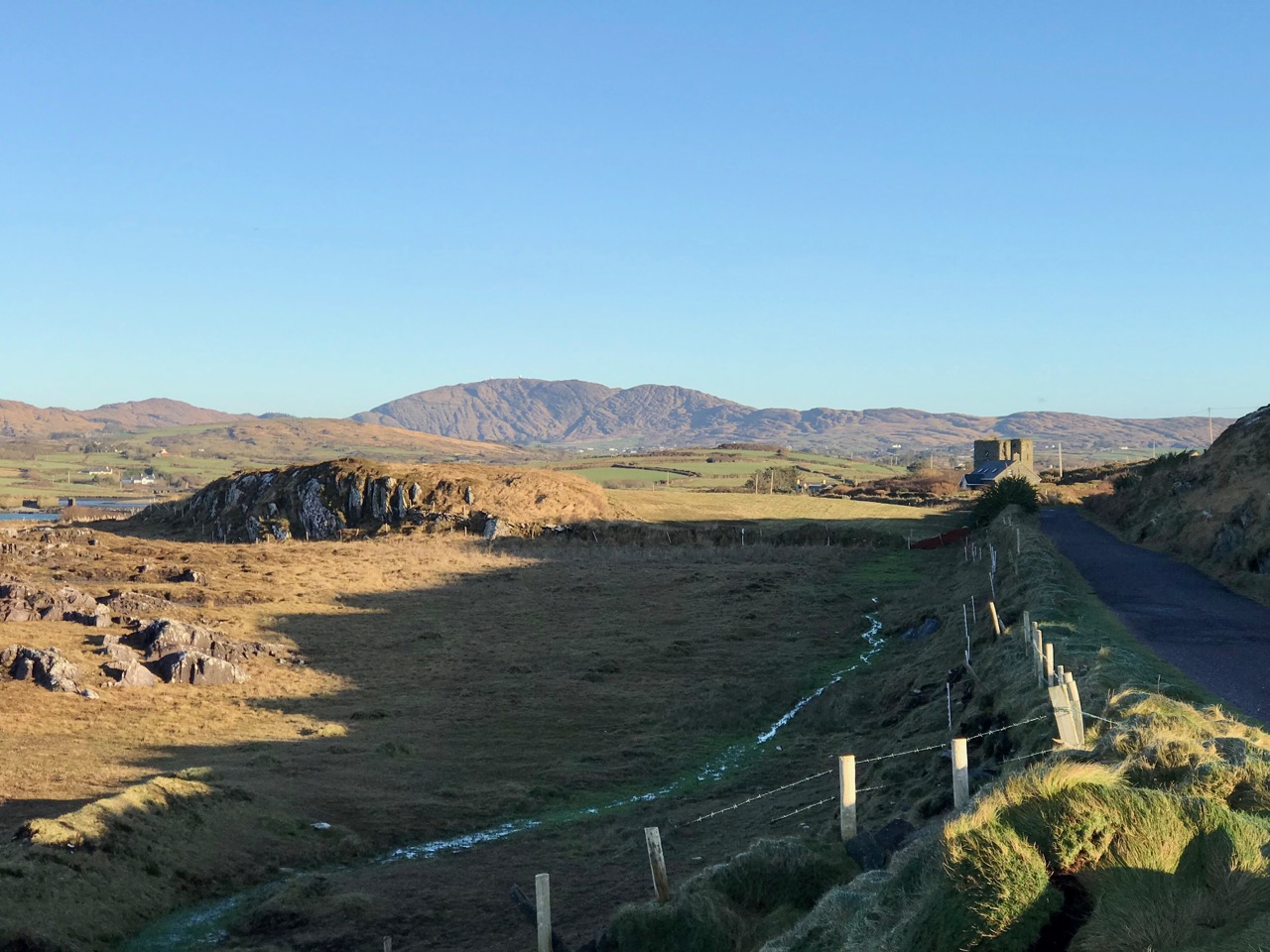
A cold and clear January day is just the ticket for a trip to the Northside of the Mizen. While Robert writes about the life of Northsiders, I want to look specifically at the area known as Dunbeacon. On rising ground that ascends to Mount Corrin and overlooks Dunmanus Bay West of Durrus, Dunbeacon offers spectacular views and lots to explore.
Looking across to The Sheep’s Head at the head of Dunmanus Bay, near Durrus

In the last few years the Sheep’s Head Way has expanded into parts of the Mizen Peninsula. This is a very welcome move and the SHW committee is to be commended on taking this initiative. Today we followed part of this new trail through Dunbeacon townland and were rewarded with glimpses of the past, lovely vistas, Caribbean blue seas – and biting cold!

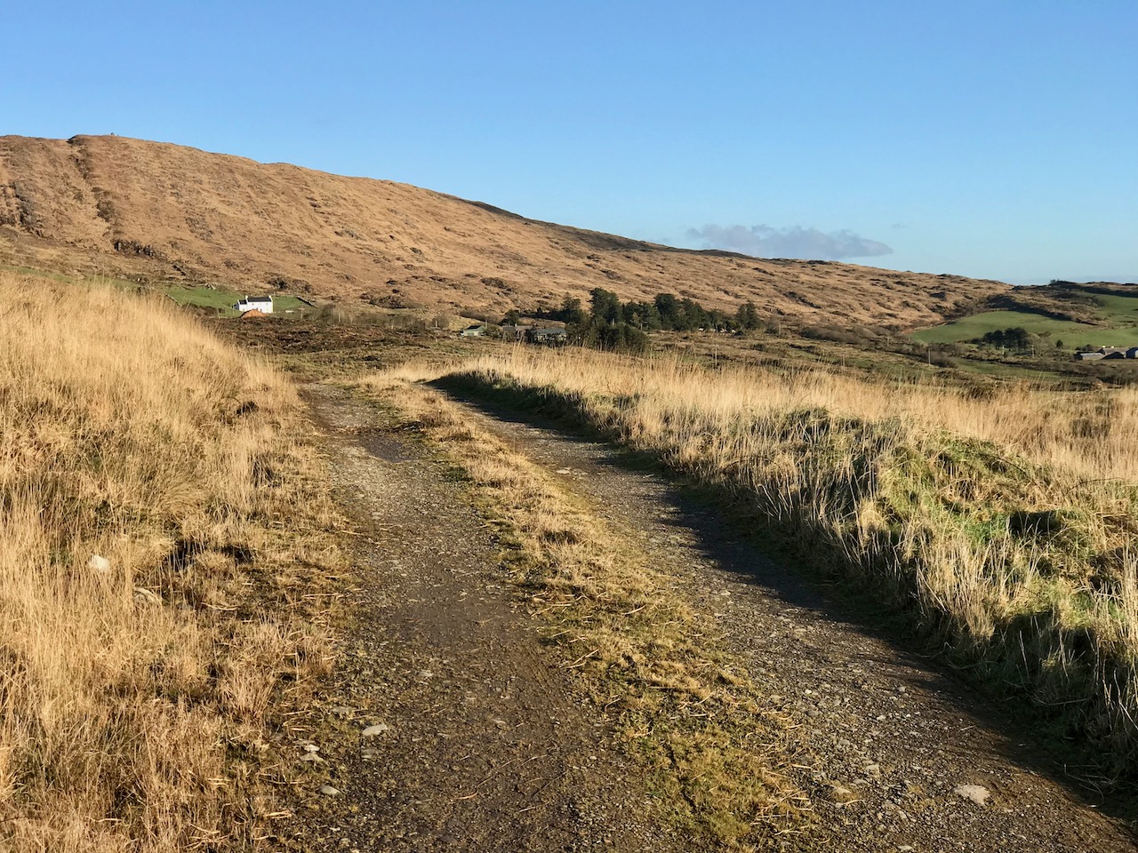
This section of the trail runs along a scenic boreen

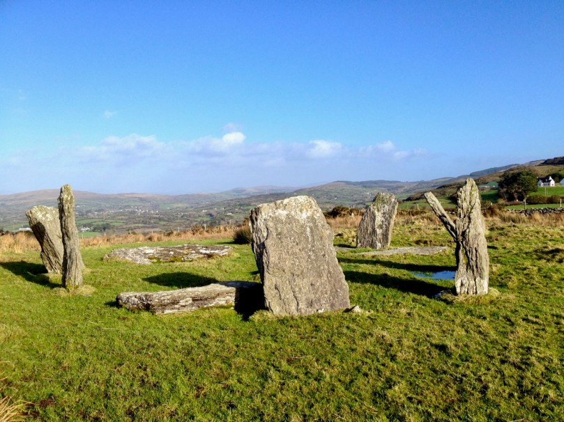
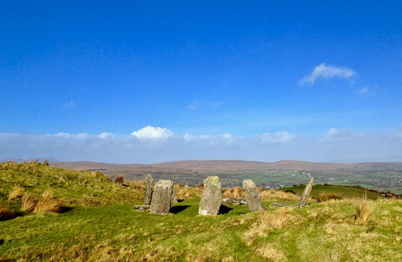
Dunbeacon is synonymous with the Stone Circle that carries its name. Robert and I have visited it on a couple of occasions in the past. We have knocked on the farmhouse door for permission to cross the land to get to it and never found anyone home. We proceeded anyway, albeit slightly nervously as it was an obvious trespass on a working farm. The stone circle is sited on a small plateau with views east and south to Mount Corrin and Mount Gabriel, although rising ground to the northwest obscures Dunmanus Bay.

Mount Corrin: a large cairn on top can be seen from many miles away. We have walked up to this cairn – see our account of it here

The circle is incomplete so it is difficult to know exactly how the builders intended its orientation as the portal stones and recumbent are missing. It may have had a central monolith. (For a complete explanation of Stone Circles see our post Ancient Calendars.) However, the clear view to the east and south horizons are design features that link it to sunrise and moonrise at certain times of year.

This photograph of Dunbeacon Stone Circle, and the one that heads up this post, were taken before the access trail (described below) was built 

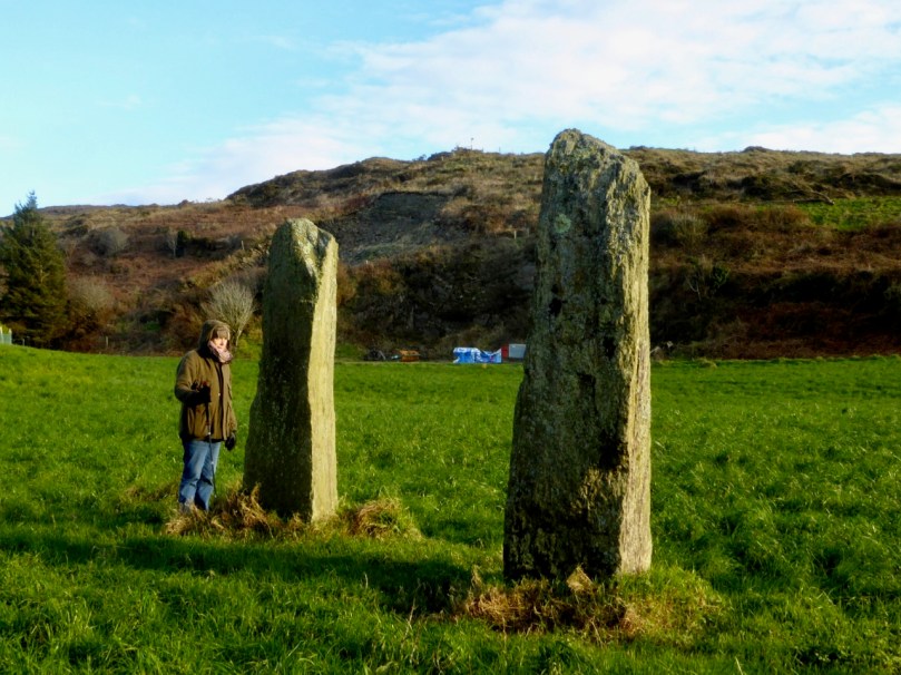
Intriguingly, Michael Wilson, of the Mega-What Website, says that practically the stone circle is really half a monument: what it takes to complete it for calendrical purposes are two other elements across the valley in Coolcoulaghta, a standing stone (now gone, but its position is known) and a standing stone pair.

The Coolcoulaghta standing stone pair, with Robert for scale. These stones were knocked down in the past but re-erected following a local outcry. Access and parking are now provided

Having studied the area carefully, Mike saysThis site [the standing stone] combines with the Stone Circle 400m away at Dunbeacon to enable observations of the lunar nodal cycle in all four quadrants as well as giving complete all year round solar coverage. It thus seems likely that the Standing Stone was an original outlier to the Stone Circle and that the Stone Pair was added later, probably by a different group of people, in such a way as to make a minor technical improvement.

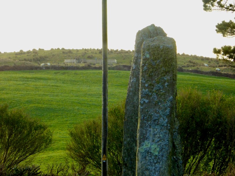
It’s further than it looks in this picture, but there is a clear view to the stone circle from the standing stone pair. In between is the most annoyingly positioned electricity pole in Ireland

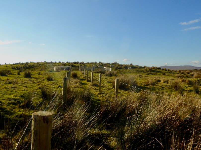
As part of the development of the new walking route, the SHW group has negotiated access to the Stone Circle, and has, in fact, built a fenced trail across the fields and up to the circle. This, of course, is excellent in that it finally provides open access to this wonderful site. There is, however, a problem: the stone circle is now surrounded by a wooden fence on all sides that severely impacts on the appearance and atmosphere of the site. While it will keep cattle away from the stones (cattle can do a lot of damage to sites like this) and provide a safe zone for walkers if there are animals in the field, it has become impossible to relate to the site in the same way as we used to.

The last section of the fenced trail. The fence around the stone circle can be clearly seen now

The author of the Facebook Page Walking to the Stones expressed himself thus when he saw the new enclosure: “The wire fenced avenue turns into a wooden fenced coral. The stones, imprisoned in a begrudgingly small pen. The wildness has gone, the mystery has gone. You might just as well be standing in a sterile museum environment. What have they done?” His comments generated a chorus of agreement.

Indeed, it is hard not to look in dismay at a fence like this. It makes taking photographs of the whole circle well-nigh impossible. It creates an overwhelming visual barrier between the circle and its surroundings. As an erstwhile archaeologist, I also have to wonder what was disturbed as the post holes were dug. And yet, all of this was done with the best of intentions, and it has succeeded in providing public access to the site. I would be interested in our readers’ thoughts.

It is quite difficult now to get a photograph of the entire circle. This one is partial, and shows a clear sightline to Mount Gabriel

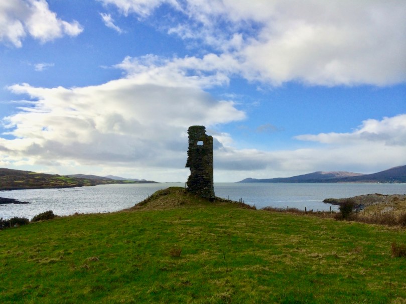
Before we leave Dunbeacon, I can’t resist a quick trip down to what’s left of Dunbeacon Castle. One of a string of O’Mahony Castles on the Mizen, this tower house once guarded the head of Dunmanus Bay. Its siting is strategic – no ship was going to penetrate to the head of this bay without being in clear view of this stronghold. The O’Mahonys controlled fishing and trade in this area from the 12th to the 16th centuries and became fabulously wealthy in the process.

What’s left of Dunbeacon Castle

This castle would once have been the dwelling place and administrative centre of a powerful chief. He would have hosted banquets where his poets and musicians entertained the guests with stories and song. Alas, after the Battle of Kinsale all the O’Mahony tower houses in this area were taken by the British and many that were left standing were dealt a final blow by Cromwell’s cannon.

Not much left – but what an incredible position!

The centuries pass. The old Mount Corrin mines are no more. The sizeable population sustained by potatoes was devastated by the Famine. Now the land is grazed by cattle and sheep and a few farm houses dot the landscape. It is a peaceful and beautiful place. Do the walk – you will be in the footsteps of farmers and chieftains, of herders and megalith builders and astronomers, of miners and fisherfolk who have called this place home for thousands of years.