Snakes Alive!

Year of the Snake 66 barabara trott

It’s about as far away as we can get from St Patrick’s Day, so it’s probably ok to talk about snakes in Ireland…

Ah yes – the old fable that he banished all the snakes out of the land…

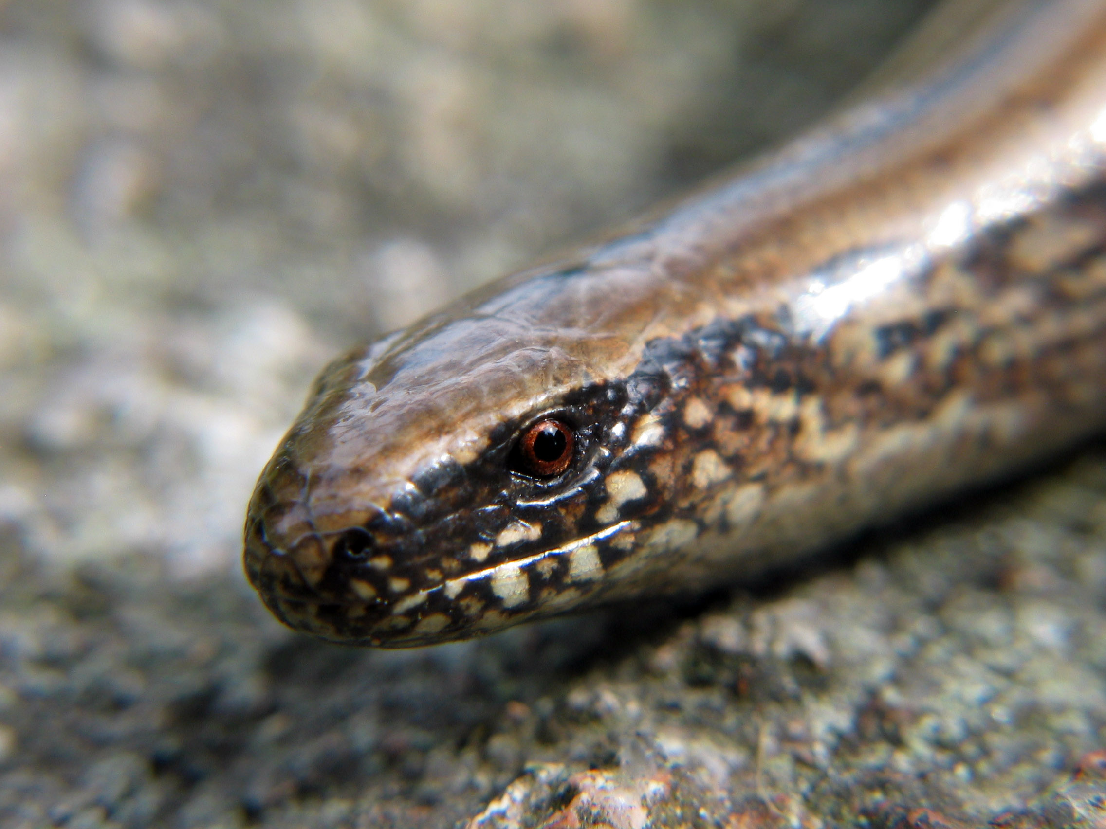
That’s enough of the ‘old fable’ – there’s no doubt about it: there are no snakes in Ireland at all, so it must be true that St Patrick sent them packing! Although I was a bit alarmed when, out walking in the Mayo hills a while ago, I came across this…

Slow-worm (Jonas Bergsten)

A slow-worm? Anguis Fragilis… How does that fit into the St Patrick story?

Well, there shouldn’t be any slow-worms here really – as the Saint expelled all the reptiles and lizards – and that’s a lizard. But evidently someone introduced them into County Clare illegally back in the twentieth century, and they’ve survived there. (Frogs were also introduced, incidentally, as a food source by the Normans).  My sighting in Mayo, however, is something of an anomoly…

But didn’t I hear that these serpenty creatures couldn’t actually live on Irish soil because of Ireland’s purity?

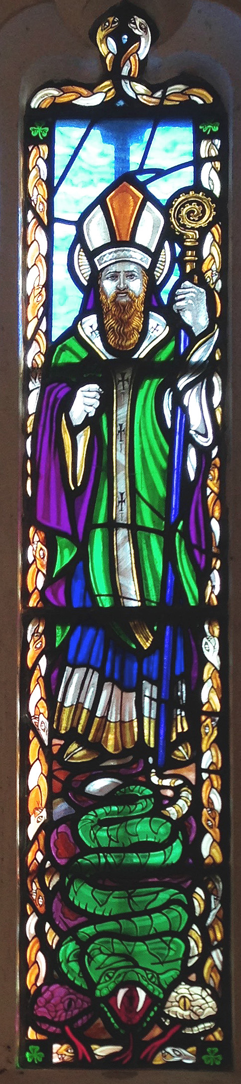
St P window GlastonburyNow you’re talking. It’s perfectly true that if you try to bring a snake into Ireland it drops dead as soon as you enter Irish waters…

Oh? Has that been proven?

Indeed – by Gerald of Wales. He lived in the twelfth century and states that ‘…it is a well-known fact that no poisonous thing can live in Ireland and if Irish soil is taken and scattered elsewhere it will expel poisonous things from that vicinity…’ Other stories mention toads brought to Ireland by accident (having, presumably, stowed away in the holds of ships) ‘…which when thrown still living onto the land, turn their bellies up, burst in the middle and die…’ Perhaps you’ve heard of the Fir Bolg?

I think so – aren’t they one of the early races who inhabited Ireland?

They are – and the name means Men of the Bags. They carried bags of Irish soil around with them when they travelled all over the world, because they would be kept safe by its serpent slaying properties…

I like that idea – remind me to go and do some digging in the garden. Where are you getting all this information from?

Much of it out of a most wonderful book: Ireland’s Animals by Niall Mac Coitor (The Collins Press, Cork 2010), but there are plenty of other early sources, many of which Mac Coitor admirably collects together. Perhaps the best of these is the old medieval Irish text Lebor Gabála Érenn – the Book of Invasions. I have already quoted from that in my story of Cessair, the very first person to set foot on Ireland in 2680 BC…

Yes, I remember that. She was Noah’s grand-daughter. Wasn’t it the case that Ireland was supposed to have been a land without sin, which is why she went there to escape the flood?

That’s her. And it’s a nice bit of symbolism that Ireland was without sin because it had no serpents…

But hang on – that was Old Testament times – long before the saints…

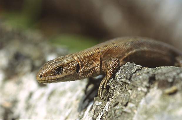
You do have a point there. And, you know, in archaeological terms there are no fossil records of any reptiles having ever been here in Ireland – except for one: the common lizard Lacerta (Zootoca) Vivipara which has always been here, and still is…

Common Lizard (Marek Szczepanek)

Now I’m getting very confused about St Patrick…

Don’t worry about it – it’s a grand story…

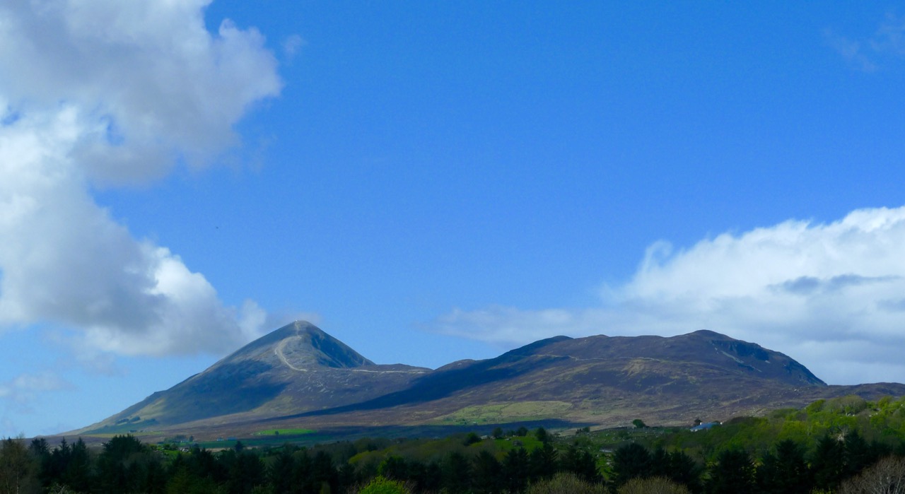
Yes, I have this picture of our good saint standing on the top of Croagh Patrick in Mayo and all the crowd of little snakes and reptiles climbing up there to surround him, only to be cast down to their doom by a sweep of his crozier…

Hmmm… but surely they would have just rolled and bounced down to a soft landing at the bottom? It’s only a hill, after all…

Croagh Patrick

You’ve obviously got something else in mind?

Well I like the story of St Patrick’s Chair, which is at Altadaven, Co Tyrone. The Chair is a huge boulder which seems to have been carved into the shape of a chair or throne. Beside it is a holy well – also ascribed to St Patrick – which appears to be a bullaun stone: offerings are made at the well and the trees around it are hung with rags and tokens. Altadaven means Cliff of the Demons, and it was evidently where all the snakes, serpents and reptiles once lived. The saint went there, sat on his chair (presumably) and cast them all down the cliff and into Lough Beag below…

Which is a bit different to just rolling down the hill at Croagh Patrick…

Wishing Chair Slemish

Another St Patrick’s Chair at Slieve Mish, Co Antrim – this one looks like a good candidate for the place where the snakes were cast down… (Irish Times 1956)

And there was a tradition at Altadaven of an annual gathering known as Blaeberry Sunday or ‘The Big Sunday of the Heather’, probably connected with Lúnasa customs. People would climb the rock to sit in the chair and make a wish which, of course, always came true. Then they visited the well and left pins and pennies behind…

Anything else we should know about reptiles in Ireland?

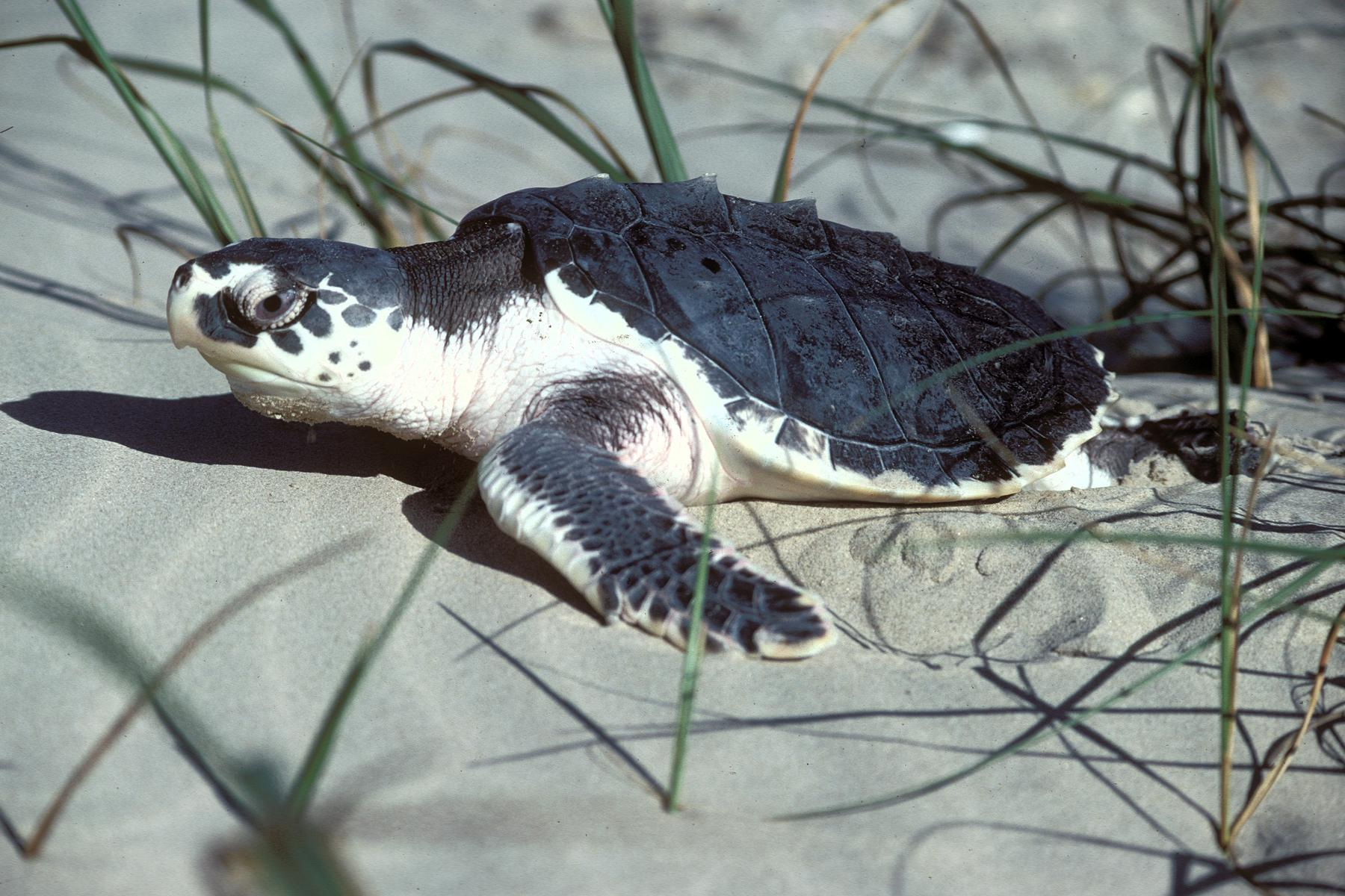
Kemps turtle

Well, earlier this year one of the world’s rarest turtles – the Kemps Ridley Sea Turtle – appeared in Donegal. Unfortunately it was dead – washed up on the beach. But there are also other small turtles which do inhabit Irish waters.

The exception to the rule, possibly. But perhaps being in the water isn’t quite the same as being on the land…

Peist 1611

I’m always keeping my eyes open. I had a ‘serpent’ experience once, in Devon. On my first visit to St John’s holy well up on Hatherleigh Moor I opened the door to the well (which was surrounded by a stone built enclosure) and there inside was an eel swimming around!

I heard that’s a very good omen – to see an eel in a holy well?

Oh yes – why wouldn’t I be a total believer in such things? In Celtic Brittany holy wells are always protected by a ‘Fairy’ who has the form of an eel, and is a benign spirit. Interestingly, though, there is no stream or watercourse near to the Hatherleigh well, so the eel must have travelled some away across the moor to get there – on dry land!

So – I have to ask: are there eels in Ireland?

eel

There are – Anguilla Anguilla – It’s a fish, so not a problem to the saint. Eels have been eaten in Ireland since the earliest human times and have been found in association with Mesolithic sites such as Mount Sandel, Co Derry.

Thank you – you’ve taken us on a serpentine tour through Irish history and mythology…

Mac Coitor


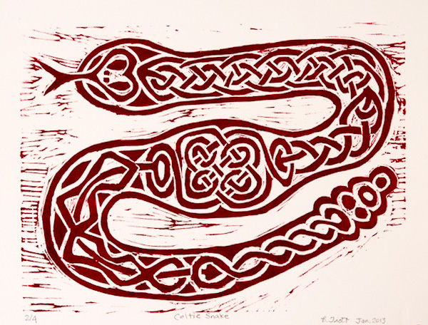
The heading picture Celtic Snake is by Canadian artist Barbara Trott; the Slow-worm is from Jonas Bergsten; the long window is in St Patrick’s Chapel Glastonbury; St Patrick in Bandon Cathedral is by Finola; the Lizard is by Marek Szczepanek; the Peist is from Speed’s Map of Ireland 1611; and Drowning Eels is courtesy of images.all-free-download.com

Irish Poldarks

black hole

Derrycarhoon Mine

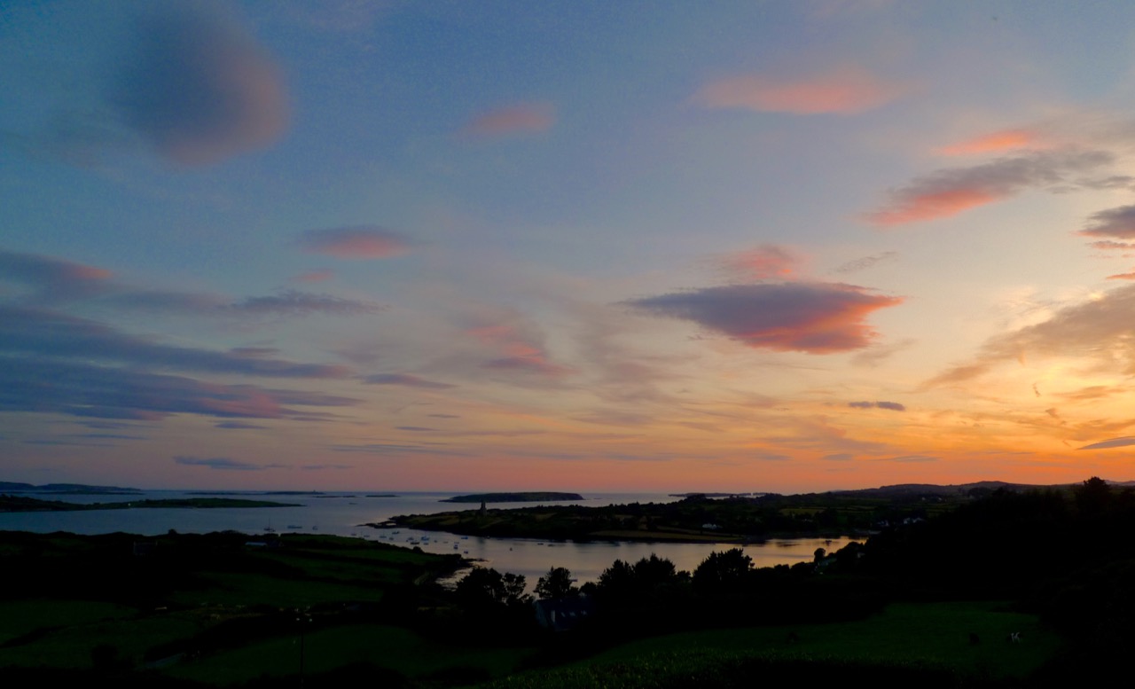
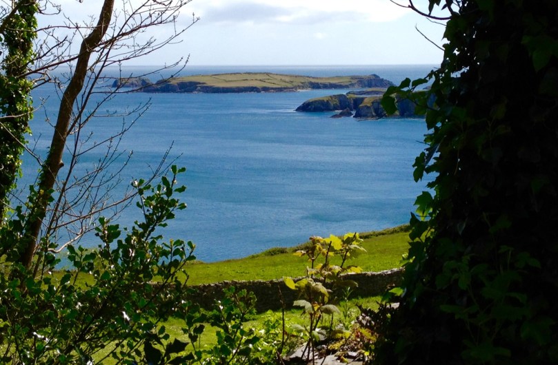
Schools are back; fields are being cut; the shutters are going down on the holiday houses around the Cove. And – the good weather has arrived! Hot days and red sunsets: West Cork is the place to spend autumn…
Full Sky

Autumn comes to Rossbrin Cove

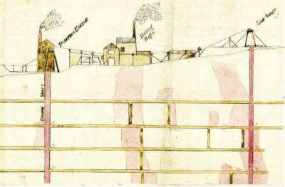
It was just such a golden autumnal-feeling day when our friend (and Fastnet Trails mastermind) Eugene McSweeney called us to see if we would like a trip out to the old metal mine north of Ballydehob, in the townland of Derrycarhoon. Of course we would! Local farmer William Swanton led the expedition: William’s family had connections with mining – he told us that his grandmother’s father had been a Captain of the mine.
William

William Swanton at the South Shaft, Derrycarhoon

You will know that we live in the townland of Cappaghglass, and this has a mining history, as does the neighbouring townland of Ballycummisk. Also, there are ancient mines on the slopes of Mount Gabriel, not far away, and more mining activity in other parts of the Mizen, Sheep’s Head and Beara Peninsulas.

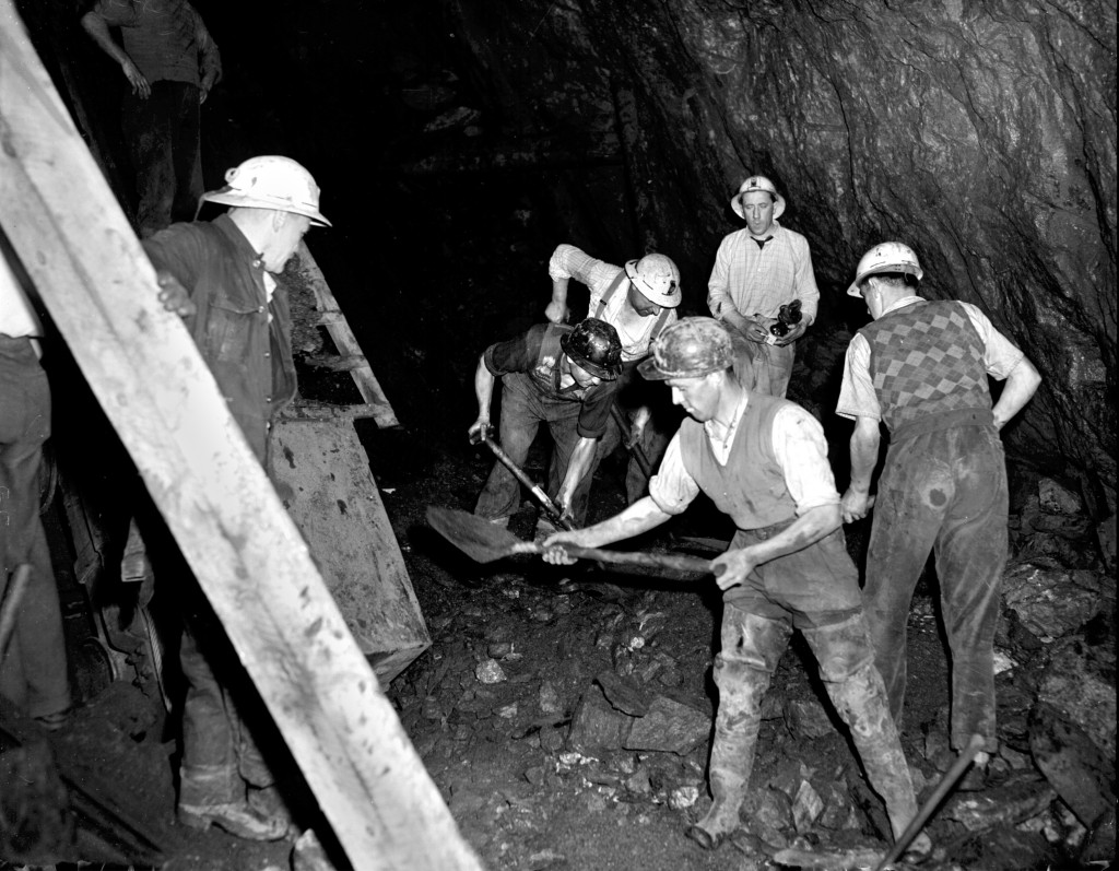
Allihies19571957 scene at Allihies Mine, Beara Peninsula

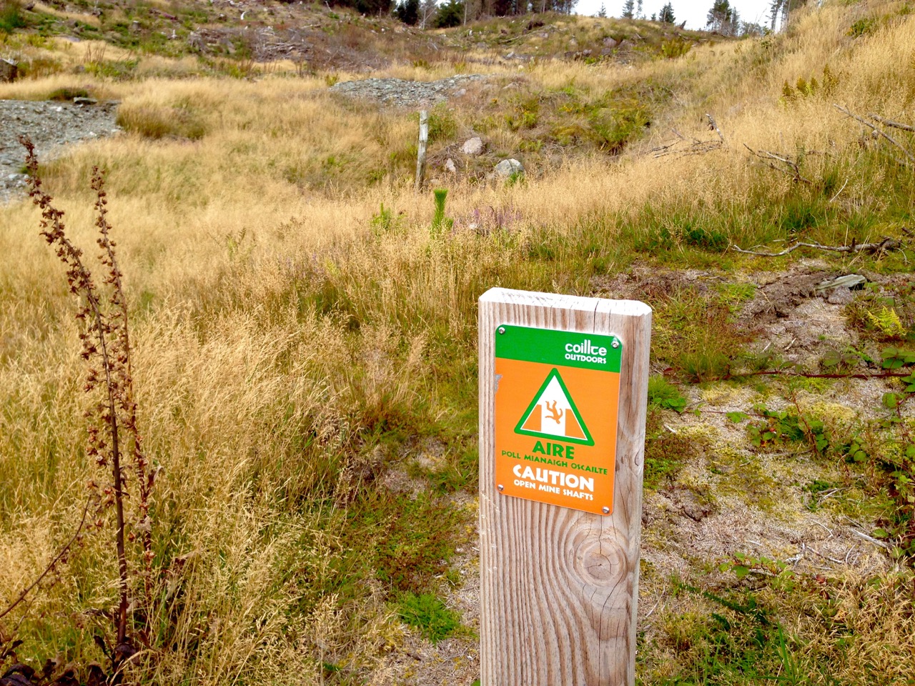
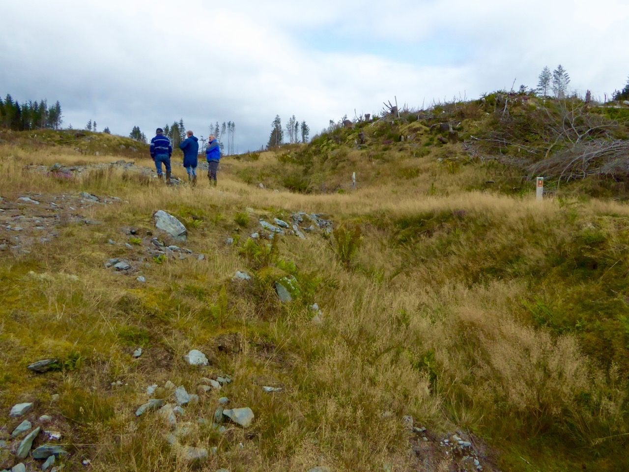
hodnett bookWhile many aspects of the 19th century history of the old mine at Derrycarhoon have been well recorded (I am indebted to The Metal Mines of West Cork by Diane Hodnett, The Trevithick Society, 2012), the site itself had for some time been difficult to reach and interpret as it was in a dense forestry plantation established in the 1960s and 70s. Now, however, much of the matured forest has been cleared (albeit leaving a devastated landscape) and it is possible to piece together the layout of the workings. Please remember that the mine is on land managed by Coillte and is subject to Coillte’s policies on access – permission must be sought from the landowner before visiting; also, a guide is essential – there is very rough ground and open and unguarded shafts and trenches.

danger

What is so special about this mine is that it has apparently been exploited firstly in prehistoric times, and then again in historic times – prior to its most recent incarnation in the 19th century. Professor William O’Brien of UCC recognises ‘…the recently-adduced evidence for early medieval operations at this site, which is quite unique in the history of Irish metal mining…’ (A Primitive Mining Complex at Derrycarhoon, County Cork – Journal of Cork Historical and Archaeological Society vol 94). While other mines on the Mizen Peninsula have shown evidence of being worked initially in the Bronze Age and then subsequently in modern times, Derrycarhoon is the only one to date which can confidently claim to have also been in use in between those times.

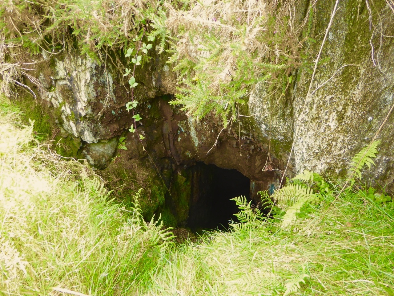
finola at the shaft

interior

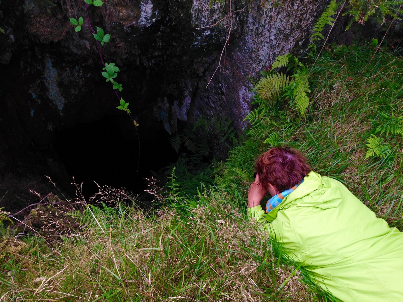
Intrepid Finola inspecting the deep shaft at Derrycarhoon, top, and her photo, below – note the copper staining

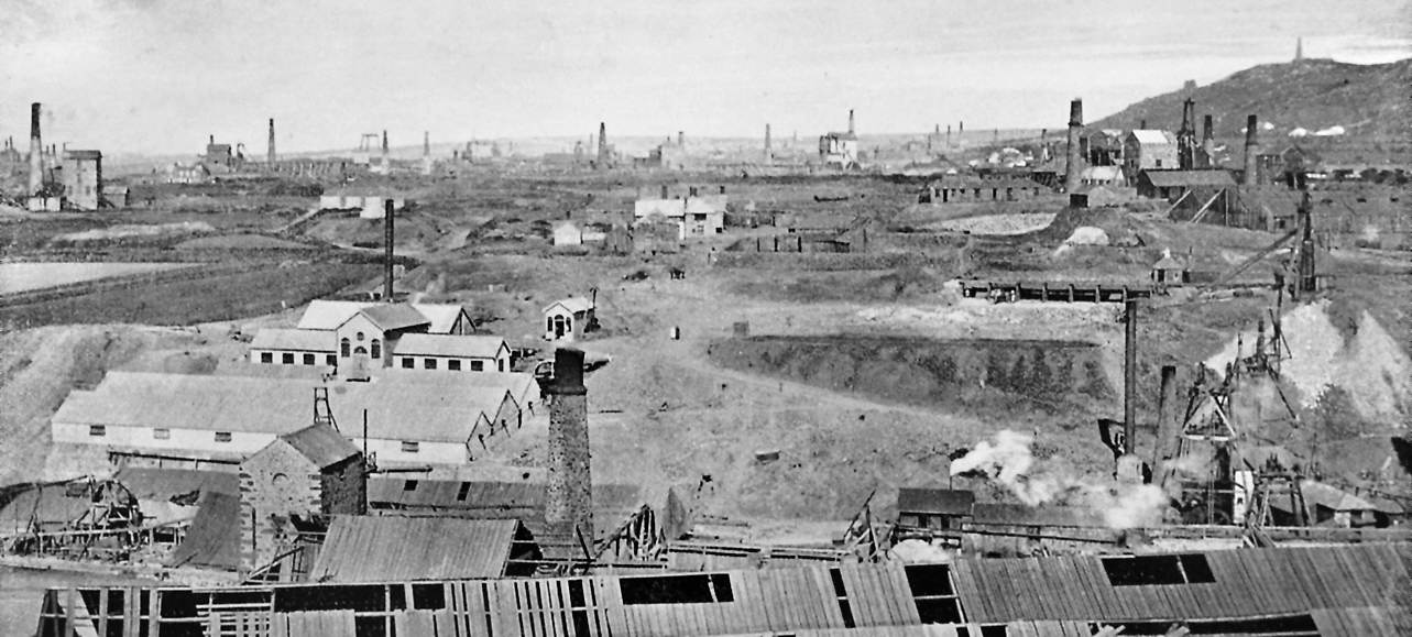
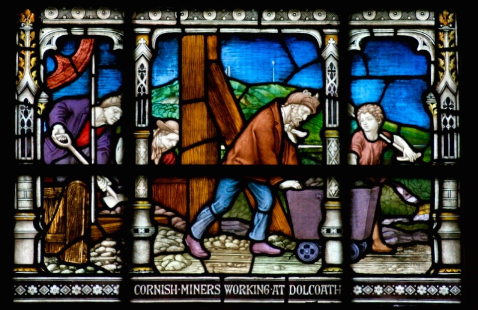
We have explored links between West Cork and Cornwall in previous blog posts (here, herehere and here). When it comes to metal mining anywhere in the world there’s usually a Cornishman involved and here is no exception to that rule. The mine agents – whose job it was to prospect and direct operations – were always known as ‘Captains’. A dynasty of Mine Captains was founded by Charles Thomas (1794-1868), a mining agent and share dealer in Camborne, Cornwall – responsible for the very successful development of the Dolcoath Mine in Camborne. Mineral rights here were established in 1588 and copper was being produced in some quantity by 1720. Thomas (who had started work in the seams of Dolcoath at the age of twelve) stepped in as Captain in 1844 after a period of considerable decline in metal production. Charles was a real-life Poldark – insisting that the apparently dwindling seams of copper be followed to the bitter or fruitful end – and his skills saw Dolcoath (known as the Queen of Mines) become the largest, deepest and most productive mine in Cornwall, with its principal shaft eventually reaching a depth of 3,300 feet (1,000 m) below the surface – and incidentally taking the miners between 2 to 3 hours to descend and ascend, significantly reducing their working shifts below ground. Thomas was succeeded at Dolcoath by his son Josiah and then his grandson Arthur, taking the mine well into the twentieth century. (Its successor, the South Crofty Mining Company went into administration in 2013).

Dolcoath 1893

Dolcoath, Cornwall – Queen of Mines – 1893

The point of this digression into Cornish mining history is simply that three more sons of Charles Thomas, Captain of Dolcoath, came to the west of Ireland in the mid nineteenth century and were instrumental in the development of many of the mining activities here, including those on the Mizen. The brothers, Charles, Henry and William arrived by 1841 with their own families – yet more sons – who proceeded to populate, at one period or another, the Captaincies of most of the West Cork activities, including our own Cappaghglass workings and the Derrycarhoon venture.

West Cork Mine Captains: Henry Thomas (left) with his niece and William Thomas (right) with his daughter

The modern age of mining commenced at Derrycarhoon in 1846, under the management of Captain Charles Thomas. Charles discovered no less than six old mines during his preliminary explorations, and recognised similarities between them and the shallow workings of medieval tinners which he knew from his childhood home on the moors of Bolenowe, near Camborne, where such workings were extensive and visible. That’s how we know that this mine had been active in those times. But also, as his brother Captain William records in an article dated 1853:

…In the Derrycarhoon Mountain some excavations have been found, which no doubt were made at a very remote period, as they are invariably designated by the country people ‘Danes’ or ‘Danish Works’, but whether these ancient works were carried on or not by the Danes is not easy to determine: it is, however, an historical fact that the Danes visited Ireland many hundreds of years ago…

1843 drawing danish implements

Nineteenth Century Archaeology: Excavated ‘Danish Implements’, 1843 – in fact these finds are likely to be Bronze Age or Iron Age – have a look at  Umha Aois, a Roaringwater Journal post about early metalworking

(Thomas 1853) …One of these singular excavations at Derrycarhoon was a few years ago cleared of water and rubbish; it was found to be 60 feet deep and about 120 feet in length… the lode or vein appears to have been literally pounded away by stone hammers, a great many of which were found in the old works and which were evidently brought from a considerable distance, there being no rock of the same character within some miles…

Hand-held stone maul used at Derrycarhoon in prehistoric times

We found evidence at Derrycarhoon of these stone tools, generally known as ‘cobble stone hammers’ and probably originating on the beaches below us: their presence almost certainly confirms that the earliest workings here were Bronze Age, as confirmed by Timberlake and Craddock in a paper of 2013: …The distribution of known occurrences of this type of cobble stone hammer at or near to mining sites in the British Isles correlates with some (but not all) of the areas of near-surface copper deposits, particularly along the west coast of Britain… Recent fieldwork suggests good survival of tools at mine sites, even where these have become dispersed as a result of redeposition by later mining… Hammer stones, or fragments of hammer stones, are more or less indestructible, surviving any amount of later reworking. In most cases the fragments of these tools never disperse far from source, even when redeposited several times. Experience has shown that if a range of these can be found, then the approximate site(s) of prehistoric mining can usually be identified…

derrycarhoon trumpet

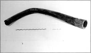
Further intriguing finds were made at Derrycarhoon in the nineteenth century, including a ‘notched pole’, a ladder and a trumpet-like wooden tube 75cm in length. Whether these artefacts were medieval or earlier we do not know but, remarkably, the tube still exists and is kept in the spectacular Pitt-Rivers Museum in Oxford (why not here in Ireland?). I could only find a poor quality early photograph of this.

Pitt Rivers Museum, Oxford, UK

Pitt-Rivers Museum, Oxford – where the Derrycarhoon Trumpet (above) is stored

The topography at Derrycarhoon – which is reappearing now that the forestry plantation has been cleared – is very similar to the Bronze Age mining sites on Mount Gabriel: long, shallow trenches interspersed with pits and shafts. However, the superimposition of medieval and modern interventions clouds the issue. William Swanton pointed out to us a drainage adit driven horizontally for some distance through the bedrock. We assume this is probably the work of the Victorian speculators.

three figures

portal

Mine explorers (top) and portal (below)

Captain Charles Thomas evidently raised some 30 to 40 tons of ‘rich grey copper ore’ after the ‘old workings’ had been cleared during the 1850s. Derrycarhoon Mine was listed from 1862 to 1873 under the ownership of Swanton and Company but there is no record of any production at this time nor afterwards, although prospecting trials were made in 1912 by a John McArthur of Glasgow and again in 1965 by the Toronto Mining Company. We found part of a core sample on site, presumably dating from that trial. Then the trees took over…

Landscape of spoil: copper traces in the discarded rubble; baryte – and views west to other Mizen mining sites, Mount Gabriel and Mount Corrin

Today, the rough landscape is marked only by green-stained spoil heaps, earthwork undulations and a few recognisable pits and shafts. The litter includes traces of barytes, sometimes a by-product of copper production. If you are not interested in mines or the history of them you will be pretty unimpressed. But, as a microcosm of our own local history, we were fascinated by our exploration of Derrycarhoon and are very grateful to William and his ancestors (were they the Thomases – our own Irish Poldarks?).

Cornish Miners Window

Fastnet Trails: Rossbrin Loop, Part 2

Start this walk at the Rossbrin boat slip

Start this walk at the Rossbrin boat slip

A joint post by Finola and Robert

In Part 1 of this trail post, we took you around the first leg of the Rossbrin Loop trail, which we have broken into two shorter rambles.

This one is steeper and climbs higher, but it’s full of interest and you can take it as easy as you like. For this walk, you park at the Rossbrin boat slip, at the eastern end of Rossbrin Cove.

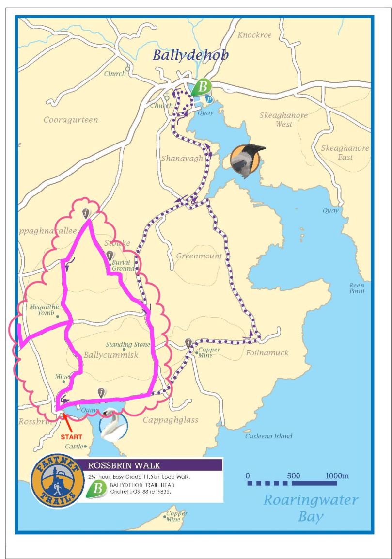
Rossbrin trails route revised Export

You won’t need off-road boots and you can take the dog. Give yourself two to three hours, depending on whether you decide to do the detour to see the wedge tomb. This is a nice, rambling pace, with lots of time to stop and chat to anybody you meet, admire the wonderful views, take lots of photographs, and maybe indulge in a picnic along the way. 

The first hill affords lovely views back to Rossbrin Castle

The first hill affords lovely views back to Rossbrin Castle

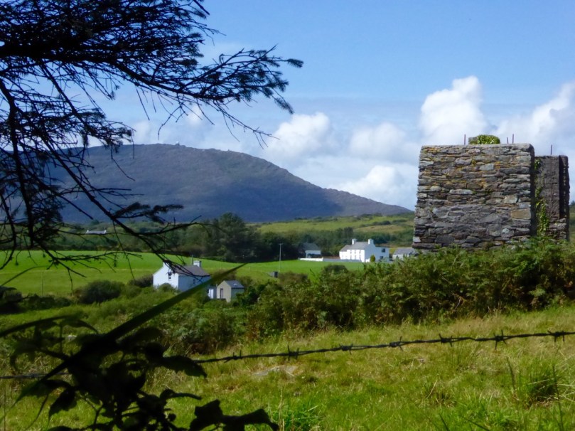
Set off north and turn right after the boat yard and then left up the hill. As you ascend you will see the remains of old mine workings to your left. The earliest records of mining at Ballycummisk refer to 16 tons of ore raised in 1814 and 42 tons in 1815. In 1838 a shaft was sunk 20 fathoms, mainly through barytes and shale. In 1857, 174 tons of ore were sold, mainly copper. By 1861 the mine was recorded as being ‘one of the best developed and very satisfactorily worked.’ The ‘Lady’s Vein shafts’ are marked on the OS 6” map. The Ballycummisk Mining Company worked the mine from 1872. In 1878 a section down to 228 fathoms was noted, but in the same year the mine was recorded as ‘abandoned’. Nowadays some concrete pillars and the slag heap are the most visible remains of the once thriving mine-site.

Old Mine site

There are extensive views over the countryside beyond the old mines

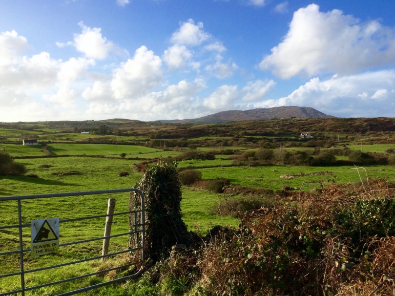
At the top of the hill, where you will find a sign to the riding stables, turn left and head through the townland of Ballycummisk with pleasant country views to the west. Once you get to the crossroads you may see a little wayside stall selling vegetables on the honour system. If you’ve brought a backpack, this would be a good place to stock up on carrots, potatoes, or yellow tomatoes.

Beware of the bull

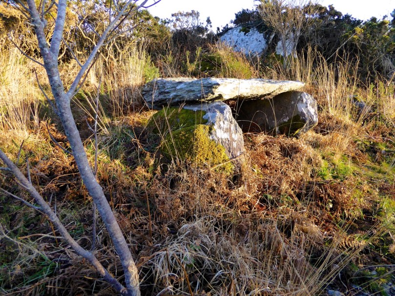
Wayside StallAt this point, we recommend a detour to see the Kilbronogue wedge tomb. Turn left and walk until you reach the next crossroads. Go straight through the crossroads and a short distance on you will see a lay-by on the right side of the road. Step over the wire and find your way up the path that has been generously maintained by the landowner. In early summer this path is awash with ox-eye daisies. It meanders up through a birch plantation until you emerge in a small clearing to find the wedge tomb.

Path to wedge tomb, Kilbronogue

Like most wedge tombs, this one is orientated to the west – take a look at our post Wedge Tombs: Last of the Megaliths for lots of information on this class of Bronze Age monuments. This is a lovely example, and we are grateful to Stephen Lynch for ensuring its wellbeing and providing access to it.

Kilbronogue Wedge tomb

Retrace your steps to the second cross roads and turn left up the hill, turning right when your reach a T junction, and then take the left fork at the Y. This is a pleasant country road – farmland stretches on either side, with ruined or abandoned houses dotted here and there among the neat modern farmhouses with their colourful paint and bowery entrances.

In spring and summer the hedgerows are heady with wild flowers of every variety.

Turn right again at the next junction and you will come shortly to the beautiful and atmospheric Stouke burial ground. Although we have read that there are the ruins of an old church in this graveyard, we have never found it. But there are other items of great interest here, the traditional burial place of many island dwellers. In the centre you will find the grave of two priests, Fathers James and John Barry, who were parish priests here during the time of the famine. According to the Historic Graves listing for Stouke  “Sarah Roberts who is buried here in this tomb, died at an early age… worked as a housekeeper for the parish priest… When his sister died and was also buried here, Sarah’s coffin was in perfect condition. She was reburied with the parish priest even though she was not a Catholic. People of the parish come to pray at this tomb on the 24th June at John’s Feast Day.”

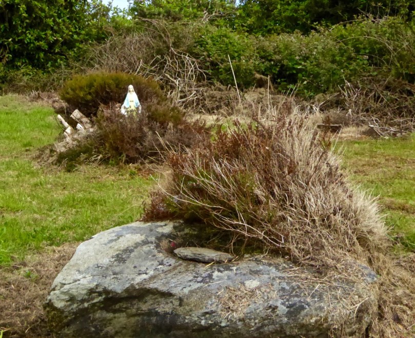
A little way to the right of this grave is a rock, partially covered by heather, that contains a bullaun stone, known locally as the Bishop’s Head. Once again, according to the Historic Graves entry, “The bishop was confirming children in a nearby church. Red coats came in and beheaded the bishop.”

Amanda photographs the bullaun stone

Amanda photographs the bullaun stone

There are offerings of coins in jars at the bullaun stones, and at the priests’ grave. Leave one too, along with a prayer or wish for a loved one.

Bishops Head bullaun stone, Stouke Graveyard

Bishop’s Head bullaun stone, Stouke Graveyard

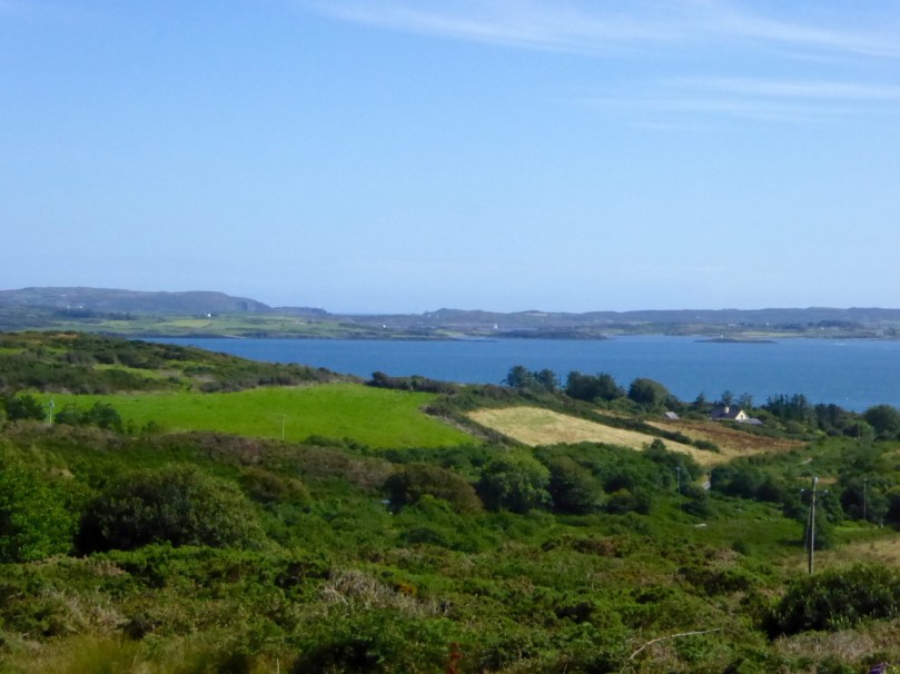
From Stouke the road drops down to a cross roads. Go straight through and start to climb again up to Cappaghglass. Ignore the left turn and carry on until you reach a Y junction. Take the right fork, pass all the ripe blackberries (if you’re able) and as you crest the hill the whole of Roaringwater Bay is laid out before you. Few views in the country can equal this one for sheer scope: all the islands in Carbery’s Hundred Isles come into view, The Baltimore Beacon gleams on its rocky outcrop to the east, while the Fastnet Rock sits sturdily on the horizon, and the Mizen Peninsula stretches away to the west.

Roaringwater Bay from Cappaghglass

Descend the steep hill, turning right at the T junction, and meander down to Rossbrin Cove.

Shaft of Sun

Now a peaceful boat harbour, Rossbrin in the 15th Century was the domain of Finghín O’Mahony, the Scholar Prince of Rossbrin, a man who used the riches extracted from taxes paid by Spanish and French fishermen to fund a centre of learning here in Rossbrin where scribes and learned men wrote and translated books which still exist today. The ruined section of the castle still standing gives little evidence of the erudite court that was once respected throughout Europe. A fish ‘palace’ for processing pilchards once provided employment to the people of Rossbrin, but little trace remains of it, or the holy well at the shore that once attracted those seeking cures for their ailments.

Kayaks at Rossbrin Cove

If the weather’s warm and the tide’s in, this is a good spot for a dip. No? Well, a photograph, then. 

We hope you’ve enjoyed the two Rossbrin Loop walks – do let us know how you got on.

Ballycummisk Mine

Ballycummisk Mine

Oldcourt

red hull

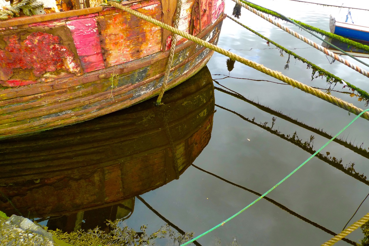
…At Oldcourt a boat-building yard flourished within the walls of an old O’Driscoll castle overlooking the pier and river. Schooners and steamships used to anchor at this spot, the highest point they could travel up the river. Here their cargoes of coal and other supplies were unloaded and placed on specially built lighters with a small draught that would be poled along a further sluggish turn or two upstream to the pier at Skibbereen. In this way cargoes of cattle were brought up by islanders to be sold at the market… (description of the townland of Oldcourt from The Coast of West Cork by Peter Somerville-Large 1974)

gentle Ilen

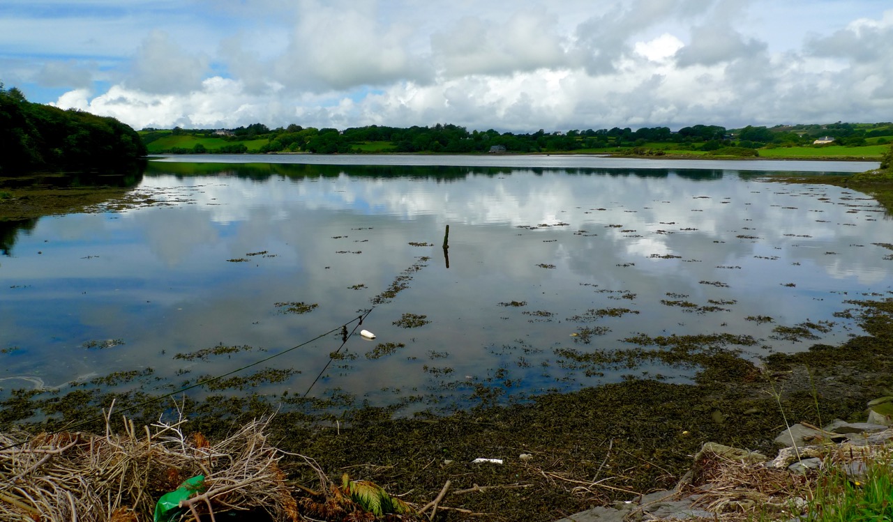
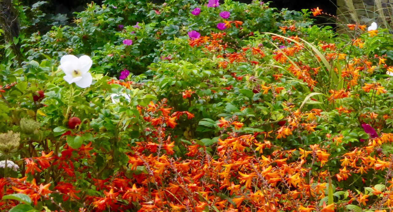
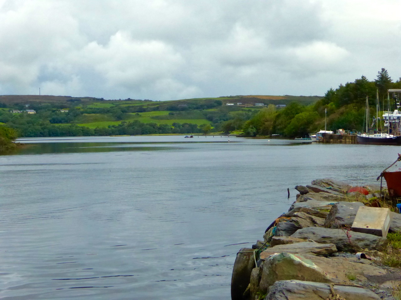
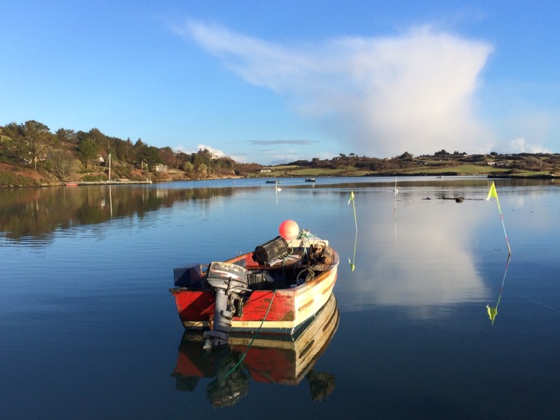
The tidal River Ilen making its lazy way out to Roaringwater Bay on a late summer evening has a melancholy beauty: it is wide and slow and – mid tide – is a perfect mirror to the sky. The sounds of Oystercatchers and Curlews coming over the water always bring thoughts of autumn: the harvest is ready to cut, the verges are brilliantly orange with the montbretia and the hedges purple-red and weighed down with fuscia.

Montbretia

wide river

We went down to Oldcourt to seek out history and atmosphere. We knew that it had once been a transport hub for the transhipments of goods and we wanted to see what might be visible from those earlier times. It was the river Ilen (pronounced eye-len) that gave birth to Skibbereen following a pirate raid on Baltimore in 1631. According to Skibbereen historian Gerald O’Brien …in the wake of the shock of that – the most daring pirate raid mounted against Britain or Ireland – a small number of survivors rowed upstream to resettle in the safety of the Ilen Valley. The role of this river-borne migration from Baltimore [was] a factor in the foundation of Skibbereen… (Journal of the Skibbereen and District Historical Society, Vol 7, p 91).

reflections

beyond the bridge

rust

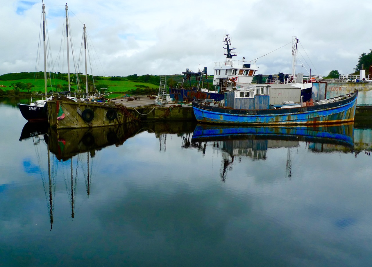
We found atmosphere a-plenty. On the upstream side of the wide inlet where the transhipment quays were sited is a streamlined modern boatyard where sleek yachts are wintered and serviced while, opposite and downstream, is a far more eclectic establishment surrounding and embracing the remains of the medieval castle and bawn: this is Hegarty’s‘…one of Ireland’s last surviving traditional boatyards…’

birdie in circle

Our aim was to search for the old quay and the medieval buildings which had been part of the castle demesne, but we were fascinated to pick our way through boats of all kinds – classic, sailing, fishing, ferrying – and boat paraphernalia: here an old decapitated wheelhouse, there a collection of masts, everywhere ropes and tackle…

green ropes

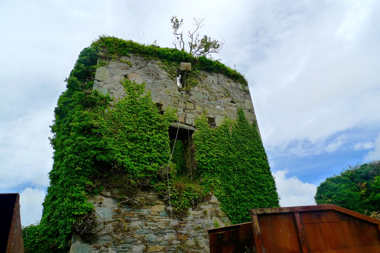
Oldcourt Castle is a tower house standing four storeys high but originally at least one storey higher, once surrounded by a bawn, some ruins of which remain. It was an O’Driscoll clan castle, probably dating from the 15th century, and was captured by English forces after the Battle of Kinsale in 1601.

Old Court Castle

Ilen and Castle

Part of the castle bawn was used as a grain store up to comparatively modern times: now it houses a fascinating boat restoration. The story begins with Connor O’Brien (1880-1952) whose ketch, the Saoirse, took him on a circumnavigation of the world between 1923 and 1925. On this journey he stopped off at Port Stanley in the Falkland Islands. The islanders were so impressed at the way the Saoirse rode the waves that they asked O’Brien to arrange the building of a similar boat. This was the Ilen, named after the river and estuary and registered at the port of Skibbereen in February 1926. She was 56 feet in length overall with a beam of 14 feet and a displacement of 45 tonnes. Connor set sail in August 1926 from Cape Clear, arriving at Port Stanley in January 1927 where he handed it over to the new owners, The Falkland Islands Company, in exchange for £1,500. There she remained until the early 1990s, carrying cargoes of stores, mail, passengers and sheep. Limerick man Gary McMahon found it abandoned on one of the islands and determined that it should return to its homeland for restoration. There was great excitement when he sailed the ketch back into Baltimore in 1998.  The refitting of this eighty-two year old vessel in the old bawn at Hegarty’s, Oldcourt, is now the centre of an educational project allowing people to experience first-hand the ancient skills of wooden boat building.grain store

ilenframesThe old grain store – formerly part of the Castle bawn – now houses the restoration project of the AK Ilen (above – courtesy of Roeboats)

Such a hive of activity at OIdcourt today… Echoes of busy days gone by when the schooners were arriving with their cargoes bound for the growing town of Skibbereen.

Ilen postage stamp

Fastnet Trails: Rossbrin Loop, Part 1

A joint post by Robert and Finola

In Robert’s post about the Fastnet Trails, we introduced you to this new trail system, and in particular to one of the delightful walks – the Lisheenacrehig Loop. Today’s post is about another of the walks – the Rossbrin Loop. This walk is all on country boreens, so you can wear your ordinary walking shoes and take the dog if you like but keep him on a leash and stick to the road. You will pass other dogs on the way, as well as fields of livestock.

The high road

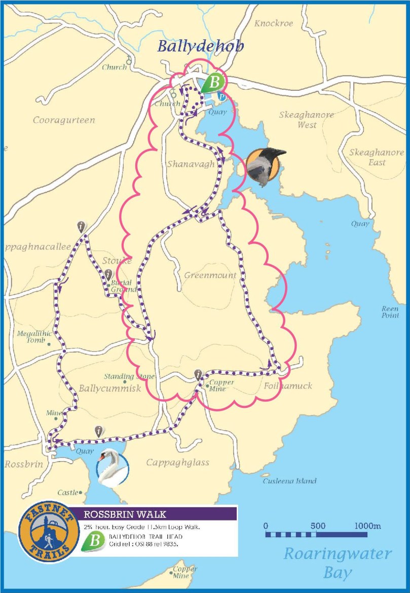
You can do this whole walk as laid out in the brochure. It’s just under 12km and will take you at least three hours, but probably more if you like to stop to explore, take pictures, have a chat along the way. Oh, and see where it says ‘easy grade’? Take that with a pinch of salt – this walk will give you a good work out as it takes you from sea level to 70m (230ft) and back again.

Rossbrin Trail 1

But we know that many of you like to take an easier pace and, like us, might find a 12km loop a bit intimidating, so we’ve decided to give you another option. We will lay out a 2-walk option for you, beginning with Walk 1 now, and we will do Walk 2 in a future post. We provide our time estimate for a meander rather than a march. And – a disclaimer: our suggestions depart slightly from the official Fastnet Trail and have not been sanctioned by that group. Where you depart from the marked trail, you walk at your own risk.

Walk 1: Ballydehob, Greenmount, Foilnamuck, Cappaghglass, Ballydehob

Time: 2 to 2.5 hours (with diversion)

Level: Easy but some steep stretches

Take: Binoculars and camera

Twelve Arch Bridge

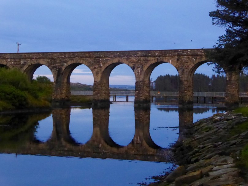
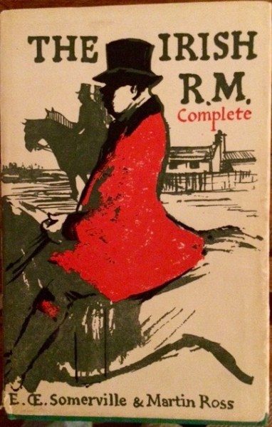
Park in the Ballydehob car park just east of the river estuary and start by taking the lovely nature walk that takes you over the 12 Arch Bridge. This beautiful structure was once part of the West Carbery Tramway and Light Railway. A train ran across this bridge from 1886 to 1947 – Robert has written about The Flying Snail that traversed West Cork, but for a real flavour of what it was like read Poisson d’Avril in Somerville and Ross’s The Irish R.M. Here’s the first paragraph:

The Irish R.M.The atmosphere of the waiting-room set at naught at a single glance the theory that there can be no smoke without fire. The stationmaster, when remonstrated with, stated, as an incontrovertible fact, that any chimney in the world would smoke in a south-easterly wind, and further, said there wasn’t a poker, and that if you poked the fire the grate would fall out. He was, however, sympathetic, and went on his knees before the smouldering mound of slack, endeavouring to charm it to a smile by subtle prodding with the handle of the ticket-punch. Finally, he took me to his own kitchen fire and talked politics and salmon-fishing, the former with judicial attention to my presumed point of view, and careful suppression of his own, the latter with no less tactful regard for my admission that for three days I had not caught a fish, while the steam rose from my wet boots, in witness of the ten miles of rain through which an outside car had carried me.

Ballydehob Quay saw brisk trade in the days before the Bay silted up. The lovely old Pier House once functioned as a coal warehouse. 

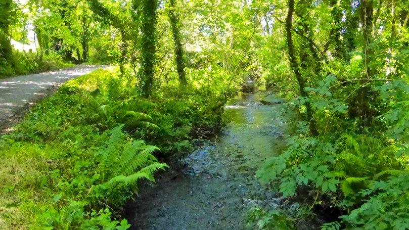
Greenmount Stream

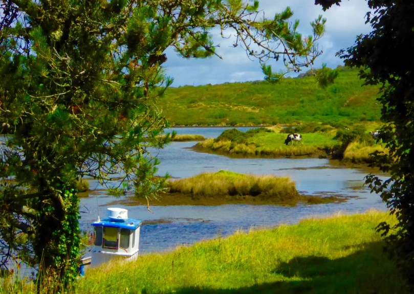
Following the walkway, you emerge by the school and turn left on to the Greenmount Road. This can be a busy stretch, so be careful along here. Once you get to the turquoise shed, turn left. Here you find yourself beside a burbling stream that empties into Ballydehob Bay at a small and picturesque pier. This and others like it were busy piers in the old days, serving the fishing boats as well as the sand boats that worked these waters, dredging sand to be used as fertiliser and building material. Nowadays this little inlet seems hardly navigable and the same blue and white boat has been moored here for a long time.

Greenmount Quay

The road climbs steadily up now past working farms. Looking back towards Ballydehob you can see the Bay and even the 12 Arch Bridge in the distance.

Pastoral

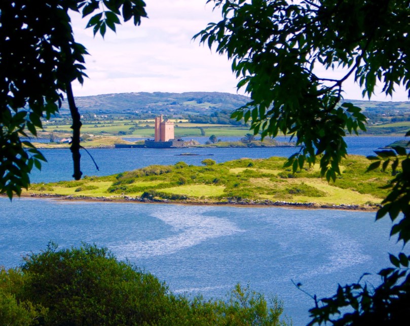
As you round a corner your view changes  and Kilcoe Castle comes into view. Now home to Jeremy Irons, who has restored it beautifully from a complete ruin, it was a classic 15th century tower house owned by the McCarthy Clan. So well was it situated and defended that the inhabitants were able to hold out for two years in the aftermath of the Battle of Kinsale (1601). Situated on a tiny island and glowing a soft amber colour, it is a beloved landmark in these parts.

Kilcoe Castle from Greenmount

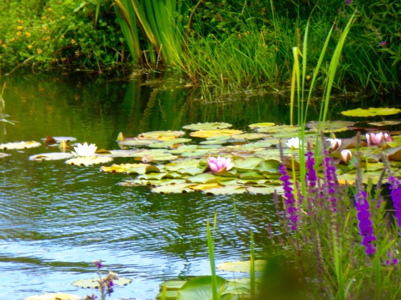
Below you is a shallow bay that is a haven for shorebirds and seals. If the tide is out linger a while and use your binoculars to see what you can pick out along the tidal flats below you. If you’re lucky the seals might be out along the rocks, sunning themselves. Once underway again, you’ll pass an old cottage on the left. A recently-dug pond in its garden is already full of water lillies.

Water lillies

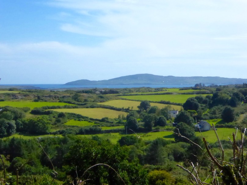
Continue now along the narrow boreen and brace yourself for the climb to the highest point  of the walk. No longer on leafy lanes, you are now walking on a bare plateau with panoramic views in all directions. The whole of Roaringwater Bay gleams before you. To the east, towards Kilcoe, lie the mussel beds that now dot this part of the Bay. Sherkin Island and Cape Clear are on the horizon, as is the Fastnet Rock. Ahead of you is the looming shape of Mount Gabriel, dominating the skyline as it does in so many parts of West Cork.

Fields of Cappaghglass

If you look carefully here you will see that the gorse and bracken barely conceals the outline of tiny field walls. There was a large population around here once and a thriving industry. Read Robert’s piece, Copper Country, for more about the mining activities of Cappaghglass. There are a few clues left – the stump of a large chimney that once provided a prominent landmark but that was felled by lightning can still be seen.

Rust and heather

Don’t turn left here (as the trail map wants you to) but instead continue straight on and turn right at the T junction and descend to the crossroads. From the crossroads you can go right and follow the road back to Ballydehob. But if you still have the energy and want to prolong the walk a little, there a diversion here that is worth considering. Turn left and climb the hill until the road flattens out. About 500m from the crossroads look up and to your left and you will see the silhouette of a large ring fort. A tiny green lane leads up to it between some houses but it is on private land.  

Ballycummisk Ring Fort

Irish ring forts generally date to the Early Medieval period – this one may be between 1500 and 1000 years old and would have been the enclosure of a farm house. A wooden fence on top of the earthworks would have kept wolves out and animals in. But the prominent position of this one also meant that it would have been a high-status dwelling. There are hints of a fosse (an outer ditch), which was a defensive feature, and reports of a souterrain, or underground passage, situated in the middle. The ridges of lazy beds – the traditional potato-growing grooves – cross the interior of the fort, indicating that this ground was used to feed a family until the area was de-populated in the aftermath of the famine. There is a large standing stone, known locally as Bishop’s Luck, above the ring fort. This could be Bronze Age or even older.

Textures

It’s an easy walk, downhill all the way, back to Ballydehob. You’ll be more than ready for a coffee and cake in Budds or a lovely bowl of soup in the Porcelain Room by the time you get there. Tell them the Roaringwater Journal sent you.

Wall E lurking

See you next time for Walk 2.

Umha Aois

spearhead

There’s a magic to the working of metal: you can pick this up when you are doing it, or when you are watching others do it. It could be the arcane transformation of rough nuggets of ore, first into liquid and then into beautiful solid objects that inspires that impression – or perhaps it’s because the senses are battered by the fierce heat, the molten rivulets, the streaming sparks, the incessant hammering, the sheer excitement… It’s no wonder that our ancestors embraced the emerging technologies hundreds of generation ago, and created spectacular objects which, today, we place in our museums and venerate.

sparking

Umha Aois are artists and sculptors working as ‘experimental archaeologists’ who have been in Skibbereen this week as part of the Skibberen Arts Festival. They use Bronze Age metal working techniques to produce replicas of ancient tools, weapons and musical instruments and also contemporary art objects. We went to their workshops set up in the grounds of Liss Ard House and met Holger Lönze – a locally based sculptor – James Hayes from Bray and their colleagues who are researching and using stone and clay moulds, ‘lost wax’ processes and charcoal pit-furnaces.

Robert holding a recently cast bronze bell, while Finola tries out an adze

It’s very appropriate that we should be looking at Bronze Age metalwork in our own corner of West Cork as we are in the shadow of Mount Gabriel, site of substantial copper mine workings probably dating from some three and a half thousand years ago. A number of Bronze Age mines have been found on the Mizen Peninsula: it must have been a significant local activity and source of trade. It has of course continued almost up to the present day; our own townland of Cappaghglass saw considerable copper extraction during the nineteenth century.

copper mountain

Copper Mountain – on Mount Gabriel can be found the sites of 32 separate workings dating from 1700 – 1400 BC, but there is no evidence of smelting or metalworking in the same vicinity: perhaps the ‘magic’ of the process required it to be carried out in more secret places?

Back to the Umha Aois project (it’s pronounced oowah eesh and means Bronze Age): we saw pieces in various stages of production, including axe heads, adze heads and spear heads, cast from stone moulds. They are elegant objects, especially when they have been polished to a gleaming finish.

axe heads

Bronze axe head, showing the mould used to cast it

The group was using pit furnaces which they had constructed on site. These consisted of basin shaped depressions in the ground lined with clay, and pipework of clay running from two sets of bellows. The clay pits were filled with charcoal and fired to a high temperature to convert the ore in the crucibles to a molten state.

empty furnace

Top – the principle components of a Bronze Age pit furnace; below left – crucible being heated; below right – the bellows in action

In another shelter we were also shown the ‘lost wax’ process: small objects were shaped in wax and then encased in clay. The wax was melted, leaving a mould in the clay cavity which was then filled with molten metal. Once hardened, the clay moulds are broken apart; the copper or bronze objects are then finished and polished. Here is a BBC video that demonstrates these techniques. There are incredible examples of this type of worked metal in the National Museum in Dublin, including some in gold – thousands of years old and yet so elegant and sophisticated.

melting out the waxClay moulds used in the ‘lost wax’ process

Holger has also made a Bronze Age musical instrument, which he demonstrated for us. The pattern is based on ‘trumpets’ which have been found in Europe, the finest being the Loughnashade trumpet, discovered during drainage works at the site of a former lake in County Armagh. Holger’s trumpet is a bronze cast: some finds have been made from curved and rivetted sheets of bronze. Here is a link to a recording of the sound made by a similar reconstructed instrument.

Holger Lönze conjuring up ancient music!
By exploring techniques, lifestyles and behaviour of our forebears through practical application, experimental archaeologists such as Umha Aois help us to understand that people who lived in the Bronze Age were not intellectually ‘primitive’ as was once thought; they have passed down to us their own aesthetic appreciation of art, music and their highly developed knowledge of sciences that enabled them to construct the complex megalithic monuments – and enigmatic Rock Art – which are yet beyond our own understanding.

Experimental archaeology in the walled garden at Liss Ard

Our ancestors left behind rugged stone monuments, landscapes which have shaped the pattern of our countryside, and sublimely beautiful objects: magic to our eyes and senses.

This Bronze Age gold disc – now in the National Museum, Dublin – was found at Sparrograda, Ballydehob 
(c) National Museum of Ireland

sparrograda disc