Snap-Apple Night

November - a time for Fire Festivals

November – a time for Fire Festivals

Hallowe’en is big in Ireland. It has always been celebrated and is, of course, an opportunity for children in wonderful spooky disguises to go out collecting sweets and treats. But this – the ‘Day of the Dead’, and traditionally the beginning of the winter – has generated far more elaborate customs than any I have encountered before. Have a look at this parade which takes place in Shandon, Co Cork.

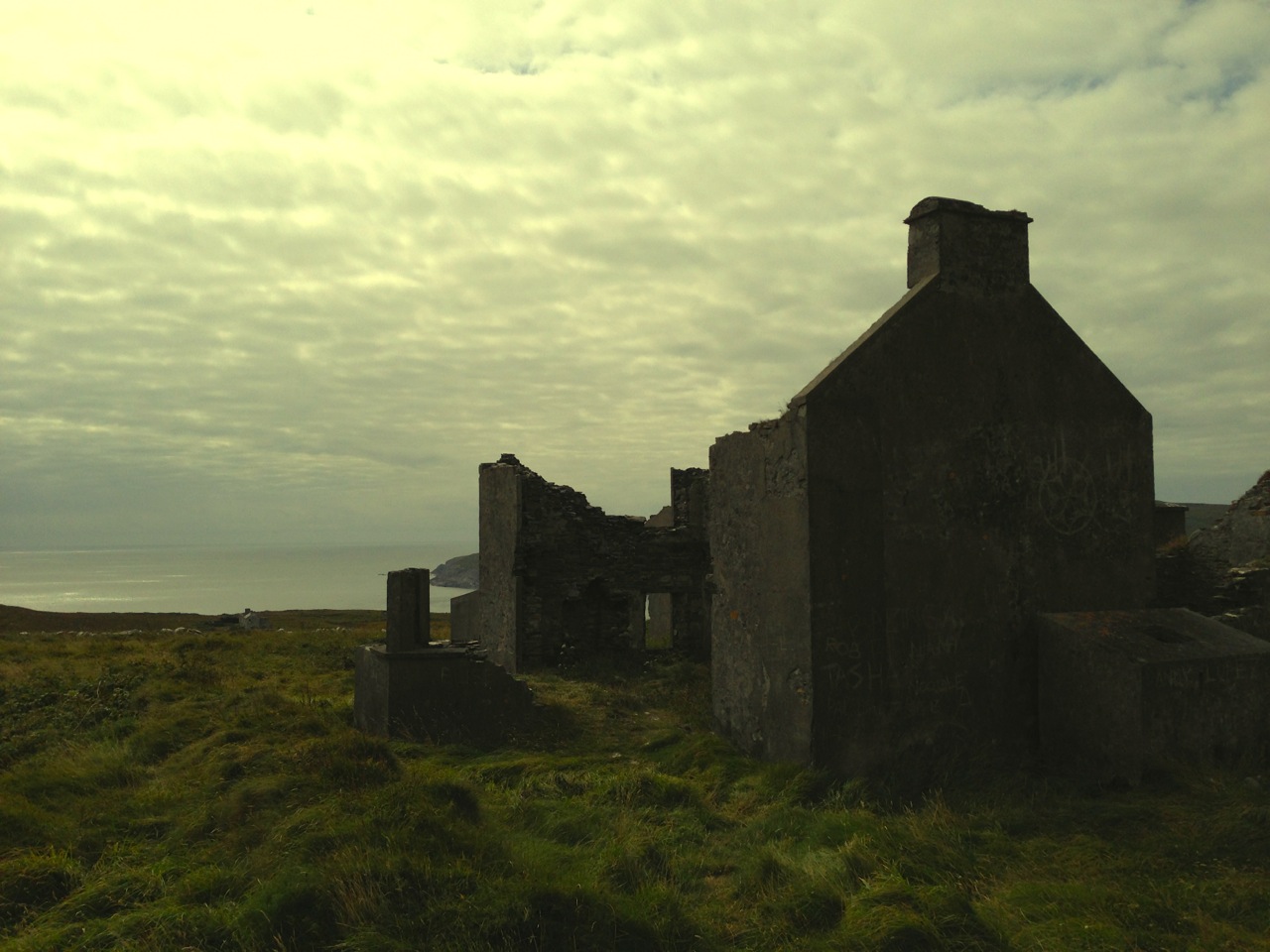
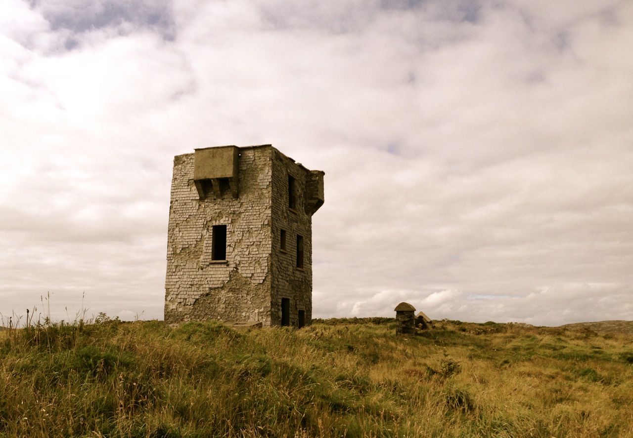
The origins of Samhain (Oiche Shamhna in Irish) seem to be an old Irish festival marking the first day of winter and the ending of the farming year. All crops had to be in and safely stored – hay, potatoes, turnips, apples – and cattle and sheep were moved from mountain and moorland pastures and brought closer to the farmstead; milking cows were brought inside for the winter and feeding with stored fodder began. Turf and wood for the winter fires must have been gathered and dried. If fires were lit year-round – for cooking – they had to be allowed to go out for the one night and were then lighted again in the morning: this custom still survives in some Irish households.

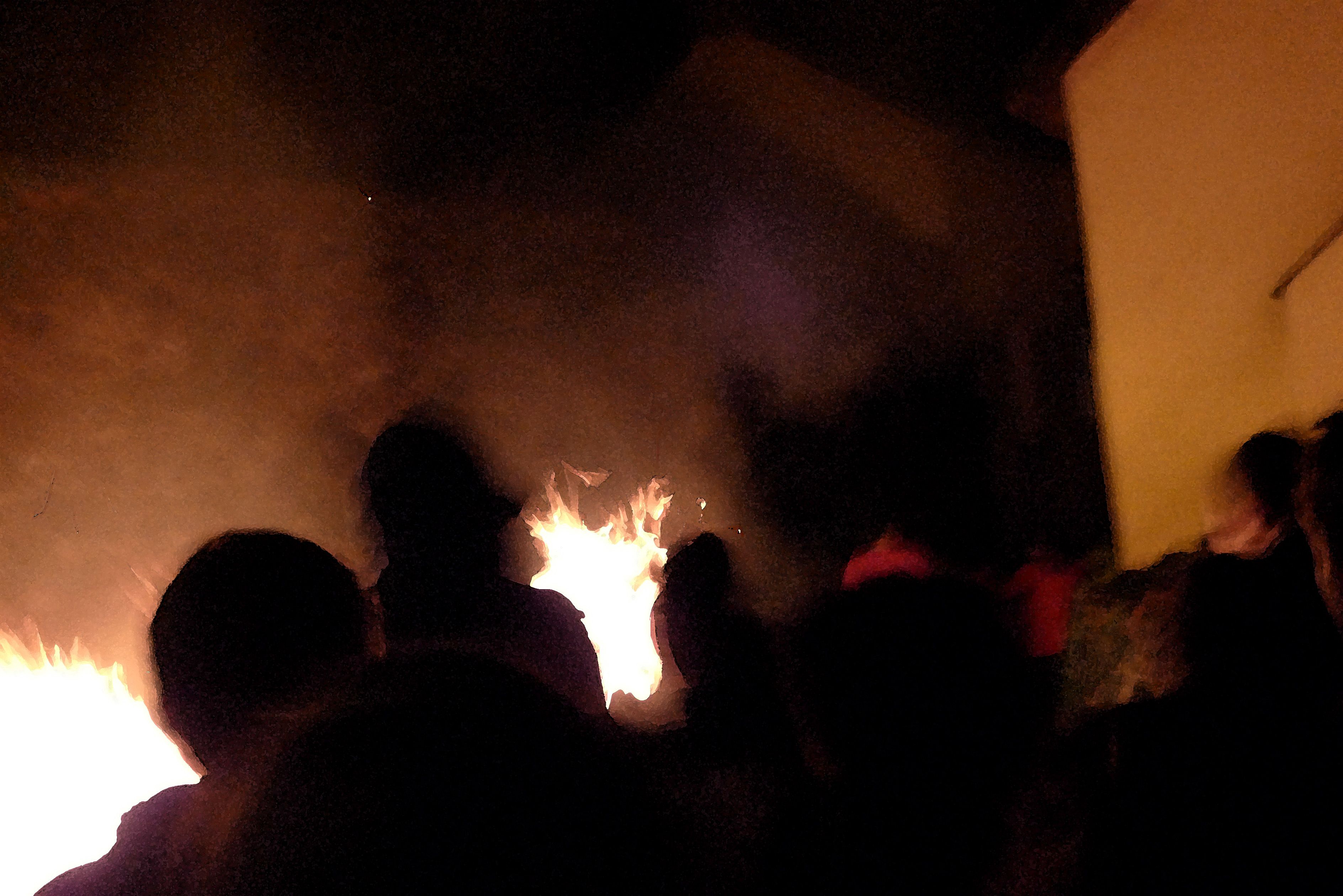
Fire is an essential element in the festival. The word ‘bonfire’ is supposed to be derived from ‘bone fire’ – the burning of the bones of the animals slaughtered before the onset of winter once the meat had been prepared and preserved to keep the larder full through the cold bleak months to come. It’s no coincidence that in England bonfires are lit in early November to ‘remember’ Guy Fawkes and his plot to blow up the House of Lords in 1605: this was just a continuation of fire festivals that already happened then – and are still happening now. When I lived in Devon I came across (and took part in) traditions of pulling burning barrels through the streets (Hatherleigh) or carrying burning barrels through crowds of spectators (Ottery St Mary). West Country carnivals were common at this time of the year, and many were accompanied by flaming torches and fireworks. It has always seemed necessary to ‘lighten’ and warm the darkening year with fire.

Tar Barrels in Hatherleigh, Devon, 2012

Tar Barrels in Hatherleigh, Devon, 2012

November, from Northside of the Mizen by Patrick McCarthy and Richard Hawkes 1999:

‘…The Month opened with Snap-Apple Night and tales of púcas and little folk. From the rising of the moon on November Dark the mackerel would make their way to deeper water; it was the end of the seine season. With the crops all in and hill grazing finished, fires were set on the hills and preparations made for the winter. There was little employment for the months ahead…’

Snap-Apple Night by Irish painter Daniel Maclise, 1833

Snap-Apple Night by Irish painter Daniel Maclise, 1833

Continuing tradition - a modern Snap-Apple, by Coca Cola

Continuing tradition – a modern Snap-Apple, by Coca Cola

‘…The first game of the night was always ‘Snap-apple’ when an apple was hung from a beam in the kitchen and all the children took turns to ‘snap’ the apple. Sometimes the apples were put in a half barrel of water and you had to take one out with just your teeth, with your hands behind your back…’

Two Hallowe’en tales from Northside of the Mizen:

…One fine Halloween, Neddy Hodnett (Gurthdove) was crossing the land on the way back from scoriachting (visiting friends and neighbours), when he came across a Narry the Bog (a heron) at Hodnett’s Sleabh. He caught it and put it under his coat. Neddy knew that Dan Thade Coughlan was out scoriachting and he also knew what route across the fields Dan would take, so he hid in a beillic. It wasn’t long before Dan came from the east, and as he passed the beillic, Neddy knocked a screech out of the Narry. Dan leapt out of his skin with fright and with a roar he leapt over the ditch and away out of sight. Dan didn’t take long to arrive home and he told everyone he had met the devil himself, coming agin him! Dan did not leave the house, day or night, for a week…

The Púca of Knocnaphuca  …The old people would feed the Púca of Knocnaphuca on ‘Snap-apple Night’, or indeed, whenever one had a call to travel up the hill. It was the wise person that fed the Púca the night before going up. Milk and cake would be put on a plate and left outside the house and by the next morning the food had always gone!

The Púca of Knocnaphuca was half horse and half human. One late Snap-apple night there was a young lad out walking the road when he heard a strange, sweet music coming from the hill. He went up and saw the Púca playing on a whistle. As soon as the lad had put eyes on it, it stopped playing and caught him. Away the Púca went to the top of the hill, where a crack opened up in the rock. In they went. They went twisting and turning down through tunnels until the entered a chamber full of gold. “Now,” said the Púca, “you are mine!”…

The next morning the boy was found on the road by the Long Bog. His hair had turned white and he could not speak a word ever after…

I like Finola’s tradition for Samhain: making (and tasting) a Hallowe’en barm brack… Delicious!

barm brack

Were You at the Rock?

Mass rock along the Beara Way (see the look out above)

Mass rock along the Beara Way (see the lookout above)

An raibh tú ag an gCarraig? / Were You at the Rock?

nó a’ bhfaca tú féin mó grá / Or did you yourself see my love,

nó a’ bhfaca tú gile, / Or did you see a brightness,

finne agus scéimh na mná? / The fairness and the beauty of the woman?

This beautiful song speaks to a revered tradition in Irish history and folk custom – the mass rock. During the period of the Penal Laws (late 17th and first half of 18th Century) when the practice of Catholicism was outlawed, parishioners would gather at a secret location to attend mass. The priest travelled from community to community in disguise, a lookout was posted, and mass was celebrated on a lonely rock far from the reach of the law. The song encodes the message that the people still find ways to attend mass, despite the harsh prohibition against it.

Mass rocks are often in remote locations

Mass rocks are often in remote locations

Dr. Hilary Bishop, in her excellent website Find a Mass Rock says, “As locations of a distinctively Catholic faith, Mass Rocks are important religious and historical monuments that provide a tangible and experiential link to Irish heritage and tradition.” She also points out that, because of the imperative for secrecy, mass rocks are difficult to find. We certainly experienced this when we set out for a day of mass rock hunting recently. Working from a list generated from the National Monuments Service database we spent a day on the Sheep’s Head and the Mizen and had trouble finding all the rocks on the list. One, if it was still there, had disappeared under impenetrable layers of gorse. A second rock was last recorded in the 1980s: residents were no longer familiar with it.

Beach Holy Well and mass rock

Beach holy well and mass rock

Knowledge of mass rocks has passed down from generation to generation. In the deep countryside, the sites maintain a mystique and a sense of the sacred. Last year we wrote about the mass rock and holy well at Beach, where Mary conjured up a blanket of fog to confuse the English soldiers and allow the priest to escape. At Beach and at our first stop, the mass rock at Glanalin on the Sheep’s Head Way, mass is still celebrated occasionally.

The Glanalin rock, and the one we visited on the Beara Peninsula, are good examples of the remote locations typical of many mass rocks, high on a hillside or hidden in an isolated valley. You can picture the procession of worshippers, in ones and twos, slipping silently through the bracken, pausing to make sure they are not being watched, climbing higher, following an overgrown trail, arriving at the meeting place where the hushed crowd awaits the arrival of the priest.

Beara mass rock

Beara mass rock

One of the rocks we found looked for all the world like a fallen standing stone – and that’s probably what it was. (I wonder if I should go to confession, though – I’m sure that sitting on a mass rock would qualify as at least a venial sin.)

Fallen standing stone?  Mass rock? Both?

Fallen standing stone? Mass rock? Both?

A mass rock that is easily visited is the one at Cononagh Village, right at the side of the main road into West Cork, the N71. This site is beautifully maintained – Cononagh is obviously proud of its heritage: signage and flowers invite the passerby to take a closer look.

Another easily accessible site is Altar, at Toormore. This is a wedge tomb, probably over 4,000 years old and excavated in 1989. It remained in use through the Bronze Age and into the Iron Age. Dr. William O’Brien, in his book on the archaeology of County Cork, Iverni, says of this site: “…over time this tomb came to be regarded as a sacred place, housing important ancestral remains in what was a type of community shrine.” How fitting, then, that the flat capstone of the Altar wedge tomb became, in the Penal Days, a mass rock. And how intriguing to think of the continuation of this sacred space over the course of thousands of years.

Altar Wedge Tomb, later used as a mass rock

Altar Wedge Tomb, later used as a mass rock

Sail Away, Sail Away

Merlin heads for The Mizen

Merlin heads for The Mizen

Many years ago I did a lot of sailing in Vancouver but for various reasons I haven’t been sailing for years. This week I was thrilled to have the opportunity to take to the water again!

I went with Chris Forker of Carbery Sailing out of Ahakista. Chris has a beautiful yacht, Merlin, a 42 footer with room for eight. There were five of us – Chris, his wife Aideen, a young couple Conor and Ellie, and I. Robert decided that the better part of valour that day was dry land, but he took photos of us as we left and arrived and even drove up the Sheep’s Head mountains to capture us in full sail.

Ferrying out to Merlin

Ferrying out to Merlin

It was a fabulous day (but then, it always is, around here) and we got underway quickly after Chris had given us a tour of the boat and showed us on the charts where we would be going. He was an amazingly relaxed captain: once the safety instructions were over he invited us to do as much or as little hands-on as we liked.

Merlin on Dunmanus Bay

Merlin on Dunmanus Bay

We sailed almost to the mouth of Dunmanus Bay and back to Ahakista. There was a brisk little breeze, so the conditions were excellent and as soon as the main and the foresail were up the boat settled into a close haul, heeled over, and bowled along at a merry pace. Chris pointed out all the points of interest, introduced us to Henry the friendly seal and recounted the history of the bay. 

Great day for a sail!

Great day for a sail!

Chris is a born teacher (he does RYA training courses aboard Merlin) but in the most unobtrusive way, so I felt comfortable asking all the basic questions – stuff I had learned but forgotten. There’s so much vocabulary to sailing! Within an hour I felt emboldened enough to offer to take the helm – and there I was sailing a 42 foot yacht, calling the change of tack, adjusting the course to catch the wind. It was, in a word, heaven. The Sheep’s Head to the north, the Mizen Peninsula to the south,  incredible scenery, sunshine and a Caribbean blue sea skimming past our bow – what more can life hold on a warm September afternoon?

At the helm!

At the helm!

And just when I though it couldn’t possibly get any better, Aideen appeared with a cup of tea and a plate of Ummera smoked salmon on thinly sliced brown soda bread.

Robert and I have explored the Sheep’s Head and the Mizen extensively, but seeing it from this angle brings a new perspective. We were unaware, for example, that there are sea arches along the Mizen coast – dramatic bridges reaching out over the ocean, with the sea thundering underneath. There are several islands in the Bay. We sailed between Carbery and Furze Island. Rumour has it that the house on Carbery is owned by a wealthy Sultan who visits with his wives occasionally. Gannets plummeted into the water around us and, although we didn’t see any that day, dolphins often swim and play around the boat.

Conor, who had never sailed in his life, took the helm as we headed home, while Chris and Aideen dropped and stowed the sails.

Connor takes charge

Conor takes charge

As a re-introduction to sailing I couldn’t have had a more perfect experience. But even just lounging around the deck, soaking up the sunshine and the scenery, feeling the wind on my face and the gentle swell beneath, chatting in that companionable way that seems to happen like magic with shipmates – well, it all added up to a marvellous and memorable day that will ensure that I get out on the water again soon.

End of a perfect day

End of a perfect day

Mizen Magic 3: Brow Head

On Brow Head, looking back up the Mizen Peninsula

On Brow Head, looking back up the Mizen Peninsula

Contrary to popular belief, Mizen Head is not the most southerly point on the Irish mainland – that distinction actually belongs to Brow Head, just to the east. Brow Head doesn’t have the same profile as Mizen Head: many people have never heard of it. But it’s magnificent, steeped in history, wonderfully scenic and best of all, totally walkable.

Possible prehistoric field boundary, visible at low tide

Possible prehistoric standing stone and field boundary, visible at low tide

You arrive at Brow Head by driving west from Schull out towards Crookhaven. If the water is low in the Haven you may spy the remains of ancient field boundaries, covered at high tide.

Galley Cove

Galley Cove

The starting point is Galley Cove – a smaller and quieter beach than the popular Barley Cove a little further west, but featuring the same white sand and inviting Caribbean-blue water. You can leave the car here and proceed on foot uphill if you’re feeling in the need of an aerobic workout. Or you can drive up the narrow road, but be warned: if you meet a car coming down you may have to reverse a considerable distance. There is parking for three or four cars at the top of the hill.

Recently-erected standing stones

Recently-erected standing stones

The first thing you’ll notice, in front of the lone house at the top of the hill, is an impressive row of standing stones, aligned to point back down the Mizen Peninsula. These are recent additions to the landscape, testament to the enduring tradition of erecting such stones in this part of the world.

Scramble up through the heather to the remains of the Napoleonic-era signal tower and the Marconi Telegraph Station – see Robert’s post for more about Marconi and early wireless telegraph in West Cork. From here there are panoramic views east to Crookhaven and down the Mizen Peninsula, west to Mizen Head, North to Barley Cove and southeast to the Fastnet Rock.

Follow the path now south west to the tip of the Head. This was a copper mining area in the nineteenth Century and you can still see the ruins of the Mine Captain’s house, miners’ dwellings and fenced off mine shafts. Abandoned cottages litter the north-facing slopes, with small overgrown fields defined by stone walls.

Near the tip of the Head you must cross a narrow causeway with steep cliffs on either side. This part is not for the faint of heart (or small children, perhaps) especially on a windy day. Find a sheltered spot at the end and sit a while. You may see gannets diving here, or dolphins in the waters below, and you will certainly be aware of the power of the pounding waves.

Next parish - America!

Next parish – America!

Before you leave, make sure that you make a wish – after all, this is a special place, and special places in Ireland have their own magic. 

Heron tracks

In the Haven

In Search of Ghosts

ruin

Lonely and wild – Brow Head is the most southerly point on the mainland of Ireland. There are ghosts here: ghosts of ancient people who created the stone monuments, perhaps 5000 years ago, that are now inundated by every tide in the bay at Ballynaule below this Irish ‘Lands End’; ghosts of early farmers who began to lay out field boundaries criss-crossing this windswept promontory; ghosts of the defenders of an empire who feared a French invasion that never happened; ghosts of the prospectors who sunk two shafts – now barely protected by rusting wire – during the nineteenth century copper mining era; and, lastly, ghosts of the pioneers of our own digital age, represented in the brooding ruins that crown the hilltop here above West Cork’s remotest village, Crookhaven.

Brow Head - haunt of ghosts

Brow Head – haunt of ghosts

Charles Motte

Napoleon setting his sights on the British Empire 1804 (Charles Motte)

Facing up to Napoleon: Brow Head Signal Tower, built in 1804

Facing up to Napoleon: Brow Head Signal Tower, built in 1804 in anticipation of a French invasion

We can be very specific about one ghost: Guglielmo Marconi – born at Bologna, Italy, on April 25, 1874 to Giuseppe Marconi, an Italian country gentleman, and Annie Jameson, daughter of Andrew Jameson of Daphne Castle, Enniscorthy, County Wexford, Ireland. The Jamesons were and are renowned distillers of Irish Whiskey. It’s reasonable to say that Marconi was an ‘Irish Italian’, and that heritage was reinforced when in 1905 he married Beatrice O’Brien, daughter of the 14th Baron Inchiquin. Marconi’s fame is that he pioneered the commercial application of electromagnetic waves – or Radio.

Marconi - wishful thinking!

Marconi – wishful thinking!

At the age of twenty one, Marconi was able to demonstrate to his father how, without any visible physical link (without wires), he could transmit dots and dashes through the rooms of their home in Pontecchio. “…When I started my first experiments with Hertzian waves…” he is quoted as saying, “…I could scarcely believe it is possible that their application to useful purposes could have escaped the notice of eminent scientists…” His parents used their influence to help him travel to England to meet the Engineer-in-Chief of the British Post Office with the result that in 1896 Marconi obtained the first ever patent in wireless telegraphy.

Signal Station at Poldhu, Cornwall, 1914

Signal Station at Poldhu, Cornwall, 1914

Marconi’s ambitions started in a room in Italy: by December 1901 he was able to send messages from Poldhu, Cornwall, to St John’s, Newfoundland, a distance of 2100 miles – an historic achievement. In his attempts to bridge the Atlantic with Radio waves he had explored the west coasts of Britain and Ireland for suitable telegraphic locations. One of his destinations was Crookhaven, which he visited many times – using the Flying Snail en route!

The Marconi Wireless Telegraph Station at Brow Head - exactly 100 years ago

The Marconi Wireless Telegraph Station at Brow Head – exactly 100 years ago

Brow Head was one of a number of transmitting stations set up by Marconi and it got off to a flying start soon after opening in 1901 when, in the presence of Marconi himself, Morse signals were received from Poldhu, 225 miles away. The fact that the Atlantic gap was conquered only a few months after this shows the rapid pace of developments at that time.

Calling America...

Calling America…

The village of Crookhaven had long been the first and last port of call for ships going between Northern European ports and America. Over the centuries ships stocked up here with provisions before tackling the open sea. Because of this, the major shipping lines had agents here. Reuters and Lloyds had flag-signalling and semaphore equipment on Brow Head to communicate with the maritime traffic, superseded by the telegraph station. At the end of the 19th Century it was said that “…you could cross the harbour on the decks of boats…” Up to 700 people are reputed to have lived in the area at that time: now, Crookhaven has a permanent population of no more than 40. An article written by one of the telegraph operators in 1911 summarises:

…As Crookhaven is the first station with which the homeward bound American liners communicate it is naturally a busy station. By the aid of wireless all arrangements are made for the arrival of the ships, the landing and entraining of the passengers and mails, whilst hundreds of private messages to and from passengers are dealt with. Messages are also received from the Fastnet Lighthouse, which is fitted with wireless, reporting the passing of sailing ships and steamers. These messages are sent by vessels not fitted with wireless by means of signals to the Fastnet, thence by wireless to Crookhaven, whence they are forwarded to Lloyds and to the owners of the vessels…

Engraving by Mary Francis Cusack, 1875

Engraving by Mary Francis Cusack, 1875

We have some first hand accounts of the workings of the signal station in its heyday from the handwritten log books of Arthur Nottage – for many years landlord of the Welcome Inn at Crookhaven – who died aged 90 in 1974. In 1904 he arrived in West Cork (from England) to work on a shift basis with one other man as Marconi telegrapher at Brow Head. Until 1914 he operated the Morse code apparatus with a salary – generous for the time – of £1 per week.

Arthur Nottage of Crookhaven

Arthur Nottage of Crookhaven

A hundred years ago telegraphy had advanced to such a stage that it was no longer necessary for stations to operate close to the shipping lanes, and small, isolated sites such as Brow Head were closed down. Legend has it that in 1922 the Irregulars destroyed the buildings during the Civil War.

Becoming Archaeology: the ruins on Brow Head today

Becoming archaeology: the ruins on Brow Head today

Finola and I have both been inspired by the landscape and atmosphere of this Atlantic frontier. It’s a place we will return to. All West Cork landscapes are impressive, but this is a place apart. If you want to feel at the end of the world, walk here: you won’t meet many others, even in the height of the visitor season. Perhaps that’s because it’s haunted – but in the best possible way. Like so much of Ireland the world has come here – a mark has been made – memories have been left behind. Now, you hear the ghosts in the ever-present currents of wind and surf.

Base of Marconi's mast at Brow Head

Base of Marconi’s mast at Brow Head

(I am grateful to Michael Sexton and the Mizen Journal (Number 3 1995) for many fascinating items on the Crookhaven Telegraph Station not recorded elsewhere.)

On the Butter Road

The old Butter Road runs between Schull and Ballydehob

The old Butter Road runs between Schull and Ballydehob

For most of its history, roads were a hit-and-miss affair in Ireland. We didn’t get the great Roman road builders, and anyway, it was easier to get around on the water. Some routeways led to Dublin or Tara in the early medieval period, but a real road system didn’t develop until the 18th Century with the building of turnpike highways between major cities. In the 18th Century, Cork became the largest centre for the butter trade in the world and needed transportation corridors to ensure butter could get from remote rural areas to the Butter Exchange (now a museum) in the city. The Butter Roads were built from the 1740s on, and provided an efficient and speedy (for the time) route to market. Butter was packed in firkins (40 litre barrels), stacked onto carts, and transported from West Cork and Kerry to Cork City to be loaded onto ships for Australia and America.

The Old Mill

The Old Mill

Here and there, traces of the old butter roads remain. One stretch runs between Ballydehob and Schull and in the last few years a project to open it as a walking route has been spearheaded by students of the Schull Community College. It starts at the Old Mill, now open as a gallery by our friend, the esteemed wildlife photographer, Sheena Jolley. Sheena has enhanced the mill stream and stabilised the workings, still intact in her basement. A visit to her gallery is a great way to start or end your walk.

Robert on the stepping stones

Robert on the stepping stones

Setting out from the mill we were immediately on the old green road, soft underfoot, running between hedgerows alive with wildflowers, winding gently uphill. A plaque tells the story of the butter roads and of the current project. Gurgling and murmuring, the mill stream is on your right until you come to cross it. This is accomplished on stepping stones where we found it impossible not to linger and contemplate the gentle water. 

The mill stream

The mill stream

Onward and upward, passing an abandoned farmhouse, and marvelling at the variety of flowers along the route. Having been presented with the superb Zoë Devlin’s The Wildflowers of Ireland (thank you, Amanda!) I can now identify most of them, so here is a selection – captioned, by dint of my new-found knowledge. (Mousing over the pictures will bring up the captions, clicking on them will take you to full size images.)

As the road ascends, we could look back towards Schull and Long Island, or north to Mount Gabriel. The sense of peace, of being in a place of age-old tradition, is palpable. 

Mount Gabriel

Mount Gabriel

Near the top of the hill we met the Newman family, setting out from their farmhouse to walk down to Schull. John and Helen grew up in this house, walking to school in Rossbrin (about 4 km away) every day and John still lives in the house. He has a fascinating collection of old tractors and an obvious interest in farm machinery of every kind. They told us they had the butter road all to themselves in the old days, but now it’s quite popular and they are glad to see it used and enjoyed. A Mr Henry Ford once lived in the farmhouse, related to THE Henry Ford, whose father came from Ballinascarthy, near Clonakilty. 

Three generations of the Newman Family

Three generations of the Newman Family

The Butter Road is an ancient right-of-way, but access depends on the goodwill of those, like John Newman, and like Paddy Hayes whom we met on the way down, whose farms and fields lie along the route. This is a marvellous resource for the people of Schull and Ballydehob and we are grateful to those whose vision and hard work and generosity of spirit have made it a reality. 

If you want to experience the tranquility of the deep countryside, lovely views, and a sense of how the making of a road could connect far-flung communities to the wider world, we recommend an afternoon spent on the Butter Road. 

Walking back down: Long Island comes into view

Walking back down: Long Island comes into view