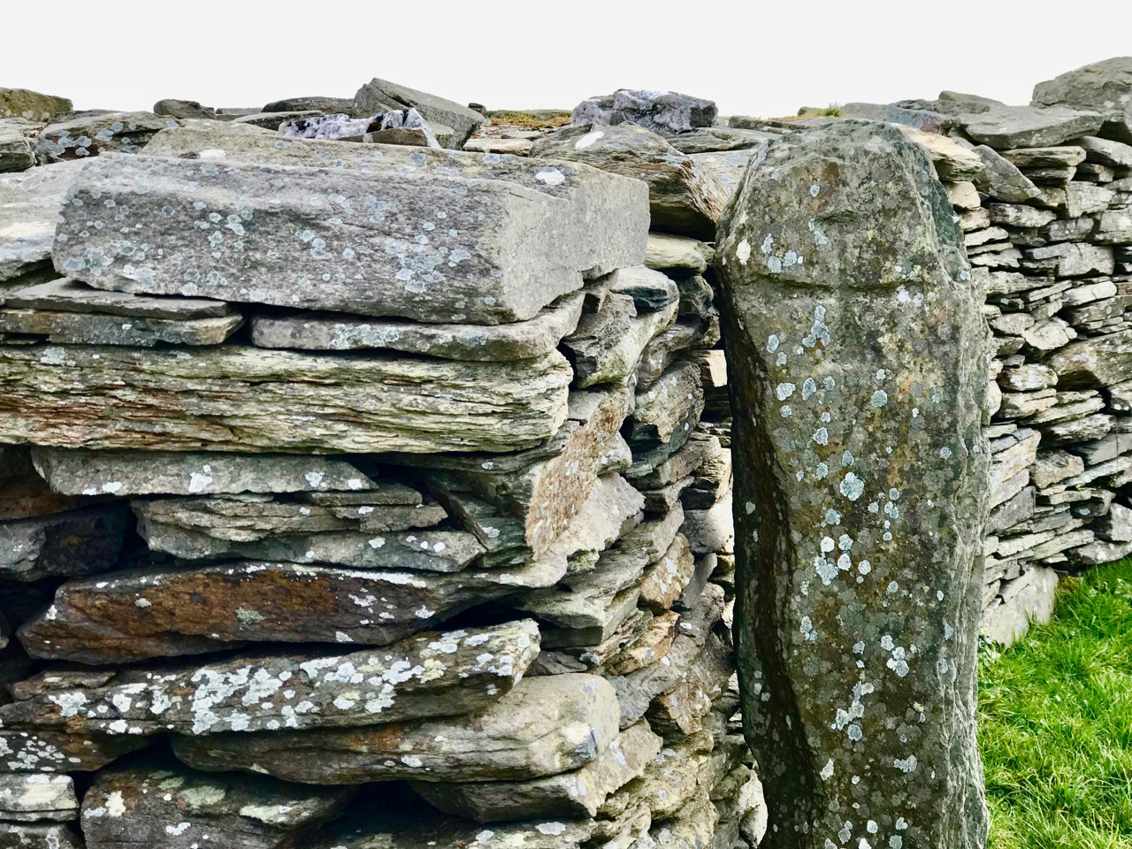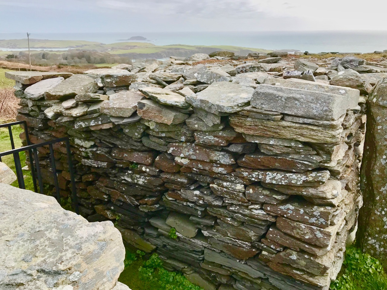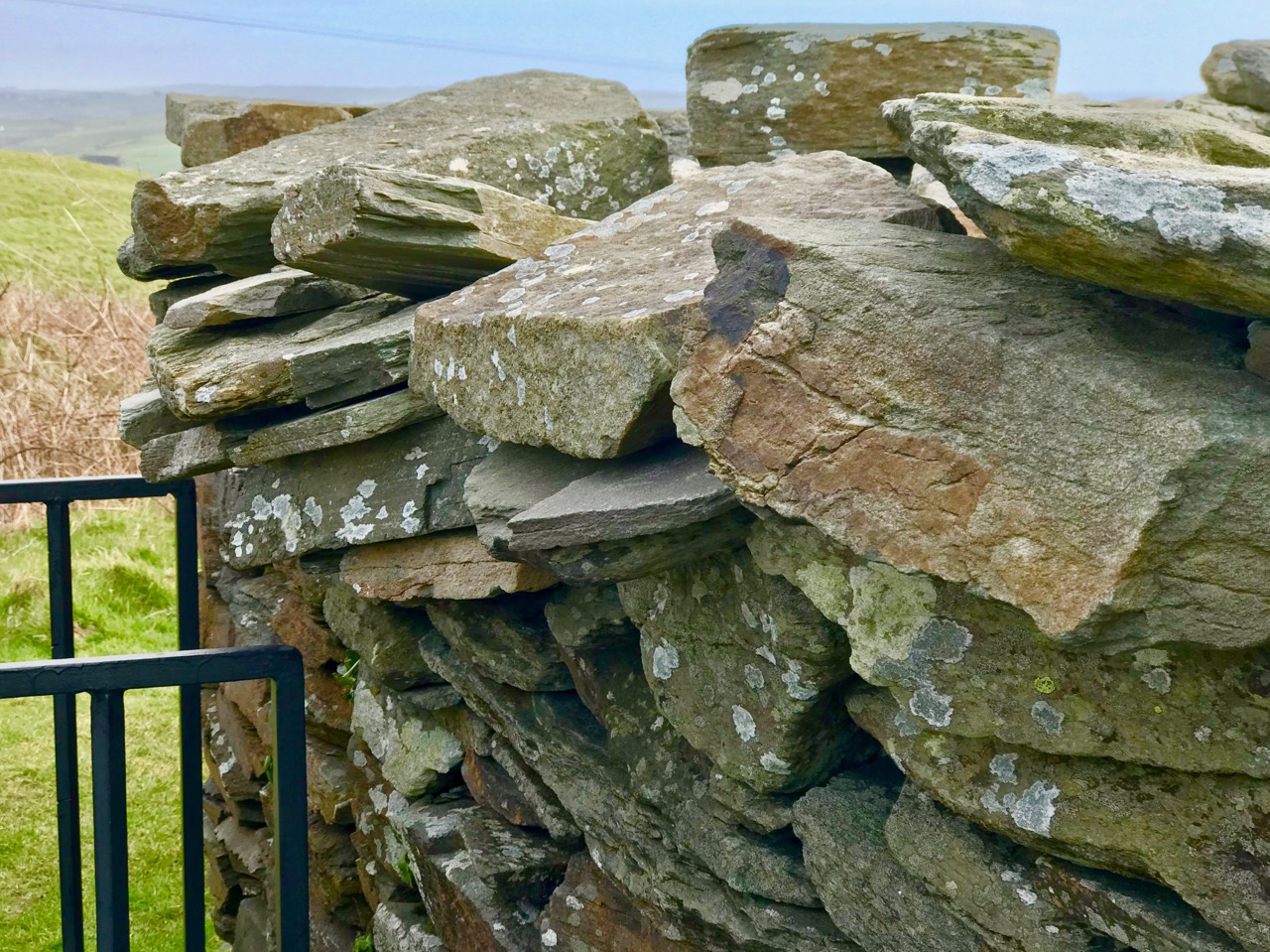
The Rocky Road to Nowhere

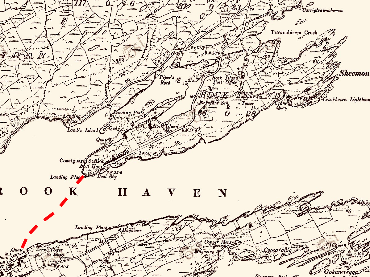
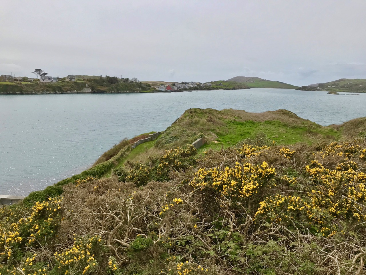
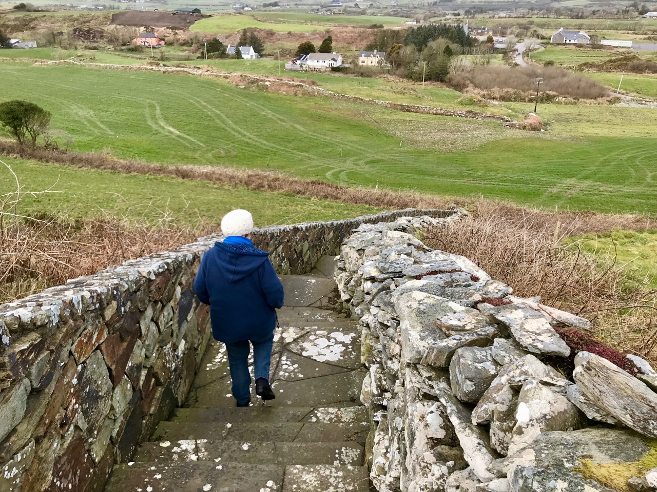
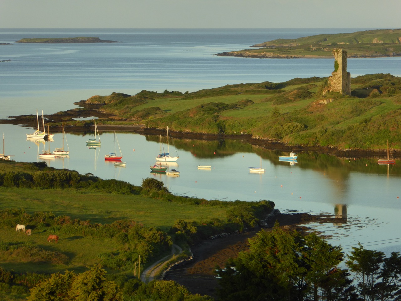
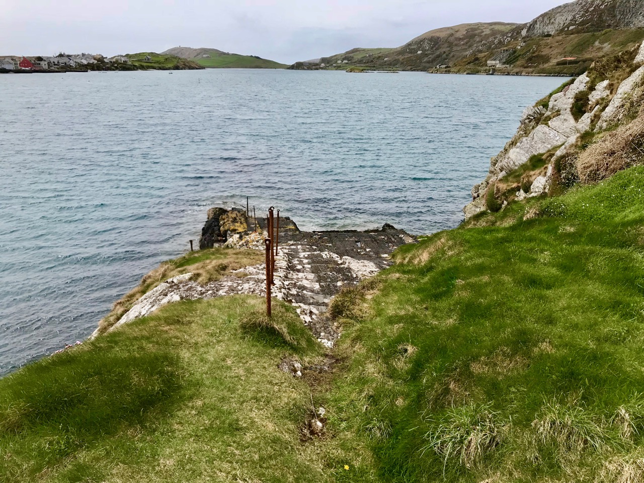
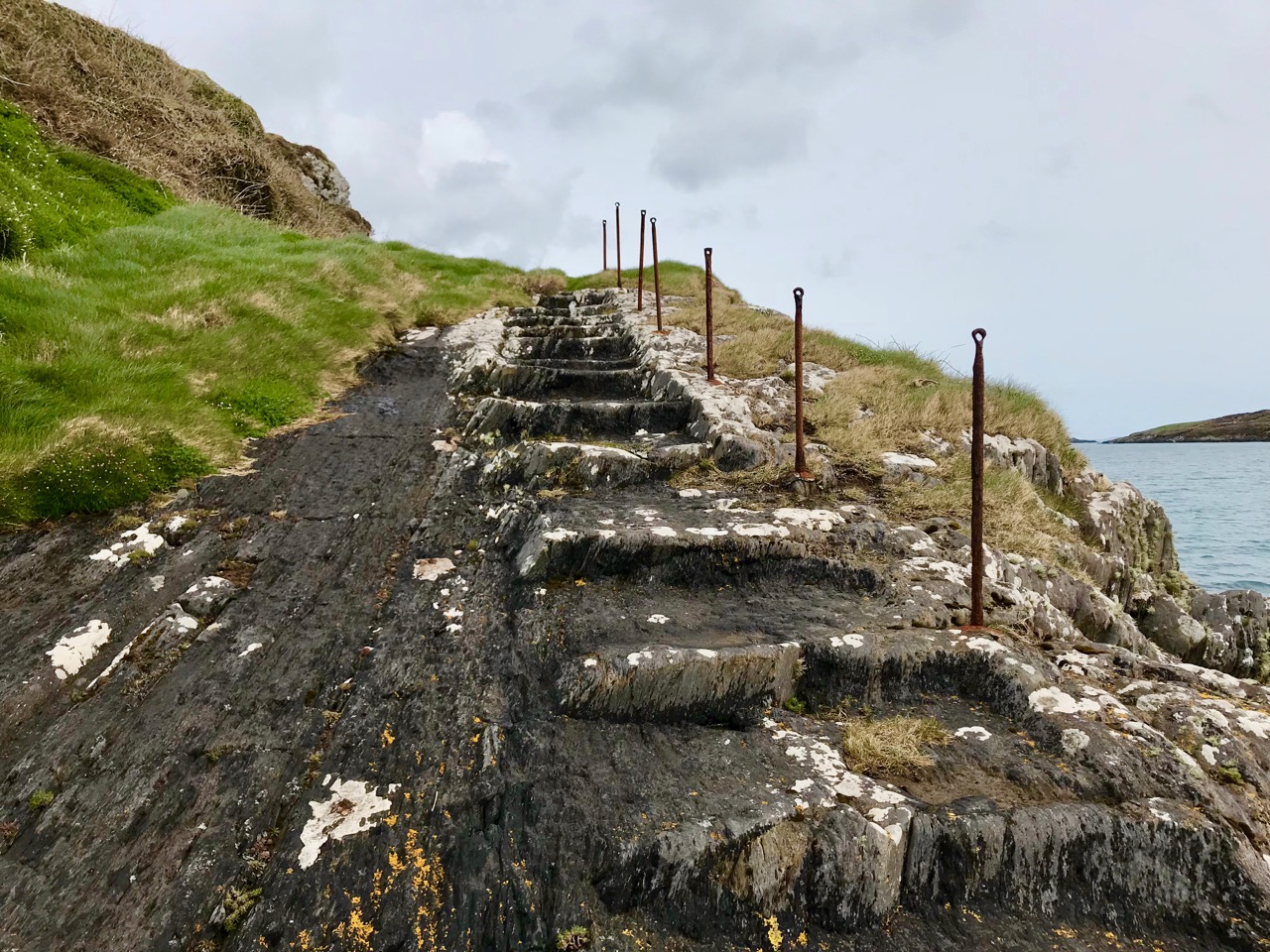
The road from Cork to Crookhaven – one of the most westerly communities in the whole of Europe – ran into the sea here at Rock Island. The picture above shows the remote settlement in the distance across an expanse of water, and the stone steps in the foreground are literally the end of the road that was laid out by Sir Richard John Griffith – Engineer of Public Works in Cork, Kerry and Limerick – between 1822 and 1830.
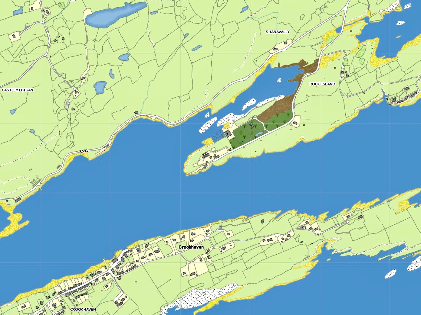
Upper – map showing Rock Island today: note the R591 road which now goes around the north side of Crookhaven Bay to reach the village. Lower – the Cassini map of c1848, showing Griffith’s Road – the direct route across Rock Island to the Landing Place at the western point: from there you went by water to Crookhaven Quay

Griffith’s brief as Engineer was to lay out many miles of new roads in some of the most inaccessible parts of the three counties. But even in his day travelling through the hinterland of Ireland was risky and uncomfortable: always far better to go by water along the coast – at least the passage was direct and relatively smooth in calm weather, while the byroads of the day were at best circuitous and muddy. Here’s an extract from a report by Griffith dated 1824:

. . . Richard Griffith, Road Engineer, Progress Report, Skibbereen to Crookhaven, Wheeled Carts now Appear, where heretofore Loads were carried on the Backs of Horses, New Entrance to Town Of Bandon, Road From Courtmacsherry to Timoleague, Road from Clonakilty to New Fishery Pier At Ring, New Road Skibbereen to Bantry, Macroom to Killarney, with a Note on The System of Labour Organisation Used . . .
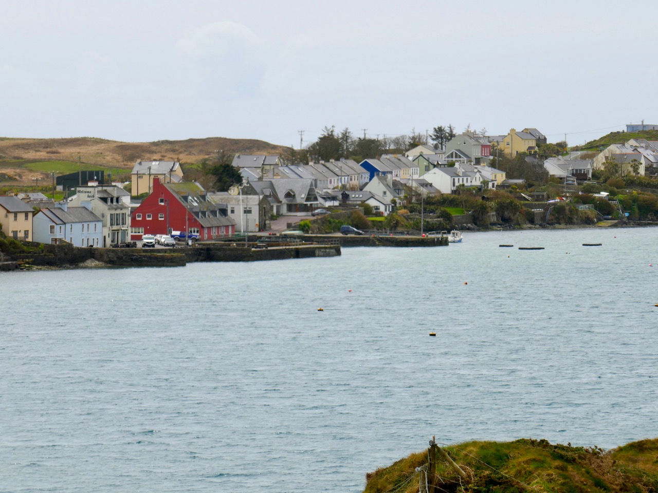
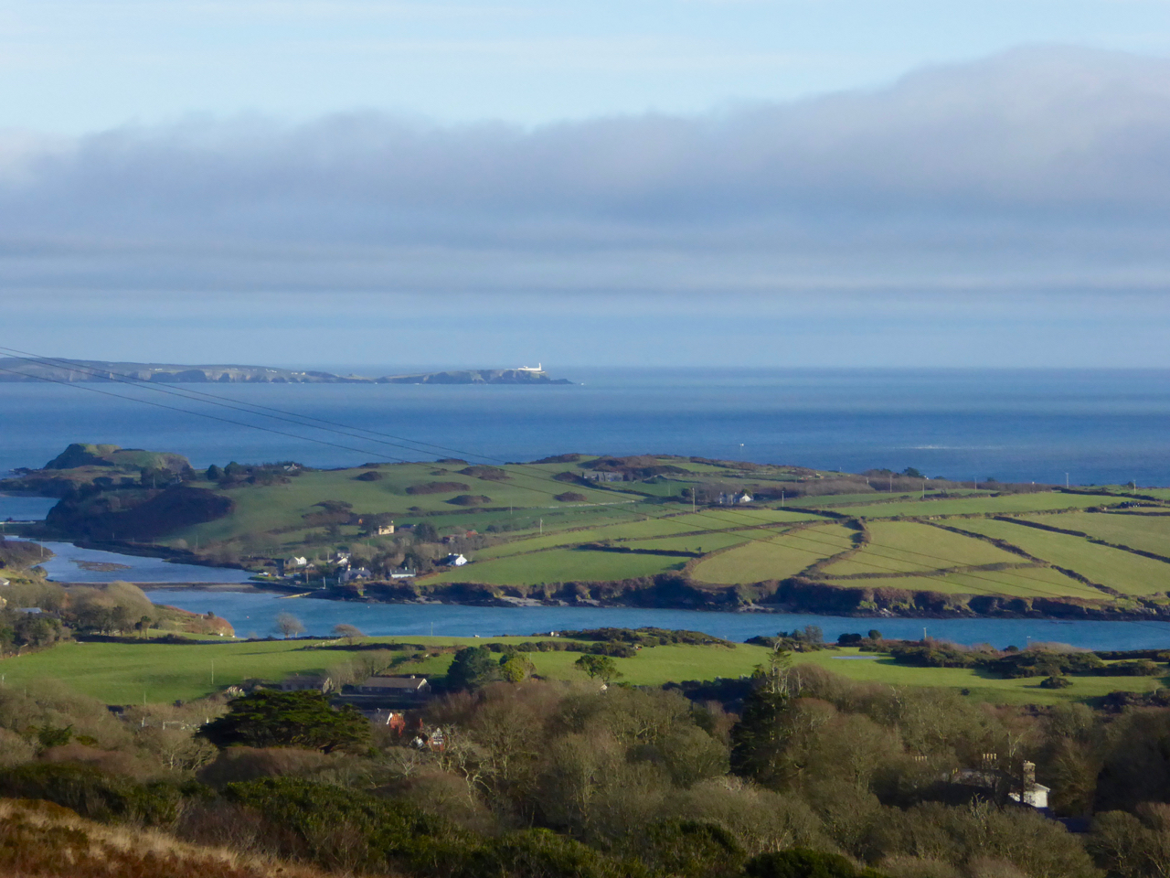
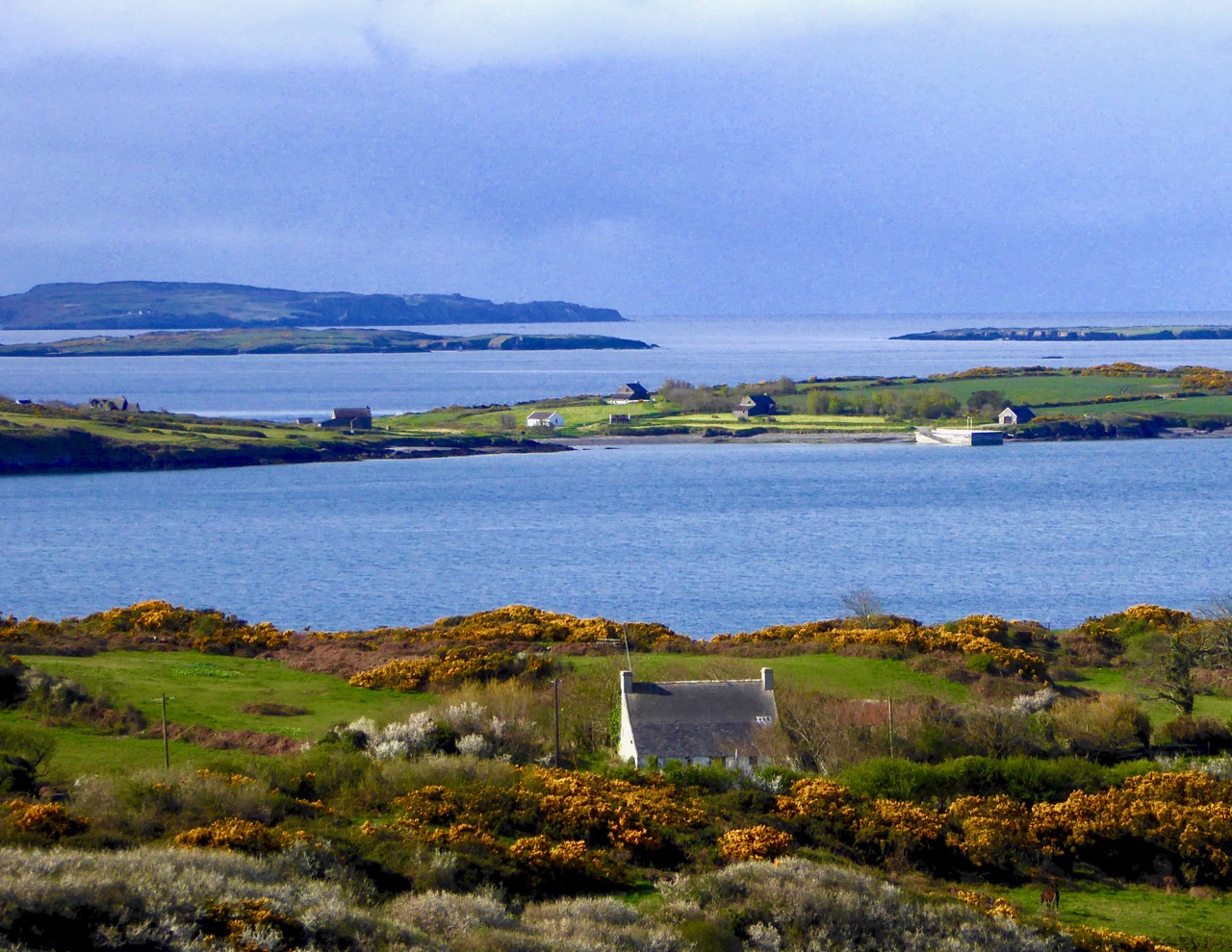
Connections by water: a telephoto view of Crookhaven, taken from above the ‘Landing Place’ at the west end of Rock Island

A few years ago, Finola wrote about the Butter Roads, an eighteenth century venture to serve the hub of Cork – and its international Butter Market – from the wilds of Ireland’s rural hinterland. Griffith and his contemporaries improved on this network during the nineteenth century: what we have today – especially here in West Cork – is an updating of Griffith’s system, with a few improved main roads connecting up with the web of winding boreens which then accessed the scattered townlands and farms – and still do.
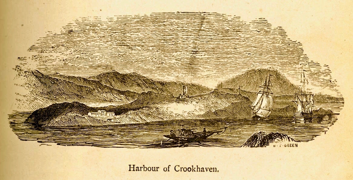
An engraving signed W T Green from A History of the City and County of Cork by Mary Cusack, Cork 1875

Born in Dublin in 1784, Richard Griffith exerted a great influence over the whole of Ireland during his lifetime. He was fascinated by the relatively new science of geology and studied in London and Edinburgh. I was particularly interested to see that he spent some time in Cornwall, studying mine engineering and mining techniques. Returning to Ireland in 1808, He was appointed Engineer to the Bog Commissioners and over the following four years wrote detailed accounts of the geology of various parts of the country, including Clare, Cork , Kerry, Leitrim, Mayo, Sligo and Wicklow. He became Professor of Geology and Mining at the Royal Dublin Society in 1812, and Inspector-General of His Majesty’s Royal Mines in Ireland at about the same time. The first edition of his Geological Map of Ireland was published in 1815.This was revised and republished a number of times over the following 40 years, and was the work he considered his major achievement.
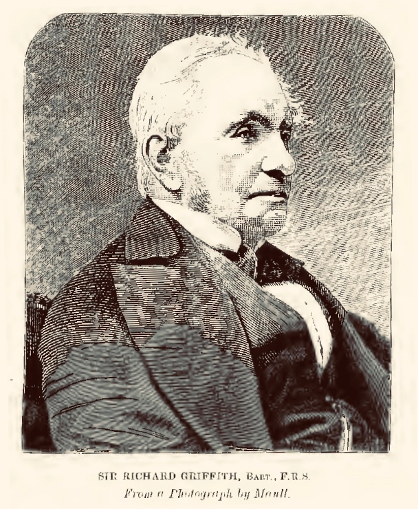
Sir Richard Griffith 1784 – 1878

You will see from Finola’s post today that we visited Rock Island during the week in the good company of Aidan Power who has written an account of the place. It’s wonderful to get a guided tour with an enthusiastic expert. It was Aidan who sparked my imagination when he pointed out that a mail boat was rowed over from Crookhaven every day to the Landing Place at Rock Island – and was the regular and reliable means of communication between that village and the rest of Cork.
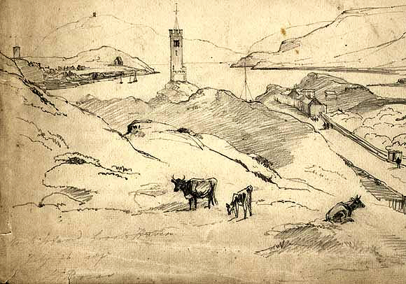
This drawing of Rock island by Brocas is dated 1837, and clearly shows, on the right hand side, Griffith’s Road leading down to the Landing Place, the principal connection with Crookhaven

There’s a lot more of Griffith’s story to be told: particularly his appointment as Boundary Commissioner in 1824, a post he held for 41 years. This resulted in the full recording of all townland boundaries and designations – although these were often anglicised at the time, resulting in the loss of many local traditional names. He died in 1878 at the age of 94. On his grave in Mount Jerome Cemetery is the epitaph . . . Not slothful in business, fervent in spirit, Serving the Lord . . .
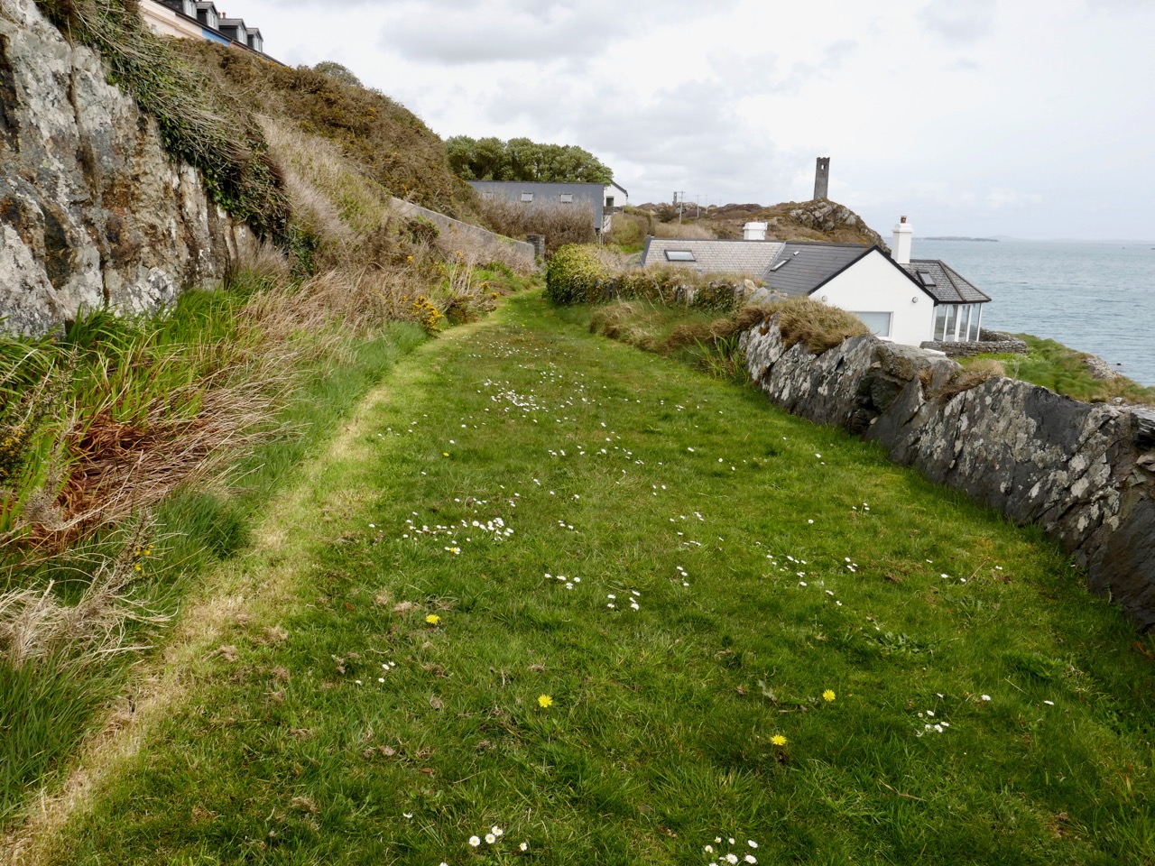
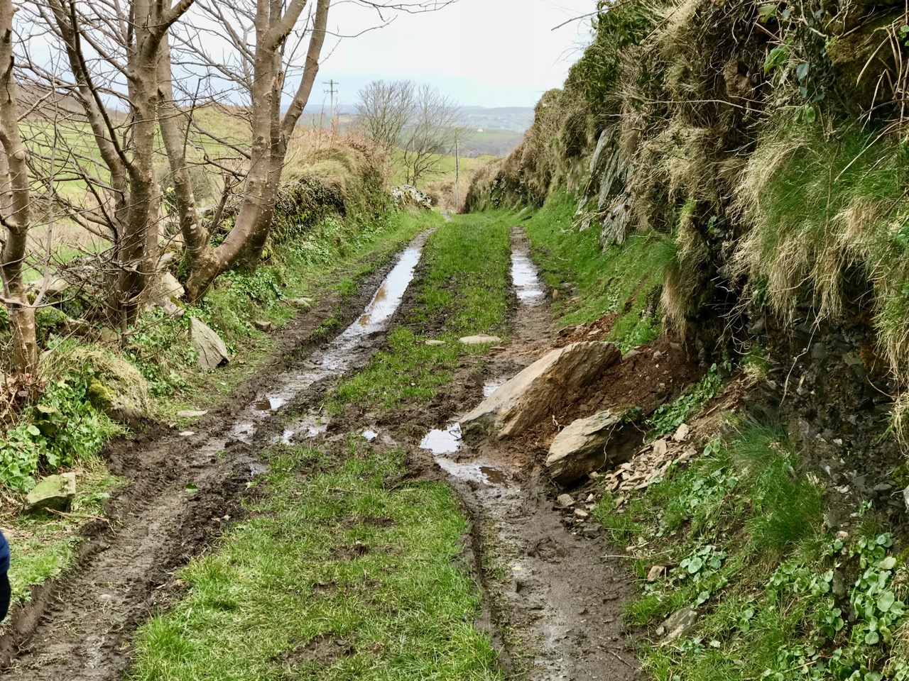
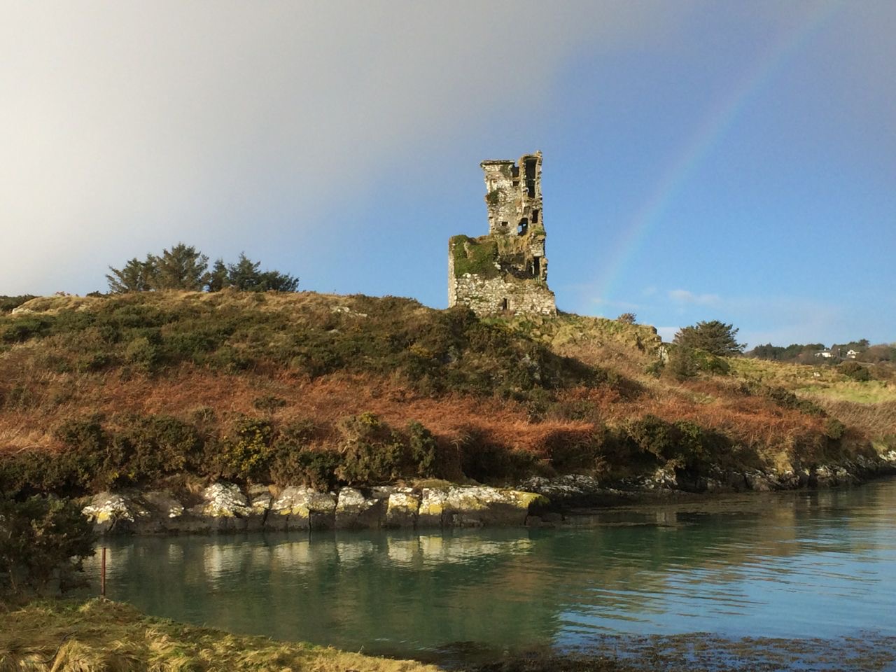
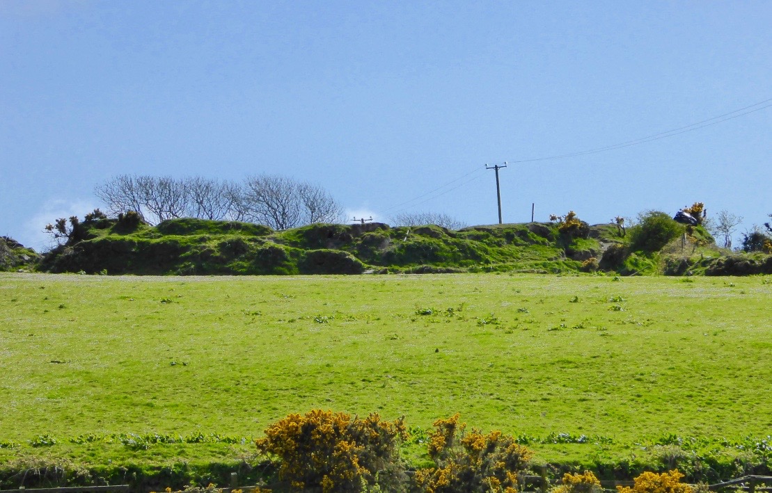
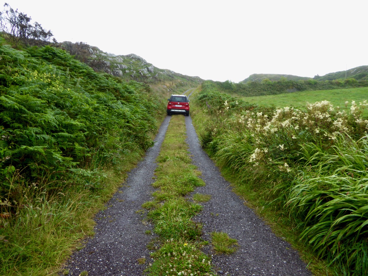
Griffith’s Road on Rocky Island is lost to a grassy track (upper picture and on the left in the lower picture) but is still traceable and remains theoretically a public highway! You can at least still follow it on foot to the point where it becomes a series of rocky steps that finish in the sea. You will have quite a wait for the Crookhaven mailboat today, however.
Sun’s Out!

On one April day after a bleak, harsh winter that had gales, hurricanes, blizzards and unceasing bitter east winds thrown at us – the sun came out! We were out too, and headed up to the Beara Peninsula to see if we could remember what sun-soaked landscapes felt like… They felt great!

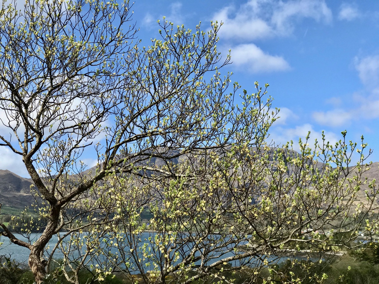
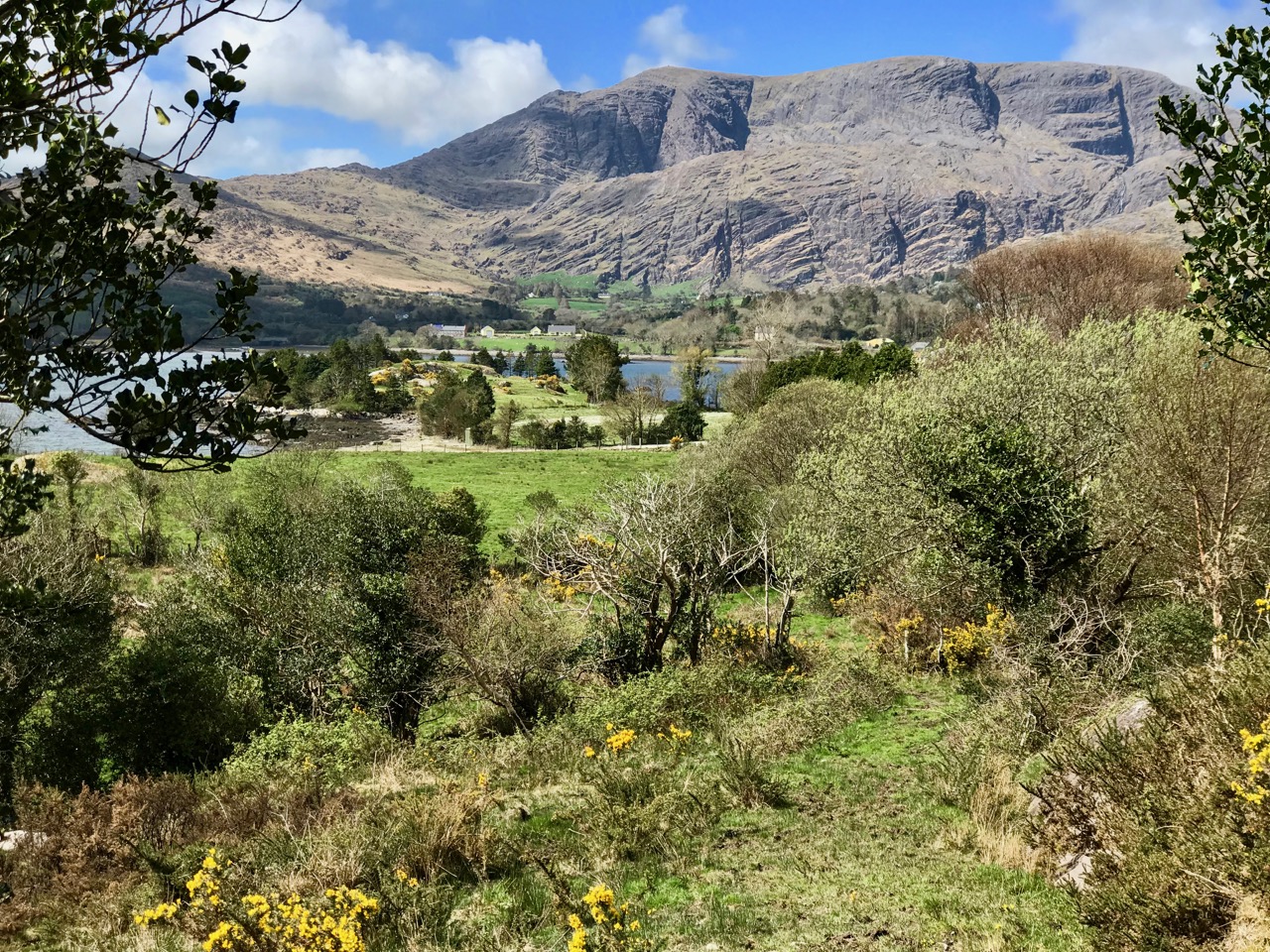
Header – the glories of Cork and Kerry combine on the spectacular Beara; top photograph – finally, after a long,harsh winter, we see the spring blossoms appearing; middle – a wayside shrine on the road out from Glengariff; bottom – Hungry Hill dominates the views as we head west on the peninsula

You will remember our previous visits to the Beara: there are not enough superlatives for what it has to offer in the way of stunning scenery and colour. None of these photographs have been enhanced – what you see is exactly what we saw on the day – and it’s what you will see, too, if you choose aright (although even on dull days we always find plenty to interest us).

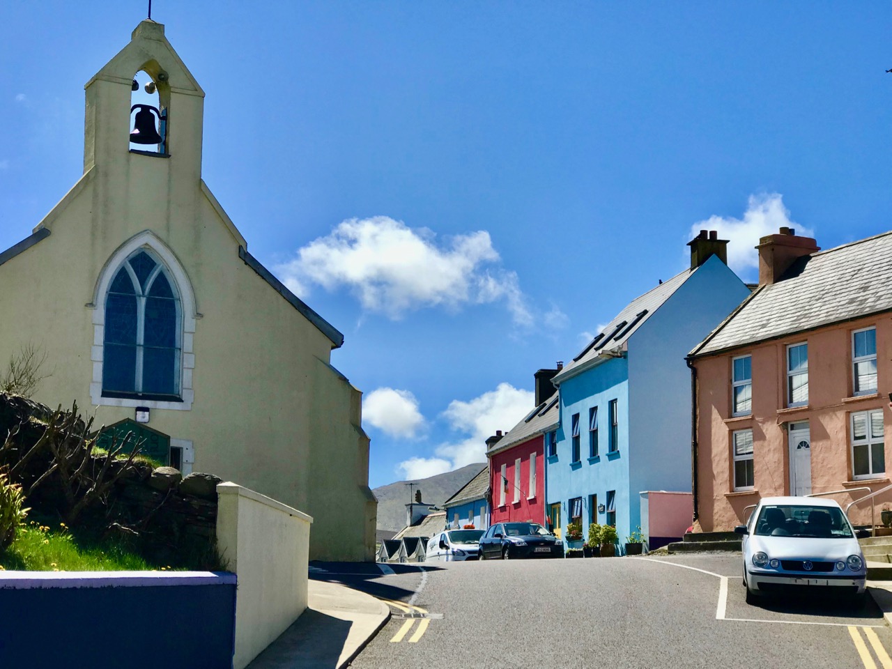
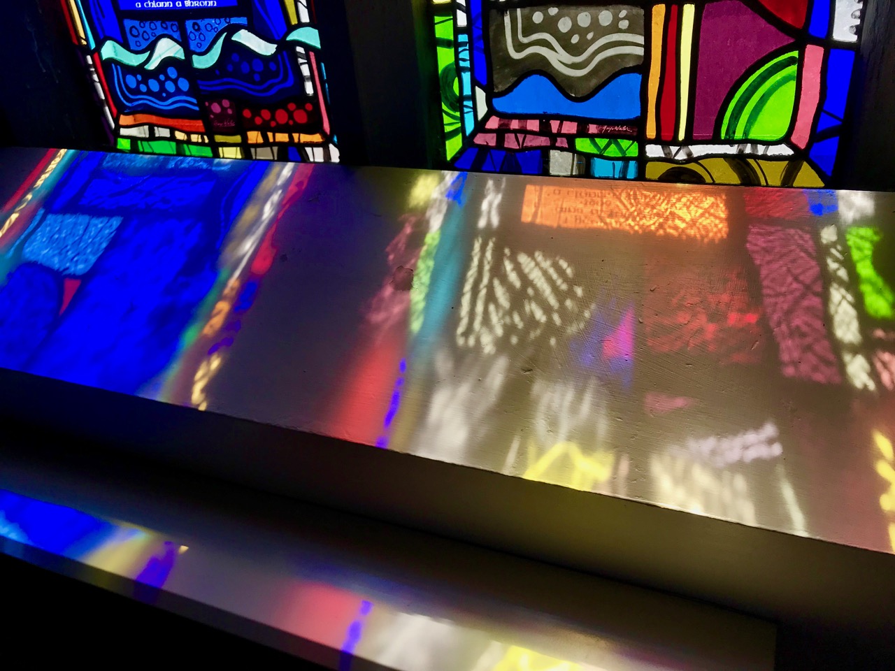
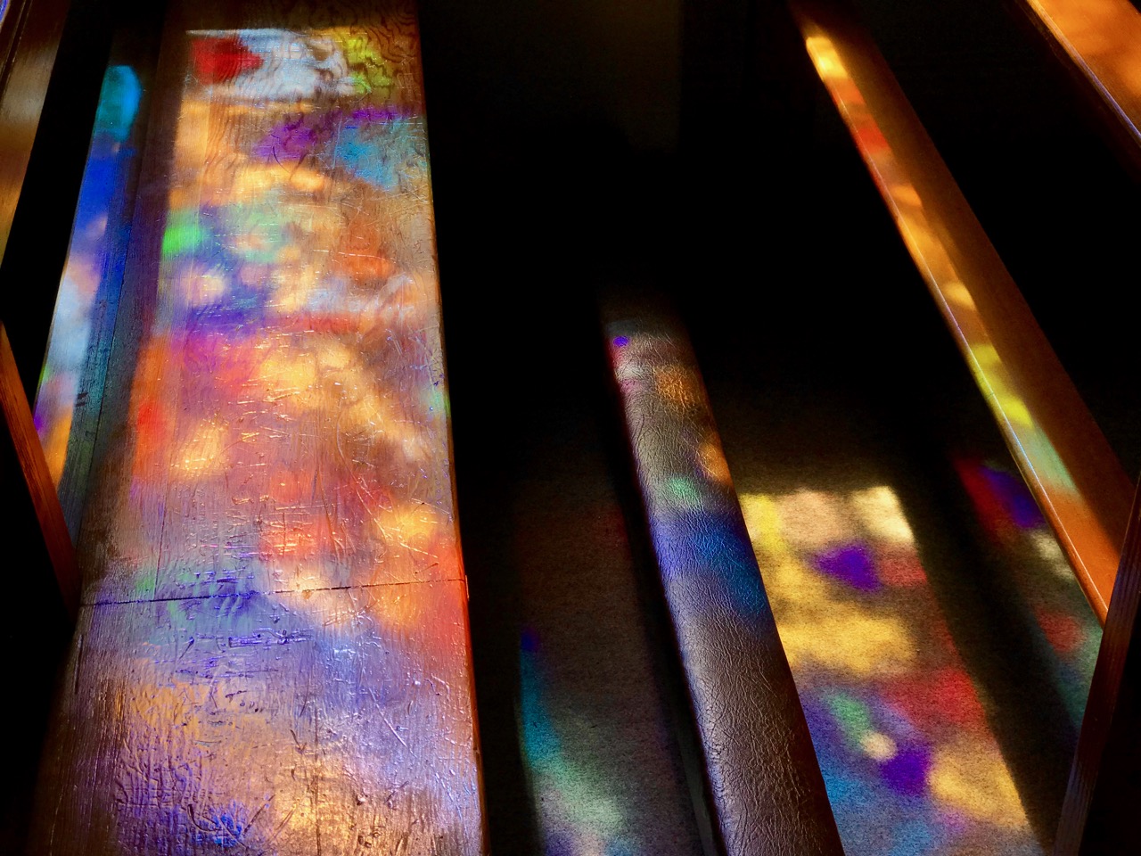
Top photograph – St Kentigern’s Church is in the centre of one of Ireland’s most colourful villages; middle – the sunlight plays games with the beautiful windows by glass artist George Walsh; bottom – light from the windows dances on the pews

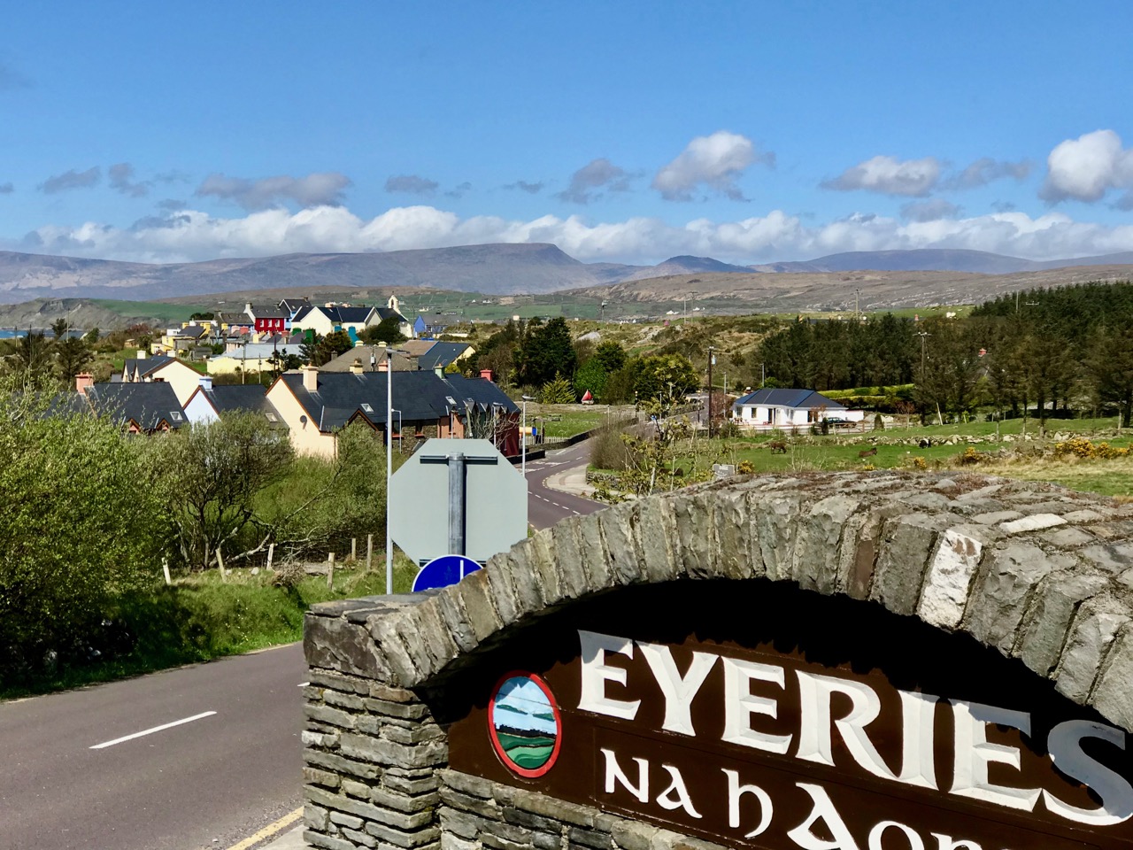
We knew where we were going: Finola was keen to revisit the little Catholic church of St Kentigern in Eyeries, which has a fine collection of windows by George Walsh: it’s a gem – and at its best for the quality of the light enhancing it on the day. I wanted to see the settlement itself in the early spring sunlight as it’s one of the most colourful places in the whole of Ireland! Neither of us was disappointed.

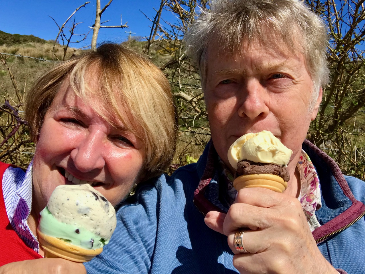
Just a taster of the treats in store in Eyeries: on a beautiful spring day there was hardly a soul around, but we were still able to find an ice cream in O’Sullivan’s!

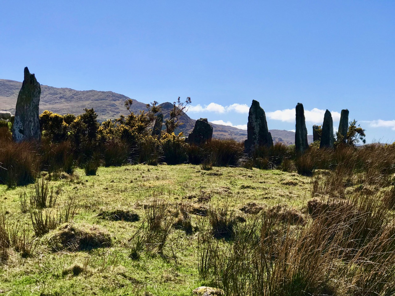
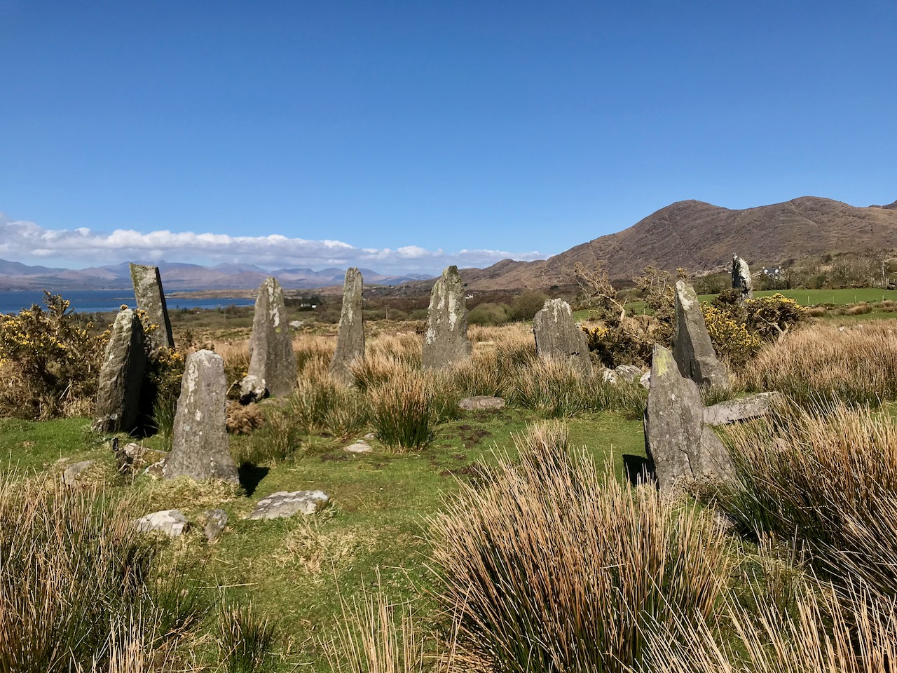
Our second objective was to travel into the hills and find Ardgroom Outward stone circle. The trail involves farm gates, stiles and a lot of mud – but the 9 stone circle (named locally ‘Canfea’) is a fine, almost intact monument with wide vistas to mountain and sea. The impressive outlier stone is 3.2m in height.

The magnificent Ardgroom Outward (or ‘Canfea’) stone circle is accessible via a marked, boggy path: the vistas from the site make the journey worthwhile. Finola is dwarfed by the huge outlier!

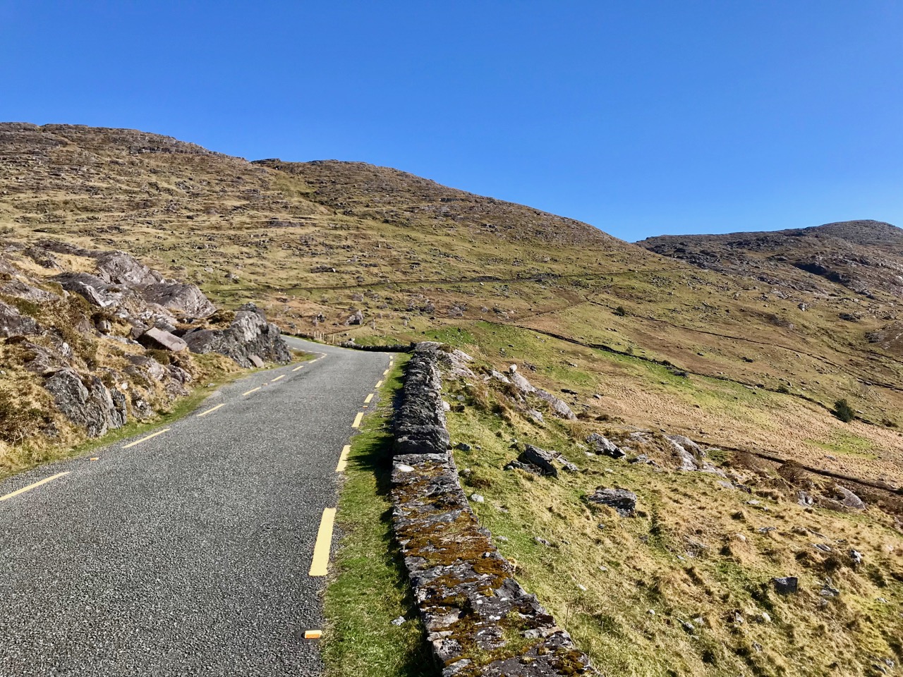
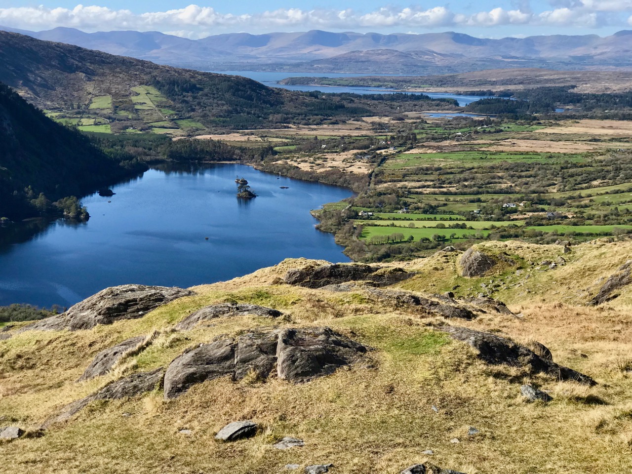
It’s barely a skip up to Eyeries from Nead an Iolair, so we had to carry on around the peninsula and take in the almost surreal views of oceans, lakes and mountains before dipping into Kerry and then heading over the top back into Cork county and down the Healy Pass – surely one of Ireland’s most spectacular road trips.

Returning home – with the evening sun setting gloriously over Roaringwater Bay – we reflected that there can’t be many places in the world where a single day can offer such a feast to satisfy all the senses.


Knockdrum Stone Fort

There is no firm line that denotes where our most south-westerly Irish peninsula begins. Our series, Mizen Magic, has reported on walks, roads, views, history and archaeology which can definitely be defined as belonging to the Mizen (which we tend to think of as being to the west of, and including, its ‘gateway’ – Ballydehob). Perhaps we should start a series titled Magic Beyond The Mizen – in which case this would be the first: a report on a very prominent site about half an hour’s drive along the coast east of where we live: a historic structure – built within the last 2,000 years – but which contains evidence of much older human activity.

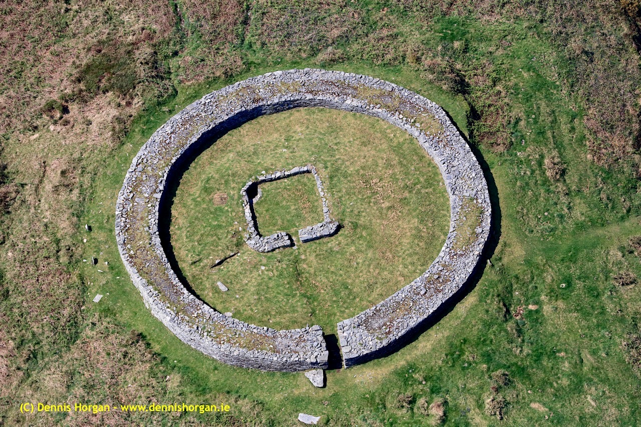
Here is an overhead view – the best way to see and understand the layout and construction of Knockdrum Stone Fort, which occupies a superb hilltop location in the townland of Farrandau between Skibbereen and Castletownshend. Thank you, Dennis Horgan – our professional West Cork aerial photographer – for allowing us to use this image: have a look at his website for other examples of his work, and for details of his excellent photographs and books.

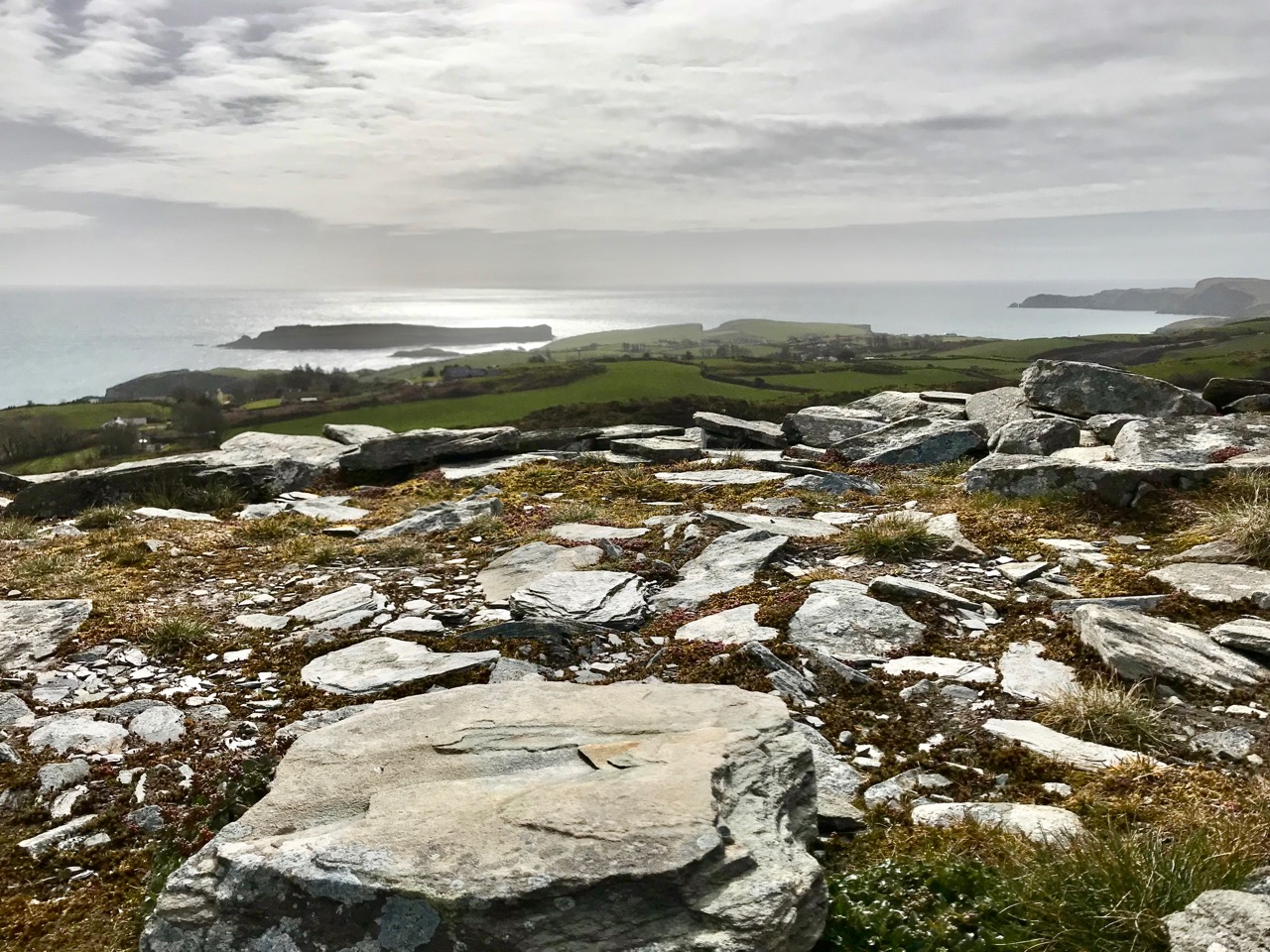
The Fort is located on a high ridge (although not on the summit of the ridge) with far-reaching views both inland and to the south, over the sea. The header picture looks from the Fort out to the west over Castlehaven to Galley Head in the far distance; the view in the picture above is due south – looking towards Horse Island, and the stone wall of the Fort is in the foreground. From these breathtaking vistas it’s reasonable to conjecture that Knockdrum Fort has a strategic siting, providing views of anyone approaching from the sea, and able to signal their arrival to dwellers in the ‘interior’ – the lands to the north. We cannot know for sure that stone fort structures had this – or any other – specific purpose: many theories have been advanced. Comparison with other examples is worthwhile. One of the largest stone forts in Ireland is Staigue Fort, near Sneem in County Kerry.

Staigue Fort (above) has a diameter of 27.5 metres, the present wall height is 5.5 metres, and the wall thickness is 4 metres. At Knockdrum the diameter is 22.5 metres, the present wall height is 2 metres and the wall thickness around 3 metres. The Duchas information board at Staigue says:

. . . This is one of the largest and finest stone forts in Ireland and was probably built in the early centuries AD before Christianity came to Ireland. It must have been the home of a very wealthy landowner or chieftain who had a great need for security . . . The fort was the home of the chieftain’s family, guards and servants, and would have been full of houses, out-buildings, and possibly tents or other temporary structures. No buildings survive today . . .

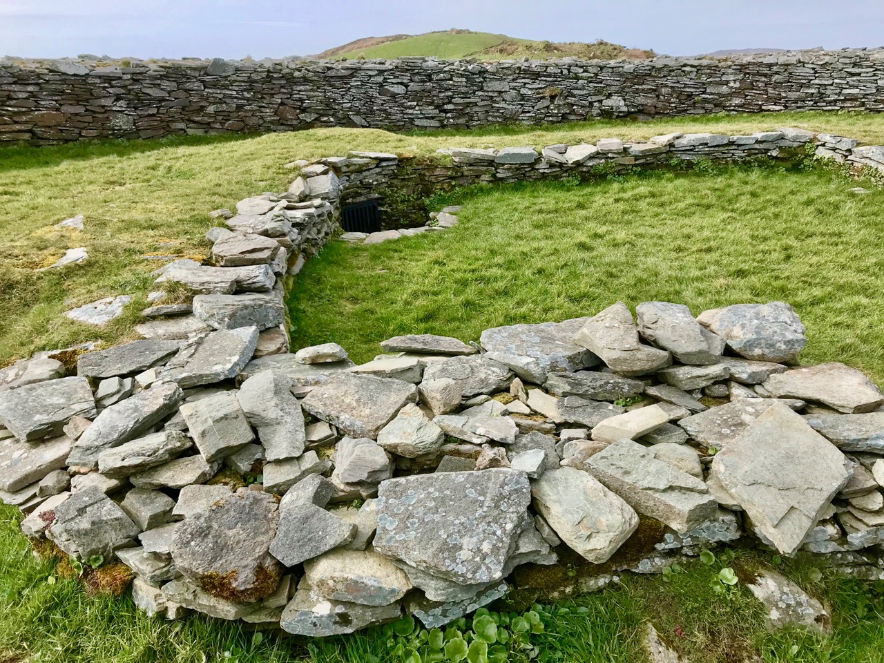
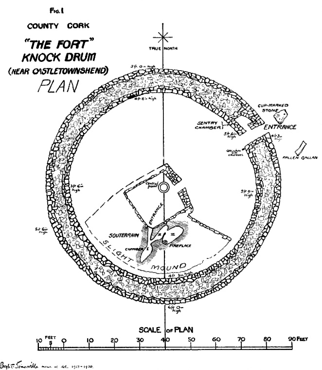
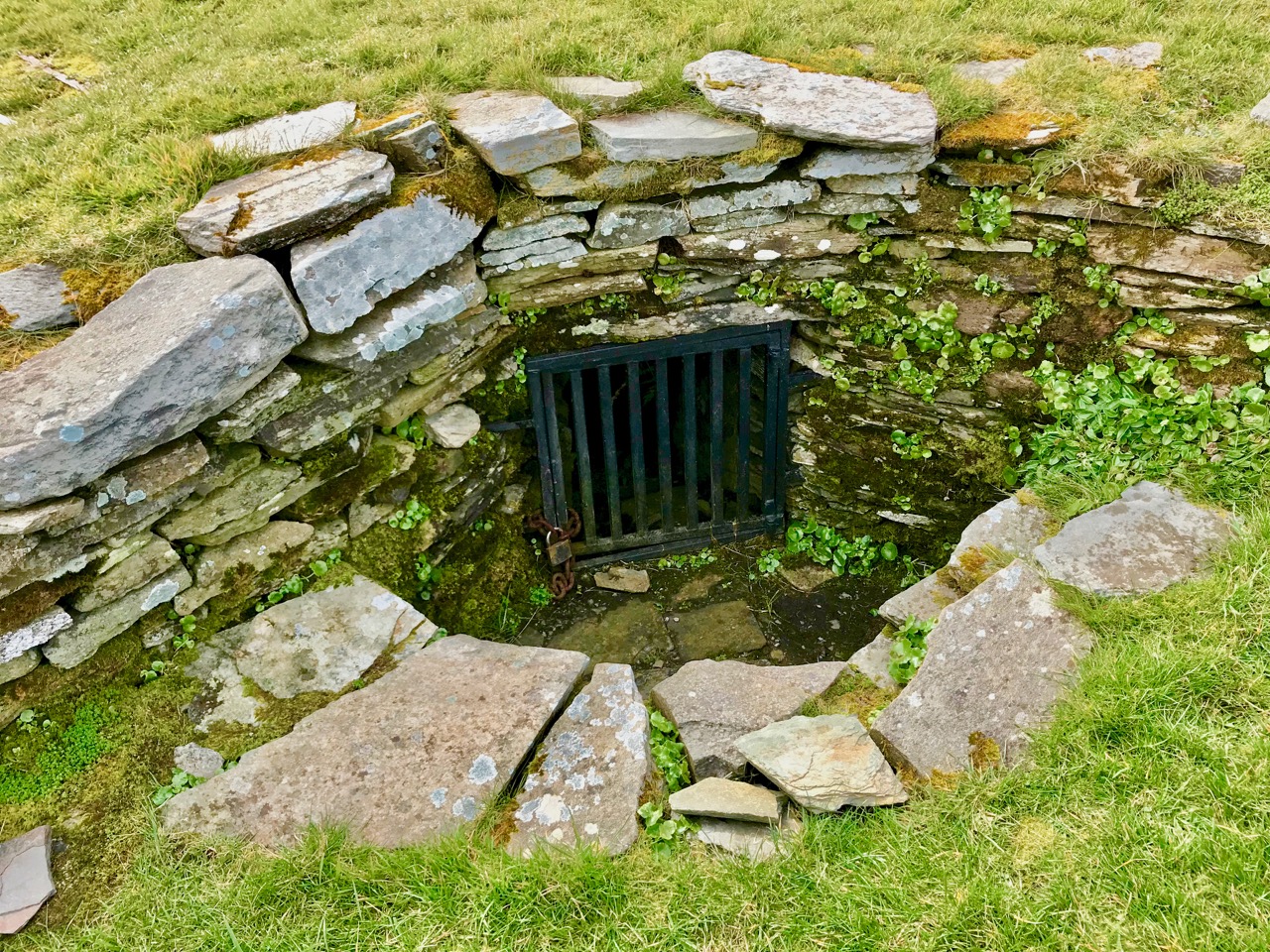
The picture above shows the present interior of Knockdrum Fort: the stone walls are likely to delineate a former building here. In the corner of the inner stone enclosure is the entrance to a ‘souterrain’ – a series of underground passageways. The souterrain is outlined on the following drawing of the Stone Fort which was made in 1930 after a detailed investigation of it by Vice Admiral Henry Boyle Somerville, the younger brother of writer and artist Edith Somerville of Castletownshend. Boyle, his life and his tragic death, is the subject of Finola’s complementary post today.

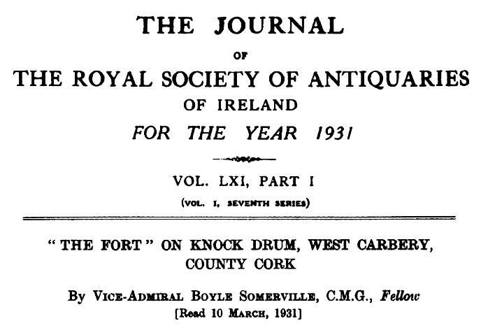
Finola is also discussing Boyle Somerville’s interest in the alignments of archaeological structures. In Boyle’s paper for The Journal of The Royal Society of Antiquaries of Ireland, 1931 (title page below), he presents the evidence that this Fort is on a solar alignment.

Boyle sets out the case for an alignment based on the Knockdrum Fort:

. . . This conception of the earlier use of the site of the cathair [the stone fort] for purposes which may perhaps be termed “religious,” seems to be borne out by the following fact. At a horizontal distance of about 600 yards to the E.S.E of the cathair, and at 210′ difference of level below it, there is a small rocky ridge standing up from the surrounding grass land. The name of the ridge is “Peakeen Cnoc Dromin,” The little peak of the white-backed hill . . .

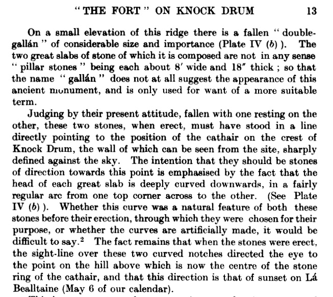
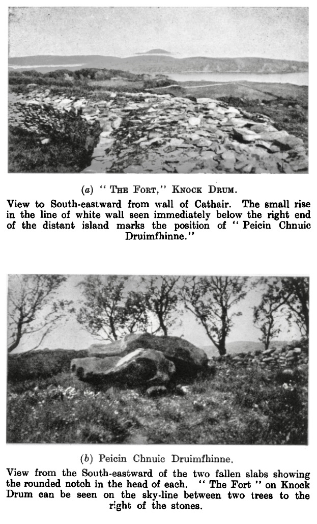
The following paragraphs and photos are from the Journal paper:

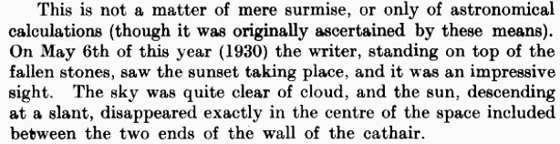
Finola and I are familiar with the Peakeen Cnoc Dromin from our researches into Rock Art: the uppermost stone (which does appear similar to the capstone of a fallen dolmen) is heavily cupmarked. The photos of the Peakeen (above) were taken before we had any idea that they might form an alignment connected with Knockdrum Stone Fort. We will have to revisit again at Bealltaine. Boyle confirmed his alignment theory by personal observation:

He went on to suggest:

. . . It is one of the clearest instances of intentional orientation between two ancient, and artificially formed monuments that can be imagined . . .

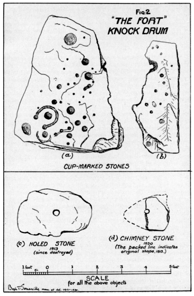
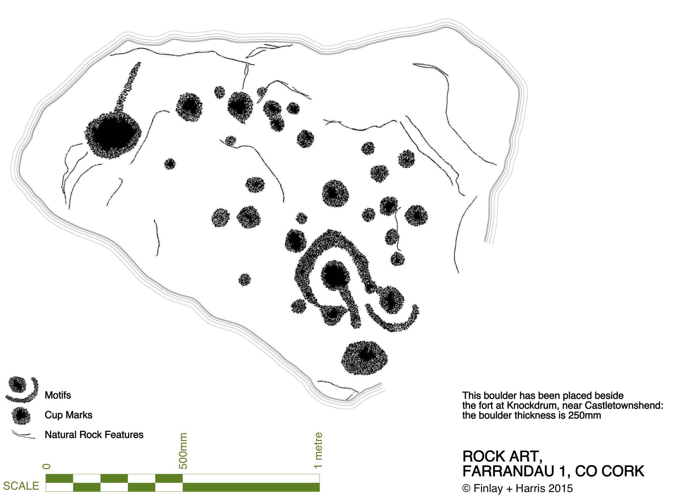
Of course, it can’t be the case that a cupmarked stone dating from anywhere between 3,000 to 5,000 years ago was in any way connected with a stone fort that dates from the early part of the first millennium AD. However, I have as yet omitted an important piece of information: at Knockdrum Fort, high up on the hill, are two further ancient cupmarked stones – and significant ones: the larger also exhibits Rock Art. Somerville illustrated them in 1930, and Finola recorded them in detail in 1973.

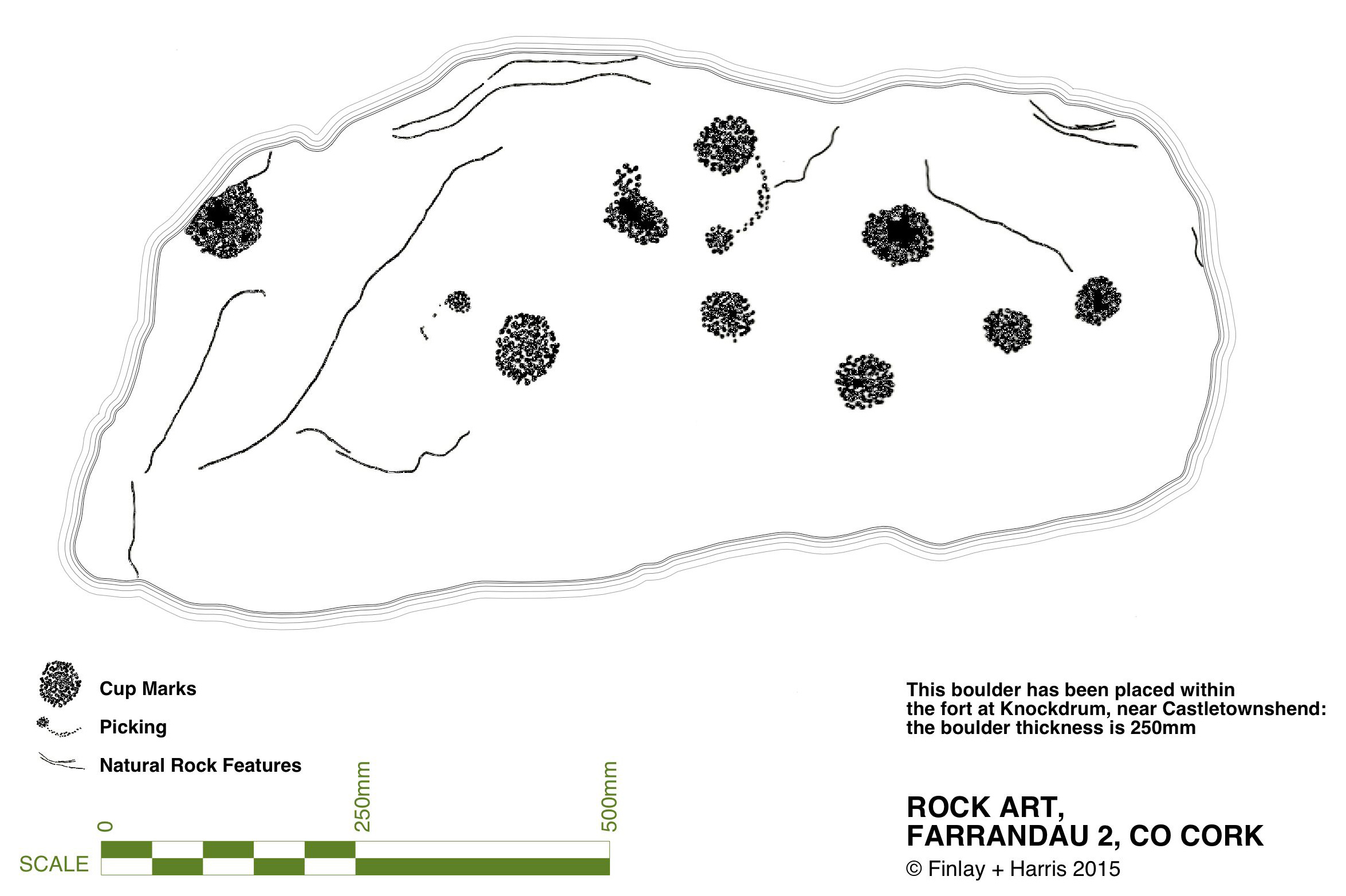
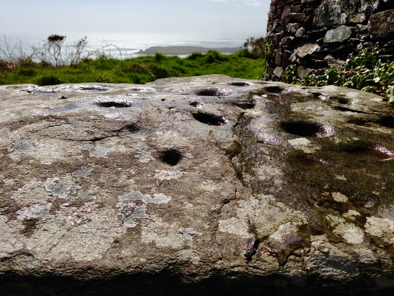
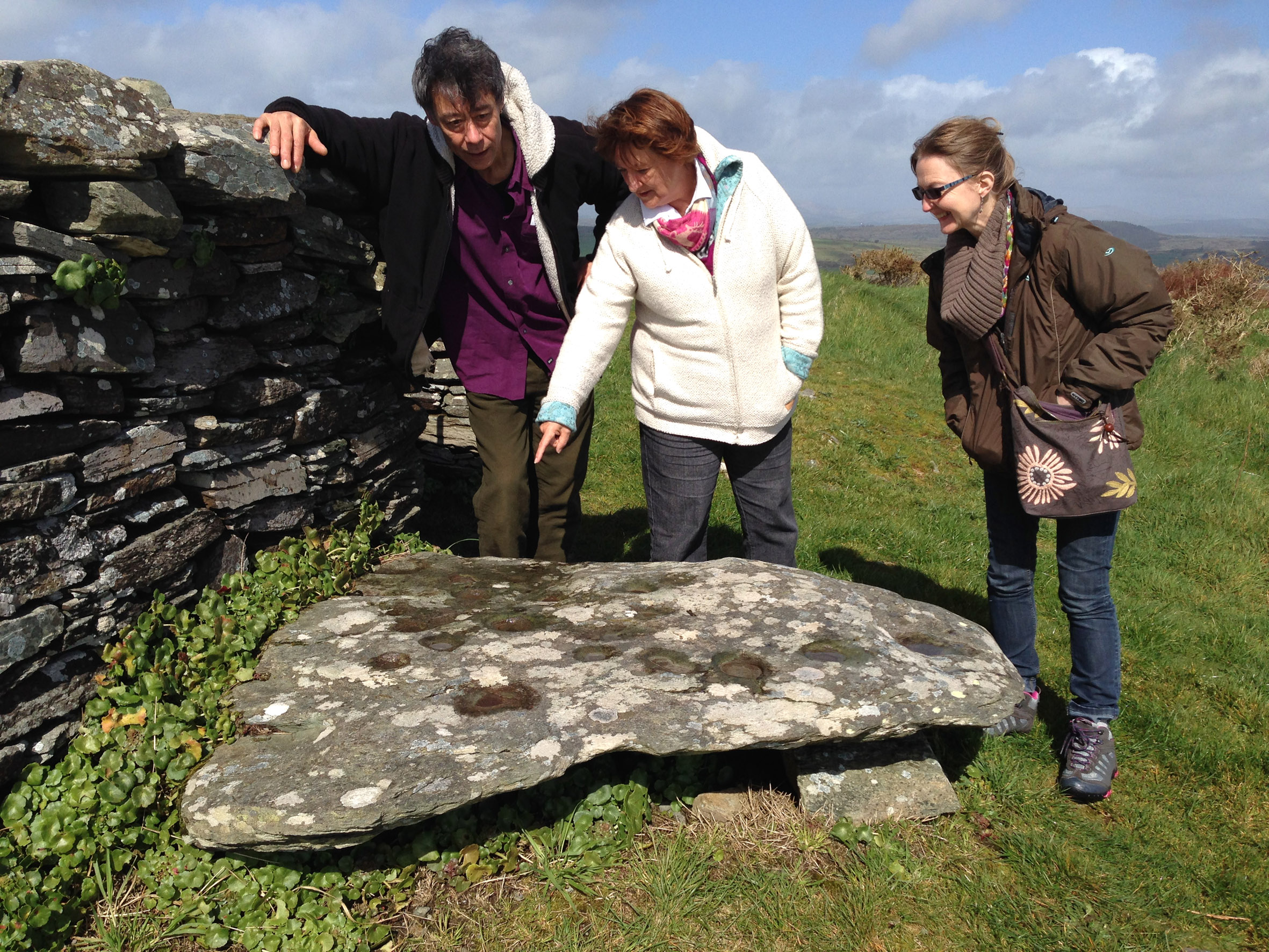
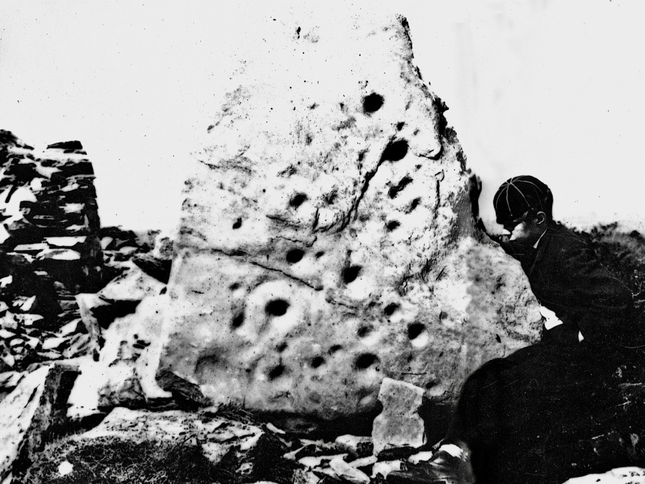
Images above are of the stones recorded at Knockdrum: topmost is Boyle’s drawing from 1930. Below Finola’s drawings are photographs of the large stone lying by the Fort entrance today: it is known that this has been moved, possibly during Somerville’s time. The old photograph immediately above is from the Coghill Family Archive and shows Arthur Townshend beside the stone, which is standing. Arthur was born in 1863: this photograph may record the occasion of the expedition by the young Somervilles and ‘their cousin’ (quite possibly Arthur) to Knockdrum described below, which took place in 1875. It is the presence of Rock Art and cupmarks at the Fort itself which tells us that the site must have had significance in far earlier times (perhaps that’s why the fort was sited in that location – rather than on the summit of the ridge), and Boyle’s reported alignment would have been with the carved rocks (or the important location that they marked) rather than with the comparatively modern stone fort.

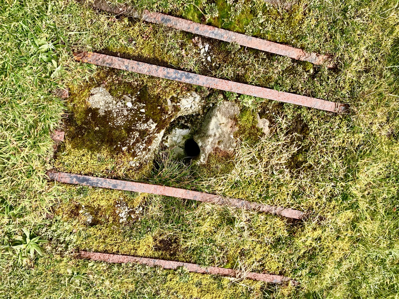
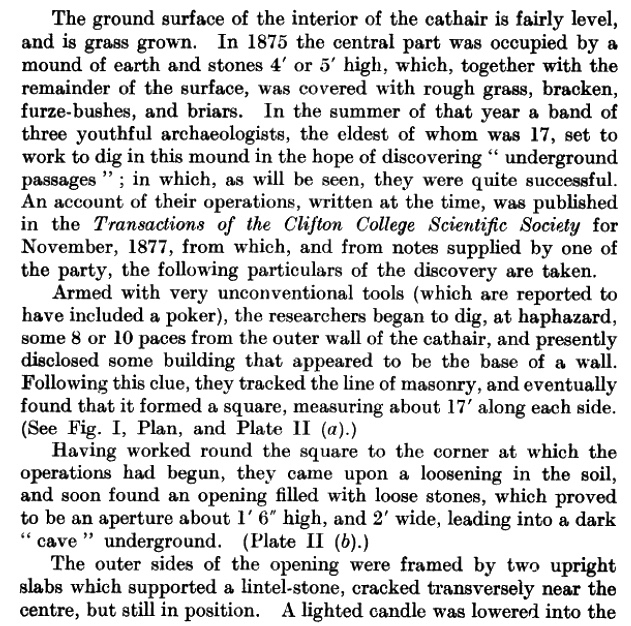
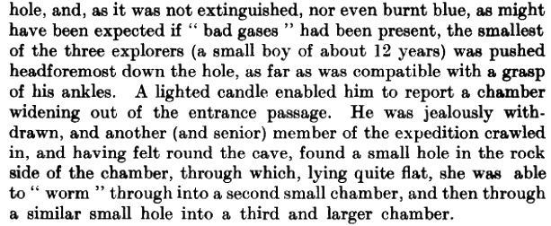
The souterrain in the enclosure of Knockdrum Fort (entrance in top photograph – ‘chimney’ in lower photograph) was explored in 1875, as Boyle recounts:

The ‘band of three youthful archaeologists’ are likely to have been Somervilles: Edith (the eldest, then 17), Boyle (then 12 – it was he who was lowered down into the discovered ‘cave’ by his ankles!) and, probably, a cousin. Great adventures, which would undoubtedly raise eyebrows today.

Within the fort enclosure is this cross-marked stone. It was apparently leaning against the wall in Boyle’s days, but has now been embedded close to the entrance. We visit this site often: this time we noted some significant disruption to the upper level of the dry stone walling, possibly caused by the fierce storm winds earlier this year. Compare the detail below with Dennis Horgan’s aerial view above, taken a few years ago.

Some damage has also been suffered to retaining walls on the green boreen leading to the Fort from the main Skibereen – Castletownshend road (a walking route only), and on the stone walls beside the 99 steps which take you from the green path to the top of the hill. These are passable with care, but it is hoped that this monument – which is in State ownership – will be deservedly returned to good order before too long: it is one of the historic wonders of West Cork.

Mizen Magic 9: Rossbrin to Schull

There’s a main road between Ballydehob and Schull, and then there’s a back road – a road that meanders through farmland and down half-forgotten boreens, a road lined with wildflowers and dotted with the remains of past history, a road that looks over once-inhabited islands. South of this road lies Mizen Magic 9.

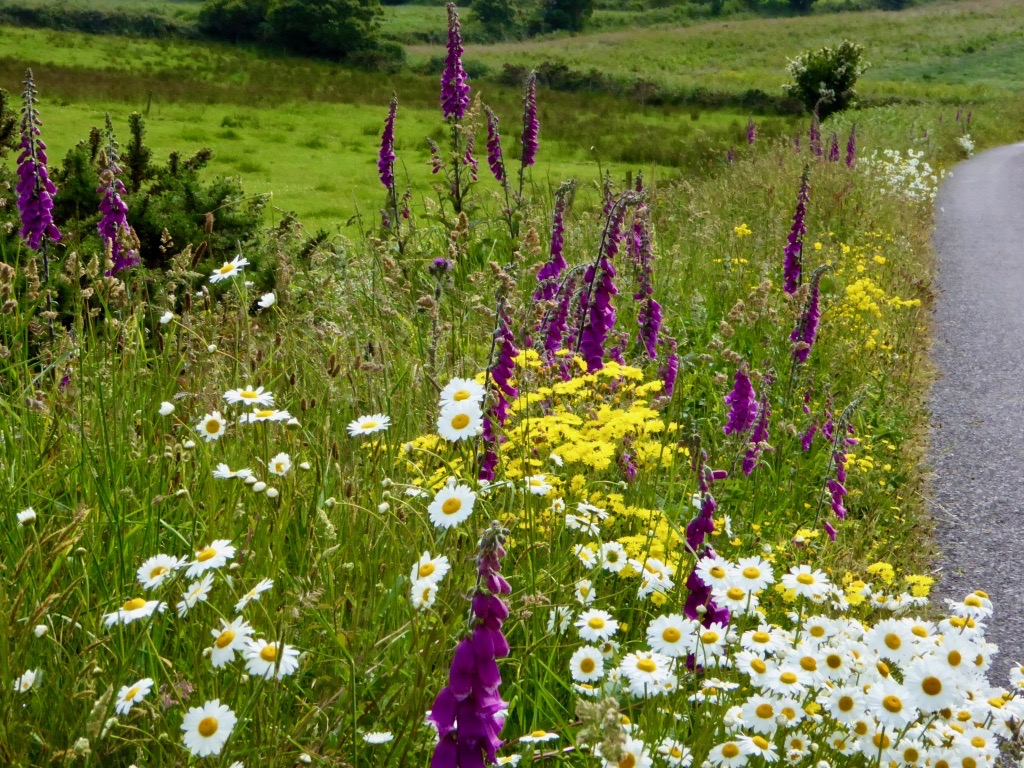
Along the back road in early summer

We’ll start at Rossbrin Cove – a place that Robert has written about over and over, like any writer with his own ‘territory.’ This was the home, in the 15th century, of Fineen O’Mahony, the Scholar Prince of Rossbrin.

Looking down now on what’s left of his castle, it’s hard to imagine that this was a place teeming with life and learning – a mini-university where scribes and poets and translators transcribed to vellum (and to paper – a first in Ireland) psalters, medical tracts and even the travels of Sir John Mandeville. The castle has been in ruins since the 1600s, and we live in fear that the next storm will bring the last of it down.

Rossbrin Castle from the sea

The road runs through the townlands of Rossbrin, Ballycummisk, Kilbronogue, Derreennatra and Coosheen. Ballycummisk has a wedge tomb from the Bronze Age and a ring fort from the Early Medieval period – just to remind you that you are far from the first to want to settle in this place. In more recent times, and like Horse Island, it was once the centre of a thriving mining industry, but a spoil heap and stone pillars are all that remain.

Large ring fort, and the remains of mining activity, in Ballycummisk

Two islands dominate the views of Roaringwater Bay along this road. The first is Horse Island, owned now by one family, with its industrial past a distant memory. There have been various plans for Horse Island in recent years – a resort, a distillery – but so far it has resisted development.

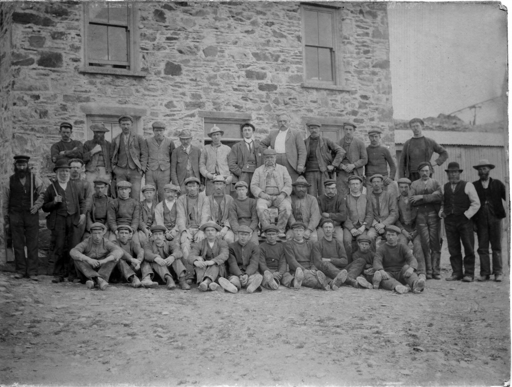
Horse Island Miners in 1898 and the ruins of miners’ dwellings

The other is Castle Island, home to yet another vestigial O’Mahony Castle – one of a string along the coastline, all within sight of each other and sited strategically to control the waters of Roaringwater Bay and their abundant resources.

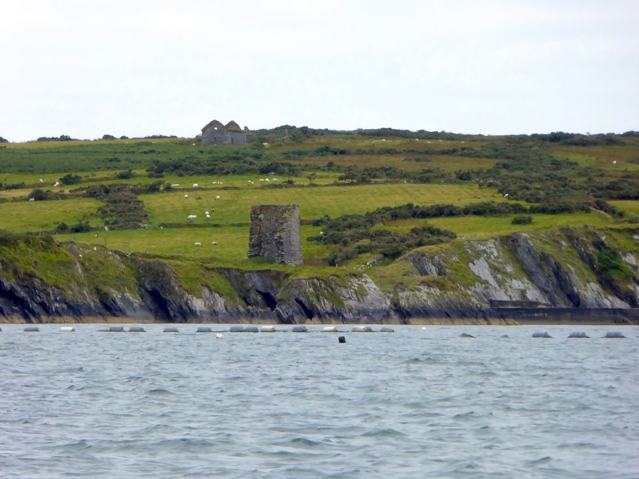
There’s not much left of the castle on Castle Island

The O’Mahonys became fabulously wealthy in their day, charging for access to fishing and fish processing facilities and for supplies and fresh water. They also forged strong alliances with the Spanish and French fishermen and visitors who plied those waters – a friendship that was to cause great concern to the English crown and that was to spell, in part, their eventual downfall.
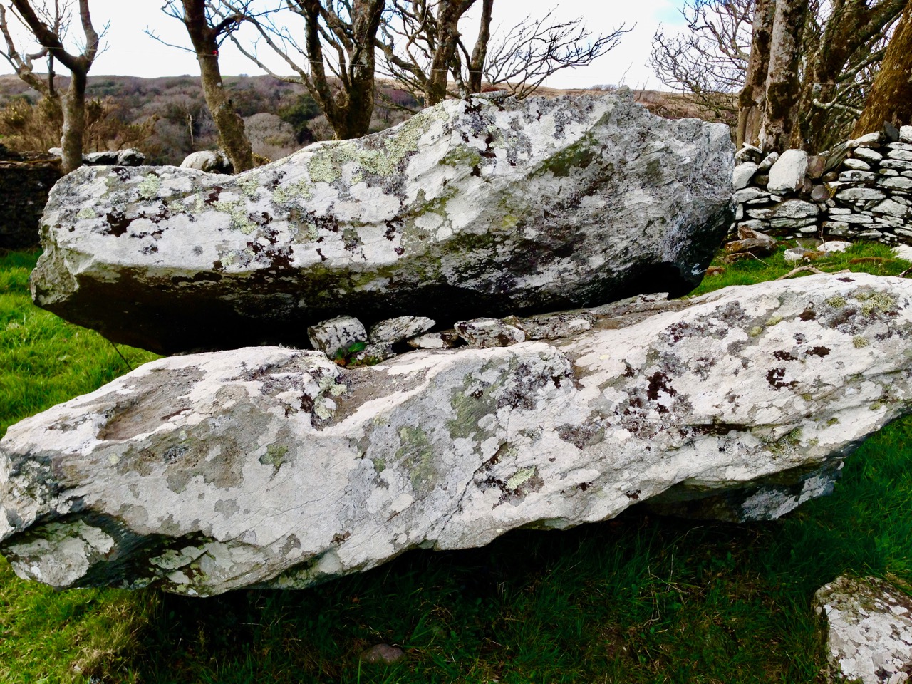
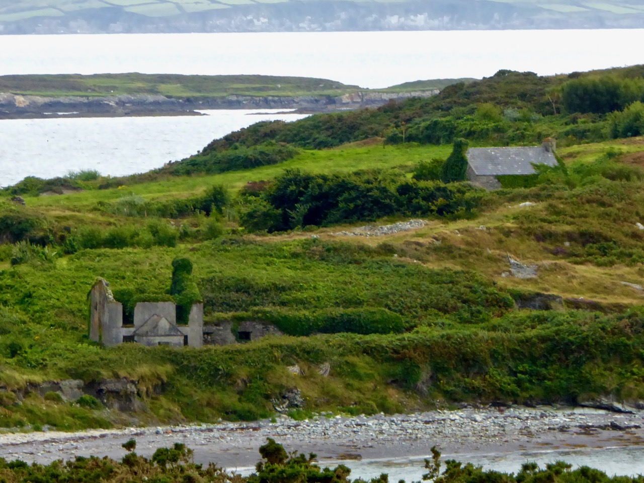
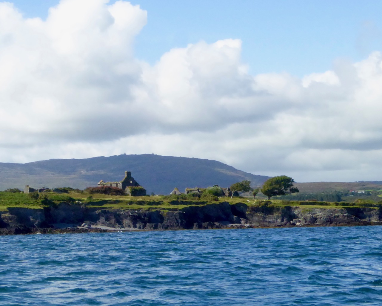
Ruined farm houses on Castle Island. The photograph was taken from a boat – that’s Mount Gabriel in the background

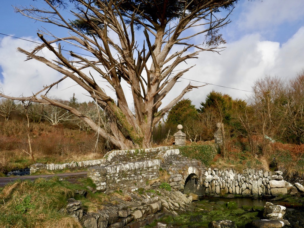
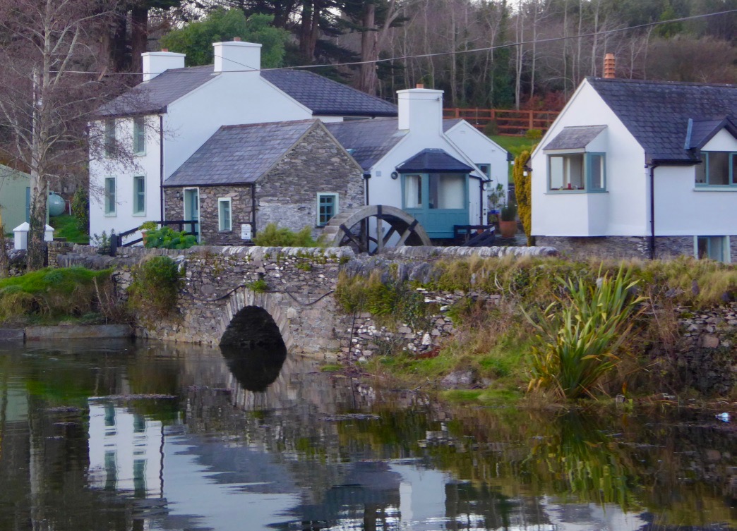
The closest spot to Castle Island (also uninhabited) is the beautiful little pier at Derreennatra. There is a large house up behind the pier, now inaccessible but once run as a guest house and famous for its hospitality. A curious bridge once gave access to the demesne and it remains a striking landscape feature, with its pillars and giant Macrocarpa tree.

Derreennatra Bridge

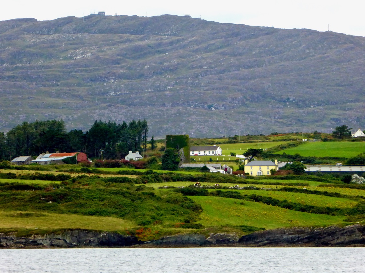
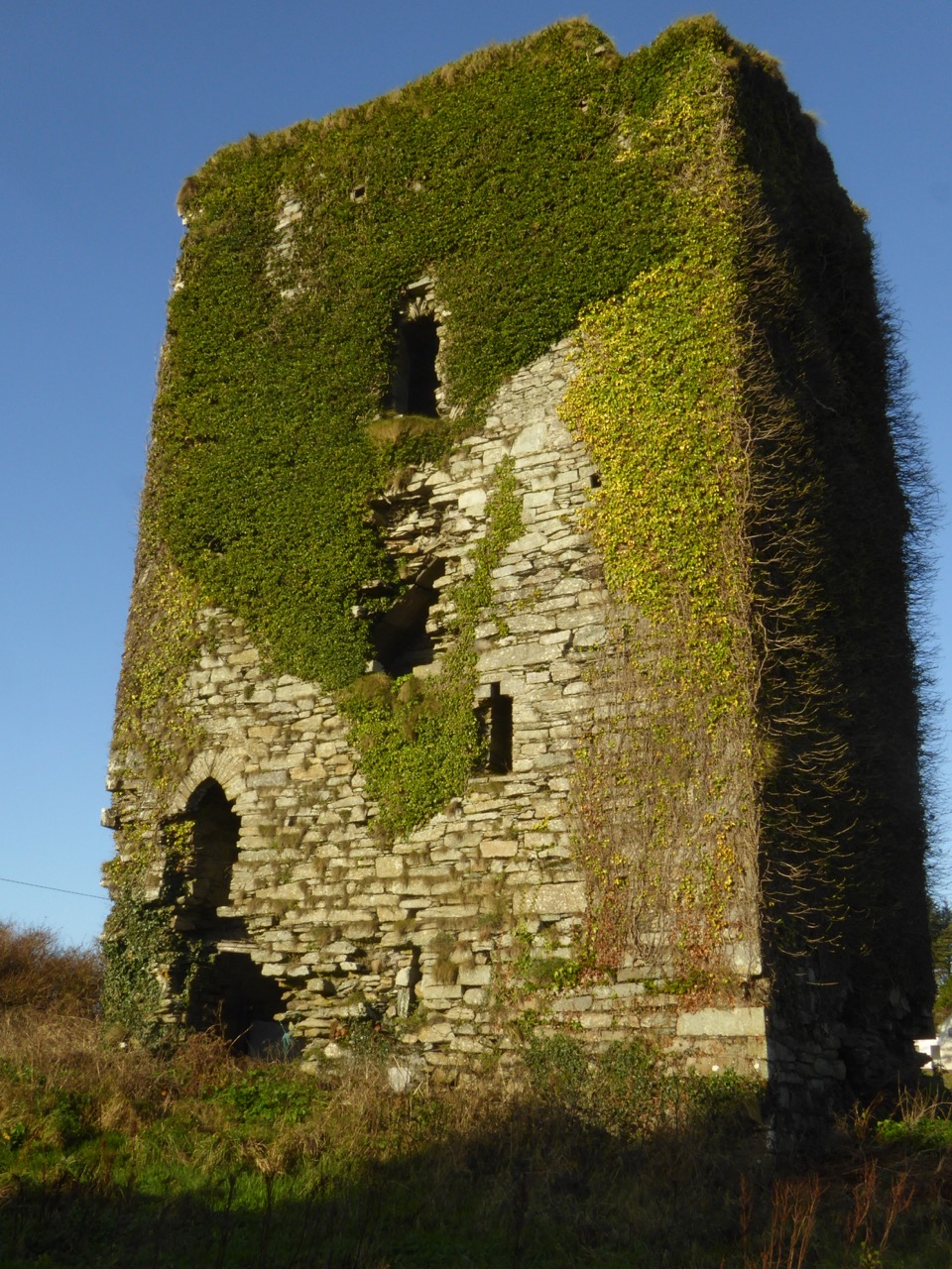
Continuing towards Schull we come to the last of the O’Mahony castles and the best preserved in this area. This is Ardintenant (probably Árd an Tinnean – Height of the Beacon – possibly referring to a function of the castle to alert others to the presence of foreign vessels) and it was the home of the Taoiseach, or Chief, of this O’Mahony sept.

Two ‘beacons,’ ancient and modern – Ardintenant or White Castle below and above it the signal stations on Mount Gabriel

The castle, or tower house, still has a discernible bawn with stretches of the wall and a corner tower still standing. If you want to learn more about our West Cork tower houses, see the posts When is a Castle..?; Illustrating the Tower House; and Tower House Tutorial, Part 1 and Part 2.

Ardintenant is also known as White Castle, a reference to the fact that it was once lime-washed and stood out (like a beacon!) to be visible for miles around. It appears to have been built on top of an earlier large ring-fort which in its own day was the Taoiseach’s residence before the fashion for tower house building.

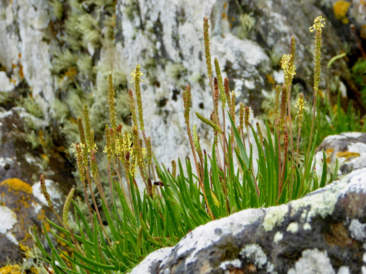
Sea Plantain at Coosheen

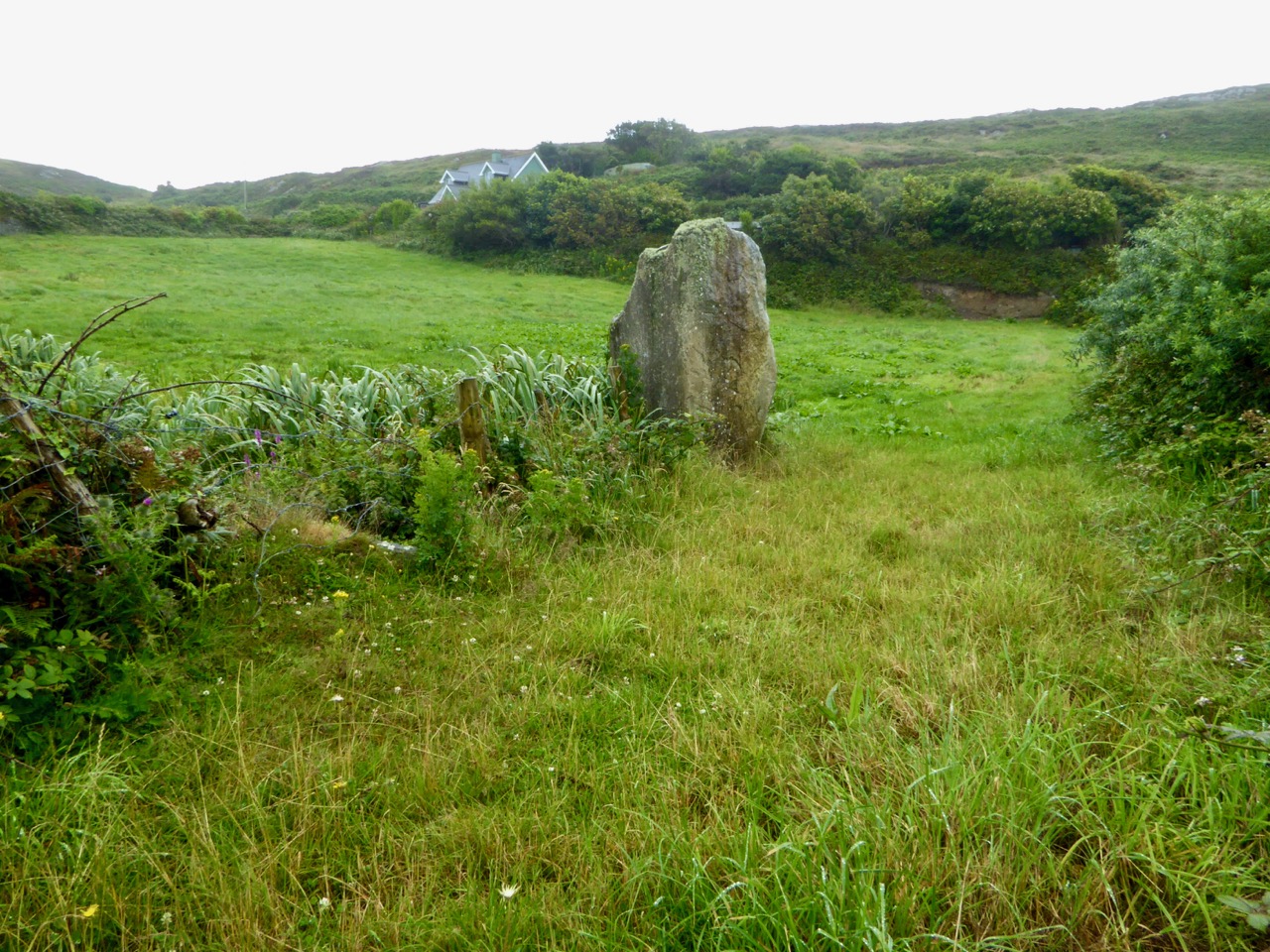
From Ardintenant we head south to Coosheen, a picturesque pebble beach known only to locals. It’s one of my favourite places to go to look for marine-adapted wildflowers. On a rainy day last August I saw Sea-kale, Sea-holly, Sea Plantain and Thrift, and drove back on a boreen lined with Meadowsweet and Wood Sage and past a standing stone whose purpose has been long-forgotten but that continues its vigil through the centuries.

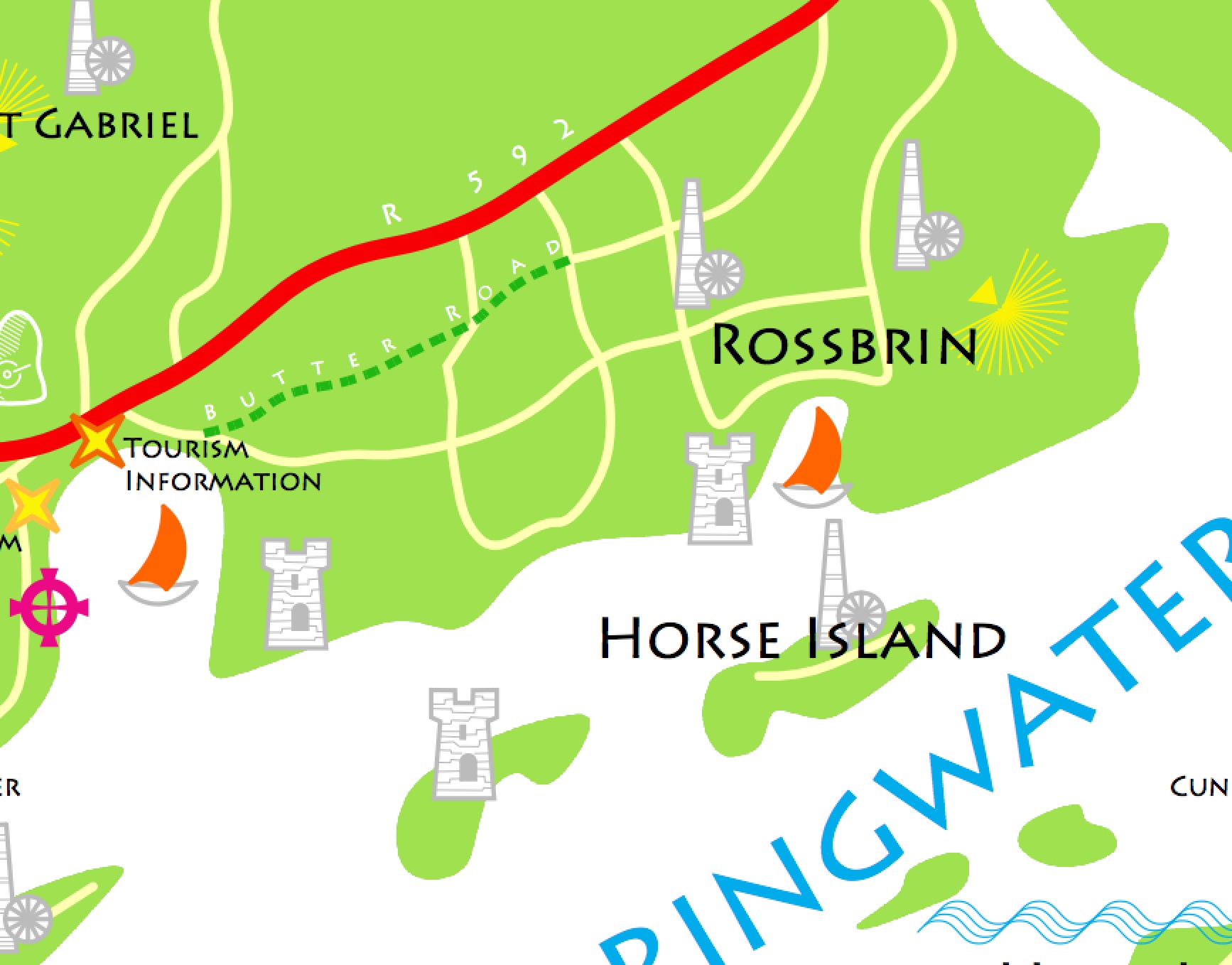
Our final spot in Coosheen is Sheena Jolley’s mill house, now the gallery of this award-winning wildlife photographer. She has restored it beautifully and the gardens are a work-in-progress that manage to capitalise on, rather than overwhelm, the mill stream and the rocky site. This is also the starting point for the Butter Road walk – but that deserves a new post one of these days, a post in the Mizen Magic series. We have written one but it was a long time ago.
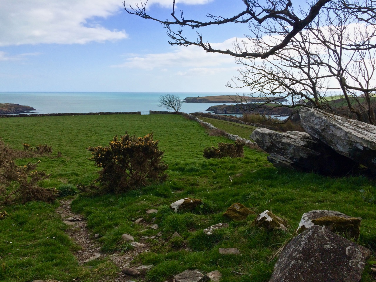
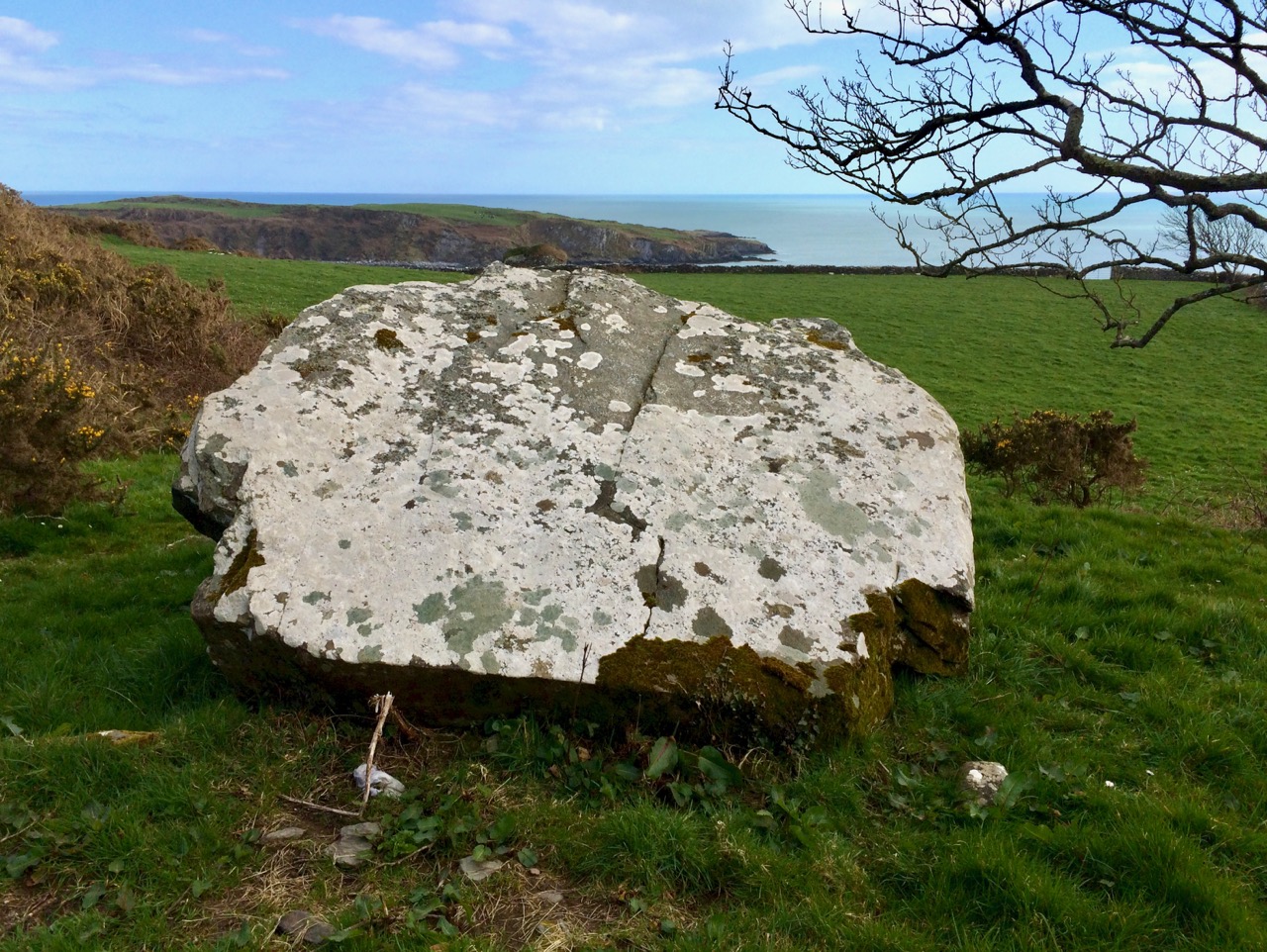
Take a walk, or a drive, down any part of this road – do it in summer when the boreens are heady with wildflowers, or do it in winter when the colours of the countryside are at their most vivid. Heck, do it any time!


Mizen Magic 8: The Altar

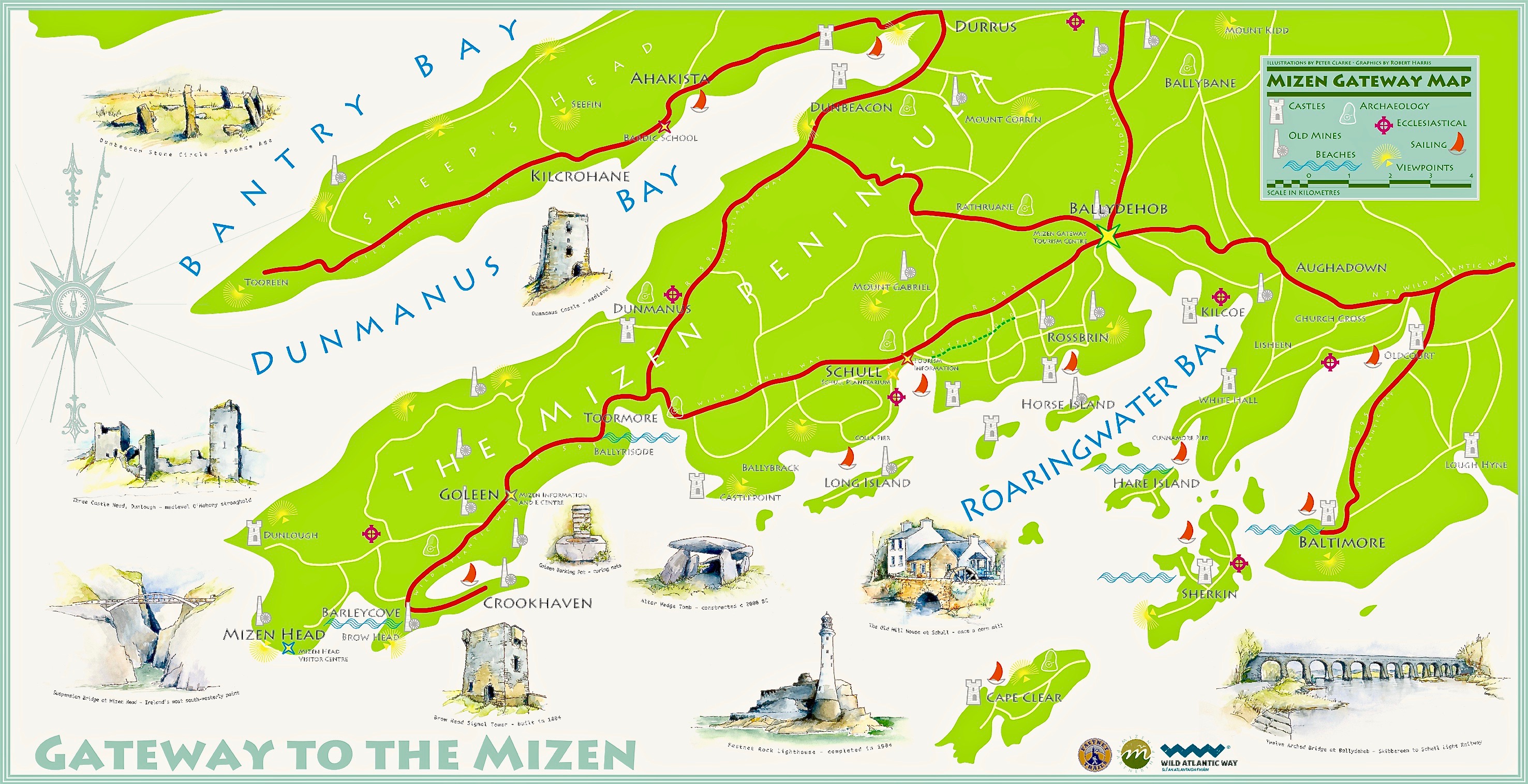
Here’s the Mizen Peninsula shown on a map drawn by Robert for the Bank House tourism centre in Ballydehob and embellished with Peter Clarke‘s exquisite watercolour sketches of just some of the places that should not be missed by visitors to West Cork . . .

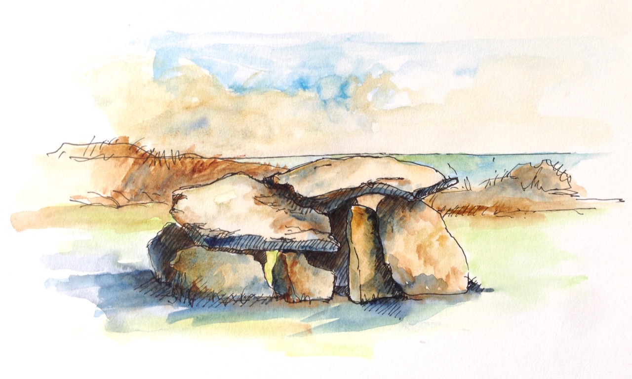
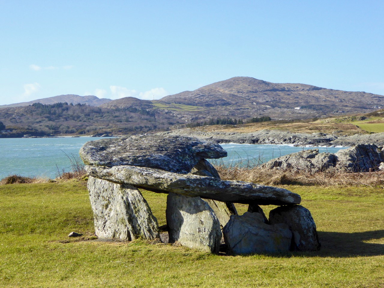
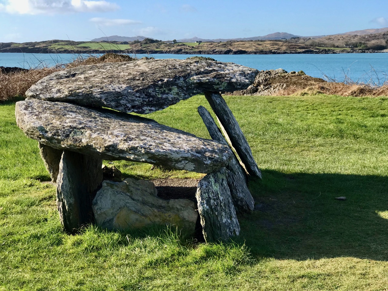
. . . And here is another rendering from Peter of one of the ancient sites that everyone goes past when travelling to the far west: possibly one of the most accessible pieces of archaeology on this section of the Wild Atlantic Way. It’s the Altar Wedge Tomb at Toormore Bay.

It’s early February, and Imbolc has passed. That means that Springtime has officially started here in Ireland. Sure enough, we looked out over a sunlit Roaringwater Bay this morning: soon we were heading out towards Goleen, Barley Cove and all points west. We stopped at The Altar and had it all to ourselves. You can see here that it’s orientated towards the Mizen Peak – that sharp little pyramid which is right on the centre of the picture – and lies to the west. For me, there’s a perfectly natural symbolism about placing the dead in a tomb that is aligned on the rising and the setting of the sun: that’s something we still do, several thousand years on!

The upper picture, taken on the Winter Solstice, shows the Mizen stretching away from the heights of Mount Gabriel: the Mizen Peak is the little pointed blip just left of centre. The lower picture looks across the wetlands behind the sand dunes at Barley Cove, and was taken today in the Spring sunlight: the Peak is clearly visible as the highest point. I believe that our forebears attached great importance to high places, as many stone monuments and Rock Art often seem to be placed in the landscape with commanding views towards hilltops. Mike Wilson’s site Mega-What sets out his detailed studies of the orientation of ancient sites within the natural landscape. Here is his analysis of the setting of the Altar Wedge Tomb.

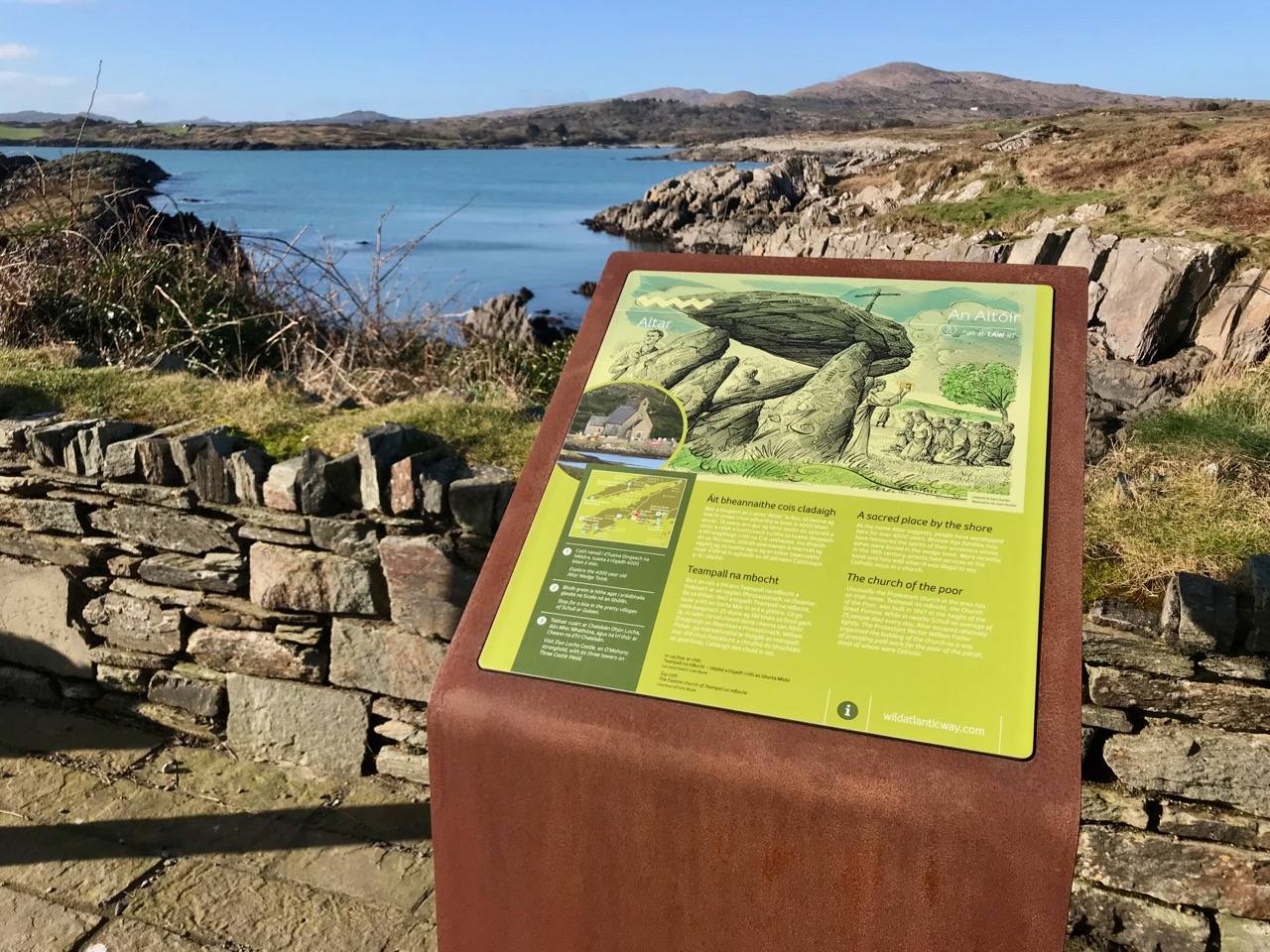
I am always alert for the ways in which our special sites are interpreted for us. I created a bit of a storm a while back when I commended the signage which has been put in place along the Wild Atlantic Way using visually strong corten steel elements (above left) supplemented more recently by (in my opinion) very well designed information boards. The image on the right above is from an earlier OPW board which explains the possible early use of the wedge tomb, while the images below show the new signage, which features the later use of the tomb as a Christian altar during the Penal times (hence the name: The Altar), with a drawing by Sam Hunter. I am struck by the way this monument has been a focal point for differing rituals spanning countless generations.
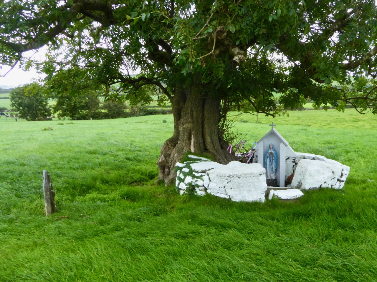
When writing about archaeological subjects I am always on the lookout for the way that antiquarians saw the sites which we are familiar with today. I had hoped that George Victor du Noyer – the subject of an excellent recent exhibition in Cork’s Crawford Gallery – might have drawn this wedge tomb when he travelled the country for the Ordnance Survey during the early nineteenth century: he may well have done, but the annotation and cataloguing of his vast legacy of work has yet to be completed and I have not found such a record. His drawings below are not of The Altar, but a portal tomb, Ballybrittas in County Wexford. Portal tombs (sometimes known as dolmens) share similarities with wedge tombs, but are earlier, dating from between 3000 BC to 2000 BC, while wedge tombs tend to be associated with the Bronze Age, which followed this period.

Cremated remains were found in Altar Wedge Tomb when it was excavated in 1989 by Dr William O’Brien, now Professor of Archaeology at UCC. We can never know exactly what the significance of these impressive structures was to those who built them. For me, I’m pretty sure that it was connected with their relationships to, and respect of, the landscapes which they inhabited, and which they invested with meaning. They must certainly have paid heed to the passing of the seasons and the continual cycles of nature, and their closeness to all of this must have given them an inherent knowledge of the paths of the sun, moon and stars. Above all, our ancestors had to understand and appreciate the environment around them, and make it work for them. In a practical sense, certainly, but also in terms of the stories they might pass on about the meaning of places.

Above – the magical landscape of the Mizen: we will never tire of it

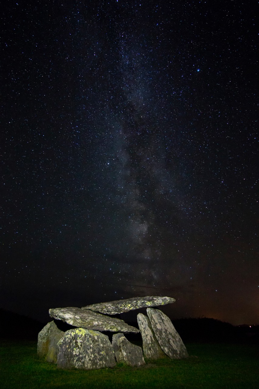
The tailpiece picture, which is from Wikimedia Commons, attributed to Lukeoc88, is a remarkable timeless view of a human construction in the setting of our Universe: Altar Wedge Tomb under the Milky Way.

It’s Been Five Years! Finola’s Favourite Posts

I can hardly believe it – we’ve been doing this for five years now and we’re nowhere near running out of ideas for posts. And have you read Robert’s post? Imagine being called a 21st Century Robert LLoyd Praeger! Thrilled. But in fact as I dip into Praeger again I recognise in us the same impulse he had – to wander the land and discover all that it has to offer.
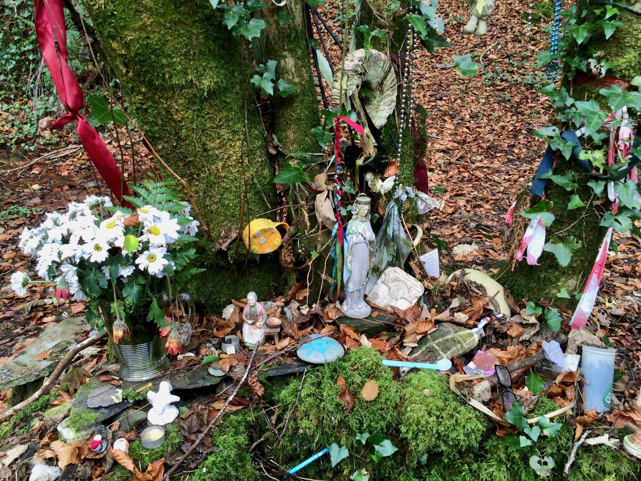
Amazing what you stumble across in the countryside, like this holy well and its offerings

One of the wonderful things about blogging like this is how much you LEARN every day, about Ireland, our neighbours, the ground we walk upon, the history and archaeology to be discovered around every corner, the wisdom of country people, the humour and expressiveness of Irish speech, the breathtaking beauty of the landscape. So where on earth to begin?
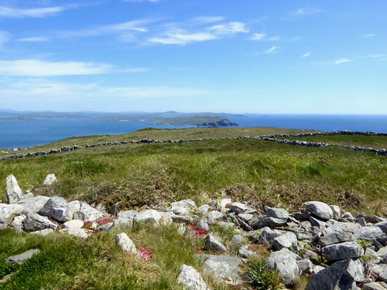
Our interest in archaeological sites led us to hike to the highest point on Cape Clear Island to see the sparse remains of a neolithic passage grave – and what a spectacular view there was from it, towards Sherkin Island and all the way down the coast of West Cork

Like many, I sat in churches as a child unaware of the architectural splendours around me. One of the delights of returning as an adult is discovering Irish stained glass, really seeing it for the first time. Harry Clarke, of course, is always a favourite, but I have been thrilled to discover other artists too: Richard King, George Walsh, the artisans of the Tower of Glass. There will be lots more posts about stained glass in the future as I unearth more treasure.

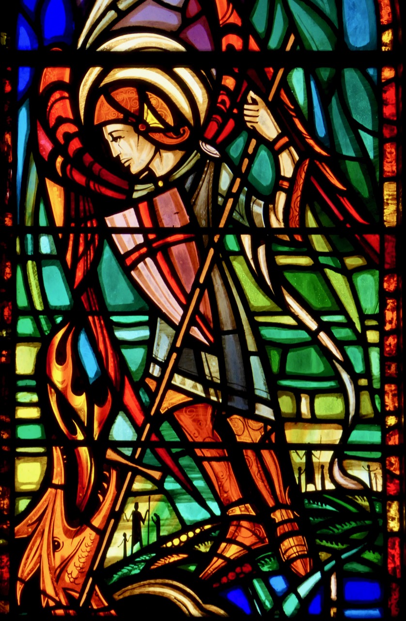
A recent discovery, George Walsh windows in a rural church in West Cork. This is his rendering of the Archangel Michael defeating the devil as a dragon

Going back to my roots as an archaeologist has been an extraordinary journey – so much has changed, so much has not. I started out in archaeology in the 70’s, although life got in the way of that career eventually. It was a small profession then: it exploded in the 80s and 90s with the advent of huge building projects, then contracted again when the recession hit.

I love the quiet little sites you find when you least expect them – this is a wedge tomb in the middle of a field. It has cupmarks all over one of the capstones

I have gone back to researching prehistoric rock art and finding that, while some excellent work has been done in this field over the last 40 years, there is a lot of scope still for an independent researcher to contribute to our appreciation of this little-known aspect of Irish prehistory. Along with our exhibitions, I’ve written several posts (not all of them happy) on this topic, and we are currently working on a paper for the Journal of the Bantry Historical and Archaeological Society on a special group of rock art panels at Ballybane.

Castlemehigan, one of our favourite rock art sites, with views right back over the Mizen Peninsula to Mount Gabriel

When I studied at UCC under Professor O’Kelly the emphasis was firmly on prehistory and we spent little time on medieval structures (or later ones, heaven forbid!). But when you are free to pursue whatever tickles your fancy, you find yourself wandering down a variety of rabbit holes. I became fascinated with Romanesque ecclesiastical architecture and with the tower houses (we just call them castles) that dot the countryside around here and the later iteration of the Big House – fortified manors. Visiting these intriguing ruins all over West Cork (and Ireland) has given me a whole new appreciation for how we lived and what we believed in the past.

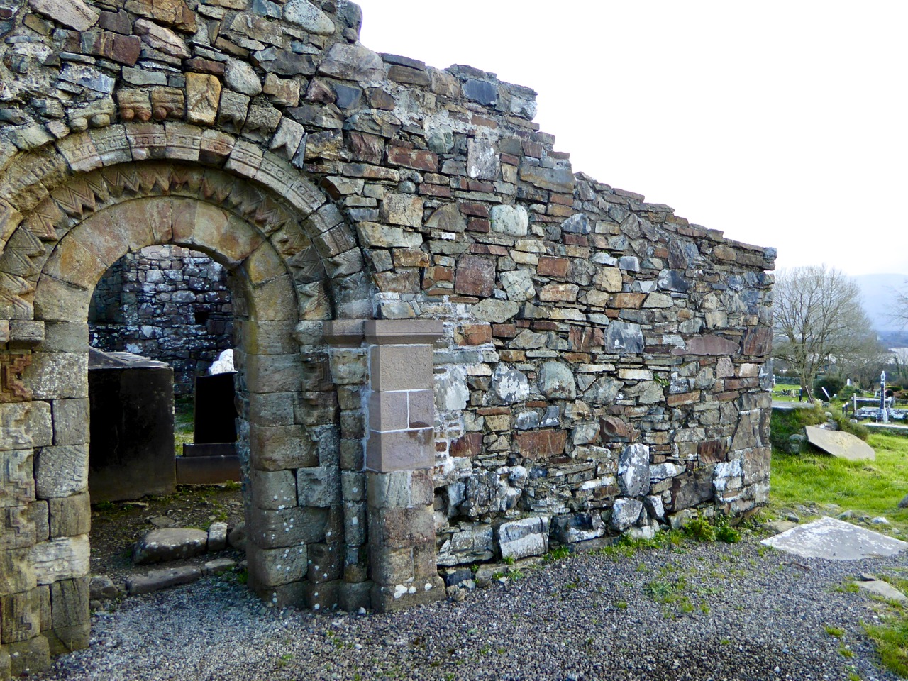
This is the ruined romanesque church of Aghadoe in Killarney. It’s got this lovely doorway, but what makes it particularly meaningful for me is that my great-grandparents are buried in the graveyard it stands in

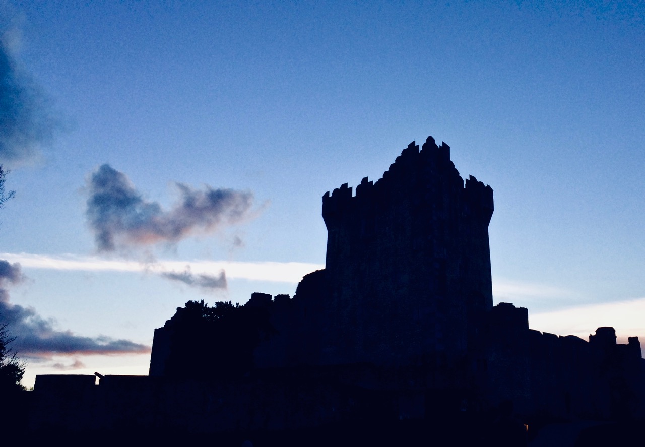
Ross Castle in Killarney against an evening sky

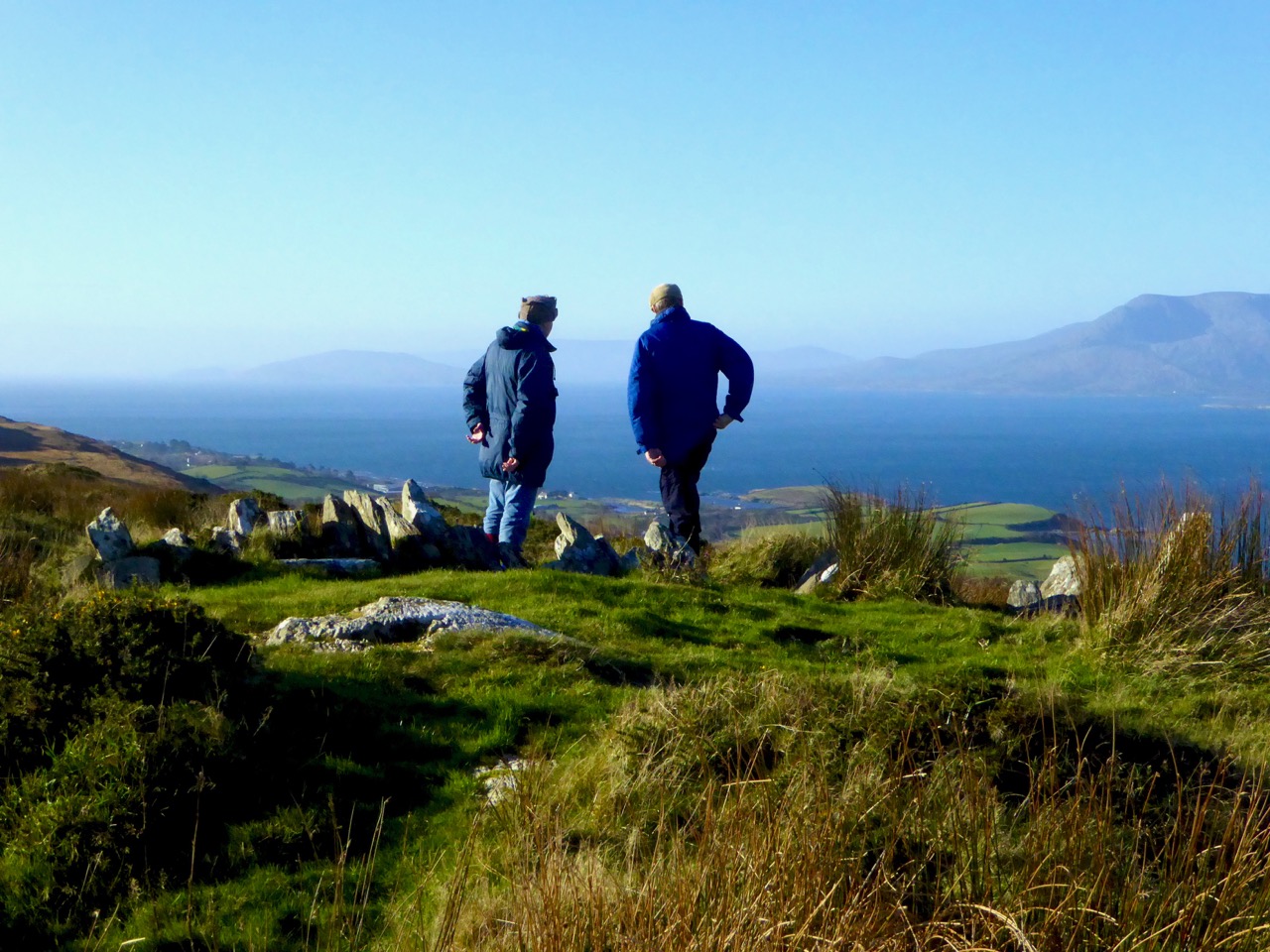
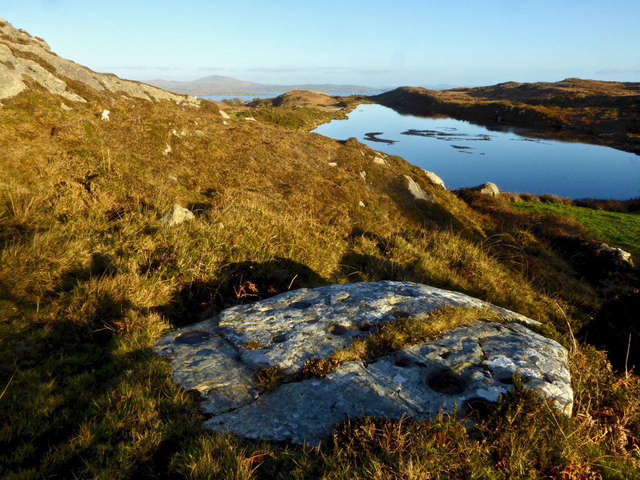
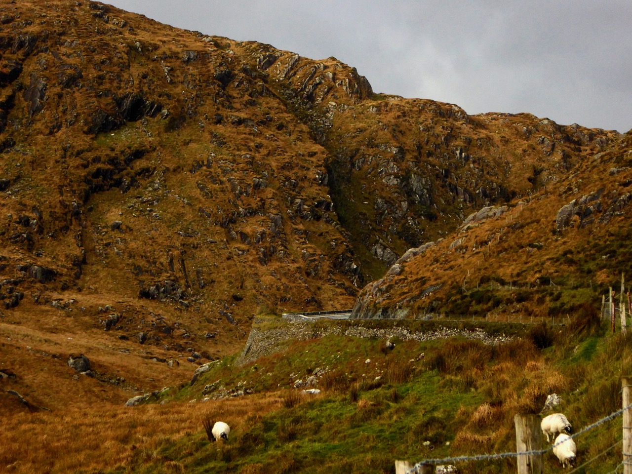
Living in West Cork is great FUN – there is always something to do and a new adventure around the corner. Many of the adventures we’ve had have been shared with our friends and fellow bloggers Amanda and Peter Clarke (Holy Wells of Cork and Hikelines). Visiting holy wells has introduced us to parts of Cork we might never have seen, to obscure saints with fascinating backstories and to folk practices that endure in the deep countryside. Walking the Sheep’s Head (my lead photograph, top of page), in all seasons, reminds us that you don’t have to go far to be immersed in jaw-dropping scenery and reminders of our ancient and more recent history.

The holy well of St Teskin, an East Cork saint

Lest you think that this is all sounding a bit academic, the posts that have been most fun to write were the ones on how we speak around here (and how you, too, can learn the basics of West Cork lingo), the ones in which I lamented my encounters with Irish bureaucracy, especially when it came to my driver’s license!

I still haven’t calmed down about the driver’s license – what they put me through, when I could have been driving THIS!

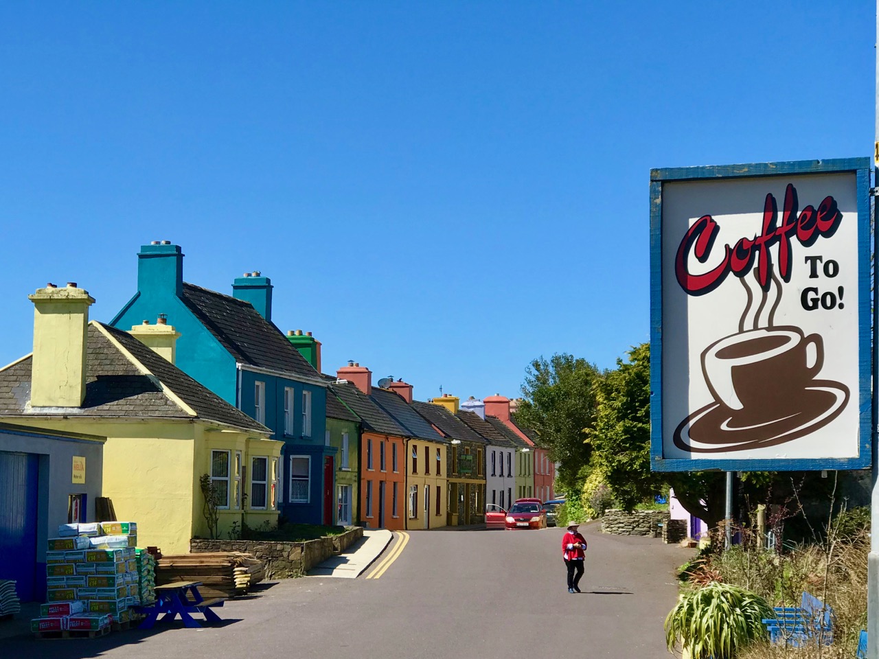
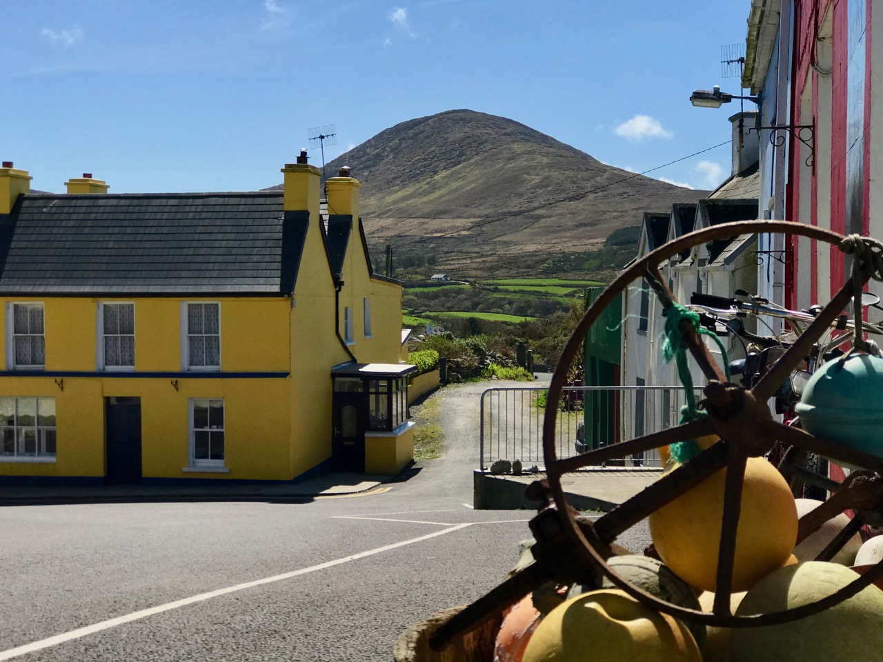
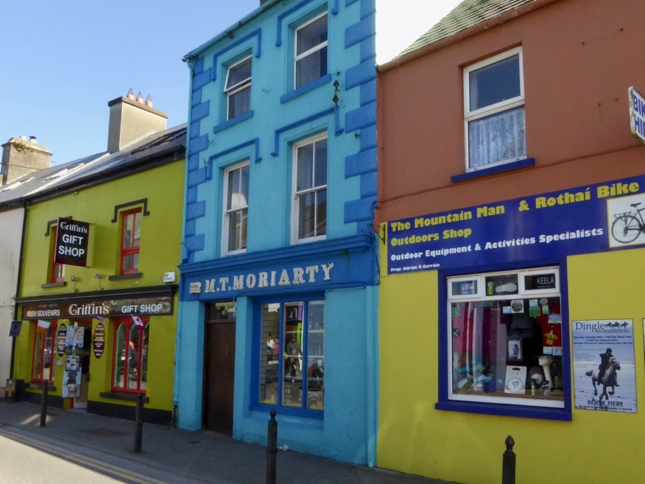
And I loved doing the posts about the tradition of painting our houses in arresting colours. With the colourful houses series, I feel a bit like a chronicler of a vanishing tradition – each time I look for one of my favourite pink or lime creations it seems to have been repainted a ‘tasteful’ variant on beige. Long live those brilliant colours – we would be poorer without them!

The town of Dingle is proudly keeping alive the tradition of painting each building a vibrant colour. – it’s a feast for the eyes

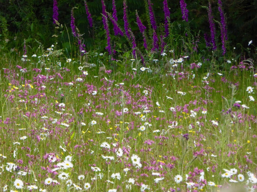
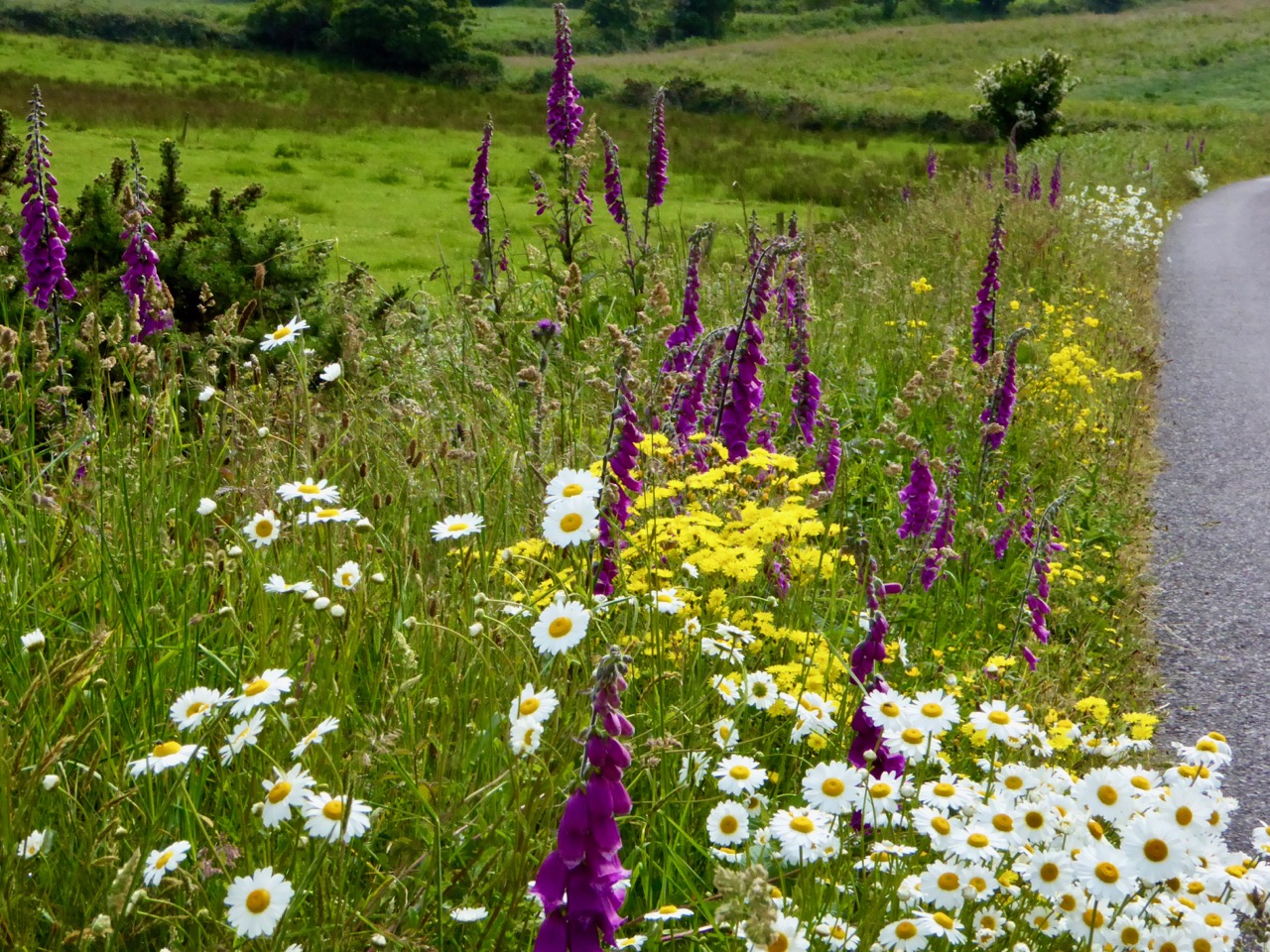
Finally, one of my greatest joys in the last couple of years has been to go for a walk with my camera and photograph the abundant wildflowers of West Cork. From someone who barely knew a daffodil from a daisy, I have developed a passion for the natural glories I see in the hedges, fields and yes, waste grounds, around me.

Just a typical roadside verge in West Cork

We adore West Cork, but we are also fearful for it as we see the pressures farmers face to make their land more and more productive. Inevitably, this means bringing in a rock breaker and turning the field into a mono-culture grass carpet. What we lose in this process – we humans, the bees and insects we depend on, the birds, and our heritage – is incalculable.

This tiny raised bog is home to some very interesting flowers, including the carnivorous Sundew

Here’s to many more adventures!

With friends like Susan Byron of Ireland’s Hidden Gems, or with my favourite travelling companion and blogging buddy, Robert!